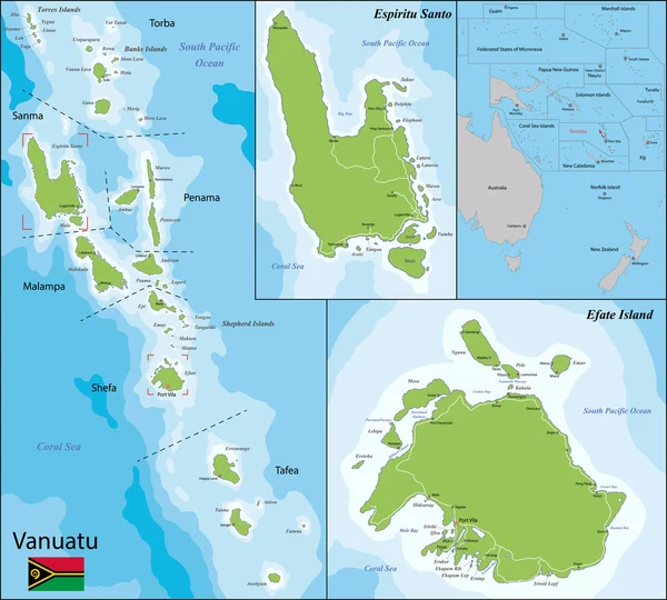
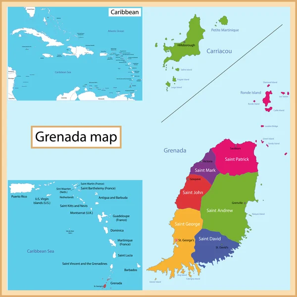
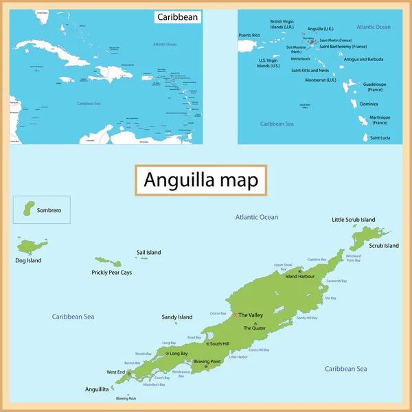
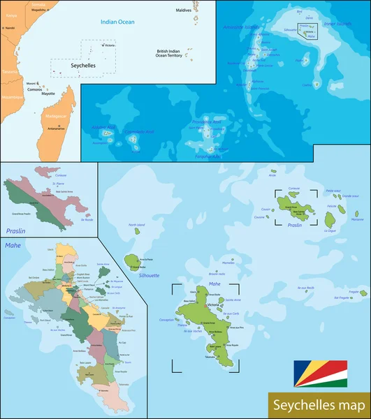
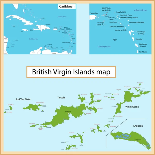
Bora bora map — Stock Vector

Bora bora map — Vector

Bora Bora is an island in the Leeward group of the Society Islands of French Polynesia, an overseas collectivity of France in the Pacific Ocean

 — Vector by Volina

Same Series:

Similar Stock Videos:

Turkmenistan on the elevation map outlined and glowed. Elements of this image furnished by NASA.
Turkmenistan outlined and glowed. Neighbourhood. Elevation — Stock Video
Water vapor pressure by month in the Albania area with animated legend - English labels: country and capital names, map description. Stereographic projection
Water Vapor Pressure Month Albania Area Animated Legend English Labels — Stock Video
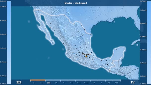
Wind speed by month in the Mexico area with animated legend - English labels: country and capital names, map description. Stereographic projection
Wind Speed Month Mexico Area Animated Legend English Labels Country — Stock Video
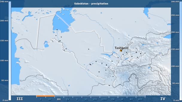
Precipitation by month in the Uzbekistan area with animated legend - English labels: country and capital names, map description. Stereographic projection
Precipitation Month Uzbekistan Area Animated Legend English Labels Country Capital — Stock Video
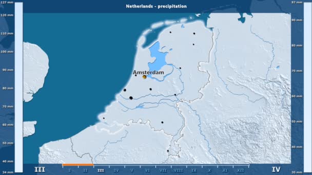
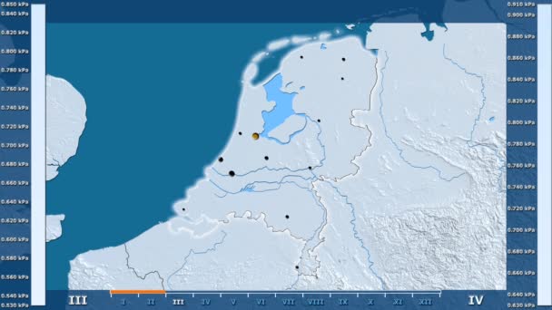
Precipitation by month in the Netherlands area with animated legend - English labels: country and capital names, map description. Stereographic projection
Precipitation Month Netherlands Area Animated Legend English Labels Country Capital — Stock Video
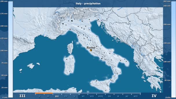
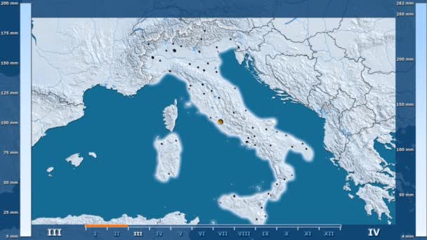
Precipitation by month in the Italy area with animated legend - English labels: country and capital names, map description. Stereographic projection
Precipitation Month Italy Area Animated Legend English Labels Country Capital — Stock Video
Water vapor pressure by month in the Georgia area with animated legend - glowing shape, administrative borders, main cities, capital. Stereographic projection
Water Vapor Pressure Month Georgia Area Animated Legend Glowing Shape — Stock Video
Water vapor pressure by month in the Israel area with animated legend - English labels: country and capital names, map description. Stereographic projection
Water Vapor Pressure Month Israel Area Animated Legend English Labels — Stock Video
Water vapor pressure by month in the Madagascar area with animated legend - English labels: country and capital names, map description. Stereographic projection
Water Vapor Pressure Month Madagascar Area Animated Legend English Labels — Stock Video
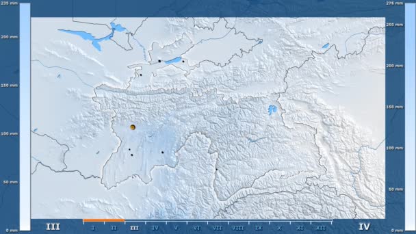
Precipitation by month in the Tajikistan area with animated legend - glowing shape, administrative borders, main cities, capital. Stereographic projection
Precipitation Month Tajikistan Area Animated Legend Glowing Shape Administrative Borders — Stock Video
Minimum temperature by month in the India area with animated legend - glowing shape, administrative borders, main cities, capital. Stereographic projection
Minimum Temperature Month India Area Animated Legend Glowing Shape Administrative — Stock Video
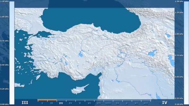
Water vapor pressure by month in the Turkey area with animated legend - raw color shader. Stereographic projection
Water Vapor Pressure Month Turkey Area Animated Legend Raw Color — Stock Video
Precipitation by month in the United States Alaska area with animated legend - English labels: country and capital names, map description. Stereographic projection
Precipitation Month United States Alaska Area Animated Legend English Labels — Stock Video
Water vapor pressure by month in the Peru area with animated legend - English labels: country and capital names, map description. Stereographic projection
Water Vapor Pressure Month Peru Area Animated Legend English Labels — Stock Video
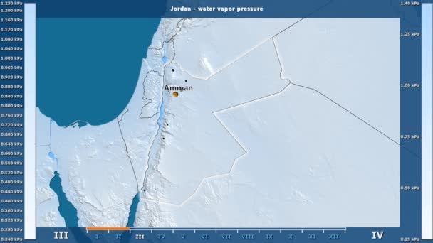
Water vapor pressure by month in the Jordan area with animated legend - English labels: country and capital names, map description. Stereographic projection
Water Vapor Pressure Month Jordan Area Animated Legend English Labels — Stock Video
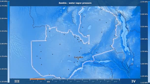
Water vapor pressure by month in the Zambia area with animated legend - English labels: country and capital names, map description. Stereographic projection
Water Vapor Pressure Month Zambia Area Animated Legend English Labels — Stock Video
Water vapor pressure by month in the Netherlands area with animated legend - glowing shape, administrative borders, main cities, capital. Stereographic projection
Water Vapor Pressure Month Netherlands Area Animated Legend Glowing Shape — Stock Video
Precipitation by month in the Italy area with animated legend - glowing shape, administrative borders, main cities, capital. Stereographic projection
Precipitation Month Italy Area Animated Legend Glowing Shape Administrative Borders — Stock Video

Usage Information

You can use this royalty-free vector image "Bora bora map" for personal and commercial purposes according to the Standard or Extended License. The Standard License covers most use cases, including advertising, UI designs, and product packaging, and allows up to 500,000 print copies. The Extended License permits all use cases under the Standard License with unlimited print rights and allows you to use the downloaded vector files for merchandise, product resale, or free distribution.

This stock vector image is scalable to any size. You can buy and download it in high resolution up to 7021x4160. Upload Date: Apr 27, 2015