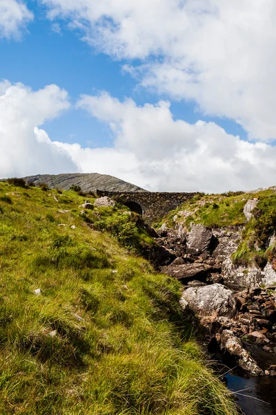
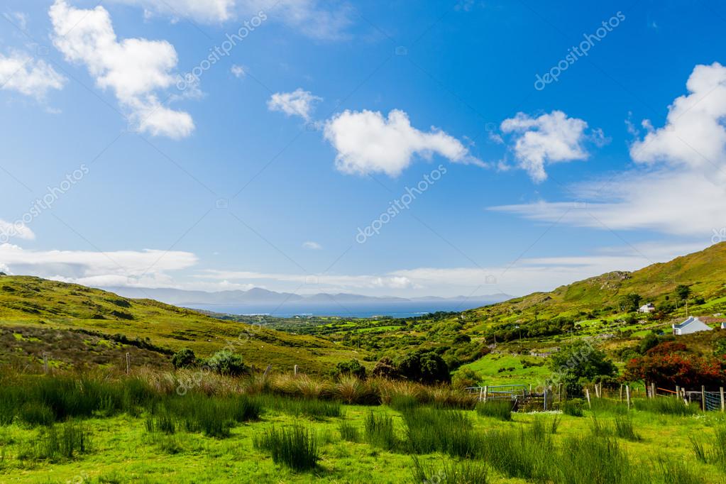
View at Staigue stone fort — Stock Photo, Image

View at Staigue stone fort — Photo

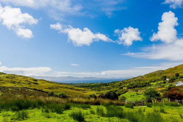
Staigue Fort, County Kerry, Ireland - August 20, 2010: View from Staigue Fort, which is a ruined stone ringfort three miles west of Sneem, on the Iveragh peninsula in County Kerry, Ireland. The fort is thought to have been built during the late Iron

 — Photo by bjoernalberts

Same Series:

Staigue Fort, County Kerry, Ireland - August 20, 2010: View from Staigue Fort, which is a ruined stone ringfort three miles west of Sneem, on the Iveragh peninsula in County Kerry, Ireland. The fort is thought to have been built during the late Iron
View at Staigue stone fort — Stock Photo, Image
Valentia Island, County Kerry, Ireland - August 20, 2010: Valentia Island is one of Ireland's most westerly points lying off the Iveragh Peninsula in the south-west of County Kerry.
Valentia Island panoramic — Stock Photo, Image
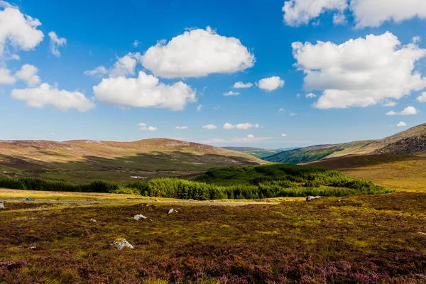
Wicklow, Leinster, Ireland- August 8 2010: The Wicklow Mountains form the largest continuous upland area in Ireland.
Wicklow Mountains in Ireland — Stock Photo, Image
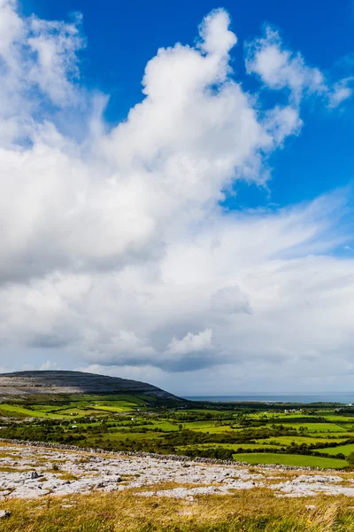
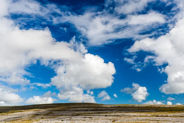
Burren region, Clare, Ireland - August 23, 2010: The Burren measures 250 square kilometres and is enclosed roughly within the circle made by the villages of Ballyvaughan, Kilfenora and Lisdoonvarna.
Burren landscape, County Clare, Ireland — Stock Photo, Image
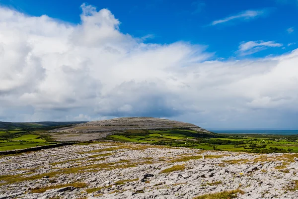
Burren region, Clare, Ireland - August 23, 2010: The Burren measures 250 square kilometres and is enclosed roughly within the circle made by the villages of Ballyvaughan, Kilfenora and Lisdoonvarna.
Burren landscape, County Clare, Ireland — Stock Photo, Image
Healy Pass, County Cork, Ireland - August 18, 2010: The Healy Pass was created in 1847 during the famine years in order to help prevent starvation.
Healy Pass, County Cork, Ireland — Stock Photo, Image
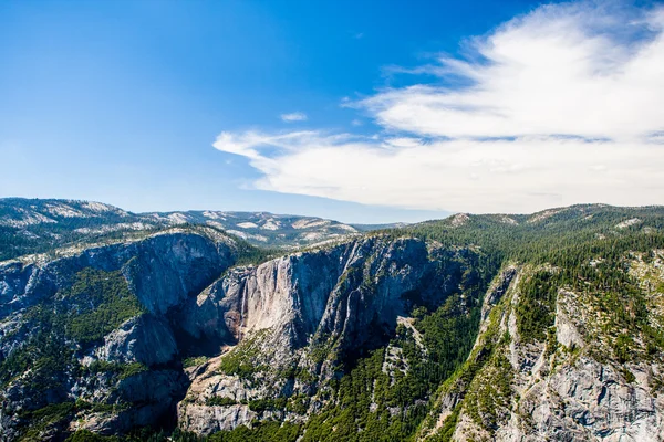
Panoramic view from Glacier Point over Yosemite Valley. Yosemite Valley is a glacial valley in Yosemite National Park in the western Sierra Nevada mountains of Northern California.
Glacier Point in Yosemite National Park, California, USA — Stock Photo, Image
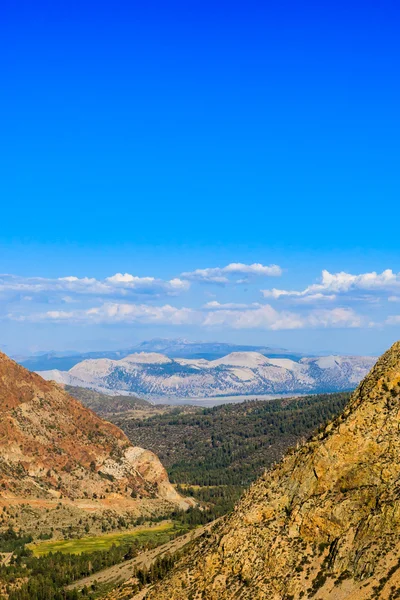
State Route 120 is located in northern California. It runs from the San Joaquin Valley near Manteca, through Yosemite National Park, to its end at U.S. Route 6 in Mono County, eastern California.
Highway 120, Inyo National Forest, California, USA — Stock Photo, Image
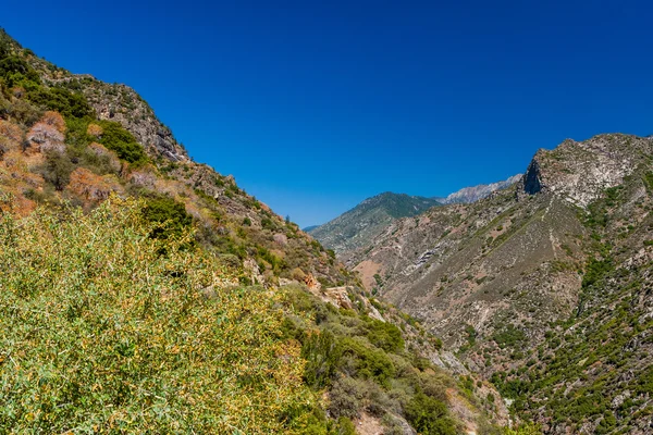
Beatiful scenic view at Highway 180, Kings Canyon National Park, Southern Sierra Nevada, California, USA.
View at Highway 180, Kings Canyon National Park, California, USA — Stock Photo, Image
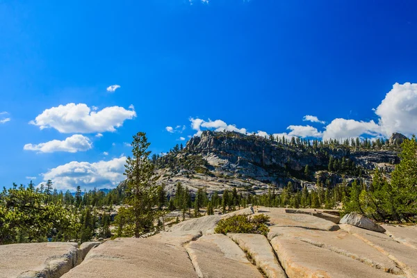
Tioga Pass is a mountain pass in the Sierra Nevada mountains. State Route 120 runs through it, and serves as the eastern entry point for Yosemite National Park, at the Tioga Pass Entrance Station.
View at Tioga Pass, Yosemite National Park, Sierra Nevada, USA — Stock Photo, Image
Burren region, Clare, Ireland - August 23, 2010: The Burren measures 250 square kilometres and is enclosed roughly within the circle made by the villages of Ballyvaughan, Kilfenora and Lisdoonvarna.
Burren landscape, County Clare, Ireland — Stock Photo, Image
State Route 120 is located in northern California. It runs from the San Joaquin Valley near Manteca, through Yosemite National Park, to its end at U.S. Route 6 in Mono County, eastern California.
Big Oak Flat Road - California State Route 120 — Stock Photo, Image
Mono Lake is a large, shallow saline soda lake in Mono County, California, formed at least 760,000 years ago as a terminal lake in an endorheic basin.
Mono Lake landscape, California, USA. — Stock Photo, Image
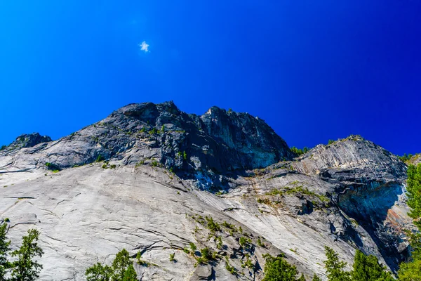
Yosemite Valley is a glacial valley in Yosemite NP in the western Sierra Nevada mountains of California. The valley is about 13 km long and up to a mile deep, surrounded by high granite summits.
Lower Yosemite Fall Trail, Yosemite Valley, California, USA — Stock Photo, Image
Alabama Hills are a range of hills and rock formations near the eastern slope of the Sierra Nevada Mountains in the Owens Valley, west of Lone Pine in Inyo County, California.
Street at the Alabama Hills, Sierra Nevada — Stock Photo, Image

Usage Information

You can use this royalty-free photo "View at Staigue stone fort" for personal and commercial purposes according to the Standard or Extended License. The Standard License covers most use cases, including advertising, UI designs, and product packaging, and allows up to 500,000 print copies. The Extended License permits all use cases under the Standard License with unlimited print rights and allows you to use the downloaded stock images for merchandise, product resale, or free distribution.

You can buy this stock photo and download it in high resolution up to 3888x2592. Upload Date: Sep 25, 2015