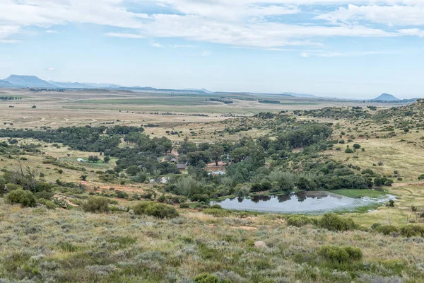
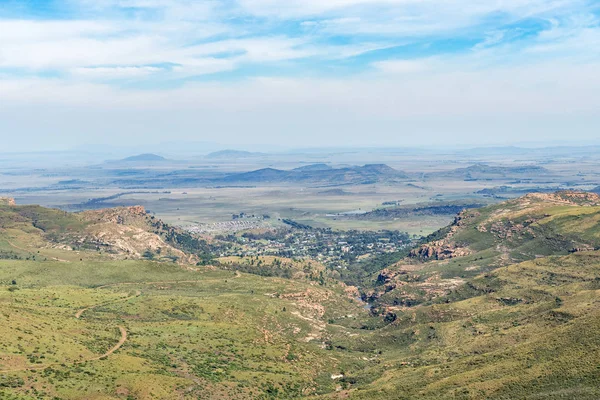
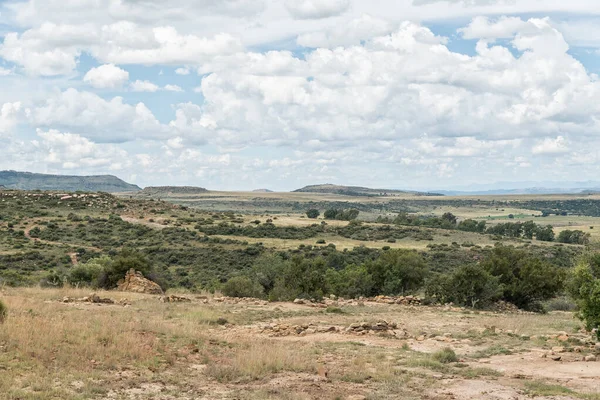
Aerial view of the landscape to the south of Ficksburg — Stock Photo, Image

Aerial view of the landscape to the south of Ficksburg — Photo

Aerial view of the landscape to the south of Ficksburg in the Free State Province

 — Photo by dpreezg

Same Series:

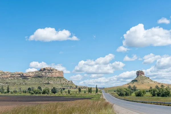
The farm landscape on road R711 between Clarens and Fouriesburg in the Free State Province
Farm Landscape Road R711 Clarens Fouriesburg Free State Province — Stock Photo, Image
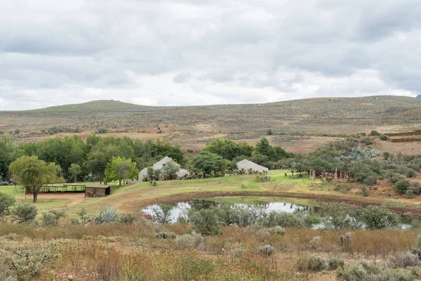
LADYBRAND, SOUTH AFRICA - MARCH 20, 2020: A dam and chalets are visible from the Zebra Hiking Trail at Eingedi near Ladybrand
Ladybrand South Africa March 2020 Dam Chalets Visible Zebra Hiking — Stock Photo, Image
Gariepdam, South Africa - Feb 21, 2023: A view of Gariepdam, a small town in the Free State Province, next to the largest dam in South Africa, the Gariep Dam
Gariepdam South Africa Feb 2023 View Gariepdam Small Town Free — Stock Photo, Image
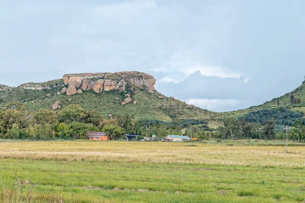
The road to Korannaberg Adventures, with the Korannaberg in the back
Road to Korannaberg Adventures, with the Korannaberg in the back — Stock Photo, Image
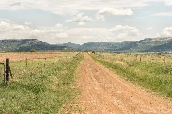
SWARTBERG, SOUTH AFRICA - MARCH 24, 2017: A farm landscape on the road between the Cango Caves and Calitzdorp
Farm landscape between Cango Caves and Calitzdorp — Stock Photo, Image
Pink and white Cosmos flowers next to road R26 between Fouriesburg and Ficksburg
Pink White Cosmos Flowers Next Road R26 Fouriesburg Ficksburg — Stock Photo, Image
Early morning view of Tierpoort Dam near Bloemfontein. The gas station is visible
Early Morning View Tierpoort Dam Bloemfontein Gas Station Visible — Stock Photo, Image
FICKSBURG, SOUTH AFRICA - MARCH 20, 2020: View of the Kommandonek railway station between Fouriesburg and Ficksburg. Buildings and a sandstone hill are visible
Ficksburg South Africa March 2020 View Kommandonek Railway Station Fouriesburg — Stock Photo, Image
The view from the historic Jouberts Pass at Lady Grey in the Eastern Cape Province. Lady Grey is visible down below
View Historic Jouberts Pass Lady Grey Eastern Cape Province Lady — Stock Photo, Image
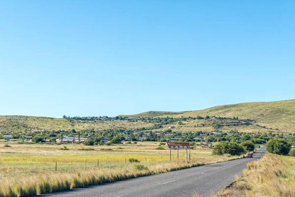
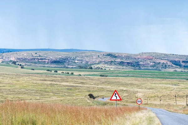
The landscape on road R26 to the south of Fouriesburg. Road signs are visible
Landscape Road R26 South Fouriesburg Road Signs Visible — Stock Photo, Image
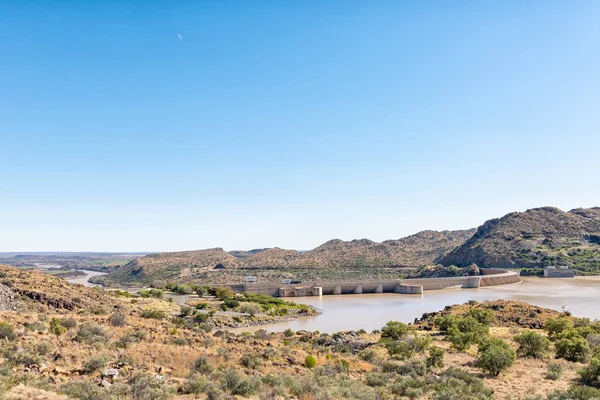
The Vanderkloof Dam in the Orange River (Gariep River) as seen from Vanderkloof town. The river below the dam wall and the moon are visible
Vanderkloof Dam Orange River Gariep River Seen Vanderkloof Town River — Stock Photo, Image
Ruins on the Eland Hiking Trail at Eingedi near Ladybrand
Ruins Eland Hiking Trail Eingedi Ladybrand — Stock Photo, Image
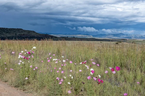
Red, pink and white Cosmos flowers, Cosmos bipinnatus, and thatching grass with a backdrop of a brewing storm
Red Pink White Cosmos Flowers Cosmos Bipinnatus Thatching Grass Backdrop — Stock Photo, Image
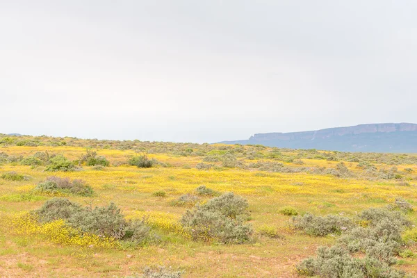
A field of yellow flowers near Vanrhynsdorp in the Western Cape Province of South Africa
Field of yellow flowers — Stock Photo, Image
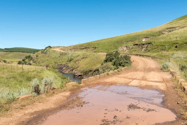
Bridge over the Tsitsa River in the Pot River Pass in the Eastern Cape Province
Bridge Tsitsa River Pot River Pass Eastern Cape Province — Stock Photo, Image
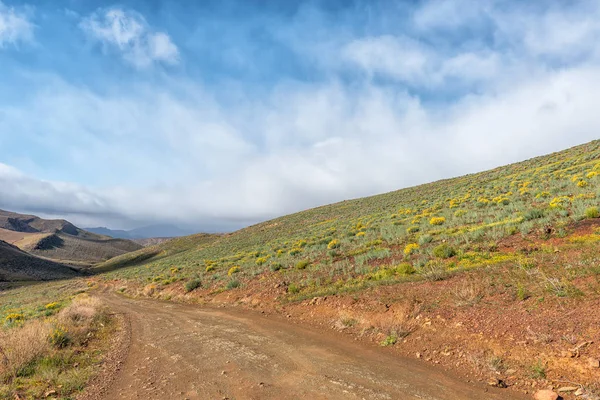
The road between Matjiesrivier and Wupperthal in the Cederberg Mountains of the Western Cape Province. Wild flowers are visible
Road Matjiesrivier Wupperthal Cederberg Mountains Western Cape Province Wild Flowers — Stock Photo, Image

Usage Information

You can use this royalty-free photo "Aerial view of the landscape to the south of Ficksburg" for personal and commercial purposes according to the Standard or Extended License. The Standard License covers most use cases, including advertising, UI designs, and product packaging, and allows up to 500,000 print copies. The Extended License permits all use cases under the Standard License with unlimited print rights and allows you to use the downloaded stock images for merchandise, product resale, or free distribution.

You can buy this stock photo and download it in high resolution up to 3595x2400. Upload Date: Apr 15, 2018