Imaginary General Urban Plan Cadastral Map Indications Urban Destinations Buildings — Stock Photo, Image

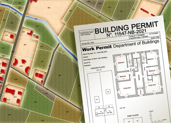
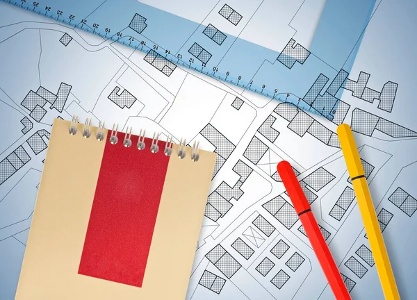
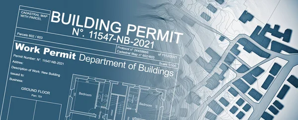
Imaginary General Urban Plan and cadastral map with indications of urban destinations and Buildings Permit stamp — Photo

Imaginary General Urban Plan and cadastral map with indications of urban destinations and Buildings Permit stamp

 — Photo by Francescoscatena

Same Series:

Imaginary General Urban Plan and cadastral map with indications of urban destinations and Buildings Permit stamp
Imaginary General Urban Plan Cadastral Map Indications Urban Destinations Buildings — Stock Photo, Image
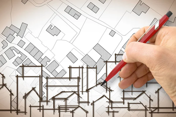
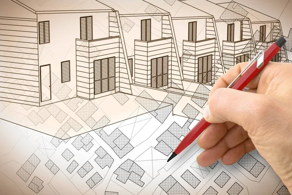
Architect drawing a residential building over an imaginary cadastral map of territory with buildings, fields and roads
Architect drawing a residential building over an imaginary cadas — Stock Photo, Image
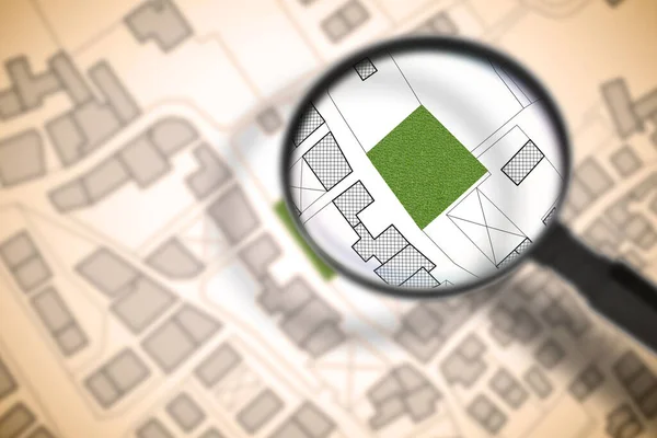
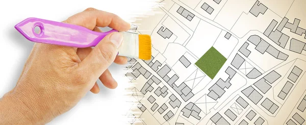
Imaginary cadastral map of territory with a free green land available for building construction. Concept image with buildings and roads through magnifying glass.
Imaginary Cadastral Map Territory Free Green Land Available Building Construction — Stock Photo, Image
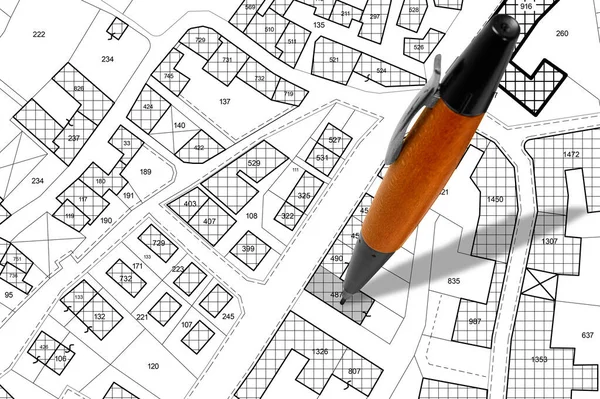
Imaginary cadastral map with buildings, land parcel and vacant plot - land and property registry and real estate property concept illustration with pen
Imaginary Cadastral Map Buildings Land Parcel Vacant Plot Land Property — Stock Photo, Image
Imaginary General Urban Plan and Buildings Permit in rural areas - concept image - note: the map and the permit are totally invented and does not represent any real place
Imaginary General Urban Plan Buildings Permit Rural Areas Concept Image — Stock Photo, Image
Imaginary cadastral map of territory with buildings and land plots drawn with a CAD (Computer-Aided-Design) computer software in dwg format file - concept with hand and digital pen
Imaginary Cadastral Map Territory Buildings Land Plots Drawn Cad Computer — Stock Photo, Image
Imaginary cadastral map of territory with buildings, roads and land parcel - Concept image with 3D render of a digital tablet and hand writing on a white sheet.
Imaginary Cadastral Map Territory Buildings Roads Land Parcel Concept Image — Stock Photo, Image
3D rendering of colored work tool over a cadastral map of territory with buildings, fields and roads - concept image.
Rendering Colored Work Tool Cadastral Map Territory Buildings Fields Roads — Stock Photo, Image
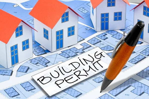
Buildings Permit concept with imaginary cadastral map - building activity and construction industry concept with city map and building work permission
Buildings Permit Concept Imaginary Cadastral Map Building Activity Construction Industry — Stock Photo, Image
Architect drawing a duplex residential building over an imaginary cadastral map of territory with buildings, fields and roads
Architect Drawing Duplex Residential Building Imaginary Cadastral Map Territory Buildings — Stock Photo, Image
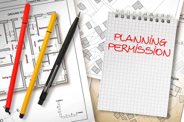
Planning permission concept with imaginary General Urban Plan, cadastral map and notebook
Planning Permission Concept Imaginary General Urban Plan Cadastral Map Notebook — Stock Photo, Image
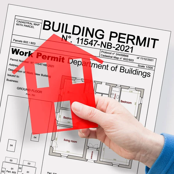
Building Permit concept with imaginary building approvation and residential home icon
Building Permit Concept Imaginary Building Approvation Residential Home Icon — Stock Photo, Image
Thermal insulation design of old buildings to improve energy efficiency and reduce thermal losses - 3D render concept image
Thermal insulation design of old buildings to improve energy eff — Stock Photo, Image
Planning a new city - concept image with an imaginary cadastral map of territory with buildings, land parcel and 3D rendering of a geodesic device, called Total Station, used to survey and draw topographic maps.
Planning New City Concept Image Imaginary Cadastral Map Territory Buildings — Stock Photo, Image
Building Permit concept with imaginary building approvation and cadastral map with home model and text
Building Permit Concept Imaginary Building Approvation Cadastral Map Home Model — Stock Photo, Image
Imaginary cadastral map of territory with a free green land available for building construction - Concept image
Imaginary cadastral map of territory with a free green land avai — Stock Photo, Image

Usage Information

You can use this royalty-free photo "Imaginary General Urban Plan and cadastral map with indications of urban destinations and Buildings Permit stamp" for personal and commercial purposes according to the Standard or Extended License. The Standard License covers most use cases, including advertising, UI designs, and product packaging, and allows up to 500,000 print copies. The Extended License permits all use cases under the Standard License with unlimited print rights and allows you to use the downloaded stock images for merchandise, product resale, or free distribution.

You can buy this stock photo and download it in high resolution up to 5751x4147. Upload Date: Sep 24, 2022