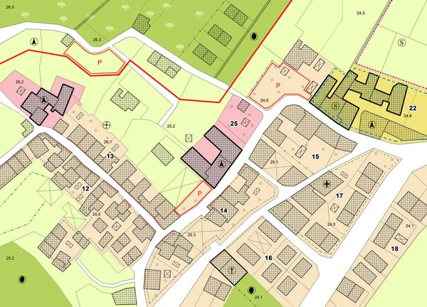
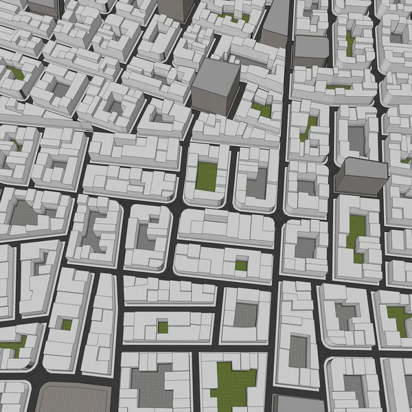
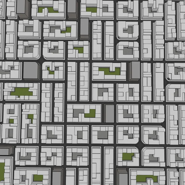
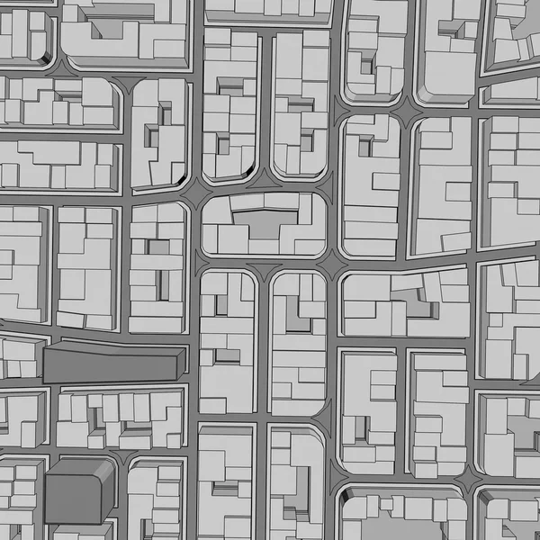
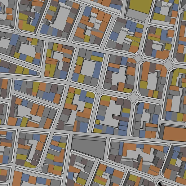
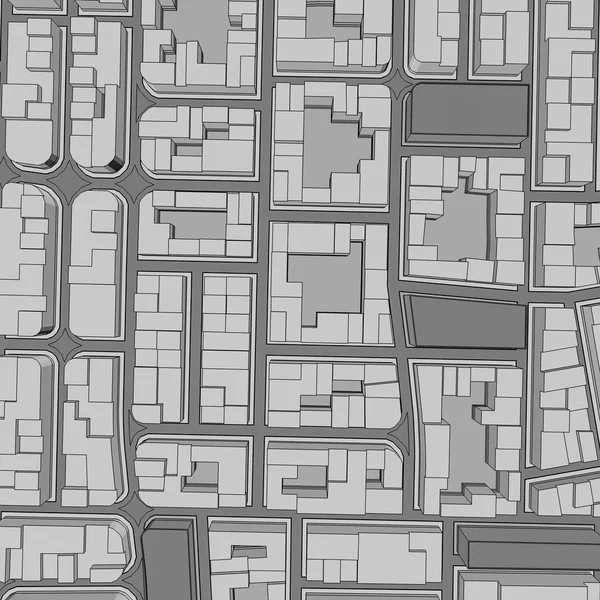
Imaginary General Urban Plan with indications of urban destinations with buildings, roads, buildable areas and land plot - note: the map is totally invented and does not represent any real place
Imaginary General Urban Plan Indications Urban Destinations Buildings Roads Buildable — Stock Photo, Image
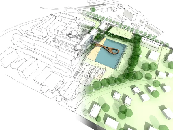
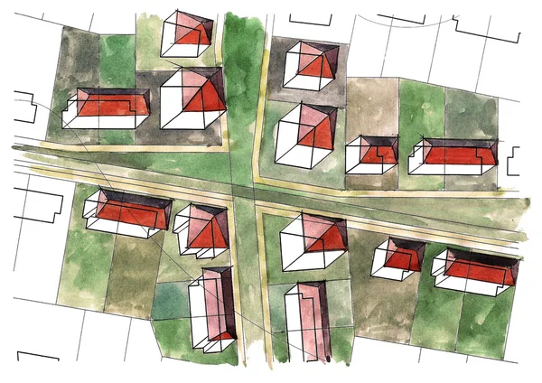
Illustration of an idea in urban design
Illustration of an idea in urban design — Stock Photo, Image
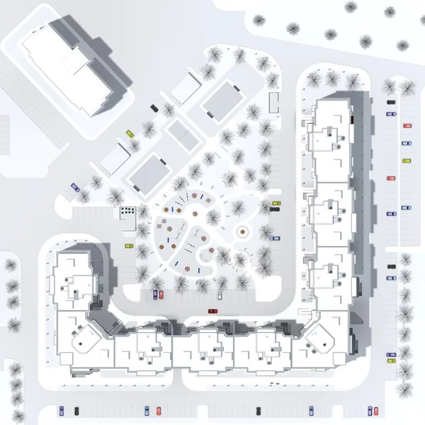
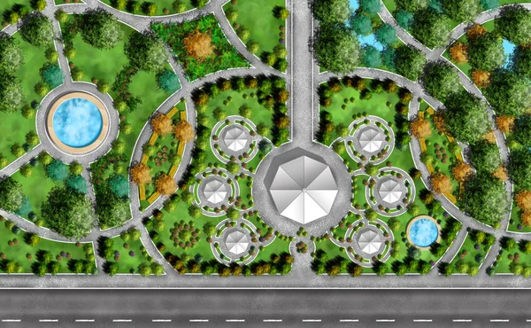
Architectural master plan of a building
Architectural master plan of a building — Stock Photo, Image
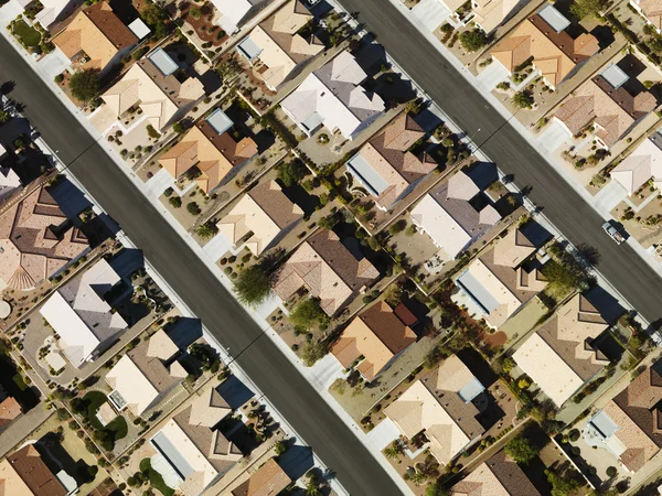
Aerial views of houses
Aerial views of houses — Stock Photo, Image
City plan hand drawn
City plan hand drawn — Stock Photo, Image
Figures on a children's playground in Germany
Figures on a children's playground in Germany — Stock Photo, Image
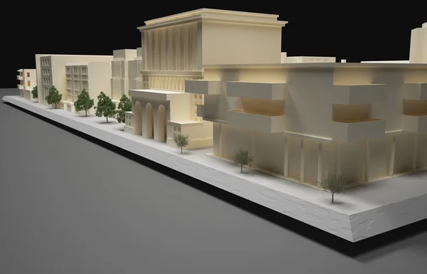
Architect plan model
Architect plan model — Stock Photo, Image
3d illustration of city topographic map
3d illustration of city topographic map — Stock Photo, Image
Businesswoman walking in street
Businesswoman walking in street — Stock Photo, Image
Architect working
Architect working — Stock Photo, Image
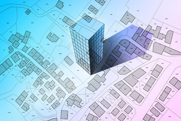
Imaginary cadastral map of territory with building in the center - land registry concept illustration - Note: the map background is totally invented and does not represent any real place.
Imaginary Cadastral Map Territory Building Center Land Registry Concept Illustration — Stock Photo, Image
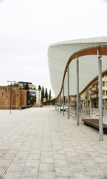
Ornamental structure in a square in Terrassa
Ornamental structure in a square in Terrassa — Stock Photo, Image
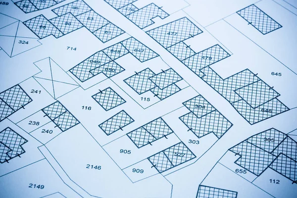
Imaginary cadastral map with buildings, land parcel and vacant plot printed on pape
Imaginary Cadastral Map Buildings Land Parcel Vacant Plot Printed Pape — Stock Photo, Image
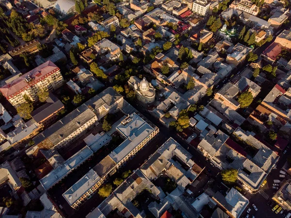
Tbilisi aerial landscape city photo
Tbilisi Aerial Landscape City Photo — Stock Photo, Image
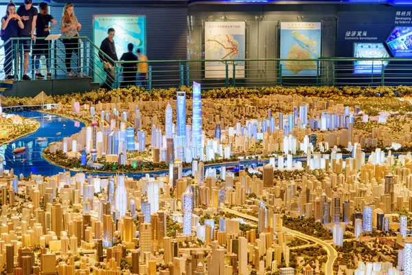
Shanghai, China - October 3, 2017: Part of a huge scale model of the city including skyscrapers in the Pudong New District (Lujiazui) at downtown. The Shanghai Urban Planning Exhibition Center.
Shanghai China October 2017 Part Huge Scale Model City Including — Stock Photo, Image
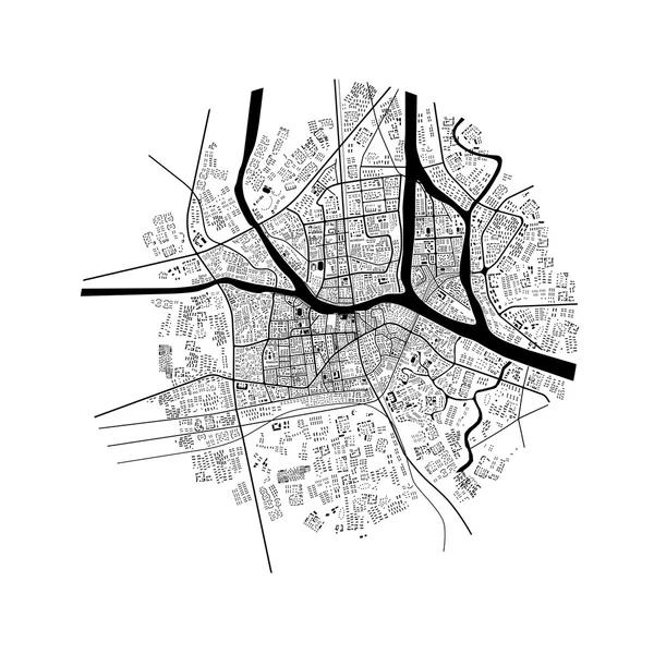
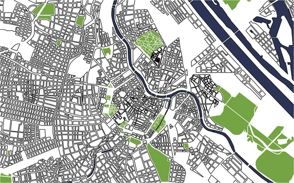
City Map of Vienna, Austria
City Map of Vienna, Austria — Stock Photo, Image
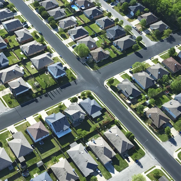
Suburban houses aerial.
Suburban houses aerial. — Stock Photo, Image
3d illustration of city topographic map
3d illustration of city topographic map — Stock Photo, Image
Futuristic architect doing urban planning
Futuristic architect doing urban planning — Stock Photo, Image
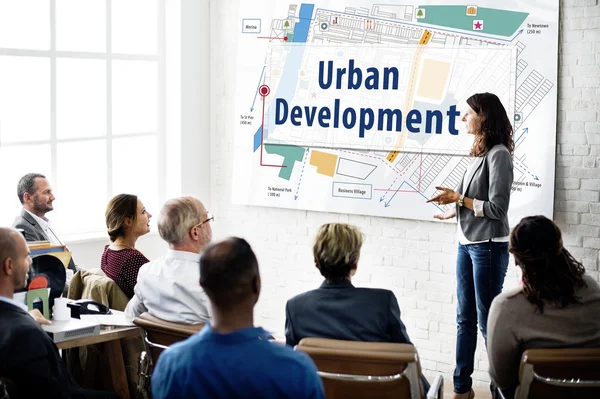
Top view of eight architects cooperating in urban development
Top view of eight architects cooperating in urban development — Stock Photo, Image
Residential houses quarter
Residential houses quarter — Stock Photo, Image
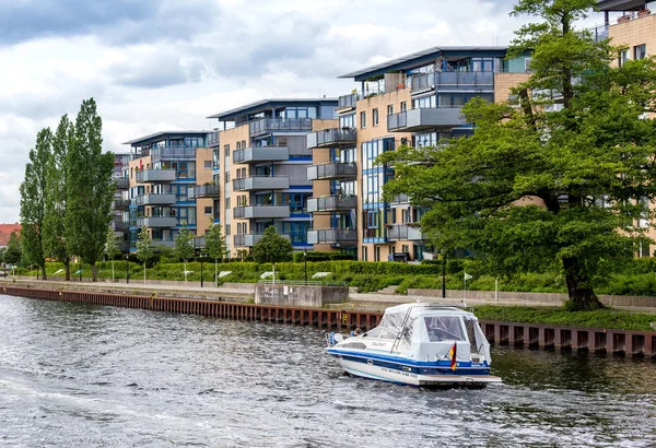
Live near a river
Live near a river — Stock Photo, Image
Fast connection in the city. Abstract technology background
Fast connection in the city. Abstract technology background — Stock Photo, Image
Landscape Architect Plan
Landscape Architect Plan — Stock Photo, Image
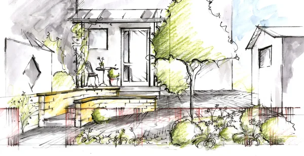
Garden plan View Sketch
Garden plan View Sketch — Stock Photo, Image
Business People at Meeting
Business People at Meeting — Stock Photo, Image
Business People discussing project
Business People discussing project — Stock Photo, Image
Shaking hands after business meeting
Shaking hands after business meeting — Stock Photo, Image
Texas suburb.
Texas suburb. — Stock Photo, Image
Architect working on blueprints
Architect working on blueprints — Stock Photo, Image
Plans
Plans — Stock Photo, Image
Abstract buildings
Abstract buildings — Stock Photo, Image
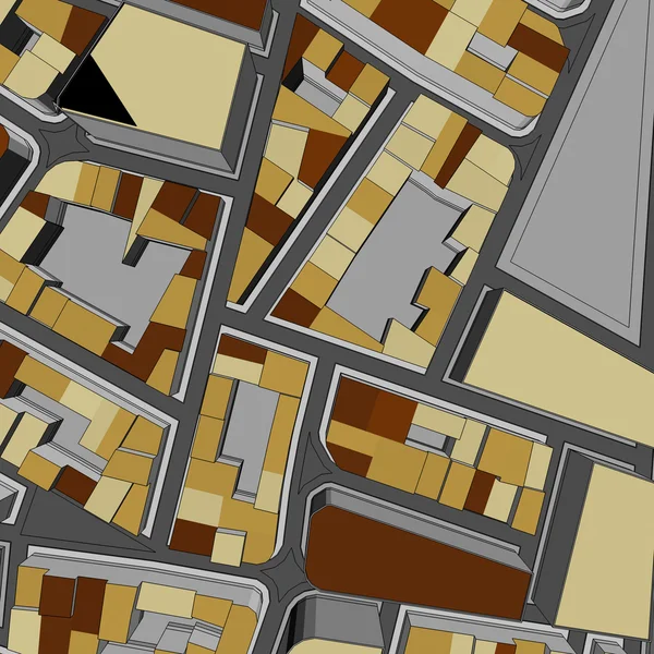
Cartoon town bird eye view urban
Cartoon town bird eye view urban — Stock Photo, Image
Monotone line drawing view of landscape
Monotone line drawing view of landscape — Stock Photo, Image
Cartoon town bird eye view urban
Cartoon town bird eye view urban — Stock Photo, Image
City top view
City top view — Stock Photo, Image
Cartoon town bird eye view urban background
Cartoon town bird eye view urban background — Stock Photo, Image
Satellite view of Shanghai, map of the city with house and building. Silhouette, black and white. Skyscrapers. China. People's Republic of China. 3d rendering
Satellite View Shanghai Map City House Building Silhouette Black White — Stock Photo, Image
Cartoon town bird eye view urban background
Cartoon town bird eye view urban background — Stock Photo, Image
Cartoon town bird eye view urban background
Cartoon town bird eye view urban background — Stock Photo, Image
Cartoon town bird eye view urban background
Cartoon town bird eye view urban background — Stock Photo, Image
Cartoon town bird eye view urban
Cartoon town bird eye view urban — Stock Photo, Image
Cartoon town bird eye view urban background
Cartoon town bird eye view urban background — Stock Photo, Image
Cartoon town bird eye view urban background
Cartoon town bird eye view urban background — Stock Photo, Image
Cartoon town bird eye view urban background
Cartoon town bird eye view urban background — Stock Photo, Image
Mitad Del Mundo Planetarium Aerial Image
Mitad Del Mundo Planetarium Aerial Image — Stock Photo, Image
Cartoon town bird eye view urban
Cartoon town bird eye view urban — Stock Photo, Image
Cartoon town bird eye view urban background
Cartoon town bird eye view urban background — Stock Photo, Image
Geometrical watercolor texture repeat modern pattern
Geometrical Watercolor Texture Repeat Modern Pattern — Stock Photo, Image
Cartoon town bird eye view urban background
Cartoon town bird eye view urban background — Stock Photo, Image
Techno mega city; urban and futuristic technology concepts, original 3d rendering
Techno Mega City Urban Futuristic Technology Concepts Original Rendering — Stock Photo, Image
Techno mega city; urban and futuristic technology concepts, original 3d rendering
Techno Mega City Urban Futuristic Technology Concepts Original Rendering — Stock Photo, Image
Cartoon town bird eye view urban background
Cartoon town bird eye view urban background — Stock Photo, Image
Cartoon town bird eye view urban
Cartoon town bird eye view urban — Stock Photo, Image
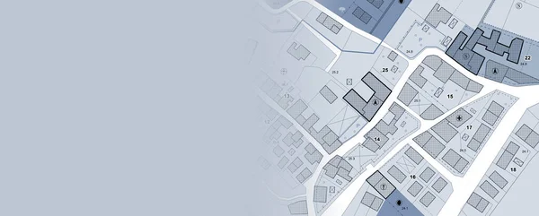
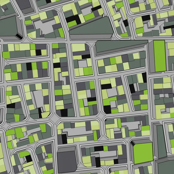
Imaginary General Urban Plan with urban destinations, roads, buildable areas and land plot - Banner design with copy space - note: the map is totally invented and does not represent any real place
Imaginary General Urban Plan Urban Destinations Roads Buildable Areas Land — Stock Photo, Image
Cartoon town bird eye view urban background
Cartoon town bird eye view urban background — Stock Photo, Image
Cartoon town bird eye view urban background
Cartoon town bird eye view urban background — Stock Photo, Image
Springdale - 3D model aerial rendering
Springdale Model Aerial Rendering — Stock Photo, Image
Cartoon town bird eye view urban
Cartoon town bird eye view urban — Stock Photo, Image
Cartoon town bird eye view urban background
Cartoon town bird eye view urban background — Stock Photo, Image
City top view
City top view — Stock Photo, Image
Cartoon town bird eye view urban background
Cartoon town bird eye view urban background — Stock Photo, Image
Model of city, blurry picture of isometric modern city streets
Model City Blurry Picture Isometric Modern City Streets — Stock Photo, Image
Cartoon town bird eye view urban background
Cartoon town bird eye view urban background — Stock Photo, Image
Cartoon town bird eye view urban background
Cartoon town bird eye view urban background — Stock Photo, Image
Los Angeles downtown 3D miniature model. 3D rendering.
Los Angeles Downtown Miniature Model Rendering — Stock Photo, Image
Cartoon town bird eye view urban background
Cartoon town bird eye view urban background — Stock Photo, Image
Cartoon town bird eye view urban background
Cartoon town bird eye view urban background — Stock Photo, Image
Aerial top view of a car driving test center with street road. Course field, practice vehicle school. Map site design.
Aerial Top View Car Driving Test Center Street Road Course — Stock Photo, Image
Cartoon town bird eye view urban
Cartoon town bird eye view urban — Stock Photo, Image
Cartoon town bird eye view urban
Cartoon town bird eye view urban — Stock Photo, Image
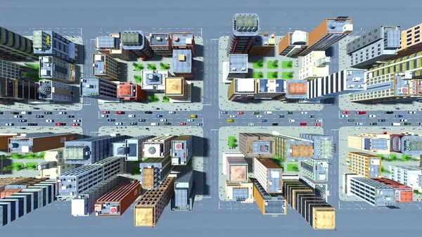
3d map of city
3d map of city — Stock Photo, Image
Dark Grunge Geometric Pattern
Dark Grunge Geometric Pattern — Stock Photo, Image
Salt Lake City Airport - SLC - 3D model aerial rendering
Salt Lake City Airport Slc Model Aerial Rendering — Stock Photo, Image
Urban background
Urban background — Stock Photo, Image
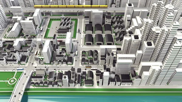
3D-CG image of bird's-eye viewing city
3D-CG image of bird's-eye viewing city — Stock Photo, Image
Cartoon town bird eye view urban
Cartoon town bird eye view urban — Stock Photo, Image
Cartoon town bird eye view urban background
Cartoon town bird eye view urban background — Stock Photo, Image
Cartoon town bird eye view urban background
Cartoon town bird eye view urban background — Stock Photo, Image
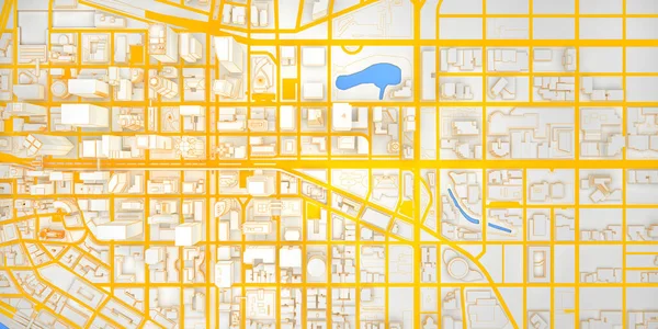
White low poly modern downtown with yellow roads top view. 3d rendering
White Low Poly Modern Downtown Yellow Roads Top View Rendering — Stock Photo, Image
Modern city panorama 3d illustration
Modern City Panorama Illustration — Stock Photo, Image
Cartoon town bird eye view urban background
Cartoon town bird eye view urban background — Stock Photo, Image
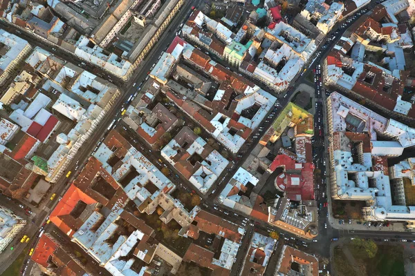
Aerial view of the historical center of Lviv, Ukraine. UNESCO's cultural heritage. Shooting with drone
Aerial View Historical Center Lviv Ukraine Unesco Cultural Heritage Shooting — Stock Photo, Image
Cartoon town bird eye view urban background
Cartoon town bird eye view urban background — Stock Photo, Image
Cartoon town bird eye view urban
Cartoon town bird eye view urban — Stock Photo, Image
Cartoon town bird eye view urban background
Cartoon town bird eye view urban background — Stock Photo, Image
Cartoon town bird eye view urban
Cartoon town bird eye view urban — Stock Photo, Image
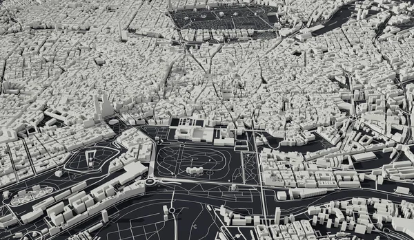
Madrid, Spain city map aerial view. minimal design. 3D Rendering,
Madrid Spain City Map Aerial View Minimal Design Rendering — Stock Photo, Image
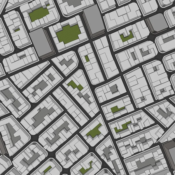
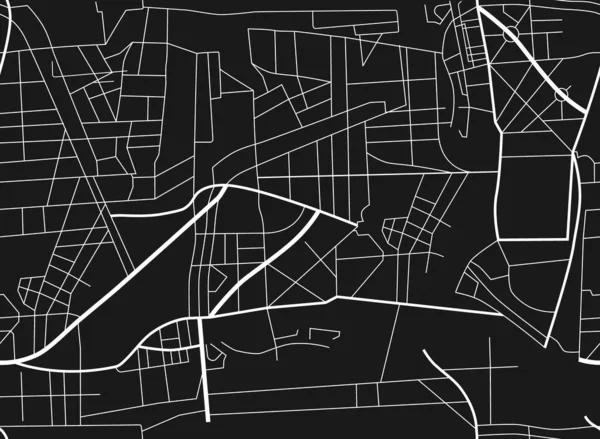
Raster illustration city map. Scheme of roads. City map seamless pattern
Raster Illustration City Map Scheme Roads City Map Seamless Pattern — Stock Photo, Image
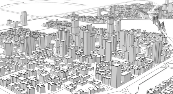
3D CG rendering of city scape
Rendering City Scape — Stock Photo, Image
Cartoon town bird eye view urban background
Cartoon town bird eye view urban background — Stock Photo, Image
Cartoon town bird eye view urban background
Cartoon town bird eye view urban background — Stock Photo, Image
Cartoon town bird eye view urban background
Cartoon town bird eye view urban background — Stock Photo, Image
Cartoon town bird eye view urban background
Cartoon town bird eye view urban background — Stock Photo, Image
Cartoon town bird eye view urban background
Cartoon town bird eye view urban background — Stock Photo, Image
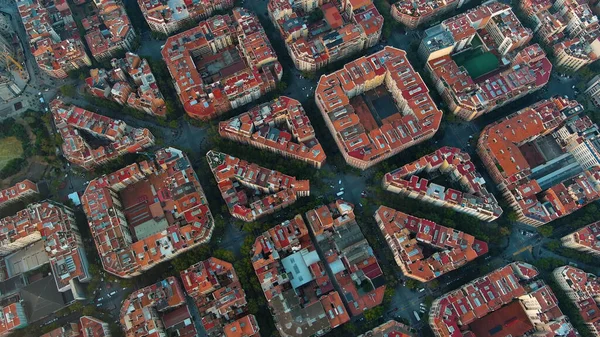
Barcelona City above the clouds and fog, typical buildings of Barcelona cityscape, Eixample residential famous urban grid, diagonal avenue, Spain
Barcelona City Clouds Fog Typical Buildings Barcelona Cityscape Eixample Residential — Stock Photo, Image
Cartoon town bird eye view urban background
Cartoon town bird eye view urban background — Stock Photo, Image
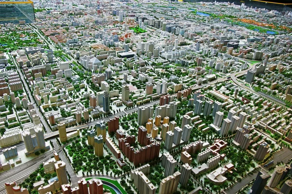
Surround plan of Beijing.
Surround plan of Beijing. — Stock Photo, Image
Cartoon town bird eye view urban background
Cartoon town bird eye view urban background — Stock Photo, Image

Related image searches

Urban Planning Images for Your Creative Projects

Are you searching for high-quality and stunning urban planning images for your next creative project? Look no further than this extensive stock image collection! Our images are available in JPG, AI, and EPS formats, and can be used for a wide range of purposes, all related to urban planning.

Types of Images Available

We offer a wide variety of urban planning images, including cityscapes, infrastructure, architecture, transportation, and construction. Each image is carefully selected to showcase the best of urban planning, from modern high-rise buildings to historic landmarks. No matter what type of project you're working on, we have the perfect images for you.

How to Use Urban Planning Images Effectively

When choosing images for your creative project, it's essential to keep your target audience in mind. For instance, if your project is geared towards architects, you may want to select images that showcase unique urban designs and cutting-edge architecture. Alternatively, if you're working on a city planning project, you may want to select images that show transportation infrastructure, traffic, and public spaces.

Another crucial aspect of using urban planning images effectively is to ensure that they are of high quality. Blurry or low-resolution images can negatively impact the overall impression of your project. Additionally, it's important to take the time to select images that fit well with your project's color scheme and theme. The right images can help communicate your message effectively and enhance the overall impact of your project.

Where to Use Urban Planning Images

Our urban planning images can be used in a wide variety of projects, including brochures, reports, presentations, websites, and social media marketing. Architects, urban planners, graphic designers, and marketing specialists can all benefit from our high-quality images. Whether you're creating a proposal for a new development or marketing your services to potential clients, our images can help you tell your story in a visually stunning way.

In conclusion, adding urban planning images to your creative projects can help you communicate ideas and visually enhance content. By selecting high-quality, relevant images that fit well with your project's theme and audience, you can deliver a powerful message that resonates with your viewers. So, explore our stock image collection today and find the perfect urban planning images for your next project!