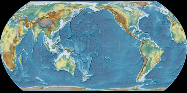
World Map Gott Equal Area Projection Centered East Longitude Main — Stock Photo, Image

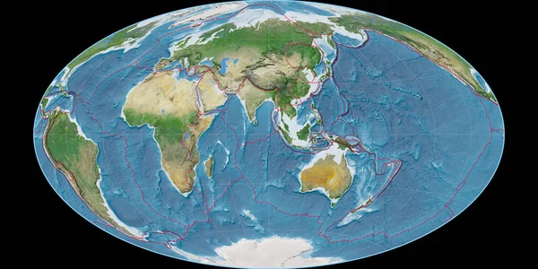
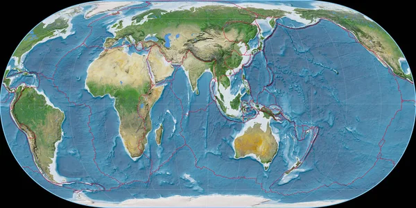
World map in the Gott Equal-Area projection centered on 90 East longitude. Main physiographic landscape features - composite of raster with graticule and tectonic plates borders. 3D illustration — Photo

World map in the Gott Equal-Area projection centered on 90 East longitude. Main physiographic landscape features - composite of raster with graticule and tectonic plates borders. 3D illustration

 — Photo by Yarr65

Same Series:

World map in the Hammer Oblique projection centered on 90 East longitude. Main physiographic landscape features - composite of raster with graticule and tectonic plates borders. 3D illustration
World Map Hammer Oblique Projection Centered East Longitude Main Physiographic — Stock Photo, Image
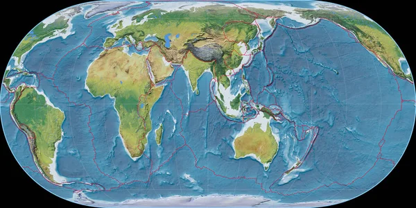
World map in the Hufnagel projection centered on 90 East longitude. Main physiographic landscape features - composite of raster with graticule and tectonic plates borders. 3D illustration
World Map Hufnagel Projection Centered East Longitude Main Physiographic Landscape — Stock Photo, Image
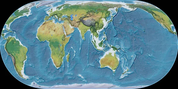
World map in the Hufnagel projection centered on 90 East longitude. Main physiographic landscape features - raw composite of raster with graticule. 3D illustration
World Map Hufnagel Projection Centered East Longitude Main Physiographic Landscape — Stock Photo, Image
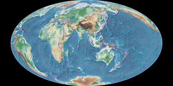
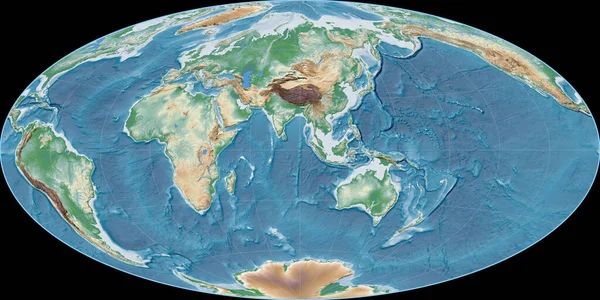
World map in the Hammer Oblique projection centered on 90 East longitude. Colored shader, elevation map - composite of raster with graticule and tectonic plates borders. 3D illustration
World Map Hammer Oblique Projection Centered East Longitude Colored Shader — Stock Photo, Image
World map in the Hatano projection centered on 11 East longitude. Main physiographic landscape features - raw composite of raster with graticule. 3D illustration
World Map Hatano Projection Centered East Longitude Main Physiographic Landscape — Stock Photo, Image
World map in the Kavraisky VII projection centered on 11 East longitude. Main physiographic landscape features - raw composite of raster with graticule. 3D illustration
World Map Kavraisky Vii Projection Centered East Longitude Main Physiographic — Stock Photo, Image
World map in the Hufnagel projection centered on 90 East longitude. Satellite imagery A - composite of raster with graticule and tectonic plates borders. 3D illustration
World Map Hufnagel Projection Centered East Longitude Satellite Imagery Composite — Stock Photo, Image
World map in the Hufnagel projection centered on 11 East longitude. Main physiographic landscape features - composite of raster with graticule and tectonic plates borders. 3D illustration
World Map Hufnagel Projection Centered East Longitude Main Physiographic Landscape — Stock Photo, Image
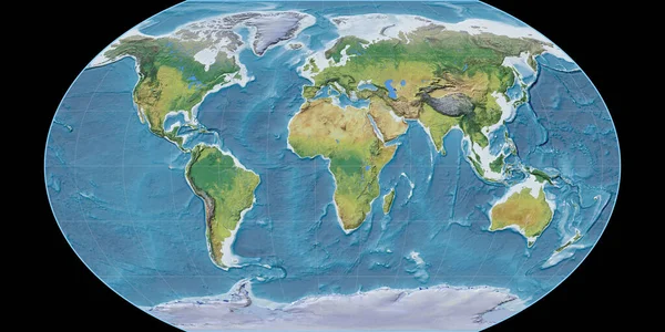
World map in the Aitoff projection centered on 11 East longitude. Satellite imagery A - raw composite of raster with graticule. 3D illustration
World Map Aitoff Projection Centered East Longitude Satellite Imagery Raw — Stock Photo, Image
World map in the Hammer Oblique projection centered on 90 East longitude. Satellite imagery B - composite of raster with graticule and tectonic plates borders. 3D illustration
World Map Hammer Oblique Projection Centered East Longitude Satellite Imagery — Stock Photo, Image
World map in the Aitoff projection centered on 90 East longitude. Colored shader, elevation map - raw composite of raster with graticule. 3D illustration
World Map Aitoff Projection Centered East Longitude Colored Shader Elevation — Stock Photo, Image
World map in the Mcbryde-Thomas projection centered on 90 East longitude. Satellite imagery A - composite of raster with graticule and tectonic plates borders. 3D illustration
World Map Mcbryde Thomas Projection Centered East Longitude Satellite Imagery — Stock Photo, Image
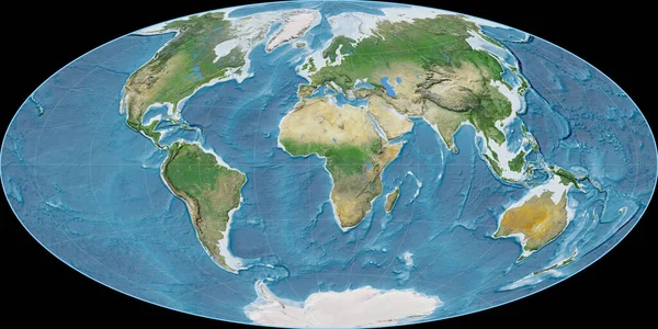
World map in the Natural Earth projection centered on 11 East longitude. Satellite imagery A - composite of raster with graticule and tectonic plates borders. 3D illustration
World Map Natural Earth Projection Centered East Longitude Satellite Imagery — Stock Photo, Image
World map in the Hufnagel projection centered on 90 West longitude. Main physiographic landscape features - composite of raster with graticule and tectonic plates borders. 3D illustration
World Map Hufnagel Projection Centered West Longitude Main Physiographic Landscape — Stock Photo, Image
World map in the Hatano projection centered on 170 West longitude. Topographic relief map - raw composite of raster with graticule. 3D illustration
World Map Hatano Projection Centered 170 West Longitude Topographic Relief — Stock Photo, Image
World map in the Kavraisky VII projection centered on 90 West longitude. Main physiographic landscape features - composite of raster with graticule and tectonic plates borders. 3D illustration
World Map Kavraisky Vii Projection Centered West Longitude Main Physiographic — Stock Photo, Image

Usage Information

You can use this royalty-free photo "World map in the Gott Equal-Area projection centered on 90 East longitude. Main physiographic landscape features - composite of raster with graticule and tectonic plates borders. 3D illustration" for personal and commercial purposes according to the Standard or Extended License. The Standard License covers most use cases, including advertising, UI designs, and product packaging, and allows up to 500,000 print copies. The Extended License permits all use cases under the Standard License with unlimited print rights and allows you to use the downloaded stock images for merchandise, product resale, or free distribution.

You can buy this stock photo and download it in high resolution up to 4000x2000. Upload Date: Jun 20, 2020