Acasia Stock Photos

100,000 Acasia pictures are available under a royalty-free license

  • Best Match
  • Fresh
  • Popular
1-100 of 100,000
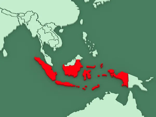
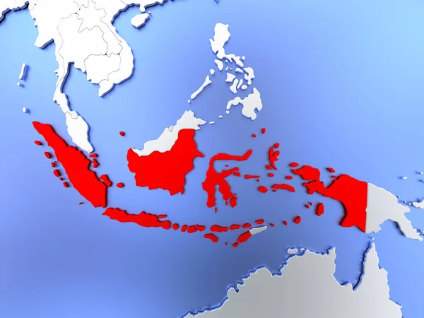
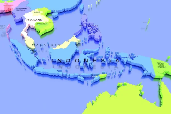
Map of worlds. Indonesia.
Map of worlds. Indonesia. — Stock Photo, Image
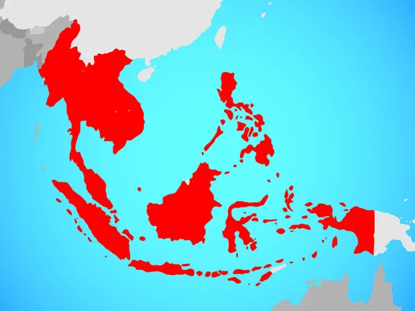
ASEAN memeber states on blue political globe. 3D illustration.
Asean Memeber States Blue Political Globe Illustration — Stock Photo, Image
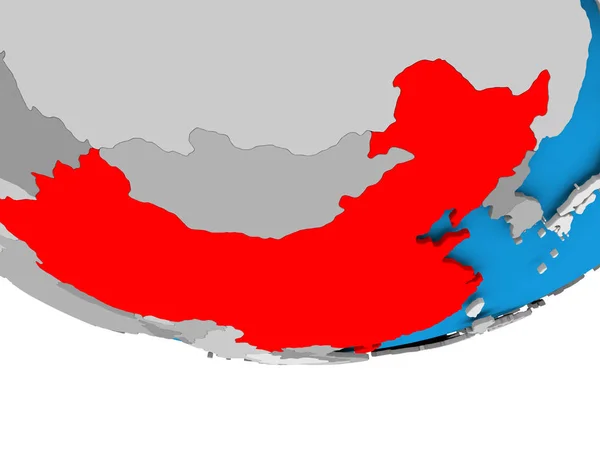
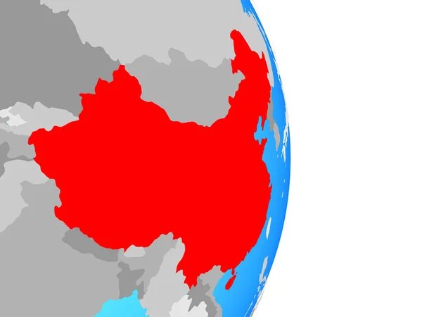
China on globe
China on globe — Stock Photo, Image
Cambodia on simple globe. 3D illustration.
Cambodia Simple Globe Illustration — Stock Photo, Image
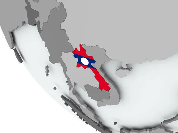
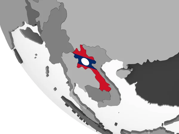
Flag of Laos on political globe
Flag of Laos on political globe — Stock Photo, Image
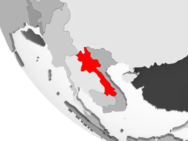
Laos in red on simple grey political globe with visible country borders and transparent oceans. 3D illustration.
Laos Red Simple Grey Political Globe Visible Country Borders Transparent — Stock Photo, Image
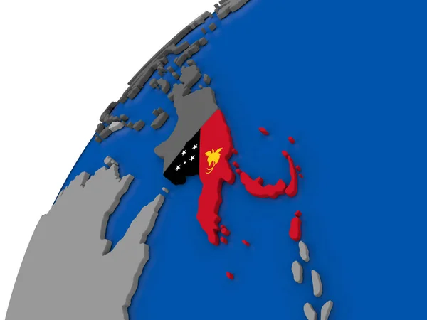
Papua New Guinea with flag on political globe
Papua New Guinea with flag on political globe — Stock Photo, Image
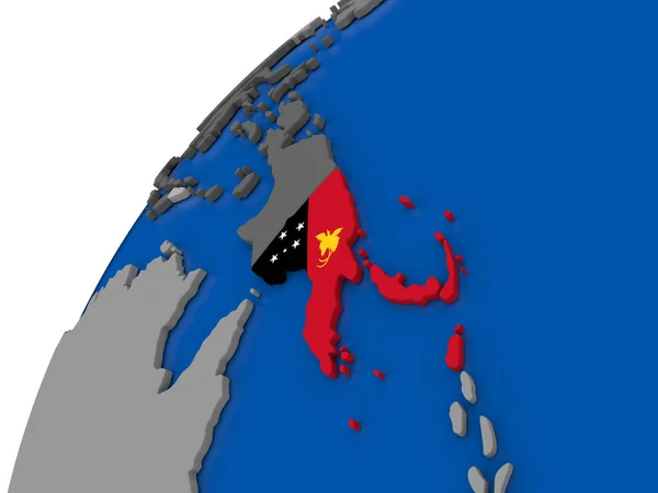
Papua New Guinea with flag on political globe
Papua New Guinea with flag on political globe — Stock Photo, Image
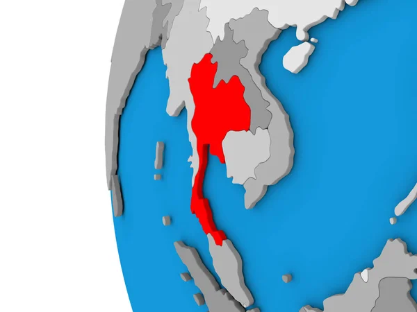
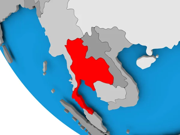
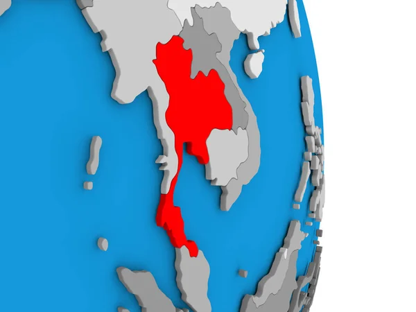
Thailand on planet Earth with country borders and highly detailed planet surface. 3D illustration. Elements of this image furnished by NASA.
Thailand Planet Earth Country Borders Highly Detailed Planet Surface Illustration — Stock Photo, Image
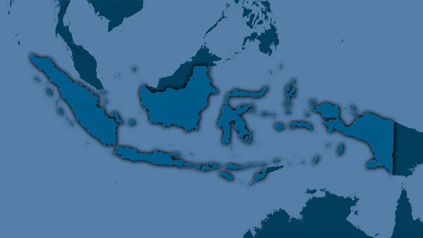
Indonesia area on the solid map in the stereographic projection - raw composition of raster layers with dark glowing outline
Indonesia Area Solid Map Stereographic Projection Raw Composition Raster Layers — Stock Photo, Image
Map of Cambodia in red on political globe with transparent oceans. 3D illustration.
Map Cambodia Red Political Globe Transparent Oceans Illustration — Stock Photo, Image
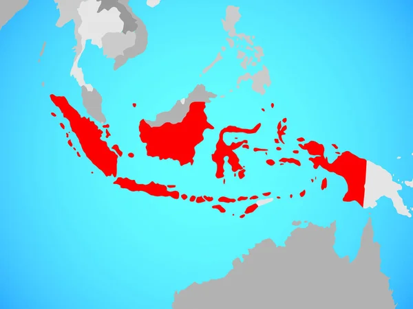
Indonesia in red on map
Indonesia in red on map — Stock Photo, Image
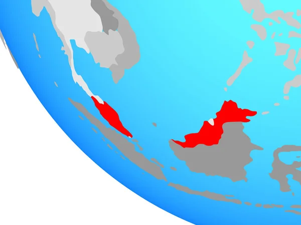
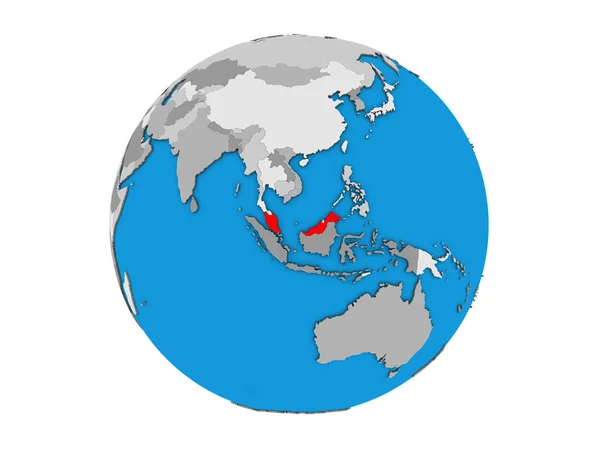
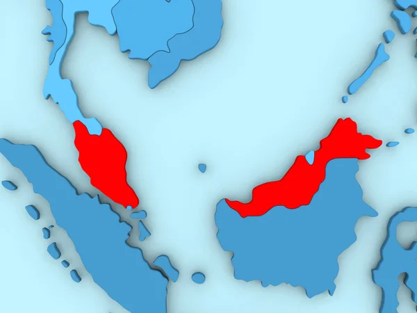
Malaysia on simple globe. 3D illustration.
Malaysia Simple Globe Illustration — Stock Photo, Image
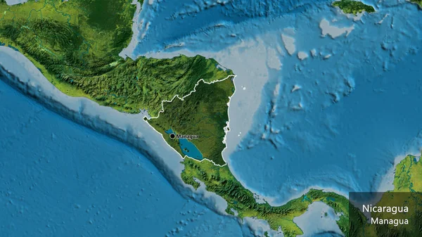
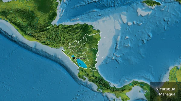
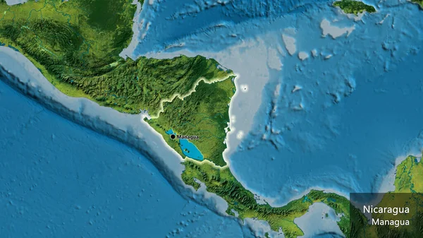
Close-up of the Nicaragua border area highlighting with a dark overlay on a topographic map. Capital point. Outline around the country shape. English name of the country and its capital
Close Nicaragua Border Area Highlighting Dark Overlay Topographic Map Capital — Stock Photo, Image
South East Asia on blue political globe. 3D illustration.
South East Asia Blue Political Globe Illustration — Stock Photo, Image
Malaysia on globe
Malaysia on globe — Stock Photo, Image
Close-up of the Nicaragua border area and its regional borders on a topographic map. Capital point. Outline around the country shape. English name of the country and its capital
Close Nicaragua Border Area Its Regional Borders Topographic Map Capital — Stock Photo, Image
Laos with its flag
Laos with its flag — Stock Photo, Image
Indonesia on blue political globe. 3D illustration.
Indonesia Blue Political Globe Illustration — Stock Photo, Image
China in red on simple grey political globe with visible country borders and transparent oceans. 3D illustration.
China Red Simple Grey Political Globe Visible Country Borders Transparent — Stock Photo, Image
Flag of Laos on political globe
Flag of Laos on political globe — Stock Photo, Image
Flag of Laos on political globe
Flag of Laos on political globe — Stock Photo, Image
Flag of Laos on political globe
Flag of Laos on political globe — Stock Photo, Image
Map of Asia with a selected country of SouthKorea
Map of Asia with a selected country of SouthKorea — Stock Photo, Image
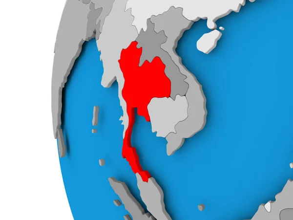
Thailand on globe
Thailand on globe — Stock Photo, Image
Laos on gray political globe with embedded flag. 3D illustration.
Laos Gray Political Globe Embedded Flag Illustration — Stock Photo, Image
North Korea on globe isolated
North Korea on globe isolated — Stock Photo, Image
Papua. Close-up perspective of the country - no outline. shapes only - land/ocean mask
Papua Close Perspective Country Outline Shapes Only Land Ocean Mask — Stock Photo, Image
Indonesia sport style flag ribbon classic style
Indonesia sport style flag ribbon classic style — Stock Photo, Image
Cityscape view, duotone concept background
Cityscape View Duotone Concept Background — Stock Photo, Image
Shoreline of areas adjacent to the Banda Sea tectonic plate. Van der Grinten I projection (oblique transformation)
Shoreline Areas Adjacent Banda Sea Tectonic Plate Van Der Grinten — Stock Photo, Image
Indonesia on globe
Indonesia on globe — Stock Photo, Image
Indochina on simple globe. 3D illustration.
Indochina Simple Globe Illustration — Stock Photo, Image
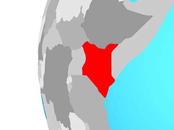
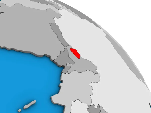
Kenya on blue political globe. 3D illustration.
Kenya Blue Political Globe Illustration — Stock Photo, Image
Taiwan with national flag on simple political globe. 3D illustration.
Taiwan National Flag Simple Political Globe Illustration — Stock Photo, Image
Taiwan with national flag on simple political globe. 3D illustration.
Taiwan National Flag Simple Political Globe Illustration — Stock Photo, Image
Taiwan with national flag on simple political globe. 3D illustration.
Taiwan National Flag Simple Political Globe Illustration — Stock Photo, Image
Lands and oceans within areas adjacent to the Manus tectonic plate. Van der Grinten I projection (oblique transformation)
Lands Oceans Areas Adjacent Manus Tectonic Plate Van Der Grinten — Stock Photo, Image
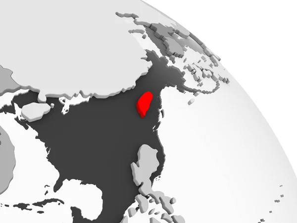
3D render of Taiwan in red on grey political globe with transparent oceans. 3D illustration.
Render Taiwan Red Grey Political Globe Transparent Oceans Illustration — Stock Photo, Image
Cambodia on globe
Cambodia on globe — Stock Photo, Image
Indonesia area on the solid map in the stereographic projection - raw composition of raster layers with light glowing outline
Indonesia Area Solid Map Stereographic Projection Raw Composition Raster Layers — Stock Photo, Image
Laos on simple political 3D globe. 3D illustration.
Laos Simple Political Globe Illustration — Stock Photo, Image
Shape of Assam, state of India, and its capital. Distance scale, previews and labels. Colored elevation map. 3D rendering
Shape Assam State India Its Capital Distance Scale Previews Labels — Stock Photo, Image
Illustration of Laos on political globe with embedded flag. 3D illustration.
Illustration Laos Political Globe Embedded Flag Illustration — Stock Photo, Image
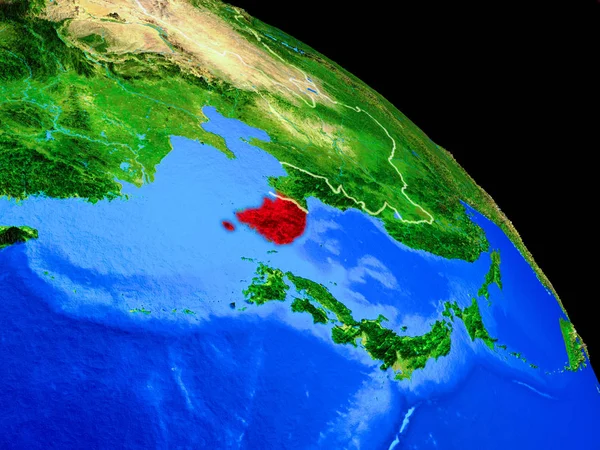
Lands and oceans within areas adjacent to the Birds Head tectonic plate. Van der Grinten I projection (oblique transformation)
Lands Oceans Areas Adjacent Birds Head Tectonic Plate Van Der — Stock Photo, Image
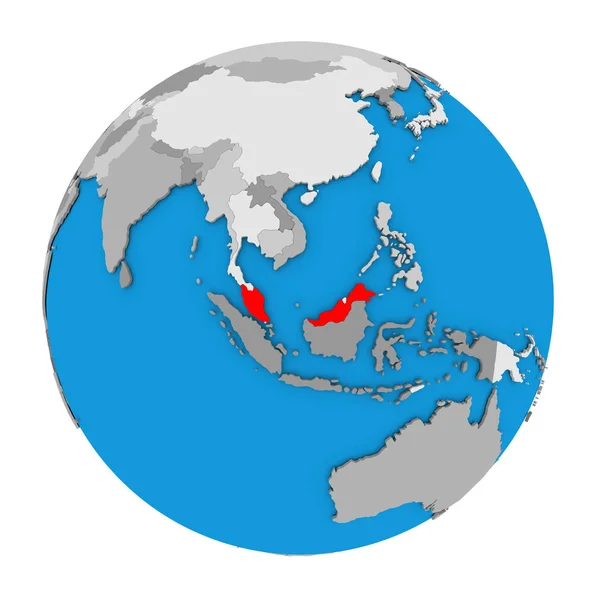
Malaysia on blue political 3D globe. 3D illustration isolated on white background.
Malaysia Blue Political Globe Illustration Isolated White Background — Stock Photo, Image
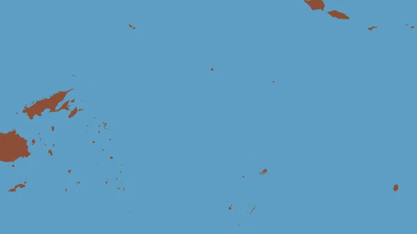
Pattern map of the area around the Niuafoou tectonic plate. 3D rendering
Pattern Map Area Niuafoou Tectonic Plate Rendering — Stock Photo, Image
Indonesia map
Indonesia map — Stock Photo, Image
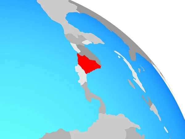
Nicaragua on simple blue political globe. 3D illustration.
Nicaragua Simple Blue Political Globe Illustration — Stock Photo, Image
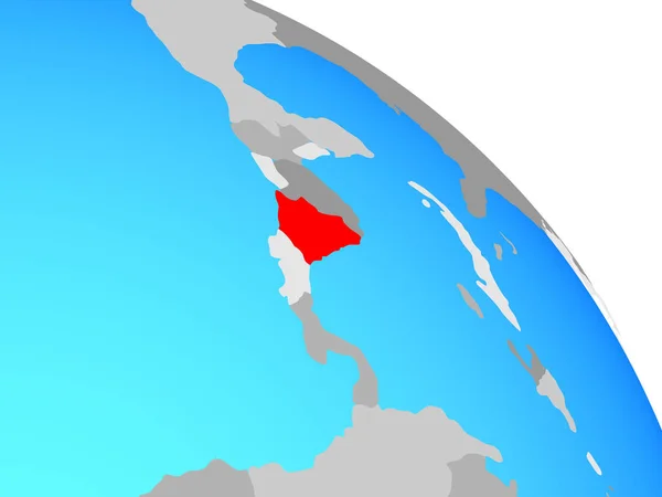
Nicaragua on simple blue political globe. 3D illustration.
Nicaragua Simple Blue Political Globe Illustration — Stock Photo, Image
Nicaragua on simple blue political globe. 3D illustration.
Nicaragua Simple Blue Political Globe Illustration — Stock Photo, Image
Lands and oceans within areas adjacent to the Okhotsk tectonic plate. Van der Grinten I projection (oblique transformation)
Lands Oceans Areas Adjacent Okhotsk Tectonic Plate Van Der Grinten — Stock Photo, Image
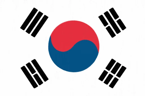
South Korea flag drawing by pastel on charcoal paper
South Korea flag drawing by pastel on charcoal paper — Stock Photo, Image
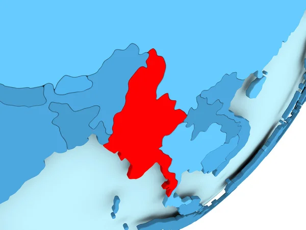
Map of Myanmar on blue political globe
Map of Myanmar on blue political globe — Stock Photo, Image
World map or map of the world
World Map Map World — Stock Photo, Image
Map of Laos in red on political globe with transparent oceans. 3D illustration.
Map Laos Red Political Globe Transparent Oceans Illustration — Stock Photo, Image
Bhutan on simple blue political 3D globe. 3D illustration.
Bhutan Simple Blue Political Globe Illustration — Stock Photo, Image
South Korea on planet Earth from space with country borders. Very fine detail of planet surface. 3D illustration. Elements of this image furnished by NASA.
South Korea Planet Earth Space Country Borders Very Fine Detail — Stock Photo, Image
Close-up of the Nicaragua border area on a topographic map. Capital point. Glow around the country shape. English name of the country and its capital
Close Nicaragua Border Area Topographic Map Capital Point Glow Country — Stock Photo, Image
Thailand on political globe
Thailand on political globe — Stock Photo, Image
Indonesia area on the administrative divisions map in the stereographic projection - raw composition of raster layers with light glowing outline
Indonesia Area Administrative Divisions Map Stereographic Projection Raw Composition Raster — Stock Photo, Image
Indonesia area on the administrative divisions map in the stereographic projection - raw composition of raster layers with dark glowing outline
Indonesia Area Administrative Divisions Map Stereographic Projection Raw Composition Raster — Stock Photo, Image
Indochina on simple political 3D globe. 3D illustration.
Indochina Simple Political Globe Illustration — Stock Photo, Image
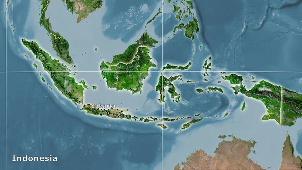
Indonesia area on the satellite C map in the stereographic projection - main composition
Indonesia Area Satellite Map Stereographic Projection Main Composition — Stock Photo, Image
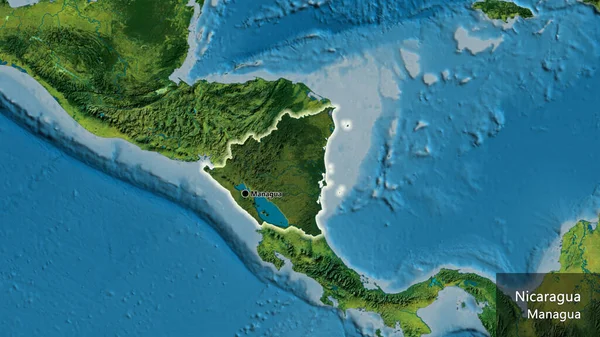
Close-up of the Nicaragua border area highlighting with a dark overlay on a topographic map. Capital point. Glow around the country shape. English name of the country and its capital
Close Nicaragua Border Area Highlighting Dark Overlay Topographic Map Capital — Stock Photo, Image
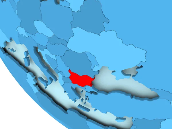
Bulgaria on blue political globe
Bulgaria on blue political globe — Stock Photo, Image
Flag of Indonesia
Flag of Indonesia — Stock Photo, Image
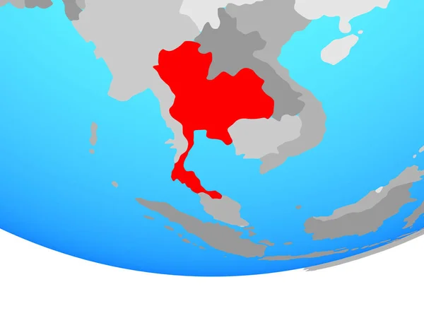
Thailand on simple political globe. 3D illustration.
Thailand Simple Political Globe Illustration — Stock Photo, Image
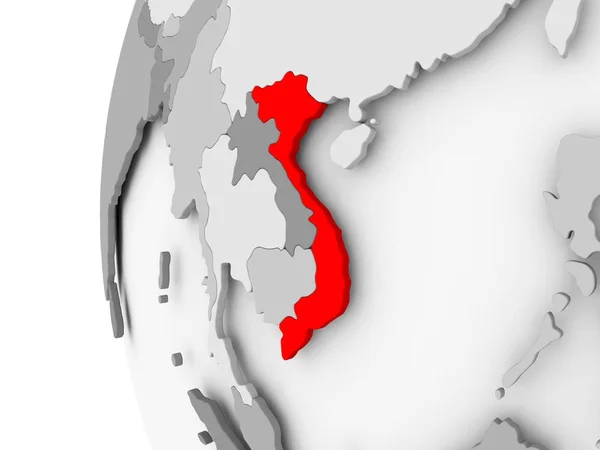
Vietnam on grey globe
Vietnam on grey globe — Stock Photo, Image
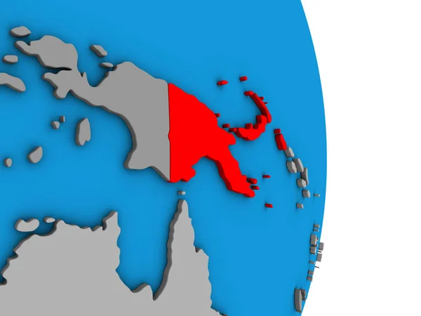
Papua New Guinea on simple political 3D globe. 3D illustration.
Papua New Guinea Simple Political Globe Illustration — Stock Photo, Image
Laos on elegant globe
Laos on elegant globe — Stock Photo, Image
Japan in red on grey political globe with transparent oceans. 3D illustration.
Japan Red Grey Political Globe Transparent Oceans Illustration — Stock Photo, Image
Taiwan on globe
Taiwan on globe — Stock Photo, Image
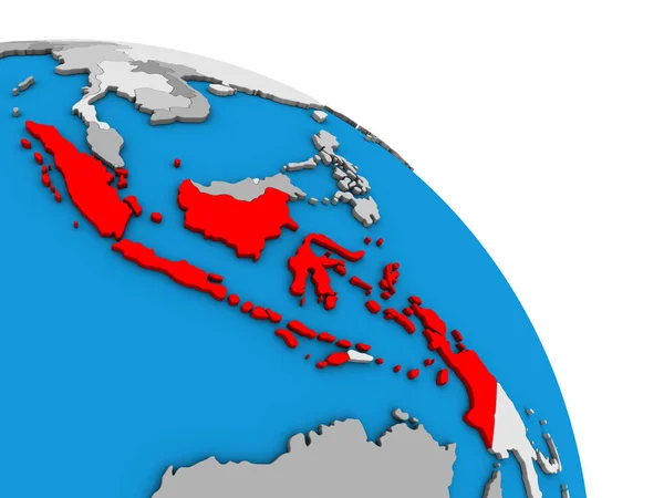
Indonesia on simple blue political 3D globe. 3D illustration.
Indonesia Simple Blue Political Globe Illustration — Stock Photo, Image
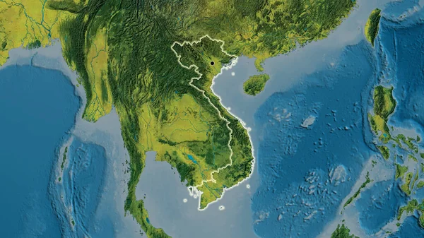
Close-up of the Vietnam border area on a topographic map. Capital point. Glow around the country shape.
Close Vietnam Border Area Topographic Map Capital Point Glow Country — Stock Photo, Image
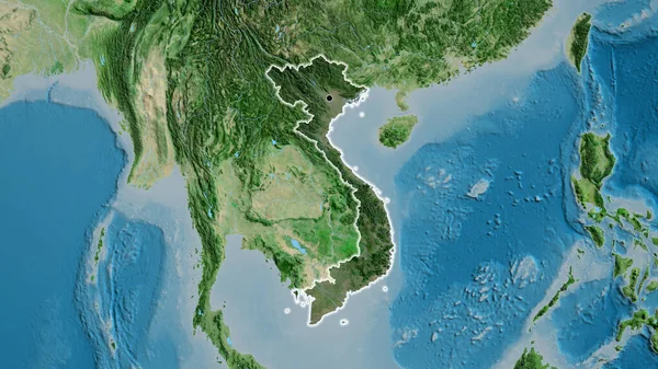
Close-up of the Vietnam border area highlighting with a dark overlay on a satellite map. Capital point. Glow around the country shape.
Close Vietnam Border Area Highlighting Dark Overlay Satellite Map Capital — Stock Photo, Image
Laos on simple 3D globe. 3D illustration.
Laos Simple Globe Illustration — Stock Photo, Image
Bhutan on simple blue political globe. 3D illustration.
Bhutan Simple Blue Political Globe Illustration — Stock Photo, Image
Three dimensional rendered map of Indiaonesia with country names
Three Dimensional Rendered Map Indiaonesia Country Names — Stock Photo, Image
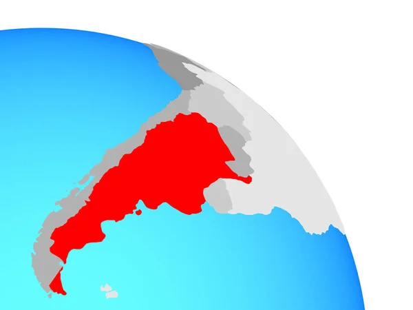
Argentina on simple blue political globe. 3D illustration.
Argentina Simple Blue Political Globe Illustration — Stock Photo, Image
Papua New Guinea area on the administrative divisions map in the stereographic projection - raw composition of raster layers with dark glowing outline
Papua New Guinea Area Administrative Divisions Map Stereographic Projection Raw — Stock Photo, Image
Lands and oceans within areas adjacent to the Burma tectonic plate. Van der Grinten I projection (oblique transformation)
Lands Oceans Areas Adjacent Burma Tectonic Plate Van Der Grinten — Stock Photo, Image
Vietnam on grey globe
Vietnam on grey globe — Stock Photo, Image
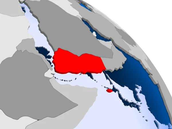
Illustration of Yemen highlighted in red on globe with transparent oceans. 3D illustration.
Illustration Yemen Highlighted Red Globe Transparent Oceans Illustration — Stock Photo, Image
Thailand on globe
Thailand on globe — Stock Photo, Image
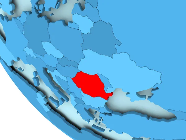
Romania on blue political globe
Romania on blue political globe — Stock Photo, Image
Ethiopia on globe. 3D illustration.
Ethiopia Globe Illustration — Stock Photo, Image
Malaysia on 3D map
Malaysia on 3D map — Stock Photo, Image
Illustration of a colourfully filled outline of Indonesia
Illustration of a colourfully filled outline of Indonesia — Stock Photo, Image
Map of Thailand on political globe
Map of Thailand on political globe — Stock Photo, Image
China on simple political globe. 3D illustration.
China Simple Political Globe Illustration — Stock Photo, Image
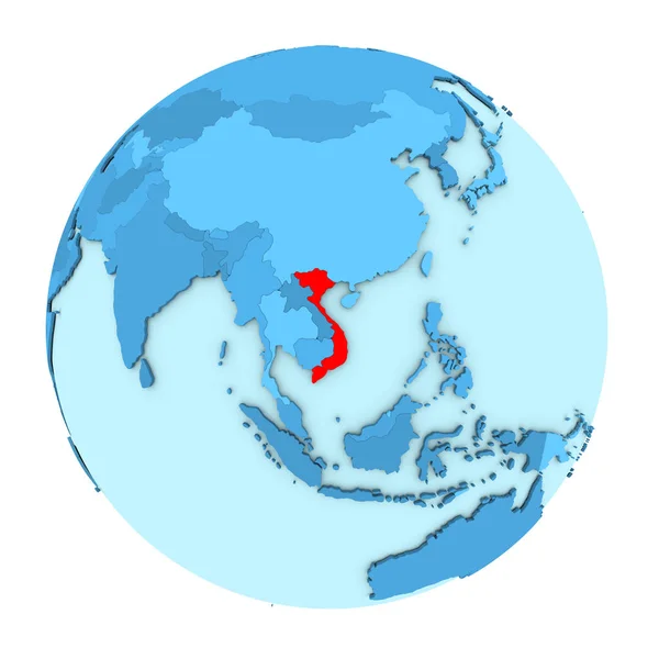
Vietnam on globe isolated
Vietnam on globe isolated — Stock Photo, Image
Cambodia on blue political globe. 3D illustration isolated on white background.
Cambodia Blue Political Globe Illustration Isolated White Background — Stock Photo, Image
South Asia on globe. 3D illustration.
South Asia Globe Illustration — Stock Photo, Image
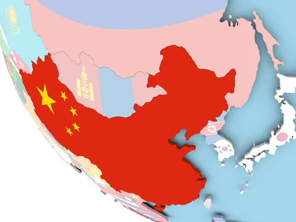
China with flag on globe
China with flag on globe — Stock Photo, Image
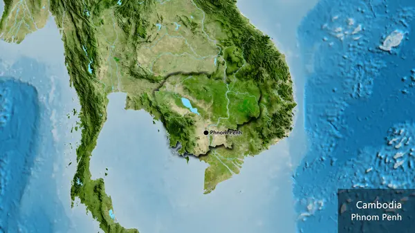
Close-up of the Cambodia border area on a satellite map. Capital point. Bevelled edges of the country shape. English name of the country and its capital
Close Cambodia Border Area Satellite Map Capital Point Bevelled Edges — Stock Photo, Image
Waving Indonesia Flag
Waving Indonesia Flag — Stock Photo, Image
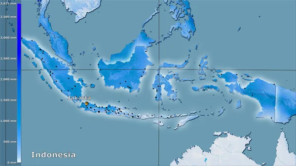
Precipitation of coldest quarter within the Indonesia area in the stereographic projection with legend - main composition
Precipitation Coldest Quarter Indonesia Area Stereographic Projection Legend Main Composition — Stock Photo, Image
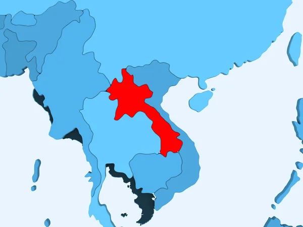
Laos in red on blue political map with transparent oceans. 3D illustration.
Laos Red Blue Political Map Transparent Oceans Illustration — Stock Photo, Image
El Salvador on blue political globe. 3D illustration.
Salvador Blue Political Globe Illustration — Stock Photo, Image

Related image searches

Discover the Best Acasia Images for Your Projects

When it comes to finding the perfect images for your creative projects, our stock image site offers a vast selection of acasia images that will meet your needs. These images are perfect for a wide range of projects, from nature documentaries to social media graphics, and everything in between. Our acasia images are available in a variety of formats, including JPG, AI, and EPS. Read on to learn more about our collection of acasia images and how they can benefit your creative projects.

A Stunning Variety of Acasia Images

Our stock image library boasts a plethora of stunning acasia images to choose from. We have close-up shots of acasia leaves, bark, and branches, as well as wide-angle shots of entire acasia trees and forests. Our photographers have captured acasia images in different lighting conditions, seasons, and locations, so you're sure to find the perfect image for your project. Whether you need a bright and vibrant acasia image for a springtime promotion or a more muted autumnal acasia image, we've got you covered.

Our acasia images are also available in different styles and compositions. You can find abstract acasia images that play with light and shadow, as well as more traditional and realistic images. Some of our acasia images feature wildlife such as birds and insects, which can add a natural and dynamic touch to your project. Our team of seasoned photographers carefully curates and edits our acasia images to ensure they are top quality and visually appealing.

Use Acasia Images to Enhance Your Creative Projects

Acasia images can enhance a variety of creative projects, including websites, social media posts, presentations, and marketing materials. If you're working on a website or online platform, a high-quality acasia image can add a calming and natural touch to the user interface. Using acasia images in social media posts can help your content stand out and grab the viewer's attention. An acasia image can also serve as the perfect background for your presentations, whether you're giving a talk about the environment or showcasing your company's values.

When using acasia images, be sure to choose the right format for your needs. For web-related projects, JPG images are typically the best choice, as they offer a good balance of quality and file size. If you need to resize or edit the image, go for EPS or AI instead, as they are vector-based formats that can be scaled up or down without losing quality. Whatever your project may be, we have the acasia images to elevate your visuals and make them truly memorable.

Acasia Images at Your Fingertips

Our stock image site makes it easy to find and download the perfect acasia image for your project. You can browse our collection by keyword, category, or even color to narrow down your search. Once you find the image you need, simply add it to your cart and purchase it. We offer affordable pricing and flexible subscription options to fit your budget and usage needs. Our images are royalty-free, meaning you can use them in commercial and non-commercial projects without any additional fees.

Whether you're a professional graphic designer or a small business owner, our acasia images are a valuable resource to have in your creative toolkit. With our diverse selection of acasia images and easy-to-use platform, you can save time and energy on your visual projects and make a lasting impression on your audience. Start browsing our acasia images today and see the difference they can make for your creative projects!