Angola city Stock Photos

100,000 Angola city pictures are available under a royalty-free license

  • Best Match
  • Fresh
  • Popular
1-100 of 100,000
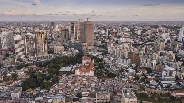
Aerial photograph of the marginal of Luanda, Angola. Africa.Difference between new and old buildings.
Aerial Photograph Marginal Luanda Angola Africa Difference New Old Buildings — Stock Photo, Image
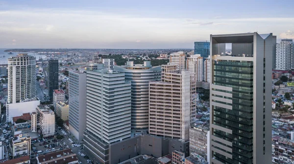
Aerial photograph of the marginal of Luanda, Angola. Africa.Difference between new and old buildings.
Aerial Photograph Marginal Luanda Angola Africa Difference New Old Buildings — Stock Photo, Image
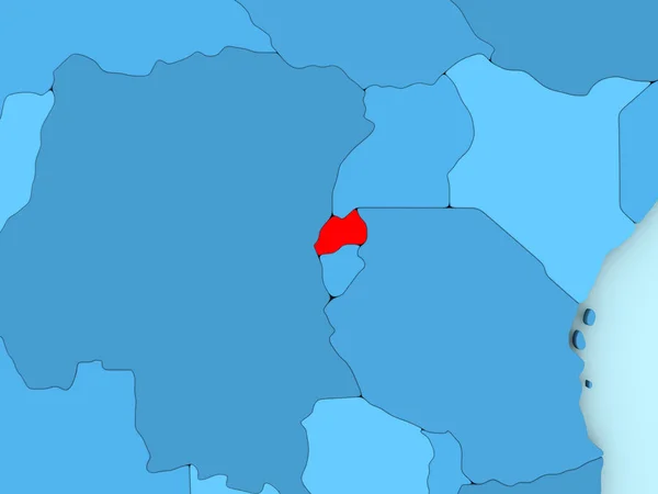
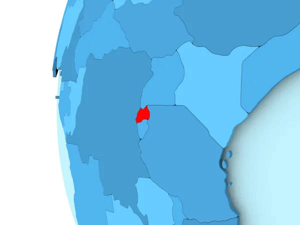
Rwanda on 3D map
Rwanda on 3D map — Stock Photo, Image
Shape of Brakna, region of Mauritania, and its capital. Distance scale, previews and labels. Topographic relief map. 3D rendering
Shape Brakna Region Mauritania Its Capital Distance Scale Previews Labels — Stock Photo, Image
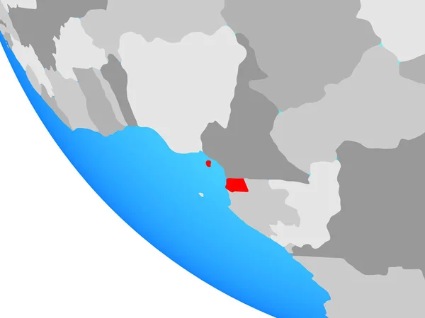
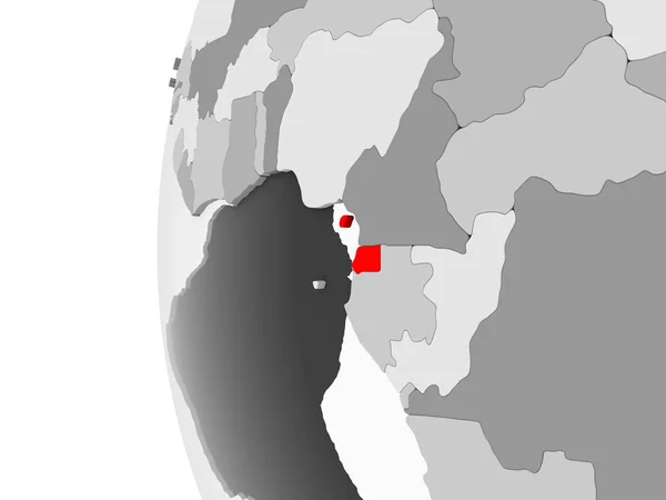
Equatorial Guinea on simple globe. 3D illustration.
Equatorial Guinea Simple Globe Illustration — Stock Photo, Image
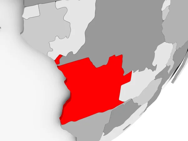
Angola in red on grey map
Angola in red on grey map — Stock Photo, Image
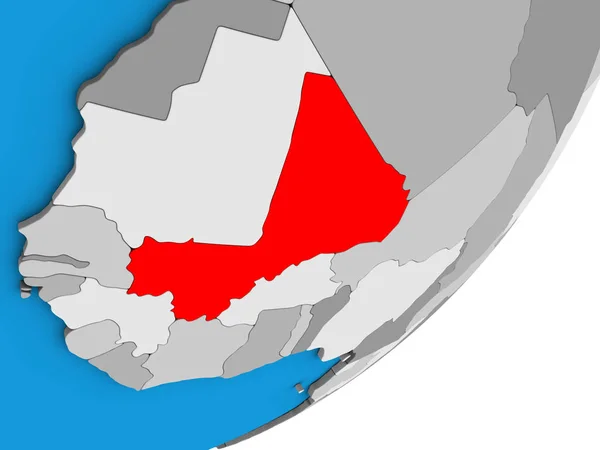
Mali on blue political 3D globe. 3D illustration.
Mali Blue Political Globe Illustration — Stock Photo, Image
Mali on blue political 3D globe. 3D illustration.
Mali Blue Political Globe Illustration — Stock Photo, Image
Map of el salvador
Map of el salvador — Stock Photo, Image
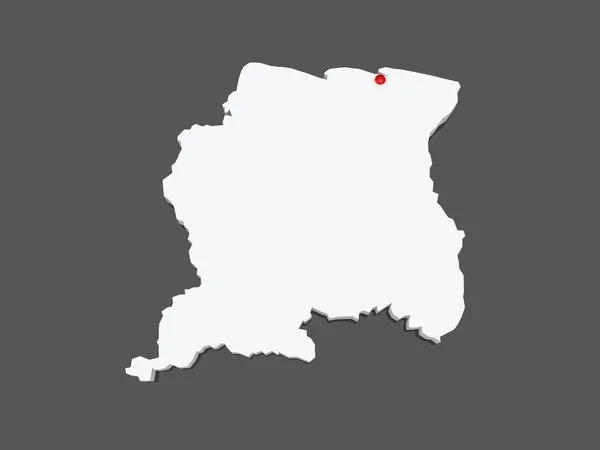
Map of Suriname.
Map of Suriname. — Stock Photo, Image
Shape of Sokoto, state of Nigeria, with its capital isolated on white background. Bilevel elevation map. 3D rendering
Shape Sokoto State Nigeria Its Capital Isolated White Background Bilevel — Stock Photo, Image
Shape of Kayseri, province of Turkey, with its capital isolated on a solid color background. Composition of patterned textures. 3D rendering
Shape Kayseri Province Turkey Its Capital Isolated Solid Color Background — Stock Photo, Image
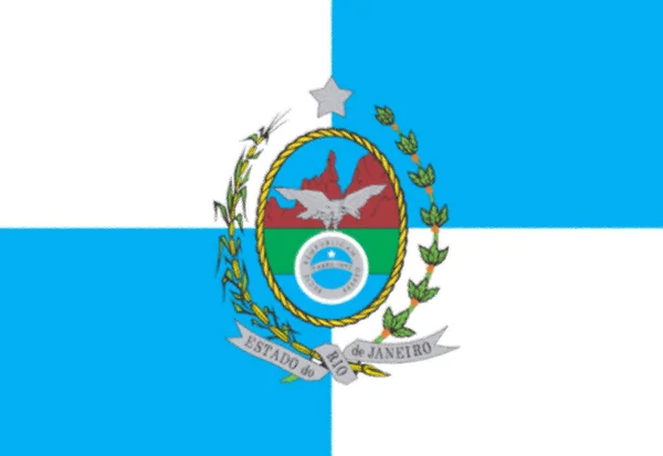
Flag of Rio de Janeiro's State, Brazil
Flag Rio Janeiro State Brazil — Stock Photo, Image
Map of Rwanda on political globe
Map of Rwanda on political globe — Stock Photo, Image
Rwanda highlighted on grey 3D model of political globe with transparent oceans. 3D illustration.
Rwanda Highlighted Grey Model Political Globe Transparent Oceans Illustration — Stock Photo, Image
Vector map Angola. Isolated vector Illustration. Black on White background. EPS 10 Illustration.
Vector Map Angola Isolated Vector Illustration Black White Background Eps — Stock Photo, Image
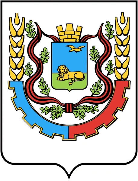
The coat of arms of the city of Belgorod in 1970
Coat Arms City Belgorod 1970 — Stock Photo, Image
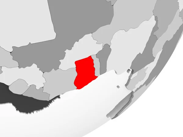
Illustration of Ghana highlighted in red on grey globe with transparent oceans. 3D illustration.
Illustration Ghana Highlighted Red Grey Globe Transparent Oceans Illustration — Stock Photo, Image
Map of Gabon on political globe
Map of Gabon on political globe — Stock Photo, Image
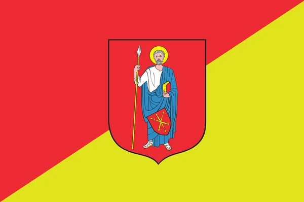
Flag of Zamosc city in southeastern Poland
Flag of Zamosc city in southeastern Poland — Stock Photo, Image
Flag of Magadan Oblast, Russia
Flag Magadan Oblast Russia — Stock Photo, Image
Flag of Magadan Oblast, Russia
Flag Magadan Oblast Russia — Stock Photo, Image
Map of Esmeraldas. Ecuador.
Map of Esmeraldas. Ecuador. — Stock Photo, Image
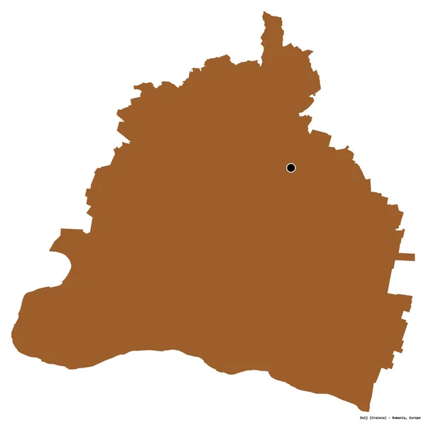
Shape of Dolj, county of Romania, with its capital isolated on white background. Composition of patterned textures. 3D rendering
Shape Dolj County Romania Its Capital Isolated White Background Composition — Stock Photo, Image
Equatorial Guinea highlighted on grey 3D model of political globe with transparent oceans. 3D illustration.
Equatorial Guinea Highlighted Grey Model Political Globe Transparent Oceans Illustration — Stock Photo, Image
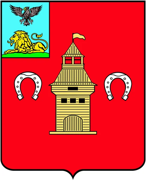
Coat of arms of the city Shebekino, Belgorod region
Coat of arms of the city Shebekino, Belgorod region — Stock Photo, Image
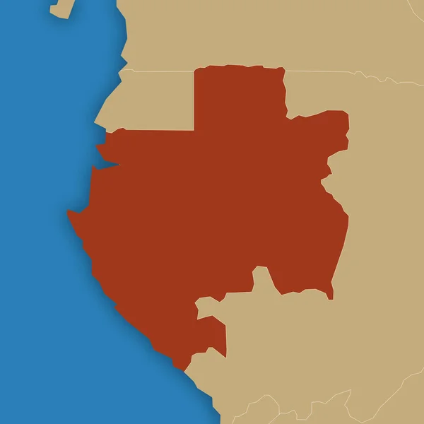
Map of Gabon
Map of Gabon — Stock Photo, Image
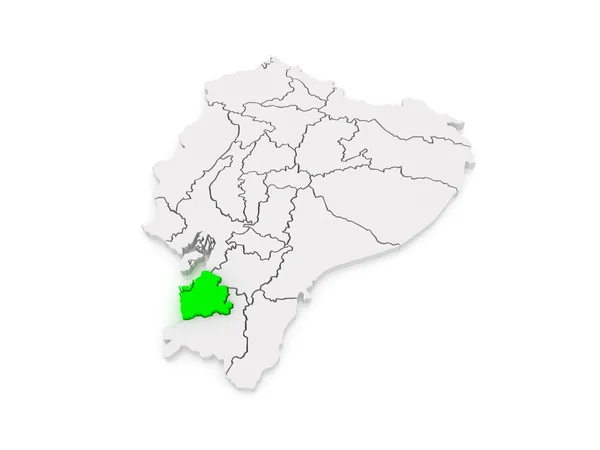
Map of El Oro. Ecuador.
Map of El Oro. Ecuador. — Stock Photo, Image
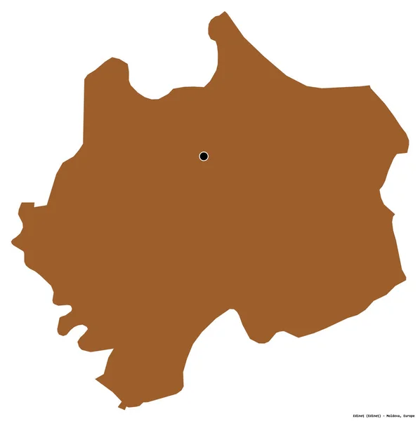
Shape of Edinet, district of Moldova, with its capital isolated on white background. Composition of patterned textures. 3D rendering
Shape Edinet District Moldova Its Capital Isolated White Background Composition — Stock Photo, Image
Burundi on 3D model of political globe with transparent oceans. 3D illustration.
Burundi Model Political Globe Transparent Oceans Illustration — Stock Photo, Image
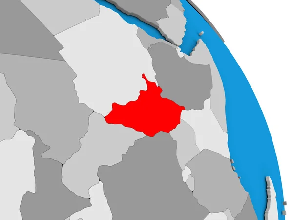
South Sudan in red on grey map
South Sudan in red on grey map — Stock Photo, Image
South Sudan in red on grey map
South Sudan in red on grey map — Stock Photo, Image
South Sudan on globe
South Sudan on globe — Stock Photo, Image
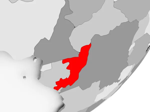
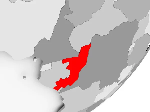
Congo in red on grey map
Congo in red on grey map — Stock Photo, Image
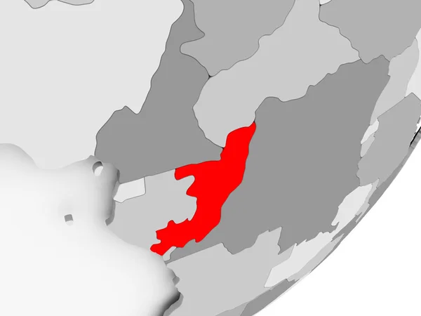
Congo in red on grey map
Congo in red on grey map — Stock Photo, Image
Congo in red on grey map
Congo in red on grey map — Stock Photo, Image
Congo in red on grey map
Congo in red on grey map — Stock Photo, Image
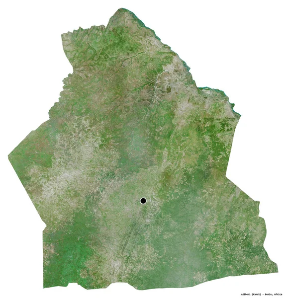
Shape of Alibori, department of Benin, with its capital isolated on white background. Satellite imagery. 3D rendering
Shape Alibori Department Benin Its Capital Isolated White Background Satellite — Stock Photo, Image
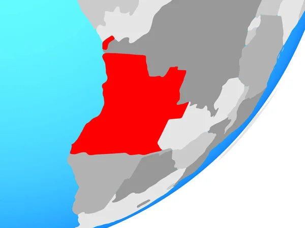
Angola on blue political globe. 3D illustration.
Angola Blue Political Globe Illustration — Stock Photo, Image
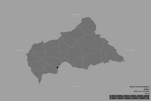
Area of Central African Republic isolated on a solid background in a georeferenced bounding box. Main regional division, distance scale, labels. Bilevel elevation map. 3D rendering
Area Central African Republic Isolated Solid Background Georeferenced Bounding Box — Stock Photo, Image
Map of Gambia
Map of Gambia — Stock Photo, Image
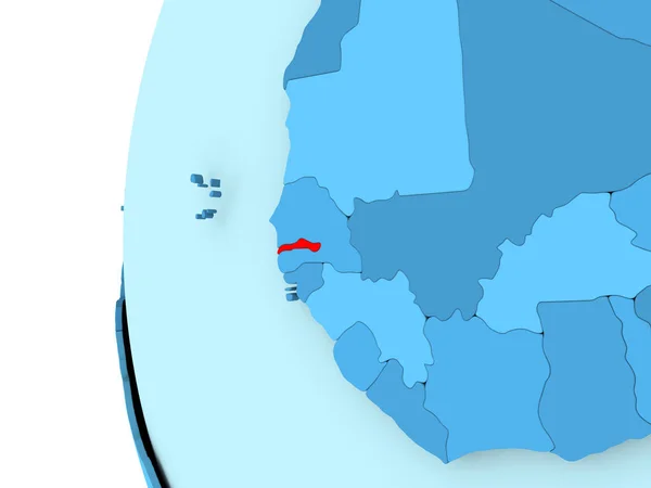
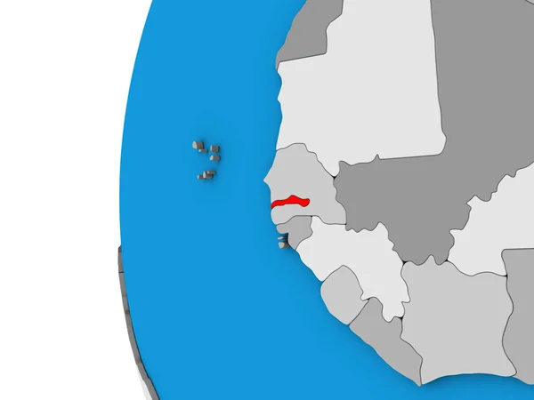
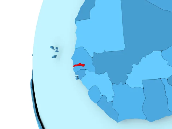
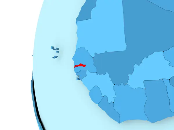
Gambia on blue political 3D globe. 3D illustration.
Gambia Blue Political Globe Illustration — Stock Photo, Image
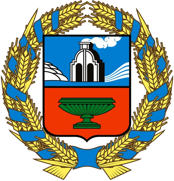
Coat of Arms of Altai Krai
Coat of Arms of Altai Krai — Stock Photo, Image
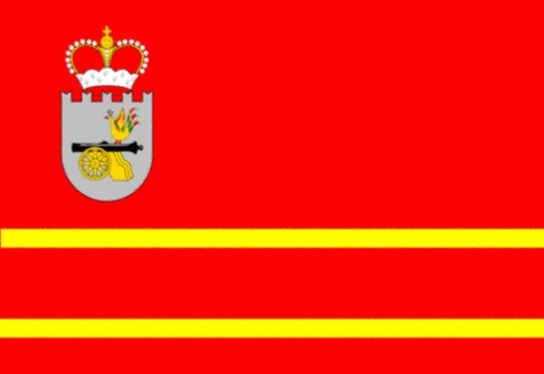
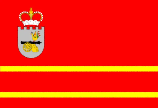
Flag of Smolensk oblast, Russia
Flag Smolensk Oblast Russia — Stock Photo, Image
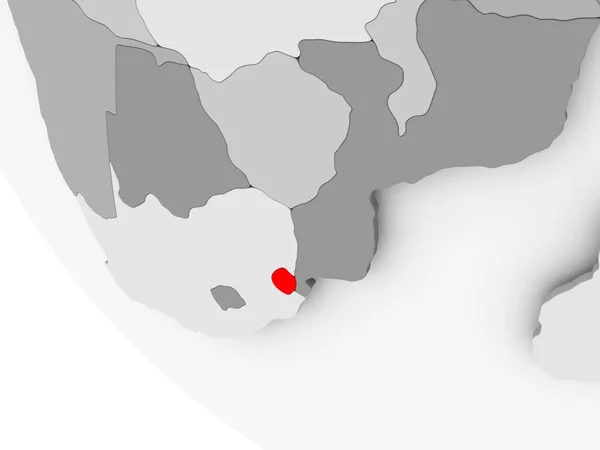
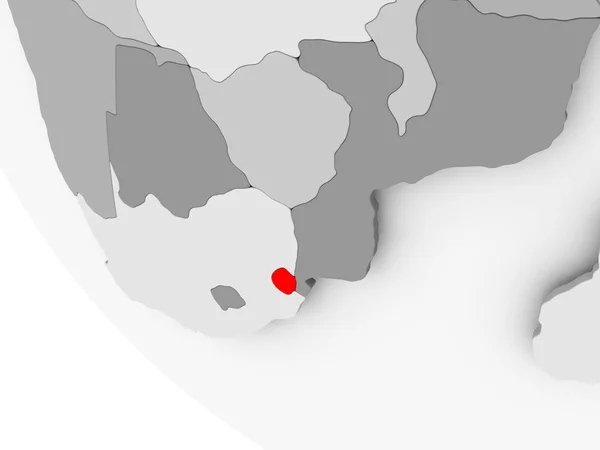
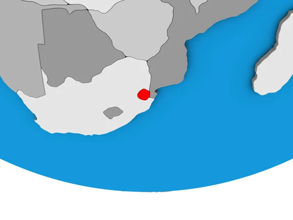
Map of Swaziland in red
Map of Swaziland in red — Stock Photo, Image
Map of Swaziland in red
Map of Swaziland in red — Stock Photo, Image
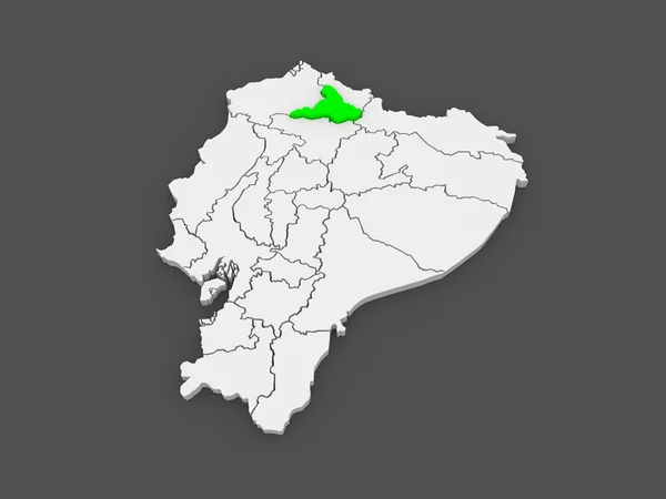
Map of Imbabura. Ecuador.
Map of Imbabura. Ecuador. — Stock Photo, Image
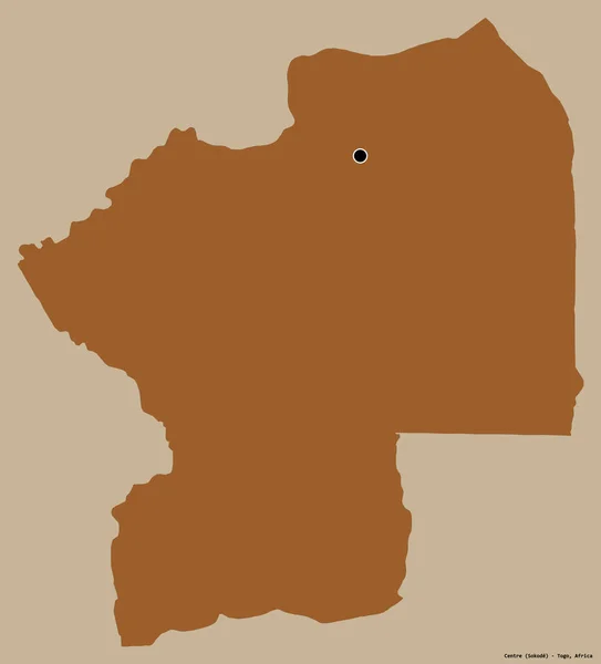
Shape of Centre, region of Togo, with its capital isolated on a solid color background. Composition of patterned textures. 3D rendering
Shape Centre Region Togo Its Capital Isolated Solid Color Background — Stock Photo, Image
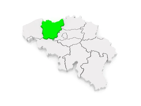
Map of East Flanders. Belgium.
Map of East Flanders. Belgium. — Stock Photo, Image
Coat of arms of the city of Balatonfred. Hungary
Coat Arms City Balatonfred Hungary — Stock Photo, Image
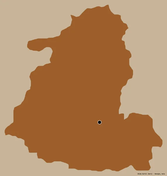
Shape of Shida Kartli, region of Georgia, with its capital isolated on a solid color background. Composition of patterned textures. 3D rendering
Shape Shida Kartli Region Georgia Its Capital Isolated Solid Color — Stock Photo, Image
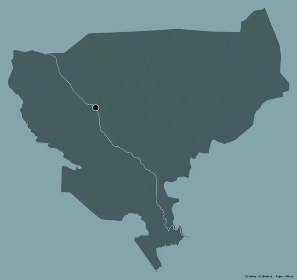
Shape of Tillabery, department of Niger, with its capital isolated on a solid color background. Colored elevation map. 3D rendering
Shape Tillabery Department Niger Its Capital Isolated Solid Color Background — Stock Photo, Image
Angola in red on grey map
Angola in red on grey map — Stock Photo, Image
Angola in red on grey map
Angola in red on grey map — Stock Photo, Image
Area of Central African Republic isolated on a solid background in a georeferenced bounding box. Main regional division, distance scale, labels. Colored elevation map. 3D rendering
Area Central African Republic Isolated Solid Background Georeferenced Bounding Box — Stock Photo, Image
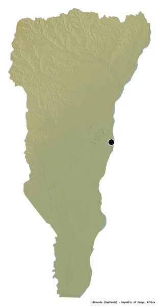
Shape of Likouala, region of Republic of Congo, with its capital isolated on white background. Topographic relief map. 3D rendering
Shape Likouala Region Republic Congo Its Capital Isolated White Background — Stock Photo, Image
Map of Democratic Republic of Congo
Map of Democratic Republic of Congo — Stock Photo, Image
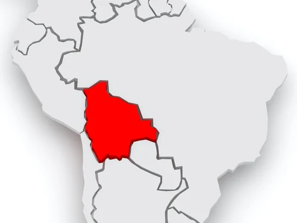
Map of worlds. Bolivia.
Map of worlds. Bolivia. — Stock Photo, Image
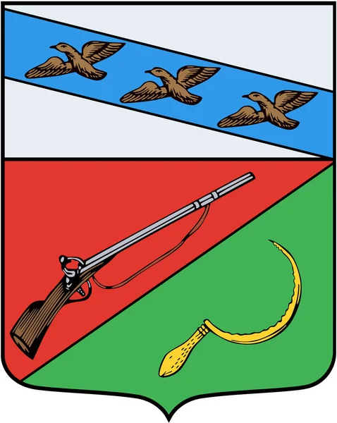
The coat of arms of Shchigry in 1780. Kursk Region
Coat Arms Shchigry 1780 Kursk Region — Stock Photo, Image
Map of Gambia
Map of Gambia — Stock Photo, Image
Map of Gambia
Map of Gambia — Stock Photo, Image
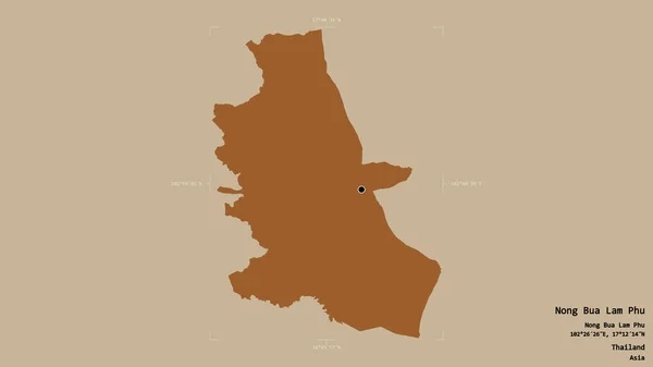
Area of Nong Bua Lam Phu, province of Thailand, isolated on a solid background in a georeferenced bounding box. Labels. Composition of patterned textures. 3D rendering
Area Nong Bua Lam Phu Province Thailand Isolated Solid Background — Stock Photo, Image
Flag of Lankaran, Azerbaijan
Flag of Lankaran, Azerbaijan — Stock Photo, Image
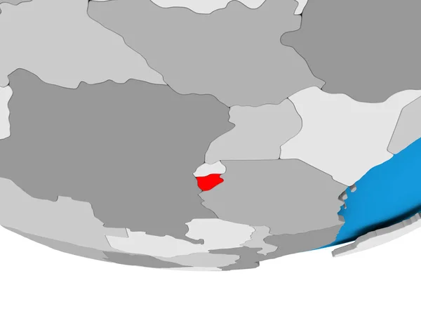
Burundi on globe
Burundi on globe — Stock Photo, Image
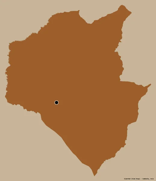
Shape of Siemreab, province of Cambodia, with its capital isolated on a solid color background. Composition of patterned textures. 3D rendering
Shape Siemreab Province Cambodia Its Capital Isolated Solid Color Background — Stock Photo, Image
Map of Ghana on grey political globe
Map of Ghana on grey political globe — Stock Photo, Image
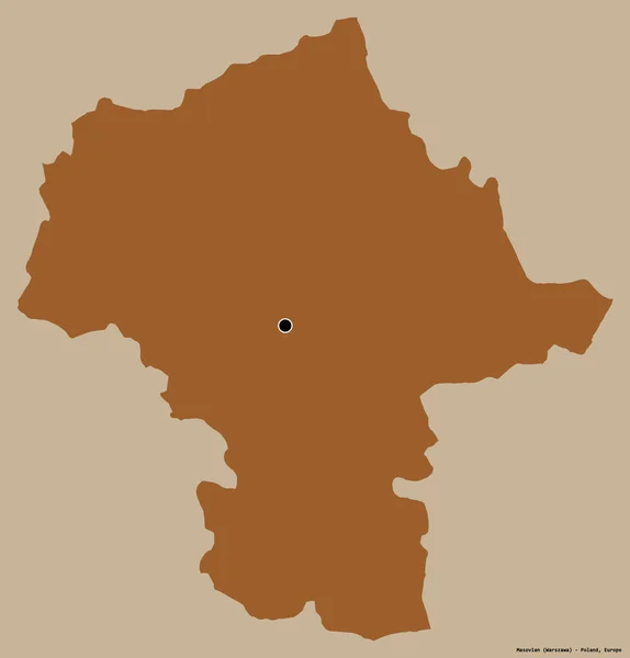
Shape of Masovian, voivodeship of Poland, with its capital isolated on a solid color background. Composition of patterned textures. 3D rendering
Shape Masovian Voivodeship Poland Its Capital Isolated Solid Color Background — Stock Photo, Image
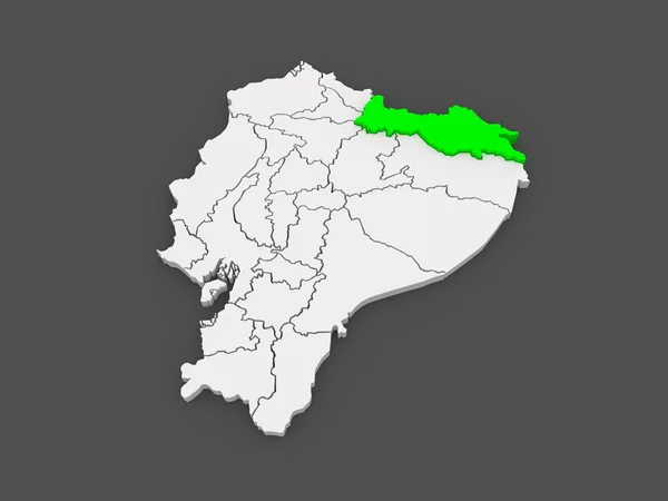
Map of Sucumbios. Ecuador.
Map of Sucumbios. Ecuador. — Stock Photo, Image
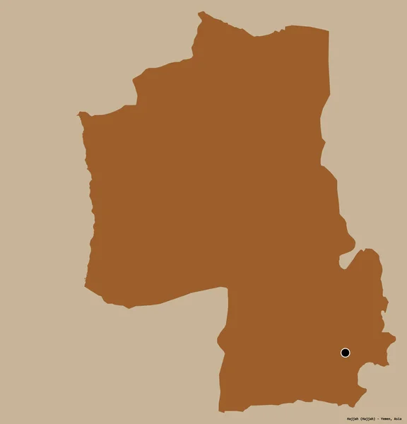
Shape of Hajjah, governorate of Yemen, with its capital isolated on a solid color background. Composition of patterned textures. 3D rendering
Shape Hajjah Governorate Yemen Its Capital Isolated Solid Color Background — Stock Photo, Image
National flag of Aruba
National flag of Aruba — Stock Photo, Image
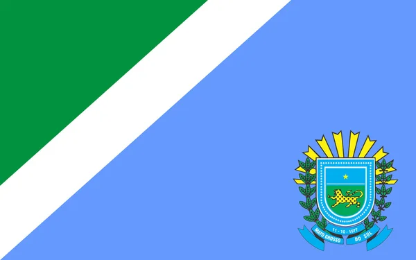
Flag of Mato Grosso do Sul, Brazil
Flag of Mato Grosso do Sul, Brazil — Stock Photo, Image
Flag of Santa Catarina, Brazil
Flag of Santa Catarina, Brazil — Stock Photo, Image
Democratic Republic of Congo on globe
Democratic Republic of Congo on globe — Stock Photo, Image
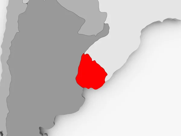
Map of Uruguay
Map of Uruguay — Stock Photo, Image
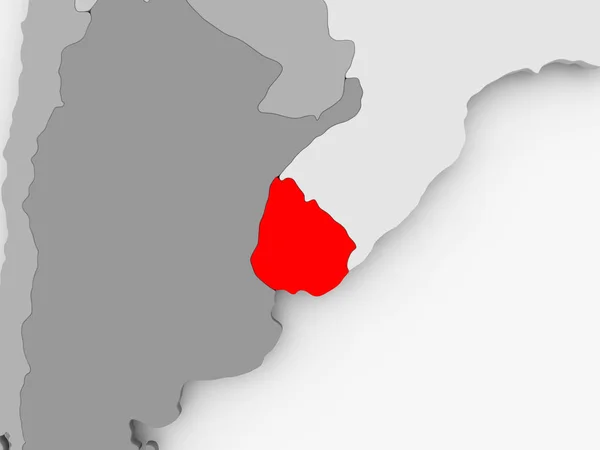
Map of Uruguay
Map of Uruguay — Stock Photo, Image
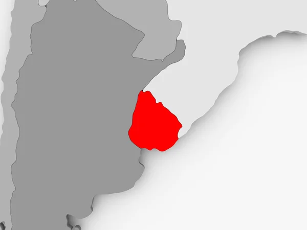
Map of Uruguay
Map of Uruguay — Stock Photo, Image
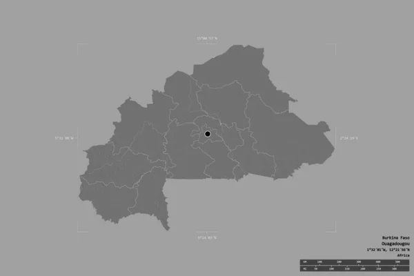
Area of Burkina Faso isolated on a solid background in a georeferenced bounding box. Main regional division, distance scale, labels. Bilevel elevation map. 3D rendering
Area Burkina Faso Isolated Solid Background Georeferenced Bounding Box Main — Stock Photo, Image
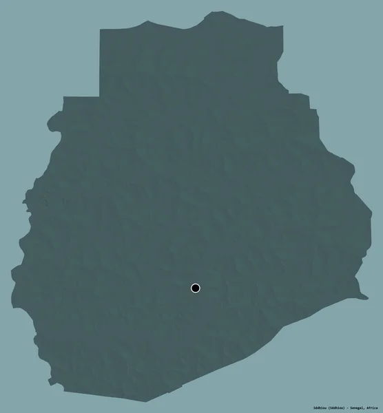
Shape of Sedhiou, region of Senegal, with its capital isolated on a solid color background. Colored elevation map. 3D rendering
Shape Sedhiou Region Senegal Its Capital Isolated Solid Color Background — Stock Photo, Image
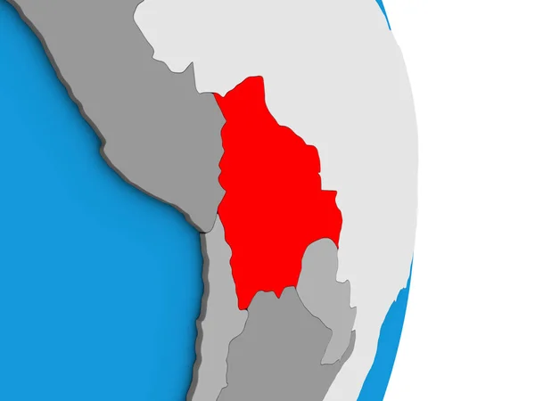
Bolivia on simple political 3D globe. 3D illustration.
Bolivia Simple Political Globe Illustration — Stock Photo, Image
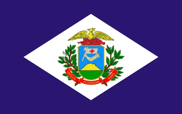
Flag of Mato Grosso, Brazil
Flag of Mato Grosso, Brazil — Stock Photo, Image
Flag of Acre in Brazil
Flag of Acre in Brazil — Stock Photo, Image
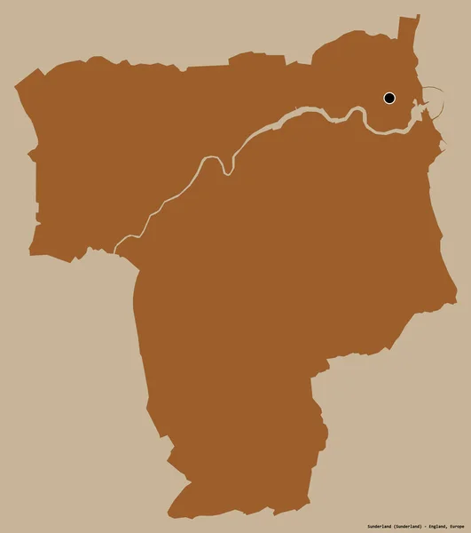
Shape of Sunderland, unitary authority of England, with its capital isolated on a solid color background. Composition of patterned textures. 3D rendering
Shape Sunderland Unitary Authority England Its Capital Isolated Solid Color — Stock Photo, Image
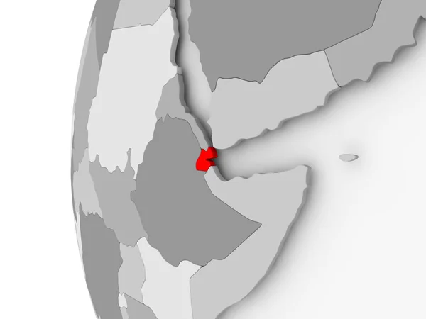
Djibouti on grey globe
Djibouti on grey globe — Stock Photo, Image
Djibouti on grey globe
Djibouti on grey globe — Stock Photo, Image
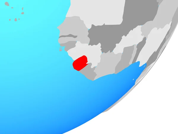
Sierra Leone on blue political globe. 3D illustration.
Sierra Leone Blue Political Globe Illustration — Stock Photo, Image
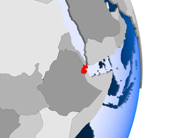
Djibouti in red on model of political globe with transparent oceans. 3D illustration.
Djibouti Red Model Political Globe Transparent Oceans Illustration — Stock Photo, Image
Ethiopia on globe
Ethiopia on globe — Stock Photo, Image
Polygonal 2D Mesh High Detail Raster Map of Huelva Province Abstractions
Polygonal 2D Mesh High Detail Raster Map of Huelva Province Abstractions — Stock Photo, Image
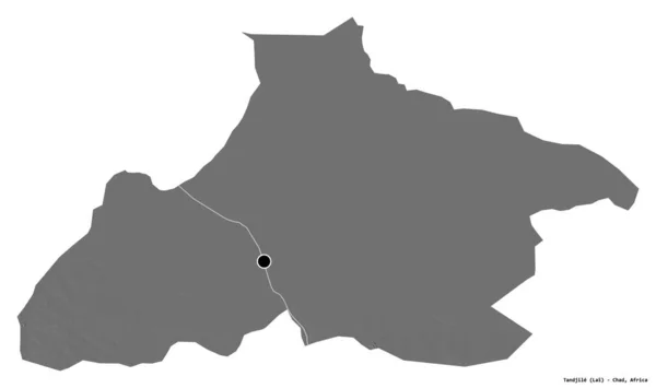
Shape of Tandjile, region of Chad, with its capital isolated on white background. Bilevel elevation map. 3D rendering
Shape Tandjile Region Chad Its Capital Isolated White Background Bilevel — Stock Photo, Image
Flag of Smolensk oblast, Russia
Flag Smolensk Oblast Russia — Stock Photo, Image
Shape of Katsina, state of Nigeria, with its capital isolated on white background. Bilevel elevation map. 3D rendering
Shape Katsina State Nigeria Its Capital Isolated White Background Bilevel — Stock Photo, Image
Ivory Coast in red on grey map
Ivory Coast in red on grey map — Stock Photo, Image
Ivory Coast in red on grey map
Ivory Coast in red on grey map — Stock Photo, Image
ESwatini on simple political 3D globe. 3D illustration.
Eswatini Simple Political Globe Illustration — Stock Photo, Image
Ethiopia 3d map with national color
Ethiopia 3d map with national color — Stock Photo, Image
Map of Rwanda
Map of Rwanda — Stock Photo, Image
Map of Rwanda
Map of Rwanda — Stock Photo, Image
Map of Rwanda
Map of Rwanda — Stock Photo, Image
Anapa city flag. Krasnodar region
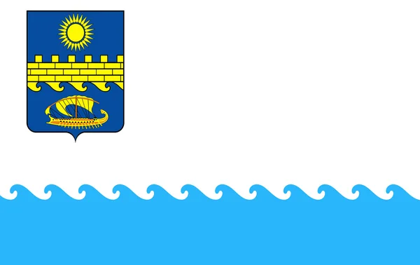
Anapa city flag. Krasnodar region — Stock Photo, Image
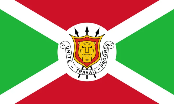
The official current flag and coat of arms of Republic of Burundi. State flag of Burundi. Illustration.
Official Current Flag Coat Arms Republic Burundi State Flag Burundi — Stock Photo, Image

Explore the City of Angola with Stunning Images

If you're looking for striking city images of Angola, look no further! Our stock photo collection has a wide variety of high-quality images captured by talented photographers. You can find stunning shots of the city of Angola and its many breathtaking landmarks. Each image is available in JPG, AI, and EPS formats, making them highly versatile for any creative project you have in mind.

Images for Commercial Use

Our stock images of Angola city are perfect for businesses and marketing professionals. Use our images to create marketing campaigns, social media posts, website designs, and more. Our collection includes images of the city skyline, historic architecture, bustling streets, and much more. These photos are ideal for businesses in the travel, hospitality, and tourism industries. Captivate your audience with stunning visuals that will make them eager to explore the city of Angola.

Images for Editorial Use

Our collection of Angola city images is also perfect for editorial purposes. Use our images to create captivating articles about the city of Angola, showcasing its rich history, culture, and landmarks. Our collection features images of iconic landmarks such as the National Museum of Slavery, the Fortress of São Miguel, and the Palácio de Ferro. These images are also a great resource for educators teaching about Angola's history and culture.

Tips for Using Images Correctly

When using images in your projects, it's essential to know how to use them correctly. Here are some tips to help you get the most out of our Angola city image collection:

1. Choose images that are relevant to your content. Our collection has a wide variety of images, so select the ones that are most relevant to your project.

2. Pay attention to image quality. Our images are high-quality, but it's still important to ensure that they meet your standards. Choose images that are clear and well-lit.

3. Consider image placement. Where you place your image can have a significant impact on its effectiveness. Consider using images as a focal point or background to enhance your content.
4. Add captions or descriptive text. Adding descriptive text can provide context and help users understand the relevance of the image to the content.

Final Thoughts

In conclusion, our collection of Angola city images is perfect for businesses, marketers, educators, and creatives. We offer high-quality images in a variety of formats, making our collection highly versatile for any project you have in mind. Remember to choose images that are relevant to your content, pay attention to image quality, consider image placement, and add descriptive text. With these tips, you'll be able to use our stock images effectively and create captivating projects that truly stand out.