Developing countries Stock Photos

100,000 Developing countries pictures are available under a royalty-free license

  • Best Match
  • Fresh
  • Popular
1-100 of 100,000
Bissau, Republic of Guinea-Bissau - January 29, 2018: Group of children playing in a dirty street at the Bissaque neighborhood in the city of Bissau, Guinea Bissau.
Bissau Republic Guinea Bissau January 2018 Group Children Playing Dirty — Stock Photo, Image
AMRAVATI, MAHARASHTRA, INDIA - APRIL 09, 2014: Unidentified rag pickers search for recyclable material in the garbage. Land and air pollution in India on April 09, 2014, Amravati, India.
AMRAVATI, MAHARASHTRA, INDIA - APRIL 09, 2014: Unidentified rag pickers search for recyclable material in the garbage. Land and air pollution in India on April 09, 2014, Amravati, India. — Stock Photo, Image
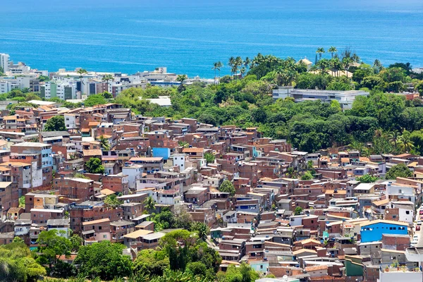
Aerial View of Favela (Shanty Town) in Salvador, Bahia, Brazil
Aerial View of Favela (Shanty Town) in Salvador, Bahia, Brazil — Stock Photo, Image
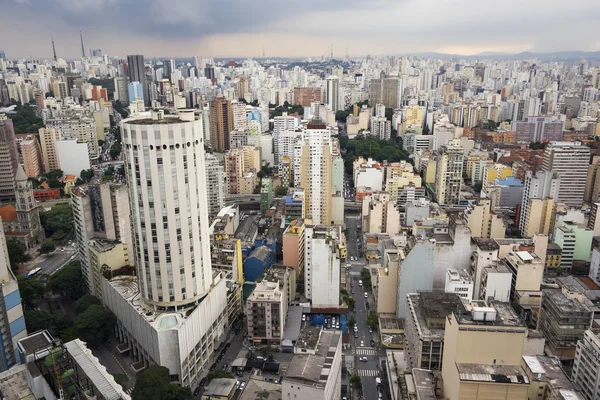
Sao Paulo Cityscape, Brazil
Sao Paulo Cityscape, Brazil — Stock Photo, Image
Salvador Cityscape, Bahia, Brazil
Salvador Cityscape, Bahia, Brazil — Stock Photo, Image
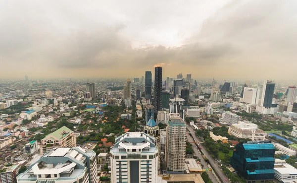
Smog and haze over Bangkok, cityscape from above
Smog and haze over Bangkok, cityscape from above — Stock Photo, Image
Rural woman preparing food in traditional home kitchen. Domestic life in Sri Lanka.
Rural Woman Preparing Food Traditional Home Kitchen Domestic Life Sri — Stock Photo, Image
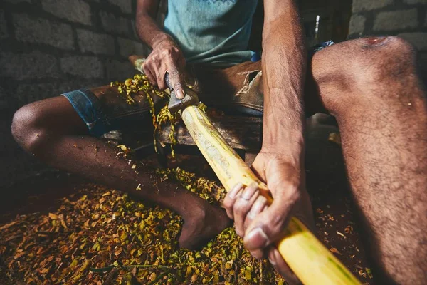
Hands of the man preparing cinnamon sticks. Manual worker in Sri Lanka.
Hands Man Preparing Cinnamon Sticks Manual Worker Sri Lanka — Stock Photo, Image
Ancient fishing village, Etang de Canet-Saint-Nazar, South of France
Ancient fishing village, Etang de Canet-Saint-Nazar, South of France — Stock Photo, Image
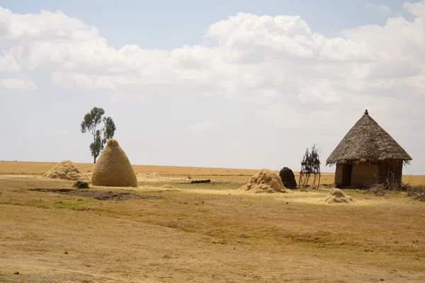
Ethiopian hut
Ethiopian hut — Stock Photo, Image
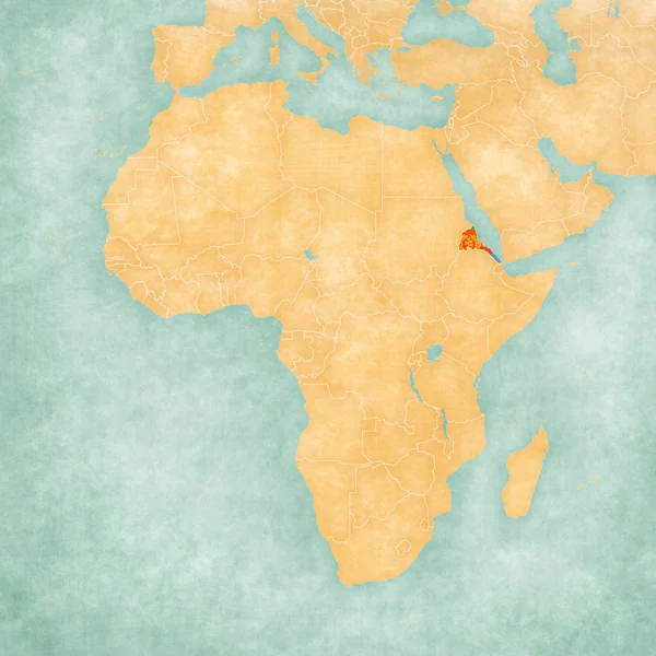
Map of Africa - Eritrea
Map of Africa - Eritrea — Stock Photo, Image
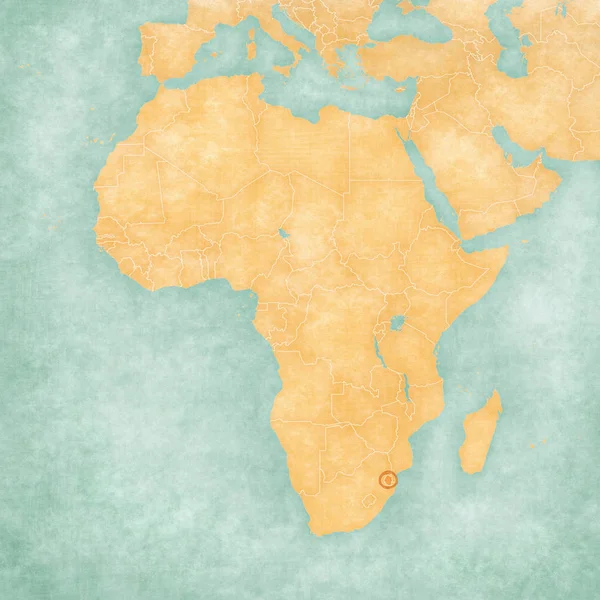
Map of Africa - Swaziland
Map of Africa - Swaziland — Stock Photo, Image
Mozambique on globe with reflection
Mozambique on globe with reflection — Stock Photo, Image
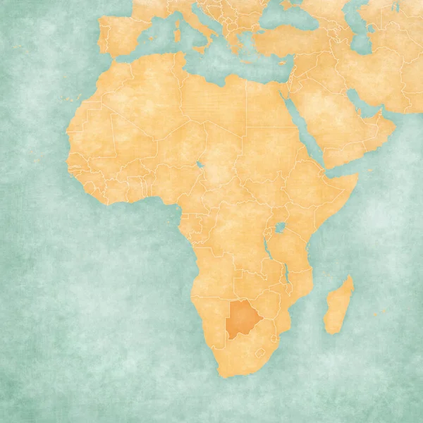
Map of Africa - Botswana
Map of Africa - Botswana — Stock Photo, Image
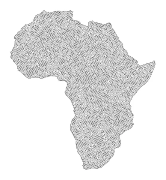
Polygonal Network Mesh High Resolution Raster Map of Africa Abstractions
Polygonal Network Mesh High Resolution Raster Map of Africa Abstractions — Stock Photo, Image
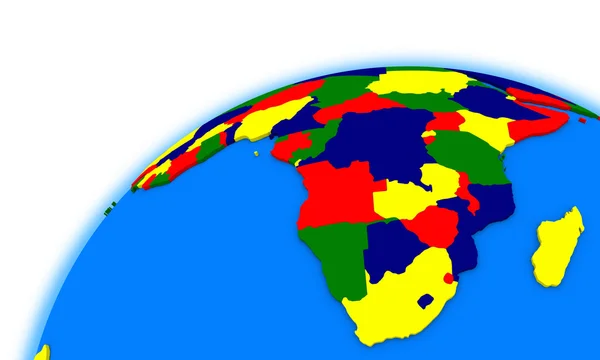
Central Africa on globe with shadow isolated on white background. 3D illustration.
Central Africa Globe Shadow Isolated White Background Illustration — Stock Photo, Image
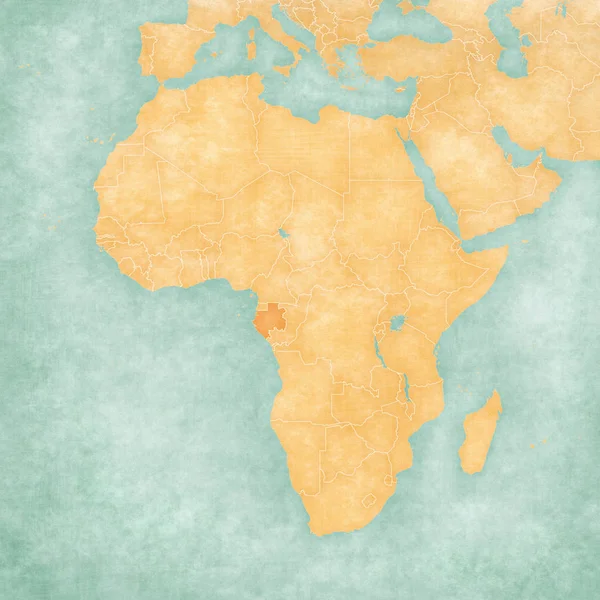
Map of Africa - Gabon
Map of Africa - Gabon — Stock Photo, Image
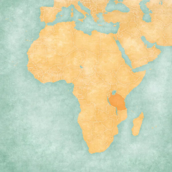
Map of Africa - Tanzania
Map of Africa - Tanzania — Stock Photo, Image
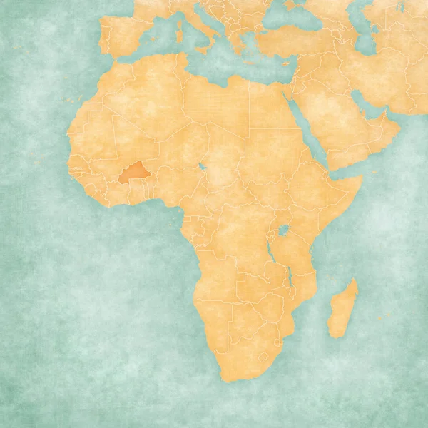
Map of Africa - Burkina Faso
Map of Africa - Burkina Faso — Stock Photo, Image
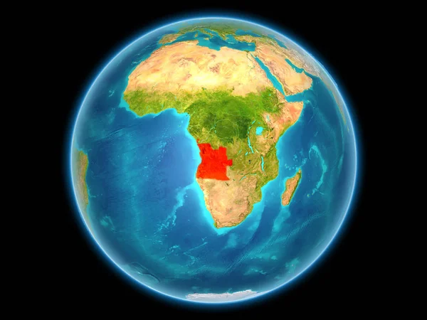
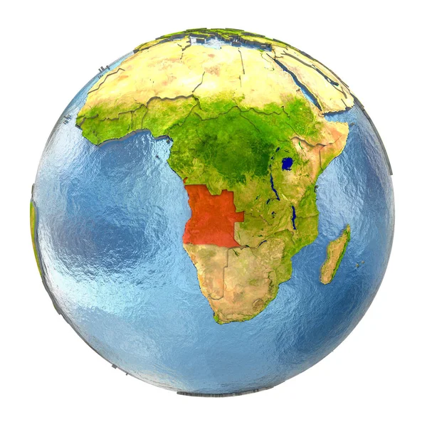
Angola on planet Earth
Angola on planet Earth — Stock Photo, Image
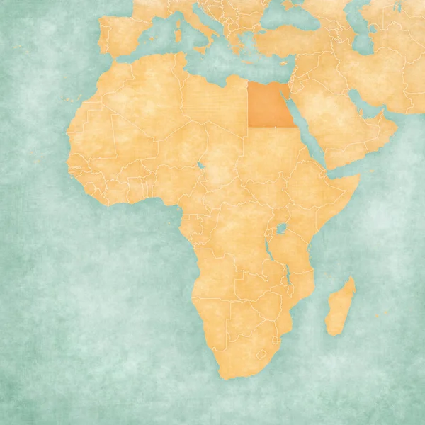
Map of Africa - Egypt
Map of Africa - Egypt — Stock Photo, Image
Map of Africa - Mozambique
Map of Africa - Mozambique — Stock Photo, Image
Map of Africa - Republic of the Congo
Map of Africa - Republic of the Congo — Stock Photo, Image
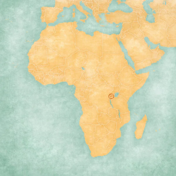
Map of Africa - Rwanda
Map of Africa - Rwanda — Stock Photo, Image
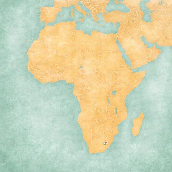
Map of Africa - Lesotho
Map of Africa - Lesotho — Stock Photo, Image
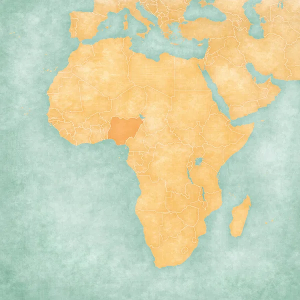
Map of Africa - Nigeria
Map of Africa - Nigeria — Stock Photo, Image
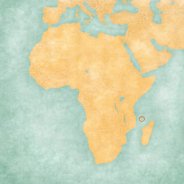
Map of Africa - Comoros
Map of Africa - Comoros — Stock Photo, Image
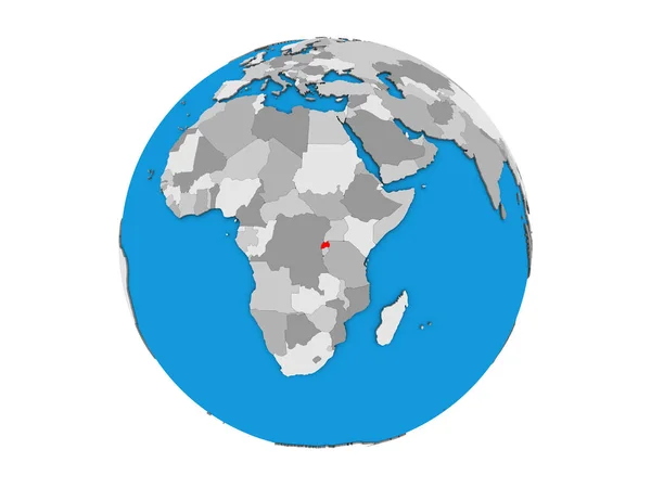
Rwanda on blue political 3D globe. 3D illustration isolated on white background.
Rwanda Blue Political Globe Illustration Isolated White Background — Stock Photo, Image
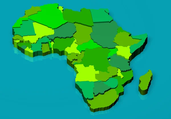
Political map of Africa 3D
Political map of Africa 3D — Stock Photo, Image
Democratic Republic of Congo on globe with shadow isolated on white background. 3D illustration.
Democratic Republic Congo Globe Shadow Isolated White Background Illustration — Stock Photo, Image
Outline map of Africa and its countries over a pale background
Outline Map Africa Its Countries Pale Background — Stock Photo, Image
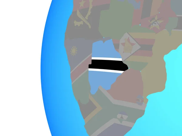
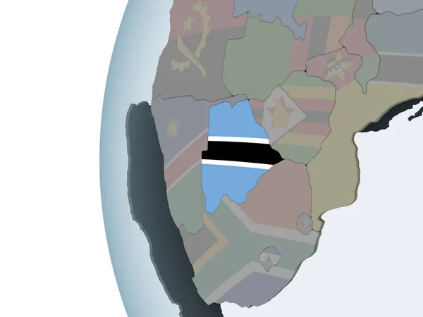
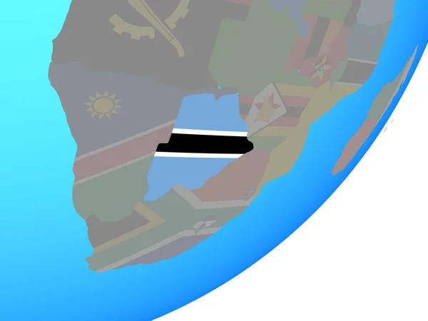
Botswana with embedded national flag on blue political globe. 3D illustration.
Botswana Embedded National Flag Blue Political Globe Illustration — Stock Photo, Image
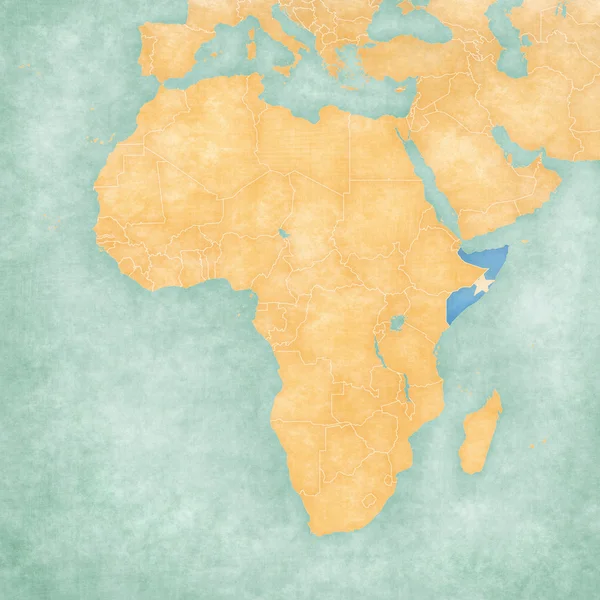
Map of Africa - Somalia
Map of Africa - Somalia — Stock Photo, Image
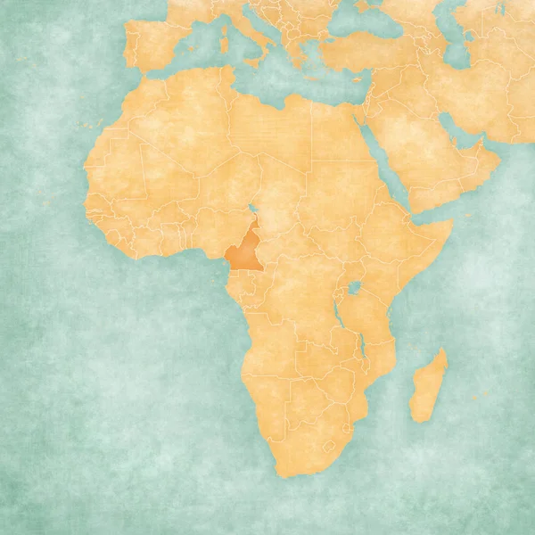
Map of Africa - Cameroon
Map of Africa - Cameroon — Stock Photo, Image
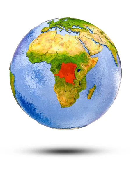
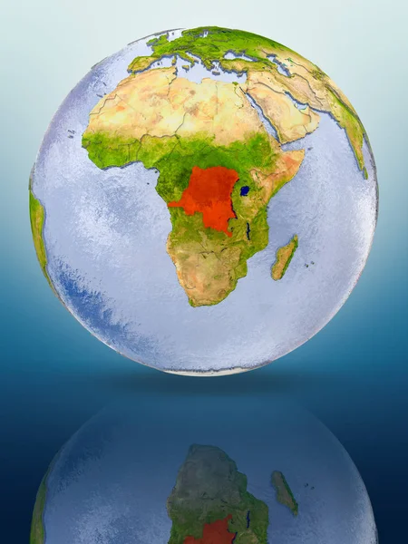
Democratic Republic of Congo In red color on globe reflecting on shiny surface. 3D illustration.
Democratic Republic Congo Red Color Globe Reflecting Shiny Surface Illustration — Stock Photo, Image
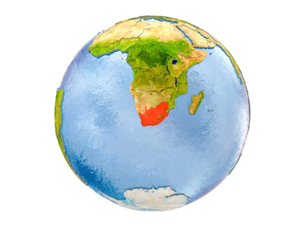
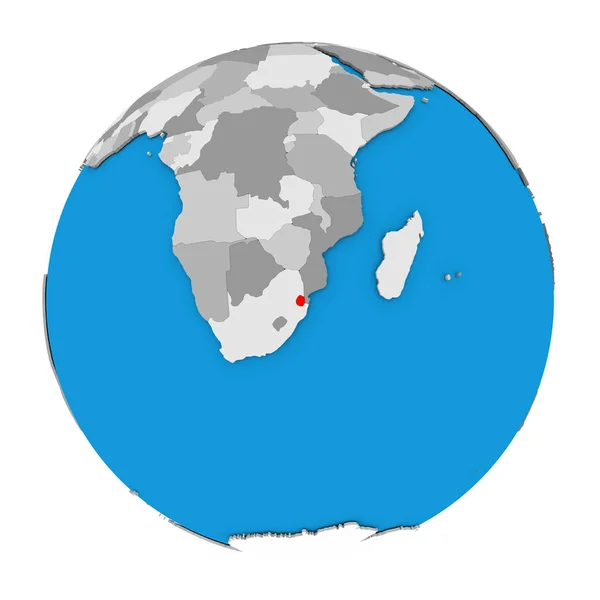
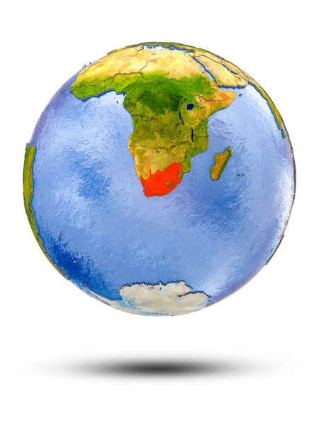
South Africa highlighted in red on model of Earth. 3D illustration isolated on white background. Elements of this image furnished by NASA.
South Africa Highlighted Red Model Earth Illustration Isolated White Background — Stock Photo, Image
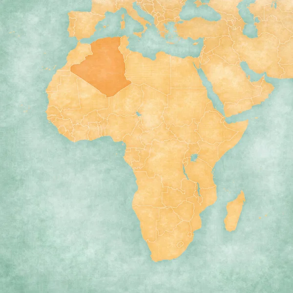
Map of Africa - Algeria
Map of Africa - Algeria — Stock Photo, Image
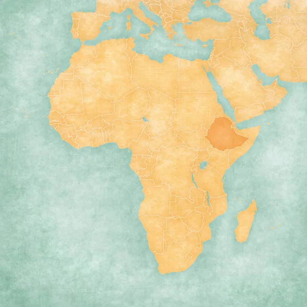
Map of Africa - Ethiopia
Map of Africa - Ethiopia — Stock Photo, Image
Malawi In red color on globe reflecting on shiny surface. 3D illustration.
Malawi Red Color Globe Reflecting Shiny Surface Illustration — Stock Photo, Image
Chad. Neighborhood - distant perspective with outline of the country. shapes only - land/ocean mask
Chad Neighborhood Distant Perspective Outline Country Shapes Only Land Ocean — Stock Photo, Image
Swaziland on globe
Swaziland on globe — Stock Photo, Image
Botswana with embedded national flag on blue political globe. 3D illustration.
Botswana Embedded National Flag Blue Political Globe Illustration — Stock Photo, Image
Nigeria. Globe with the shape of the country against zoomed map with its outline. shapes only - land/ocean mask
Nigeria Globe Shape Country Zoomed Map Its Outline Shapes Only — Stock Photo, Image
Map 3D Earth with forms and colors
Map 3D Earth with forms and colors — Stock Photo, Image
Lesotho on political globe with embedded flag. 3D illustration.
Lesotho Political Globe Embedded Flag Illustration — Stock Photo, Image
Sudan. Neighborhood - distant perspective with outline of the country. shapes only - land/ocean mask
Sudan Neighborhood Distant Perspective Outline Country Shapes Only Land Ocean — Stock Photo, Image
Congo Kinshasa. Neighborhood - distant perspective without outline. grayscale elevation map
Congo Kinshasa Neighborhood Distant Perspective Outline Grayscale Elevation Map — Stock Photo, Image
South Africa on globe political map
South Africa on globe political map — Stock Photo, Image
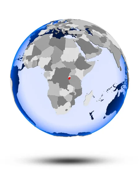
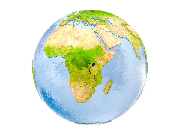
Burundi on political globe with shadow and translucent oceans isolated on white background. 3D illustration.
Burundi Political Globe Shadow Translucent Oceans Isolated White Background Illustration — Stock Photo, Image
Rwanda on globe isolated
Rwanda on globe isolated — Stock Photo, Image
South Africa on globe with shadow isolated on white background. 3D illustration.
South Africa Globe Shadow Isolated White Background Illustration — Stock Photo, Image
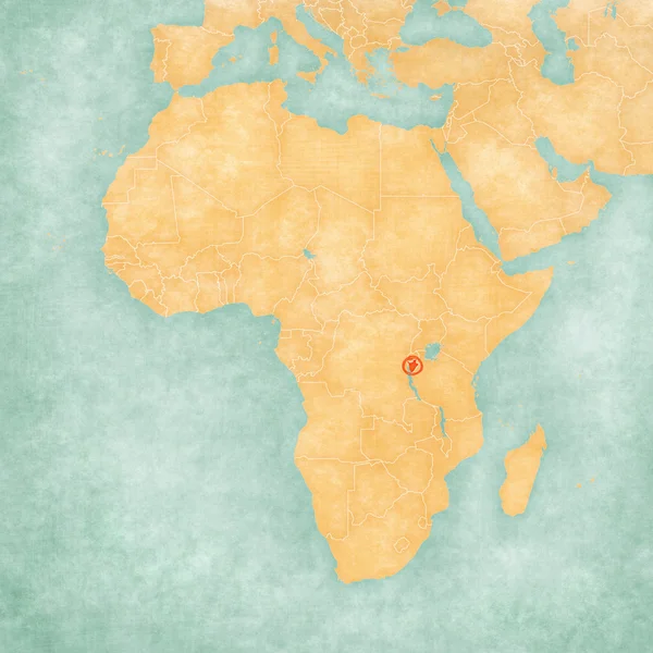
Map of Africa - Burundi
Map of Africa - Burundi — Stock Photo, Image
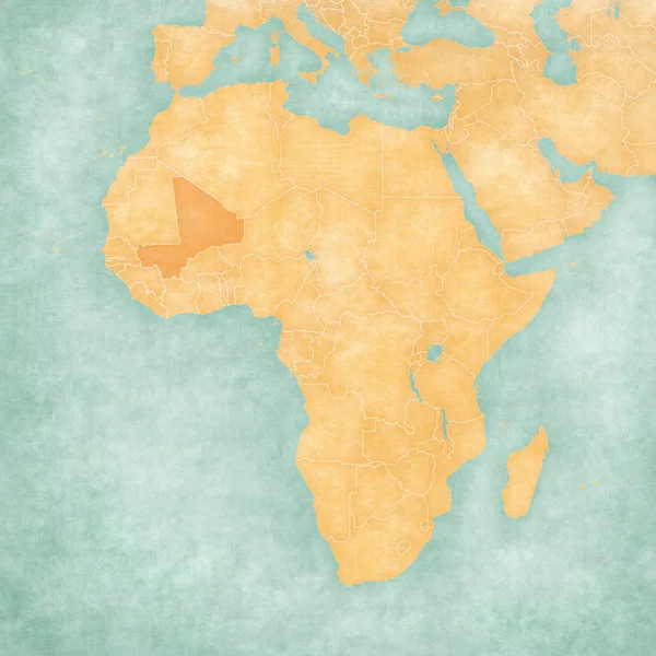
Map of Africa - Mali
Map of Africa - Mali — Stock Photo, Image
Map of Africa - Rwanda
Map of Africa - Rwanda — Stock Photo, Image
Botswana on political globe with embedded flag. 3D illustration.
Botswana Political Globe Embedded Flag Illustration — Stock Photo, Image
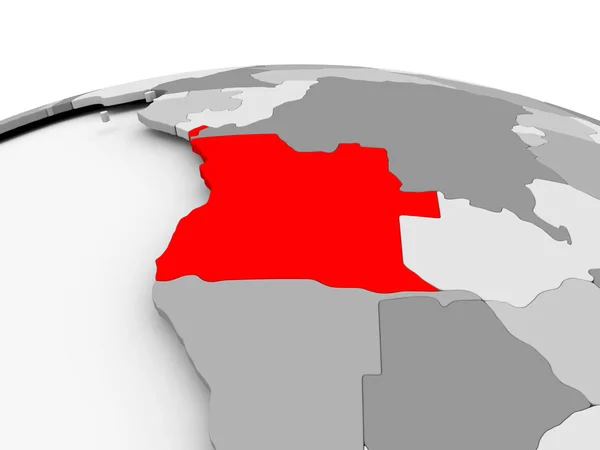
Angola on grey globe
Angola on grey globe — Stock Photo, Image
South Africa on globe
South Africa on globe — Stock Photo, Image
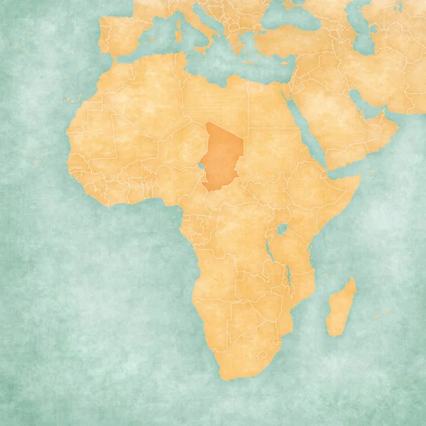
Map of Africa - Chad
Map of Africa - Chad — Stock Photo, Image
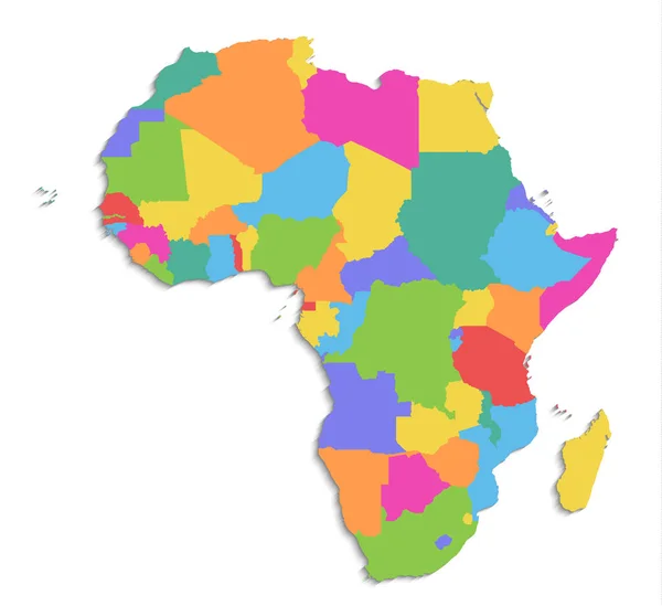
Africa map, new political detailed map, separate individual states, with state names, isolated on white background 3D blank
Africa Map New Political Detailed Map Separate Individual States State — Stock Photo, Image
Botswana on globe with shadow isolated on white background. 3D illustration.
Botswana Globe Shadow Isolated White Background Illustration — Stock Photo, Image
Sierra Leone on gray political globe with embedded flag. 3D illustration.
Sierra Leone Gray Political Globe Embedded Flag Illustration — Stock Photo, Image
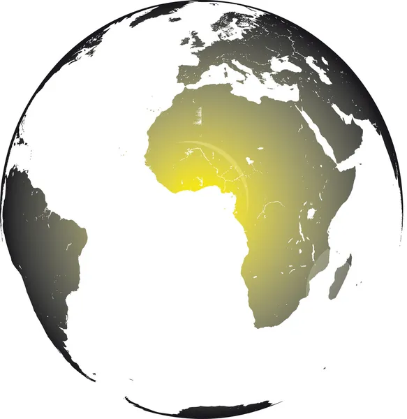
Africa on the globe
Africa on the globe — Stock Photo, Image
Venezuela. Neighborhood - distant perspective with outline of the country. shapes only - land/ocean mask
Venezuela Neighborhood Distant Perspective Outline Country Shapes Only Land Ocean — Stock Photo, Image
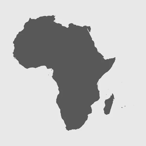
Continent of Africa
Continent of Africa — Stock Photo, Image
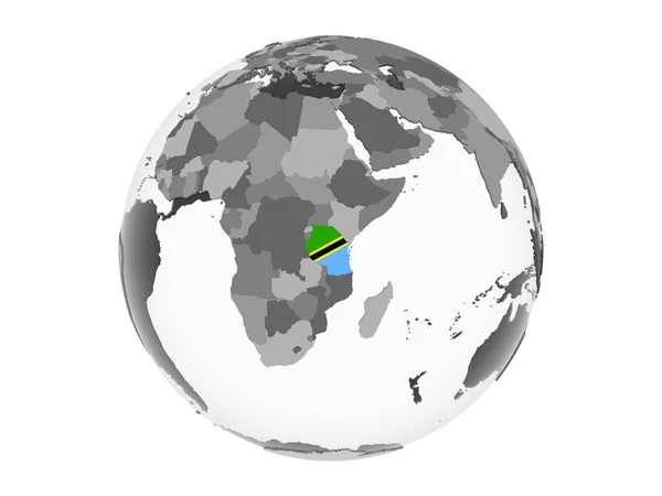
Tanzania on blue globe isolated on white background. 3D illustration.
Tanzania Blue Globe Isolated White Background Illustration — Stock Photo, Image
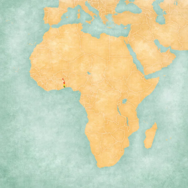
Map of Africa - Togo
Map of Africa - Togo — Stock Photo, Image
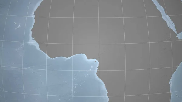
Cameroon. Neighborhood - distant perspective without outline. grayscale elevation map
Cameroon Neighborhood Distant Perspective Outline Grayscale Elevation Map — Stock Photo, Image
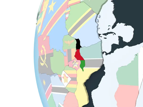
Malawi on bright political globe with embedded flag. 3D illustration.
Malawi Bright Political Globe Embedded Flag Illustration — Stock Photo, Image
Somalia on planet Earth
Somalia on planet Earth — Stock Photo, Image
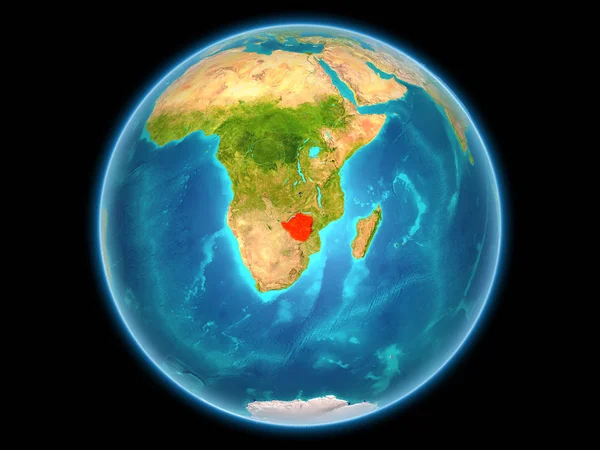
Zimbabwe on planet Earth
Zimbabwe on planet Earth — Stock Photo, Image
Azerbaijan. Neighborhood - distant perspective without outline. shapes only - land/ocean mask
Azerbaijan Neighborhood Distant Perspective Outline Shapes Only Land Ocean Mask — Stock Photo, Image
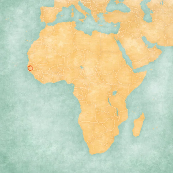
Map of Africa - The Gambia
Map of Africa - The Gambia — Stock Photo, Image
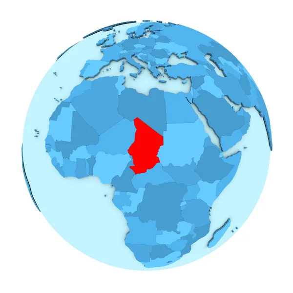
Chad on globe isolated
Chad on globe isolated — Stock Photo, Image
Map of Africa - Somalia
Map of Africa - Somalia — Stock Photo, Image
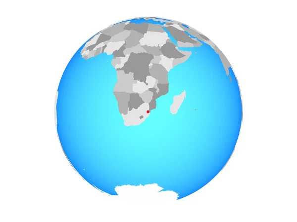
ESwatini on blue political globe. 3D illustration isolated on white background.
Eswatini Blue Political Globe Illustration Isolated White Background — Stock Photo, Image
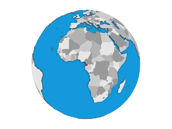
Equatorial Guinea on blue political 3D globe. 3D illustration isolated on white background.
Equatorial Guinea Blue Political Globe Illustration Isolated White Background — Stock Photo, Image
South Africa on globe political map
South Africa on globe political map — Stock Photo, Image
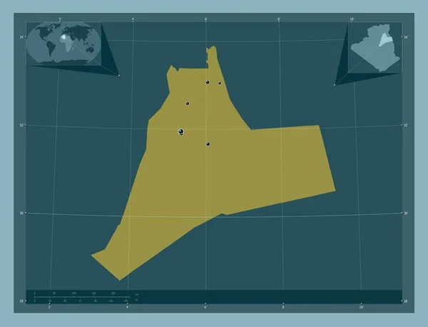
Ouargla, province of Algeria. Solid color shape. Locations of major cities of the region. Corner auxiliary location maps
Ouargla Province Algeria Solid Color Shape Locations Major Cities Region — Stock Photo, Image
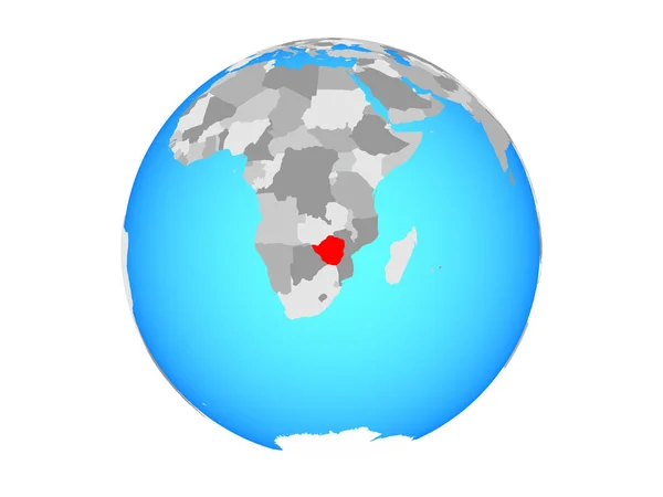
Zimbabwe on blue political globe. 3D illustration isolated on white background.
Zimbabwe Blue Political Globe Illustration Isolated White Background — Stock Photo, Image
Burundi highlighted in red on model of Earth. 3D illustration isolated on white background. Elements of this image furnished by NASA.
Burundi Highlighted Red Model Earth Illustration Isolated White Background Elements — Stock Photo, Image
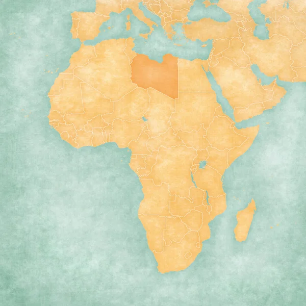
Map of Africa - Libya
Map of Africa - Libya — Stock Photo, Image
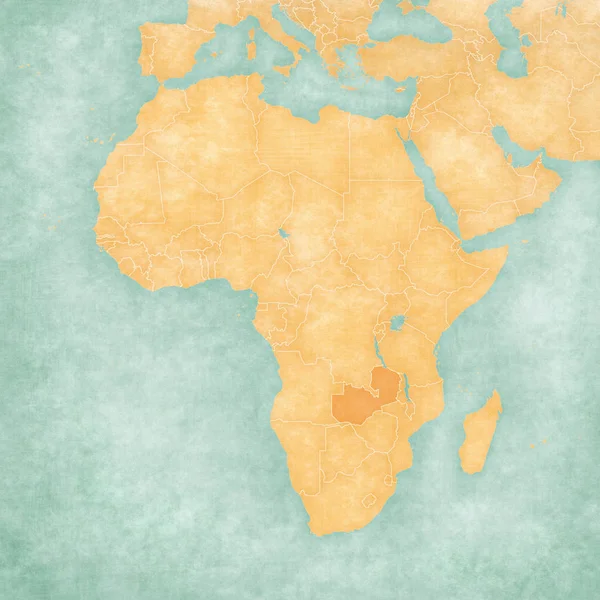
Map of Africa - Zambia
Map of Africa - Zambia — Stock Photo, Image
Equatorial Guinea on globe isolated
Equatorial Guinea on globe isolated — Stock Photo, Image
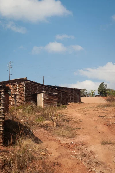
The buildings of the Nazarene Mission School in Piggs Peak, Swaziland, circa July 2018
Buildings Nazarene Mission School Piggs Peak Swaziland Circa July 2018 — Stock Photo, Image
Glass globe.
Glass globe. — Stock Photo, Image
South Sudan on grey globe isolated
South Sudan on grey globe isolated — Stock Photo, Image
Africa on model of planet Earth
Africa on model of planet Earth — Stock Photo, Image
South Africa on blue political globe. 3D illustration isolated on white background.
South Africa Blue Political Globe Illustration Isolated White Background — Stock Photo, Image
Map of Africa - Ascension Island
Map of Africa - Ascension Island — Stock Photo, Image
Rwanda on globe isolated
Rwanda on globe isolated — Stock Photo, Image
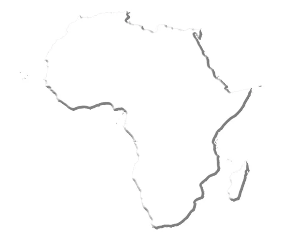
Africa 3D White Map
Africa 3D White Map — Stock Photo, Image
Worldmap
Worldmap — Stock Photo, Image
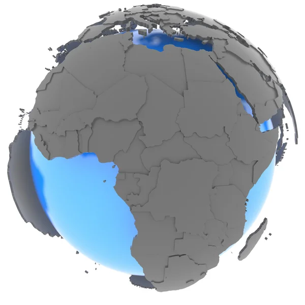
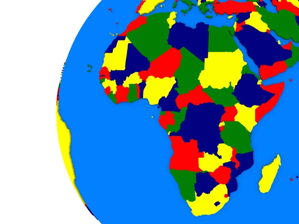
African continent on political globe
African continent on political globe — Stock Photo, Image
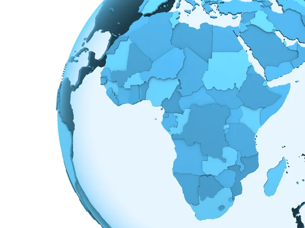
Africa on translucent Earth
Africa on translucent Earth — Stock Photo, Image
Tanzania on gray political globe with embedded flag. 3D illustration isolated on white background.
Tanzania Gray Political Globe Embedded Flag Illustration Isolated White Background — Stock Photo, Image
World map with continents and flag of the united states
World Map Continents Flag United States — Stock Photo, Image
Swaziland with flag on globe with shadow isolated on white background. 3D illustration.
Swaziland Flag Globe Shadow Isolated White Background Illustration — Stock Photo, Image
Angola in red on full Earth
Angola in red on full Earth — Stock Photo, Image

Developing Countries Images: Find the Perfect Visuals for Your Projects

Developing countries are teeming with vibrant cultures, stunning landscapes, and diverse populations. Representing these countries through images requires careful consideration to accurately capture their essence while avoiding stereotypes. Our library of stock images features a wide range of visuals suitable for different projects.

What Images Are Available

Our library features a vast collection of high-quality images that showcase developing countries' people, landscapes, and cultures. We have images of bustling cities, serene countryside, and stunning wildlife. We also feature graphics and illustrations representing various aspects of these countries, including their arts, crafts, and native plants.

How Can You Use Our Images

Our visuals cater to a broad audience, including marketers, journalists, academics, and bloggers, among others. Developing countries images are useful for creating social media posts, websites, blogs, marketing materials, and educational resources. For marketers, our images can help tell an authentic brand story that connects with the target audience. Journalists can use our images to enhance their news stories and provide context to their readers. Academics can also use our images for research purposes, including in academic papers, presentations, and lectures.

Tips for Using Our Images Effectively

When it comes to creating engaging content, visuals play a crucial role. However, using the wrong images can lead to misrepresentation or perpetuation of stereotypes. Here are some tips to help you use our visuals effectively:

  • Avoid using images that reinforce negative stereotypes or show people in vulnerable positions. Instead, choose images that showcase the diversity and richness of these countries.
  • Use images that represent the story you are telling accurately. This means avoiding generic images that have little relevance to your project.
  • Remember to give credit to the source of the images you use. This ensures ethical and legal use of the visuals.

Conclusion

With our vast library of developing countries images, finding the perfect visuals for your project has never been easier. We offer affordable high-quality images that cater to a broad range of needs. Remember, using the right images can elevate your project and help you connect with your audience effectively. Use our tips to make sure you choose the right visuals for your needs.