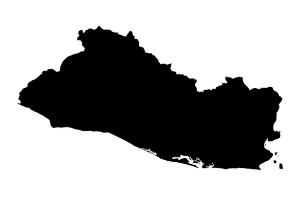
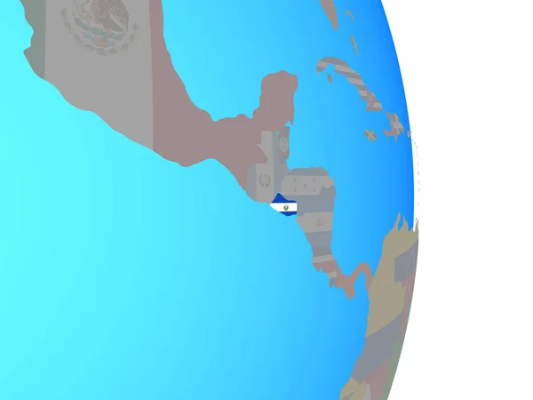
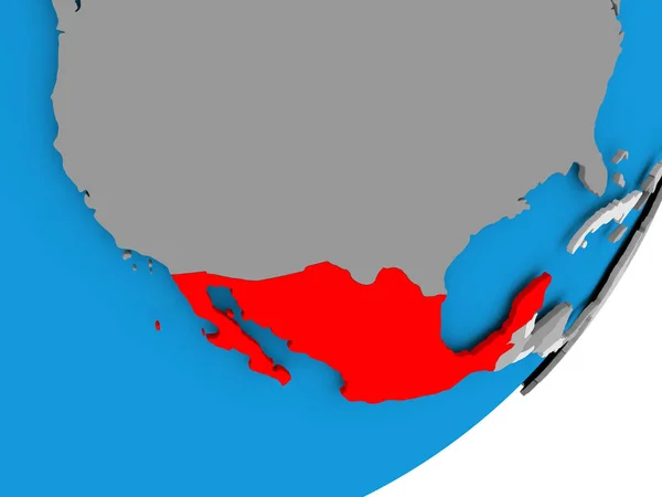
Republic of El Salvador map
Republic of El Salvador map — Stock Photo, Image
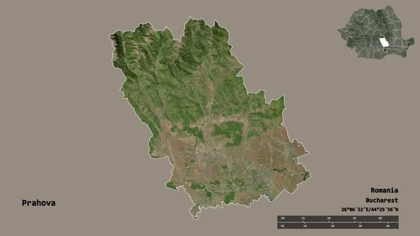
Shape of Prahova, county of Romania, with its capital isolated on solid background. Distance scale, region preview and labels. Satellite imagery. 3D rendering
Shape Prahova County Romania Its Capital Isolated Solid Background Distance — Stock Photo, Image
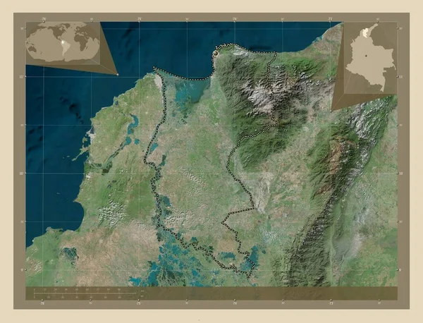
Magdalena, department of Colombia. High resolution satellite map. Corner auxiliary location maps
Magdalena Department Colombia High Resolution Satellite Map Corner Auxiliary Location — Stock Photo, Image
Cienfuegos, province of Cuba. Elevation map colored in wiki style with lakes and rivers. Corner auxiliary location maps
Cienfuegos Province Cuba Elevation Map Colored Wiki Style Lakes Rivers — Stock Photo, Image
Shape of Artemisa, province of Cuba, with its capital isolated on solid background. Distance scale, region preview and labels. Topographic relief map. 3D rendering
Shape Artemisa Province Cuba Its Capital Isolated Solid Background Distance — Stock Photo, Image
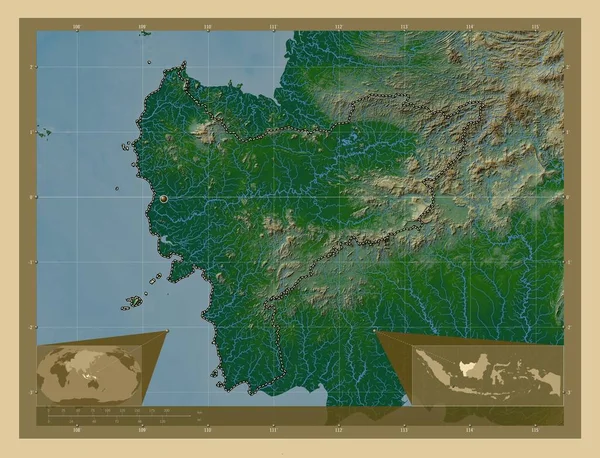
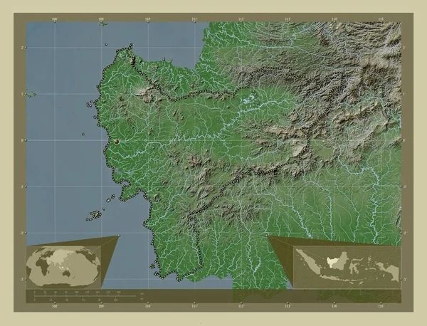
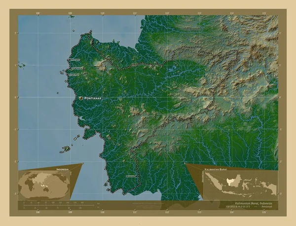
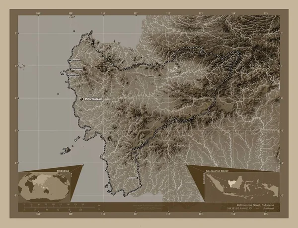
Kalimantan Barat, province of Indonesia. Colored elevation map with lakes and rivers. Corner auxiliary location maps
Kalimantan Barat Province Indonesia Colored Elevation Map Lakes Rivers Corner — Stock Photo, Image
Kalimantan Barat, province of Indonesia. Colored elevation map with lakes and rivers. Locations of major cities of the region. Corner auxiliary location maps
Kalimantan Barat Province Indonesia Colored Elevation Map Lakes Rivers Locations — Stock Photo, Image
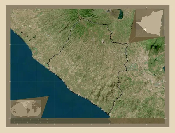
Carazo, department of Nicaragua. High resolution satellite map. Locations of major cities of the region. Corner auxiliary location maps
Carazo Department Nicaragua High Resolution Satellite Map Locations Major Cities — Stock Photo, Image
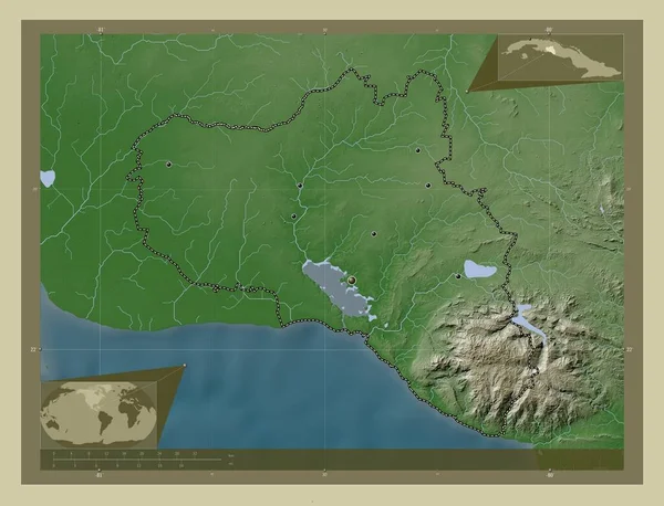
Cienfuegos, province of Cuba. Elevation map colored in wiki style with lakes and rivers. Locations of major cities of the region. Corner auxiliary location maps
Cienfuegos Province Cuba Elevation Map Colored Wiki Style Lakes Rivers — Stock Photo, Image
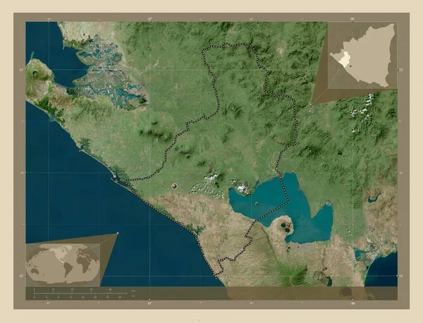
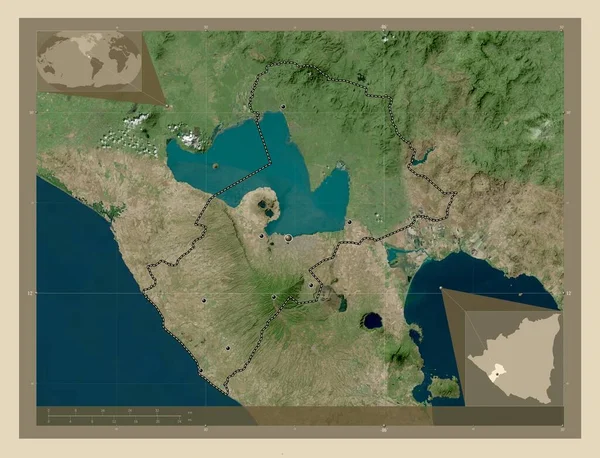
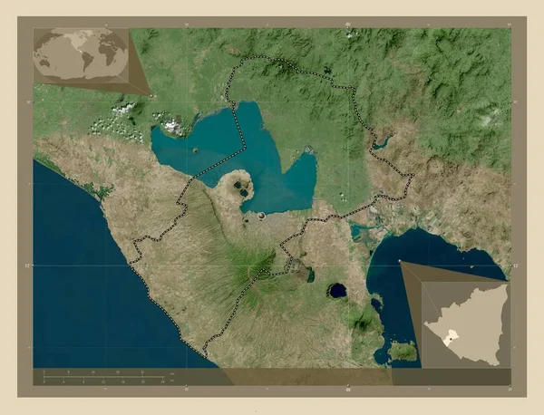
Leon, department of Nicaragua. High resolution satellite map. Corner auxiliary location maps
Leon Department Nicaragua High Resolution Satellite Map Corner Auxiliary Location — Stock Photo, Image
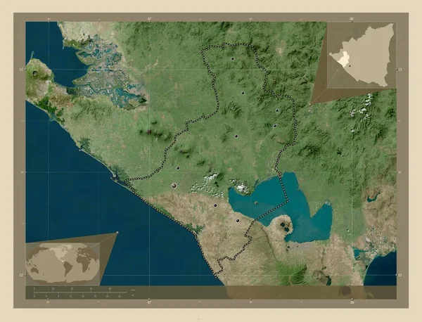
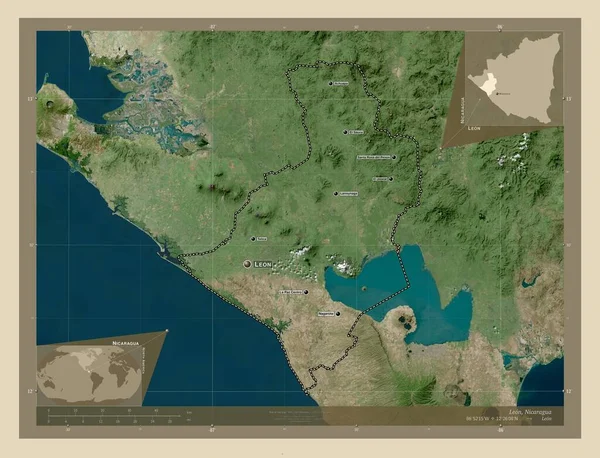
Leon, department of Nicaragua. High resolution satellite map. Locations of major cities of the region. Corner auxiliary location maps
Leon Department Nicaragua High Resolution Satellite Map Locations Major Cities — Stock Photo, Image
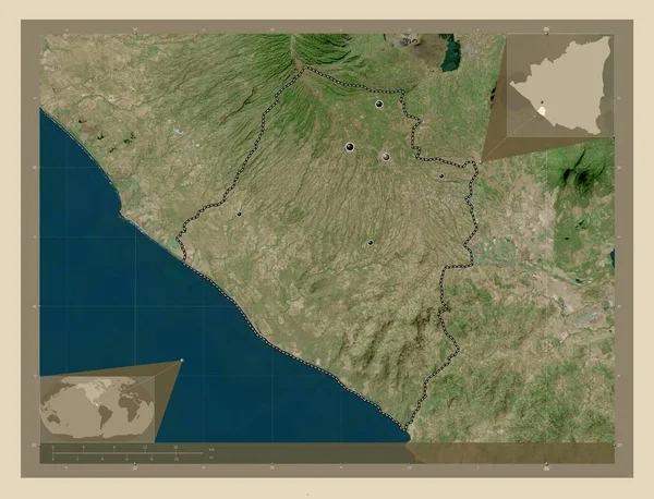
Carazo, department of Nicaragua. High resolution satellite map. Corner auxiliary location maps
Carazo Department Nicaragua High Resolution Satellite Map Corner Auxiliary Location — Stock Photo, Image
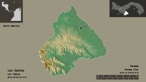
Shape of Los Santos, province of Panama, and its capital. Distance scale, previews and labels. Topographic relief map. 3D rendering
Shape Los Santos Province Panama Its Capital Distance Scale Previews — Stock Photo, Image
Shape of Santiago, province of Dominican Republic, and its capital. Distance scale, previews and labels. Composition of patterned textures. 3D rendering
Shape Santiago Province Dominican Republic Its Capital Distance Scale Previews — Stock Photo, Image
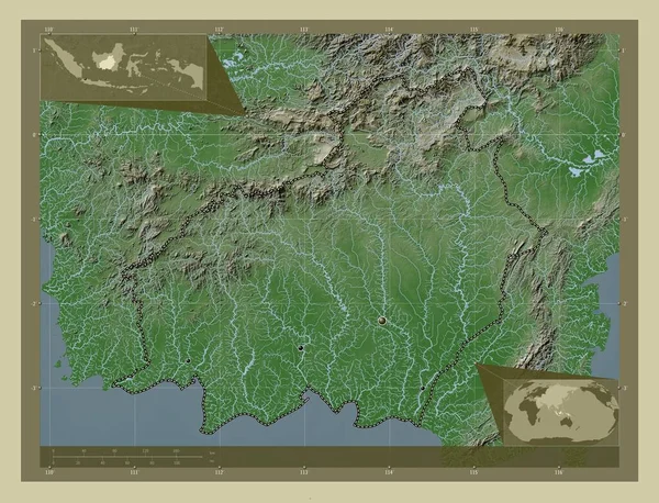
Kalimantan Barat, province of Indonesia. Elevation map colored in wiki style with lakes and rivers. Corner auxiliary location maps
Kalimantan Barat Province Indonesia Elevation Map Colored Wiki Style Lakes — Stock Photo, Image
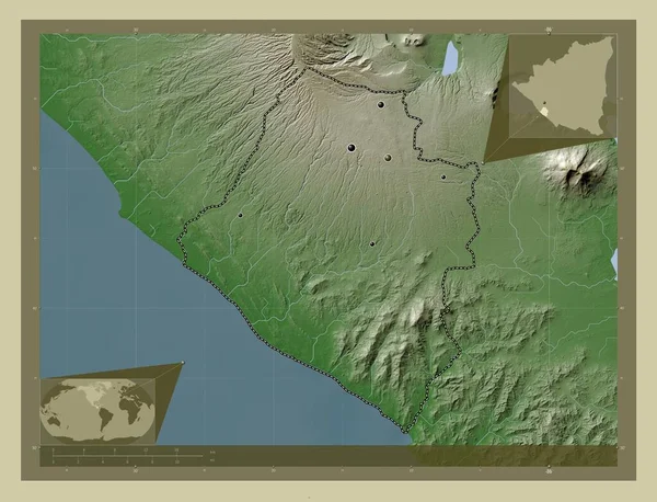
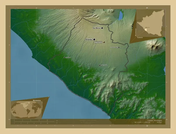
Carazo, department of Nicaragua. Elevation map colored in wiki style with lakes and rivers. Locations of major cities of the region. Corner auxiliary location maps
Carazo Department Nicaragua Elevation Map Colored Wiki Style Lakes Rivers — Stock Photo, Image
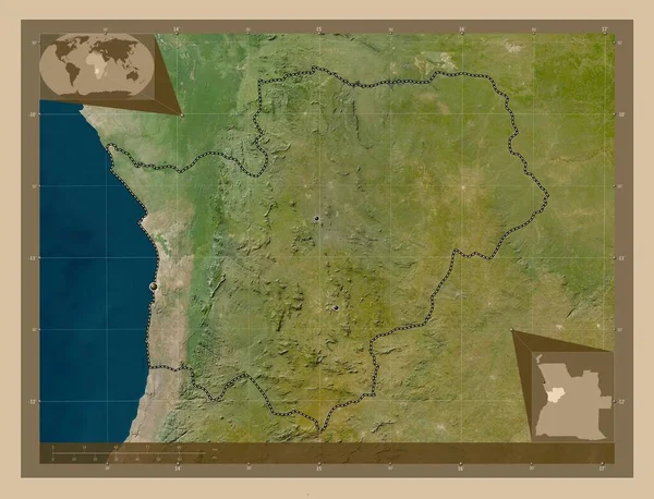
Cuanza Sul, province of Angola. Low resolution satellite map. Locations of major cities of the region. Corner auxiliary location maps
Cuanza Sul Province Angola Low Resolution Satellite Map Locations Major — Stock Photo, Image
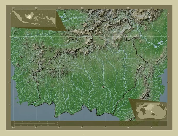
Kalimantan Tengah, province of Indonesia. Elevation map colored in wiki style with lakes and rivers. Corner auxiliary location maps
Kalimantan Tengah Province Indonesia Elevation Map Colored Wiki Style Lakes — Stock Photo, Image
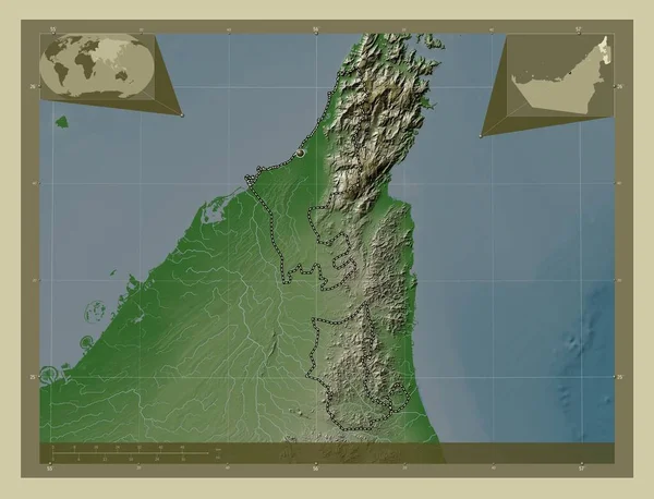
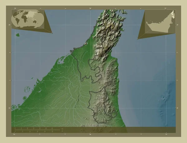
Ras Al Khaymah, emirate of United Arab Emirates. Elevation map colored in wiki style with lakes and rivers. Corner auxiliary location maps
Ras Khaymah Emirate United Arab Emirates Elevation Map Colored Wiki — Stock Photo, Image
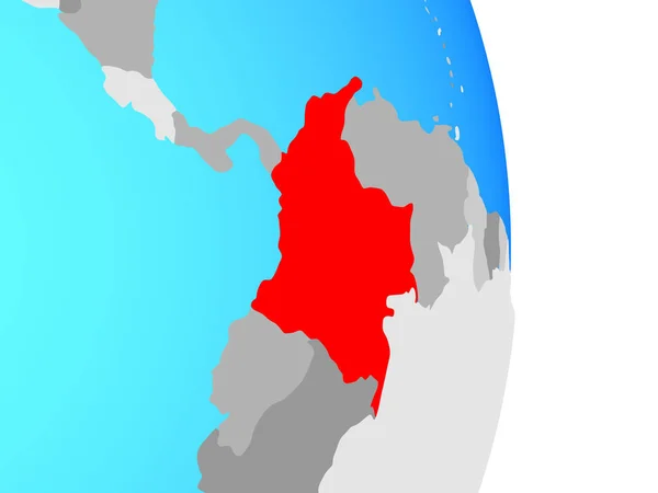
Colombia on simple political globe. 3D illustration.
Colombia Simple Political Globe Illustration — Stock Photo, Image
Colombia on simple political globe. 3D illustration.
Colombia Simple Political Globe Illustration — Stock Photo, Image
Cuanza Sul, province of Angola. Low resolution satellite map. Corner auxiliary location maps
Cuanza Sul Province Angola Low Resolution Satellite Map Corner Auxiliary — Stock Photo, Image
Kalimantan Tengah, province of Indonesia. Elevation map colored in wiki style with lakes and rivers. Locations of major cities of the region. Corner auxiliary location maps
Kalimantan Tengah Province Indonesia Elevation Map Colored Wiki Style Lakes — Stock Photo, Image
Kalimantan Barat, province of Indonesia. Colored elevation map with lakes and rivers. Locations and names of major cities of the region. Corner auxiliary location maps
Kalimantan Barat Province Indonesia Colored Elevation Map Lakes Rivers Locations — Stock Photo, Image
Ras Al Khaymah, emirate of United Arab Emirates. Elevation map colored in wiki style with lakes and rivers. Locations of major cities of the region. Corner auxiliary location maps
Ras Khaymah Emirate United Arab Emirates Elevation Map Colored Wiki — Stock Photo, Image
El Salvador with national flag on simple political globe. 3D illustration.
Salvador National Flag Simple Political Globe Illustration — Stock Photo, Image
Carazo, department of Nicaragua. Colored elevation map with lakes and rivers. Locations and names of major cities of the region. Corner auxiliary location maps
Carazo Department Nicaragua Colored Elevation Map Lakes Rivers Locations Names — Stock Photo, Image
Sancti Spiritus, province of Cuba. Low resolution satellite map. Locations and names of major cities of the region. Corner auxiliary location maps
Sancti Spiritus Province Cuba Low Resolution Satellite Map Locations Names — Stock Photo, Image
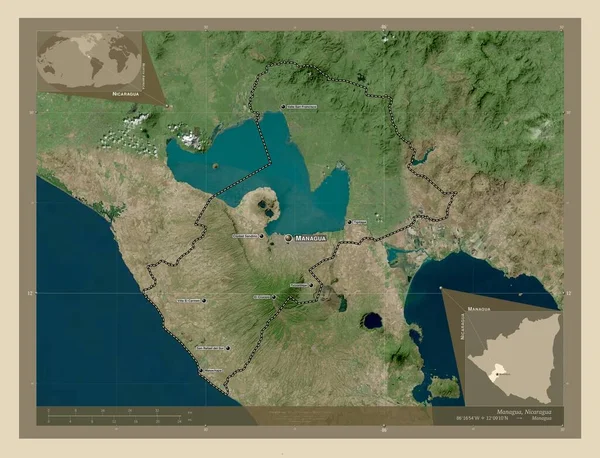
Managua, department of Nicaragua. High resolution satellite map. Locations of major cities of the region. Corner auxiliary location maps
Managua Department Nicaragua High Resolution Satellite Map Locations Major Cities — Stock Photo, Image
Managua, department of Nicaragua. High resolution satellite map. Corner auxiliary location maps
Managua Department Nicaragua High Resolution Satellite Map Corner Auxiliary Location — Stock Photo, Image
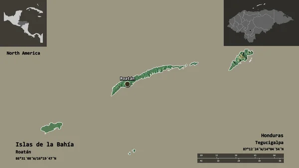
Shape of Islas de la Bahia, department of Honduras, and its capital. Distance scale, previews and labels. Topographic relief map. 3D rendering
Shape Islas Bahia Department Honduras Its Capital Distance Scale Previews — Stock Photo, Image
Magdalena, department of Colombia. High resolution satellite map. Locations and names of major cities of the region. Corner auxiliary location maps
Magdalena Department Colombia High Resolution Satellite Map Locations Names Major — Stock Photo, Image
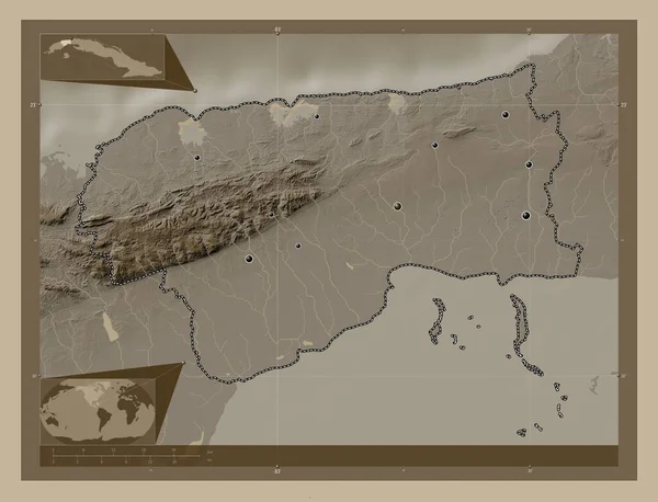
Artemisa, province of Cuba. Elevation map colored in sepia tones with lakes and rivers. Locations of major cities of the region. Corner auxiliary location maps
Artemisa Province Cuba Elevation Map Colored Sepia Tones Lakes Rivers — Stock Photo, Image
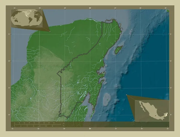
Quintana Roo, state of Mexico. Elevation map colored in wiki style with lakes and rivers. Corner auxiliary location maps
Quintana Roo State Mexico Elevation Map Colored Wiki Style Lakes — Stock Photo, Image
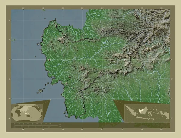
Kalimantan Barat, province of Indonesia. Elevation map colored in wiki style with lakes and rivers. Locations of major cities of the region. Corner auxiliary location maps
Kalimantan Barat Province Indonesia Elevation Map Colored Wiki Style Lakes — Stock Photo, Image
Sinoe, county of Liberia. Elevation map colored in wiki style with lakes and rivers. Locations and names of major cities of the region. Corner auxiliary location maps
Sinoe County Liberia Elevation Map Colored Wiki Style Lakes Rivers — Stock Photo, Image
Map of Esmeraldas. Ecuador.
Map of Esmeraldas. Ecuador. — Stock Photo, Image
Kalimantan Barat, province of Indonesia. Elevation map colored in wiki style with lakes and rivers. Locations and names of major cities of the region. Corner auxiliary location maps
Kalimantan Barat Province Indonesia Elevation Map Colored Wiki Style Lakes — Stock Photo, Image
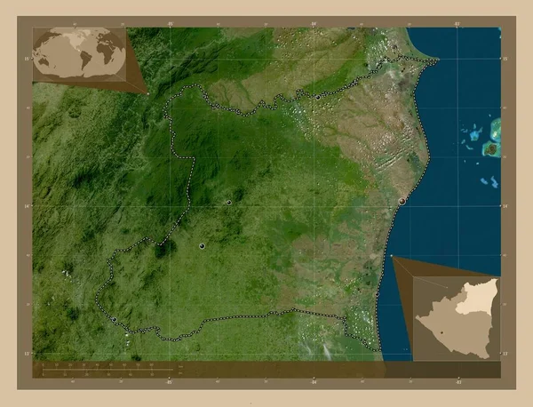
Atlantico Norte, autonomous region of Nicaragua. Low resolution satellite map. Corner auxiliary location maps
Atlantico Norte Autonomous Region Nicaragua Low Resolution Satellite Map Corner — Stock Photo, Image
Central, region of Ghana. Solid color shape. Locations of major cities of the region. Corner auxiliary location maps
Central Region Ghana Solid Color Shape Locations Major Cities Region — Stock Photo, Image
Shape of Santiago, province of Dominican Republic, and its capital. Distance scale, previews and labels. Satellite imagery. 3D rendering
Shape Santiago Province Dominican Republic Its Capital Distance Scale Previews — Stock Photo, Image
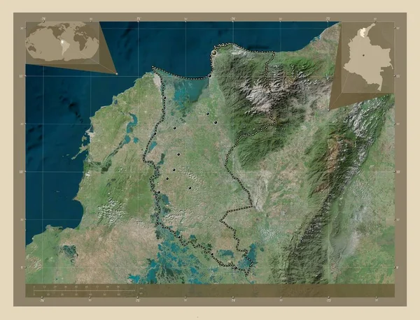
Magdalena, department of Colombia. High resolution satellite map. Locations of major cities of the region. Corner auxiliary location maps
Magdalena Department Colombia High Resolution Satellite Map Locations Major Cities — Stock Photo, Image
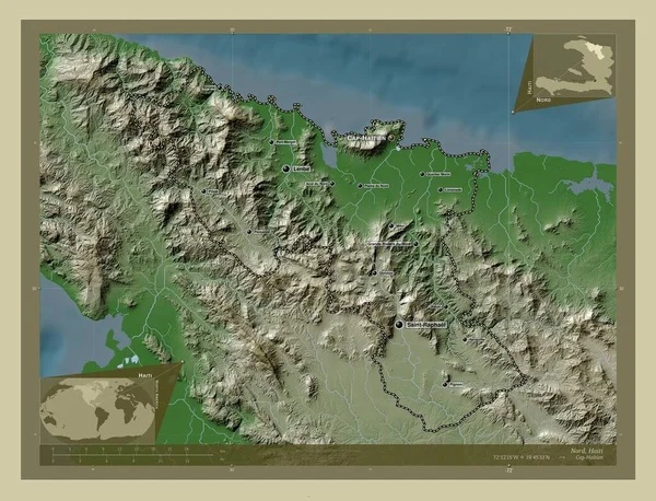
Nord, department of Haiti. Elevation map colored in wiki style with lakes and rivers. Locations and names of major cities of the region. Corner auxiliary location maps
Nord Department Haiti Elevation Map Colored Wiki Style Lakes Rivers — Stock Photo, Image
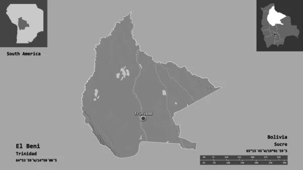
Shape of El Beni, department of Bolivia, and its capital. Distance scale, previews and labels. Bilevel elevation map. 3D rendering
Shape Beni Department Bolivia Its Capital Distance Scale Previews Labels — Stock Photo, Image
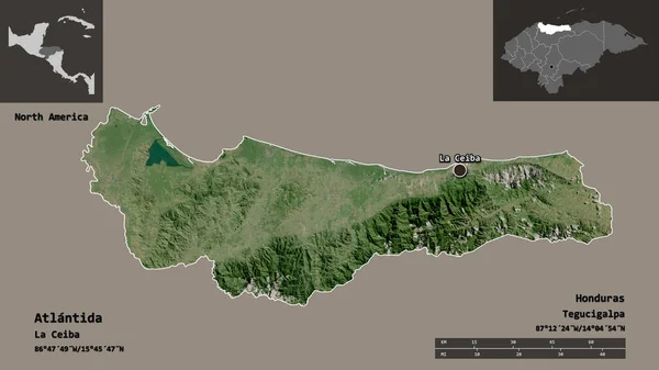
Shape of Atlantida, department of Honduras, with its capital isolated on solid background. Distance scale, region preview and labels. Satellite imagery. 3D rendering
Shape Atlantida Department Honduras Its Capital Isolated Solid Background Distance — Stock Photo, Image
Central, region of Ghana. Solid color shape. Corner auxiliary location maps
Central Region Ghana Solid Color Shape Corner Auxiliary Location Maps — Stock Photo, Image
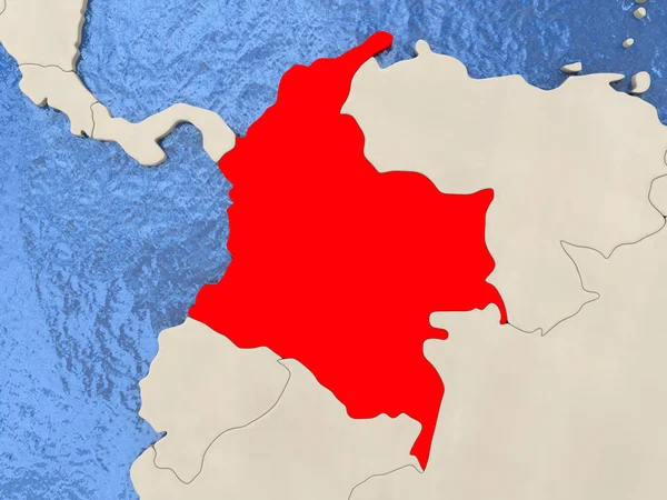
Colombia on map
Colombia on map — Stock Photo, Image
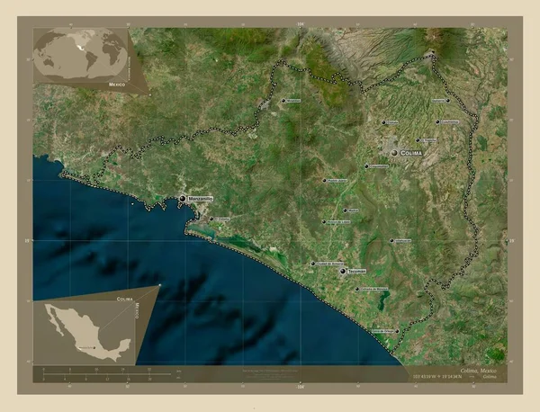
Colima, state of Mexico. High resolution satellite map. Locations and names of major cities of the region. Corner auxiliary location maps
Colima State Mexico High Resolution Satellite Map Locations Names Major — Stock Photo, Image
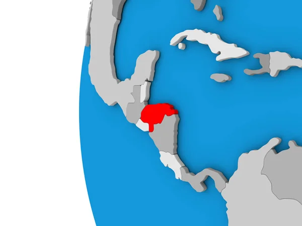
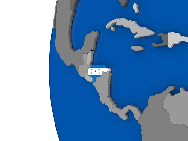
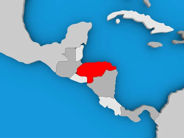
Honduras on globe
Honduras on globe — Stock Photo, Image
Shape of Zajecarski, district of Serbia, with its capital isolated on solid background. Distance scale, region preview and labels. Satellite imagery. 3D rendering
Shape Zajecarski District Serbia Its Capital Isolated Solid Background Distance — Stock Photo, Image
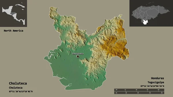
Shape of Choluteca, department of Honduras, and its capital. Distance scale, previews and labels. Topographic relief map. 3D rendering
Shape Choluteca Department Honduras Its Capital Distance Scale Previews Labels — Stock Photo, Image
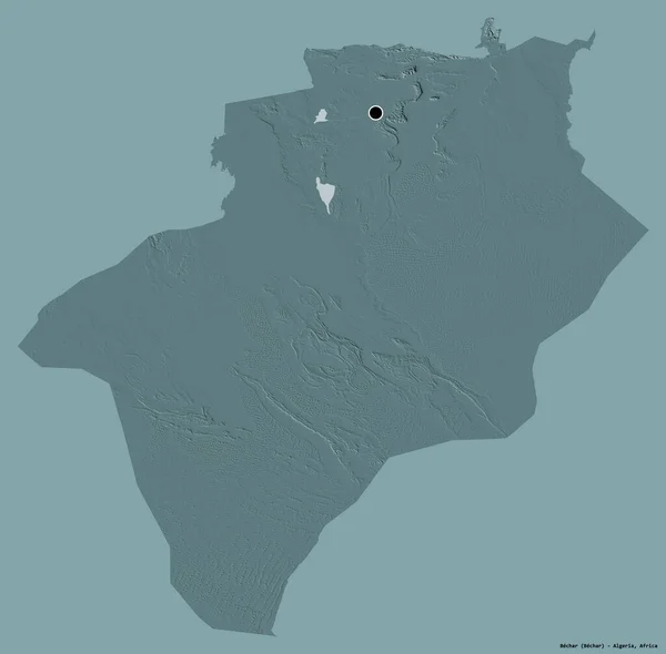
Shape of Bechar, province of Algeria, with its capital isolated on a solid color background. Colored elevation map. 3D rendering
Shape Bechar Province Algeria Its Capital Isolated Solid Color Background — Stock Photo, Image
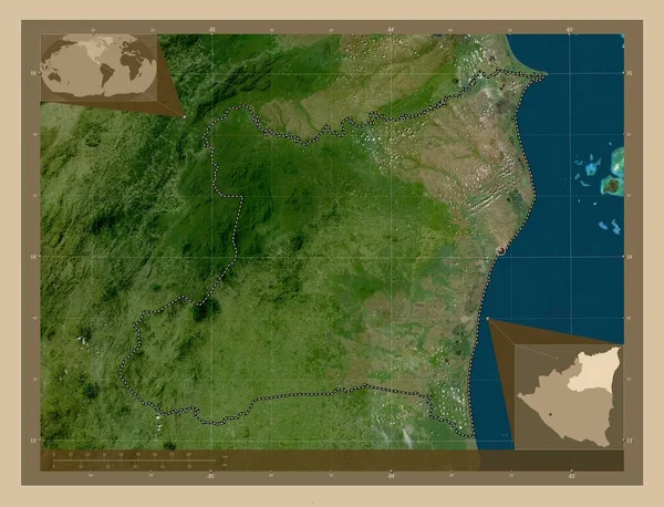
Honduras on globe
Honduras on globe — Stock Photo, Image
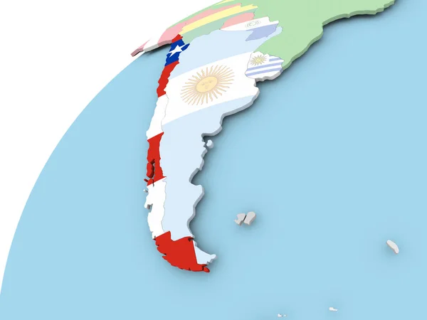
Chile on globe with flag
Chile on globe with flag — Stock Photo, Image
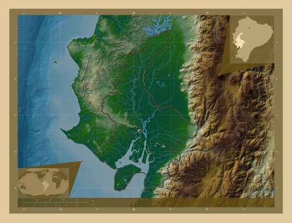
Guayas, province of Ecuador. Colored elevation map with lakes and rivers. Corner auxiliary location maps
Guayas Province Ecuador Colored Elevation Map Lakes Rivers Corner Auxiliary — Stock Photo, Image
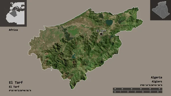
Shape of El Tarf, province of Algeria, and its capital. Distance scale, previews and labels. Satellite imagery. 3D rendering
Shape Tarf Province Algeria Its Capital Distance Scale Previews Labels — Stock Photo, Image
Saint James, parish of Jamaica. Elevation map colored in wiki style with lakes and rivers. Locations and names of major cities of the region. Corner auxiliary location maps
Saint James Parish Jamaica Elevation Map Colored Wiki Style Lakes — Stock Photo, Image
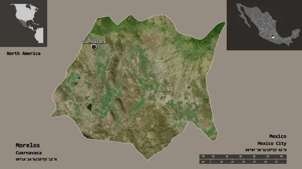
Shape of Morelos, state of Mexico, and its capital. Distance scale, previews and labels. Satellite imagery. 3D rendering
Shape Morelos State Mexico Its Capital Distance Scale Previews Labels — Stock Photo, Image
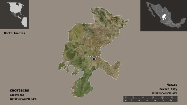
Shape of Zacatecas, state of Mexico, and its capital. Distance scale, previews and labels. Satellite imagery. 3D rendering
Shape Zacatecas State Mexico Its Capital Distance Scale Previews Labels — Stock Photo, Image
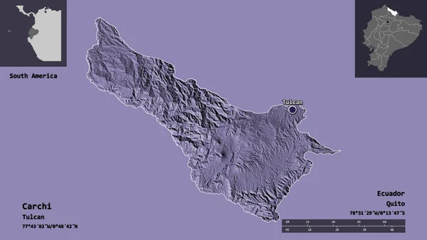
Shape of Carchi, province of Ecuador, and its capital. Distance scale, previews and labels. Colored elevation map. 3D rendering
Shape Carchi Province Ecuador Its Capital Distance Scale Previews Labels — Stock Photo, Image
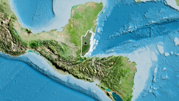
Close-up of the Belize border area highlighting with a dark overlay on a satellite map. Capital point. Glow around the country shape.
Close Belize Border Area Highlighting Dark Overlay Satellite Map Capital — Stock Photo, Image
Atlantico Norte, autonomous region of Nicaragua. Low resolution satellite map. Locations of major cities of the region. Corner auxiliary location maps
Atlantico Norte Autonomous Region Nicaragua Low Resolution Satellite Map Locations — Stock Photo, Image
Leon, department of Nicaragua. High resolution satellite map. Locations and names of major cities of the region. Corner auxiliary location maps
Leon Department Nicaragua High Resolution Satellite Map Locations Names Major — Stock Photo, Image
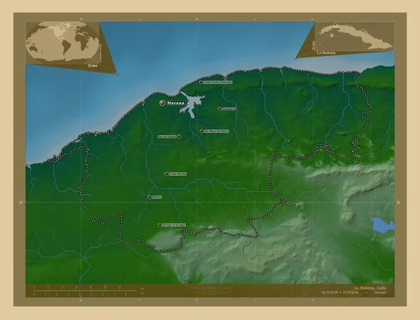
La Habana, province of Cuba. Colored elevation map with lakes and rivers. Locations and names of major cities of the region. Corner auxiliary location maps
Habana Province Cuba Colored Elevation Map Lakes Rivers Locations Names — Stock Photo, Image
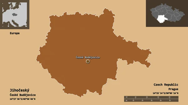
Shape of Jihocesky, region of Czech Republic, and its capital. Distance scale, previews and labels. Composition of patterned textures. 3D rendering
Shape Jihocesky Region Czech Republic Its Capital Distance Scale Previews — Stock Photo, Image
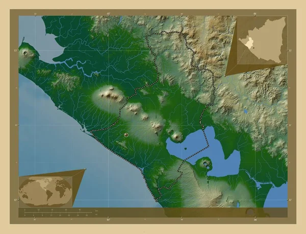
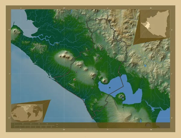
Leon, department of Nicaragua. Colored elevation map with lakes and rivers. Corner auxiliary location maps
Leon Department Nicaragua Colored Elevation Map Lakes Rivers Corner Auxiliary — Stock Photo, Image
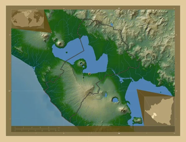
Managua, department of Nicaragua. Colored elevation map with lakes and rivers. Corner auxiliary location maps
Managua Department Nicaragua Colored Elevation Map Lakes Rivers Corner Auxiliary — Stock Photo, Image
Map of worlds. Venezuela.
Map of worlds. Venezuela. — Stock Photo, Image
Shape of El Progreso, department of Guatemala, with its capital isolated on solid background. Distance scale, region preview and labels. Satellite imagery. 3D rendering
Shape Progreso Department Guatemala Its Capital Isolated Solid Background Distance — Stock Photo, Image
Managua, department of Nicaragua. High resolution satellite map. Locations and names of major cities of the region. Corner auxiliary location maps
Managua Department Nicaragua High Resolution Satellite Map Locations Names Major — Stock Photo, Image
Shape of Chimborazo, province of Ecuador, and its capital. Distance scale, previews and labels. Composition of patterned textures. 3D rendering
Shape Chimborazo Province Ecuador Its Capital Distance Scale Previews Labels — Stock Photo, Image
Lampung, province of Indonesia. Low resolution satellite map. Locations and names of major cities of the region. Corner auxiliary location maps
Lampung Province Indonesia Low Resolution Satellite Map Locations Names Major — Stock Photo, Image
Shape of La Libertad, department of El Salvador, and its capital. Distance scale, previews and labels. Satellite imagery. 3D rendering
Shape Libertad Department Salvador Its Capital Distance Scale Previews Labels — Stock Photo, Image
Leon, department of Nicaragua. Colored elevation map with lakes and rivers. Locations of major cities of the region. Corner auxiliary location maps
Leon Department Nicaragua Colored Elevation Map Lakes Rivers Locations Major — Stock Photo, Image
Nord, department of Haiti. Colored elevation map with lakes and rivers. Locations and names of major cities of the region. Corner auxiliary location maps
Nord Department Haiti Colored Elevation Map Lakes Rivers Locations Names — Stock Photo, Image
Cienfuegos, province of Cuba. Elevation map colored in wiki style with lakes and rivers. Locations and names of major cities of the region. Corner auxiliary location maps
Cienfuegos Province Cuba Elevation Map Colored Wiki Style Lakes Rivers — Stock Photo, Image
Colombia with flag on globe
Colombia with flag on globe — Stock Photo, Image
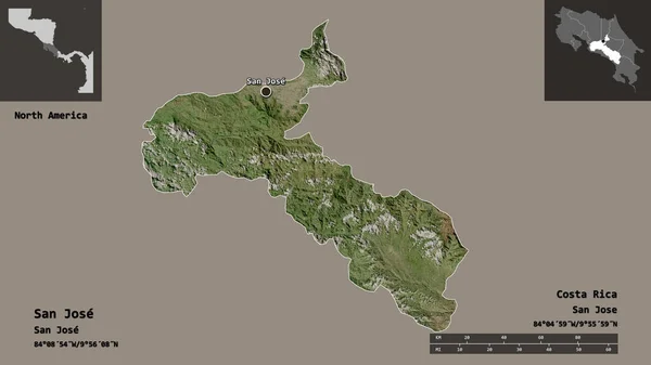
Shape of San Jose, province of Costa Rica, and its capital. Distance scale, previews and labels. Satellite imagery. 3D rendering
Shape San Jose Province Costa Rica Its Capital Distance Scale — Stock Photo, Image
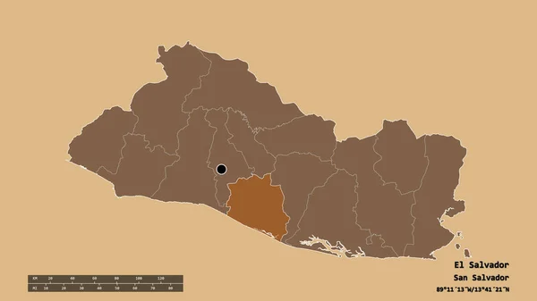
Desaturated shape of El Salvador with its capital, main regional division and the separated La Paz area. Labels. Composition of patterned textures. 3D rendering
Desaturated Shape Salvador Its Capital Main Regional Division Separated Paz — Stock Photo, Image
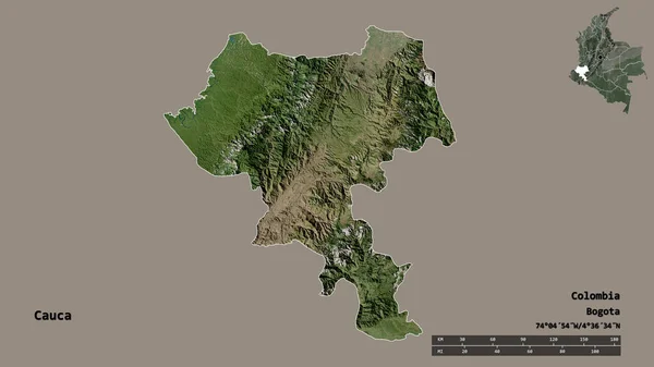
Shape of Cauca, department of Colombia, with its capital isolated on solid background. Distance scale, region preview and labels. Satellite imagery. 3D rendering
Shape Cauca Department Colombia Its Capital Isolated Solid Background Distance — Stock Photo, Image
Shape of Jalisco, state of Mexico, and its capital. Distance scale, previews and labels. Satellite imagery. 3D rendering
Shape Jalisco State Mexico Its Capital Distance Scale Previews Labels — Stock Photo, Image
Map of Honduras
Map of Honduras — Stock Photo, Image
Map of Honduras
Map of Honduras — Stock Photo, Image
Map of Honduras
Map of Honduras — Stock Photo, Image
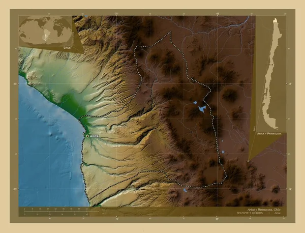
Arica y Parinacota, region of Chile. Colored elevation map with lakes and rivers. Locations and names of major cities of the region. Corner auxiliary location maps
Arica Parinacota Region Chile Colored Elevation Map Lakes Rivers Locations — Stock Photo, Image
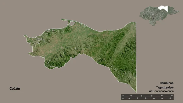
Shape of Colon, department of Honduras, with its capital isolated on solid background. Distance scale, region preview and labels. Satellite imagery. 3D rendering
Shape Colon Department Honduras Its Capital Isolated Solid Background Distance — Stock Photo, Image
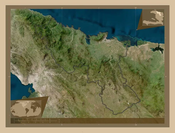
Nord, department of Haiti. Low resolution satellite map. Corner auxiliary location maps
Nord Department Haiti Low Resolution Satellite Map Corner Auxiliary Location — Stock Photo, Image
Camaguey, province of Cuba. Elevation map colored in wiki style with lakes and rivers. Locations of major cities of the region. Corner auxiliary location maps
Camaguey Province Cuba Elevation Map Colored Wiki Style Lakes Rivers — Stock Photo, Image
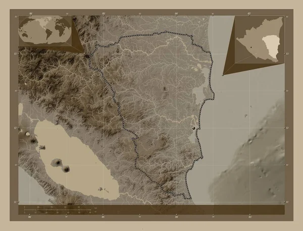
Atlantico Sur, autonomous region of Nicaragua. Elevation map colored in sepia tones with lakes and rivers. Corner auxiliary location maps
Atlantico Sur Autonomous Region Nicaragua Elevation Map Colored Sepia Tones — Stock Photo, Image
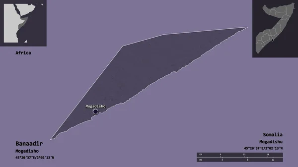
Shape of Banaadir, region of Somalia, and its capital. Distance scale, previews and labels. Colored elevation map. 3D rendering
Shape Banaadir Region Somalia Its Capital Distance Scale Previews Labels — Stock Photo, Image
Kalimantan Barat, province of Indonesia. Elevation map colored in sepia tones with lakes and rivers. Locations and names of major cities of the region. Corner auxiliary location maps
Kalimantan Barat Province Indonesia Elevation Map Colored Sepia Tones Lakes — Stock Photo, Image
Shape of Atlantida, department of Honduras, and its capital. Distance scale, previews and labels. Satellite imagery. 3D rendering
Shape Atlantida Department Honduras Its Capital Distance Scale Previews Labels — Stock Photo, Image
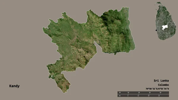
Shape of Kandy, district of Sri Lanka, with its capital isolated on solid background. Distance scale, region preview and labels. Satellite imagery. 3D rendering
Shape Kandy District Sri Lanka Its Capital Isolated Solid Background — Stock Photo, Image
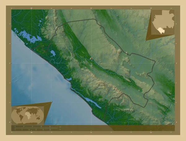
Nyanga, province of Gabon. Colored elevation map with lakes and rivers. Locations of major cities of the region. Corner auxiliary location maps
Nyanga Province Gabon Colored Elevation Map Lakes Rivers Locations Major — Stock Photo, Image
Nord, department of Haiti. Low resolution satellite map. Locations of major cities of the region. Corner auxiliary location maps
Nord Department Haiti Low Resolution Satellite Map Locations Major Cities — Stock Photo, Image
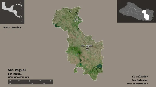
Shape of San Miguel, department of El Salvador, and its capital. Distance scale, previews and labels. Satellite imagery. 3D rendering
Shape San Miguel Department Salvador Its Capital Distance Scale Previews — Stock Photo, Image
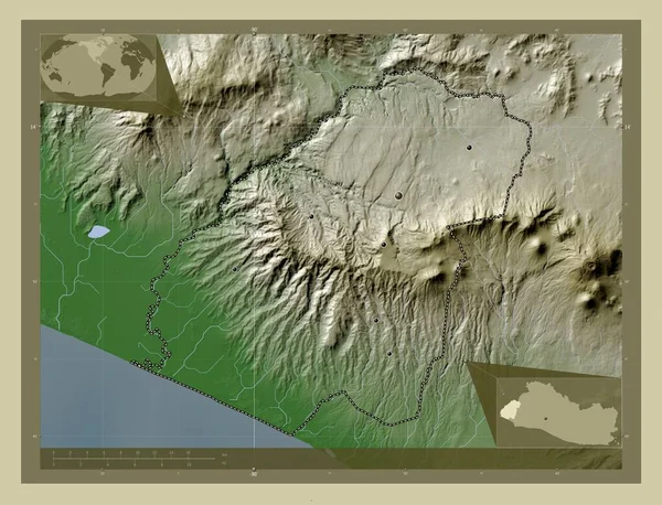
Ahuachapan, department of El Salvador. Elevation map colored in wiki style with lakes and rivers. Locations of major cities of the region. Corner auxiliary location maps
Ahuachapan Department Salvador Elevation Map Colored Wiki Style Lakes Rivers — Stock Photo, Image
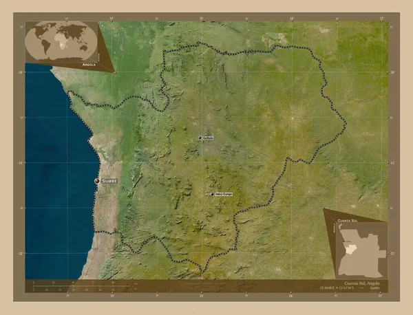
Cuanza Sul, province of Angola. Low resolution satellite map. Locations and names of major cities of the region. Corner auxiliary location maps
Cuanza Sul Province Angola Low Resolution Satellite Map Locations Names — Stock Photo, Image
Rivas, department of Nicaragua. Colored elevation map with lakes and rivers. Corner auxiliary location maps
Rivas Department Nicaragua Colored Elevation Map Lakes Rivers Corner Auxiliary — Stock Photo, Image
Map of Mexico
Map of Mexico — Stock Photo, Image

Explore El Salvador Map Images for Your Projects

When it comes to finding the perfect visual for your project, you want something that not only captures the attention of your audience but also adds value to your content. That's where our collection of El Salvador map images comes in. Whether you're working on an editorial piece, a presentation, or a website, these stunning images are sure to enhance the overall visual appeal while providing relevant information about the country's geography.

The Beauty of El Salvador's Maps in JPEG Format

Our collection of El Salvador map images features high-quality JPEG files, ensuring that you have the utmost clarity and detail. These images are available for you to download and use in a wide range of projects, including travel brochures, educational materials, and business presentations. The JPEG format is perfect for displaying El Salvador's map on websites and social media posts, allowing you to showcase the country's stunning terrain and landmarks to your audience.

AI and EPS Files for Versatility and Flexibility

If you're looking for more flexibility and customization options, our collection also includes vector files in AI and EPS formats. These files are infinitely scalable, meaning you can resize them without losing any quality. This makes them ideal for large-scale prints such as banners and billboards. Additionally, AI and EPS files allow you to edit and modify the map according to your specific needs, whether it's highlighting certain regions or adding additional information.

Where to Use El Salvador Map Images

The potential applications for our El Salvador map images are endless. For travel agencies and tourism websites, these images can be used to showcase the country's top attractions and help potential visitors navigate their way through El Salvador. In educational materials, including textbooks and presentations, the maps can provide valuable information for students studying the country's geography, history, or culture. Businesses looking to expand into El Salvador can use these maps to visualize their market potential and present their growth strategies.

How to Make the Most of El Salvador Map Images

When using El Salvador map images, it's crucial to consider the overall design and purpose of your project. Ensure that the map aligns with your content's theme and effectively communicates the intended message. If you're using the map for informational purposes, consider adding labels to highlight key cities, landmarks, or regions. For a more artistic approach, consider blending the map with vibrant illustrations or overlaying it with text to create a visually stunning composition. Remember, the goal is to captivate your audience while providing valuable information about El Salvador.

In conclusion, our collection of El Salvador map images offers a range of options to suit your specific project needs. From stunning JPEG files for digital platforms to versatile AI and EPS formats for large-scale prints, these images are sure to elevate your content. Use them wisely and creatively, taking into account the design, purpose, and target audience of your project. Let these visuals guide your audience through the beauty and diversity of El Salvador while enhancing the visual appeal and impact of your work.