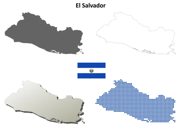
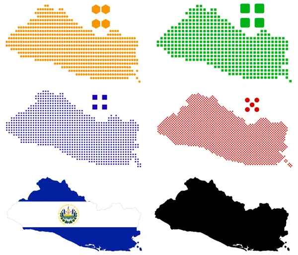
El Salvador blank detailed outline map set
El Salvador blank detailed outline map set — Stock Vector
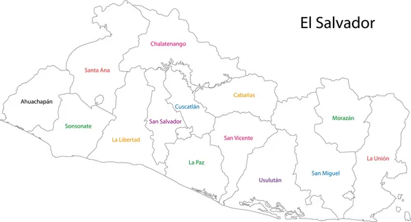
Outline El Salvador map
Outline El Salvador map — Stock Vector
El Salvador Political Map
El Salvador Political Map — Stock Vector
El Salvador
El Salvador — Stock Vector
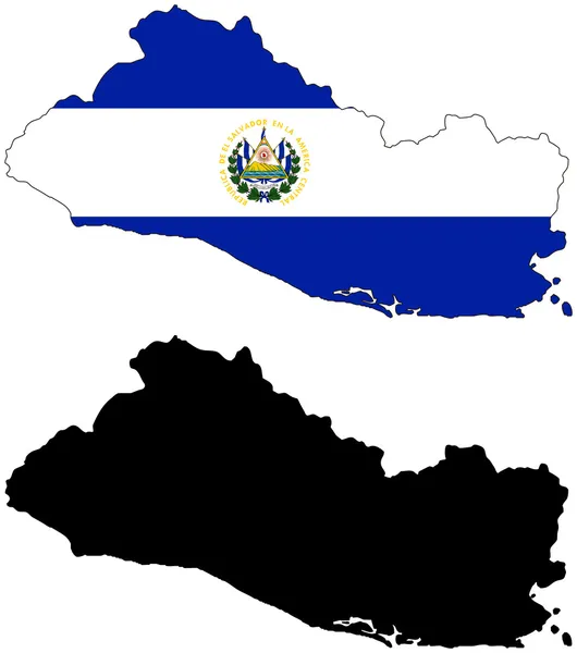
El Salvador map
El Salvador map — Stock Vector
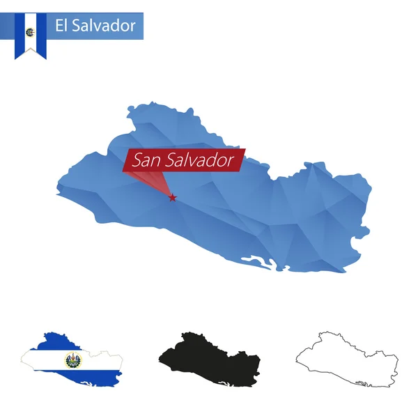
El Salvador blue Low Poly map with capital San Salvador.
El Salvador blue Low Poly map with capital San Salvador. — Stock Vector
Map ElS alvador
Map ElS alvador — Stock Vector
Pixel map of El Salvador
Pixel map of El Salvador — Stock Vector
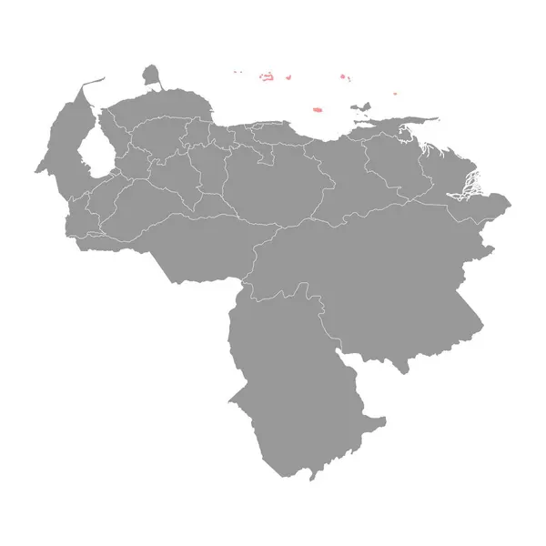
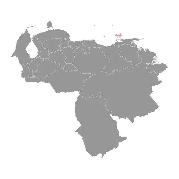
Dependencias Federales map, administrative division of Venezuela.
Dependencias Federales Map Administrative Division Venezuela — Stock Vector
Colorful Ecuador map
Colorful Ecuador map — Stock Vector
The card can be used immediately and is optimized for printing and use in digital media. The color mode is RGB.
Card Can Used Immediately Optimized Printing Use Digital Media Color — Stock Vector
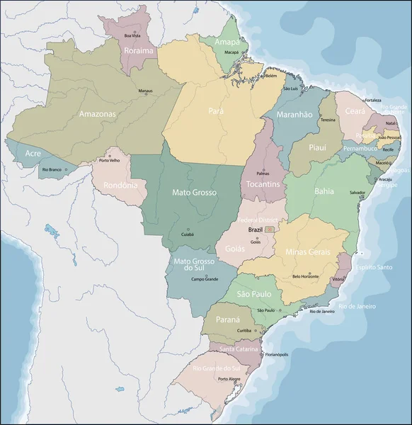
Map of Brazil
Map of Brazil — Stock Vector
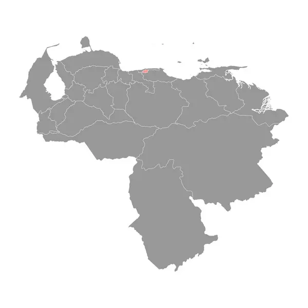
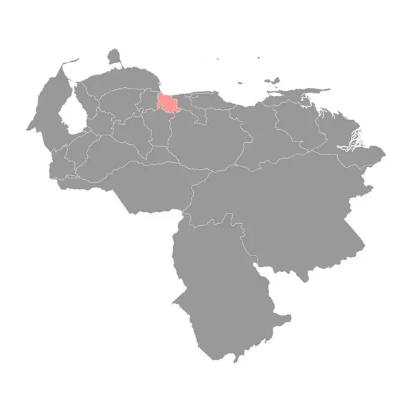
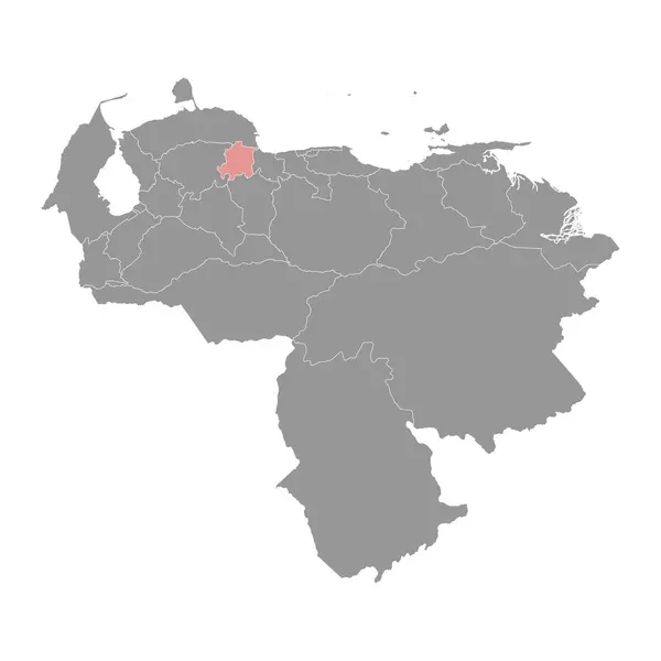
Distrito Capital map, administrative division of Venezuela.
Distrito Capital Map Administrative Division Venezuela — Stock Vector
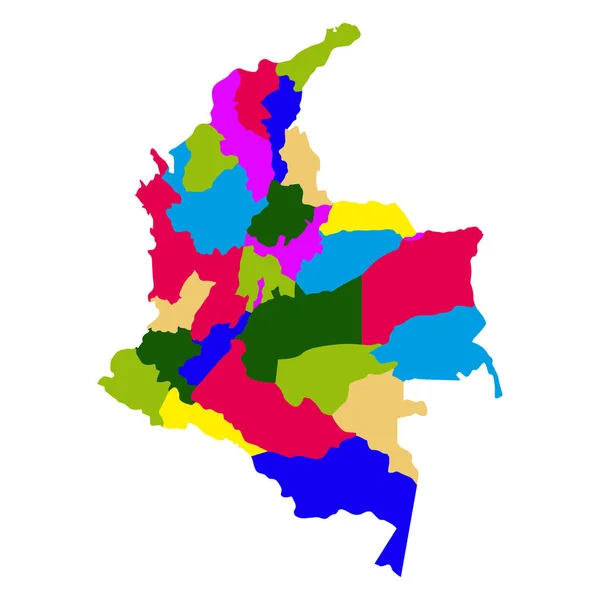
Political map of Colombia
Political map of Colombia — Stock Vector
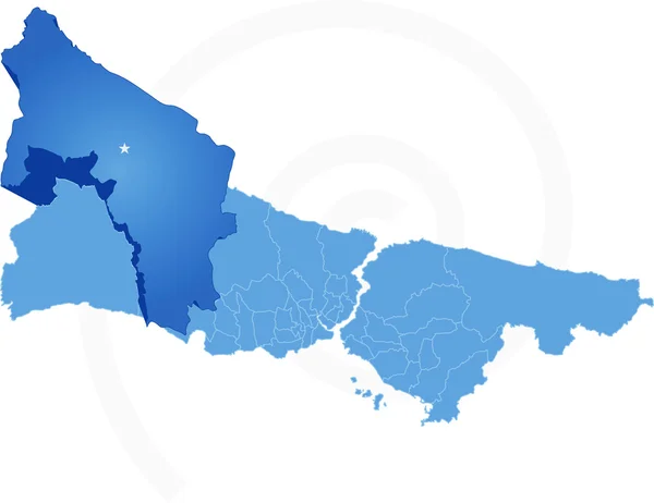
Istanbul Map with administrative districts where Catalca is pull
Istanbul Map with administrative districts where Catalca is pull — Stock Vector
Map of Ecuador
Map of Ecuador — Stock Vector
Map of America with highlighted Colombia map
Map of America with highlighted Colombia map — Stock Vector
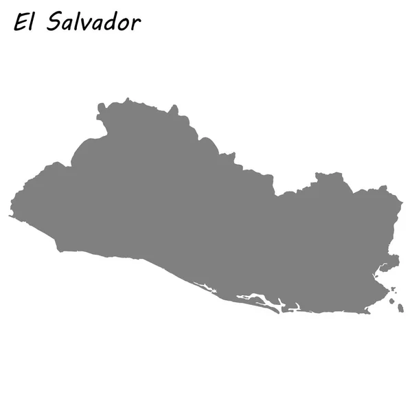
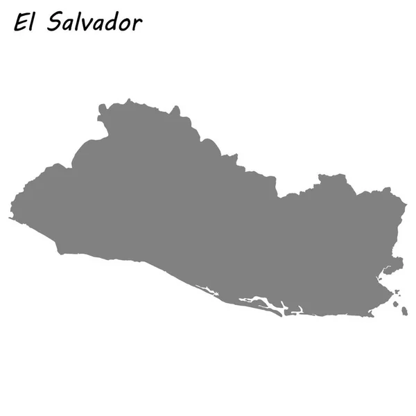
High quality map of El Salvador
High Quality Map Salvador — Stock Vector
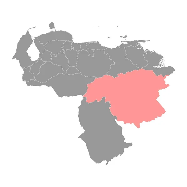
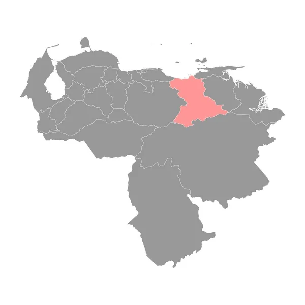
Bolivar state map, administrative division of Venezuela.
Bolivar State Map Administrative Division Venezuela — Stock Vector
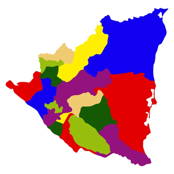
Political map of Nicaragua
Political map of Nicaragua — Stock Vector
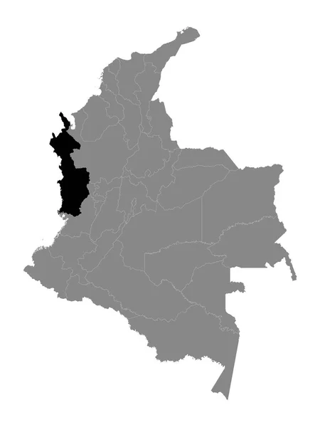
Black Location Map of the Colombian Department of Choc within Grey Map of Colombia
Black Location Map Colombian Department Choc Grey Map Colombia — Stock Vector
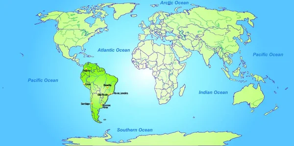
South America Map With Capitals
South America Map With Capitals — Stock Vector
Spildra island (Kingdom of Norway) map vector illustration, scribble sketch Spitta map
Spildra Island Kingdom Norway Map Vector Illustration Scribble Sketch Spitta — Stock Vector
High quality map of El Salvador . Vector illustration
High Quality Map Salvador Vector Illustration — Stock Vector
Black Location Map of the Guyanese Region of Barima-Waini within Grey Map of Guyana
Black Location Map Guyanese Region Barima Waini Grey Map Guyana — Stock Vector
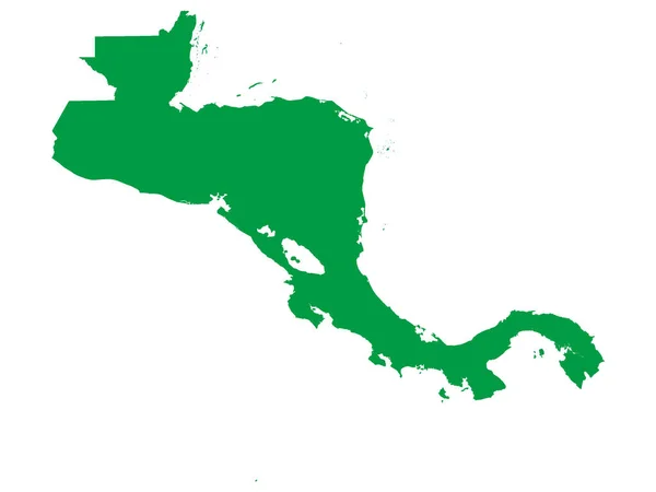
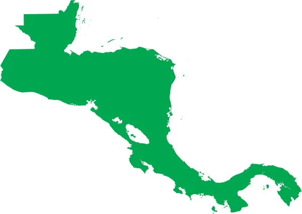
Flat Green Map of Central America on White Background without National Country Borders
Flat Green Map Central America White Background National Country Borders — Stock Vector
Nueva Esparta state map, administrative division of Venezuela.
Nueva Esparta State Map Administrative Division Venezuela — Stock Vector
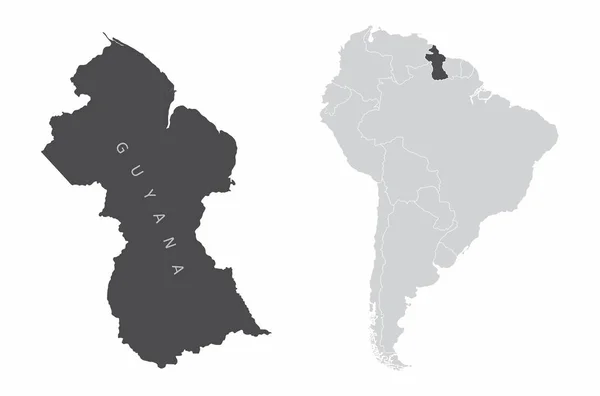
Guyana South America
Guyana South America — Stock Vector
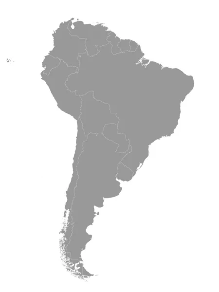
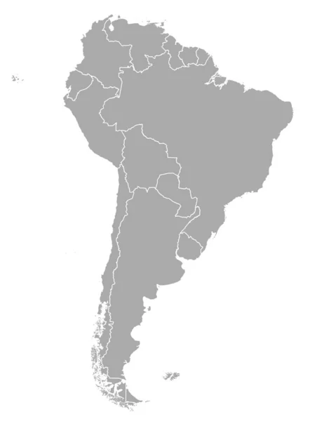
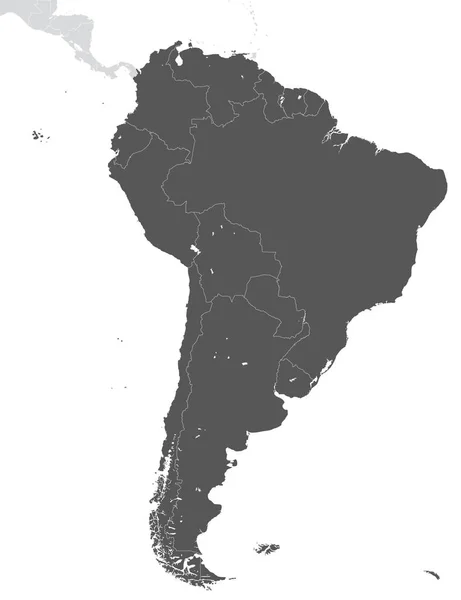
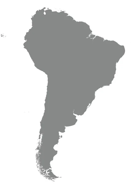
Gray Flat Vector Map of South America With Country Borders on White Background
Gray Flat Vector Map South America Country Borders White Background — Stock Vector
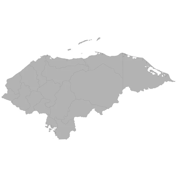
High quality map of Honduras with borders of the regions on white backgroun
High Quality Map Honduras Borders Regions White Backgroun — Stock Vector
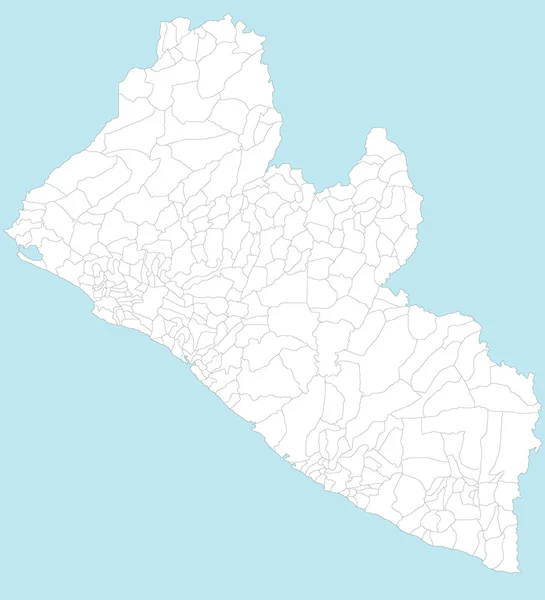
Map of Liberia
Map of Liberia — Stock Vector
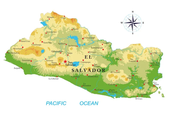
El Salvador highly detailed physical map
Salvador Highly Detailed Physical Map — Stock Vector
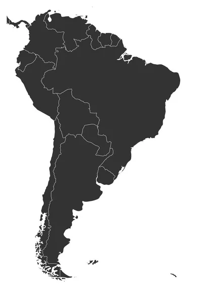
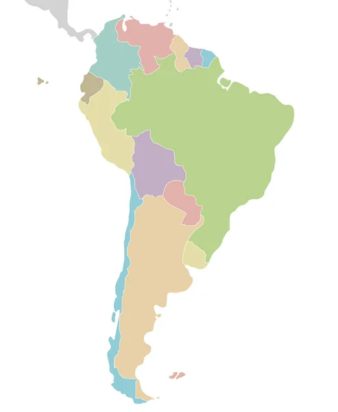
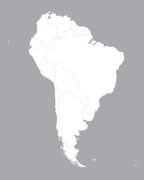
Blank political map of South America. Simple flat vector map in grey
Blank political map of South America. Simple flat vector map in grey — Stock Vector
Map of South America with indication of Ecuador
Map of South America with indication of Ecuador — Stock Vector
Car icon. For web, business, finance and communication. Vector Illustration.
Car Icon Web Business Finance Communication Vector Illustration — Stock Vector
Map of Argentina
Map of Argentina — Stock Vector
Venezuela,
Venezuela, — Stock Vector
South America Blind Map.
South America Blind Map. — Stock Vector
Black location map of Kittitian and Nevisian Saint James Windward parish inside gray map of Saint Kitts and Nevis
Black Location Map Kittitian Nevisian Saint James Windward Parish Gray — Stock Vector
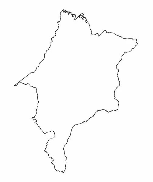
Maranhao State outline map isolated on white background, Brazil
Maranhao State Outline Map Isolated White Background Brazil — Stock Vector
Carabobo state map, administrative division of Venezuela.
Carabobo State Map Administrative Division Venezuela — Stock Vector
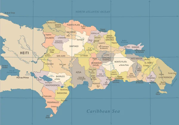
Dominican Republic Map - Vintage Detailed Vector Illustration
Dominican Republic Map - Vintage Detailed Vector Illustration — Stock Vector
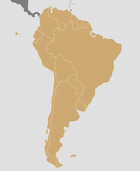
Map of South America
Map South America — Stock Vector
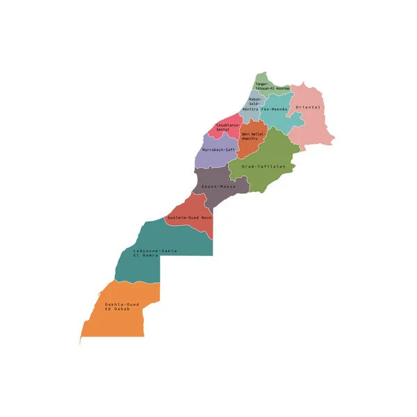
Vector illustration of administrative division map of Morocco. Vector map.
Vector illustration of administrative division map of Morocco. Vector map. — Stock Vector
Political blank South America Map vector illustration isolated on white background. Editable and clearly labeled layers.
Political Blank South America Map Vector Illustration Isolated White Background — Stock Vector
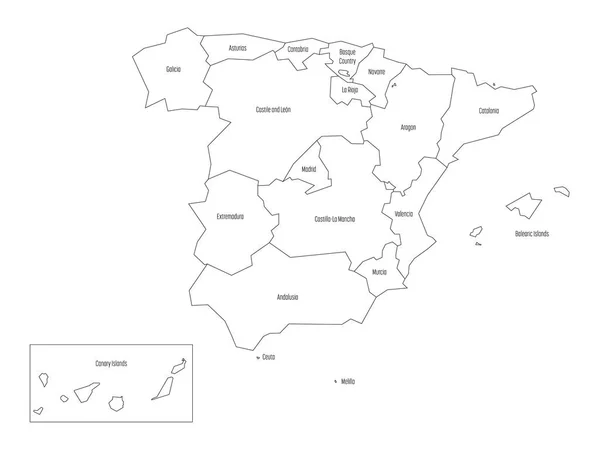
Map of Spain devided to 17 administrative autonomous communities. Simple thin black outline on white background
Map of Spain devided to 17 administrative autonomous communities. Simple thin black outline on white background — Stock Vector
Argentina Map. Black silhouette country map isolated on white background. Black outline on white background. Vector based
Argentina Map Black Silhouette Country Map Isolated White Background Black — Stock Vector
Vargas state map, administrative division of Venezuela.
Vargas State Map Administrative Division Venezuela — Stock Vector
Illustration of the El Salvador map
Illustration Salvador Map — Stock Vector
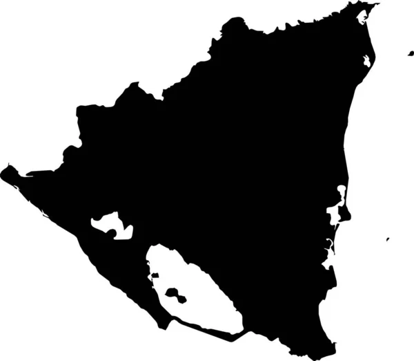
Black vector map of unitary dominant-party presidential constitutional republic of Nicaragua
Black Vector Map Unitary Dominant Party Presidential Constitutional Republic Nicaragua — Stock Vector
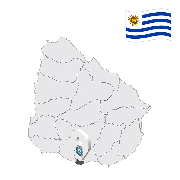
Location Montevideo Department on map Uruguay. 3d location sign similar to the flag of Montevideo Department. Quality map with regions of Uruguay for your design. EPS10
Location Montevideo Department Map Uruguay Location Sign Similar Flag Montevideo — Stock Vector
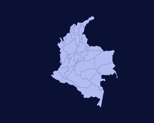
Modern Light Blue Color High Detailed Border Map Of Colombia Isolated on Blue Background Vector
Modern Light Blue Color High Detailed Border Map Colombia Isolated — Stock Vector
Accurate map of Venezuela
Accurate map of Venezuela — Stock Vector
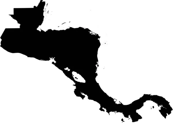
BLACK CMYK color detailed flat stencil map of the region of CENTRAL AMERICA on transparent background
Black Cmyk Color Detailed Flat Stencil Map Region Central America — Stock Vector
Halland county map, province of Sweden. Vector illustration.
Halland County Map Province Sweden Vector Illustration — Stock Vector
Black Location Map of the Colombian Department of Cauca within Grey Map of Colombia
Black Location Map Colombian Department Cauca Grey Map Colombia — Stock Vector
Saint Barthelemy map
Saint Barthelemy map — Stock Vector
Political blank South America Map vector illustration. Editable and clearly labeled layers.
Political Blank South America Map Vector Illustration Editable Clearly Labeled — Stock Vector
Territory of South America continent. White background
Territory South America Continent White Background — Stock Vector
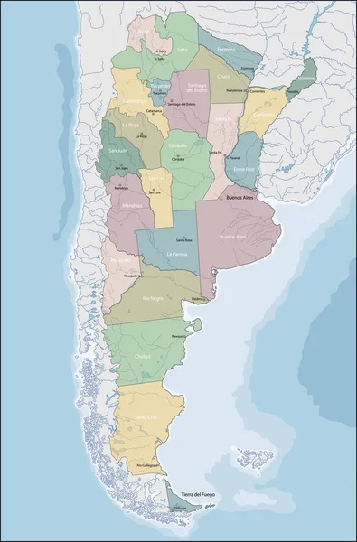
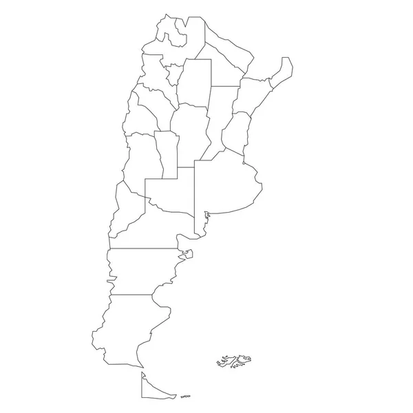
Argentina - map of provinces
Argentina - map of provinces — Stock Vector
Central Region map vecto
Central Region map vecto — Stock Vector
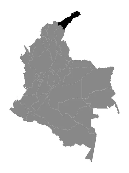
Black Location Map of the Colombian Department of La Guajira within Grey Map of Colombia
Black Location Map Colombian Department Guajira Grey Map Colombia — Stock Vector
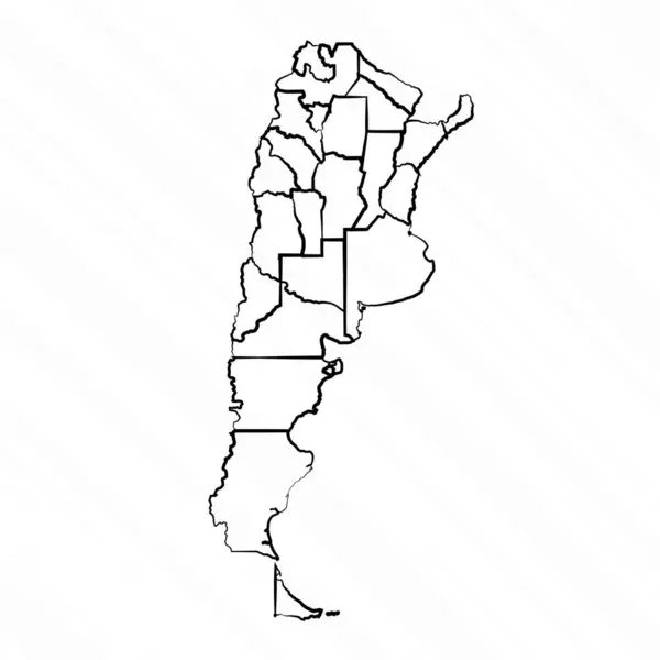
Hand Drawn Argentina Map Illustration
Hand Drawn Argentina Map Illustration — Stock Vector
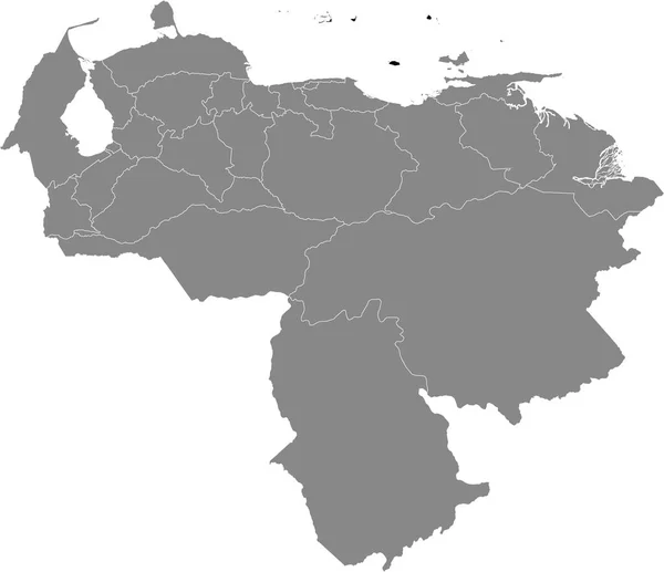
White Blank Flat States Map of the South American Country of Venezuela
White Blank Flat States Map South American Country Venezuela — Stock Vector
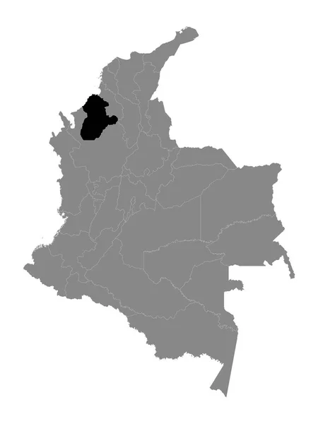
Black Location Map of the Colombian Department of Crdoba within Grey Map of Colombia
Black Location Map Colombian Department Crdoba Grey Map Colombia — Stock Vector
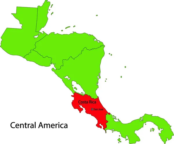
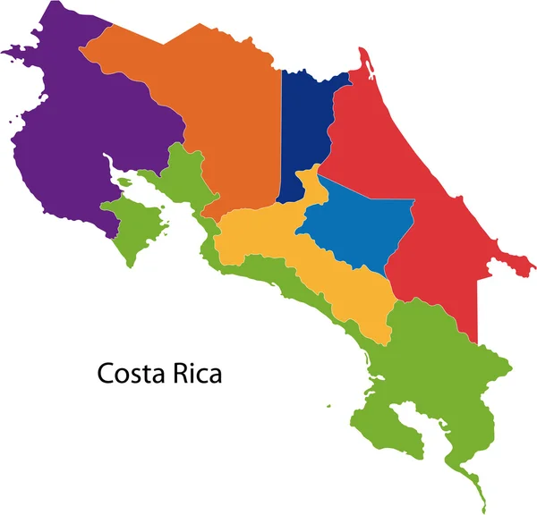
Republic of Costa Rica
Republic of Costa Rica — Stock Vector
Map of Trinidad and Tobago in South America
Map Trinidad Tobago South America — Stock Vector
Territory of South America continent. White background
Territory South America Continent White Background — Stock Vector
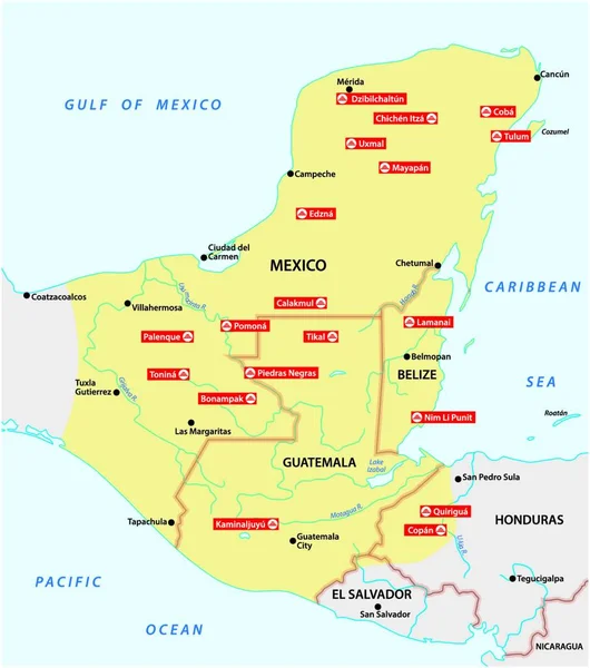
Map of the Mayan Empire with the most important cities in Central America
Map Mayan Empire Most Important Cities Central America — Stock Vector
Isolated vector Illustration. Black on White background. EPS 10 Illustration
Isolated Vector Illustration Black White Background Eps Illustration — Stock Vector
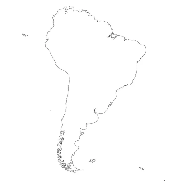
South America thin black outline map. Contour map of continent. Simple flat vector illustration
South America thin black outline map. Contour map of continent. Simple flat vector illustration — Stock Vector
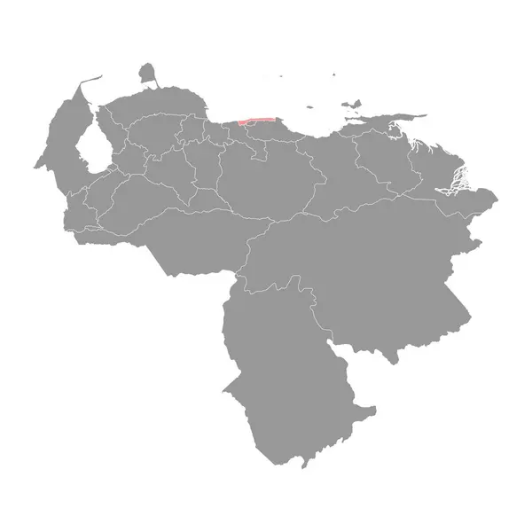
Black Location Map of the Venezuelan Federal Dependencies within Grey Map of Venezuela
Black Location Map Venezuelan Federal Dependencies Grey Map Venezuela — Stock Vector
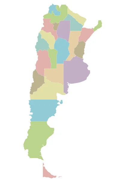
Vector blank map of Argentina with provinces or federated states and administrative divisions. Editable and clearly labeled layers.
Vector Blank Map Argentina Provinces Federated States Administrative Divisions Editable — Stock Vector
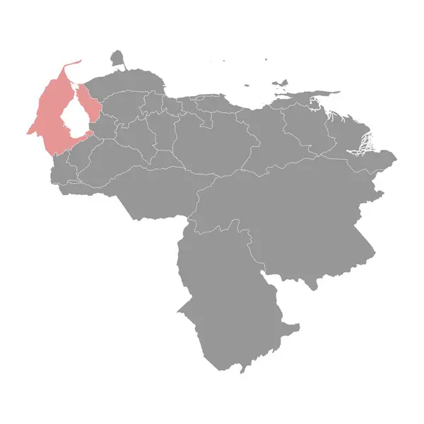
Zulia state map, administrative division of Venezuela.
Zulia State Map Administrative Division Venezuela — Stock Vector
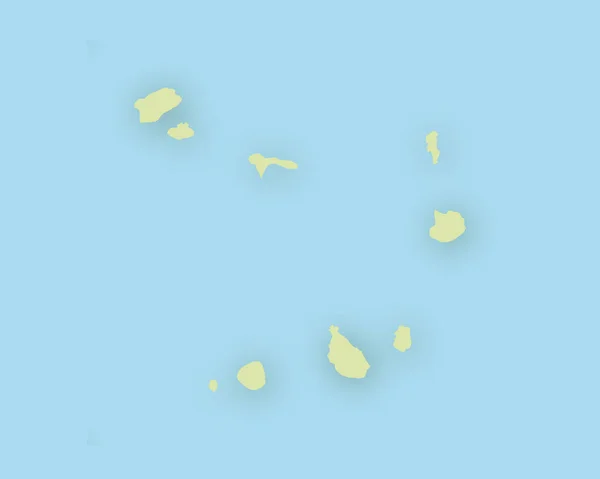
Map of Cape Verde with shadow
Map of Cape Verde with shadow — Stock Vector
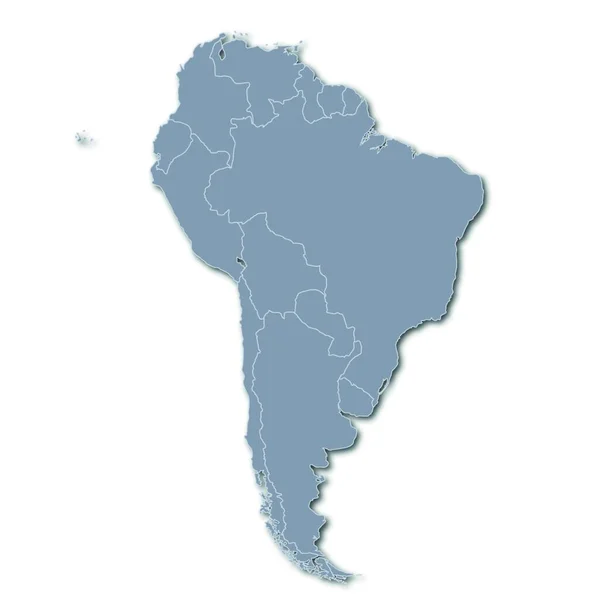
Map of south america
Map South America — Stock Vector
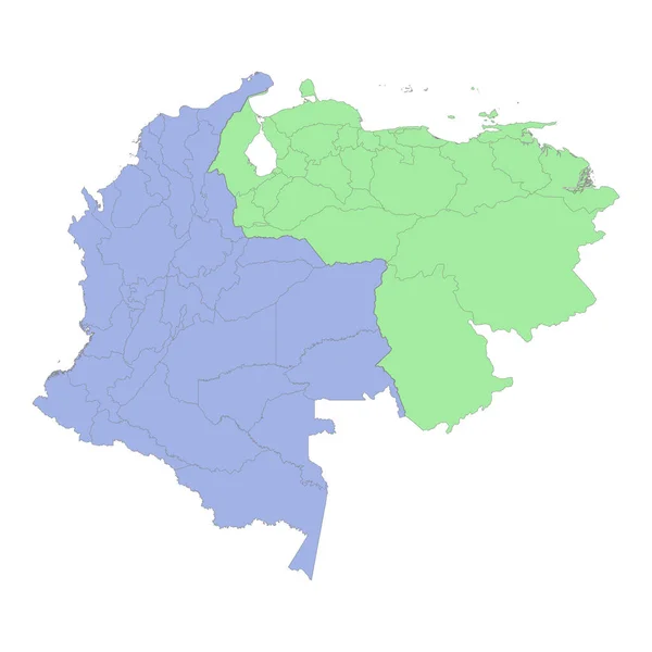
High quality political map of Colombia and Venezuela with borders of the regions or provinces. Vector illustration
High Quality Political Map Colombia Venezuela Borders Regions Provinces Vector — Stock Vector
Black Location Map of the Colombian Department of Magdalena within Grey Map of Colombia
Black Location Map Colombian Department Magdalena Grey Map Colombia — Stock Vector
Central America silhouette map
Central America silhouette map — Stock Vector
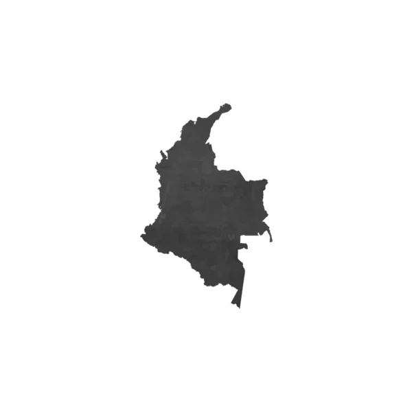
Country Shape Illustration of Colombia
Country Shape Illustration of Colombia — Stock Vector
Argentina Map - Vector Illustration
Argentina Map - Vector Illustration — Stock Vector
White map of South America
White map of South America — Stock Vector
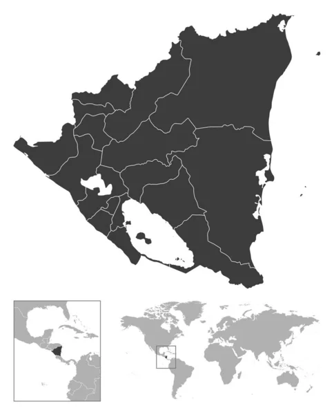
Nicaragua - detailed country outline and location on world map. Vector illustration
Nicaragua Detailed Country Outline Location World Map Vector Illustration — Stock Vector
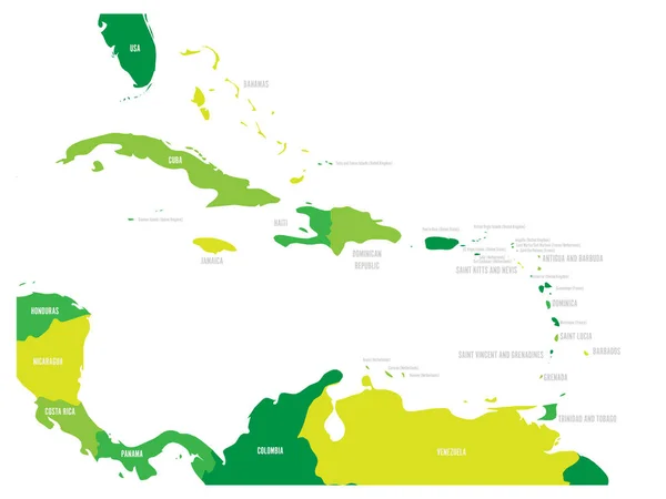
Central America and Caribbean states political map in four shades of green with black country names labels. Simple flat vector illustration
Central America and Caribbean states political map in four shades of green with black country names labels. Simple flat vector illustration — Stock Vector
Bridgetown City (Saint Michael Parish, Barbados island) map vector illustration, scribble sketch City of Bridgetown map
Bridgetown City Saint Michael Parish Barbados Island Map Vector Illustration — Stock Vector
Jigawae map silhouette in nigeria
Jigawae Map Silhouette Nigeria — Stock Vector
Ben Arous Governorate (Governorates of Tunisia, Republic of Tunisia) map vector illustration, scribble sketch Ben Arous map
Ben Arous Governorate (Governorates of Tunisia, Republic of Tunisia) map vector illustration, scribble sketch Ben Arous map — Stock Vector
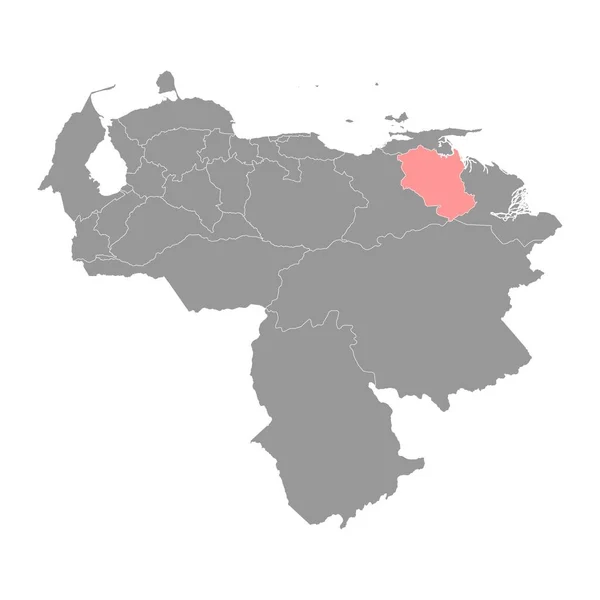
Monagas state map, administrative division of Venezuela.
Monagas State Map Administrative Division Venezuela — Stock Vector
South America map vector. country
South America Map Vector Country — Stock Vector
Anzoategui state map, administrative division of Venezuela.
Anzoategui State Map Administrative Division Venezuela — Stock Vector
South America divided in countries. Isolated map on white background.
South America Divided Countries Isolated Map White Background — Stock Vector
GREEN CMYK color detailed flat stencil map of the region of CENTRAL AMERICA on transparent background
Green Cmyk Color Detailed Flat Stencil Map Region Central America — Stock Vector
Yaracuy state map, administrative division of Venezuela.
Yaracuy State Map Administrative Division Venezuela — Stock Vector
GRAY CMYK color map of SOUTH AMERICA
Gray Cmyk Color Map South America — Stock Vector
Black highlighted location map of the Tunisian Kef governorate inside gray map of the Tunisian Republic
Black Highlighted Location Map Tunisian Kef Governorate Gray Map Tunisian — Stock Vector
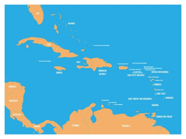
Central America and Carribean states political map. Yellow land with black country names labels on blue sea background. Simple flat vector illustration
Central America and Carribean states political map. Yellow land with black country names labels on blue sea background. Simple flat vector illustration — Stock Vector
Map of south carolina state
Map South Carolina State — Stock Vector
Columbia
Columbia — Stock Vector

Find the Perfect El Salvador Map Vector for Your Project

Are you looking for high-quality vectors of El Salvador's map? You've come to the right place! We offer a vast collection of AI, JPG, and EPS vector files that showcase the beauty and intricacies of El Salvador's geography. Whether you're working on a cartography project, illustrating an article, or designing a presentation, our map vectors will be an excellent asset for you.

The Benefits of El Salvador Map Vectors in Your Project

Using El Salvador Map Vectors in your projects can bring several advantages. First of all, the use of a vector file format promises high-resolution graphics that maintain their quality regardless of their size. Secondly, maps are always relevant visual aids that can add context and information to any project. Furthermore, with our vectors, you'll have the flexibility to customize the colors or other details to match your vision – without any graphic distortion.

How to Choose the Best Vector Images for Your Project

To ensure that you choose the best vector images for your project, consider the following:

  • Project purpose: What is the aim of your project? Is it a science or history project? Is it for educational purposes?
  • Image style: Which style is more appropriate for your project? A traditional or modern map design?
  • File format: What file format will fit your project needs? Do you need a scalable format?

Keeping these factors in mind when choosing your El Salvador Map Vector can help you make an informed and wise decision that's best suited to your project's needs.

Using El Salvador Map Vectors in Your Projects

Our El Salvador Map Vectors are incredibly versatile. They can be used for:

  • Designing presentations, reports, infographics, and educational materials
  • Creating posters, maps, and atlases
  • Designing maps for websites and apps
  • Creating tourist destinations and marketing-related materials

Whatever your project is, our El Salvador Map Vectors can add value to it with their exceptional detail, clarity, and customization options

Conclusion

We provide an extensive collection of high-quality El Salvador Map Vector files that can be used in various projects and formats. These vectors have been designed to help you get your project off the ground with minimal effort. We care for our users and strive to provide a hassle-free and straightforward service that will make your work-life easier, so take a look at our collection and choose the best El Salvador Map Vector for your project.