Somalian Stock Photos

100,000 Somalian pictures are available under a royalty-free license

  • Best Match
  • Fresh
  • Popular
1-100 of 100,000
Scenic view of countryside, selective focus
Scenic View Countryside Selective Focus — Stock Photo, Image
Continent of Africa
Continent of Africa — Stock Photo, Image
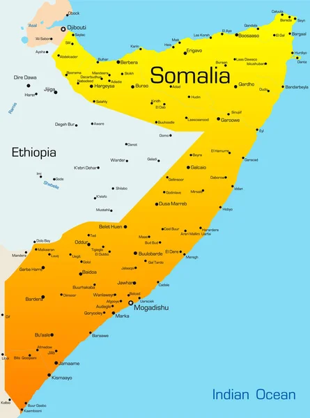
Abstract vector color map of Somalia
Abstract Vector Color Map Somalia — Stock Photo, Image
Continent of Africa
Continent of Africa — Stock Photo, Image
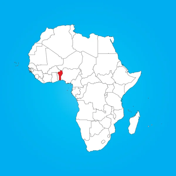
Map of Africa with a selected country of Benin
Map of Africa with a selected country of Benin — Stock Photo, Image
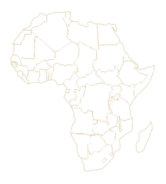
Outline map of Africa and its countries over a pale background
Outline Map Africa Its Countries Pale Background — Stock Photo, Image
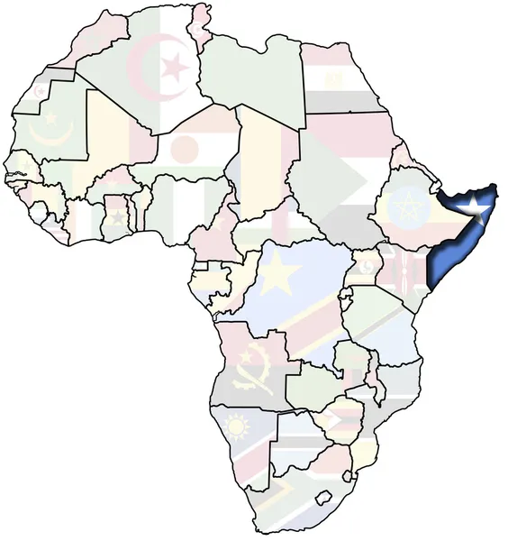
Somalia flag on the map
Somalia Flag Map — Stock Photo, Image
Eritrea on political globe
Eritrea on political globe — Stock Photo, Image
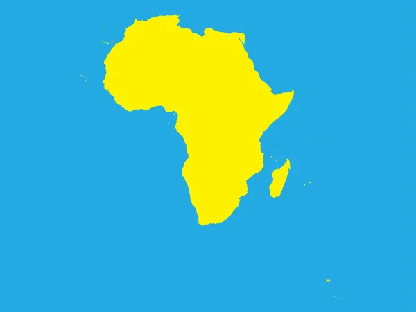
African continent with Madagascar as a silhouette
African Continent Madagascar Silhouette — Stock Photo, Image
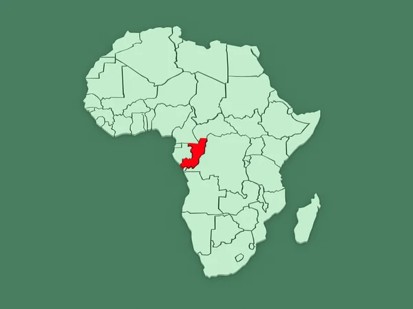
Map of the country of the state of the republic of the congo
Map Country State Republic Congo — Stock Photo, Image
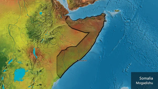
Close-up of the Somalia border area highlighting with a dark overlay on a topographic map. Capital point. Bevelled edges of the country shape. English name of the country and its capital
Close Somalia Border Area Highlighting Dark Overlay Topographic Map Capital — Stock Photo, Image
Hand drawn sketched Africa map (originals, no tracing)
Hand Drawn Sketched Africa Map Originals Tracing — Stock Photo, Image
Global map
Global map — Stock Photo, Image
Iraq in red on model of political globe with transparent oceans. 3D illustration.
Iraq Red Model Political Globe Transparent Oceans Illustration — Stock Photo, Image
Israel in red on model of political globe with transparent oceans. 3D illustration.
Israel Red Model Political Globe Transparent Oceans Illustration — Stock Photo, Image
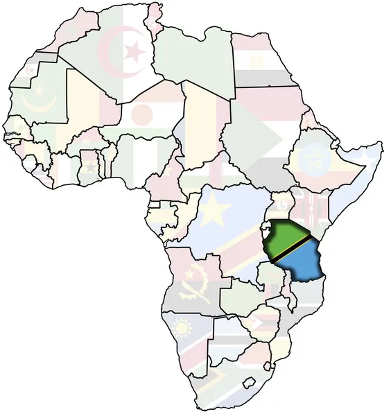
Tanzania on africa map
Tanzania on africa map — Stock Photo, Image
Map of the world with the flag of the country of the administrative divisions of the regions of the republic
Map World Flag Country Administrative Divisions Regions Republic — Stock Photo, Image
Map of Africa with a selected country of Guinea Bissau
Map of Africa with a selected country of Guinea Bissau — Stock Photo, Image
Map of Africa with a selected country of Sudan
Map of Africa with a selected country of Sudan — Stock Photo, Image
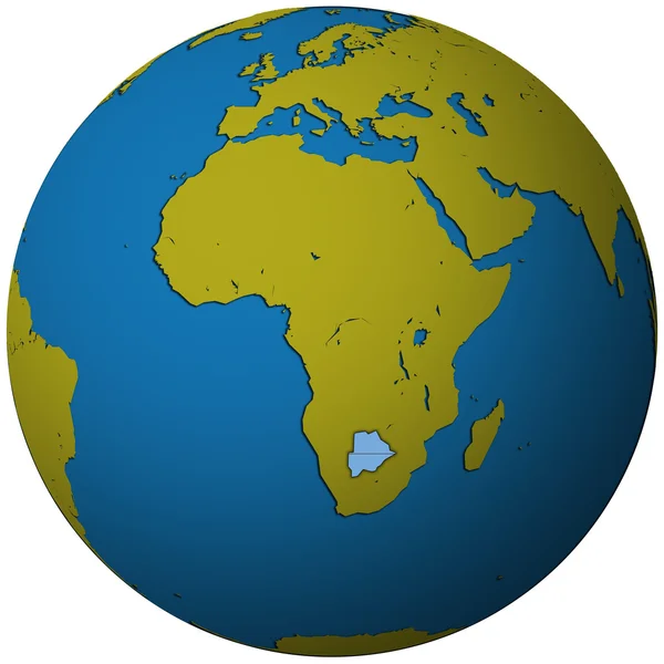
Map of worlds. Botswana.
Map of worlds. Botswana. — Stock Photo, Image
Somalia on africa map
Somalia on africa map — Stock Photo, Image
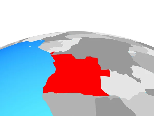
Angola on political globe. 3D illustration.
Angola Political Globe Illustration — Stock Photo, Image
Map of Africa with a selected country of Rwanda
Map of Africa with a selected country of Rwanda — Stock Photo, Image
Map of worlds. Cameroon.
Map of worlds. Cameroon. — Stock Photo, Image
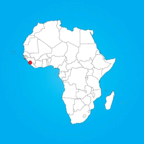
Map of Africa with a selected country of Sierra Leone
Map of Africa with a selected country of Sierra Leone — Stock Photo, Image
Shape of the Continent of Africa
Shape of the Continent of  Africa — Stock Photo, Image
Map of worlds. Republic of the Congo.
Map of worlds. Republic of the Congo. — Stock Photo, Image
Map of Africa - isolated
Map of Africa - isolated — Stock Photo, Image
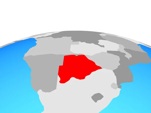
Botswana on political globe. 3D illustration.
Botswana Political Globe Illustration — Stock Photo, Image
Map of Africa with a selected country of Cape Verde
Map of Africa with a selected country of Cape Verde — Stock Photo, Image
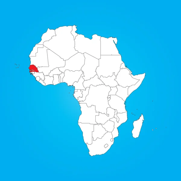
Map of Africa with a selected country of Senegal
Map of Africa with a selected country of Senegal — Stock Photo, Image
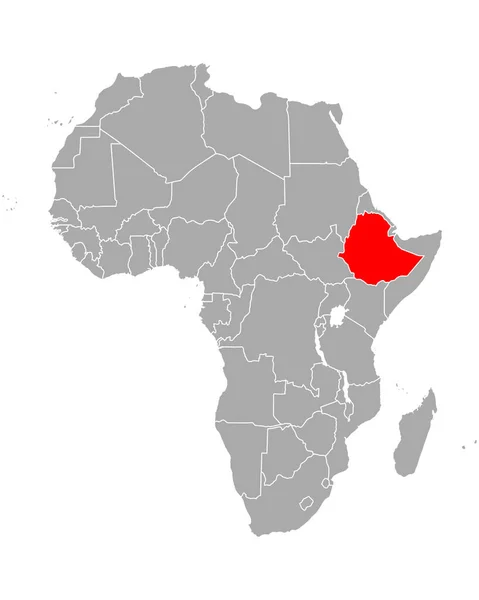
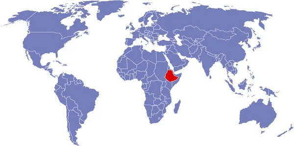
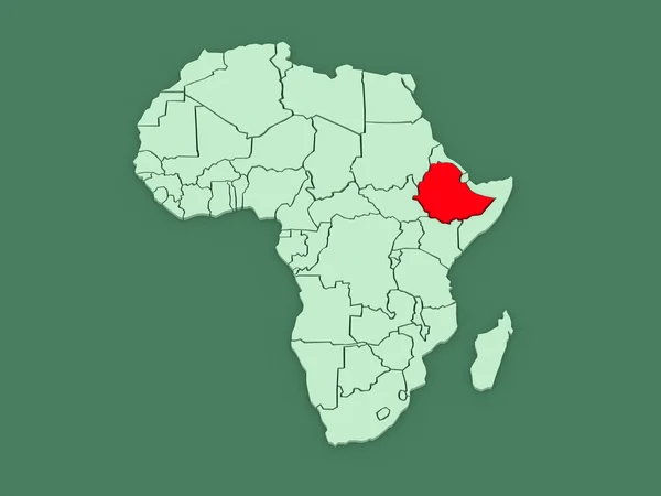
Map of worlds. Ethiopia.
Map of worlds. Ethiopia. — Stock Photo, Image
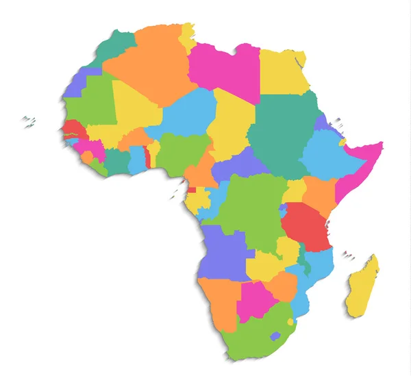
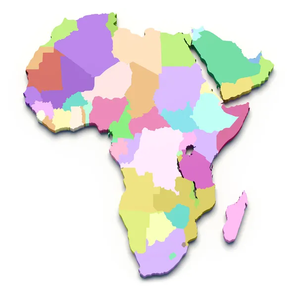
Africa map, new political detailed map, separate individual states, with state names, isolated on white background 3D blank
Africa Map New Political Detailed Map Separate Individual States State — Stock Photo, Image
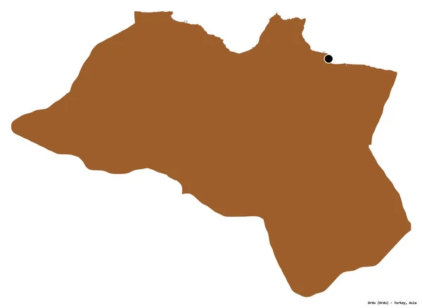
Shape of Ordu, province of Turkey, with its capital isolated on white background. Composition of patterned textures. 3D rendering
Shape Ordu Province Turkey Its Capital Isolated White Background Composition — Stock Photo, Image
Map of Africa with a selected country of Madagascar
Map of Africa with a selected country of Madagascar — Stock Photo, Image
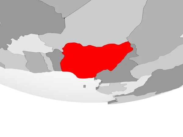
Nigeria in red on grey political globe with transparent oceans. 3D illustration.
Nigeria Red Grey Political Globe Transparent Oceans Illustration — Stock Photo, Image
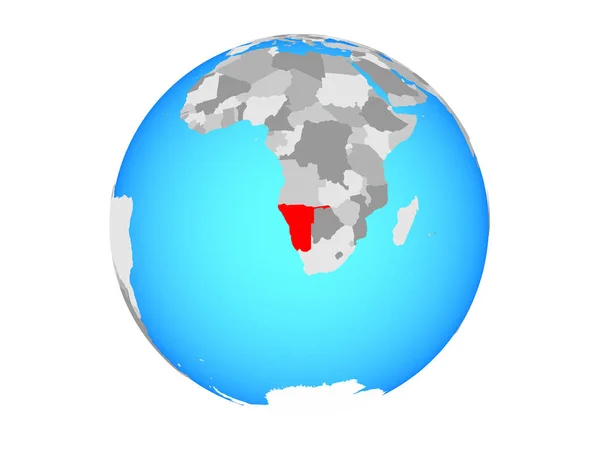
Namibia on blue political globe. 3D illustration isolated on white background.
Namibia Blue Political Globe Illustration Isolated White Background — Stock Photo, Image
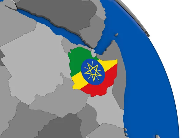
Ethiopia and its flag on globe
Ethiopia and its flag on globe — Stock Photo, Image
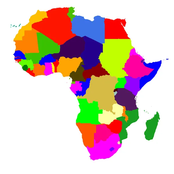
Africa map
Africa map — Stock Photo, Image
Africa map on a white background
Africa map on a white background — Stock Photo, Image
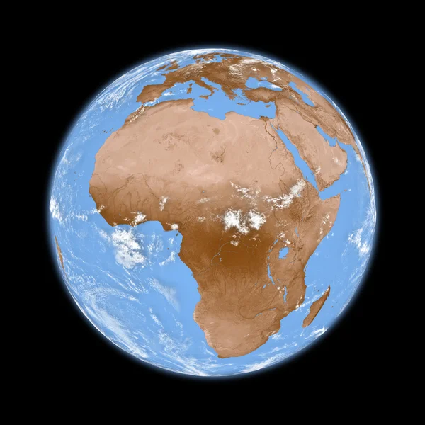
Africa on Earth
Africa on Earth — Stock Photo, Image
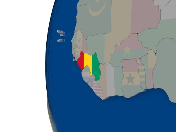
Guinea with national flag
Guinea with national flag — Stock Photo, Image
Shape of Carlow, county of Ireland, with its capital isolated on white background. Composition of patterned textures. 3D rendering
Shape Carlow County Ireland Its Capital Isolated White Background Composition — Stock Photo, Image
Africa map
Africa map — Stock Photo, Image
Map of the world with the flag of the country of the administrative divisions
Map World Flag Country Administrative Divisions — Stock Photo, Image
Map of the world with the flag of the country of the republic of the congo
Map World Flag Country Republic Congo — Stock Photo, Image
African continent on Earth
African continent on Earth — Stock Photo, Image
Morocco - weaving material flag
Morocco Weaving Material Flag — Stock Photo, Image
Africa map raster
Africa map raster — Stock Photo, Image
Africa with national flags on simple globe. 3D illustration.
Africa National Flags Simple Globe Illustration — Stock Photo, Image
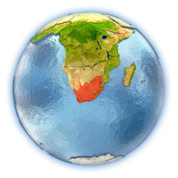
South Africa on isolated globe
South Africa on isolated globe — Stock Photo, Image
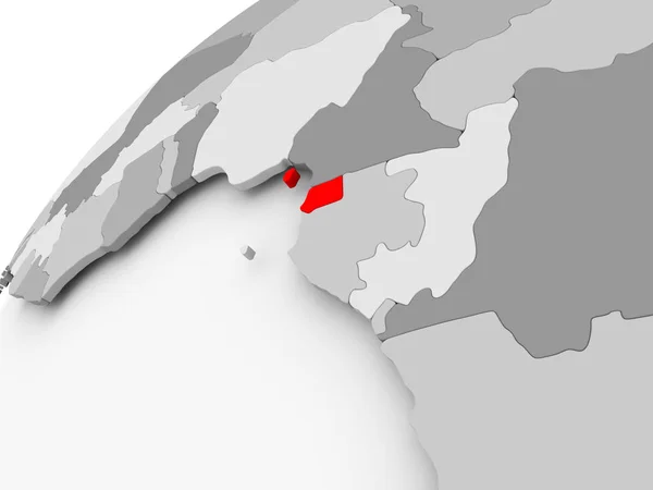
Equatorial Guinea on grey political globe
Equatorial Guinea on grey political globe — Stock Photo, Image
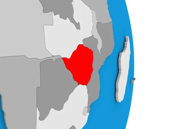
Zimbabwe on globe
Zimbabwe on globe — Stock Photo, Image
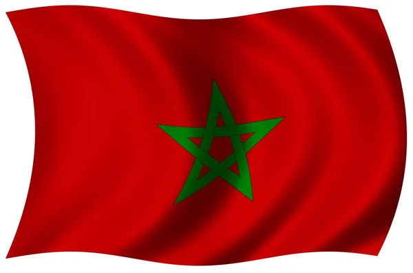
The national flag of Morocco
The national flag of Morocco — Stock Photo, Image
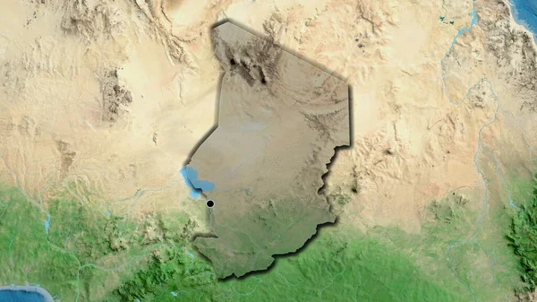
Close-up of the Chad border area highlighting with a dark overlay on a satellite map. Capital point. Bevelled edges of the country shape.
Close Chad Border Area Highlighting Dark Overlay Satellite Map Capital — Stock Photo, Image
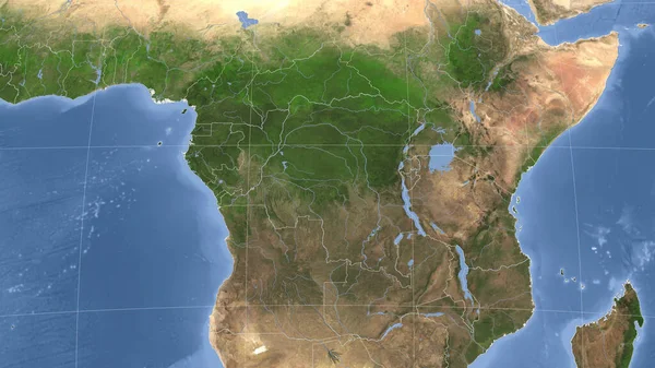
Congo Kinshasa and its neighborhood. Distant oblique perspective - no outline. satellite imagery
Congo Kinshasa Its Neighborhood Distant Oblique Perspective Outline Satellite Imagery — Stock Photo, Image
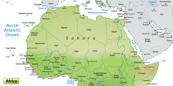
Map of africa as an overview map in pastel green
Map Africa Overview Map Pastel Green — Stock Photo, Image
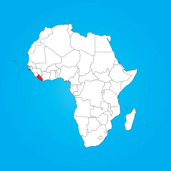
Map of Africa with a selected country of Liberia
Map of Africa with a selected country of Liberia — Stock Photo, Image
Africa on globe. 3D illustration.
Africa Globe Illustration — Stock Photo, Image
Africa on globe. 3D illustration.
Africa Globe Illustration — Stock Photo, Image
Africa on globe. 3D illustration.
Africa Globe Illustration — Stock Photo, Image
Illustration on isolated background of the continent of Africa
Illustration on isolated background of the continent of Africa — Stock Photo, Image
Map of Africa with a selected country of Seychelles
Map of Africa with a selected country of Seychelles — Stock Photo, Image
Map of Africa with a selected country of Sao Tome E Principe
Map of Africa with a selected country of Sao Tome E Principe — Stock Photo, Image
Map of Africa with a selected country of Mauritius
Map of Africa with a selected country of Mauritius — Stock Photo, Image
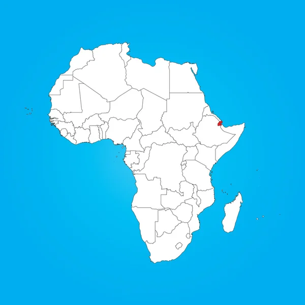
Map of Africa with a selected country of Djibouti
Map of Africa with a selected country of Djibouti — Stock Photo, Image
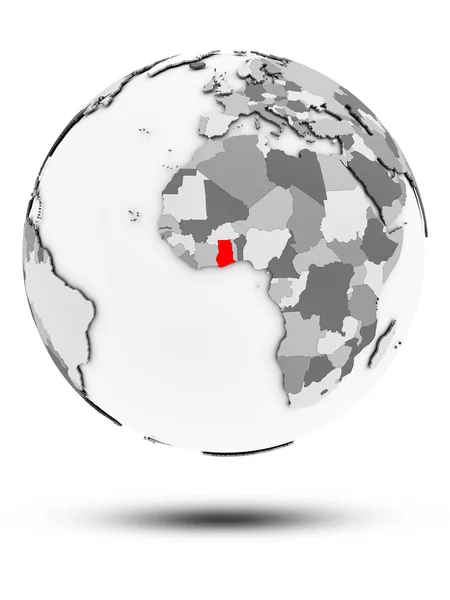
Ghana on simple gray globe with shadow isolated on white background. 3D illustration.
Ghana Simple Gray Globe Shadow Isolated White Background Illustration — Stock Photo, Image
Map of Africa with a selected country of Ghana
Map of Africa with a selected country of Ghana — Stock Photo, Image
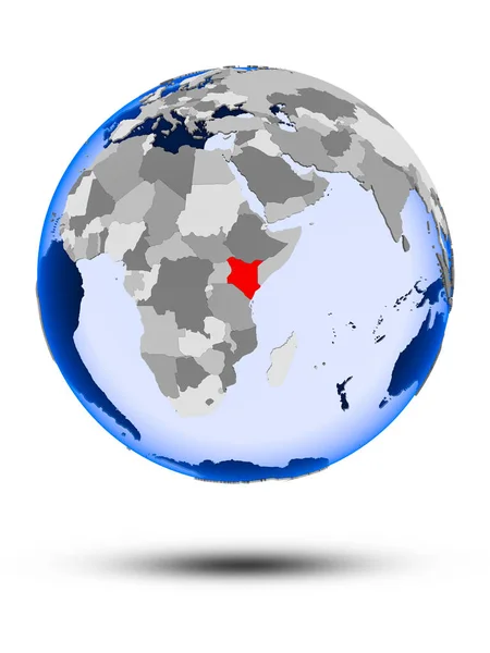
Kenya on political globe with shadow and translucent oceans isolated on white background. 3D illustration.
Kenya Political Globe Shadow Translucent Oceans Isolated White Background Illustration — Stock Photo, Image
Morocco flag waving animation. Flag of Morocco on wind
Morocco flag waving animation. Flag of Morocco on wind — Stock Photo, Image
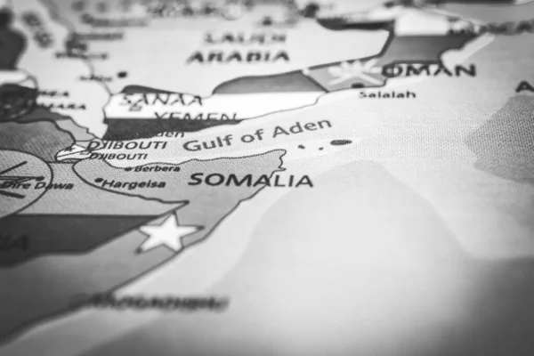
Somalia on the map
Somalia Map — Stock Photo, Image
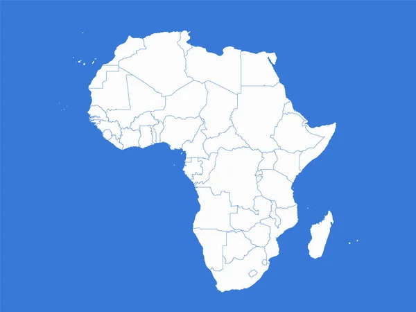
Africa map, administrative divisions whit states, blue background, blank
Africa Map Administrative Divisions Whit States Blue Background Blank — Stock Photo, Image
Shape of the Continent of Africa
Shape of the Continent of  Africa — Stock Photo, Image
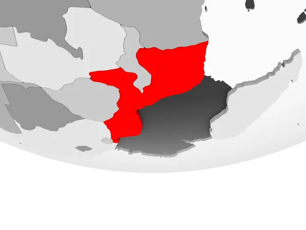
Mozambique in red on grey political globe with transparent oceans. 3D illustration.
Mozambique Red Grey Political Globe Transparent Oceans Illustration — Stock Photo, Image
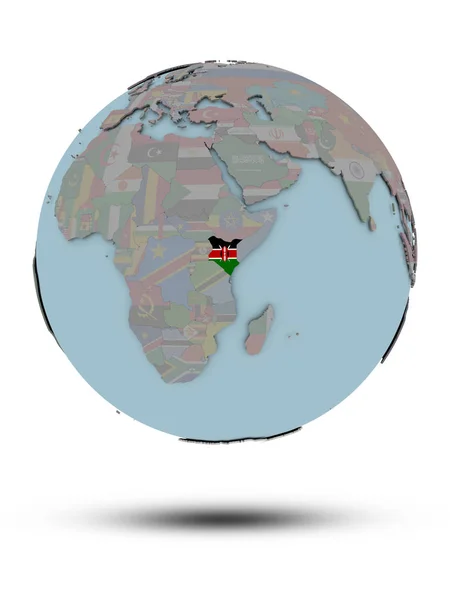
Kenya with national flag on political globe with shadow isolated on white background. 3D illustration.
Kenya National Flag Political Globe Shadow Isolated White Background Illustration — Stock Photo, Image
Equatorial Guinea on grey political globe
Equatorial Guinea on grey political globe — Stock Photo, Image
Africa map
Africa map — Stock Photo, Image
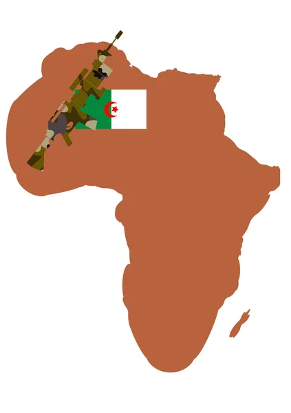
War in Algeria
War in Algeria — Stock Photo, Image
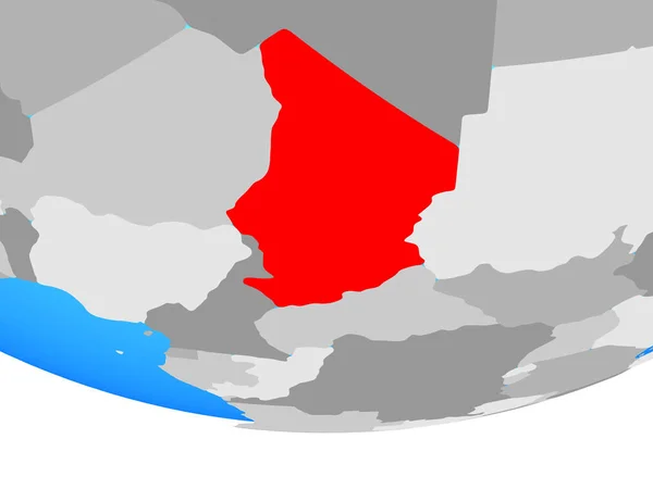
Chad on simple political globe. 3D illustration.
Chad Simple Political Globe Illustration — Stock Photo, Image
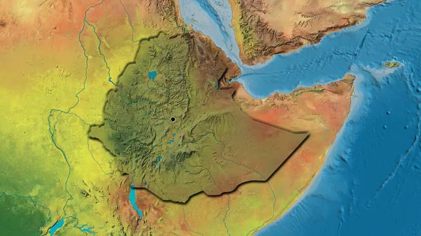
Close-up of the Ethiopia border area highlighting with a dark overlay on a topographic map. Capital point. Bevelled edges of the country shape.
Close Ethiopia Border Area Highlighting Dark Overlay Topographic Map Capital — Stock Photo, Image
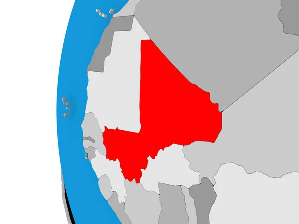
Map of Mali on political globe
Map of Mali on political globe — Stock Photo, Image
Djibouti on bright political globe with embedded flag. 3D illustration.
Djibouti Bright Political Globe Embedded Flag Illustration — Stock Photo, Image
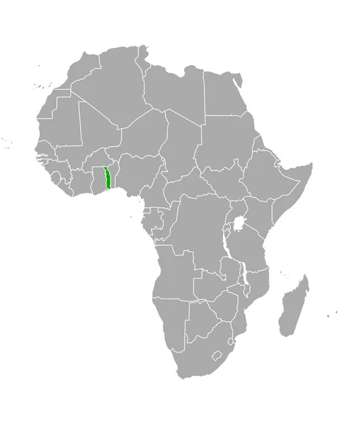
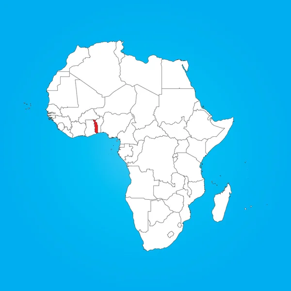
Map of Africa with a selected country of Togo
Map of Africa with a selected country of Togo — Stock Photo, Image
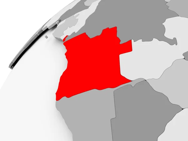
Angola on grey political globe
Angola on grey political globe — Stock Photo, Image
Flag of the Northern Province of Sri Lanka
Flag Northern Province Sri Lanka — Stock Photo, Image
Malawi with flag on globe with shadow isolated on white background. 3D illustration.
Malawi Flag Globe Shadow Isolated White Background Illustration — Stock Photo, Image
National flag of morocco, national country flag
National Flag Morocco National Country Flag — Stock Photo, Image
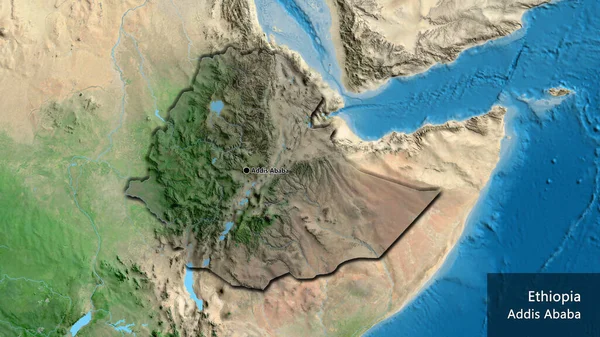
Close-up of the Ethiopia border area highlighting with a dark overlay on a satellite map. Capital point. Bevelled edges of the country shape. English name of the country and its capital
Close Ethiopia Border Area Highlighting Dark Overlay Satellite Map Capital — Stock Photo, Image
Malawi on bright political globe with embedded flag. 3D illustration.
Malawi Bright Political Globe Embedded Flag Illustration — Stock Photo, Image
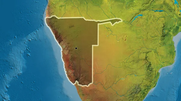
Close-up of the Namibia border area highlighting with a dark overlay on a topographic map. Capital point. Glow around the country shape.
Close Namibia Border Area Highlighting Dark Overlay Topographic Map Capital — Stock Photo, Image
Africa continent made of flags, illustration
Africa Continent Made Flags Illustration — Stock Photo, Image
A map of the country of thailand
Map Country Thailand — Stock Photo, Image
Mauritania on globe
Mauritania on globe — Stock Photo, Image
Polygonal Network Mesh High Resolution Raster Map of Africa Abstractions
Polygonal Network Mesh High Resolution Raster Map of Africa Abstractions — Stock Photo, Image
Map of worlds. Africa.
Map of worlds. Africa. — Stock Photo, Image
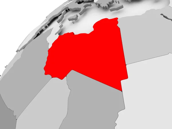
Libya on grey political globe
Libya on grey political globe — Stock Photo, Image
Botswana flag on globe map
Botswana flag on globe map — Stock Photo, Image
Map of the world with the flag of the country of the congo
Map World Flag Country Congo — Stock Photo, Image
Equatorial Guinea flag
Equatorial Guinea flag — Stock Photo, Image

Explore High-Quality Somalian Images for Your Creative Projects

Are you looking for authentic and captivating imagery to enhance your projects related to Somalian culture, wildlife, or geography? Our stock image collection offers a wide range of options to suit your needs, from stunning landscapes to portraits of local communities and wildlife.

The Types of Images Available

In our collection of Somalian images, you'll find many options to choose from. Browse through high-resolution photographs, vector graphics, and illustrations that depict the essence of this rich and diverse East African nation.

Some of the topics covered in our collection include:

  • Somalian landscapes, including desert views, mountains, and coastlines
  • Somalian wildlife, showcasing the diverse species living in the area, such as zebras, giraffes, and lions
  • Somalian culture, with images of traditional clothes, dances, and festivals

Where Can You Use Somalian Images?

Our Somalian images are perfect for a wide range of creative projects. Whether you're designing marketing materials for a travel agency, creating an educational presentation on African geography, or developing a website that focuses on Somalian culture or wildlife, our collection has you covered.

You can use our images in various formats, including digital and print media. Use them on your website, blog, social media, or printed materials such as brochures, flyers, and posters.

How to Choose the Right Images?

When selecting images for your project, consider the following tips:

  • Choose images that align with the topic and message of your project
  • Consider the image's resolution and quality to ensure it looks sharp and professional
  • Think about the context in which the image will be used, and choose images that fit the medium and size, whether it be web or print
  • Be mindful of cultural sensitivities and ensure the images you choose are respectful to the local people and culture depicted in the images

Get Access to Our Somalian Image Collection Today

Our Somalian image collection offers a wealth of high-quality and captivating images that are sure to elevate your projects while giving them a unique flair. Browse our collection today and start using them for all your creative needs related to Somalian culture, geography, and wildlife.