American Staffordshire terrier puppy
American Staffordshire terrier puppy — Stock Photo, Image
Staffordshire Bull Terrier, 9 months old with red collar, standi
Staffordshire Bull Terrier, 9 months old with red collar, standi — Stock Photo, Image
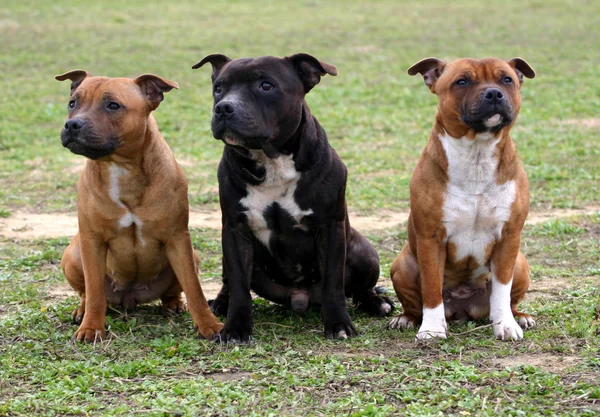
Staffordshire bull terriers
Staffordshire bull terriers — Stock Photo, Image
Portrait of muscular blue dog. American Staffordshire Terrier on a blurry background
Portrait Muscular Blue Dog American Staffordshire Terrier Blurry Background — Stock Photo, Image
Staffordshire Bull Terrier, 9 months old with red collar, isolat
Staffordshire Bull Terrier, 9 months old with red collar, isolat — Stock Photo, Image
American Staffordshire terrier in front of white background
American Staffordshire terrier in front of white background — Stock Photo, Image
American Staffordshire Terrier running
American Staffordshire Terrier running — Stock Photo, Image
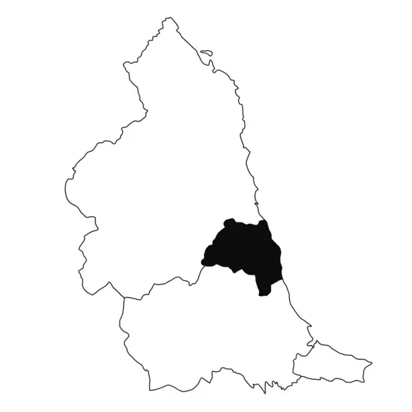
Map of Tyne and Wear in North East England province on white background. single County map highlighted by black colour on North East England administrative map.
Map Tyne Wear North East England Province White Background Single — Stock Photo, Image
Map of Democratic Republic of Congo.
Map of Democratic Republic of Congo. — Stock Photo, Image
Austria Country 3D Abstract Map Europe Continent
Austria Country 3D Abstract Map Europe Continent — Stock Photo, Image
Polygonal Network Mesh High Resolution Raster Map of Utrecht Province Abstractions
Polygonal Network Mesh High Resolution Raster Map of Utrecht Province Abstractions — Stock Photo, Image
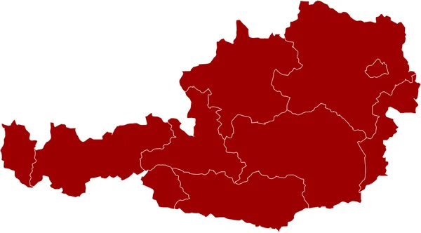
Map of Austria
Map of Austria — Stock Photo, Image
Czech Republic Region Map Central Europe
Czech Republic Region Map Central Europe — Stock Photo, Image
Shape of Basse-Kotto, prefecture of Central African Republic, with its capital isolated on white background. Topographic relief map. 3D rendering
Shape Basse Kotto Prefecture Central African Republic Its Capital Isolated — Stock Photo, Image
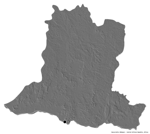
Shape of Basse-Kotto, prefecture of Central African Republic, with its capital isolated on white background. Bilevel elevation map. 3D rendering
Shape Basse Kotto Prefecture Central African Republic Its Capital Isolated — Stock Photo, Image
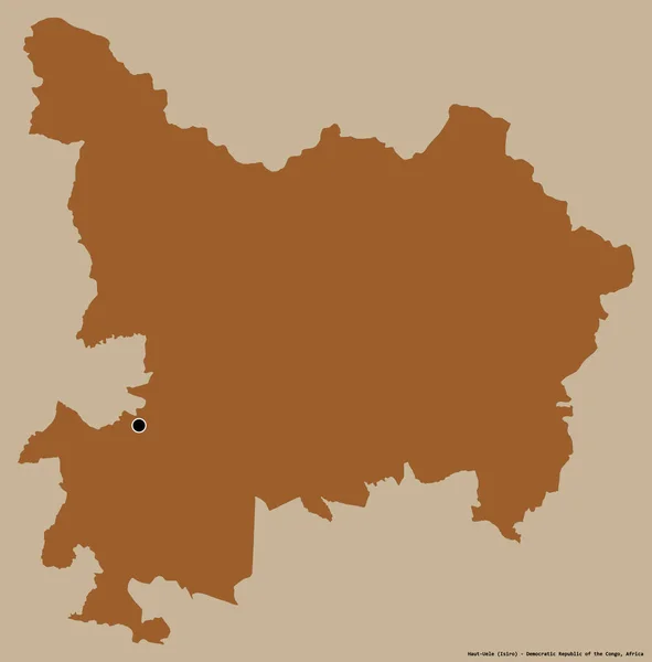
Shape of Haut-Uele, province of Democratic Republic of the Congo, with its capital isolated on a solid color background. Composition of patterned textures. 3D rendering
Shape Haut Uele Province Democratic Republic Congo Its Capital Isolated — Stock Photo, Image
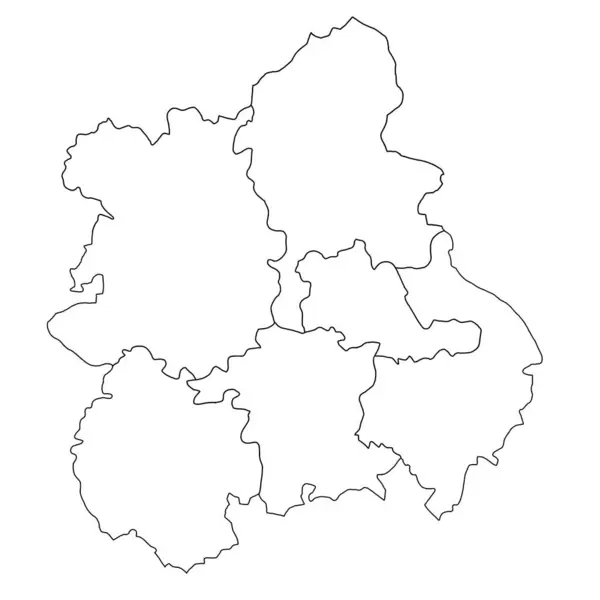
West Midlands England ceremonial counties blank map. High detailed illustration map with counties, regions, states - West Midlands England map . outline map of West Midlands province
West Midlands England Ceremonial Counties Blank Map High Detailed Illustration — Stock Photo, Image
Green map of Ukraine on a white background close up. Outline of Ukraine
Green map of Ukraine on a white background close up. Outline of Ukraine — Stock Photo, Image
Vector map Azerbaijan. Isolated vector Illustration. Black on White background. EPS 10 Illustration.
Vector Map Azerbaijan Isolated Vector Illustration Black White Background Eps — Stock Photo, Image
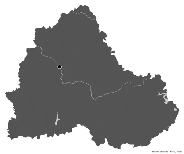
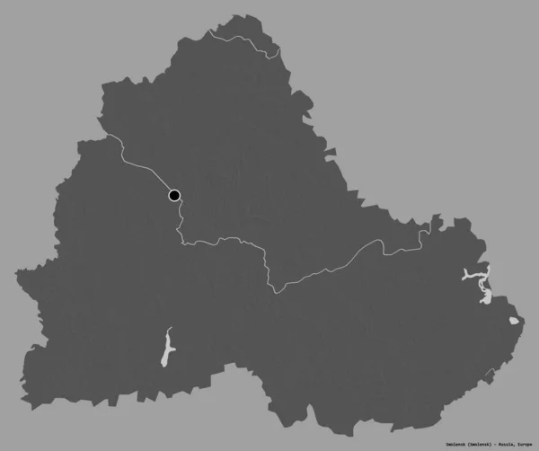
Shape of Smolensk, region of Russia, with its capital isolated on white background. Bilevel elevation map. 3D rendering
Shape Smolensk Region Russia Its Capital Isolated White Background Bilevel — Stock Photo, Image
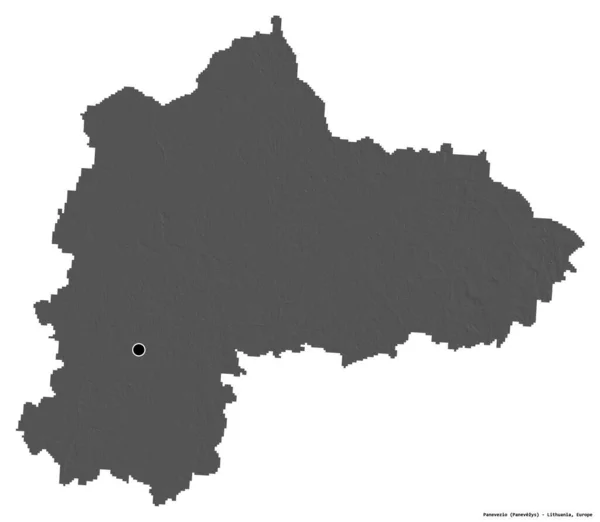
Shape of Panevezio, county of Lithuania, with its capital isolated on white background. Bilevel elevation map. 3D rendering
Shape Panevezio County Lithuania Its Capital Isolated White Background Bilevel — Stock Photo, Image
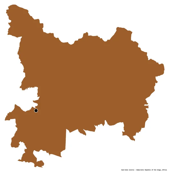
Shape of Haut-Uele, province of Democratic Republic of the Congo, with its capital isolated on white background. Composition of patterned textures. 3D rendering
Shape Haut Uele Province Democratic Republic Congo Its Capital Isolated — Stock Photo, Image
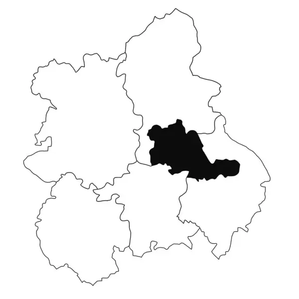
Map of West Midlands in West Midlands England province on white background. single County map highlighted by black colour on West Midlands England administrative map.
Map West Midlands West Midlands England Province White Background Single — Stock Photo, Image
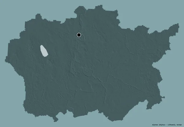
Shape of Alytaus, county of Lithuania, with its capital isolated on a solid color background. Colored elevation map. 3D rendering
Shape Alytaus County Lithuania Its Capital Isolated Solid Color Background — Stock Photo, Image
High Quality map of East Midlands England is a region of England, with outline borders
High Quality Map East Midlands England Region England Outline Borders — Stock Photo, Image
New region of France - Bourgogne, Franche-Comte
New region of France - Bourgogne, Franche-Comte — Stock Photo, Image
Three-dimensional map of Belarus.
Three-dimensional map of Belarus. — Stock Photo, Image
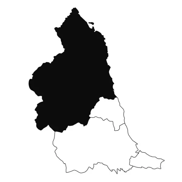
Map of Northumberland in North East England province on white background. single County map highlighted by black colour on North East England administrative map.
Map Northumberland North East England Province White Background Single County — Stock Photo, Image
Shape of Smolensk, region of Russia, with its capital isolated on a solid color background. Bilevel elevation map. 3D rendering
Shape Smolensk Region Russia Its Capital Isolated Solid Color Background — Stock Photo, Image
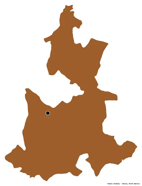
Shape of Puebla, state of Mexico, with its capital isolated on white background. Composition of patterned textures. 3D rendering
Shape Puebla State Mexico Its Capital Isolated White Background Composition — Stock Photo, Image
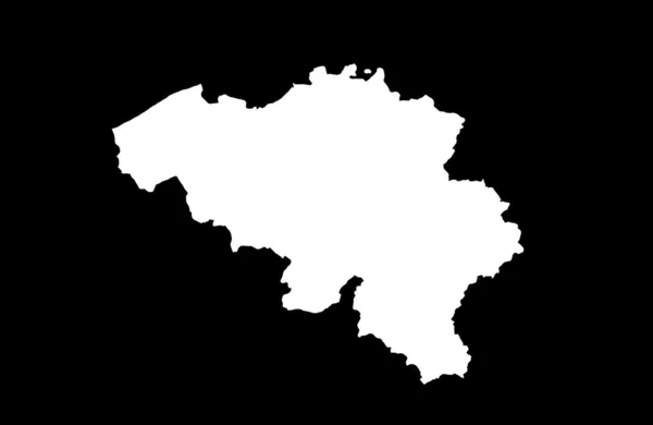
Kingdom of Belgium
Kingdom of Belgium — Stock Photo, Image
Vector contour map of Central Asia without inscription on a white background. The Republic of Kazakhstan is highlighted in red.
Vector Contour Map Central Asia Inscription White Background Republic Kazakhstan — Stock Photo, Image
Map of Belarus
Map of Belarus — Stock Photo, Image
Political map of austria with the several states.
Political Map Austria Several States — Stock Photo, Image
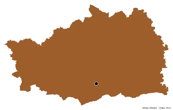
Shape of Kedougou, region of Senegal, with its capital isolated on white background. Composition of patterned textures. 3D rendering
Shape Kedougou Region Senegal Its Capital Isolated White Background Composition — Stock Photo, Image
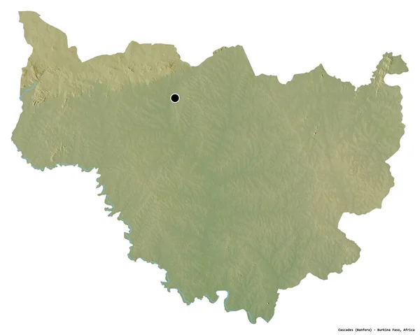
Shape of Cascades, region of Burkina Faso, with its capital isolated on white background. Topographic relief map. 3D rendering
Shape Cascades Region Burkina Faso Its Capital Isolated White Background — Stock Photo, Image
Outline map of West Midlands England is a region of England, with borders
Outline Map West Midlands England Region England Borders — Stock Photo, Image
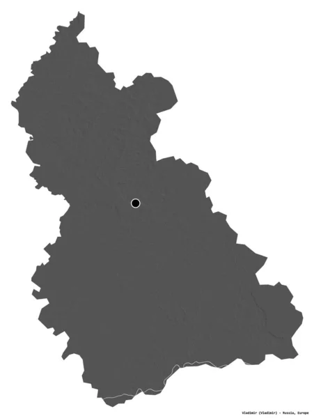
Shape of Vladimir, region of Russia, with its capital isolated on white background. Bilevel elevation map. 3D rendering
Shape Vladimir Region Russia Its Capital Isolated White Background Bilevel — Stock Photo, Image
Shape of Gelderland, province of Netherlands, with its capital isolated on a solid color background. Composition of patterned textures. 3D rendering
Shape Gelderland Province Netherlands Its Capital Isolated Solid Color Background — Stock Photo, Image
Map of Luxembourg.
Map of Luxembourg. — Stock Photo, Image
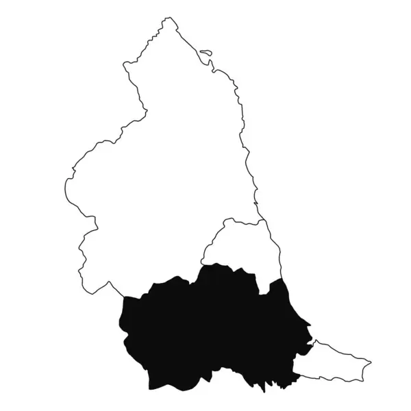
Map of in North East England province on white background. single County map highlighted by black colour on North East England administrative map.
Map North East England Province White Background Single County Map — Stock Photo, Image
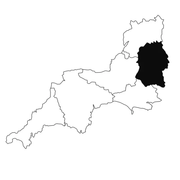
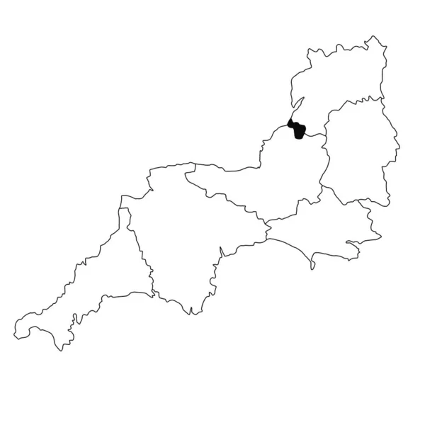
Map of Wiltshire in South West England province on white background. single County map highlighted by black colour on South West England administrative map.
Map Wiltshire South West England Province White Background Single County — Stock Photo, Image
Map of Gorenjska region. Slovenia.
Map of Gorenjska region. Slovenia. — Stock Photo, Image
Shape of Utenos, county of Lithuania, with its capital isolated on white background. Topographic relief map. 3D rendering
Shape Utenos County Lithuania Its Capital Isolated White Background Topographic — Stock Photo, Image
Shape of Csongrad, county of Hungary, with its capital isolated on a solid color background. Colored elevation map. 3D rendering
Shape Csongrad County Hungary Its Capital Isolated Solid Color Background — Stock Photo, Image
Polygonal 2D Mesh High Detail Raster Map of La Rioja Spanish Province Abstractions
Polygonal 2D Mesh High Detail Raster Map of La Rioja Spanish Province Abstractions — Stock Photo, Image
Map of Dushanbe. Tajikistan.
Map of Dushanbe. Tajikistan. — Stock Photo, Image
Shape of Jogeva, county of Estonia, with its capital isolated on white background. Topographic relief map. 3D rendering
Shape Jogeva County Estonia Its Capital Isolated White Background Topographic — Stock Photo, Image
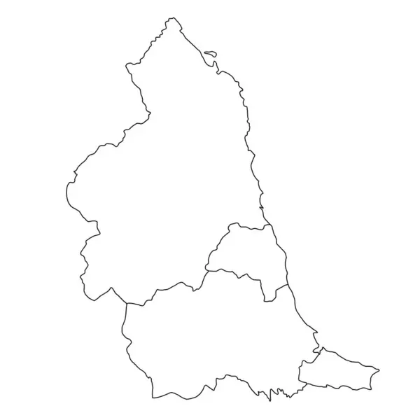
3d rendering High Quality outline map of North East England is a region of England, with borders of the ceremonial counties
Rendering High Quality Outline Map North East England Region England — Stock Photo, Image
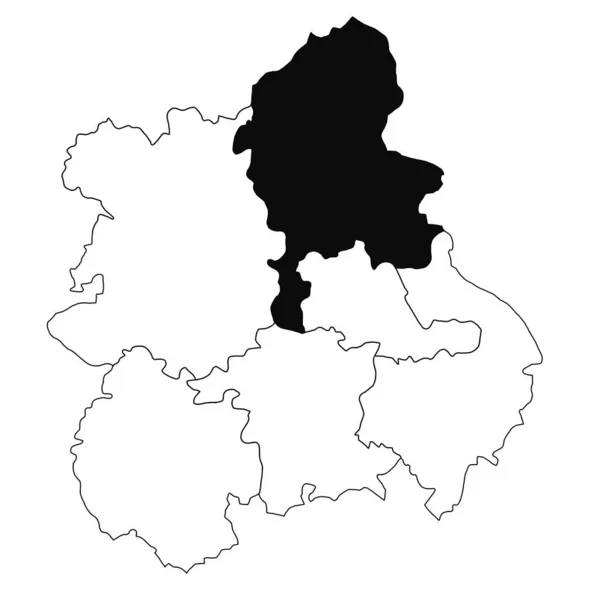
Map of Staffordshire in West Midlands England province on white background. single County map highlighted by black colour on West Midlands England administrative map.
Map Staffordshire West Midlands England Province White Background Single County — Stock Photo, Image
Central African Republic 3d map with national color
Central African Republic 3d map with national color — Stock Photo, Image
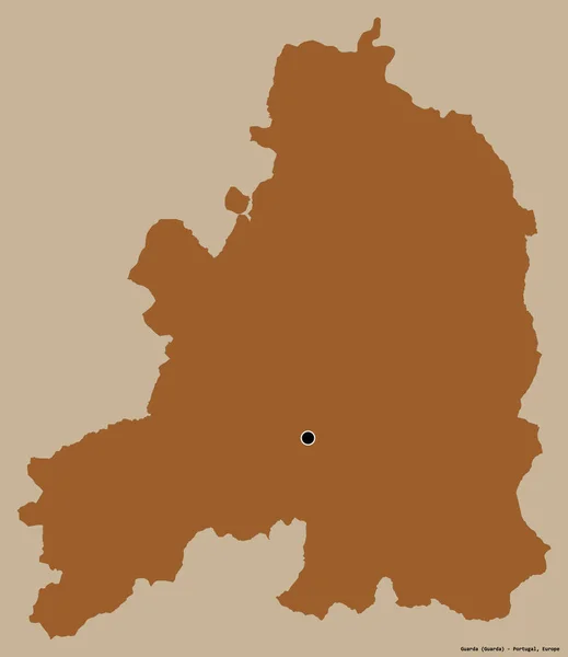
Shape of Guarda, district of Portugal, with its capital isolated on a solid color background. Composition of patterned textures. 3D rendering
Shape Guarda District Portugal Its Capital Isolated Solid Color Background — Stock Photo, Image
Shape of Luxembourg, province of Belgium, with its capital isolated on white background. Topographic relief map. 3D rendering
Shape Luxembourg Province Belgium Its Capital Isolated White Background Topographic — Stock Photo, Image
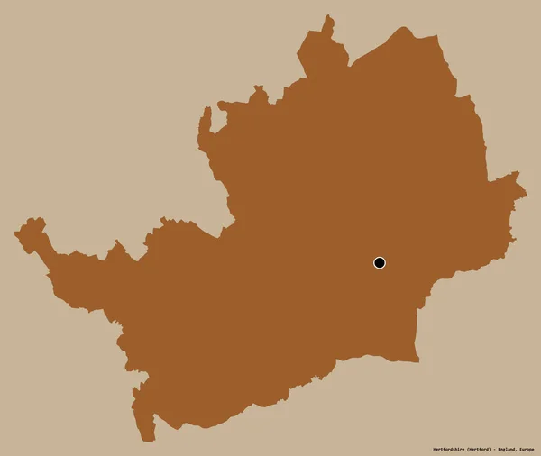
Shape of Hertfordshire, administrative county of England, with its capital isolated on a solid color background. Composition of patterned textures. 3D rendering
Shape Hertfordshire Administrative County England Its Capital Isolated Solid Color — Stock Photo, Image
Three-dimensional map of Belarus.
Three-dimensional map of Belarus. — Stock Photo, Image
Area of Panevezio, county of Lithuania, isolated on a solid background in a georeferenced bounding box. Labels. Bilevel elevation map. 3D rendering
Area Panevezio County Lithuania Isolated Solid Background Georeferenced Bounding Box — Stock Photo, Image
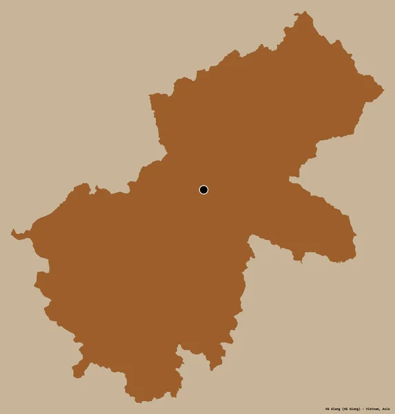
Shape of Ha Giang, province of Vietnam, with its capital isolated on a solid color background. Composition of patterned textures. 3D rendering
Shape Giang Province Vietnam Its Capital Isolated Solid Color Background — Stock Photo, Image
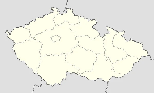
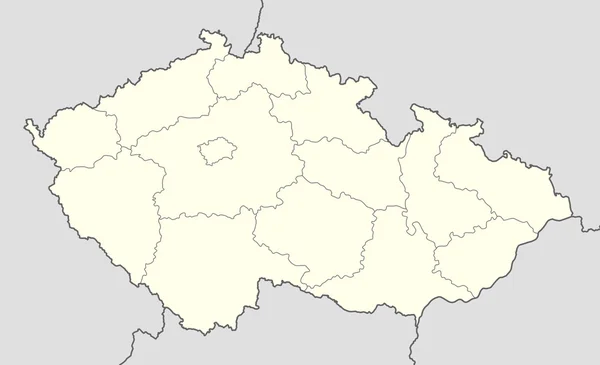
Czech Republic map
Czech Republic map — Stock Photo, Image
3D map on blue water background of Belarus
3D map on blue water background of  Belarus — Stock Photo, Image
Polygonal Wire Frame Mesh High Detail Raster Map of Almeria Province Abstractions
Polygonal Wire Frame Mesh High Detail Raster Map of Almeria Province Abstractions — Stock Photo, Image
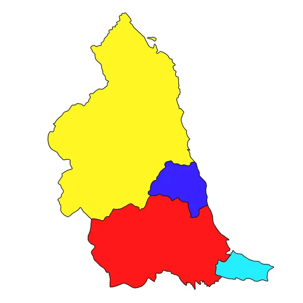
Multi coloured map of North East England is a region of England, with borders of the ceremonial counties and different colour.
Multi Coloured Map North East England Region England Borders Ceremonial — Stock Photo, Image
Map of Bristol in South West England province on white background. single County map highlighted by black colour on South West England administrative map.
Map Bristol South West England Province White Background Single County — Stock Photo, Image
Shape of Lang Son, province of Vietnam, with its capital isolated on a solid color background. Composition of patterned textures. 3D rendering
Shape Lang Son Province Vietnam Its Capital Isolated Solid Color — Stock Photo, Image
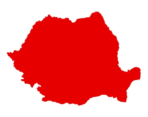
Romania
Romania — Stock Photo, Image
Map of Belgium
Map of Belgium — Stock Photo, Image
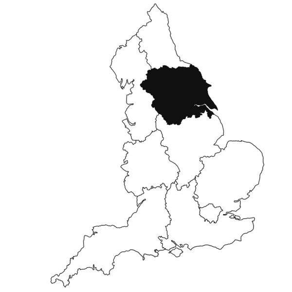
Map of Yorkshire Province in England on white background. single region map highlighted by black colour on England administrative map.
Map Yorkshire Province England White Background Single Region Map Highlighted — Stock Photo, Image
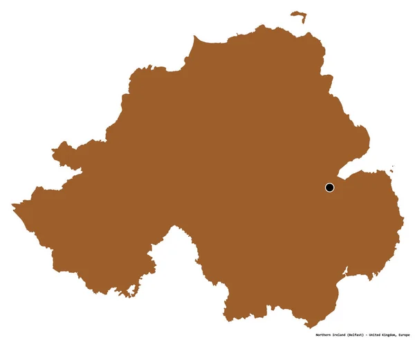
Shape of Northern Ireland, region of United Kingdom, with its capital isolated on white background. Composition of patterned textures. 3D rendering
Shape Northern Ireland Region United Kingdom Its Capital Isolated White — Stock Photo, Image
Map of Pomurska area. Slovenia.
Map of Pomurska area. Slovenia. — Stock Photo, Image
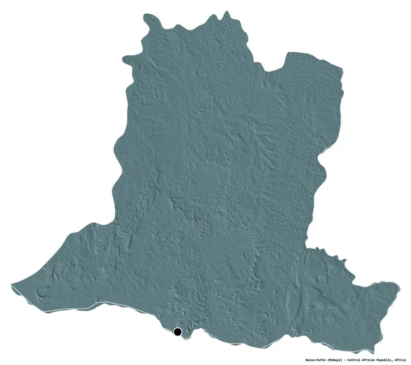
Shape of Basse-Kotto, prefecture of Central African Republic, with its capital isolated on white background. Colored elevation map. 3D rendering
Shape Basse Kotto Prefecture Central African Republic Its Capital Isolated — Stock Photo, Image
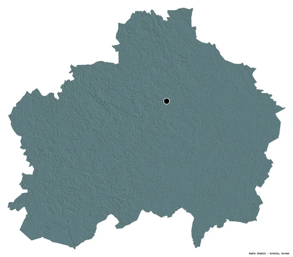
Shape of Rapla, county of Estonia, with its capital isolated on white background. Colored elevation map. 3D rendering
Shape Rapla County Estonia Its Capital Isolated White Background Colored — Stock Photo, Image
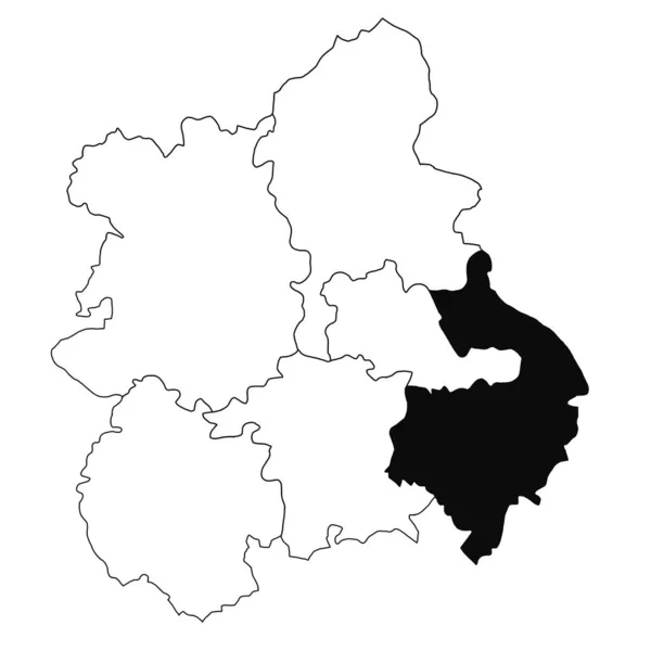
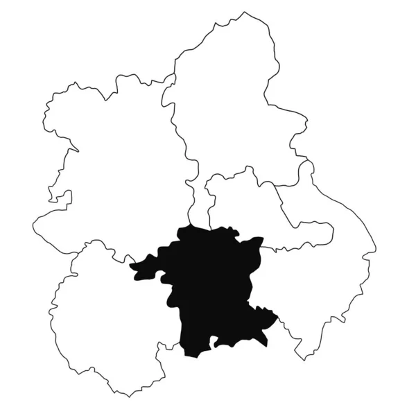
Map of Warwickshire in West Midlands England province on white background. single County map highlighted by black colour on West Midlands England administrative map.
Map Warwickshire West Midlands England Province White Background Single County — Stock Photo, Image
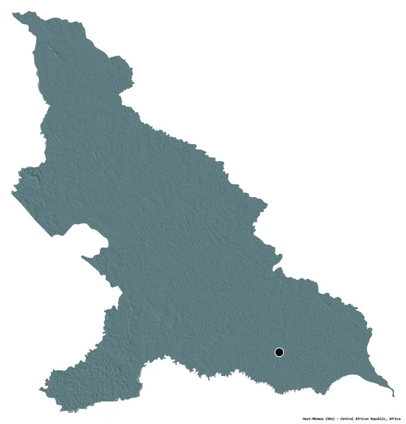
Shape of Haut-Mbomou, prefecture of Central African Republic, with its capital isolated on white background. Colored elevation map. 3D rendering
Shape Haut Mbomou Prefecture Central African Republic Its Capital Isolated — Stock Photo, Image
Polygonal 2D Mesh High Detail Raster Map of Huelva Province Abstractions
Polygonal 2D Mesh High Detail Raster Map of Huelva Province Abstractions — Stock Photo, Image
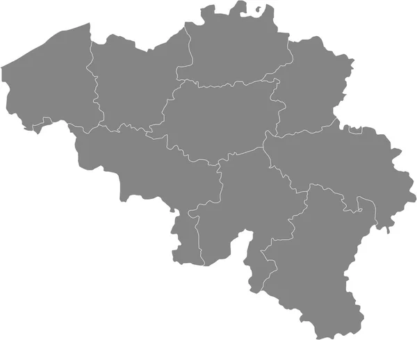
Belgium map, individual regions, blank
Belgium Map Individual Regions Blank — Stock Photo, Image
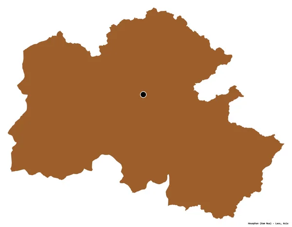
Shape of Houaphan, province of Laos, with its capital isolated on white background. Composition of patterned textures. 3D rendering
Shape Houaphan Province Laos Its Capital Isolated White Background Composition — Stock Photo, Image
Shape of Masovian, voivodeship of Poland, with its capital isolated on white background. Topographic relief map. 3D rendering
Shape Masovian Voivodeship Poland Its Capital Isolated White Background Topographic — Stock Photo, Image
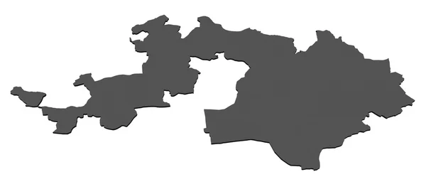
Isolated map of Basel Landschaft - Switzerland
Isolated map of Basel Landschaft - Switzerland — Stock Photo, Image
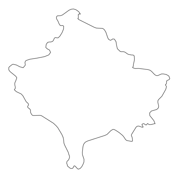
High detailed Outline of the country of Kosovo
High detailed Outline of the country of  Kosovo — Stock Photo, Image
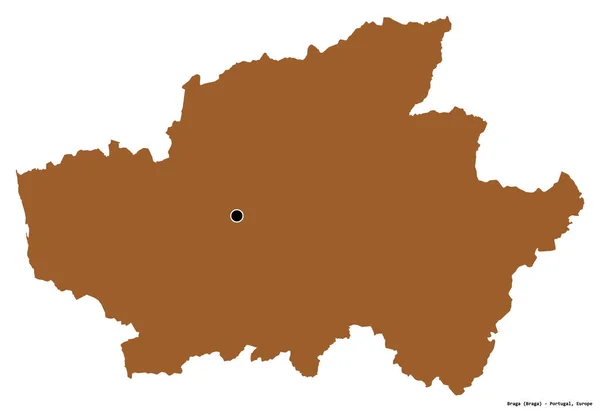
Shape of Braga, district of Portugal, with its capital isolated on white background. Composition of patterned textures. 3D rendering
Shape Braga District Portugal Its Capital Isolated White Background Composition — Stock Photo, Image
Czech Republic map
Czech Republic map — Stock Photo, Image
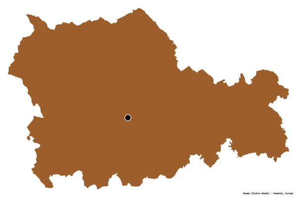
Shape of Neamt, county of Romania, with its capital isolated on white background. Composition of patterned textures. 3D rendering
Shape Neamt County Romania Its Capital Isolated White Background Composition — Stock Photo, Image
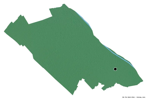
Shape of Can Tho, city of Vietnam, with its capital isolated on white background. Topographic relief map. 3D rendering
Shape Can Tho City Vietnam Its Capital Isolated White Background — Stock Photo, Image
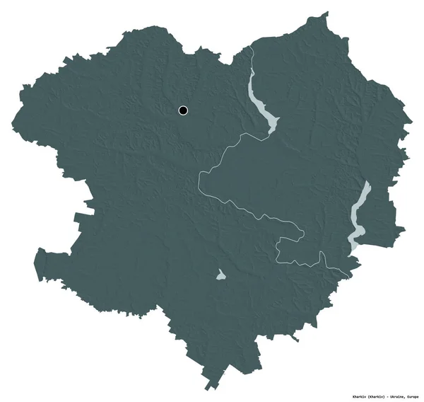
Shape of Kharkiv, region of Ukraine, with its capital isolated on white background. Colored elevation map. 3D rendering
Shape Kharkiv Region Ukraine Its Capital Isolated White Background Colored — Stock Photo, Image
Map of Bolivia.
Map of Bolivia. — Stock Photo, Image
Shape of Kirovohrad, region of Ukraine, with its capital isolated on white background. Topographic relief map. 3D rendering
Shape Kirovohrad Region Ukraine Its Capital Isolated White Background Topographic — Stock Photo, Image
Map of Korushsky region. Slovenia.
Map of Korushsky region. Slovenia. — Stock Photo, Image
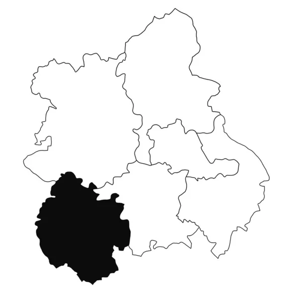
Map of Herefordshire in West Midlands England province on white background. single County map highlighted by black colour on West Midlands England administrative map.
Map Herefordshire West Midlands England Province White Background Single County — Stock Photo, Image
Shape of Panevezio, county of Lithuania, with its capital isolated on a solid color background. Composition of patterned textures. 3D rendering
Shape Panevezio County Lithuania Its Capital Isolated Solid Color Background — Stock Photo, Image
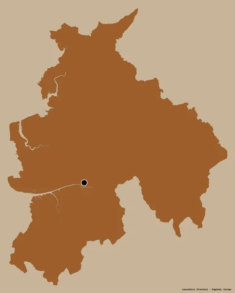
Shape of Lancashire, administrative county of England, with its capital isolated on a solid color background. Composition of patterned textures. 3D rendering
Shape Lancashire Administrative County England Its Capital Isolated Solid Color — Stock Photo, Image
Three-dimensional map of Slovakia.
Three-dimensional map of Slovakia. — Stock Photo, Image
Shape of Oio, region of Guinea-Bissau, with its capital isolated on white background. Topographic relief map. 3D rendering
Shape Oio Region Guinea Bissau Its Capital Isolated White Background — Stock Photo, Image
Map of Worcester in West Midlands England province on white background. single County map highlighted by black colour on West Midlands England administrative map.
Map Worcester West Midlands England Province White Background Single County — Stock Photo, Image
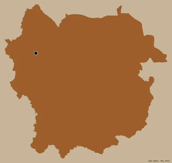
Shape of Kayes, region of Mali, with its capital isolated on a solid color background. Composition of patterned textures. 3D rendering
Shape Kayes Region Mali Its Capital Isolated Solid Color Background — Stock Photo, Image
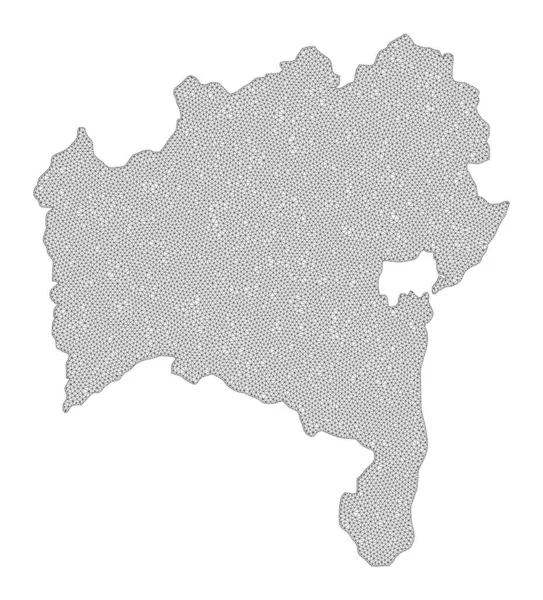
Polygonal Wire Frame Mesh High Detail Raster Map of Bahia State Abstractions
Polygonal Wire Frame Mesh High Detail Raster Map of Bahia State Abstractions — Stock Photo, Image
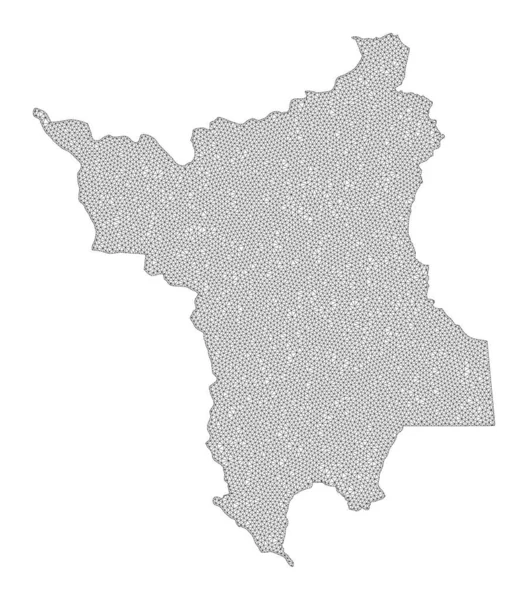
Polygonal 2D Mesh High Detail Raster Map of Roraima State Abstractions
Polygonal 2D Mesh High Detail Raster Map of Roraima State Abstractions — Stock Photo, Image
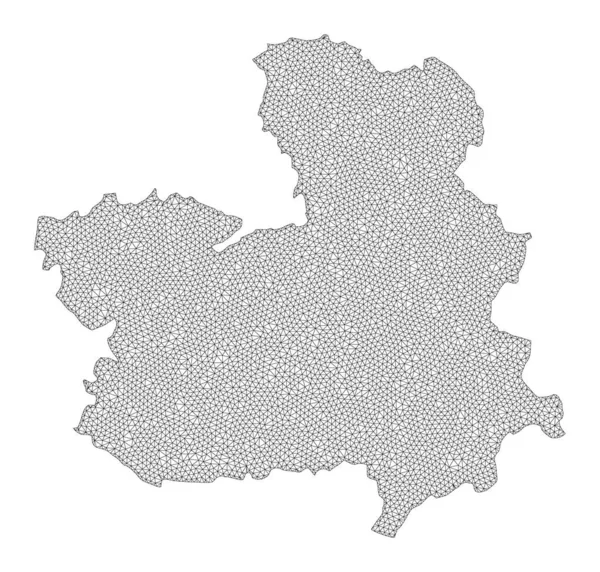
Polygonal Wire Frame Mesh High Resolution Raster Map of Castile-La Mancha Province Abstractions
Polygonal Wire Frame Mesh High Resolution Raster Map of Castile-La Mancha Province Abstractions — Stock Photo, Image
Map of Gifu prefecture, Japan
Map of Gifu prefecture, Japan — Stock Photo, Image
Kazakhstan map
Kazakhstan map — Stock Photo, Image
Shape of Occitanie, region of France, with its capital isolated on white background. Composition of patterned textures. 3D rendering
Shape Occitanie Region France Its Capital Isolated White Background Composition — Stock Photo, Image
Al Gharbiyah, governorate of Egypt. Grayscale elevation map with lakes and rivers
Gharbiyah Governorate Egypt Grayscale Elevation Map Lakes Rivers — Stock Photo, Image

Related image searches

Stafforshire Images: Stunning Photos for Your Creative Projects

If you are looking for high-quality, captivating images of Staffordshire, look no further! We offer a wide range of beautiful images that can be used for various purposes, such as marketing materials, website design, and print publications. Our images are available in JPG, AI, and EPS formats, so you can use them in different applications with ease.

Types of Images

Our Staffordshire images are taken by professional photographers who have captured the stunning beauty of the area. We offer a variety of images, including landscapes, buildings, landmarks, people, and events. Our images are perfect for businesses and organizations looking to showcase the beauty of Staffordshire, as well as individuals who want to add a touch of charm to their creative projects.

How to Use the Images

When it comes to using images for creative projects, it’s essential to consider the audience and purpose of the visuals. For instance, if you’re creating marketing materials for a tourism campaign, you might want to use images that highlight the natural beauty and cultural landmarks of Staffordshire. However, if you’re designing a website for a local business, you might want to focus on images that showcase the liveliness of the area.

No matter how you decide to use the Staffordshire images, make sure they are placed appropriately and complement the overall design. Use the appropriate file format, resolution, and size for your project to ensure that the images look great and load quickly.

Why Choose Our Images

We are committed to providing our clients with high-quality images that reflect the beauty of Staffordshire. Our photographers are passionate about their work and strive to capture the essence of the area in every image. We offer a range of affordable packages to suit different needs and budgets, and we are always open to custom requests. Our team of professionals is available to provide expert advice and support to ensure that our clients get the best results.

Whether you’re looking for images for your business or personal project, our Staffordshire images will add a touch of charm and beauty to your designs. Contact us today to learn more about our image packages and start enhancing your creative projects today.