Wisconsin outline Stock Photos

100,000 Wisconsin outline pictures are available under a royalty-free license

  • Best Match
  • Fresh
  • Popular
1-100 of 100,000
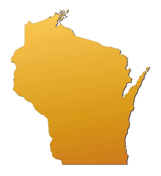
Wisconsin (USA) map
Wisconsin (USA) map — Stock Photo, Image
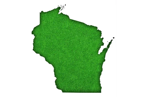
Map of Wisconsin on green felt
Map Wisconsin Green Felt — Stock Photo, Image
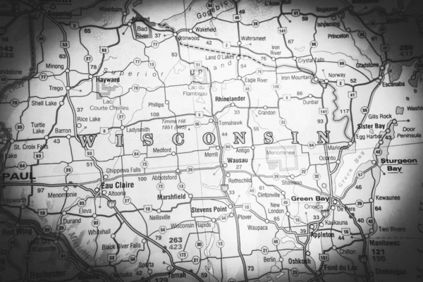
Wisconsin on the map
Wisconsin Map — Stock Photo, Image
Map of Tanzania
Map of Tanzania — Stock Photo, Image
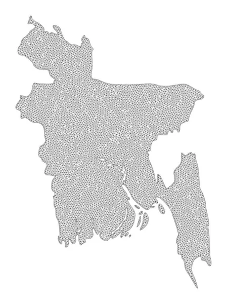
Polygonal Network Mesh High Resolution Raster Map of Bangladesh Abstractions
Polygonal Network Mesh High Resolution Raster Map of Bangladesh Abstractions — Stock Photo, Image
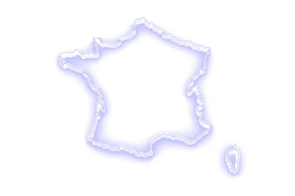
Three-dimensional map of France.
Three-dimensional map of France. — Stock Photo, Image
Three-dimensional map of France.
Three-dimensional map of France. — Stock Photo, Image
Map of Bolivia
Map of Bolivia — Stock Photo, Image
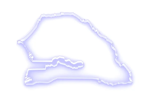
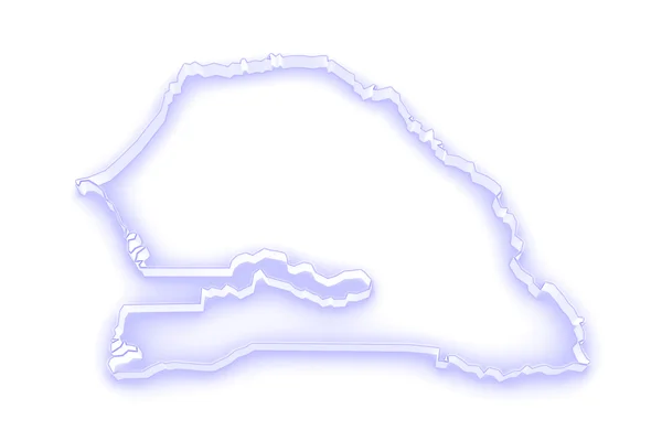
Map of Senegal.
Map of Senegal. — Stock Photo, Image
Map of Rhode Island
Map of Rhode Island — Stock Photo, Image
Map of Mozambique.
Map of Mozambique. — Stock Photo, Image
Map of Zimbabwe
Map of Zimbabwe — Stock Photo, Image
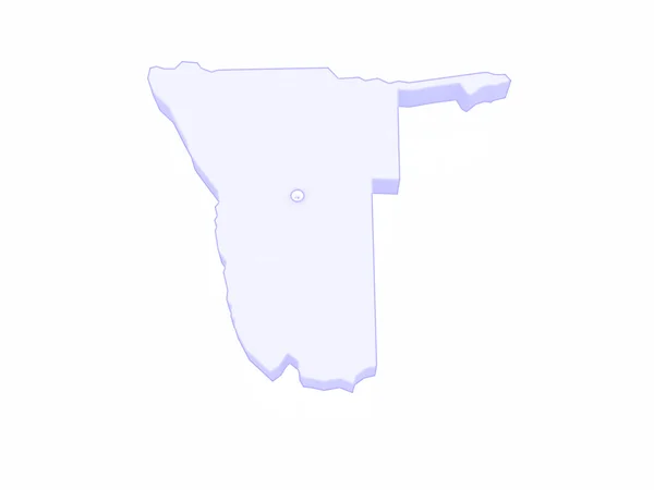
Map of Namibia.
Map of Namibia. — Stock Photo, Image
Paraguay - Hand-Drawn Map lllustration
Paraguay Hand Drawn Map Lllustration — Stock Photo, Image
Map of Lesotho.
Map of Lesotho. — Stock Photo, Image
Western Sahara outline map with shadow
Western Sahara outline map with shadow — Stock Photo, Image
Map of Nebraska on weathered wood
Map of Nebraska on weathered wood — Stock Photo, Image
Background with an exquisite mix of colors, textures and interesting patterns
Background Exquisite Mix Colors Textures Interesting Patterns — Stock Photo, Image
Polygonal Wire Frame Mesh High Resolution Raster Map of Assam State Abstractions
Polygonal Wire Frame Mesh High Resolution Raster Map of Assam State Abstractions — Stock Photo, Image
Map of Tanzania.
Map of Tanzania. — Stock Photo, Image
Polygonal Carcass Mesh High Resolution Raster Map of Togo Abstractions
Polygonal Carcass Mesh High Resolution Raster Map of Togo Abstractions — Stock Photo, Image
Map of Panama.
Map of Panama. — Stock Photo, Image
Map Egypt. Isolated Illustration. Black on White background.
Map Egypt Isolated Illustration Black White Background — Stock Photo, Image
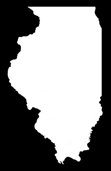
State of Illinois on black background
State of Illinois on black background — Stock Photo, Image
Map of Bio-Bio. Chile.
Map of Bio-Bio. Chile. — Stock Photo, Image
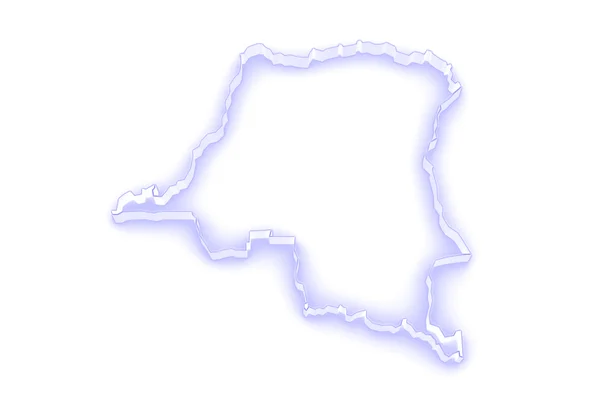
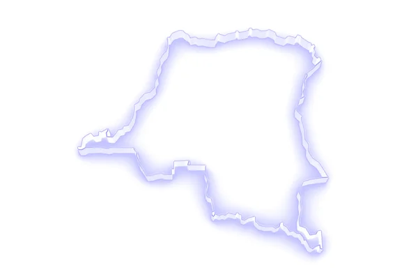
Map of Democratic Republic of Congo
Map of Democratic Republic of Congo — Stock Photo, Image
Harju, county of Estonia. Grayscale elevation map with lakes and rivers
Harju County Estonia Grayscale Elevation Map Lakes Rivers — Stock Photo, Image
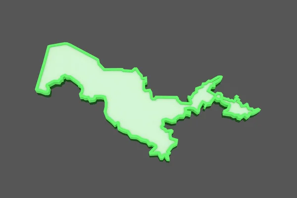
Map of Uzbekistan.
Map of Uzbekistan. — Stock Photo, Image
Map of Albania.
Map of Albania. — Stock Photo, Image
Map of Haiti.
Map of Haiti. — Stock Photo, Image
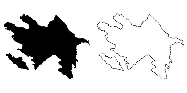
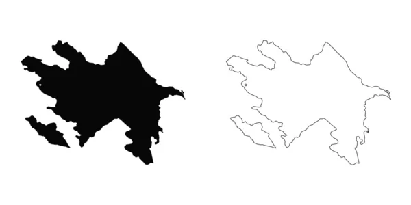
Map of the country of Azerbaijan
Map of the country of Azerbaijan — Stock Photo, Image
Chalked map on a chalk board of Ghana
Chalked map on a chalk board of  Ghana — Stock Photo, Image
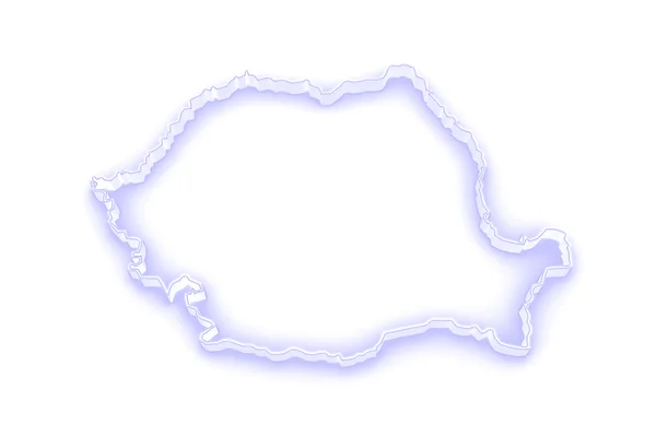
Three-dimensional map of Romania.
Three-dimensional map of Romania. — Stock Photo, Image
Polygonal Carcass Mesh High Resolution Raster Map of Cameroon Abstractions
Polygonal Carcass Mesh High Resolution Raster Map of Cameroon Abstractions — Stock Photo, Image
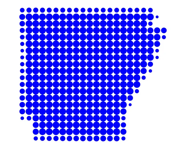
Map of Arkansas
Map of Arkansas — Stock Photo, Image
Vector map Mozambique. Isolated vector Illustration. Black on White background. EPS 10 Illustration.
Vector Map Mozambique Isolated Vector Illustration Black White Background Eps — Stock Photo, Image
Map Kuwait. Isolated Illustration. Black on White background.
Map Kuwait Isolated Illustration Black White Background — Stock Photo, Image
Map of Haiti.
Map of Haiti. — Stock Photo, Image
One piece of torn paper on white
One Piece Torn Paper White — Stock Photo, Image
Three-dimensional map of Belgium.
Three-dimensional map of Belgium. — Stock Photo, Image
Map of Rio Grande do Norte - Brazil
Map of Rio Grande do Norte - Brazil — Stock Photo, Image
Map of Algeria.
Map of Algeria. — Stock Photo, Image
Map of Algeria.
Map of Algeria. — Stock Photo, Image
Map of Bolivia.
Map of Bolivia. — Stock Photo, Image
Map of Bangladesh.
Map of Bangladesh. — Stock Photo, Image
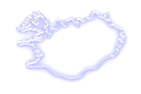
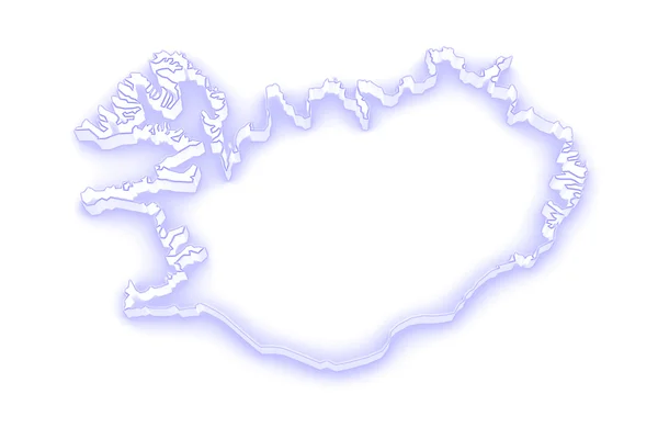
Map of Iceland.
Map of Iceland. — Stock Photo, Image
Green pastel watercolor abstract background, an isolated spot with divorces and borders. Vintage paintings for design and decoration. Frame with copy space.
Green Pastel Watercolor Abstract Background Isolated Spot Divorces Borders Vintage — Stock Photo, Image
Map of Democratic Republic of Congo.
Map of Democratic Republic of Congo. — Stock Photo, Image
A illustration of the bolivia map
A illustration of the bolivia map — Stock Photo, Image
Map of Moldova
Map of Moldova — Stock Photo, Image
Shape of Mahdia, governorate of Tunisia, with its capital isolated on white background. Bilevel elevation map. 3D rendering
Shape Mahdia Governorate Tunisia Its Capital Isolated White Background Bilevel — Stock Photo, Image
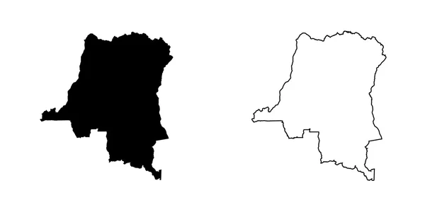
Map of Democratic Republic of Congo
Map of Democratic Republic of Congo — Stock Photo, Image
Map of Bolivia.
Map of Bolivia. — Stock Photo, Image
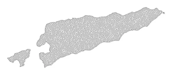
Polygonal Network Mesh High Detail Raster Map of East Timor Abstractions
Polygonal Network Mesh High Detail Raster Map of East Timor Abstractions — Stock Photo, Image
3d rendering of a silhouette tree isolated on white background
3d rendering of a silhouette tree isolated on white background — Stock Photo, Image
Three-dimensional map of Romania.
Three-dimensional map of Romania. — Stock Photo, Image
Jamaica map Silhouette isolated on white 3D illustration
Jamaica Map Silhouette Isolated White Illustration — Stock Photo, Image
Map of the country of Poland
Map of the country of Poland — Stock Photo, Image
Area of Coronie, district of Suriname, isolated on a solid background in a georeferenced bounding box. Labels. Bilevel elevation map. 3D rendering
Area Coronie District Suriname Isolated Solid Background Georeferenced Bounding Box — Stock Photo, Image
Map Guinea-Bissau. Isolated Illustration. Black on White background.
Map Guinea Bissau Isolated Illustration Black White Background — Stock Photo, Image
Map Namibia. Isolated Illustration. Black on White background.
Map Namibia Isolated Illustration Black White Background — Stock Photo, Image
Argentinian salute
Argentinian salute — Stock Photo, Image
Polygonal Carcass Mesh High Resolution Raster Map of Jamaica Abstractions
Polygonal Carcass Mesh High Resolution Raster Map of Jamaica Abstractions — Stock Photo, Image
Map of Madagascar.
Map of Madagascar. — Stock Photo, Image
Map of Serbia.
Map of Serbia. — Stock Photo, Image
Map of Cote d'Ivoire.
Map of Cote d'Ivoire. — Stock Photo, Image
Polygonal 2D Mesh High Resolution Raster Map of Groningen Province Abstractions
Polygonal 2D Mesh High Resolution Raster Map of Groningen Province Abstractions — Stock Photo, Image
Black and white USA map
Black and white USA map — Stock Photo, Image
Polygonal Wire Frame Mesh High Detail Raster Map of New Brunswick Province Abstractions
Polygonal Wire Frame Mesh High Detail Raster Map of New Brunswick Province Abstractions — Stock Photo, Image
Map of Iceland.
Map of Iceland. — Stock Photo, Image
Illustration on an Orange background of Azerbaijan
Illustration on an Orange background of Azerbaijan — Stock Photo, Image
Map of Liberia
Map of Liberia — Stock Photo, Image
The 2D State of Delaware outline map on white background
State Delaware Outline Map White Background — Stock Photo, Image
Map of Azerbaijan.
Map of Azerbaijan. — Stock Photo, Image
Map of Senegal.
Map of Senegal. — Stock Photo, Image
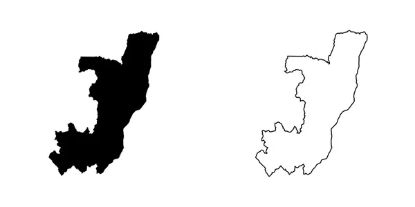
Map of the country of Congo
Map of the country of Congo — Stock Photo, Image
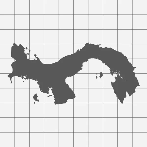
Squared Paper with the Shape of the Country of Panama
Squared Paper with the Shape of the Country of  Panama — Stock Photo, Image
Old color grunge vintage weathered background abstract antique t
Old color grunge vintage weathered background abstract antique t — Stock Photo, Image
Map of Namibia
Map of Namibia — Stock Photo, Image
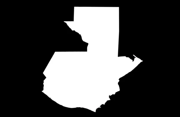
Republic of Guatemala map
Republic of Guatemala map — Stock Photo, Image
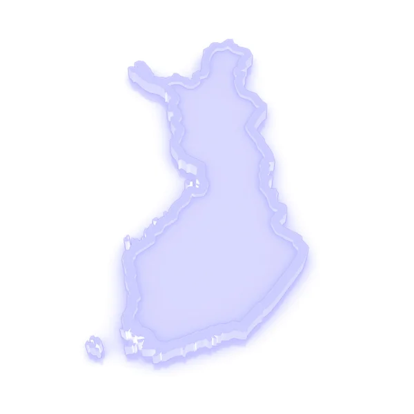
Three-dimensional map of Finland.
Three-dimensional map of Finland. — Stock Photo, Image
Halftone map of the Mississippi River and tributaries
Halftone Map Mississippi River Tributaries — Stock Photo, Image
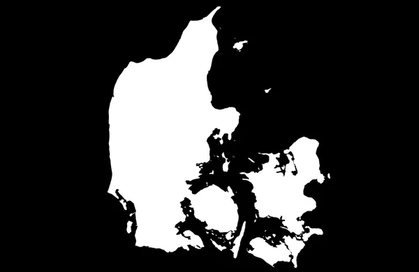
Kingdom of Denmark
Kingdom of Denmark — Stock Photo, Image
Blue USA map on white background, 3D rendering
Blue Usa Map White Background Rendering — Stock Photo, Image
Shape of North East, region of Ghana, with its capital isolated on white background. Bilevel elevation map. 3D rendering
Shape North East Region Ghana Its Capital Isolated White Background — Stock Photo, Image
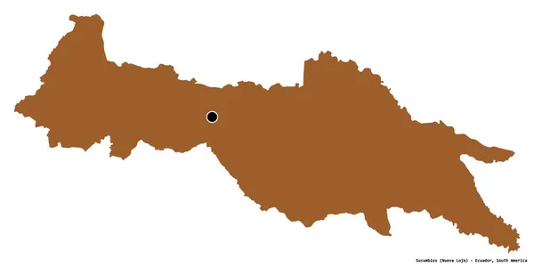
Shape of Sucumbios, province of Ecuador, with its capital isolated on white background. Composition of patterned textures. 3D rendering
Shape Sucumbios Province Ecuador Its Capital Isolated White Background Composition — Stock Photo, Image
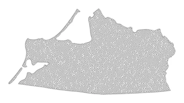
Polygonal Network Mesh High Resolution Raster Map of Kaliningrad Region Abstractions
Polygonal Network Mesh High Resolution Raster Map of Kaliningrad Region Abstractions — Stock Photo, Image
Map Qatar. Isolated Illustration. Black on White background.
Map Qatar Isolated Illustration Black White Background — Stock Photo, Image
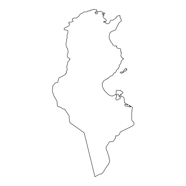
High detailed Outline of the country of Tunisia
High detailed Outline of the country of  Tunisia — Stock Photo, Image
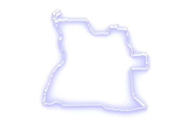
Map of Angola.
Map of Angola. — Stock Photo, Image
Map Paraguay. Isolated Illustration. Black on White background.
Map Paraguay Isolated Illustration Black White Background — Stock Photo, Image
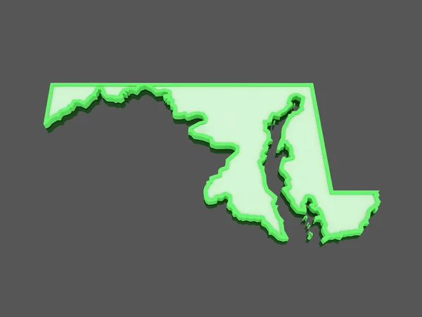
Three-dimensional map of Maryland. USA.
Three-dimensional map of Maryland. USA. — Stock Photo, Image
Map of Sierra Leone.
Map of Sierra Leone. — Stock Photo, Image
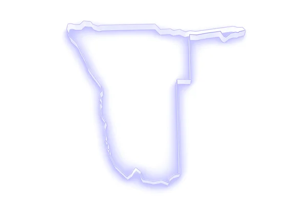
Map of Namibia
Map of Namibia — Stock Photo, Image
Map of the country of Democratic Republic of Congo
Map of the country of Democratic Republic of Congo — Stock Photo, Image
High detailed Outline of the country of CoteDivoire
High detailed Outline of the country of  CoteDivoire — Stock Photo, Image
Republic of the Sudan
Republic of the Sudan — Stock Photo, Image
North Bank, division of Gambia. Grayscale elevation map with lakes and rivers
North Bank Division Gambia Grayscale Elevation Map Lakes Rivers — Stock Photo, Image
Map of the country of Cote Divoire
Map of the country of Cote Divoire — Stock Photo, Image
Hunan, province of China. Solid color shape
Hunan Province China Solid Color Shape — Stock Photo, Image

Welcome to Our Stock Image Collection: Wisconsin Outline Images

Are you searching for high-quality visual content to enhance your projects? Look no further! Our stock image collection offers a wide range of Wisconsin outline images that are perfect for various purposes. Whether you need images for presentations, advertisements, websites, or educational materials, our selection has got you covered. In this search page overview, we will provide a detailed description of the available images, their file types, and how they can be used to elevate your creative projects.

Discover a Variety of Wisconsin Outline Images

Our collection features a diverse range of Wisconsin outline images that capture the essence of this beautiful state. From simple black and white outlines to vibrant and colorful variations, you'll find the perfect image to suit your specific needs. These images can serve as great additions to brochures, travel guides, and websites promoting Wisconsin tourism. They can also be utilized in educational materials, such as geography textbooks or classroom presentations, to help students visualize the state's shape and boundaries.

Choose the Right File Format for Your Project

Our Wisconsin outline images are available in three popular file formats: JPG, AI, and EPS. The JPG format is ideal for web use and digital projects, offering excellent image quality while keeping file sizes manageable. AI and EPS files, on the other hand, are vector formats that provide maximum scalability without losing quality. These formats are perfect for print materials, such as posters and banners. Whether you're designing a website or printing marketing materials, selecting the appropriate file format is essential to ensure optimal visual impact.
Utilize Wisconsin Outline Images in Various Projects

Our Wisconsin outline images can be effectively used across a wide range of projects and industries. If you're a graphic designer, these images can be utilized to create visually appealing logos, illustrations, or infographics for clients in the Wisconsin area. Real estate agents can incorporate these images in property listings to highlight the location of properties. Additionally, businesses can use these images in their advertising campaigns or social media posts to showcase their connection to Wisconsin. With our diverse selection, you'll find the perfect image to complement your project and capture the essence of the state.

Make the Most of Wisconsin Outline Images

When incorporating Wisconsin outline images into your projects, it's important to consider a few key factors. First, think about the message you want to convey and choose an image that aligns with that message. For example, if you're promoting outdoor activities in Wisconsin, select an image that showcases the state's natural beauty. Second, ensure that the image resolution is suitable for your intended use. Higher resolution images are best for print materials, while lower resolution ones are adequate for digital projects. Lastly, don't forget to credit the source when required and be mindful of any licensing restrictions on the images you choose.

In conclusion, our stock image collection offers a wide selection of Wisconsin outline images that can elevate your projects and capture the essence of this beautiful state. With various file formats available and endless possibilities for utilization, these images are ideal for a range of purposes, from print materials to digital platforms. By selecting the right image and considering important factors such as message alignment and resolution, you can create visually stunning and impactful projects. Start exploring our collection today and discover the perfect Wisconsin outline image for your next endeavor.