Iceland map Stock Photos

100,000 Iceland map pictures are available under a royalty-free license

  • Best Match
  • Fresh
  • Popular
1-100 of 100,000
Detailed Earth. United Kingdom and the North Sea
Detailed Earth. United Kingdom and the North Sea — Stock Photo, Image
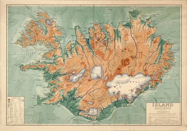
Old map of Iceland. Vintage world map with continents and islands. Geographic retro world map.
Old map of Iceland. Vintage world map with continents and islands. Geographic retro world map. — Stock Photo, Image
Map of Iceland.
Map of Iceland. — Stock Photo, Image
Iceland
Iceland — Stock Photo, Image
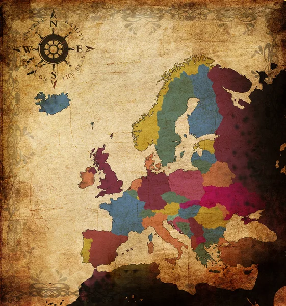
Map of europe
Map of europe — Stock Photo, Image
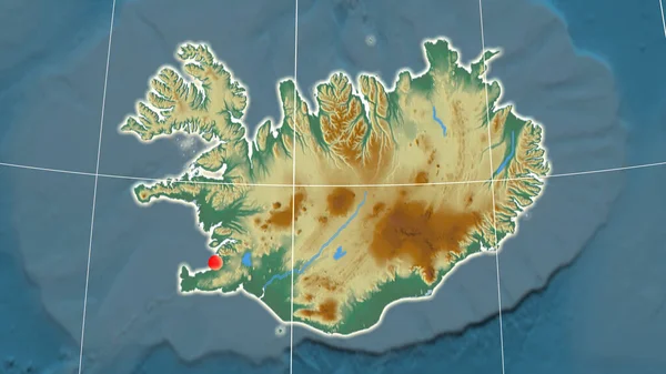
Iceland outlined on the relief orthographic map. Capital, administrative borders and graticule
Iceland Outlined Relief Orthographic Map Capital Administrative Borders Graticule — Stock Photo, Image
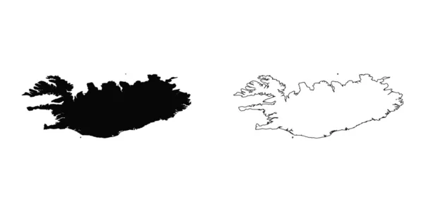
Map Iceland. Isolated Illustration. Black on White background.
Map Iceland Isolated Illustration Black White Background — Stock Photo, Image
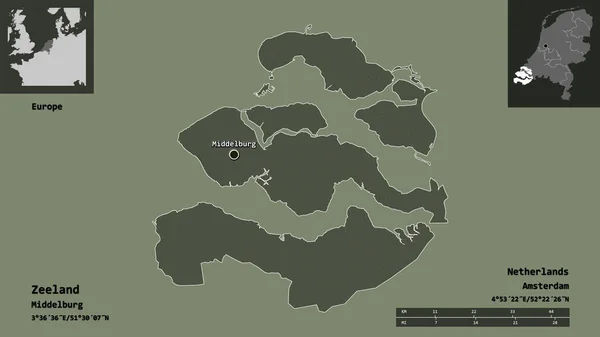
Shape of Zeeland, province of Netherlands, and its capital. Distance scale, previews and labels. Colored elevation map. 3D rendering
Shape Zeeland Province Netherlands Its Capital Distance Scale Previews Labels — Stock Photo, Image
Shape of Gujarat, state of India, with its capital isolated on solid background. Distance scale, region preview and labels. Satellite imagery. 3D rendering
Shape Gujarat State India Its Capital Isolated Solid Background Distance — Stock Photo, Image
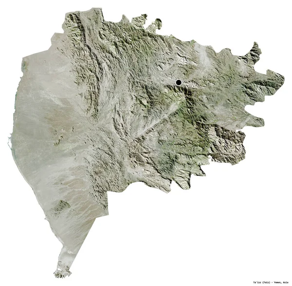
Shape of Ta`izz, governorate of Yemen, with its capital isolated on white background. Satellite imagery. 3D rendering
Shape Izz Governorate Yemen Its Capital Isolated White Background Satellite — Stock Photo, Image
Illustration on an Orange background of Denmark
Illustration on an Orange background of Denmark — Stock Photo, Image
Area of Zuid-Holland, province of Netherlands, isolated on a solid background in a georeferenced bounding box. Labels. Satellite imagery. 3D rendering
Area Zuid Holland Province Netherlands Isolated Solid Background Georeferenced Bounding — Stock Photo, Image
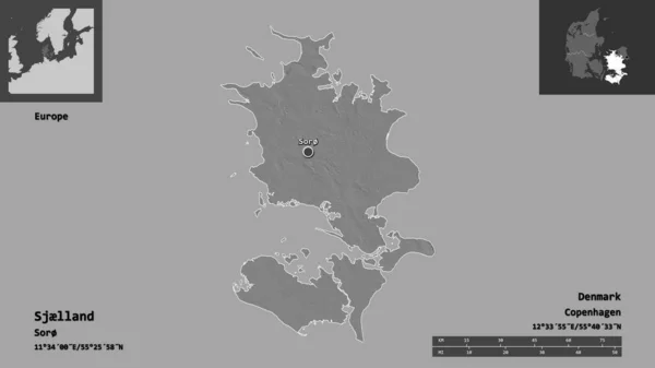
Shape of Sjlland, region of Denmark, and its capital. Distance scale, previews and labels. Bilevel elevation map. 3D rendering
Shape Sjlland Region Denmark Its Capital Distance Scale Previews Labels — Stock Photo, Image
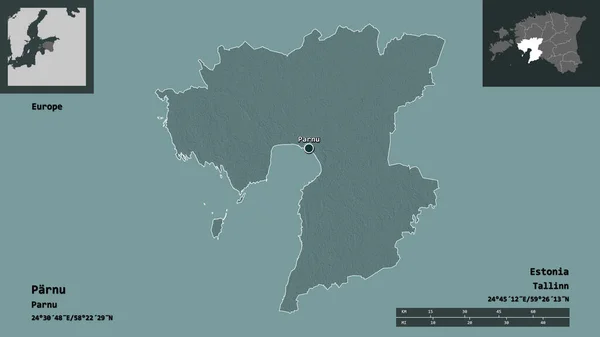
Shape of Parnu, county of Estonia, and its capital. Distance scale, previews and labels. Colored elevation map. 3D rendering
Shape Parnu County Estonia Its Capital Distance Scale Previews Labels — Stock Photo, Image
Abstract black white grungy textured background
Abstract Black White Grungy Textured Background — Stock Photo, Image
Shape of Oberosterreich, state of Austria, and its capital. Distance scale, previews and labels. Satellite imagery. 3D rendering
Shape Oberosterreich State Austria Its Capital Distance Scale Previews Labels — Stock Photo, Image
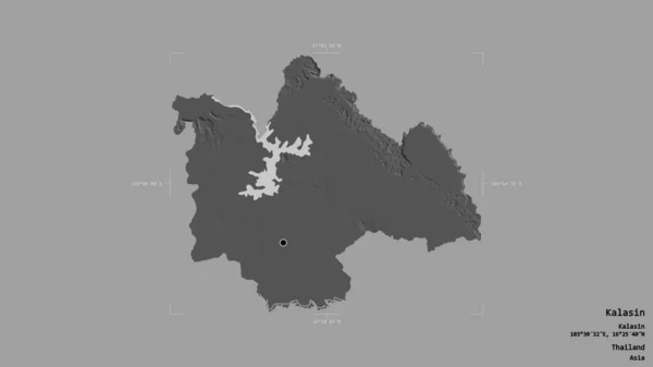
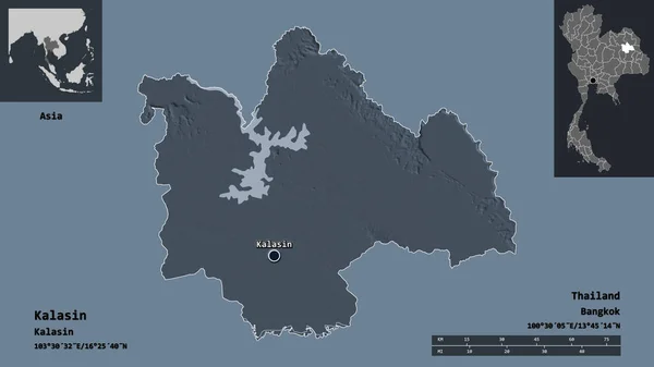
Area of Kalasin, province of Thailand, isolated on a solid background in a georeferenced bounding box. Labels. Bilevel elevation map. 3D rendering
Area Kalasin Province Thailand Isolated Solid Background Georeferenced Bounding Box — Stock Photo, Image
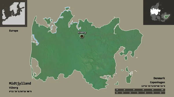
Shape of Midtjylland, region of Denmark, and its capital. Distance scale, previews and labels. Topographic relief map. 3D rendering
Shape Midtjylland Region Denmark Its Capital Distance Scale Previews Labels — Stock Photo, Image
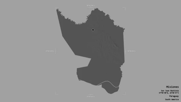
Area of Misiones, department of Paraguay, isolated on a solid background in a georeferenced bounding box. Labels. Bilevel elevation map. 3D rendering
Area Misiones Department Paraguay Isolated Solid Background Georeferenced Bounding Box — Stock Photo, Image
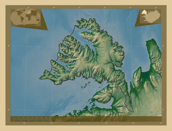
Vestfirir, region of Iceland. Colored elevation map with lakes and rivers. Locations of major cities of the region. Corner auxiliary location maps
Vestfirir Region Iceland Colored Elevation Map Lakes Rivers Locations Major — Stock Photo, Image
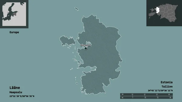
Shape of Laane, county of Estonia, and its capital. Distance scale, previews and labels. Colored elevation map. 3D rendering
Shape Laane County Estonia Its Capital Distance Scale Previews Labels — Stock Photo, Image
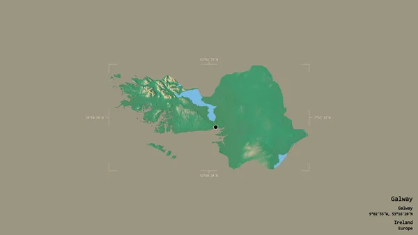
Area of Galway, county of Ireland, isolated on a solid background in a georeferenced bounding box. Labels. Topographic relief map. 3D rendering
Area Galway County Ireland Isolated Solid Background Georeferenced Bounding Box — Stock Photo, Image
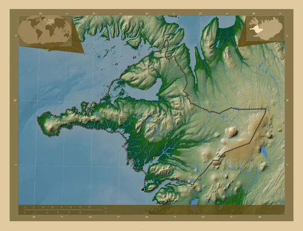
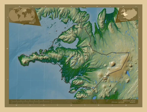
Vesturland, region of Iceland. Colored elevation map with lakes and rivers. Locations of major cities of the region. Corner auxiliary location maps
Vesturland Region Iceland Colored Elevation Map Lakes Rivers Locations Major — Stock Photo, Image
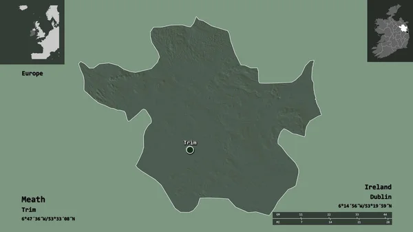
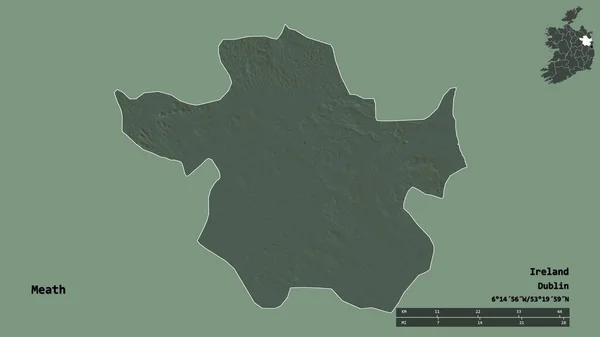
Shape of Meath, county of Ireland, and its capital. Distance scale, previews and labels. Colored elevation map. 3D rendering
Shape Meath County Ireland Its Capital Distance Scale Previews Labels — Stock Photo, Image
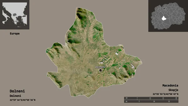
Shape of Dolneni, municipality of Macedonia, and its capital. Distance scale, previews and labels. Satellite imagery. 3D rendering
Shape Dolneni Municipality Macedonia Its Capital Distance Scale Previews Labels — Stock Photo, Image
Area of Khon Kaen, province of Thailand, isolated on a solid background in a georeferenced bounding box. Labels. Bilevel elevation map. 3D rendering
Area Khon Kaen Province Thailand Isolated Solid Background Georeferenced Bounding — Stock Photo, Image
Area of Nunavut, territory of Canada, isolated on a solid background in a georeferenced bounding box. Labels. Colored elevation map. 3D rendering
Area Nunavut Territory Canada Isolated Solid Background Georeferenced Bounding Box — Stock Photo, Image
Shape of Masovian, voivodeship of Poland, and its capital. Distance scale, previews and labels. Colored elevation map. 3D rendering
Shape Masovian Voivodeship Poland Its Capital Distance Scale Previews Labels — Stock Photo, Image
Imaginary map with green continents, blue ocean. Map for banner, poster, print, cover or wall decoration. Fictional country map.
Imaginary Map Green Continents Blue Ocean Map Banner Poster Print — Stock Photo, Image
Map of Iceland.
Map of Iceland. — Stock Photo, Image
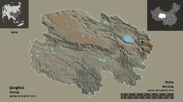
Shape of Qinghai, province of China, and its capital. Distance scale, previews and labels. Topographic relief map. 3D rendering
Shape Qinghai Province China Its Capital Distance Scale Previews Labels — Stock Photo, Image
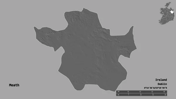
Shape of Meath, county of Ireland, and its capital. Distance scale, previews and labels. Bilevel elevation map. 3D rendering
Shape Meath County Ireland Its Capital Distance Scale Previews Labels — Stock Photo, Image
Shape of Vitsyebsk, region of Belarus, and its capital. Distance scale, previews and labels. Composition of patterned textures. 3D rendering
Shape Vitsyebsk Region Belarus Its Capital Distance Scale Previews Labels — Stock Photo, Image
Isolated map of the state of Schleswig Holstein - Germany
Isolated map of the state of Schleswig Holstein - Germany — Stock Photo, Image
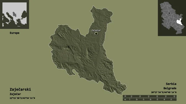
Shape of Zajecarski, district of Serbia, and its capital. Distance scale, previews and labels. Colored elevation map. 3D rendering
Shape Zajecarski District Serbia Its Capital Distance Scale Previews Labels — Stock Photo, Image
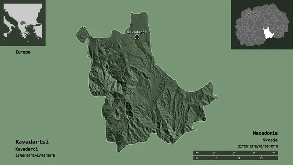
Shape of Kavadartsi, municipality of Macedonia, and its capital. Distance scale, previews and labels. Colored elevation map. 3D rendering
Shape Kavadartsi Municipality Macedonia Its Capital Distance Scale Previews Labels — Stock Photo, Image
Pozesko-Slavonska, county of Croatia. Solid color shape. Locations and names of major cities of the region. Corner auxiliary location maps
Pozesko Slavonska County Croatia Solid Color Shape Locations Names Major — Stock Photo, Image
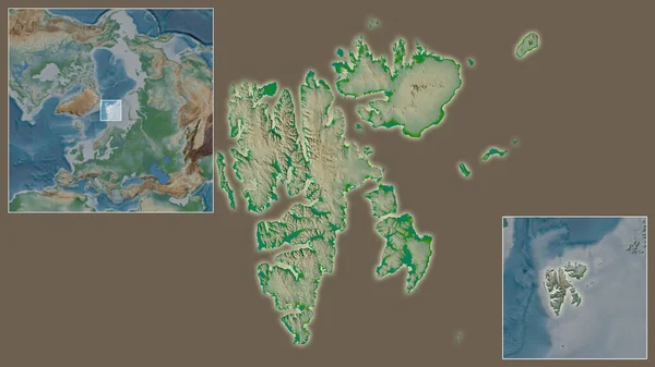
Close-up of Svalbard and its location in the region and in the center of a large-scale world map. Color physical map
Close Svalbard Its Location Region Center Large Scale World Map — Stock Photo, Image
Shape of Bretagne, region of France, with its capital isolated on solid background. Distance scale, region preview and labels. Topographic relief map. 3D rendering
Shape Bretagne Region France Its Capital Isolated Solid Background Distance — Stock Photo, Image
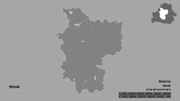
Shape of Minsk, region of Belarus, with its capital isolated on solid background. Distance scale, region preview and labels. Bilevel elevation map. 3D rendering
Shape Minsk Region Belarus Its Capital Isolated Solid Background Distance — Stock Photo, Image
Shape of Vasilevo, municipality of Macedonia, and its capital. Distance scale, previews and labels. Satellite imagery. 3D rendering
Shape Vasilevo Municipality Macedonia Its Capital Distance Scale Previews Labels — Stock Photo, Image
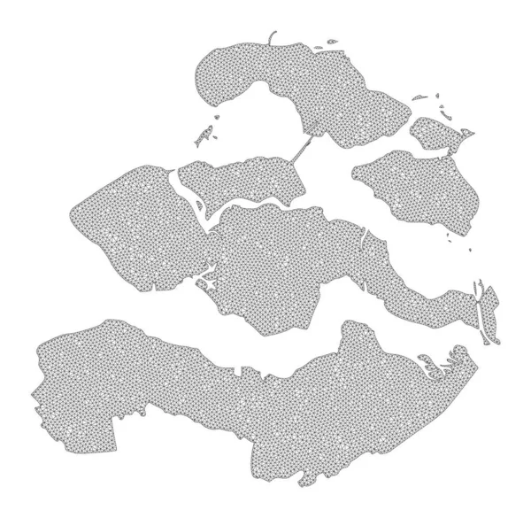
Polygonal Wire Frame Mesh High Detail Raster Map of Zeeland Province Abstractions
Polygonal Wire Frame Mesh High Detail Raster Map of Zeeland Province Abstractions — Stock Photo, Image
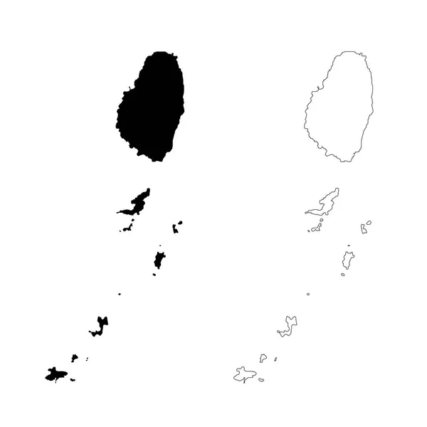
Map Saint Vincent and the Grenadines. Isolated Illustration. Black on White background.
Map Saint Vincent Grenadines Isolated Illustration Black White Background — Stock Photo, Image
Polygonal Network Mesh High Resolution Raster Map of Svalbard Islands Abstractions
Polygonal Network Mesh High Resolution Raster Map of Svalbard Islands Abstractions — Stock Photo, Image
Shape of Kalasin, province of Thailand, and its capital. Distance scale, previews and labels. Colored elevation map. 3D rendering
Shape Kalasin Province Thailand Its Capital Distance Scale Previews Labels — Stock Photo, Image
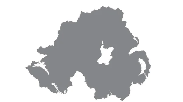
Northern Ireland map with gray tone on white background,illustration,textured , Symbols of Northern Ireland
Northern Ireland Map Gray Tone White Background Illustration Textured Symbols — Stock Photo, Image
Northern Ireland map with gray tone on white background,illustration,textured , Symbols of Northern Ireland
Northern Ireland Map Gray Tone White Background Illustration Textured Symbols — Stock Photo, Image
White oil drops
White oil drops — Stock Photo, Image
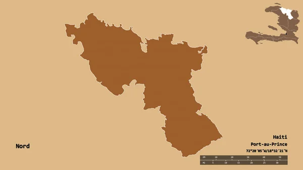
Shape of Nord, department of Haiti, with its capital isolated on solid background. Distance scale, region preview and labels. Composition of patterned textures. 3D rendering
Shape Nord Department Haiti Its Capital Isolated Solid Background Distance — Stock Photo, Image
Map of Venezuela.
Map of Venezuela. — Stock Photo, Image
Shape of Roscommon, county of Ireland, with its capital isolated on solid background. Distance scale, region preview and labels. Colored elevation map. 3D rendering
Shape Roscommon County Ireland Its Capital Isolated Solid Background Distance — Stock Photo, Image
Shape of Meath, county of Ireland, with its capital isolated on solid background. Distance scale, region preview and labels. Bilevel elevation map. 3D rendering
Shape Meath County Ireland Its Capital Isolated Solid Background Distance — Stock Photo, Image
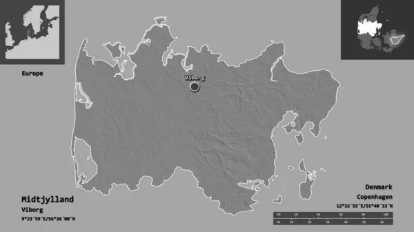
Shape of Midtjylland, region of Denmark, and its capital. Distance scale, previews and labels. Bilevel elevation map. 3D rendering
Shape Midtjylland Region Denmark Its Capital Distance Scale Previews Labels — Stock Photo, Image
Map of Iceland
Map of Iceland — Stock Photo, Image
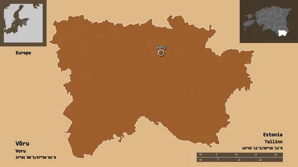
Shape of Voru, county of Estonia, and its capital. Distance scale, previews and labels. Composition of patterned textures. 3D rendering
Shape Voru County Estonia Its Capital Distance Scale Previews Labels — Stock Photo, Image
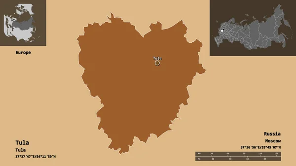
Shape of Tula, region of Russia, and its capital. Distance scale, previews and labels. Composition of regularly patterned textures. 3D rendering
Shape Tula Region Russia Its Capital Distance Scale Previews Labels — Stock Photo, Image
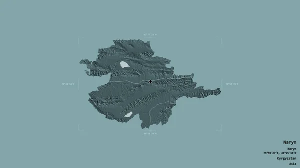
Area of Naryn, province of Kyrgyzstan, isolated on a solid background in a georeferenced bounding box. Labels. Colored elevation map. 3D rendering
Area Naryn Province Kyrgyzstan Isolated Solid Background Georeferenced Bounding Box — Stock Photo, Image
Map of the country of Greenland
Map of the country of Greenland — Stock Photo, Image
Map of the country of Greenland
Map of the country of Greenland — Stock Photo, Image
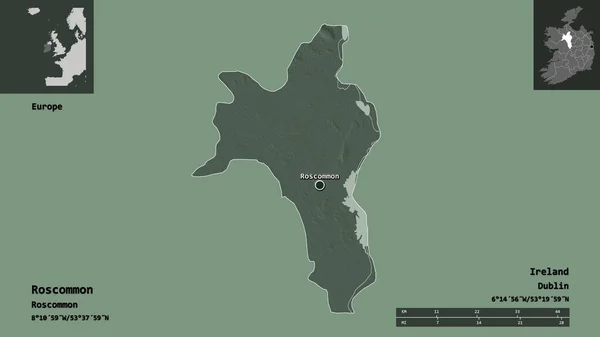
Shape of Roscommon, county of Ireland, and its capital. Distance scale, previews and labels. Colored elevation map. 3D rendering
Shape Roscommon County Ireland Its Capital Distance Scale Previews Labels — Stock Photo, Image
Vestfirir, region of Iceland. Colored elevation map with lakes and rivers. Corner auxiliary location maps
Vestfirir Region Iceland Colored Elevation Map Lakes Rivers Corner Auxiliary — Stock Photo, Image
Shape of Clare, county of Ireland, and its capital. Distance scale, previews and labels. Bilevel elevation map. 3D rendering
Shape Clare County Ireland Its Capital Distance Scale Previews Labels — Stock Photo, Image
Vesturland, region of Iceland. Colored elevation map with lakes and rivers. Corner auxiliary location maps
Vesturland Region Iceland Colored Elevation Map Lakes Rivers Corner Auxiliary — Stock Photo, Image
Polygonal Wire Frame Mesh High Resolution Raster Map of Saint John Island Abstractions
Polygonal Wire Frame Mesh High Resolution Raster Map of Saint John Island Abstractions — Stock Photo, Image
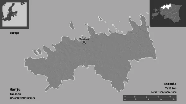
Shape of Harju, county of Estonia, and its capital. Distance scale, previews and labels. Bilevel elevation map. 3D rendering
Shape Harju County Estonia Its Capital Distance Scale Previews Labels — Stock Photo, Image
Polygonal Network Mesh High Resolution Raster Map of Komodo Island Abstractions
Polygonal Network Mesh High Resolution Raster Map of Komodo Island Abstractions — Stock Photo, Image
Map of Faroe Islands, silver background, map background
Map Faroe Islands Silver Background Map Background — Stock Photo, Image
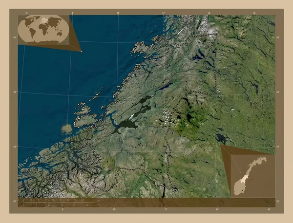
Trndelag, county of Norway. Low resolution satellite map. Corner auxiliary location maps
Trndelag County Norway Low Resolution Satellite Map Corner Auxiliary Location — Stock Photo, Image
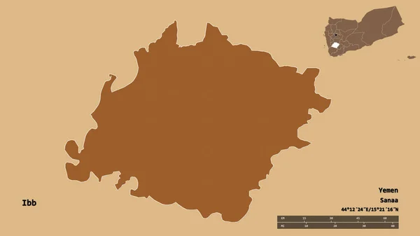
Shape of Ibb, governorate of Yemen, with its capital isolated on solid background. Distance scale, region preview and labels. Composition of patterned textures. 3D rendering
Shape Ibb Governorate Yemen Its Capital Isolated Solid Background Distance — Stock Photo, Image
Shape of Leninabad, region of Tajikistan, with its capital isolated on solid background. Distance scale, region preview and labels. Colored elevation map. 3D rendering
Shape Leninabad Region Tajikistan Its Capital Isolated Solid Background Distance — Stock Photo, Image
Fictional map of imaginary world with green continents, blue ocean. Map for banner, poster, print, cover or wall decoration. Imaginary world.
Fictional Map Imaginary World Green Continents Blue Ocean Map Banner — Stock Photo, Image
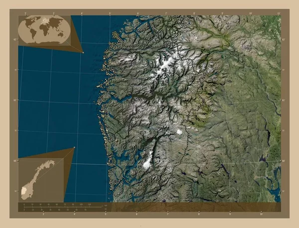
Vestland, county of Norway. Low resolution satellite map. Corner auxiliary location maps
Vestland County Norway Low Resolution Satellite Map Corner Auxiliary Location — Stock Photo, Image
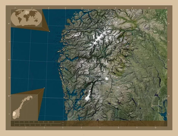
Vestland, county of Norway. Low resolution satellite map. Locations of major cities of the region. Corner auxiliary location maps
Vestland County Norway Low Resolution Satellite Map Locations Major Cities — Stock Photo, Image
Shape of Tatarstan, republic of Russia, and its capital. Distance scale, previews and labels. Colored elevation map. 3D rendering
Shape Tatarstan Republic Russia Its Capital Distance Scale Previews Labels — Stock Photo, Image
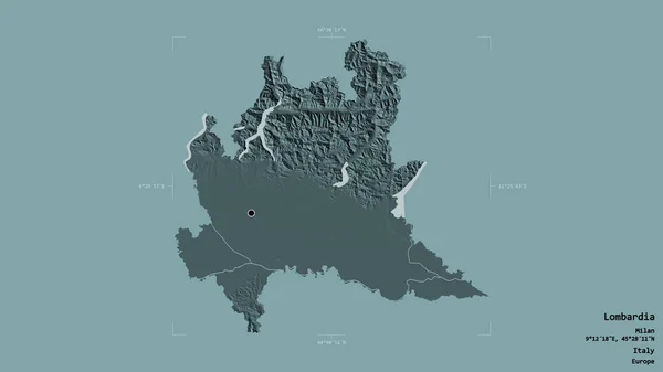
Area of Lombardia, region of Italy, isolated on a solid background in a georeferenced bounding box. Labels. Colored elevation map. 3D rendering
Area Lombardia Region Italy Isolated Solid Background Georeferenced Bounding Box — Stock Photo, Image
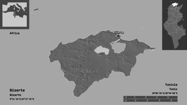
Shape of Bizerte, governorate of Tunisia, and its capital. Distance scale, previews and labels. Bilevel elevation map. 3D rendering
Shape Bizerte Governorate Tunisia Its Capital Distance Scale Previews Labels — Stock Photo, Image
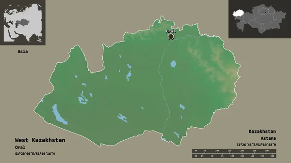
Shape of West Kazakhstan, region of Kazakhstan, and its capital. Distance scale, previews and labels. Topographic relief map. 3D rendering
Shape West Kazakhstan Region Kazakhstan Its Capital Distance Scale Previews — Stock Photo, Image
Shape of Meath, county of Ireland, with its capital isolated on solid background. Distance scale, region preview and labels. Colored elevation map. 3D rendering
Shape Meath County Ireland Its Capital Isolated Solid Background Distance — Stock Photo, Image
Iceland Black Silhouette Map Outline Isolated on White 3D Illust
Iceland Black Silhouette Map Outline Isolated on White 3D Illust — Stock Photo, Image
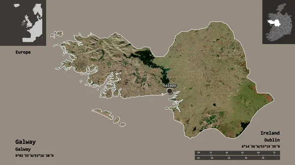
Shape of Galway, county of Ireland, and its capital. Distance scale, previews and labels. Satellite imagery. 3D rendering
Shape Galway County Ireland Its Capital Distance Scale Previews Labels — Stock Photo, Image
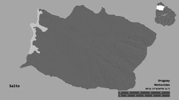
Shape of Salto, department of Uruguay, with its capital isolated on solid background. Distance scale, region preview and labels. Bilevel elevation map. 3D rendering
Shape Salto Department Uruguay Its Capital Isolated Solid Background Distance — Stock Photo, Image
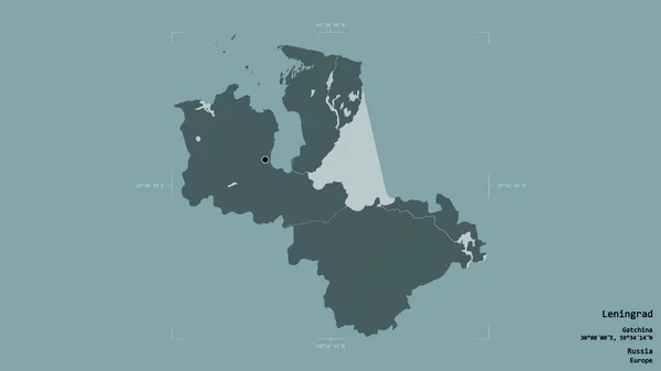
Area of Leningrad, region of Russia, isolated on a solid background in a georeferenced bounding box. Labels. Colored elevation map. 3D rendering
Area Leningrad Region Russia Isolated Solid Background Georeferenced Bounding Box — Stock Photo, Image
Area of Schleswig-Holstein, state of Germany, isolated on a solid background in a georeferenced bounding box. Labels. Colored elevation map. 3D rendering
Area Schleswig Holstein State Germany Isolated Solid Background Georeferenced Bounding — Stock Photo, Image
Switzerland map set outline illustration. Stock
Switzerland map set outline illustration. Stock — Stock Photo, Image
Shape of Demir Hisar, municipality of Macedonia, with its capital isolated on solid background. Distance scale, region preview and labels. Colored elevation map. 3D rendering
Shape Demir Hisar Municipality Macedonia Its Capital Isolated Solid Background — Stock Photo, Image
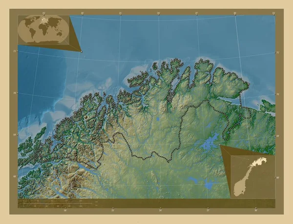
Troms og Finnmark, county of Norway. Colored elevation map with lakes and rivers. Corner auxiliary location maps
Troms Finnmark County Norway Colored Elevation Map Lakes Rivers Corner — Stock Photo, Image
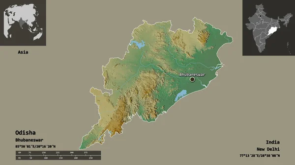
Shape of Odisha, state of India, and its capital. Distance scale, previews and labels. Topographic relief map. 3D rendering
Shape Odisha State India Its Capital Distance Scale Previews Labels — Stock Photo, Image
Vesturland, region of Iceland. Colored elevation map with lakes and rivers. Locations and names of major cities of the region. Corner auxiliary location maps
Vesturland Region Iceland Colored Elevation Map Lakes Rivers Locations Names — Stock Photo, Image
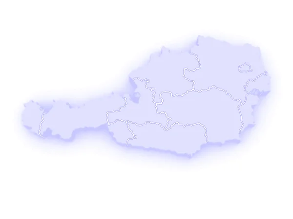
Three-dimensional map of Austria.
Three-dimensional map of Austria. — Stock Photo, Image
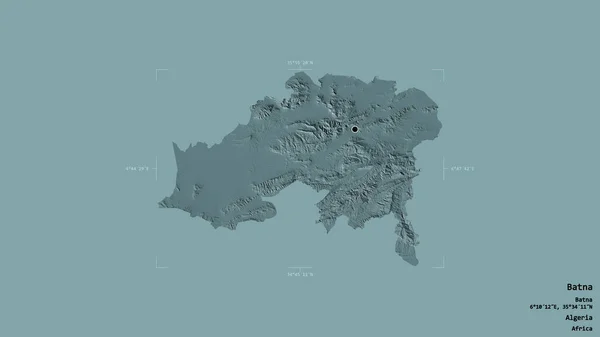
Area of Batna, province of Algeria, isolated on a solid background in a georeferenced bounding box. Labels. Colored elevation map. 3D rendering
Area Batna Province Algeria Isolated Solid Background Georeferenced Bounding Box — Stock Photo, Image
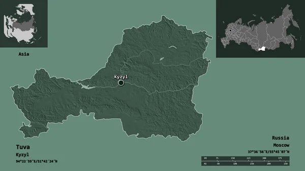
Shape of Tuva, republic of Russia, and its capital. Distance scale, previews and labels. Colored elevation map. 3D rendering
Shape Tuva Republic Russia Its Capital Distance Scale Previews Labels — Stock Photo, Image
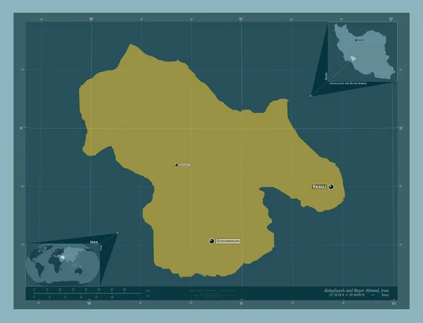
Kohgiluyeh and Buyer Ahmad, province of Iran. Solid color shape. Locations and names of major cities of the region. Corner auxiliary location maps
Kohgiluyeh Buyer Ahmad Province Iran Solid Color Shape Locations Names — Stock Photo, Image
Aqua border gold white marble pattern and luxury interior wall tile and floor texture
Aqua Border Gold White Marble Pattern Luxury Interior Wall Tile — Stock Photo, Image
Debub, region of Eritrea. Solid color shape. Locations and names of major cities of the region. Corner auxiliary location maps
Debub Region Eritrea Solid Color Shape Locations Names Major Cities — Stock Photo, Image
Shape of Suhbaatar, province of Mongolia, and its capital. Distance scale, previews and labels. Bilevel elevation map. 3D rendering
Shape Suhbaatar Province Mongolia Its Capital Distance Scale Previews Labels — Stock Photo, Image
Illustration on a White background of Greenland
Illustration on a White background of Greenland — Stock Photo, Image
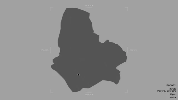
Area of Maradi, department of Niger, isolated on a solid background in a georeferenced bounding box. Labels. Bilevel elevation map. 3D rendering
Area Maradi Department Niger Isolated Solid Background Georeferenced Bounding Box — Stock Photo, Image
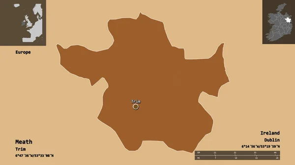
Shape of Meath, county of Ireland, and its capital. Distance scale, previews and labels. Composition of patterned textures. 3D rendering
Shape Meath County Ireland Its Capital Distance Scale Previews Labels — Stock Photo, Image

Discover the Best Iceland Map Images for Your Next Project

If you're searching for high-quality Iceland map images, you have come to the right place. Our stock image selection includes a variety of stunning maps that capture the beauty and unique geography of Iceland. From modern designs to vintage prints, you'll find the perfect image for your project.

The Importance of Choosing the Right Image

When selecting images for your project, it's important to choose ones that capture the essence of what you're trying to convey. In the case of Iceland map images, you want to select ones that accurately depict Iceland's landforms, geographical features, and cultural aspects.

Your image choice can make or break your project. A high-quality image ensures that your project looks professional and attracts attention. Consider choosing images that are authentic to Iceland's culture and geography, as this will capture the attention of people who are interested in Iceland.

The Best Types of Iceland Map Images

Our extensive collection of Iceland map images includes different types of maps, from political to topographical to historical. When choosing a map type, consider the type of project you're working on and select an image that will complement it.

If you're designing a travel brochure for Iceland, you might want to consider a physical map that highlights tourist attractions and popular destinations. Similarly, if you're working on a history project, you might want to consider a vintage map of Iceland that will transport your readers to a different era.
Where Can You Use Iceland Map Images?

Iceland map images can be used in a variety of projects, including websites, social media posts, brochures, books, and more. Adding a map to your project can give it more credibility and make it more engaging for your audience.

Consider using Iceland map images in tourism-related projects, geography textbooks, or travel guides. These images can also be used in presentations or blog posts to provide an overview of Iceland and its unique features.

How to Choose the Right Iceland Map Image?

Choosing the right Iceland map image for your project can be challenging. It's often difficult to find an image that accurately reflects your project's theme and tone. Here are some practical tips to help you choose the right map image:

  • Consider the image's resolution, quality, and format
  • Make sure the colors match your project's theme and tone
  • Use images that accurately depict Iceland's geography and cultural aspects
  • Take note of the image's copyright and usage restrictions

By considering these factors, you can choose the right Iceland map image that will help bring your project to life.

Choose the Perfect Iceland Map Image Today

At our stock image website, we offer an extensive collection of Iceland map images that are perfect for a wide range of projects. Whether you're designing a travel brochure, a history textbook, or a website, we have the perfect image for you. Browse our selection today and choose the perfect image for your project.