Uae map Stock Photos

100,000 Uae map pictures are available under a royalty-free license

  • Best Match
  • Fresh
  • Popular
1-100 of 100,000
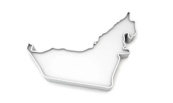
Simple white 3D map of United Arab Emirates. 3D Rendering
Simple white 3D map of United Arab Emirates. 3D Rendering — Stock Photo, Image
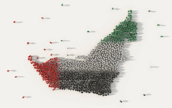
Large group of people forming United Arab Emirates map and national flag in social media and communication concept on white. 3d sign symbol of crowd illustration from above gathered together
Large Group People Forming United Arab Emirates Map National Flag — Stock Photo, Image
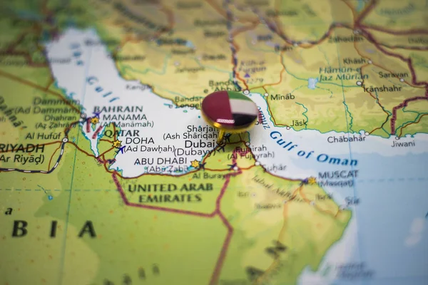
Dubai pinned on a map with the flag of United Arab Emirates
Dubai Pinned Map Flag United Arab Emirates — Stock Photo, Image
Souvenir from Dubai on the map
Souvenir Dubai Map — Stock Photo, Image
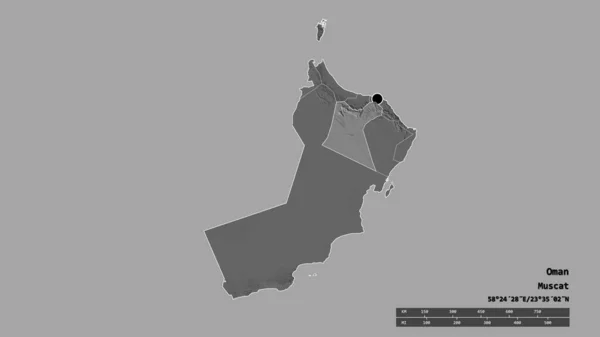
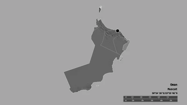
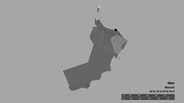
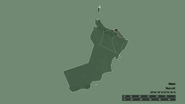
Desaturated shape of Oman with its capital, main regional division and the separated Ad Dakhliyah area. Labels. Bilevel elevation map. 3D rendering
Desaturated Shape Oman Its Capital Main Regional Division Separated Dakhliyah — Stock Photo, Image
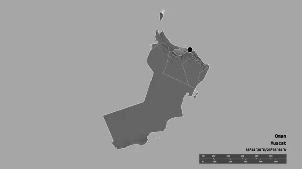
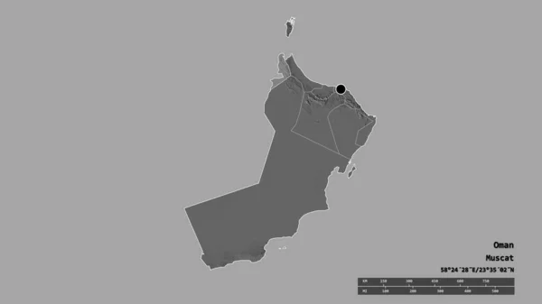
Desaturated shape of Oman with its capital, main regional division and the separated Al Batinah South area. Labels. Bilevel elevation map. 3D rendering
Desaturated Shape Oman Its Capital Main Regional Division Separated Batinah — Stock Photo, Image
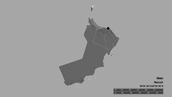
Desaturated shape of Oman with its capital, main regional division and the separated Al Batinah North area. Labels. Bilevel elevation map. 3D rendering
Desaturated Shape Oman Its Capital Main Regional Division Separated Batinah — Stock Photo, Image
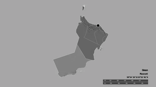
Desaturated shape of Oman with its capital, main regional division and the separated Musandam area. Labels. Bilevel elevation map. 3D rendering
Desaturated Shape Oman Its Capital Main Regional Division Separated Musandam — Stock Photo, Image
Area of Khorezm, region of Uzbekistan, isolated on a solid background in a georeferenced bounding box. Labels. Bilevel elevation map. 3D rendering
Area Khorezm Region Uzbekistan Isolated Solid Background Georeferenced Bounding Box — Stock Photo, Image
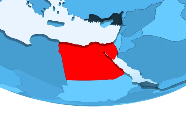
Illustration of Egypt highlighted in red on blue globe with transparent oceans. 3D illustration.
Illustration Egypt Highlighted Red Blue Globe Transparent Oceans Illustration — Stock Photo, Image
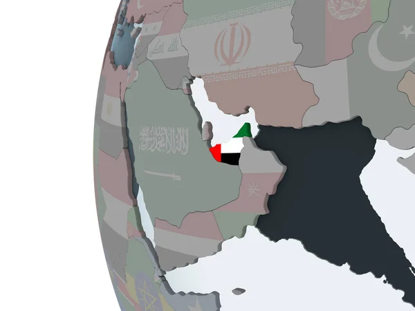
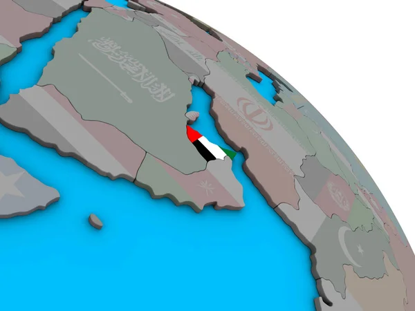
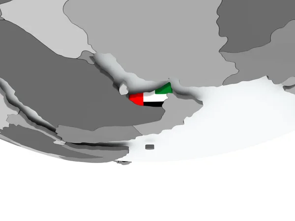
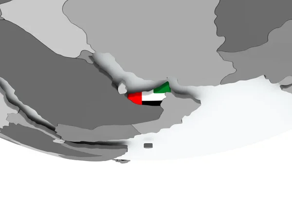
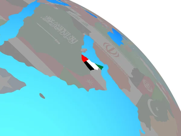
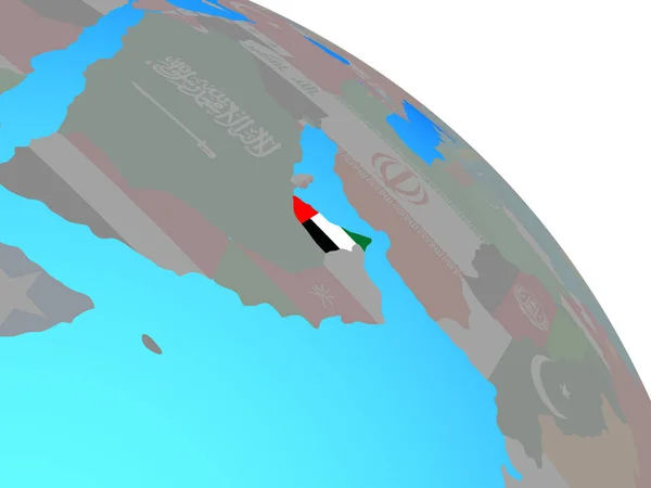
United Arab Emirates on political globe with embedded flag. 3D illustration.
United Arab Emirates Political Globe Embedded Flag Illustration — Stock Photo, Image
Desaturated shape of Oman with its capital, main regional division and the separated Dhofar area. Labels. Bilevel elevation map. 3D rendering
Desaturated Shape Oman Its Capital Main Regional Division Separated Dhofar — Stock Photo, Image
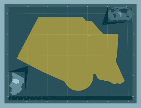
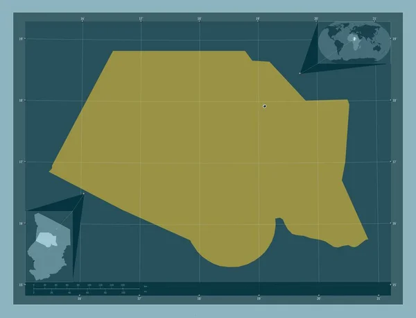
Borkou, region of Chad. Solid color shape. Corner auxiliary location maps
Borkou Region Chad Solid Color Shape Corner Auxiliary Location Maps — Stock Photo, Image
Borkou, region of Chad. Solid color shape. Locations of major cities of the region. Corner auxiliary location maps
Borkou Region Chad Solid Color Shape Locations Major Cities Region — Stock Photo, Image
Map with flag of united arab emirates
Map with flag of united arab emirates — Stock Photo, Image
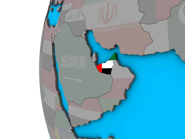
United Arab Emirates with embedded national flag on simple blue political 3D globe. 3D illustration.
United Arab Emirates Embedded National Flag Simple Blue Political Globe — Stock Photo, Image
Egypt in red on model of political globe with transparent oceans. 3D illustration.
Egypt Red Model Political Globe Transparent Oceans Illustration — Stock Photo, Image
Ecuador on globe
Ecuador on globe — Stock Photo, Image
Desaturated shape of Oman with its capital, main regional division and the separated Ash Sharqiyah South area. Labels. Bilevel elevation map. 3D rendering
Desaturated Shape Oman Its Capital Main Regional Division Separated Ash — Stock Photo, Image
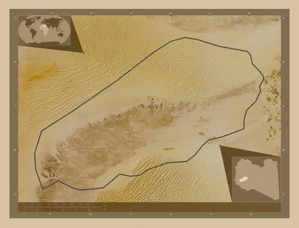
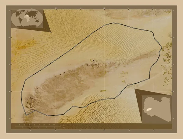
Wadi al Hayat, district of Libya. Low resolution satellite map. Corner auxiliary location maps
Wadi Hayat District Libya Low Resolution Satellite Map Corner Auxiliary — Stock Photo, Image
Wadi al Hayat, district of Libya. Low resolution satellite map. Locations of major cities of the region. Corner auxiliary location maps
Wadi Hayat District Libya Low Resolution Satellite Map Locations Major — Stock Photo, Image
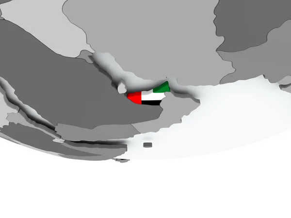
Flag of United Arab Emirates on political globe
Flag of United Arab Emirates on political globe — Stock Photo, Image
Hormozgan, province of Iran. Low resolution satellite map. Locations of major cities of the region. Corner auxiliary location maps
Hormozgan Province Iran Low Resolution Satellite Map Locations Major Cities — Stock Photo, Image
Desaturated shape of Oman with its capital, main regional division and the separated Al Dhahira area. Labels. Bilevel elevation map. 3D rendering
Desaturated Shape Oman Its Capital Main Regional Division Separated Dhahira — Stock Photo, Image
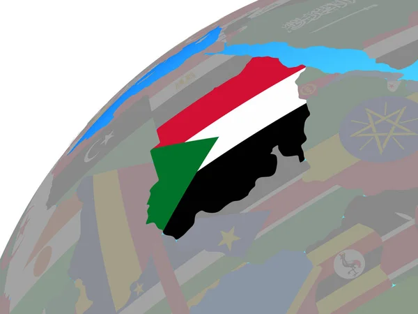
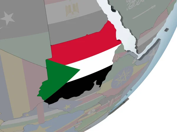
Sudan with embedded national flag on globe. 3D illustration.
Sudan Embedded National Flag Globe Illustration — Stock Photo, Image
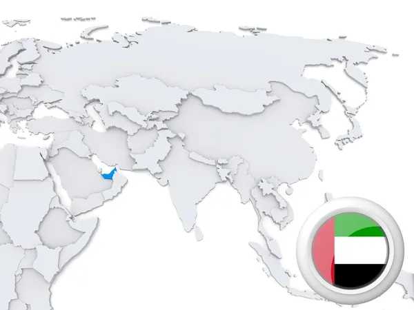
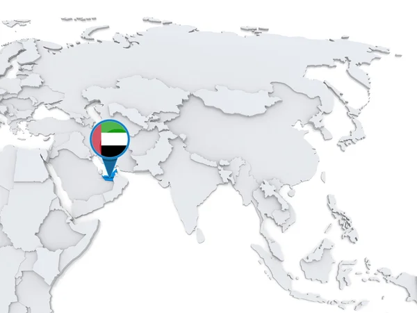
United Arab Emirates on map of Asia
United Arab Emirates on map of Asia — Stock Photo, Image
Area of Algeria isolated on a solid background in a georeferenced bounding box. Main regional division, distance scale, labels. Topographic relief map. 3D rendering
Area Algeria Isolated Solid Background Georeferenced Bounding Box Main Regional — Stock Photo, Image
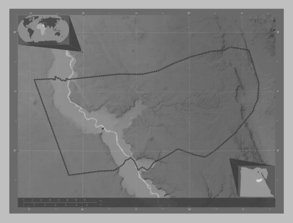
Asyut, governorate of Egypt. Grayscale elevation map with lakes and rivers. Corner auxiliary location maps
Asyut Governorate Egypt Grayscale Elevation Map Lakes Rivers Corner Auxiliary — Stock Photo, Image
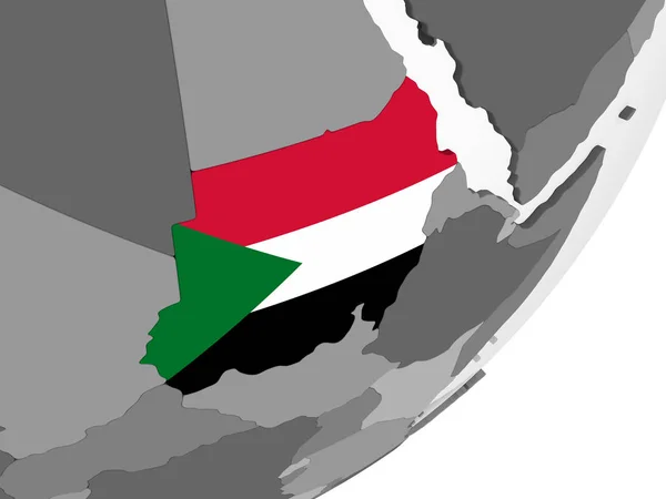
Sudan on gray political globe with embedded flag. 3D illustration.
Sudan Gray Political Globe Embedded Flag Illustration — Stock Photo, Image
Desaturated shape of Oman with its capital, main regional division and the separated Ash Sharqiyah North area. Labels. Bilevel elevation map. 3D rendering
Desaturated Shape Oman Its Capital Main Regional Division Separated Ash — Stock Photo, Image
Desaturated shape of Oman with its capital, main regional division and the separated Al Buraymi area. Labels. Bilevel elevation map. 3D rendering
Desaturated Shape Oman Its Capital Main Regional Division Separated Buraymi — Stock Photo, Image
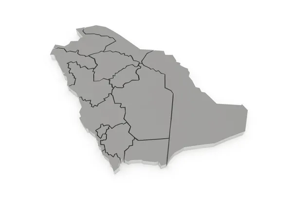
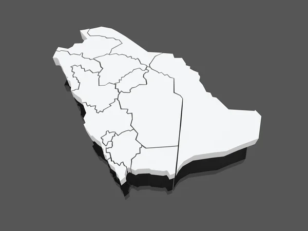
Map of Saudi Arabia.
Map of Saudi Arabia. — Stock Photo, Image
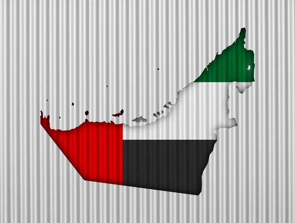
Map and flag of United Arab Emirates on corrugated iron
Map and flag of United Arab Emirates on corrugated iron — Stock Photo, Image
Hormozgan, province of Iran. Low resolution satellite map. Corner auxiliary location maps
Hormozgan Province Iran Low Resolution Satellite Map Corner Auxiliary Location — Stock Photo, Image
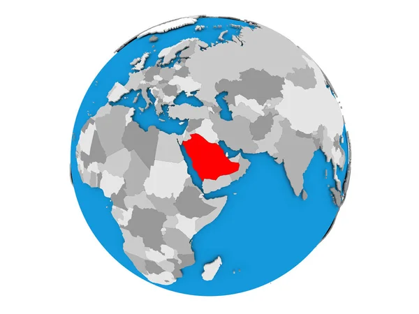
Saudi Arabia on globe isolated
Saudi Arabia on globe isolated — Stock Photo, Image
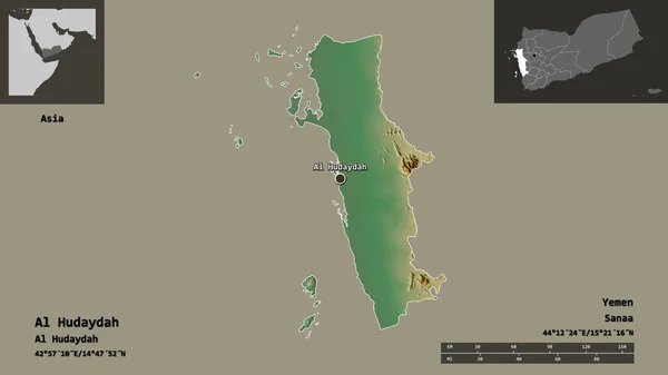
Shape of Al Hudaydah, governorate of Yemen, and its capital. Distance scale, previews and labels. Topographic relief map. 3D rendering
Shape Hudaydah Governorate Yemen Its Capital Distance Scale Previews Labels — Stock Photo, Image
Lebanon with embedded national flag on blue political globe. 3D illustration.
Lebanon Embedded National Flag Blue Political Globe Illustration — Stock Photo, Image
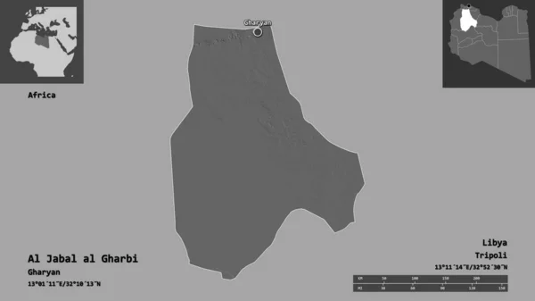
Shape of Al Jabal al Gharbi, district of Libya, and its capital. Distance scale, previews and labels. Bilevel elevation map. 3D rendering
Shape Jabal Gharbi District Libya Its Capital Distance Scale Previews — Stock Photo, Image
An Illustrated Flag on a Whiteboard for the Country of United Arab Emirates
Illustrated Flag Whiteboard Country United Arab Emirates — Stock Photo, Image
Square pin with flag of kuwait on the map
Square pin with flag of kuwait on the map — Stock Photo, Image
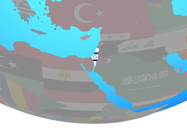
Israel with embedded national flag on blue political globe. 3D illustration.
Israel Embedded National Flag Blue Political Globe Illustration — Stock Photo, Image
Lebanon on political globe with embedded flag. 3D illustration.
Lebanon Political Globe Embedded Flag Illustration — Stock Photo, Image
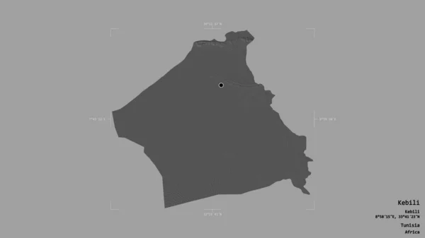
Area of Kebili, governorate of Tunisia, isolated on a solid background in a georeferenced bounding box. Labels. Bilevel elevation map. 3D rendering
Area Kebili Governorate Tunisia Isolated Solid Background Georeferenced Bounding Box — Stock Photo, Image
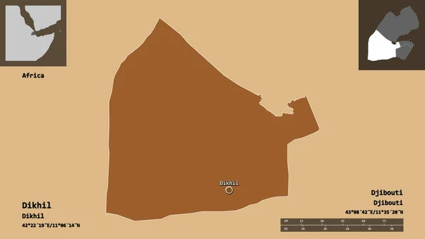
Shape of Dikhil, region of Djibouti, and its capital. Distance scale, previews and labels. Composition of patterned textures. 3D rendering
Shape Dikhil Region Djibouti Its Capital Distance Scale Previews Labels — Stock Photo, Image
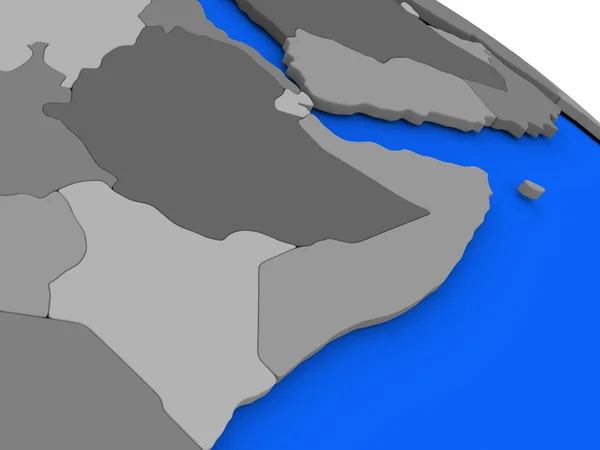
Somalia and Ethiopia on political Earth model
Somalia and Ethiopia on political Earth model — Stock Photo, Image
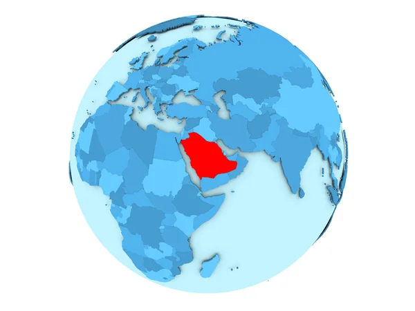
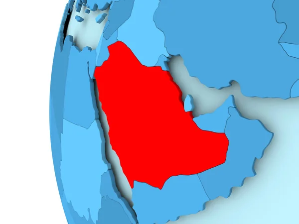
Saudi Arabia on blue globe isolated
Saudi Arabia on blue globe isolated — Stock Photo, Image
Sudan on political globe with embedded flag. 3D illustration.
Sudan Political Globe Embedded Flag Illustration — Stock Photo, Image
Egypt on blue globe
Egypt on blue globe — Stock Photo, Image
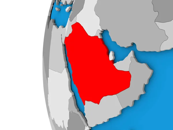
Saudi Arabia on globe
Saudi Arabia on globe — Stock Photo, Image
United Arab Emirates with flag on globe
United Arab Emirates with flag on globe — Stock Photo, Image
United Arab Emirates with flag on globe
United Arab Emirates with flag on globe — Stock Photo, Image
United Arab Emirates with flag on globe
United Arab Emirates with flag on globe — Stock Photo, Image
Area of El Oued, province of Algeria, isolated on a solid background in a georeferenced bounding box. Labels. Bilevel elevation map. 3D rendering
Area Oued Province Algeria Isolated Solid Background Georeferenced Bounding Box — Stock Photo, Image
Map of Saudi Arabia.
Map of Saudi Arabia. — Stock Photo, Image
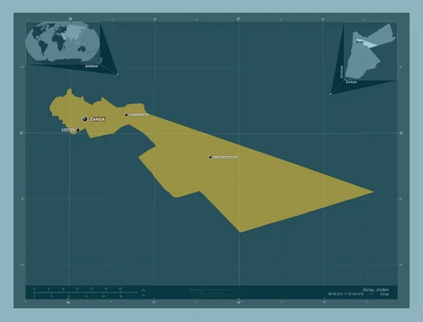
Zarqa, province of Jordan. Solid color shape. Locations and names of major cities of the region. Corner auxiliary location maps
Zarqa Province Jordan Solid Color Shape Locations Names Major Cities — Stock Photo, Image
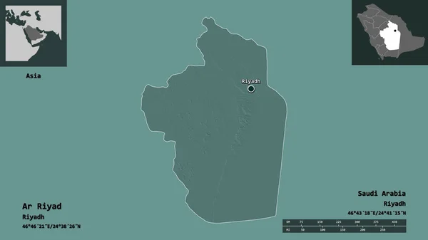
Shape of Ar Riyad, region of Saudi Arabia, and its capital. Distance scale, previews and labels. Colored elevation map. 3D rendering
Shape Riyad Region Saudi Arabia Its Capital Distance Scale Previews — Stock Photo, Image
United Arab Emirates on a map of Asia
United Arab Emirates on a map of Asia — Stock Photo, Image
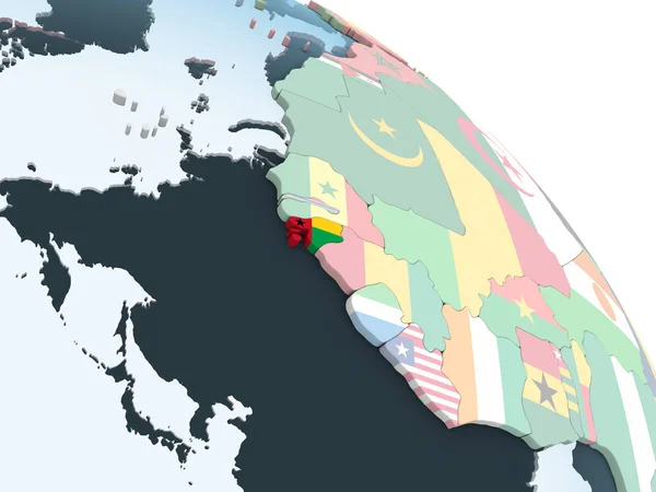
Guinea-Bissau on bright political globe with embedded flag. 3D illustration.
Guinea Bissau Bright Political Globe Embedded Flag Illustration — Stock Photo, Image
Flag of United Arab Emirates on globe
Flag of United Arab Emirates on globe — Stock Photo, Image
Flag of United Arab Emirates on globe
Flag of United Arab Emirates on globe — Stock Photo, Image
Flag of United Arab Emirates on globe
Flag of United Arab Emirates on globe — Stock Photo, Image
Flag of United Arab Emirates on globe
Flag of United Arab Emirates on globe — Stock Photo, Image
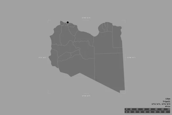
Area of Libya isolated on a solid background in a georeferenced bounding box. Main regional division, distance scale, labels. Bilevel elevation map. 3D rendering
Area Libya Isolated Solid Background Georeferenced Bounding Box Main Regional — Stock Photo, Image
High detailed Outline of the country of SaudiArabia
High detailed Outline of the country of  SaudiArabia — Stock Photo, Image
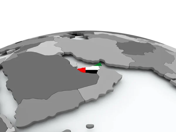
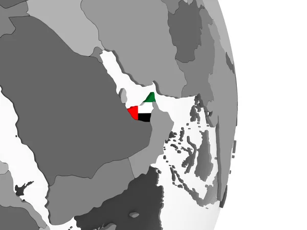
United Arab Emirates on gray political globe with embedded flag. 3D illustration.
United Arab Emirates Gray Political Globe Embedded Flag Illustration — Stock Photo, Image
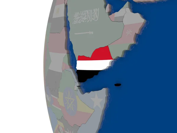
Yemen with national flag
Yemen with national flag — Stock Photo, Image
Map Saudi Arabia. Isolated Illustration. Black on White background.
Map Saudi Arabia Isolated Illustration Black White Background — Stock Photo, Image
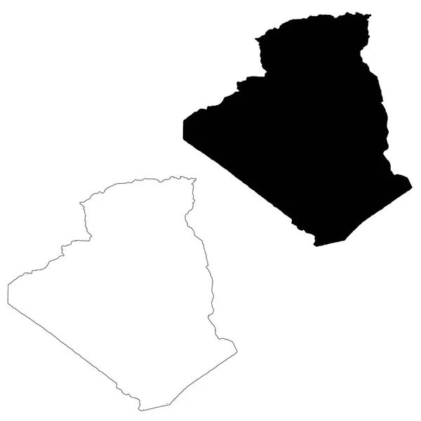
Vector map Algeria. Isolated vector Illustration. Black on White background. EPS 10 Illustration.
Vector Map Algeria Isolated Vector Illustration Black White Background Eps — Stock Photo, Image
Yemen on gray political globe with embedded flag. 3D illustration.
Yemen Gray Political Globe Embedded Flag Illustration — Stock Photo, Image
Shape of Sanliurfa, province of Turkey, and its capital. Distance scale, previews and labels. Composition of patterned textures. 3D rendering
Shape Sanliurfa Province Turkey Its Capital Distance Scale Previews Labels — Stock Photo, Image
Area of Bay, region of Somalia, isolated on a solid background in a georeferenced bounding box. Labels. Composition of patterned textures. 3D rendering
Area Bay Region Somalia Isolated Solid Background Georeferenced Bounding Box — Stock Photo, Image
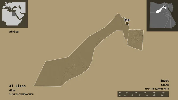
Shape of Al Jizah, governorate of Egypt, and its capital. Distance scale, previews and labels. Colored elevation map. 3D rendering
Shape Jizah Governorate Egypt Its Capital Distance Scale Previews Labels — Stock Photo, Image
3D Isometric Flag Illustration of the country of Kuwait
3D Isometric Flag Illustration of the country of Kuwait — Stock Photo, Image
Israel with national flag on simple political globe. 3D illustration.
Israel National Flag Simple Political Globe Illustration — Stock Photo, Image
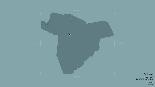
Area of Salamat, region of Chad, isolated on a solid background in a georeferenced bounding box. Labels. Colored elevation map. 3D rendering
Area Salamat Region Chad Isolated Solid Background Georeferenced Bounding Box — Stock Photo, Image
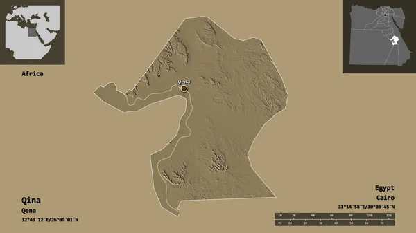
Shape of Qina, governorate of Egypt, and its capital. Distance scale, previews and labels. Colored elevation map. 3D rendering
Shape Qina Governorate Egypt Its Capital Distance Scale Previews Labels — Stock Photo, Image
Yemen on blue globe
Yemen on blue globe — Stock Photo, Image
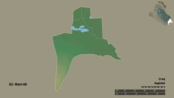
Shape of Al-Basrah, province of Iraq, with its capital isolated on solid background. Distance scale, region preview and labels. Topographic relief map. 3D rendering
Shape Basrah Province Iraq Its Capital Isolated Solid Background Distance — Stock Photo, Image
Chalked map on a chalk board of SaudiArabia
Chalked map on a chalk board of  SaudiArabia — Stock Photo, Image
Kuwait and Cyprus Flags on White Background
Kuwait Cyprus Flags White Background — Stock Photo, Image
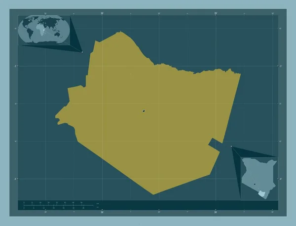
Taita Taveta, county of Kenya. Solid color shape. Corner auxiliary location maps
Taita Taveta County Kenya Solid Color Shape Corner Auxiliary Location — Stock Photo, Image
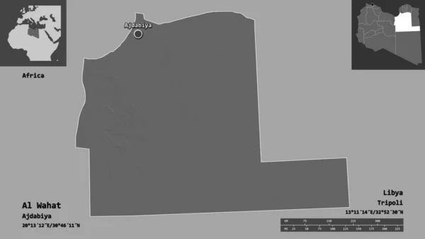
Shape of Al Wahat, district of Libya, and its capital. Distance scale, previews and labels. Bilevel elevation map. 3D rendering
Shape Wahat District Libya Its Capital Distance Scale Previews Labels — Stock Photo, Image
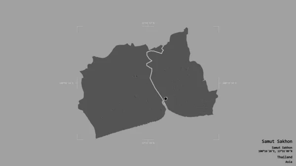
Area of Samut Sakhon, province of Thailand, isolated on a solid background in a georeferenced bounding box. Labels. Bilevel elevation map. 3D rendering
Area Samut Sakhon Province Thailand Isolated Solid Background Georeferenced Bounding — Stock Photo, Image
Map of Saudi Arabia on political globe
Map of Saudi Arabia on political globe — Stock Photo, Image
Shape of Al Buhayrah, governorate of Egypt, and its capital. Distance scale, previews and labels. Bilevel elevation map. 3D rendering
Shape Buhayrah Governorate Egypt Its Capital Distance Scale Previews Labels — Stock Photo, Image
United Arab Emirates with national flag on simple blue political globe. 3D illustration.
United Arab Emirates National Flag Simple Blue Political Globe Illustration — Stock Photo, Image
United Arab Emirates with national flag on simple blue political globe. 3D illustration.
United Arab Emirates National Flag Simple Blue Political Globe Illustration — Stock Photo, Image
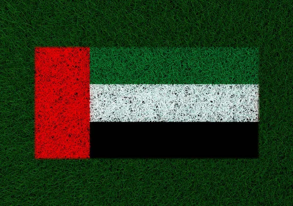
Flag of United Arab Emirates grass texture
Flag United Arab Emirates Grass Texture — Stock Photo, Image
United Arab Emirates with national flag on blue political 3D globe. 3D illustration.
United Arab Emirates National Flag Blue Political Globe Illustration — Stock Photo, Image
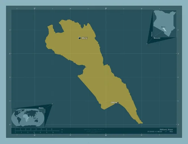
Makueni, county of Kenya. Solid color shape. Locations and names of major cities of the region. Corner auxiliary location maps
Makueni County Kenya Solid Color Shape Locations Names Major Cities — Stock Photo, Image
A beautiful female hand holds a United Arab Emirates flag to which she shows the finger of her other hand, isolated on white background.
Beautiful Female Hand Holds United Arab Emirates Flag Which She — Stock Photo, Image
Al Marqab, district of Libya. Solid color shape. Locations of major cities of the region. Corner auxiliary location maps
Marqab District Libya Solid Color Shape Locations Major Cities Region — Stock Photo, Image
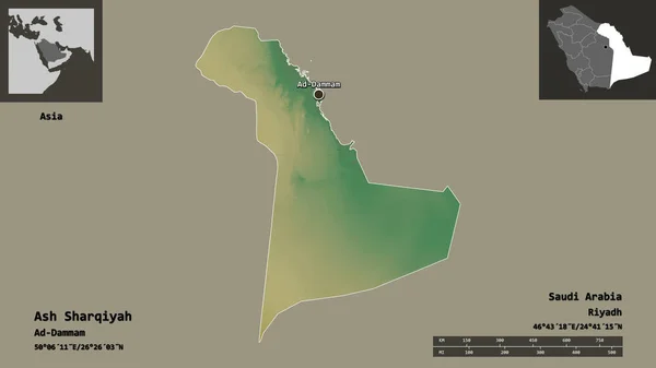
Shape of Ash Sharqiyah, region of Saudi Arabia, and its capital. Distance scale, previews and labels. Topographic relief map. 3D rendering
Shape Ash Sharqiyah Region Saudi Arabia Its Capital Distance Scale — Stock Photo, Image
Desaturated shape of Oman with its capital, main regional division and the separated Muscat area. Labels. Colored elevation map. 3D rendering
Desaturated Shape Oman Its Capital Main Regional Division Separated Muscat — Stock Photo, Image
Libya on blue globe
Libya on blue globe — Stock Photo, Image
Libya on blue globe
Libya on blue globe — Stock Photo, Image
Mozambique on gray political globe with embedded flag. 3D illustration.
Mozambique Gray Political Globe Embedded Flag Illustration — Stock Photo, Image
Mozambique on gray political globe with embedded flag. 3D illustration.
Mozambique Gray Political Globe Embedded Flag Illustration — Stock Photo, Image
Map of Saudi Arabia
Map of Saudi Arabia — Stock Photo, Image

Get Stunning UAE Map Images for Your Projects

When it comes to finding the perfect images to enhance your projects, you need high-quality visuals that catch the eye and convey your message effectively. Our collection of UAE map images offers a range of options to suit your needs. Whether you're designing a presentation, creating marketing materials, or sprucing up your website, these visually appealing images are sure to make a statement. From JPGs to AI and EPS files, we have the formats you need for seamless integration into your projects.

1. Varied UAE Map Images to Suit Any Project

We understand that every project is unique, and that's why we offer a diverse range of UAE map images. From colorful and vibrant maps to minimalistic and modern designs, there is something to cater to every aesthetic. Choose from different styles, such as detailed city maps, regional maps, and country-wide maps. Whether you're working on a travel brochure, a business presentation, or an educational resource, our collection has the perfect UAE map image to elevate your project.

2. Versatile Formats for Seamless Integration

Our UAE map images are available in a range of formats, including JPG, AI, and EPS. These file types offer flexibility and compatibility for various design software and platforms. The JPG format is perfect for web use and digital presentations due to its small file size and fast loading times. AI and EPS files, on the other hand, allow you to edit and customize the images with ease, making them ideal for print materials and graphic design projects. With these formats at your disposal, you can effortlessly incorporate our UAE map images into any project.

3. Enhance Your Presentations and Marketing Materials

A picture is worth a thousand words, and our UAE map images are no exception. When it comes to presentations, a visually captivating map can help engage your audience and convey information effectively. Use our maps to highlight key statistics, showcase business locations, or visualize demographic data. In marketing materials, these images can add a professional touch, whether you're promoting a travel destination, showcasing business expansion, or simply adding visual interest to your content. Our UAE map images are the perfect tool to captivate your audience and leave a lasting impression.

4. Practical Tips for Using UAE Map Images

Here are some practical tips to ensure you make the most of our UAE map images:

  • Consider your target audience and project goals when selecting a map style. A minimalist design may be more suitable for a sleek corporate presentation, while a more detailed map could work well for a tourism brochure.
  • Pay attention to color palettes and ensure they align with your brand or project theme for cohesive visuals.
  • Remember to credit the source of the image if required, especially if you're using the images in publications or on a website.
  • Keep the resolution in mind. Higher resolution images are ideal for print projects to ensure clarity and sharpness, while lower resolution images are suitable for digital use.
  • Consider adding labels or callouts on the map to highlight specific locations or areas of interest.

By following these tips, you can effectively incorporate our UAE map images into your projects, creating visually appealing and impactful content.

With our collection of high-quality UAE map images, you can enhance your projects and leave a lasting impression. Whether you're working on presentations, marketing materials, or web design, our visually stunning maps are sure to elevate your work. Don't settle for mediocre visuals - choose from our varied collection of UAE map images to make your projects shine.