Czech republic map Stock Photos

100,000 Czech republic map pictures are available under a royalty-free license

  • Best Match
  • Fresh
  • Popular
1-100 of 100,000
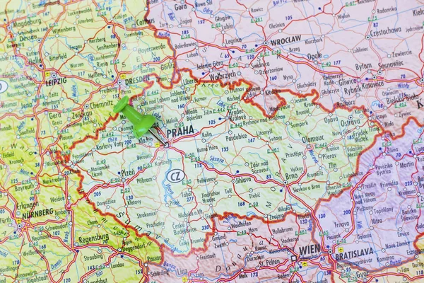
Green push pin pointing at Prague
Green push pin pointing at Prague — Stock Photo, Image
Czech republic map glass card paper 3D raster
Czech republic map glass card paper 3D raster — Stock Photo, Image
Waving flag of Czech Republic
Waving flag of Czech Republic — Stock Photo, Image
Map of Czech Republic and Slovakia.
Map of Czech Republic and Slovakia. — Stock Photo, Image
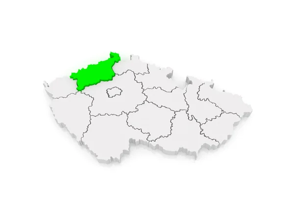
Map of Usti region. Czech Republic.
Map of Usti region. Czech Republic. — Stock Photo, Image
National flag of Czech Republic
National flag of Czech Republic — Stock Photo, Image
Waving flag of Czech Republic
Waving flag of Czech Republic — Stock Photo, Image
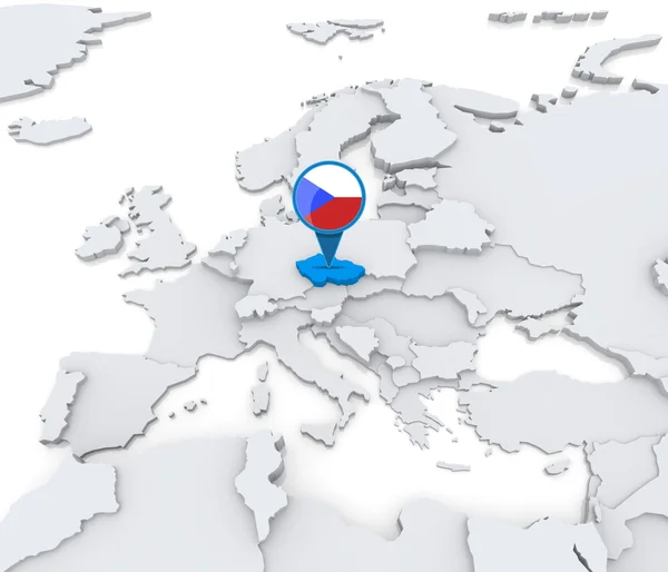
Czech Republic on a map of Europe
Czech Republic on a map of Europe — Stock Photo, Image
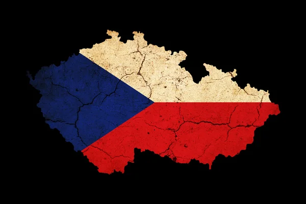
Czech Republic grunge map outline with flag
Czech Republic grunge map outline with flag — Stock Photo, Image
European country czech republic and detailed regions
European Country Czech Republic Detailed Regions — Stock Photo, Image
New region of France - Alsace, Lorraine
New region of France - Alsace, Lorraine — Stock Photo, Image
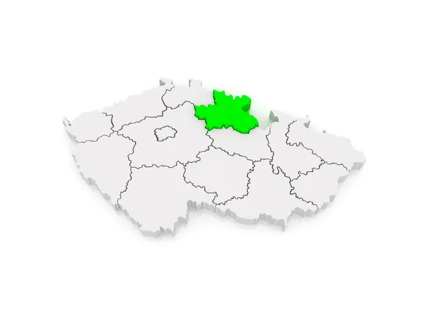
Map of Hradec Kralove Region. Czech Republic.
Map of Hradec Kralove Region. Czech Republic. — Stock Photo, Image
Map of Mecklenburg-Western Pomerania. Germany.
Map of Mecklenburg-Western Pomerania. Germany. — Stock Photo, Image
Map of Europe and Czech.
Map of Europe and Czech. — Stock Photo, Image
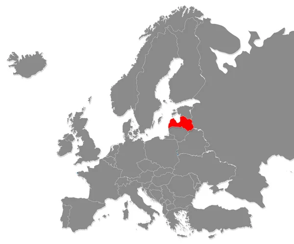
Map of Latvia highligted with red in Europe map. 3d rendering
Map Latvia Highligted Red Europe Map Rendering — Stock Photo, Image
Poland Abstract 3D Map Northern Eastern Europe
Poland Abstract 3D Map Northern Eastern Europe — Stock Photo, Image
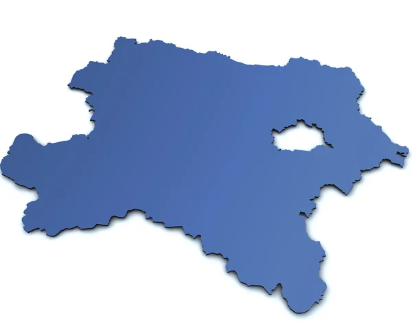
Map of Lower Austria- isolated
Map of Lower Austria- isolated — Stock Photo, Image
Map of Usti region. Czech Republic.
Map of Usti region. Czech Republic. — Stock Photo, Image
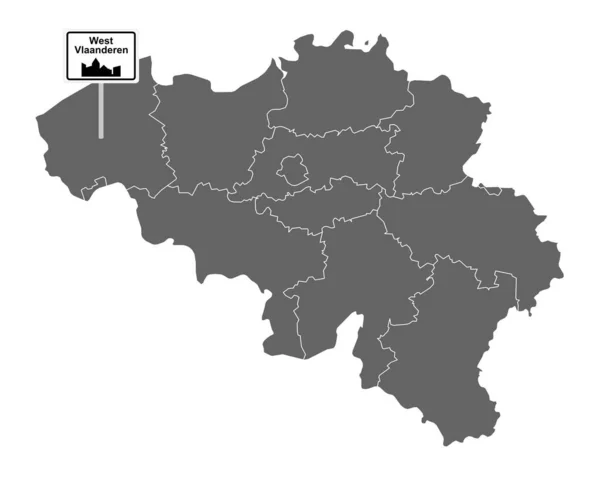
Map of Belgium
Map of Belgium — Stock Photo, Image
Map of Albania
Map of Albania — Stock Photo, Image
Map of Moldova
Map of Moldova — Stock Photo, Image
Map of Europe and Lithuania.
Map of Europe and Lithuania. — Stock Photo, Image
Flag of Tessin canton on map of switzerland
Flag of Tessin canton on map of switzerland — Stock Photo, Image
Vector map Belgium. Isolated vector Illustration. Black on White background. EPS 10 Illustration.
Vector Map Belgium Isolated Vector Illustration Black White Background Eps — Stock Photo, Image
Map of Poland
Map of Poland — Stock Photo, Image
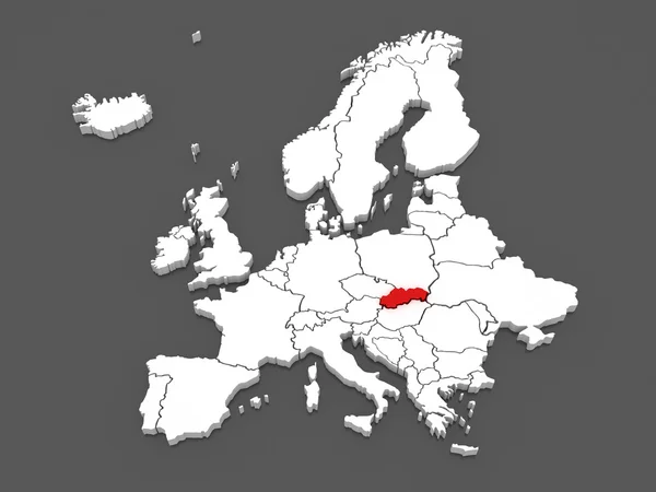
Slovakia in red on map
Slovakia in red on map — Stock Photo, Image
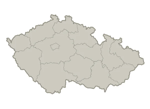
Czech map, individual regions, blank
Czech Map Individual Regions Blank — Stock Photo, Image
Map of Hradec Kralove Region. Czech Republic.
Map of Hradec Kralove Region. Czech Republic. — Stock Photo, Image
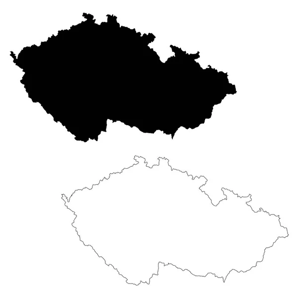
Map Czech Republic. Isolated Illustration. Black on White background.
Map Czech Republic Isolated Illustration Black White Background — Stock Photo, Image
Map of Belarus
Map of Belarus — Stock Photo, Image
Map of Saxony-Anhalt. Germany.
Map of Saxony-Anhalt. Germany. — Stock Photo, Image
Political map of south korea
Political Map South Korea — Stock Photo, Image
Map of Capital of Prague. Czech Republic.
Map of Capital of Prague. Czech Republic. — Stock Photo, Image
Map of Lower Austria
Map of Lower Austria — Stock Photo, Image
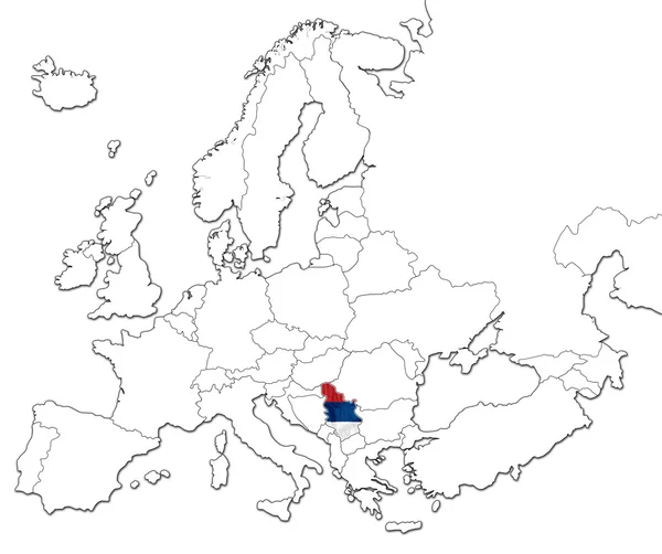
Map of Serbia
Map of Serbia — Stock Photo, Image
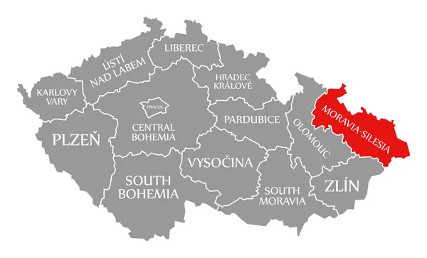
Moravia Silesia red highlighted in map of Czech Republic
Moravia Silesia red highlighted in map of Czech Republic — Stock Photo, Image
South Moravia red highlighted in map of Czech Republic
South Moravia red highlighted in map of Czech Republic — Stock Photo, Image
Map of Austria
Map of Austria — Stock Photo, Image
Map of Moravian. Czech Republic.
Map of Moravian. Czech Republic. — Stock Photo, Image
Illustration map of Ukraine in golden color on a black background, relief.
Illustration Map Ukraine Golden Color Black Background Relief — Stock Photo, Image
Black and white vector illustration of usa map
Black White Vector Illustration Usa Map — Stock Photo, Image
Czech republic on 3D map
Czech republic on 3D map — Stock Photo, Image
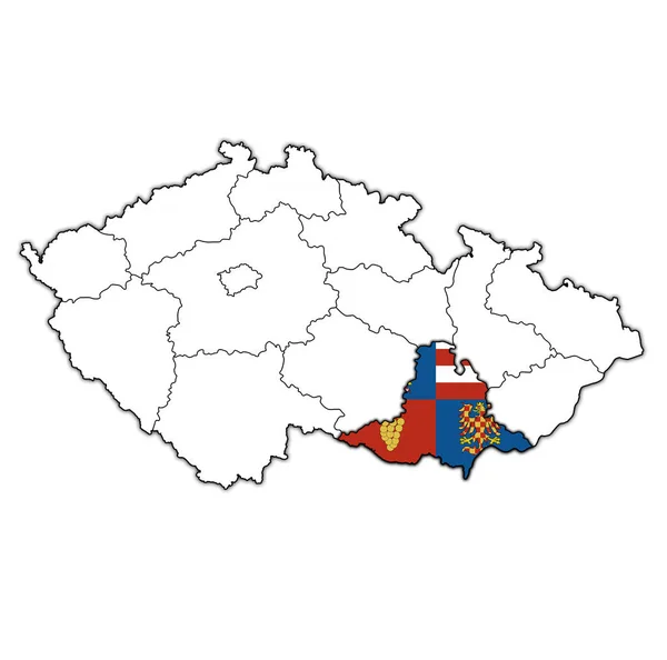
Emblem of South moravian region on map with administrative divisions and borders of Czech Republic
Emblem South Moravian Region Map Administrative Divisions Borders Czech Republic — Stock Photo, Image
Territories of regions on map with administrative divisions and borders of Czech Republic with clipping path
Territories Regions Map Administrative Divisions Borders Czech Republic Clipping Path — Stock Photo, Image
Icon Illustration with Four Color Variations
Icon Illustration with Four Color Variations — Stock Photo, Image
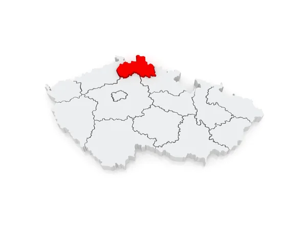
Map of Liberec. Czech Republic.
Map of Liberec. Czech Republic. — Stock Photo, Image
Map of baden-wuerttemberg with borders in gray
Map Baden Wuerttemberg Borders Gray — Stock Photo, Image
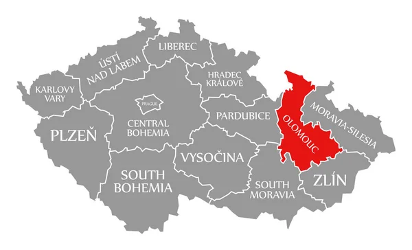
Olomouc red highlighted in map of Czech Republic
Olomouc red highlighted in map of Czech Republic — Stock Photo, Image
Map of Capital of Prague. Czech Republic.
Map of Capital of Prague. Czech Republic. — Stock Photo, Image
Map of Tyrol- isolated
Map of Tyrol- isolated — Stock Photo, Image
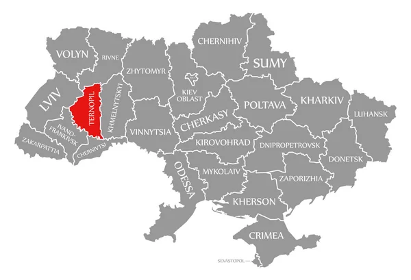
Ternopil red highlighted in map of the Ukraine
Ternopil red highlighted in map of the Ukraine — Stock Photo, Image
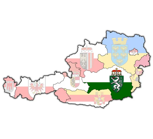
Styria on map of austria
Styria on map of austria — Stock Photo, Image
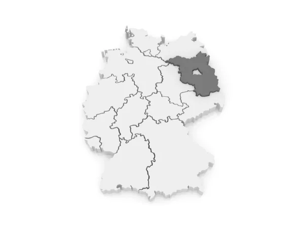
Map of Brandenburg. Germany.
Map of Brandenburg. Germany. — Stock Photo, Image
Poland on map
Poland on map — Stock Photo, Image
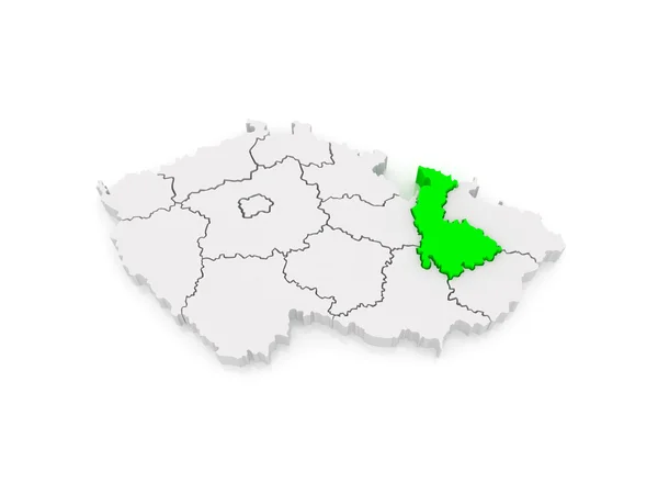
Map of Olomouc. Czech Republic.
Map of Olomouc. Czech Republic. — Stock Photo, Image
Map of Europe and Poland.
Map of Europe and Poland. — Stock Photo, Image
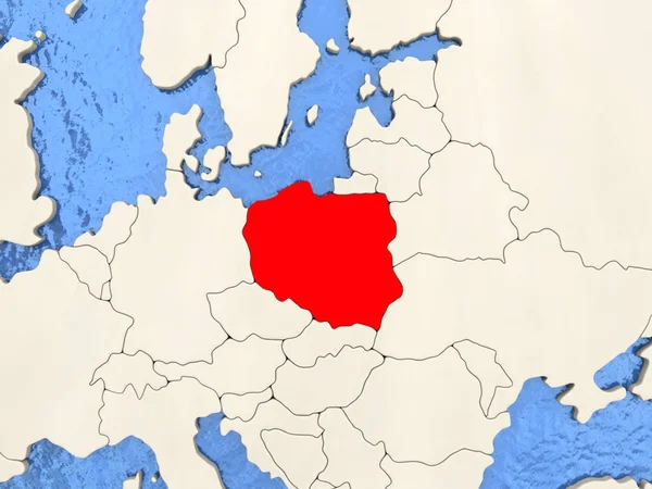
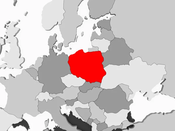
Poland in red on grey political map with transparent oceans. 3D illustration.
Poland Red Grey Political Map Transparent Oceans Illustration — Stock Photo, Image
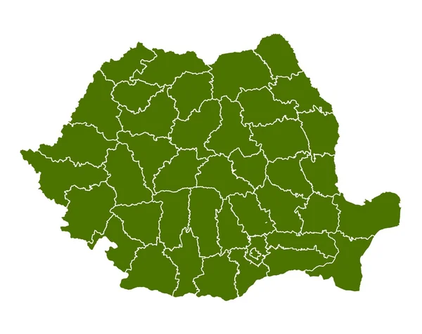
Romania
Romania — Stock Photo, Image
Polygonal Network Mesh High Resolution Raster Map of Valladolid Province Abstractions
Polygonal Network Mesh High Resolution Raster Map of Valladolid Province Abstractions — Stock Photo, Image
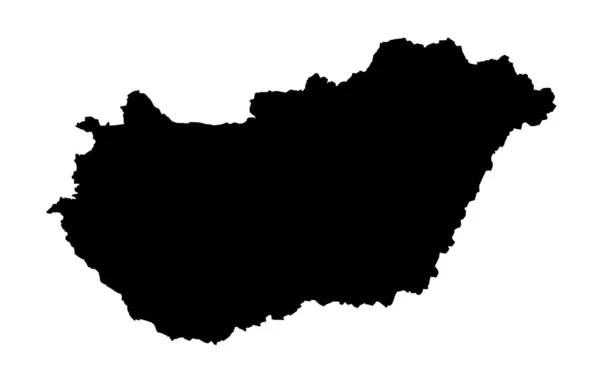
Republic of Hungary
Republic of Hungary — Stock Photo, Image
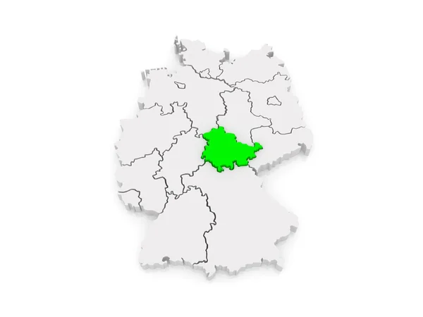
Map of Thuringia. Germany.
Map of Thuringia. Germany. — Stock Photo, Image
Map of Belgium
Map of Belgium — Stock Photo, Image
Kharkiv red highlighted in map of the Ukraine
Kharkiv red highlighted in map of the Ukraine — Stock Photo, Image
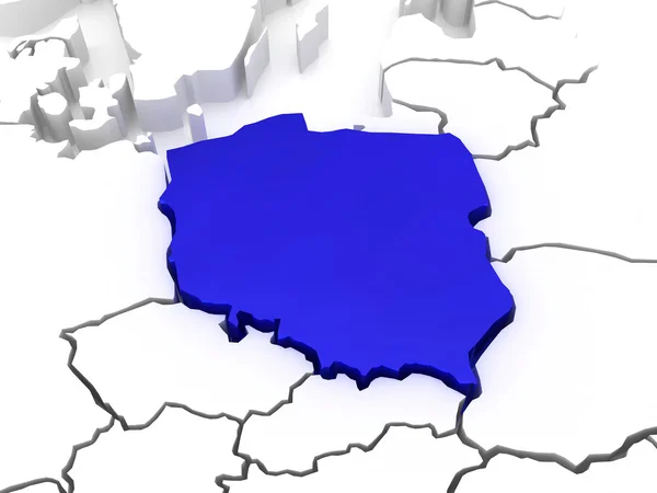
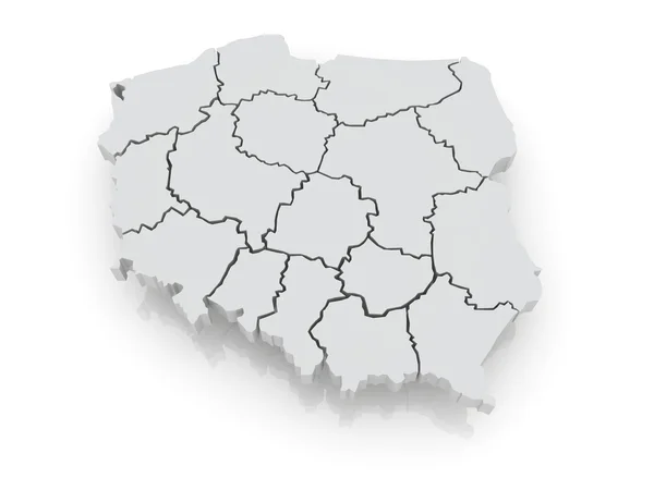
Three-dimensional map of Poland.
Three-dimensional map of Poland. — Stock Photo, Image
Map of Slovakia
Map of Slovakia — Stock Photo, Image
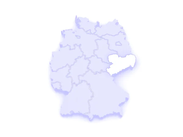
Map of Saxony. Germany.
Map of Saxony. Germany. — Stock Photo, Image
Estonian map illustrated on a white background
Estonian map illustrated on a white background — Stock Photo, Image
Belgium map, administrative division, white blue card paper 3D blank
Belgium Map Administrative Division White Blue Card Paper Blank — Stock Photo, Image
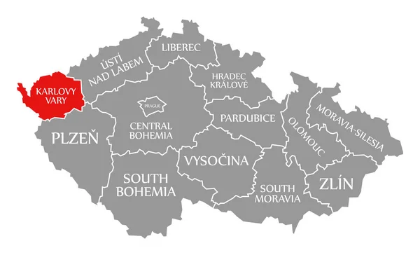
Karlovy Vary red highlighted in map of Czech Republic
Karlovy Vary red highlighted in map of Czech Republic — Stock Photo, Image
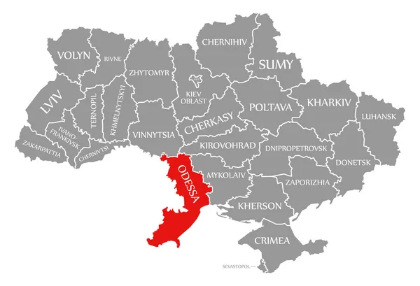
Odessa red highlighted in map of the Ukraine
Odessa red highlighted in map of the Ukraine — Stock Photo, Image
Carinthia on map of austria
Carinthia on map of austria — Stock Photo, Image
Map of Europe and Poland.
Map of Europe and Poland. — Stock Photo, Image
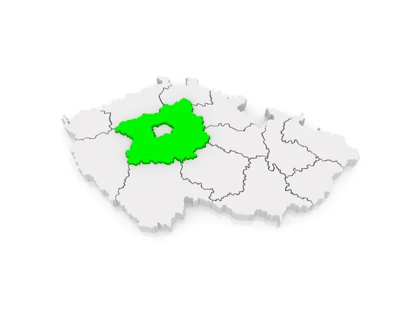
Map of Central Bohemian Region. Czech Republic.
Map of Central Bohemian Region. Czech Republic. — Stock Photo, Image
Map of Poland
Map of Poland — Stock Photo, Image
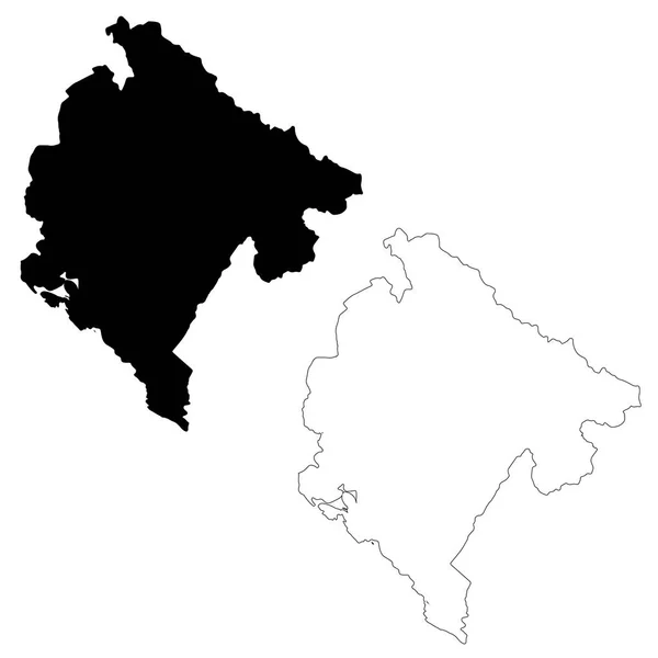
Map Montenegro. Isolated Illustration. Black on White background.
Map Montenegro Isolated Illustration Black White Background — Stock Photo, Image
Map of Cote d'Ivoire.
Map of Cote d'Ivoire. — Stock Photo, Image
Map of Central Bohemian Region. Czech Republic.
Map of Central Bohemian Region. Czech Republic. — Stock Photo, Image
Liberec red highlighted in map of Czech Republic
Liberec red highlighted in map of Czech Republic — Stock Photo, Image
Emblem of liberec region on map with administrative divisions and borders of Czech Republic
Emblem Liberec Region Map Administrative Divisions Borders Czech Republic — Stock Photo, Image
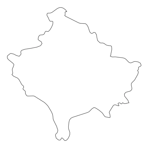
High detailed Outline of the country of Kosovo
High detailed Outline of the country of  Kosovo — Stock Photo, Image
Belarus road sign
Belarus road sign — Stock Photo, Image
Belarus road sign
Belarus road sign — Stock Photo, Image
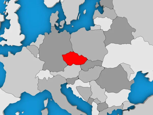
Czech republic in red on globe
Czech republic in red on globe — Stock Photo, Image
Isolated map of Basel Landschaft - Switzerland
Isolated map of Basel Landschaft - Switzerland — Stock Photo, Image
Germany map and federal states map vector blue
Germany Map Federal States Map Vector Blue — Stock Photo, Image
Map of Estonia highligted with red in Europe map. 3d rendering
Map Estonia Highligted Red Europe Map Rendering — Stock Photo, Image
Poland on globe
Poland on globe — Stock Photo, Image
Icon Illustration with Four Color Variations
Icon Illustration with Four Color Variations — Stock Photo, Image
Map of Mongolia
Map of Mongolia — Stock Photo, Image
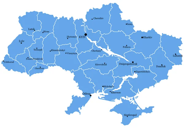
Map of Ukraine with cities
Map of Ukraine with cities — Stock Photo, Image
Map of Champagne-Ardenne
Map of Champagne-Ardenne — Stock Photo, Image
Map Central African Republic. Isolated Illustration. Black on White background.
Map Central African Republic Isolated Illustration Black White Background — Stock Photo, Image
Map of Austria, 3D rendering
Map of Austria, 3D rendering — Stock Photo, Image
Central Bohemia red highlighted in map of Czech Republic
Central Bohemia red highlighted in map of Czech Republic — Stock Photo, Image
Map of Europe and Estonia.
Map of Europe and Estonia. — Stock Photo, Image
Shape of Bahia, state of Brazil, with its capital isolated on white background. Composition of patterned textures. 3D rendering
Shape Bahia State Brazil Its Capital Isolated White Background Composition — Stock Photo, Image
Emblem of plzen region on map with administrative divisions and borders of Czech Republic
Emblem Plzen Region Map Administrative Divisions Borders Czech Republic — Stock Photo, Image
Polygonal Carcass Mesh High Resolution Raster Map of Valencia Province Abstractions
Polygonal Carcass Mesh High Resolution Raster Map of Valencia Province Abstractions — Stock Photo, Image
Emblem of Usti nad labem region on map with administrative divisions and borders of Czech Republic
Emblem Usti Nad Labem Region Map Administrative Divisions Borders Czech — Stock Photo, Image
Map of Brandenburg. Germany.
Map of Brandenburg. Germany. — Stock Photo, Image

Find Stunning Czech Republic Map Images for Your Projects

When it comes to visualizing the Czech Republic, nothing beats the power of high-quality map images. Whether you're working on a travel brochure, website, or educational materials, using the right images can truly bring your project to life. At Stock Images, we offer a diverse range of beautiful Czech Republic map images in various file formats, including JPG, AI, and EPS. In this search page overview, we will explore the different types of images available, their potential applications, and provide you with practical advice on how to make the most of them.

Diverse Stock Image Collection

Our stock image collection showcases the mesmerizing landscapes and cities of the Czech Republic. From the vibrant streets of Prague to the picturesque countryside, you'll find a wide variety of maps capturing the essence of this magnificent country. Whether you're looking for an overview map showcasing major cities and regions or a detailed map highlighting specific attractions, our collection has got you covered. Our images are sourced from professional photographers and designers, ensuring the highest quality and accuracy.

Applications and Usage

The Czech Republic map images can be utilized in numerous projects, catering to different industries and purposes. If you're a travel agency or tour operator, these visuals can be used in your brochures, websites, or advertisements to entice tourists and showcase the diverse attractions scattered across the country. Likewise, if you're an educator or researcher, incorporating these images in your presentations, textbooks, or articles can enhance the learning experience and provide valuable geographical context.

Architects and urban planners can also benefit from these maps by including them in their designs and presentations. Whether you're working on a construction project or developing an urban development plan, having an accurate and aesthetically pleasing map can assist in effective communication with clients and stakeholders. Furthermore, these images can be used by graphic designers to create visually appealing posters, flyers, or social media graphics promoting various events or businesses within the Czech Republic.

Tips for Effective Image Usage

While using Czech Republic map images can greatly enhance your projects, it's important to consider a few key factors to ensure their maximum impact:

1. Choose the Right Map: Depending on your specific requirements, choose a map that suits your project. If you need an overview map, opt for one that showcases major cities and regions. If you need a detailed map, select one that highlights specific attractions or points of interest.

2. Consider the File Format: Our Czech Republic map images are available in JPG, AI, and EPS formats. Consider the compatibility of these formats with your design software or preferred application to ensure smooth integration.

3. Customize and Incorporate: Don't hesitate to customize the map to align with your project's visual style. Add labels, markers, or annotations to highlight specific areas or elements of interest.

4. Maintain Image Quality: When resizing or scaling the map images, ensure that they retain their sharpness and clarity. Avoid stretching or distorting the images, as it may compromise their visual appeal and accuracy.

5. Stay Updated: The Czech Republic undergoes infrastructural changes, and new attractions emerge over time. It's essential to stay updated and periodically refresh your visuals to reflect these changes accurately.

By following these tips, you can make the most of our Czech Republic map images and create visually stunning projects that captivate your audience.

Unlock the potential of your projects with our mesmerizing Czech Republic map images. Browse our diverse collection today and make a lasting impression with your visuals!