Belgium map Stock Vector Images

100,000 Belgium map vector art & graphics are available under a royalty-free license

  • Best Match
  • Fresh
  • Popular
1-100 of 100,000
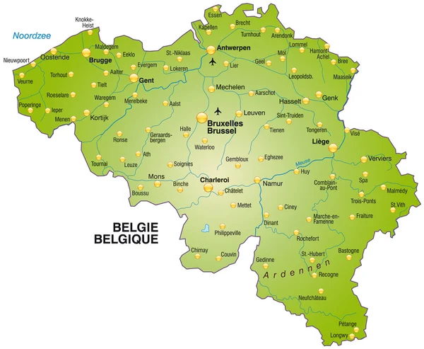
Map of Belgium
Map of Belgium — Stock Vector
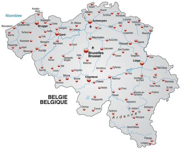
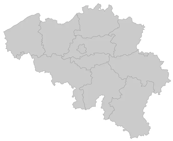
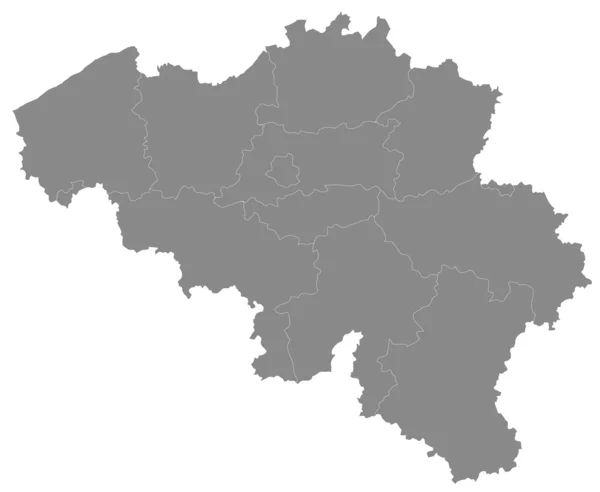
Grey map of Belgium
Grey map of Belgium — Stock Vector
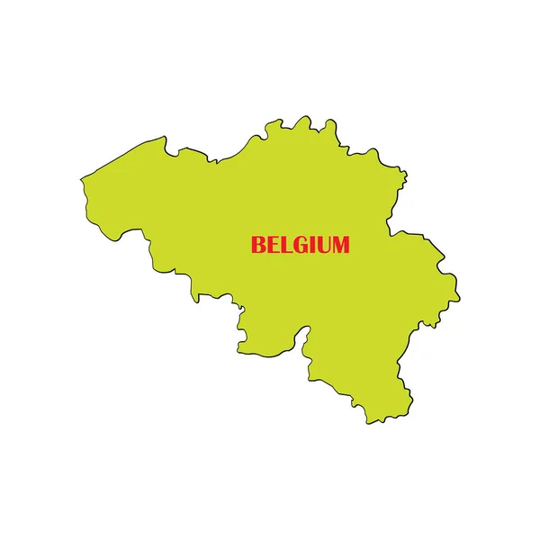
Belgium map
Belgium map — Stock Vector
Map of Belgium
Map of Belgium — Stock Vector
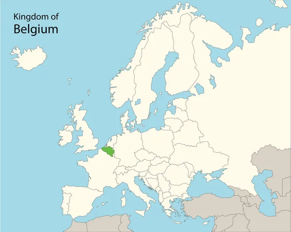
Kingdom of Belgium
Kingdom of Belgium — Stock Vector
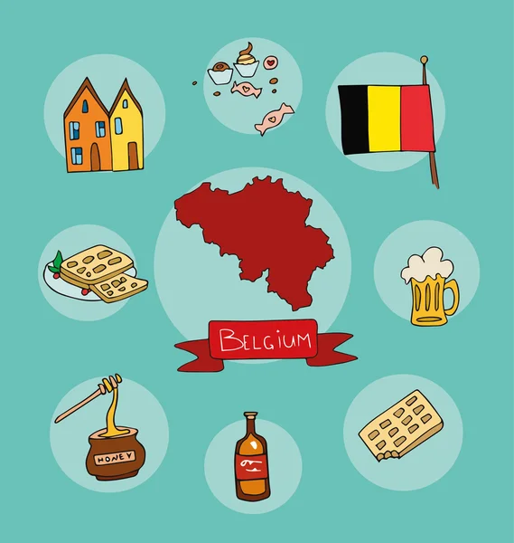
The set of national profile of the belgium cartoon state of the world isolated
The set of national profile of the belgium cartoon state of the world isolated — Stock Vector
Belgium map
Belgium map — Stock Vector
Belgium on Europe map
Belgium on Europe map — Stock Vector
White abstract outline of Belgium map
White abstract outline of Belgium map — Stock Vector
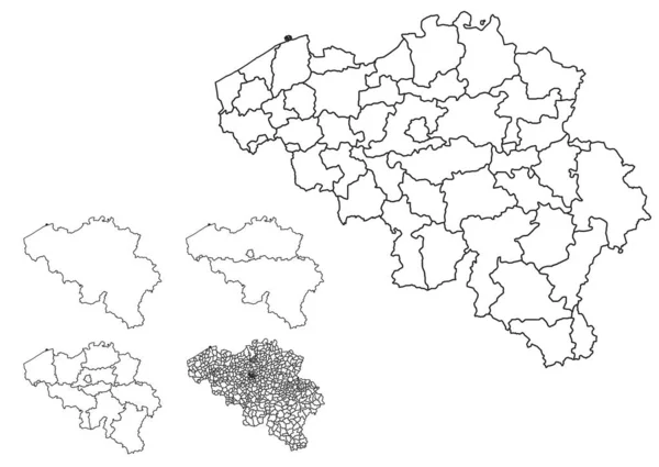
Belgium outline map vector with administrative borders, regions, municipalities, departments in black white colors
Belgium Outline Map Vector Administrative Borders Regions Municipalities Departments Black — Stock Vector
Blank map Belgium. High quality map Belgium with provinces on transparent background for your web site design, logo, app, UI. Stock vector. Vector illustration EPS10.
Blank Map Belgium High Quality Map Belgium Provinces Transparent Background — Stock Vector
Map of Belgium
Map of Belgium — Stock Vector
Map of Belgium
Map of Belgium — Stock Vector
Map of Belgium
Map of Belgium — Stock Vector
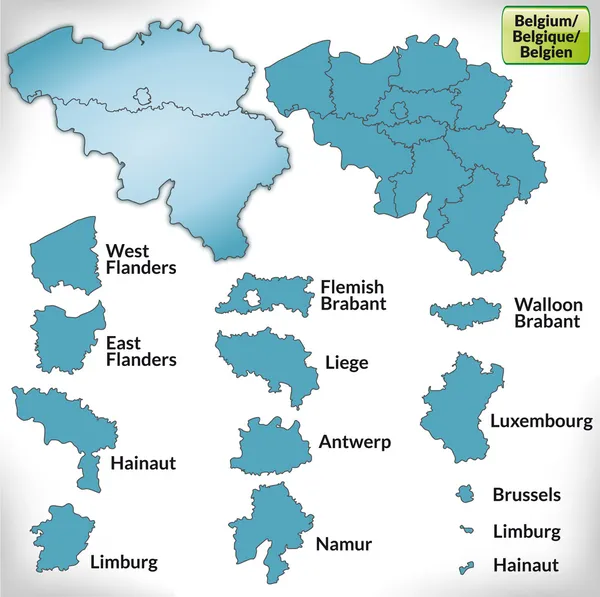
Map of Belgium with borders in blue
Map of Belgium with borders in blue — Stock Vector
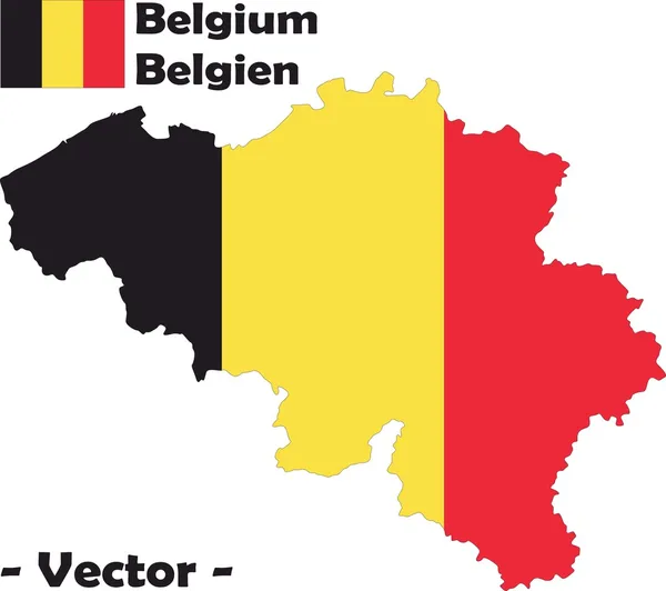
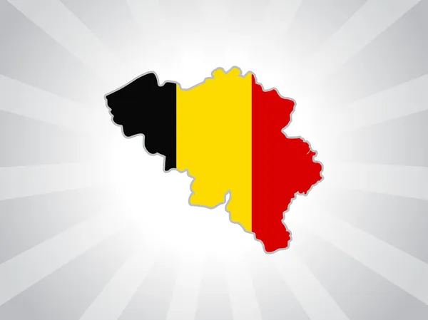
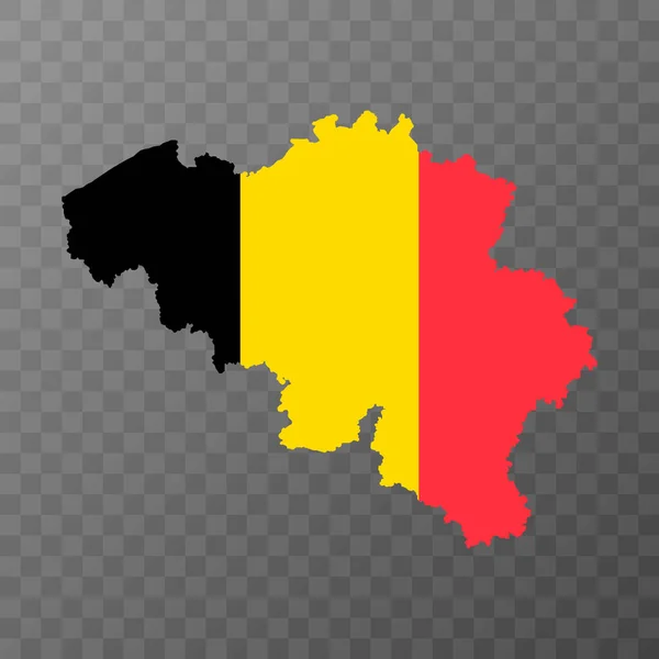
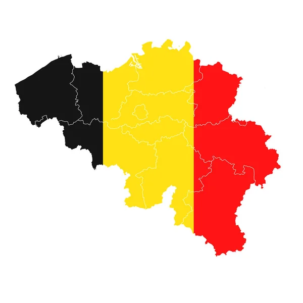
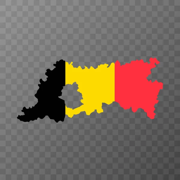
Map of Belgium with their flag
Map of Belgium with their flag — Stock Vector
Map of Belgium
Map of Belgium — Stock Vector
Map of Belgium
Map of Belgium — Stock Vector
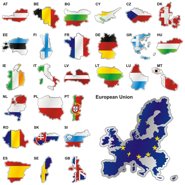
Flags of EU in map shapes
Flags of EU in map shapes — Stock Vector
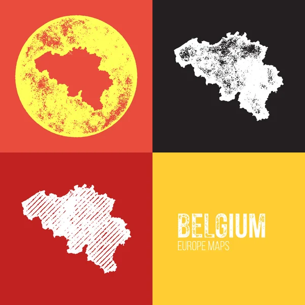
Belgium Grunge Retro Map
Belgium Grunge Retro Map — Stock Vector
Map of Belgium
Map of Belgium — Stock Vector
3 dimensional infographics political map of Belgium, with every province easy selectable and editable in one click. Content labeled in Layers panel.
3 dimensional infographics political map of Belgium, with every province easy selectable and editable in one click. Content labeled in Layers panel. — Stock Vector
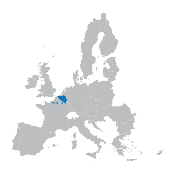
European Union Map with indication of Belgium
European Union Map with indication of Belgium — Stock Vector
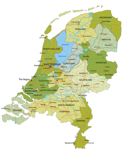
Netherlands - political map
Netherlands -  political map — Stock Vector
Map of Europe
Map of Europe — Stock Vector
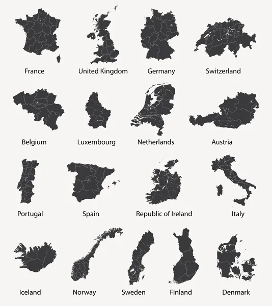
Vector set of european maps with region borders
Vector set of european maps with region borders — Stock Vector
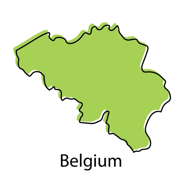
Belgium map - simple hand drawn stylized concept with sketch black line outline contour. country border silhouette drawing vector illustration.
Belgium Map Simple Hand Drawn Stylized Concept Sketch Black Line — Stock Vector
High quality map of Belgium . Vector illustration
High Quality Map Belgium Vector Illustration — Stock Vector
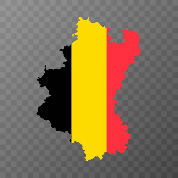
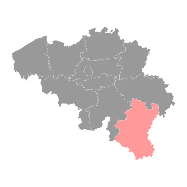
Luxembourg province map, Belgium provinces. Vector illustration.
Luxembourg Province Map Belgium Provinces Vector Illustration — Stock Vector
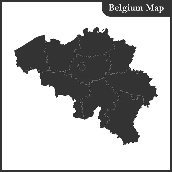
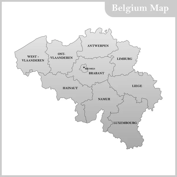
The detailed map of the Belgium with regions
The detailed map of the Belgium with regions — Stock Vector
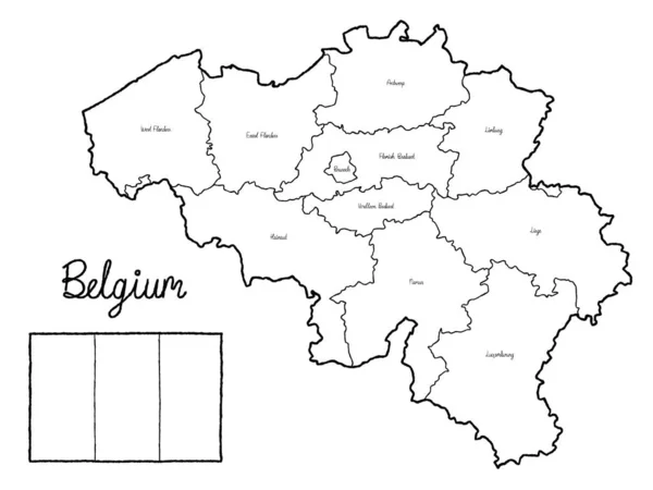
Belgium Country Map Flag Vector Illustration Hand Drawn Cartoon Art
Belgium Country Map Flag Vector Illustration Hand Drawn Cartoon Art — Stock Vector
The detailed map of the Belgium with regions or states and capital
The detailed map of the Belgium with regions or states and capital — Stock Vector
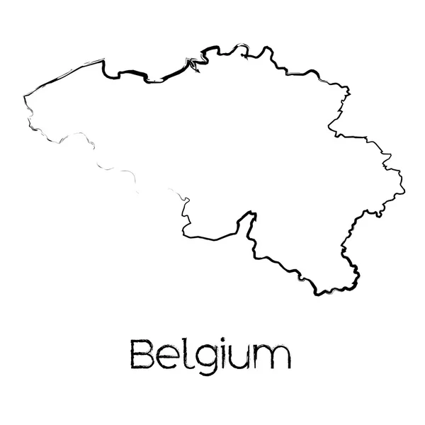
Scribbled Shape of the Country of Belgium
Scribbled Shape of the Country of Belgium — Stock Vector
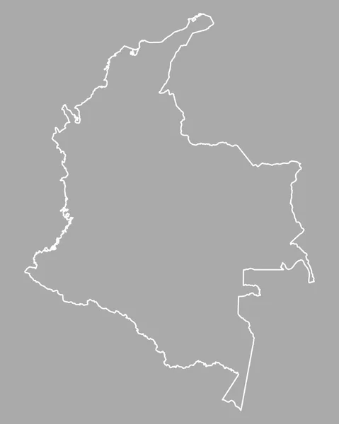
Accurate map of Colombia
Accurate map of Colombia — Stock Vector
Belgium
Belgium — Stock Vector
Black and white abstract map of France
Black and white abstract map of France — Stock Vector
Map of Belgium
Map of Belgium — Stock Vector
Vector illustration of maps of Belgium
Vector illustration of maps of Belgium — Stock Vector
Simple outline map of Overijssel is a province of Netherlands. Stylized minimal line design
Simple Outline Map Overijssel Province Netherlands Stylized Minimal Line Design — Stock Vector
Gegharkunik province map, administrative division of Armenia.
Gegharkunik Province Map Administrative Division Armenia — Stock Vector
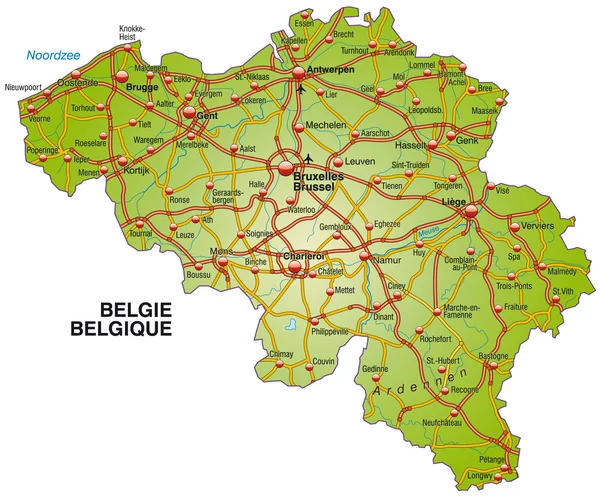
High detailed vector map of Belgium with navigation pins.
High detailed vector map of Belgium with navigation pins. — Stock Vector
Belgium map with neighboring countries
Belgium Map Neighboring Countries — Stock Vector
Black Flat Map of Kingdom of Poland (year 1097) inside Gray Map of European Continent
Black Flat Map Kingdom Poland Year 1097 Gray Map European — Stock Vector
Outline map of Czech Republic
Outline Map Czech Republic — Stock Vector
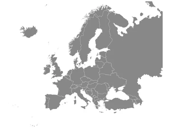
Flat Grey Map of Europe on White Background with National Country Borders
Flat Grey Map Europe White Background National Country Borders — Stock Vector
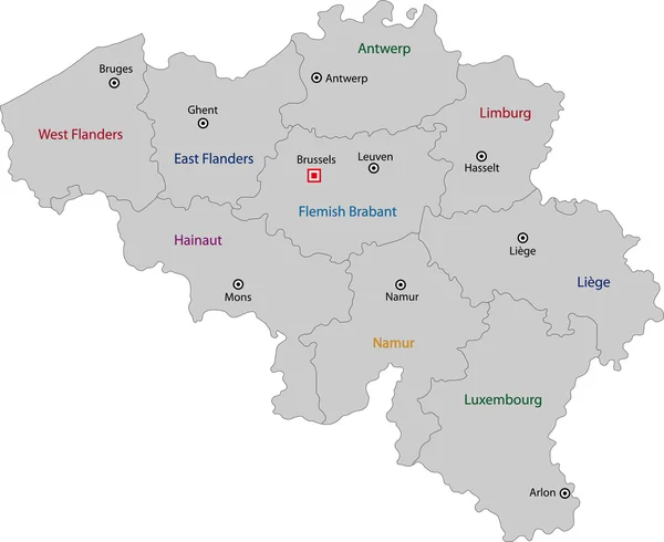
Belgium map with provinces. Vector illustration.
Belgium Map Provinces Vector Illustration — Stock Vector
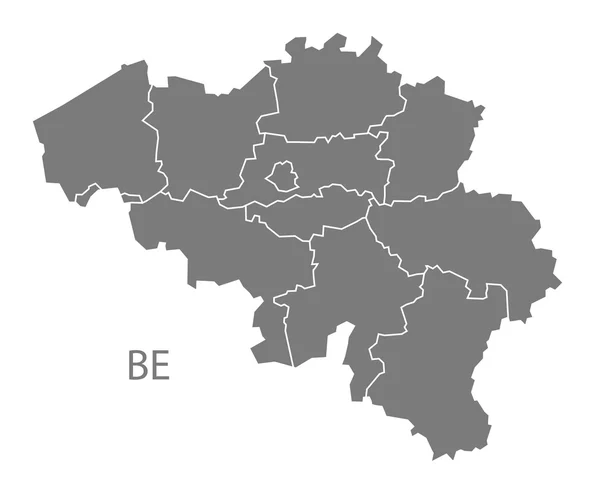
Belgium regions Map grey
Belgium regions Map grey — Stock Vector
Gold Vector Map of Ivory Coast
Gold Vector Map of Ivory Coast — Stock Vector
Vector illustration of administrative division map of Belgium.
Vector illustration of administrative division map of Belgium. — Stock Vector
The detailed map of the Belgium with regions or states and cities, capitals
The detailed map of the Belgium with regions or states and cities, capitals — Stock Vector
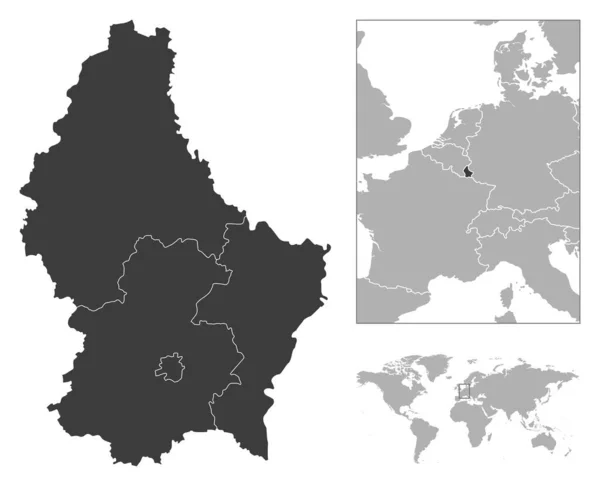
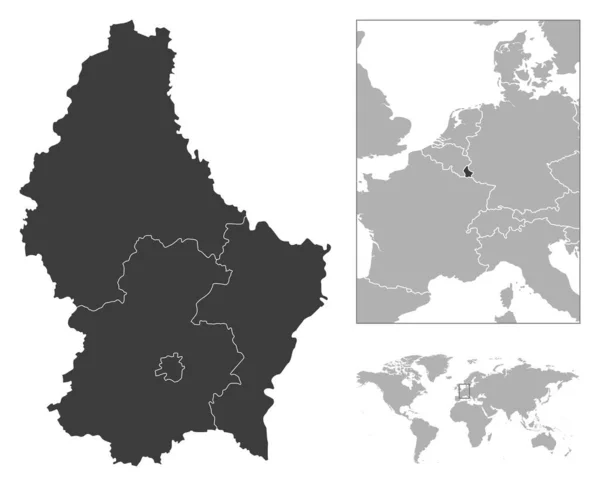
Luxembourg - detailed country outline and location on world map. Vector illustration
Luxembourg Detailed Country Outline Location World Map Vector Illustration — Stock Vector
The card can be used immediately and is optimized for printing and use in digital media. The color mode is RGB.
Card Can Used Immediately Optimized Printing Use Digital Media Color — Stock Vector
Belgium Map silhouette white icon
Belgium Map Silhouette White Icon — Stock Vector
Luxembourg province map, Belgium provinces. Vector illustration.
Luxembourg Province Map Belgium Provinces Vector Illustration — Stock Vector
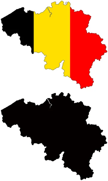
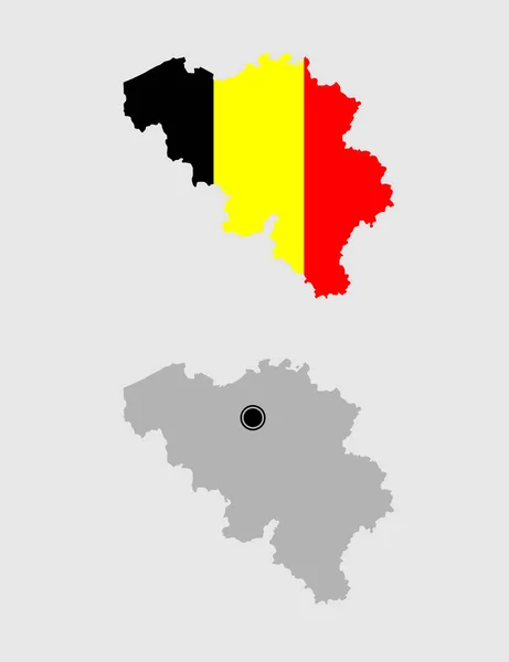
Contour of Belgium in grey and in flag colors
Contour Belgium Grey Flag Colors — Stock Vector
Tajikistan - solid black outline border map of country area. Simple flat vector illustration
Tajikistan - solid black outline border map of country area. Simple flat vector illustration — Stock Vector
Tavush province map, administrative division of Armenia.
Tavush Province Map Administrative Division Armenia — Stock Vector
Belgium map icon vector illustration symbol design
Belgium Map Icon Vector Illustration Symbol Design — Stock Vector
Black location map of Berliner Spandau borough (bezirk) inside gray map of Berlin, Germany
Black Location Map Berliner Spandau Borough Bezirk Gray Map Berlin — Stock Vector
Luxembourg - detailed country outline and location on world map. Vector illustration
Luxembourg Detailed Country Outline Location World Map Vector Illustration — Stock Vector
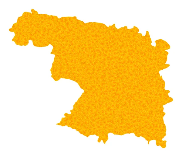
Gold Vector Map of Zamora Province
Gold Vector Map of Zamora Province — Stock Vector
Detailed Grey Flat Geographical Map of Baltic States (Estonia, Latvia, Lithuania)
Detailed Grey Flat Geographical Map Baltic States Estonia Latvia Lithuania — Stock Vector
Black flat blank highlighted location map of the MEIMERSDORF DISTRICT inside gray administrative map of Kiel, Germany
Black Flat Blank Highlighted Location Map Meimersdorf District Gray Administrative — Stock Vector
Accurate map of Colombia
Accurate map of Colombia — Stock Vector
White flat blank vector map of raion areas of the Ukrainian administrative area of RIVNE OBLAST, UKRAINE with black border lines of its raions
White Flat Blank Vector Map Raion Areas Ukrainian Administrative Area — Stock Vector
Gold Vector Map of Moscow Region
Gold Vector Map of Moscow Region — Stock Vector
Sumadija district map, administrative district of Serbia. Vector illustration.
Sumadija District Map Administrative District Serbia Vector Illustration — Stock Vector
Map of Upper Austria in Austria
Map of Upper Austria in Austria — Stock Vector
Belgium map icon vector isolated on white background, logo concept of Belgium map sign on transparent background, filled black symbol
Belgium Map Icon Vector Isolated White Background Logo Concept Belgium — Stock Vector
Simple vector gray administrative map of Berlin, Germany
Simple Vector Gray Administrative Map Berlin Germany — Stock Vector
Administrative counties of Romania. Vector map with labels
Administrative counties of Romania. Vector map with labels — Stock Vector
Illustrated map of France on white background
Illustrated map of France on white background — Stock Vector
Belgium National flag map icon
Belgium National Flag Map Icon — Stock Vector
Belgium map. The country in the form of borders with regions. Stock vector illustration
Belgium Map Country Form Borders Regions Stock Vector Illustration — Stock Vector
Rivne oblast map, province of Ukraine. Vector illustration.
Rivne Oblast Map Province Ukraine Vector Illustration — Stock Vector
Daykundi province map, administrative division of Afghanistan.
Daykundi Province Map Administrative Division Afghanistan — Stock Vector
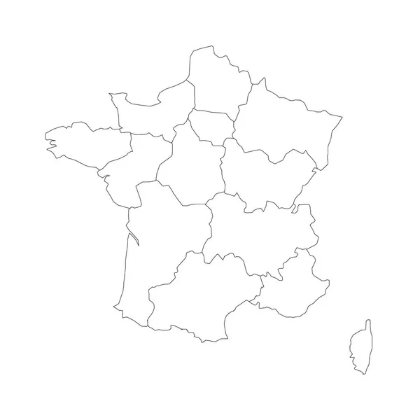
Outline map of France divided into 13 administrative metropolitan regions, since 2016. Four shades of green. Vector illustration
Outline map of France divided into 13 administrative metropolitan regions, since 2016. Four shades of green. Vector illustration — Stock Vector
Cheshire county administrative map isolated on white background, England
Cheshire County Administrative Map Isolated White Background England — Stock Vector
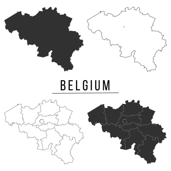
Brussels outline map set
Brussels outline map set — Stock Vector
High Quality map of Tambov Oblast is a region of Russia with borders of the districts
High Quality Map Tambov Oblast Region Russia Borders Districts — Stock Vector
High detailed vector map of Belarus with navigation pins.
High detailed vector map of Belarus with navigation pins. — Stock Vector
Dark gray flat vector administrative map of ZWOLLE, NETHERLANDS with name tags and white border lines of its districts
Dark Gray Flat Vector Administrative Map Zwolle Netherlands Name Tags — Stock Vector
High quality map with borders
High quality map with borders — Stock Vector
Gold Vector Map of Sevilla Province
Gold Vector Map of Sevilla Province — Stock Vector
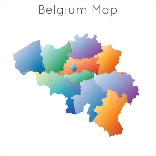
Low Poly map of Belgium. Belgium geometric polygonal, mosaic style map.
Low Poly Map Belgium Belgium Geometric Polygonal Mosaic Style Map — Stock Vector
Poland map color line element. Border of the country.
Poland Map Color Line Element Border Country — Stock Vector
Map of belgium, simple vector map of europe
Map Belgium Simple Vector Map Europe — Stock Vector
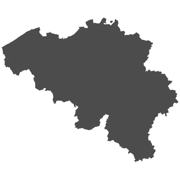
High detailed isolated map - Belgium
High Detailed Isolated Map Belgium — Stock Vector
Babylon Governorate map, administrative division of Iraq. Vector illustration.
Babylon Governorate Map Administrative Division Iraq Vector Illustration — Stock Vector
Gold Vector Map of Roraima State
Gold Vector Map of Roraima State — Stock Vector
Golden Vector Map of Henan Province
Golden Vector Map of Henan Province — Stock Vector
High level detailed map Belgium. Very accurate map layout satellite. Traced all the islands
High level detailed map Belgium. Very accurate map layout satellite. Traced all the islands — Stock Vector
Hauts-de-France dark silhouette map isolated on white background, France
Hauts France Dark Silhouette Map Isolated White Background France — Stock Vector
White flat blank vector map of raion areas of the Ukrainian administrative area of TERNOPIL OBLAST, UKRAINE with black border lines of its raions
White Flat Blank Vector Map Raion Areas Ukrainian Administrative Area — Stock Vector
Flemish Brabant Province map, Provinces of Belgium. Vector illustration.
Flemish Brabant Province Map Provinces Belgium Vector Illustration — Stock Vector
Map of Minas Gerais
Map of Minas Gerais — Stock Vector
Belgium infographic vector illustration
Belgium Infographic Vector Illustration — Stock Vector
Golden Vector Map of Democratic Republic of the Congo
Golden Vector Map of Democratic Republic of the Congo — Stock Vector
Highly detailed Democratic Republic of the Congo map with borders isolated on background
Highly Detailed Democratic Republic Congo Map Borders Isolated Background — Stock Vector

Find the Best Belgium Map Vector Images for Your Project

If you're working on a project that requires a map of Belgium, you've come to the right place. Our collection of Belgium map vector images includes high-quality illustrations that you can use for a wide range of purposes, from educational materials to marketing and advertising campaigns.

Types of Belgium Map Vector Images Available

Our collection of Belgium map vector images includes a variety of types to suit your needs. You can choose from maps that show the country's administrative divisions, major cities, road networks, and more. We offer images in different file formats, such as JPG, AI, and EPS, which can be used for digital and print applications.

Some of the new keywords that are related to the main keyword, "Belgium map vector," are "vector graphics," "cartographic illustration," and "geographical visualization." These can help you refine your search and find the best images for your particular project.
Uses of Belgium Map Vector Images
Belgium map vector images can be used for a wide range of applications. Education and research are some of the most common uses of these images. They can be used to create learning materials, such as textbooks, maps, and atlases, or for scientific research, such as analyzing geographical data or studying population distribution.
Marketing and advertising agencies can also use Belgium map vector images to enhance their campaigns. These images can be used to show the location of a business, highlight the features of a product, or provide information about tourist attractions, among other things.

How to Choose the Right Belgium Map Vector Image

Choosing the right Belgium map vector image for your project depends on what you want to illustrate and how you want to use the image. One important consideration is the file format. EPS files are ideal for large-scale printing, while AI files are best for editing and customization, and JPG files are suitable for digital use.

You should also consider the level of detail and the type of map you need. If you want to show administrative divisions, you'll need a map that includes detailed information on regions, provinces, and cities. A road map may require different features, such as highways, toll roads, or scenic routes.

Conclusion

Belgium map vector images are versatile and useful for a wide range of projects. Whether you're creating educational materials, conducting research, or working on a marketing campaign, you can find the right illustration in our collection of high-quality Belgium map vector images. Remember to consider your needs, such as file formats, level of detail, and type of map, to choose the perfect image for your project.

Some of the additional keywords that are relevant to the main keyword, "Belgium map vector," are "geography," "cartography," "map design," "navigation," and "location-based services." Keep these in mind when searching for the best images for your project.