Kazakhstan map Stock Vector Images

100,000 Kazakhstan map vector art & graphics are available under a royalty-free license

  • Best Match
  • Fresh
  • Popular
1-100 of 100,000
Kazakhstan
Kazakhstan — Stock Vector
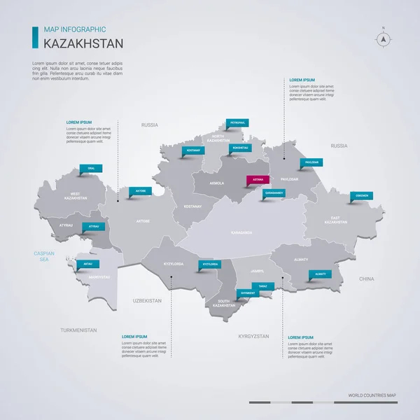
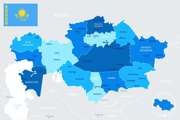
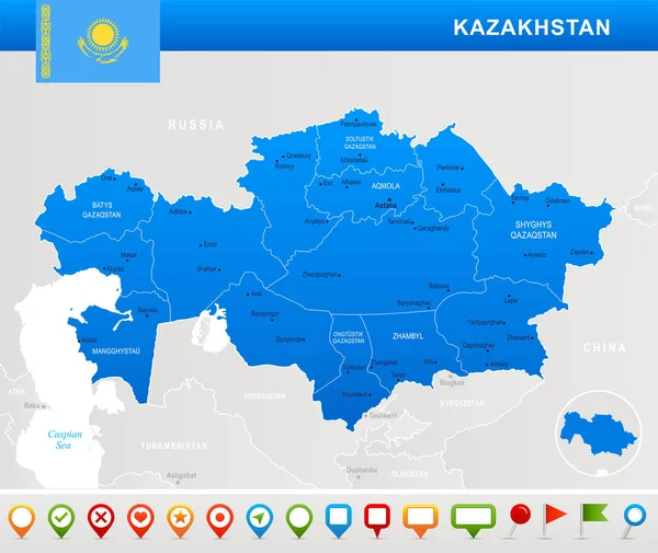
Kazakhstan vector map with infographic elements, pointer marks. Editable template with regions, cities and capital Astana.
Kazakhstan Vector Map Infographic Elements Pointer Marks Editable Template Regions — Stock Vector
Map Kazakhstan
Map Kazakhstan — Stock Vector
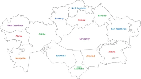
Outline of Kazakhstan map
Outline of Kazakhstan map — Stock Vector
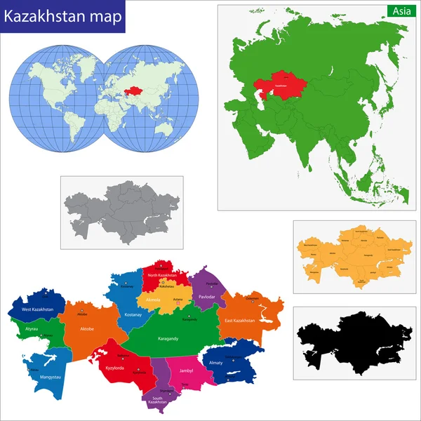
Kazakhstan map
Kazakhstan map — Stock Vector
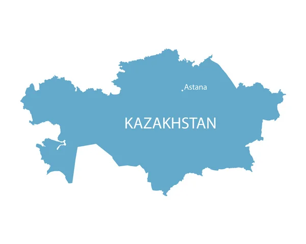
Blue map of Kazakhstan with indication of Astana
Blue map of Kazakhstan with indication of Astana — Stock Vector
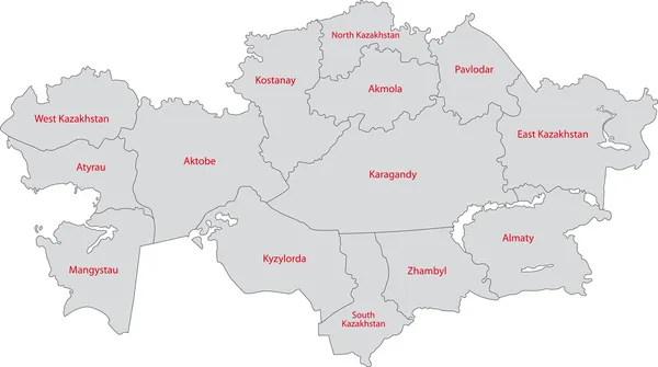
Grey map of Kazakhstan
Grey map of Kazakhstan — Stock Vector
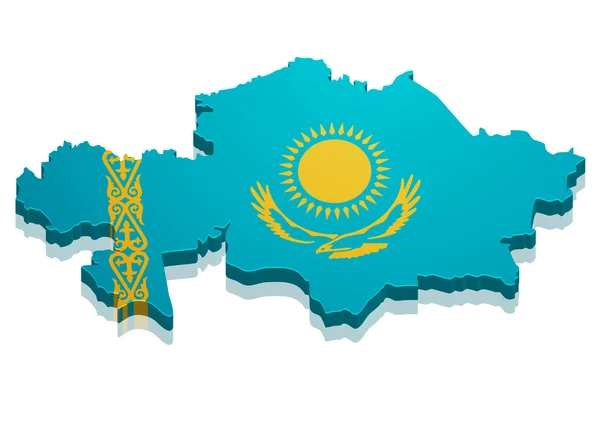
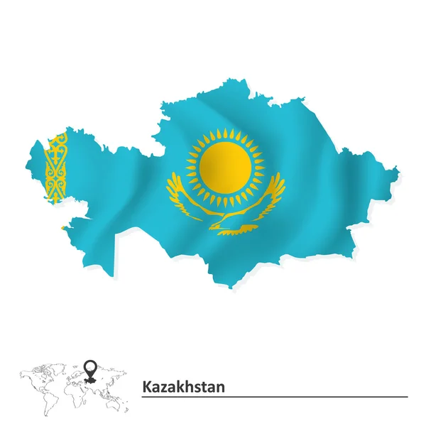
Map of Kazakhstan with flag
Map of Kazakhstan with flag — Stock Vector
Kazakhstan map card paper 3D natural vector
Kazakhstan map card paper 3D natural vector — Stock Vector
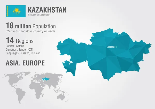
Kazakhstan world map with a pixel diamond texture.
Kazakhstan world map with a pixel diamond texture. — Stock Vector
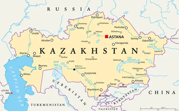
Kazakhstan Political Map
Kazakhstan Political Map — Stock Vector
Kazakhstan map
Kazakhstan map — Stock Vector
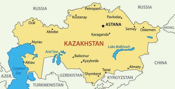
Republic of Kazakhstan - vector map
Republic of Kazakhstan - vector map — Stock Vector
Kazakhstan outline map set
Kazakhstan outline map set — Stock Vector
Kazakhstan map
Kazakhstan map — Stock Vector
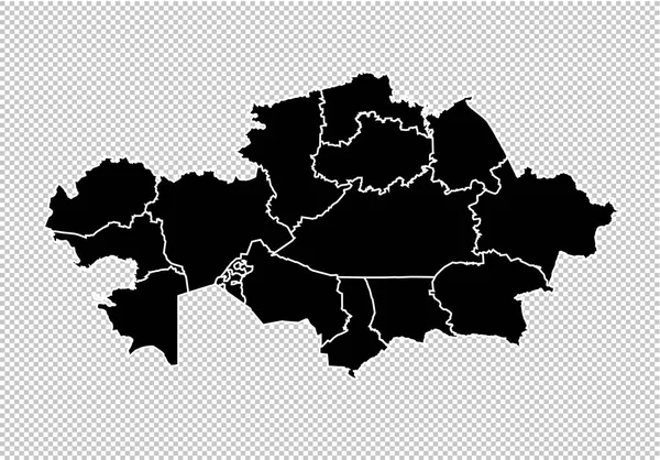
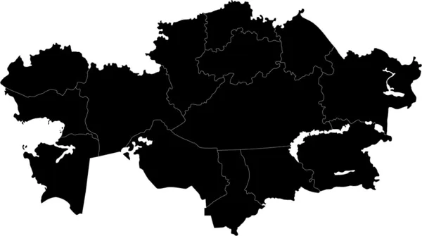
Kazakhstan map - High detailed Black map with counties/regions/s
Kazakhstan map - High detailed Black map with counties/regions/s — Stock Vector
Vector set of Kazakhstan country.
Vector set of Kazakhstan country. — Stock Vector
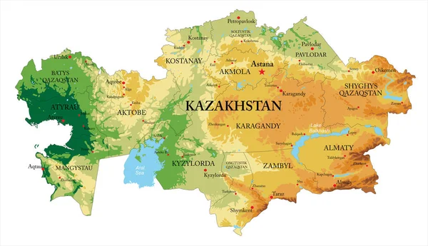
Kazakhstan highly detailed physical map,in vector format,with all the relief forms and big cities
Kazakhstan Highly Detailed Physical Map Vector Format All Relief Forms — Stock Vector
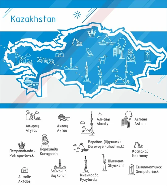
Kazakhstan Map - Info Graphic Vector Illustration
Kazakhstan Map - Info Graphic Vector Illustration — Stock Vector
Kazakhstan
Kazakhstan — Stock Vector
Kazakhstan country map polygonal with spot lights places
Kazakhstan country map polygonal with spot lights places — Stock Vector
Map of Kazakhstan
Map of Kazakhstan — Stock Vector
Vector Kazakhstan map
Vector Kazakhstan map — Stock Vector
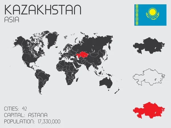
Set of Infographic Elements for the Country of Kazakhstan
Set of Infographic Elements for the Country of Kazakhstan — Stock Vector
Abstract mash line and point scales on dark background with map of kazakhstan. Abstract network vector concept of kazakhstan. Internet and connection map background. Triangle, dot ,line Vector.
Abstract Mash Line Point Scales Dark Background Map Kazakhstan Abstract — Stock Vector
Vector polygonal Kazakhstan map. Vibrant geometric country in low poly style. Amazing illustration for your infographics. Technology, internet, network concept.
Vector Polygonal Kazakhstan Map Vibrant Geometric Country Low Poly Style — Stock Vector
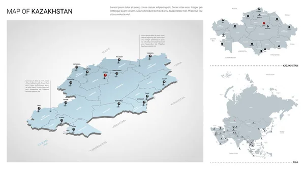
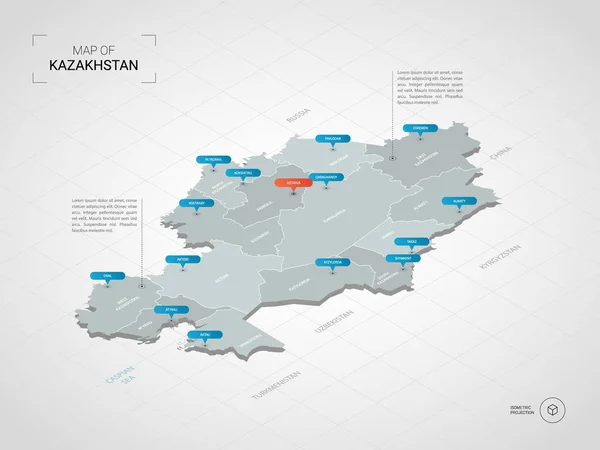
Isometric 3D Kazakhstan map. Stylized vector map illustration with cities, borders, capital, administrative divisions and pointer marks; gradient background with grid.
Isometric Kazakhstan Map Stylized Vector Map Illustration Cities Borders Capital — Stock Vector
Kazakhstan map with nodes linked by lines. concept of global com
Kazakhstan map with nodes linked by lines. concept of global com — Stock Vector
Kazakhstan map in gray on a black background 3d
Kazakhstan map in gray on a black background 3d — Stock Vector
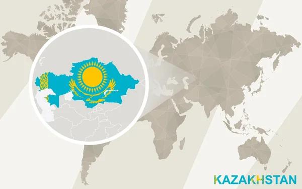
Zoom on Kazakhstan Map and Flag. World Map.
Zoom on Kazakhstan Map and Flag. World Map. — Stock Vector
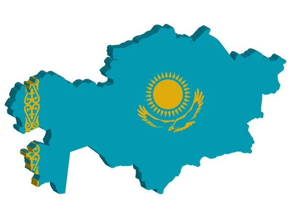
3D Map Kazakhstan Flag Vector illustration Eps 10
3D Map Kazakhstan Flag Vector illustration Eps 10 — Stock Vector
Modern of kazakhstan Map connections network design, Best Internet Concept of kazakhstan map business from concepts series, map point and line composition. Infographic map. Vector Illustration.
Modern Kazakhstan Map Connections Network Design Best Internet Concept Kazakhstan — Stock Vector
Kazakhstan - solid black outline border map of country area. Simple flat vector illustration
Kazakhstan - solid black outline border map of country area. Simple flat vector illustration — Stock Vector
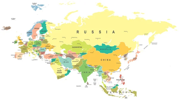
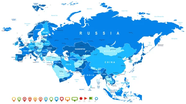
Eurasia - map - illustration.
Eurasia - map - illustration. — Stock Vector
Eurasia - map and navigation icons - illustration.
Eurasia - map and navigation icons - illustration. — Stock Vector
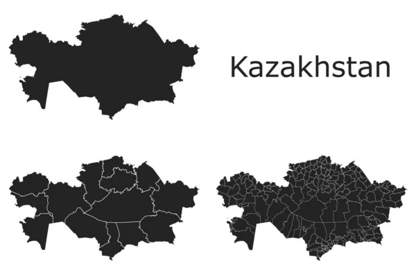
Kazakhstan vector maps with administrative regions, municipalities, departments, borders
Kazakhstan Vector Maps Administrative Regions Municipalities Departments Borders — Stock Vector
Kazakhstan
Kazakhstan — Stock Vector
Abstract of kazakhstan map network, internet and global connecti
Abstract of kazakhstan map network, internet and global connecti — Stock Vector
Kazakhstan - solid black silhouette map of country area. Simple flat vector illustration
Kazakhstan - solid black silhouette map of country area. Simple flat vector illustration — Stock Vector
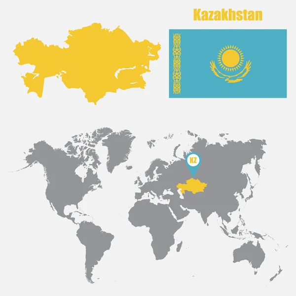
Kazakhstan map on a world map with flag and map pointer. Vector illustration
Kazakhstan map on a world map with flag and map pointer. Vector illustration — Stock Vector
Balck Kazakhstan map
Balck Kazakhstan map — Stock Vector
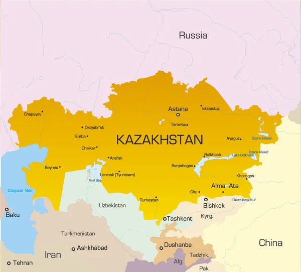
Vector Kazakhstan map with symbols of the major cities.
Vector Kazakhstan map with symbols of the major cities. — Stock Vector
Kazakhstan
Kazakhstan — Stock Vector
Kazakhstan map glowing silhouette outline made of stars lines dots triangles, low polygonal shapes.
Kazakhstan map glowing silhouette outline made of stars lines dots triangles, low polygonal shapes. — Stock Vector
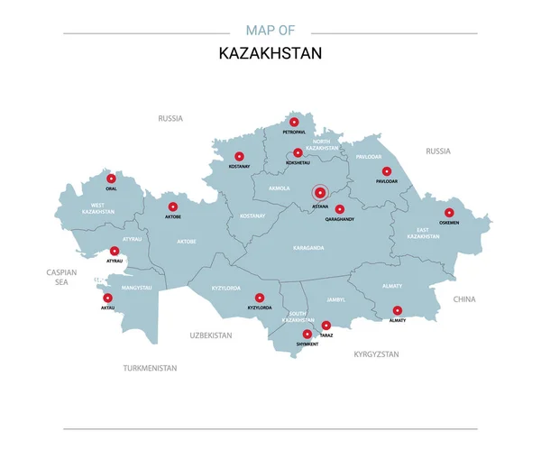
Kazakhstan vector map. Editable template with regions, cities, red pins and blue surface on white background.
Kazakhstan Vector Map Editable Template Regions Cities Red Pins Blue — Stock Vector
Kazakhstan map Poster with map of the country in retro color palette Shape of Kazakhstan with
Kazakhstan map Poster with map of the country in retro color palette Shape of Kazakhstan with — Stock Vector
Low Poly Map of Kazakhstan
Low Poly Map of Kazakhstan — Stock Vector
Low poly Map of Kazakhstan
Low poly Map of Kazakhstan — Stock Vector
Kyrgyzstan Political Map
Kyrgyzstan Political Map — Stock Vector
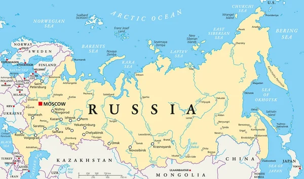
Russia Political Map
Russia Political Map — Stock Vector
Kazakhstan - map, flag and navigation icons - Detailed Vector Illustration
Kazakhstan - map, flag and navigation icons - Detailed Vector Illustration — Stock Vector
Kazakhstan vector set.
Kazakhstan vector set. — Stock Vector
Contour Kazakhstan map
Contour Kazakhstan map — Stock Vector
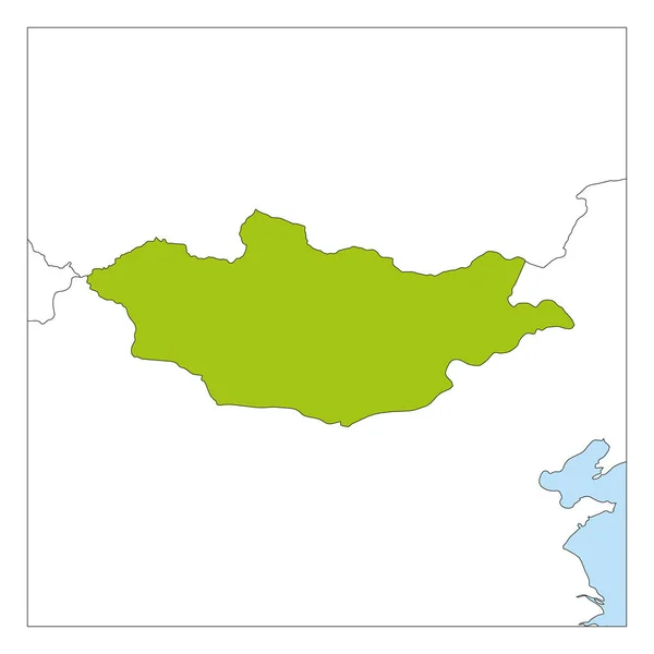
Mongolia map country icon
Mongolia map country icon — Stock Vector
Black flat blank highlighted location map of the VERSBACH DISTRICT inside gray administrative map of Wrzburg, Germany
Black Flat Blank Highlighted Location Map Versbach District Gray Administrative — Stock Vector
Barreiras municipality (Bahia state, Municipalities of Brazil, Federative Republic of Brazil) map vector illustration, scribble sketch Barreiras map
Barreiras Municipality Bahia State Municipalities Brazil Federative Republic Brazil Map — Stock Vector
Russia map icon, outline style
Russia map icon, outline style — Stock Vector
Map of Mongolia green highlighted with neighbor countries
Map of Mongolia green highlighted with neighbor countries — Stock Vector
Kazakhstan Location Map on map Asia. 3d Kazakhstan flag map marker location pin. High quality map Republic of Kazakhstan. Central Asia. Vector illustration EPS10.
Kazakhstan Location Map on map Asia. 3d Kazakhstan flag map marker location pin. High quality map Republic of Kazakhstan.  Central  Asia. Vector illustration EPS10. — Stock Vector
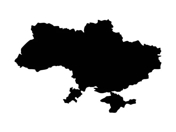
Ukraine map. Ukrainian territory black silhouette. Vector illustration isolated on white.
Ukraine Map Ukrainian Territory Black Silhouette Vector Illustration Isolated White — Stock Vector
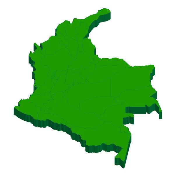
Columbia Map country
Columbia Map country — Stock Vector
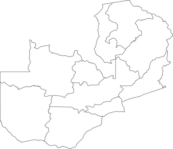
White blank vector map of the Republic of Zambia with black borders of its provinces
White Blank Vector Map Republic Zambia Black Borders Its Provinces — Stock Vector
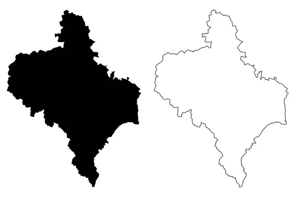
Ivano-Frankivsk Oblast map vecto
Ivano-Frankivsk Oblast map vecto — Stock Vector
Ropazu pagasts map, administrative division of Latvia. Vector illustration.
Ropazu Pagasts Map Administrative Division Latvia Vector Illustration — Stock Vector
Black flat blank highlighted location map of the LENGFELD DISTRICT inside gray administrative map of Wrzburg, Germany
Black Flat Blank Highlighted Location Map Lengfeld District Gray Administrative — Stock Vector
Black flat blank highlighted location map of the KOLOMYIA RAION inside gray raions map of the Ukrainian administrative area of Ivano-Frankivsk Oblast, Ukraine
Black Flat Blank Highlighted Location Map Kolomyia Raion Gray Raions — Stock Vector
Hyderabad City (Republic of India, Telangana State) map vector illustration, scribble sketch City of Hyderabad map
Hyderabad City Republic India Telangana State Map Vector Illustration Scribble — Stock Vector
Elba (island in Italy, Tuscan Archipelago) map vector illustration, scribble sketch Elba map
Elba Island Italy Tuscan Archipelago Map Vector Illustration Scribble Sketch — Stock Vector
Malanje Province map vecto
Malanje Province map vecto — Stock Vector
Carinthia state, silhouette map isolated on white background, Austria
Carinthia State Silhouette Map Isolated White Background Austria — Stock Vector
BEIGE CMYK color detailed flat stencil map of the European country of UKRAINE on transparent background
Beige Cmyk Color Detailed Flat Stencil Map European Country Ukraine — Stock Vector
Gray flat blank vector administrative map of UKRAINE
Gray Flat Blank Vector Administrative Map Ukraine — Stock Vector
The card can be used immediately and is optimized for printing and use in digital media. the color mode is rgb.
Card Can Used Immediately Optimized Printing Use Digital Media Color — Stock Vector
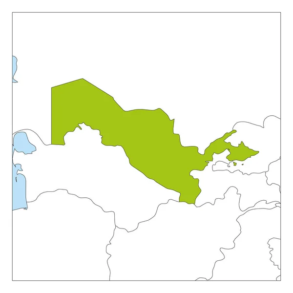
Map of Uzbekistan green highlighted with neighbor countries
Map of Uzbekistan green highlighted with neighbor countries — Stock Vector
Kolubara district map, administrative district of Serbia. Vector illustration.
Kolubara District Map Administrative District Serbia Vector Illustration — Stock Vector
High detailed Outline of the country of BurkinaFaso
High detailed Outline of the country of  BurkinaFaso — Stock Vector
West New Britain Province (Independent State of Papua New Guinea, PNG, Provinces of Papua New Guinea) map vector illustration, scribble sketch West New Britain ma
West New Britain Province (Independent State of Papua New Guinea, PNG, Provinces of Papua New Guinea) map vector illustration, scribble sketch West New Britain ma — Stock Vector
Aegean region map, administrative divisions of Turkey. Vector illustration.
Aegean Region Map Administrative Divisions Turkey Vector Illustration — Stock Vector
Colored Colombia map
Colored Colombia map — Stock Vector
Illustrated Country Shape of Kazakhstan
Illustrated Country Shape of Kazakhstan — Stock Vector
Isolated vector Illustration. Black on White background. EPS 10 Illustration
Isolated Vector Illustration Black White Background Eps Illustration — Stock Vector
Black location map of the Pylaia municipal unit inside gray urban municipal units map of the Greek regional capital city of Thessaloniki, Greece
Black Location Map Pylaia Municipal Unit Gray Urban Municipal Units — Stock Vector
Set of Southeast England, UK region map. Vector illustration.
Set Southeast England Region Map Vector Illustration — Stock Vector
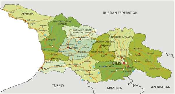
Highly detailed editable political map with separated layers. Georgia.
Highly Detailed Editable Political Map Separated Layers Georgia — Stock Vector
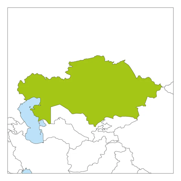
Map of Kazakhstan green highlighted with neighbor countries
Map of Kazakhstan green highlighted with neighbor countries — Stock Vector
Black location map of the Kreis 1 Stadt District inside gray urban districts map of the Swiss regional capital city of Winterthur, Switzerland
Black Location Map Kreis Stadt District Gray Urban Districts Map — Stock Vector
High Quality map is a state of Brazil
High Quality map is a state of Brazil — Stock Vector
White blank vector map of the Republic of South Sudan with black borders of its states
White Blank Vector Map Republic South Sudan Black Borders Its — Stock Vector
Line map of Ukraine on a white background. Outline of the Ukrainian state since 1991. Vector stock symbol.
Line Map Ukraine White Background Outline Ukrainian State 1991 Vector — Stock Vector
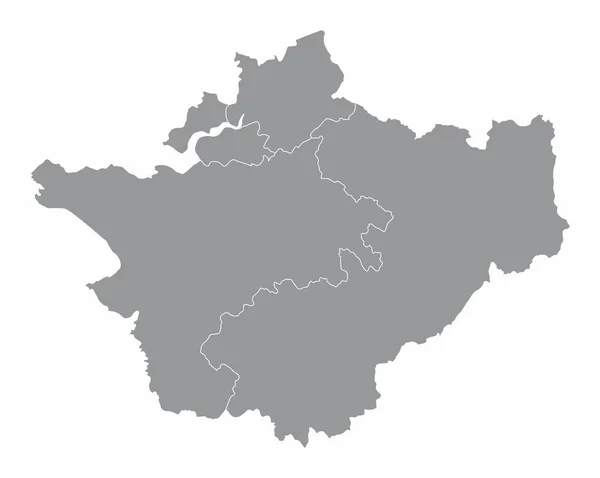
Cheshire county administrative map isolated on white background, England
Cheshire County Administrative Map Isolated White Background England — Stock Vector
Abstract Country Map
Abstract Country Map — Stock Vector
Transparent silhouette of Albania map with shadow
Transparent Silhouette Albania Map Shadow — Stock Vector
Gray 3D Topography Map of European Country of Ukraine
Gray Topography Map European Country Ukraine — Stock Vector
Uzbekistan map filled with black color sign. The word Uzbekistan
Uzbekistan map filled with black color sign. The word Uzbekistan — Stock Vector
Hsinchu County map vecto
Hsinchu County map vecto — Stock Vector
Tanzania Map. Black silhouette country map isolated on white background. Black outline on white background. Vector based
Tanzania Map Black Silhouette Country Map Isolated White Background Black — Stock Vector
Black flat blank highlighted location map of the LENGFELD DISTRICT inside gray administrative map of Wrzburg, Germany
Black Flat Blank Highlighted Location Map Lengfeld District Gray Administrative — Stock Vector
Highly detailed Russian Federation map with borders isolated on background
Highly Detailed Russian Federation Map Borders Isolated Background — Stock Vector
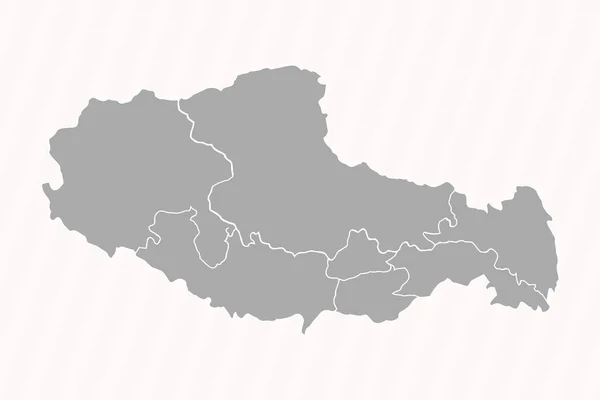
Detailed Map of Tibet With States and Cities
Detailed Map Tibet States Cities — Stock Vector
Aichi Japan map icon
Aichi Japan map icon — Stock Vector

Kazakhstan Map Vector – Find the Perfect Illustrations for Your Projects

If you are looking for high-quality Kazakhstan map vector illustrations, you have come to the right place. Our collection of vector maps meets the needs of various projects – from educational to commercial use. They are versatile, scalable, editable, and customizable to fit your preferences.

AI, EPS, and JPG Formats Available

We offer a variety of file formats for your convenience: AI, EPS, and JPG. Each format suits different purposes depending on the type of project and the software you use. If you work with Adobe Illustrator, the AI format will give you the best results as it allows you to manipulate individual layers and objects. If you prefer a more universal format, the EPS format can be opened in most vector editing software. Lastly, the JPG format is suitable for web use, informal presentations, and documents that don't require a high resolution.

Where Can You Use Kazakhstan Map Vector Illustrations?

Kazakhstan map vector illustrations can be used for various purposes, such as:

  • Presentations and slideshows
  • Infographics and data visualization
  • Brochures, posters, and flyers
  • Web design and online mapping
  • Education materials and textbooks

The possibilities are endless, and it's up to you to decide how to use them creatively. By including map illustrations in your projects, you can add context, relevance, and style to your content. You can highlight regions, cities, landmarks, or natural features, and give your audience a better understanding of the place.

Choosing the Right Kazakstan Map Vector Illustration

When choosing the right Kazakhstan map vector illustration, consider the following factors:

  • Purpose and theme of your project
  • Size and dimensions of the illustration
  • Colour palette and style of the illustration
  • Level of detail and layering of the illustration
  • Compatibility of the file format with your software

By keeping these factors in mind, you can select the best illustration that suits your preferences and needs. Furthermore, you can customize the illustration according to your branding, colour scheme, and visual identity.

Conclusion

In conclusion, Kazakhstan map vector illustrations are a valuable asset for different projects. They offer versatility, scalability, and customization options that can enhance the effectiveness of your content. By choosing the right illustration and using it wisely, you can impress your audience, convey your message, and achieve your goals. Check out our collection of Kazakhstan map vector illustrations and take the first step towards creating memorable projects!