Netherlands map Stock Vector Images

100,000 Netherlands map vector art & graphics are available under a royalty-free license

  • Best Match
  • Fresh
  • Popular
1-100 of 100,000
Dotted Netherlands map
Dotted Netherlands map — Stock Vector
Black Netherlands map
Black Netherlands map — Stock Vector
Western europe - vector maps of territories
Western europe - vector maps of territories — Stock Vector
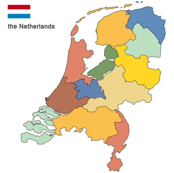
Country the Netherlands
Country the Netherlands — Stock Vector
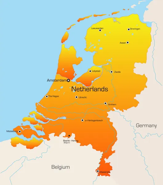
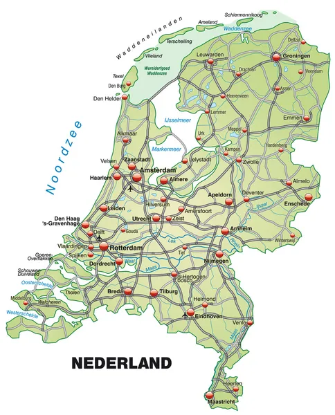
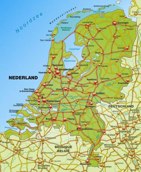
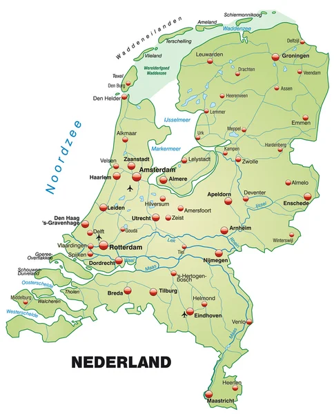
Netherlands map
Netherlands map — Stock Vector
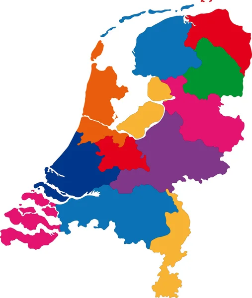
Colorful Netherlands political map
Colorful Netherlands political map — Stock Vector
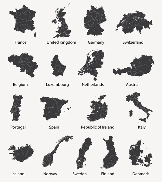
Vector set of european maps with region borders
Vector set of european maps with region borders — Stock Vector
Netherlands map
Netherlands map — Stock Vector
Map of the Netherlands
Map of the Netherlands — Stock Vector
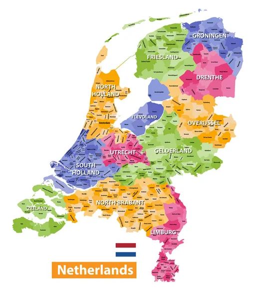
Netherlands high detailed local municipalities map colored by provinces. All elements are separated in detachable and labeled layers. Vector
Netherlands high detailed local municipalities map colored by provinces. All elements are separated in detachable and labeled layers. Vector — Stock Vector
Netherlands map
Netherlands map — Stock Vector
Vector illustration - The Kingdom of the Netherlands
Vector illustration - The Kingdom of the Netherlands — Stock Vector
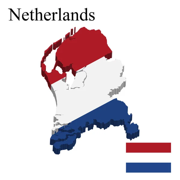
Netherlands Holland map flag glass water card paper 3D vector
Netherlands Holland map flag glass water card paper 3D vector — Stock Vector
Holland flag, map and glossy button.
Holland flag, map and glossy button. — Stock Vector
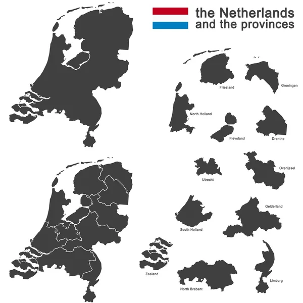
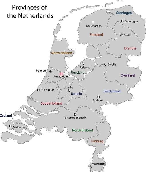
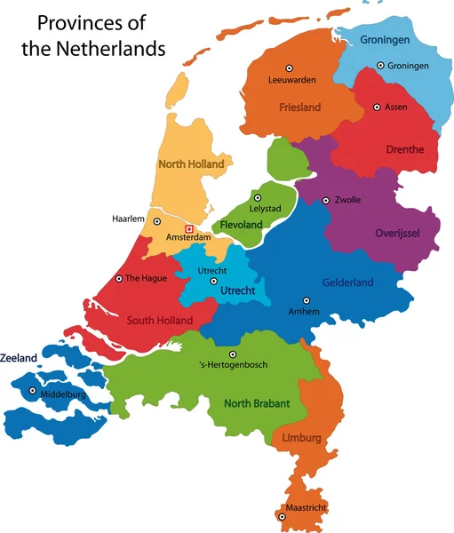
The Netherlands and provinces
The Netherlands and provinces — Stock Vector
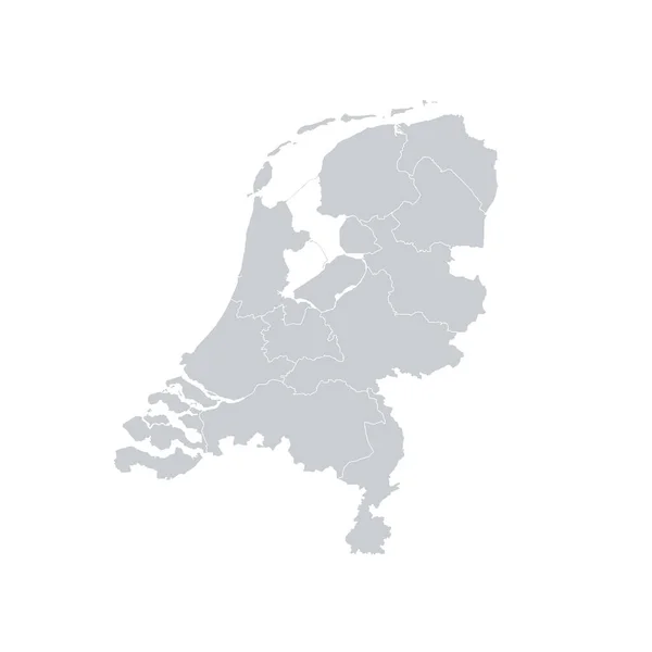
Gray Netherlands map - vector illustration
Gray Netherlands map - vector illustration — Stock Vector
Kingdom of the Netherlands map
Kingdom of the Netherlands map — Stock Vector
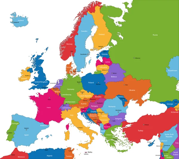
Europe map
Europe map — Stock Vector
Vector Netherlands Map card paper
Vector Netherlands Map card paper — Stock Vector
Netherlands country map polygonal with spot lights places
Netherlands country map polygonal with spot lights places — Stock Vector
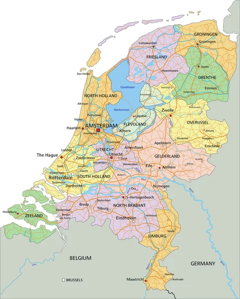
Netherlands - political map
Netherlands -  political map — Stock Vector
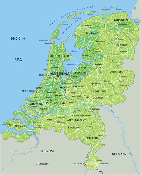
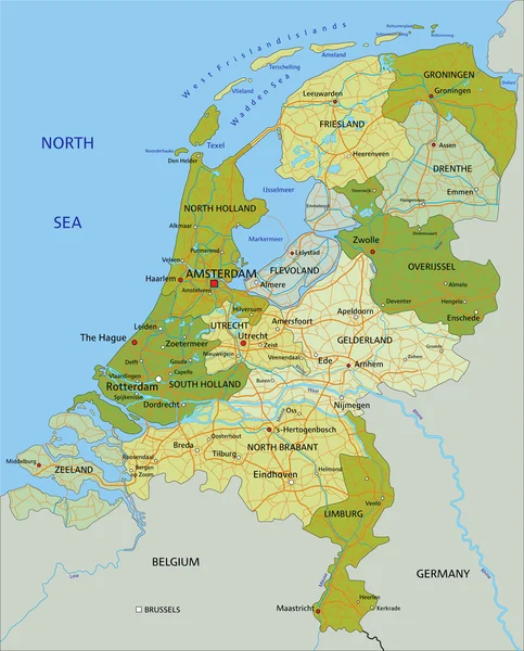
Netherlands physical map with labeling.
Netherlands physical map with labeling. — Stock Vector
Map of the Netherlands
Map of the Netherlands — Stock Vector
Netherlands map with largest cities skylines silhouettes
Netherlands Map Largest Cities Skylines Silhouettes — Stock Vector
Map of Netherlands
Map of Netherlands — Stock Vector
Map of Netherlands
Map of Netherlands — Stock Vector
Netherlands - political map with separated layers.
Netherlands - political map with separated layers. — Stock Vector
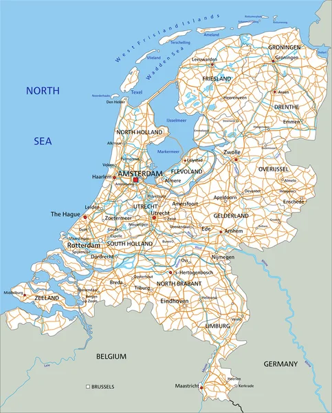
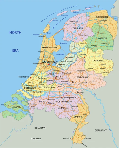
Netherlands road map with labeling.
Netherlands road map with labeling. — Stock Vector
Netherlands - political map with separated layers.
Netherlands - political map with separated layers. — Stock Vector
Map of Netherlands
Map of Netherlands — Stock Vector
Colorful Netherlands map
Colorful Netherlands map — Stock Vector
Europe schengen agreement brussels belgium euro geo card map silhouette vector cartography plan
Europe schengen agreement brussels belgium euro geo card map silhouette vector cartography plan — Stock Vector
Netherlands vector map. Black icon on white background.
Netherlands vector map. Black icon on white background. — Stock Vector
Country Shape Illustration of Netherlands
Country Shape Illustration of Netherlands — Stock Vector
Netherlands map icon vector isolated on white background, logo concept of Netherlands map sign on transparent background, filled black symbol
Netherlands Map Icon Vector Isolated White Background Logo Concept Netherlands — Stock Vector
Armenia - solid black outline border map of country area. Simple flat vector illustration
Armenia - solid black outline border map of country area. Simple flat vector illustration — Stock Vector
Map of Netherlands
Map of Netherlands — Stock Vector
Abstract Country Map
Abstract Country Map — Stock Vector
Country Netherlands silhouette and flag vector
Country Netherlands silhouette and flag vector — Stock Vector
Flat Grey Map of Europe on White Background with National Country Borders
Flat Grey Map Europe White Background National Country Borders — Stock Vector
High quality map of Netherlands . Vector illustration
High Quality Map Netherlands Vector Illustration — Stock Vector
Sanaa governorate, administrative division of the country of Yemen. Vector illustration.
Sanaa Governorate Administrative Division Country Yemen Vector Illustration — Stock Vector
Map of the country
Map of the country — Stock Vector
Netherlands map icon vector illustration design
Netherlands Map Icon Vector Illustration Design — Stock Vector
Netherlands Map black white
Netherlands Map  black white — Stock Vector
Map of the Netherlands on papyrus. Vector illustration.
Map of the Netherlands on papyrus. Vector illustration. — Stock Vector
Map of the Netherlands
Map of the Netherlands — Stock Vector
Sticker flag of Netherlands in form of easter egg
Sticker flag of Netherlands in form of easter egg — Stock Vector
Sar e Pol province map, administrative division of Afghanistan.
Sar Pol Province Map Administrative Division Afghanistan — Stock Vector
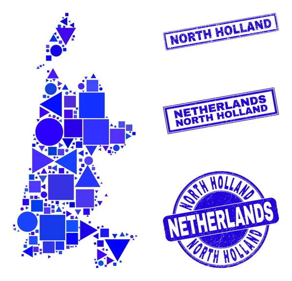
Blue Geometric Mosaic North Holland Map and Seals
Blue Geometric Mosaic North Holland Map and Seals — Stock Vector
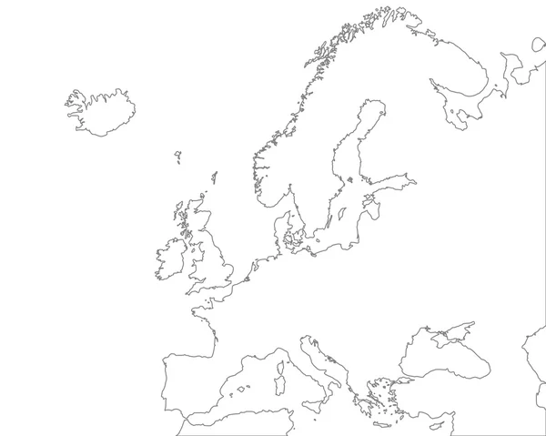
Accurate map of Europe
Accurate map of Europe — Stock Vector
Accurate map of Belgium
Accurate map of Belgium — Stock Vector
Tajikistan - solid black outline border map of country area. Simple flat vector illustration
Tajikistan - solid black outline border map of country area. Simple flat vector illustration — Stock Vector
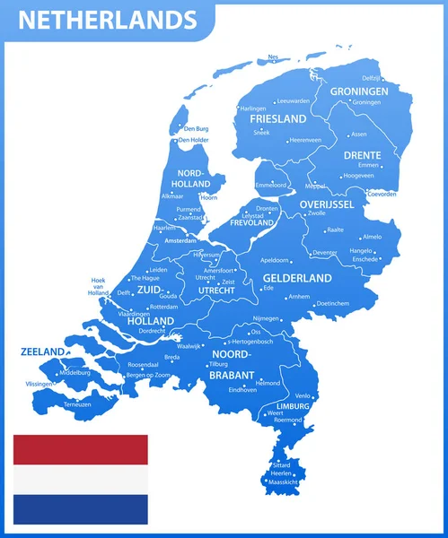
The detailed map of Netherlands with regions or states and cities, capital. Administrative division.
Detailed Map Netherlands Regions States Cities Capital Administrative Division — Stock Vector
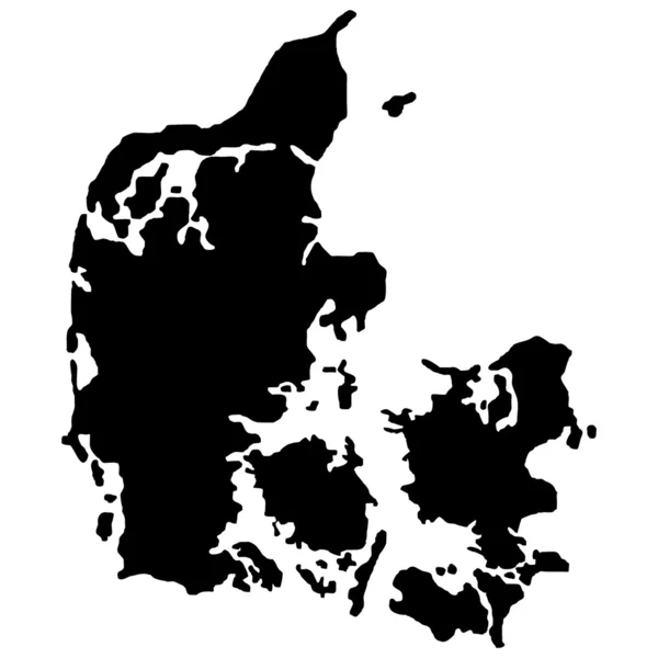
Denmark island map silhouette region, territory, black shape style illustration. Good use for sign, symbol, icon, logo, mascot, or any design you want.
Denmark Island Map Silhouette Region Territory Black Shape Style Illustration — Stock Vector
Narino department map, administrative division of Colombia.
Narino Department Map Administrative Division Colombia — Stock Vector
Venezuela - solid black outline border map of country area. Simple flat vector illustration
Venezuela - solid black outline border map of country area. Simple flat vector illustration — Stock Vector
Abstract waving flag and mosaic map of netherlands. Creative background for patriotic holiday card design. National Poster. Cover, banner in state colors of the Netherlands. Vector tricolor design
Abstract Waving Flag Mosaic Map Netherlands Creative Background Patriotic Holiday — Stock Vector
Netherlands round icon with shadow
Netherlands round icon with shadow — Stock Vector
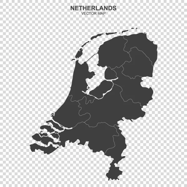
Political map of Netherlands isolated on transparent background
Political Map Netherlands Isolated Transparent Background — Stock Vector
Outline Sketch Map of Denmark With States and Cities
Outline Sketch Map Denmark States Cities — Stock Vector
Sanaa Governorate (Governorates of Yemen, Republic of Yemen) map vector illustration, scribble sketch Sana'a or Sana ma
Sanaa Governorate (Governorates of Yemen, Republic of Yemen) map vector illustration, scribble sketch Sana'a  or Sana ma — Stock Vector
Netherlands map icon vector illustration design
Netherlands Map Icon Vector Illustration Design — Stock Vector
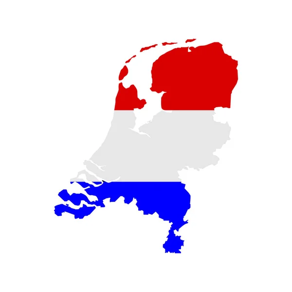
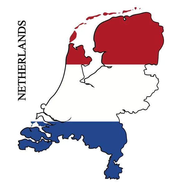
Flag of Netherlands on map on white background. Vector illustration
Flag Netherlands Map White Background Vector Illustration — Stock Vector
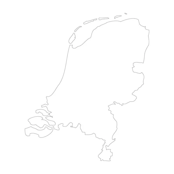
Netherlands country thin black outline. High detailed map. Vector illustration isolated on white background.
Netherlands Country Thin Black Outline High Detailed Map Vector Illustration — Stock Vector
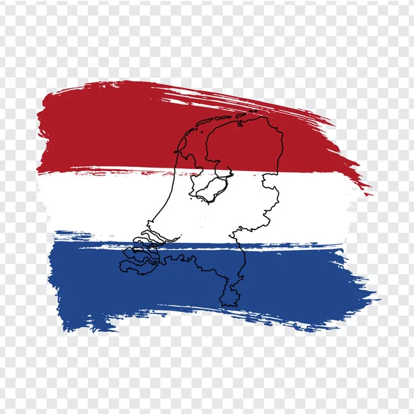
Flag of Netherlands from brush strokes and Blank map of Netherlands. High quality map Netherlands and national flag on transparent background for your web site design. Europe. EPS10.
Flag Netherlands Brush Strokes Blank Map Netherlands High Quality Map — Stock Vector
Netherlands colorful brush strokes painted national country flag
Netherlands colorful brush strokes painted national country flag — Stock Vector
Vector illustration of maps of Denmark
Vector illustration of maps of Denmark — Stock Vector
Holland map icon, outline style
Holland map icon, outline style — Stock Vector
Flag Illustration inside the shape of a world map of the country
Flag Illustration inside the shape of a world map of the country — Stock Vector
Map of Switzerland
Map of Switzerland — Stock Vector
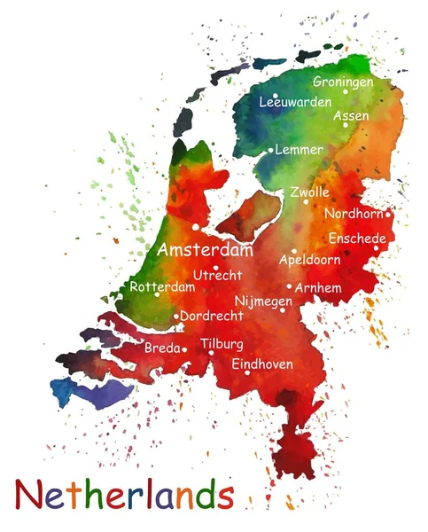
Hand drawn watercolor map of Netherlands.
Hand drawn watercolor map of Netherlands. — Stock Vector
Sar e Pol province map, administrative division of Afghanistan.
Sar Pol Province Map Administrative Division Afghanistan — Stock Vector
Netherlands round ribbon seal
Netherlands round ribbon seal — Stock Vector
Netherlands map vector illustration. Global economy. Famous country. Western Europe. Europe.
Netherlands Map Vector Illustration Global Economy Famous Country Western Europe — Stock Vector
Netherlands, Holland - solid black outline border map of country area. Simple flat vector illustration
Netherlands, Holland - solid black outline border map of country area. Simple flat vector illustration — Stock Vector
Netherlands Ribbon Waving Flag Isolated on White. Vector Illustration.
Netherlands Ribbon Waving Flag Isolated on White. Vector Illustration. — Stock Vector
Illustration of Netherlands flag Template
Illustration Netherlands Flag Template — Stock Vector
Flag of Netherlands. Brush stroke background
Flag of Netherlands. Brush stroke background — Stock Vector
Map of the country of Netherlands
Map of the country of Netherlands — Stock Vector
The Netherlands and provinces
The Netherlands and provinces — Stock Vector
Flag of Netherlands on map on dark background. Vector illustration
Flag Netherlands Map Dark Background Vector Illustration — Stock Vector
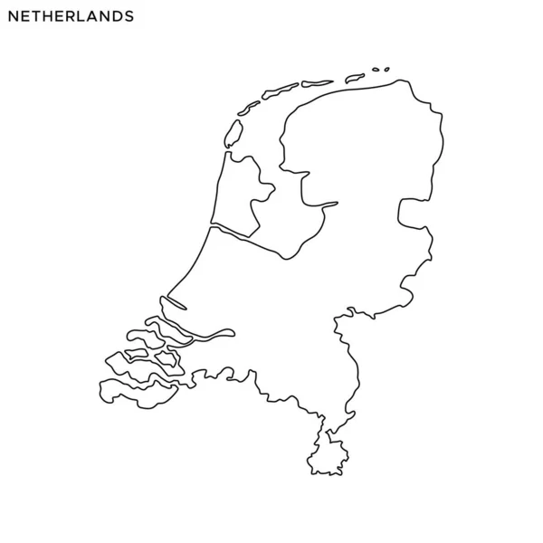
Outline Map of Netherlands Vector Design Template. Editable Stroke
Outline Map Netherlands Vector Design Template Editable Stroke — Stock Vector
Netherlands Flag with colored hand drawn lines in Vector Format
Netherlands Flag with colored hand drawn lines in Vector Format — Stock Vector
Map of the country of Netherlands
Map of the country of Netherlands — Stock Vector
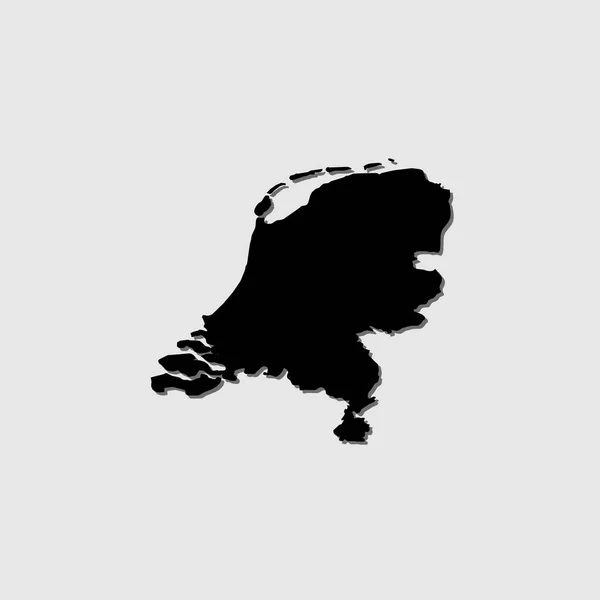
An Illustrated Country Shape with Drop Shadow of Netherlands
Illustrated Country Shape Drop Shadow Netherlands — Stock Vector
Accurate map of Hesse
Accurate map of Hesse — Stock Vector
Denmark
Denmark — Stock Vector
Illustration of the flag, with name, of the country of Netherlan
Illustration of the flag, with name, of the country of Netherlan — Stock Vector
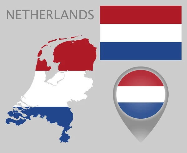
Colorful flag, map pointer and map of Netherlands in the colors of the Netherlands flag. High detail. Vector illustration
Colorful Flag Map Pointer Map Netherlands Colors Netherlands Flag High — Stock Vector
Netherlands Regions Map Vector
Netherlands Regions Map Vector — Stock Vector
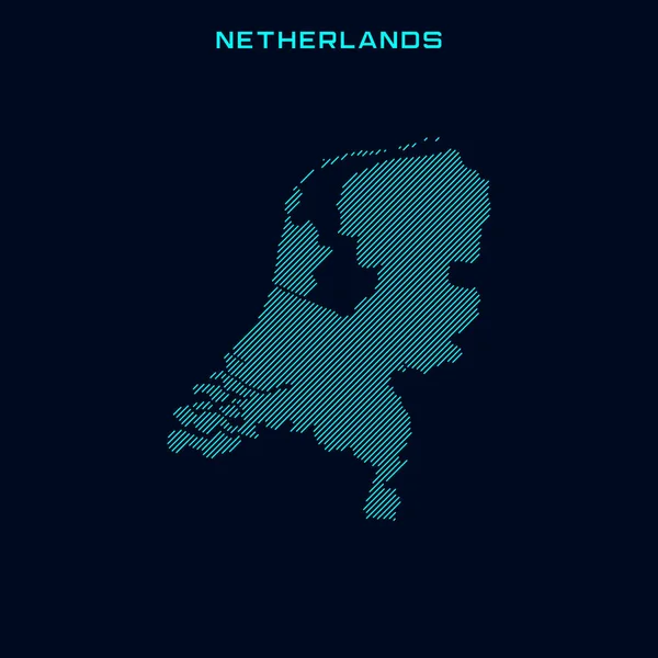
Netherlands Striped Map Vector Design Template On Blue Background
Netherlands Striped Map Vector Design Template Blue Background — Stock Vector
County Tipperary map, administrative counties of Ireland. Vector illustration.
County Tipperary Map Administrative Counties Ireland Vector Illustration — Stock Vector
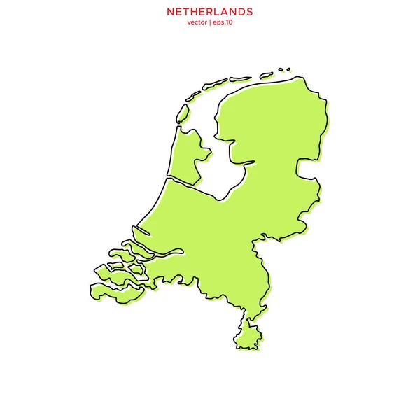
Green Map of Netherlands With Outline Vector Design Template. Editable Stroke
Green Map Netherlands Outline Vector Design Template Editable Stroke — Stock Vector
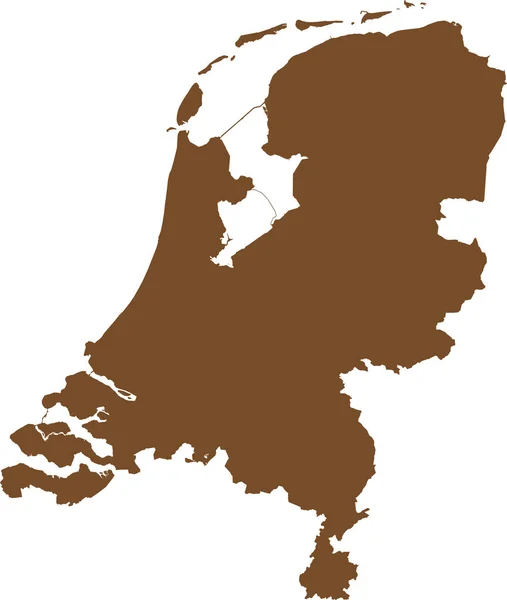
BROWN CMYK color detailed flat stencil map of the European country of NETHERLANDS on transparent background
Brown Cmyk Color Detailed Flat Stencil Map European Country Netherlands — Stock Vector
Realistic flag, vector illustration
Realistic flag, vector illustration — Stock Vector
Singapore map vector outline icon isolated on transparent background, high quality linear Singapore map transparency concept can be used web and mobile
Singapore Map Vector Outline Icon Isolated Transparent Background High Quality — Stock Vector
Colored silhouettes of the netherlands and the regions
Colored Silhouettes Netherlands Regions — Stock Vector
Ajloun governorate map, administrative division of Jordan.
Ajloun Governorate Map Administrative Division Jordan — Stock Vector

Related vector searches

Discover High-Quality Netherlands Map Vectors for Your Next Project

Are you looking for professional Netherlands map vectors for your next project?

If so, you've landed in the right place! Our collection of Netherlands map vectors includes high-quality images that will perfectly suit your needs. Available in formats such as JPG, AI, and EPS, these vectors are perfect for various types of projects. Whether you're working on a website, brochure, flyer, or any other design project, our Netherlands map vectors will be an excellent addition to your visual content.

Moreover, using Netherlands map vectors is a great way to improve the quality of your project. By using professional images, you can quickly grab the attention of your audience and convey your message more effectively. So if you want to take your project to the next level, consider using our Netherlands map vectors.

Why choose our Netherlands map vectors?

Our Netherlands map vectors stand out from the rest for several reasons. First, they're of the highest quality, ensuring that your project will have a professional touch. Second, our vectors are versatile, making them suitable for various types of design projects. Third, they're available in multiple formats, so you can choose the format that best suits your needs.

Besides, our Netherlands map vectors are editable, enabling you to customize them to your liking. You can edit the colors, resize them, and add your text to fit your project's requirements. This capability makes our Netherlands map vectors an excellent choice for different design projects, such as infographics, presentations, and illustrations.

How to effectively use our Netherlands map vectors

While our Netherlands map vectors can take your project to the next level, using them correctly is essential. Here are some tips on how to effectively use our Netherlands map vectors:

1. Use the right format: our Netherlands map vectors are available in different formats; hence, it's vital to choose the right format that suits your project's needs.

2. Choose the right size: when using Netherlands map vectors, it's essential to choose the right size that will fit your design project's requirements.

3. Customize your design: for better results; use our Netherlands map vectors to customize your design, such as editing colors, resizing, and adding text.

4. Be creative: use our Netherlands map vectors creatively to make your project standout.

Where to use our Netherlands map vectors

Our Netherlands map vectors are an excellent addition to different design projects. You can use them on websites, infographics, presentations, flyers, brochures, or any other project that requires high-quality visuals.

Additionally, if your business has branches in different parts of the Netherlands, including our Netherlands map vectors in your visual content can significantly improve your project's quality. Maps are a great tool for indicating physical locations, making it easier to navigate and locate different places.

Conclusion

In conclusion, our Netherlands map vectors are an outstanding choice for improving the quality of your design projects. With high-quality, versatile, and editable graphics, our vectors are an excellent addition for web designers, graphic designers, and businesses. Using our vectors correctly ensures that your project stands out and effectively communicates your message. Hence, if you're looking for quality Netherlands map vectors, look no further than our collection!