Black Simple Detailed Street Roads Map Vintage Beige Background Neighbourhood — Stock Vector

Black simple detailed street roads map on vintage beige background of the neighbourhood Municipio XIII Aurelia municipality of Rome, Italy — Vector

Black simple detailed street roads map on vintage beige background of the neighbourhood Municipio XIII Aurelia municipality of Rome, Italy

 — Vector by momcilo.jovanov

Same Series:

Detailed navigation black lines urban street roads map of the Norwegian regional capital city of ASKY, NORWAY on vintage beige background
Detailed Navigation Black Lines Urban Street Roads Map Norwegian Regional — Stock Vector
Black simple detailed street roads map on vintage beige background of the quarter Blockland subdistrict of Bremen, Germany
Black Simple Detailed Street Roads Map Vintage Beige Background Quarter — Stock Vector
Topographic relief map of the city of FREDRIKSTAD, NORWAY with black contour lines on vintage beige background
Topographic Relief Map City Fredrikstad Norway Black Contour Lines Vintage — Stock Vector
Detailed navigation black lines urban street roads map of the LANGENHOLDINGHAUSEN QUARTER of the German regional capital city of Siegen, Germany on vintage beige background
Detailed Navigation Black Lines Urban Street Roads Map Langenholdinghausen Quarter — Stock Vector
Detailed navigation black lines urban street roads map of the VILL DISTRICT of the Austrian regional capital city of Innsbruck, Austria on vintage beige background
Detailed Navigation Black Lines Urban Street Roads Map Vill District — Stock Vector
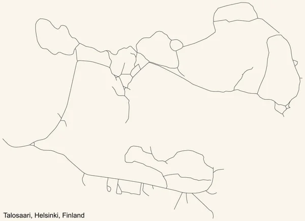
Black simple detailed street roads map on vintage beige background of the quarter Talosaari (Hus) neighbourhood of Helsinki, Finland
Black Simple Detailed Street Roads Map Vintage Beige Background Quarter — Stock Vector
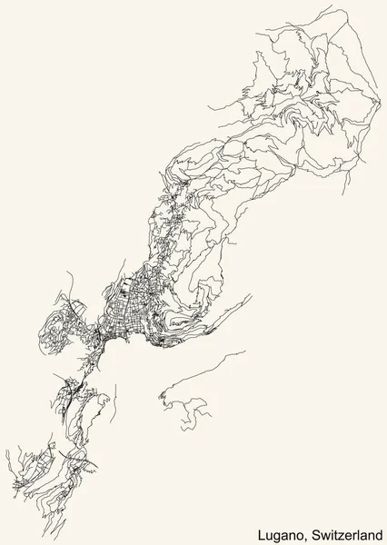
Detailed navigation urban street roads map on vintage beige background of the Swiss regional capital city of Lugano, Switzerland
Detailed Navigation Urban Street Roads Map Vintage Beige Background Swiss — Stock Vector
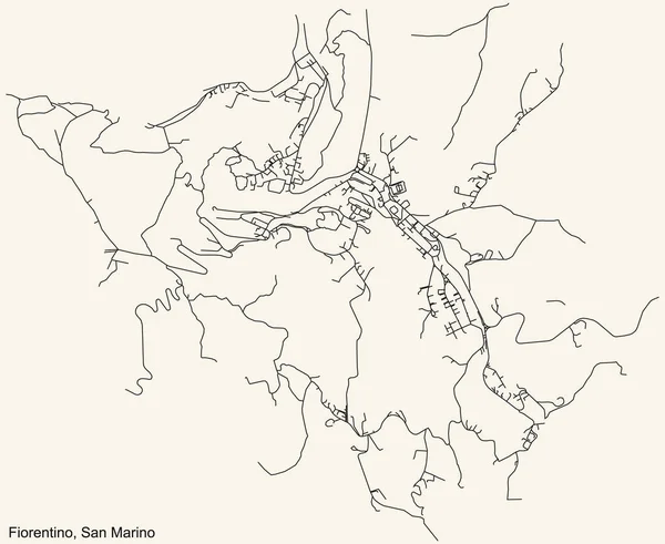
Detailed navigation black lines urban street roads map of the FIORENTINO MUNICIPALITY of the Republic of San Marino on vintage beige background
Detailed Navigation Black Lines Urban Street Roads Map Fiorentino Municipality — Stock Vector
Topographic relief map of the city of SARPSBORG, NORWAY with black contour lines on vintage beige background
Topographic Relief Map City Sarpsborg Norway Black Contour Lines Vintage — Stock Vector
Detailed navigation urban street roads map on vintage beige background of the Bratislavan quarter Vinohrady locality inside Nov Mesto borough of the Slovakian capital city of Bratislava, Slovakia
Detailed Navigation Urban Street Roads Map Vintage Beige Background Bratislavan — Stock Vector
Topographic relief map of the city of ASKY, NORWAY with black contour lines on vintage beige background
Topographic Relief Map City Asky Norway Black Contour Lines Vintage — Stock Vector
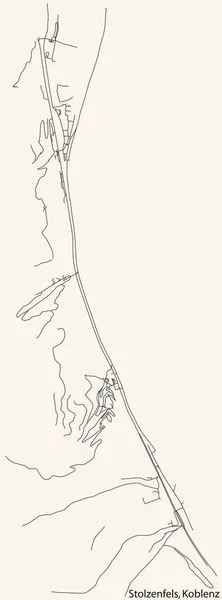
Detailed navigation black lines urban street roads map of the STOLZENFELS QUARTER of the German regional capital city of Koblenz, Germany on vintage beige background
Detailed Navigation Black Lines Urban Street Roads Map Stolzenfels Quarter — Stock Vector
Topographic relief map of the Australian external territory of COCOS (KEELING) ISLANDS, AUSTRALIA with black contour lines on vintage beige background
Topographic Relief Map Australian External Territory Cocos Keeling Islands Australia — Stock Vector
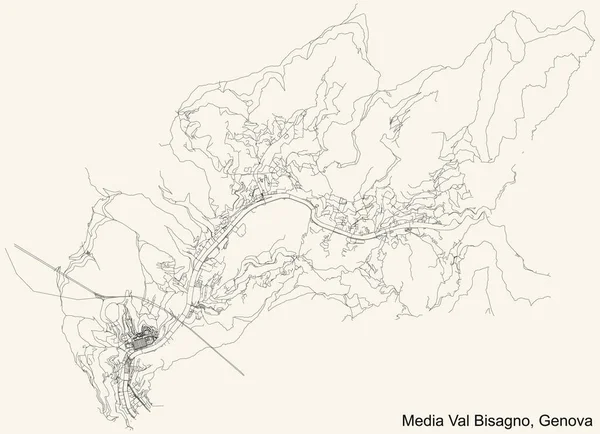
Black simple detailed street roads map on vintage beige background of the quarter Media Val Bisagno district of Genoa, Italy
Black Simple Detailed Street Roads Map Vintage Beige Background Quarter — Stock Vector
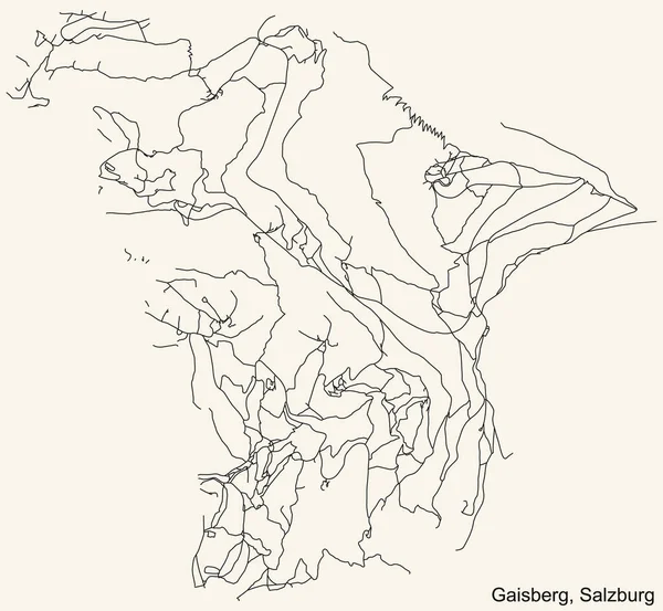
Detailed navigation black lines urban street roads map of the GAISBERG DISTRICT of the Austrian regional capital city of Salzburg, Austria on vintage beige background
Detailed Navigation Black Lines Urban Street Roads Map Gaisberg District — Stock Vector
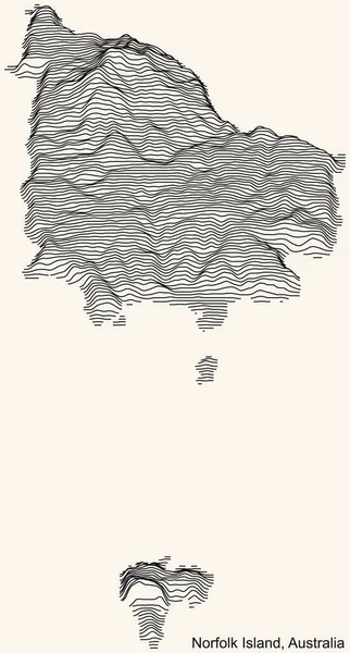
Topographic relief map of the Australian external territory of NORFOLK ISLAND, AUSTRALIA with black contour lines on vintage beige background
Topographic Relief Map Australian External Territory Norfolk Island Australia Black — Stock Vector

Similar Stock Videos:
Indonesia Map Showing Up Intro By Regions 4k animated Indonesia map intro background with countries appearing and fading one by one and camera movement.
Indonesia Map Showing Up Intro By Regions 4k animated Indonesia map intro background with countries appearing and fading one by one and camera movement — Stock Video
Animation of the map of East Asia region
Animation of the map of East Asia — Stock Video
Light blue map of China with cities, roads and railways on a dark blue background. 4K Animation with alpha channel
Light blue map of China with cities, roads and railways on a dark blue background. — Stock Video
Greenhouse gas emissions in Greece from 2000 to 2019. Values in tonnes per capita (CO2 equivalent). Source data: Eurostat. 3D rendering loop able video with 4K resolution.
Greenhouse Gas Emissions Greece 2000 2019 Values Tonnes Capita Co2 — Stock Video
Line animated map showing the state of India from the united state of america. 2d map of India.
Line animated map showing the state of India from the united state of america. 2d map of India. 4k — Stock Video
Abstract line animation Louisiana State of USA on hexagon style. Louisiana state. United States of America. Outline map of Louisiana federal state highlighted from map of USA.
Abstract line animation Louisiana State of USA on hexagon style. Louisiana state. United States of America. Outline map of Louisiana federal state highlighted from map of USA — Stock Video
China map showing up intro by regions. Motion graphics design
China map showing up intro by regions — Stock Video
Line map the national flag of Canada in stop motion effect. Canada flag brush strokes art background. 4k
Line map the national flag of Canada in stop motion effect. Canada flag brush strokes art background. — Stock Video
Belgium Map Showing Up Intro By Regions 4k animated Belgium map intro background with countries appearing and fading one by one and camera movement.
Belgium Map Showing Up Intro By Regions 4k animated Belgium map intro background with countries appearing and fading one by one and camera movement — Stock Video
4k animated Germany map intro background with new administrative regions appearing. Germany Map Showing Up Intro With New Regions.
Germany Map Showing Up Intro With New Regions. 4k animated Germany map intro background with new administrative regions — Stock Video
Line animated map showing the state of Thailand. 2d map of Thailand.
Line animated map showing the state of Thailand. 2d map of Thailand. 4k — Stock Video
Animation of the map of South America continent
Animation of the map of South america — Stock Video
3D animation simulating the Ebola Virus Spreading to Europe from the African outbreak countries
Ebola Virus Spreading to Europe — Stock Video
Wisconsin State of USA. Animated map of USA showing the state of Wisconsin. United States of America. Neumorphism minimal style.
Wisconsin State of USA. Animated map of USA showing the state of Wisconsin. United States of America. Neumorphism minimal style — Stock Video
Drawing a Random Walk Pattern Around Frame
Drawing Random Walk Pattern Frame — Stock Video
The division of Europe and Asia on the map. the city Ekaterinburg divides Europe and Asia. Eurasia on the map Animation. Eurasia. Yekaterinburg animation HD
The division of Europe and Asia on the map. the city Ekaterinburg divides Europe and Asia. Eurasia on the map Animation. Eurasia. Yekaterinburg animation — Stock Video
Germany Map Showing Up Intro By Regions 4k animated Germany map intro background with countries appearing and fading one by one and camera movement.
Germany Map Showing Up Intro By Regions 4k animated Germany map intro background with countries appearing and fading one by one and camera movement — Stock Video
Line animated map showing the state of Italy from the united state of america. 2d map of Italy.
Line animated map showing the state of Italy from the united state of america. 2d map of Italy. 4k — Stock Video

Usage Information

You can use this royalty-free vector image "Black simple detailed street roads map on vintage beige background of the neighbourhood Municipio XIII Aurelia municipality of Rome, Italy" for personal and commercial purposes according to the Standard or Extended License. The Standard License covers most use cases, including advertising, UI designs, and product packaging, and allows up to 500,000 print copies. The Extended License permits all use cases under the Standard License with unlimited print rights and allows you to use the downloaded vector files for merchandise, product resale, or free distribution.

This stock vector image is scalable to any size. You can buy and download it in high resolution up to 7200x3400. Upload Date: Jan 29, 2021