Topographic Relief Map Australian External Territory Cocos Keeling Islands Australia — Stock Vector

Topographic relief map of the Australian external territory of COCOS (KEELING) ISLANDS, AUSTRALIA with black contour lines on vintage beige background — Vector

Topographic relief map of the Australian external territory of COCOS (KEELING) ISLANDS, AUSTRALIA with black contour lines on vintage beige background

 — Vector by momcilo.jovanov

Same Series:

Topographic map of Haiti with red contour lines on beige background
Topographic Map Haiti Red Contour Lines Beige Background — Stock Vector
Topographic relief map of the city of ASKY, NORWAY with black contour lines on vintage beige background
Topographic Relief Map City Asky Norway Black Contour Lines Vintage — Stock Vector
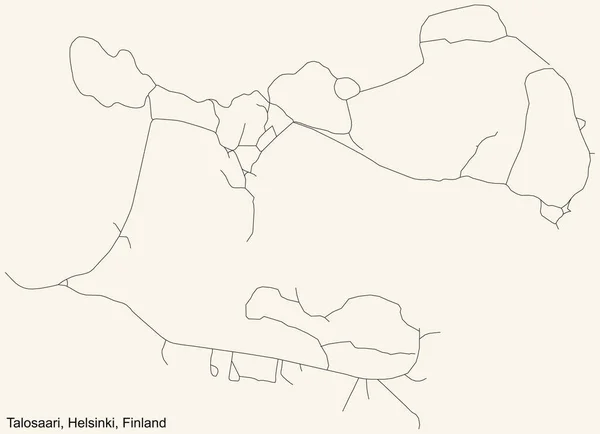
Black simple detailed street roads map on vintage beige background of the quarter Talosaari (Hus) neighbourhood of Helsinki, Finland
Black Simple Detailed Street Roads Map Vintage Beige Background Quarter — Stock Vector
Detailed navigation black lines urban street roads map of the quarter STORHAUG BOROUGH of the Norwegian regional capital city of Stavanger, Norway on vintage beige background
Detailed Navigation Black Lines Urban Street Roads Map Quarter Storhaug — Stock Vector
Detailed navigation black lines urban street roads map of the RIES DISTRICT of the Austrian regional capital city of Graz, Austria on vintage beige background
Detailed Navigation Black Lines Urban Street Roads Map Ries District — Stock Vector
Black simple detailed street roads map on vintage beige background of the quarter Blockland subdistrict of Bremen, Germany
Black Simple Detailed Street Roads Map Vintage Beige Background Quarter — Stock Vector
Black flat blank vector administrative map of the Australian external territory of COCOS (KEELING) ISLANDS, AUSTRALIA
Black Flat Blank Vector Administrative Map Australian External Territory Cocos — Stock Vector
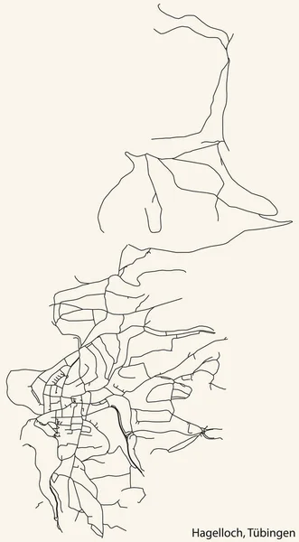
Detailed navigation black lines urban street roads map of the HAGELLOCH DISTRICT of the German town of TBINGEN, Germany on vintage beige background
Detailed Navigation Black Lines Urban Street Roads Map Hagelloch District — Stock Vector
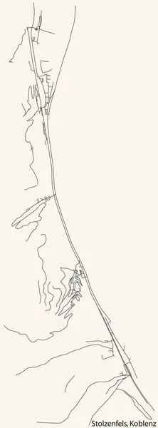
Detailed navigation black lines urban street roads map of the STOLZENFELS QUARTER of the German regional capital city of Koblenz, Germany on vintage beige background
Detailed Navigation Black Lines Urban Street Roads Map Stolzenfels Quarter — Stock Vector
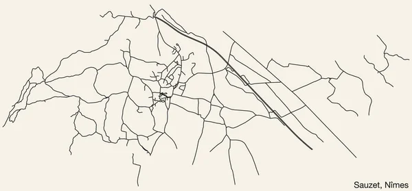
Detailed hand-drawn navigational urban street roads map of the SAUZET COMMUNE of the French city of NMES, France with vivid road lines and name tag on solid background
Detailed Hand Drawn Navigational Urban Street Roads Map Sauzet Commune — Stock Vector
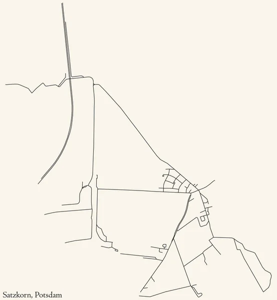
Detailed navigation black lines urban street roads map of the SATZKORN DISTRICT of the German regional capital city of Potsdam, Germany on vintage beige background
Detailed Navigation Black Lines Urban Street Roads Map Satzkorn District — Stock Vector
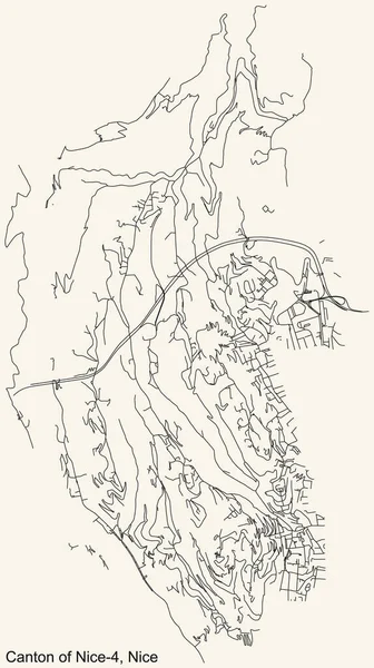
Detailed navigation urban street roads map on vintage beige background of the quarter Canton of Nice-4 district of the French regional capital city of Nice, France
Detailed Navigation Urban Street Roads Map Vintage Beige Background Quarter — Stock Vector
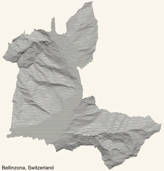
Topographic relief map of the city of Bellinzona, Switzerland with black contour lines on vintage beige background
Topographic Relief Map City Bellinzona Switzerland Black Contour Lines Vintage — Stock Vector
Black simple detailed street roads map on vintage beige background of the neighbourhood Municipio XIII Aurelia municipality of Rome, Italy
Black Simple Detailed Street Roads Map Vintage Beige Background Neighbourhood — Stock Vector
Detailed navigation black lines urban street roads map of the VILL DISTRICT of the Austrian regional capital city of Innsbruck, Austria on vintage beige background
Detailed Navigation Black Lines Urban Street Roads Map Vill District — Stock Vector
Detailed navigation black lines urban street roads map of the WEHRINGHAUSEN BOROUGH of the German regional capital city of Hagen, Germany on vintage beige background
Detailed Navigation Black Lines Urban Street Roads Map Wehringhausen Borough — Stock Vector

Similar Stock Videos:

Time lapse animation of the design process showing how a website or digital application is built or wireframed. The clip is 30 seconds long which should make it easy to edit down or stop when the animation reaches the desired complexity.
Graphic Design Layout Process Time Lapse — Stock Video
Watercolor animated map showing the state of Arkansas from the united state of American. 2d map of Arkansas. 4k Motion graphics.
Watercolor animated map showing the state of Arkansas from the united state of American. 2d map of Arkansas. — Stock Video
Brush animated map showing the state of Kansas from the united state of america. 2d map of Kansas. 4k
Brush animated map showing the state of Kansas from the united state of america. 2d map of Kansas. — Stock Video
Animation of the map of East Asia region
Animation of the map of East Asia — Stock Video
Kentucky State of the United States of America. Animated 3d gold location marker on the map. Easy to use with screen transparency mode on your video. 4k
Kentucky State of the United States of America. Animated 3d gold location marker on the map. Easy to use with screen transparency mode on your video. — Stock Video
New York State of the United States of America. Animated line location marker on the map. Easy to use with screen transparency mode on your video. 4k
New York State of the United States of America. Animated line location marker on the map. Easy to use with screen transparency mode on your video. — Stock Video
Brush animated map showing the state of Missouri from the united state of america. 2d map of Missouri. 4k
Brush animated map showing the state of Missouri from the united state of america. 2d map of Missouri. — Stock Video
Watercolor animated map showing the state of Minnesota from the united state of American. 2d map of Minnesota. 4k Motion graphics.
Watercolor animated map showing the state of Minnesota from the united state of American. 2d map of Minnesota. — Stock Video
Watercolor animated map showing the state of Michigan from the united state of American. 2d map of Michigan. 4k Motion graphics.
Watercolor animated map showing the state of Michigan from the united state of American. 2d map of Michigan. — Stock Video
Abstract line animation Kansas State of USA on hexagon style. Kansas state. United States of America. Outline map of Kansas federal state highlighted from map of USA.
Abstract line animation Kansas State of USA on hexagon style. Kansas state. United States of America. Outline map of Kansas federal state highlighted from map of USA — Stock Video
Brush animated map showing the state of New York from the united state of america. 2d map of New York. 4k
Brush animated map showing the state of New York from the united state of america. 2d map of New York. — Stock Video
Line animated map showing the state of India from the united state of america. 2d map of India.
Line animated map showing the state of India from the united state of america. 2d map of India. 4k — Stock Video
Black line Map of mexican icon isolated on white background. 4K Video motion graphic animation.
Black line Map of mexican icon isolated on white background. 4K Video motion graphic animation — Stock Video
Spain Map Showing Up Intro By Regions 4k animated Spain map intro background with countries appearing and fading one by one and camera movement.
Spain Map Showing Up Intro By Regions 4k animated Spain map intro background with countries appearing and fading one by one and camera movement — Stock Video
Watercolor animated map showing the state of Wisconsin from the united state of American. 2d map of Wisconsin. 4k Motion graphics.
Watercolor animated map showing the state of Wisconsin from the united state of American. 2d map of Wisconsin. — Stock Video
Abstract line animation Washington State of USA on hexagon style. Washington state. United States of America. Outline map of Washington federal state highlighted from map of USA.
Abstract line animation Washington State of USA on hexagon style. Washington state. United States of America. Outline map of Washington federal state highlighted from map of USA — Stock Video
Brush animated map showing the state of South Carolina from the united state of america. 2d map of South Carolina. 4k
Brush animated map showing the state of South Carolina from the united state of america. 2d map of South Carolina. — Stock Video
Abstract line animation Oregon State of USA on hexagon style. Oregon state. United States of America. Outline map of Oregon federal state highlighted from map of USA.
Abstract line animation Oregon State of USA on hexagon style. Oregon state. United States of America. Outline map of Oregon federal state highlighted from map of USA — Stock Video

Usage Information

You can use this royalty-free vector image "Topographic relief map of the Australian external territory of COCOS (KEELING) ISLANDS, AUSTRALIA with black contour lines on vintage beige background" for personal and commercial purposes according to the Standard or Extended License. The Standard License covers most use cases, including advertising, UI designs, and product packaging, and allows up to 500,000 print copies. The Extended License permits all use cases under the Standard License with unlimited print rights and allows you to use the downloaded vector files for merchandise, product resale, or free distribution.

This stock vector image is scalable to any size. You can buy and download it in high resolution up to 3800x6400. Upload Date: Mar 7, 2022