Eswatini Formerly Named Swaziland Gray Political Map Capitals Mbabane Executive — Stock Vector

Eswatini, formerly named Swaziland, gray political map, with capitals Mbabane (executive) and Lobamba (legislative). Landlocked country in Southern Africa, bordered by Mozambique and and South Africa. — Vector

Eswatini, formerly named Swaziland, gray political map, with capitals Mbabane (executive) and Lobamba (legislative). Landlocked country in Southern Africa, bordered by Mozambique and and South Africa.

 — Vector by Furian

Same Series:

Swaziland Political Map with capital Mbabane, national borders, important cities, rivers and lakes. English labeling and scaling. Illustration.
Swaziland Political Map — Stock Vector
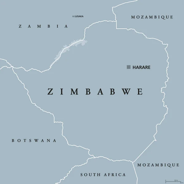
Zimbabwe political map with capital Harare, international borders and neighbors. Republic and landlocked country in South Africa. Former Southern Rhodesia. Gray illustration. English labeling. Vector.
Zimbabwe political map — Stock Vector
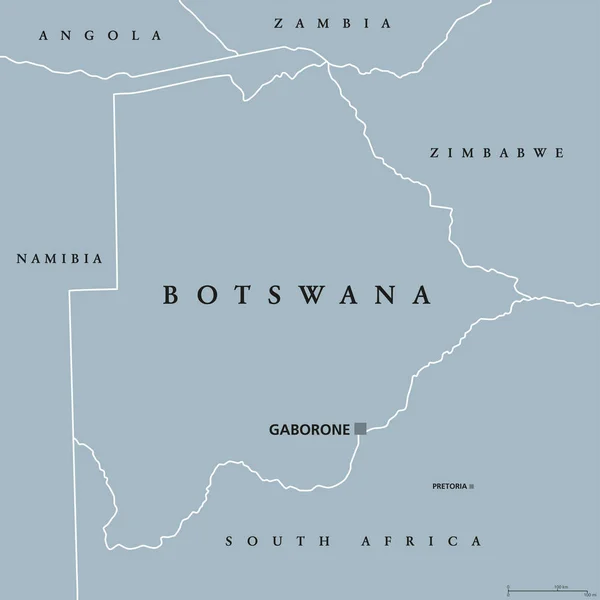
Botswana political map with capital Gaborone and international borders. Republic and landlocked country in Southern Africa. Former Bechuanaland. Gray illustration with English labeling. Vector.
Botswana political map — Stock Vector
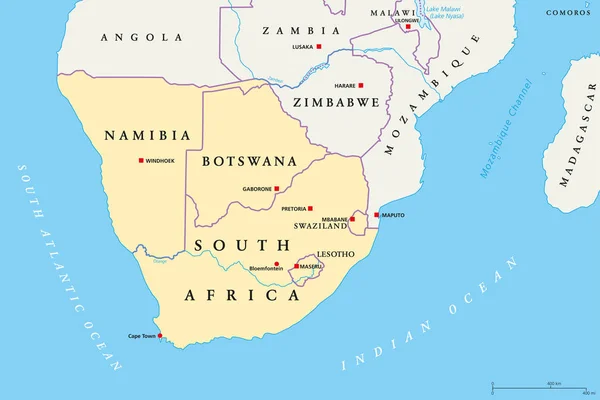
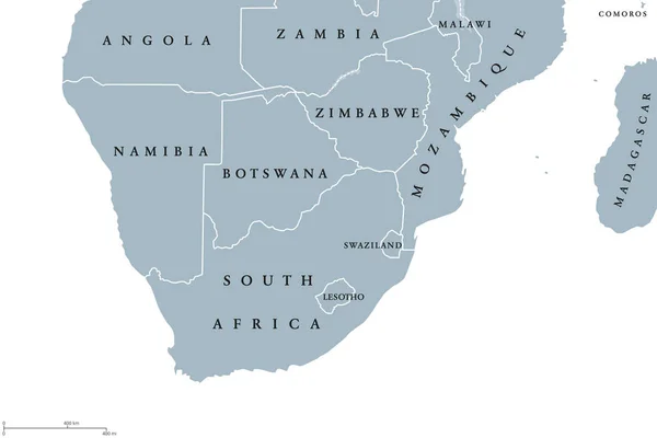
Southern Africa region political map. Southernmost region of African continent. South Africa, Namibia, Botswana, Swaziland and Lesotho. With capitals and borders English labeling. Illustration. Vector
Southern Africa region, political map — Stock Vector
Mozambique political map with capital Maputo. Republic and country in Southeast Africa bordered by the Indian Ocean. Gray illustration isolated on white background. English labeling. Vector.
Mozambique political map — Stock Vector
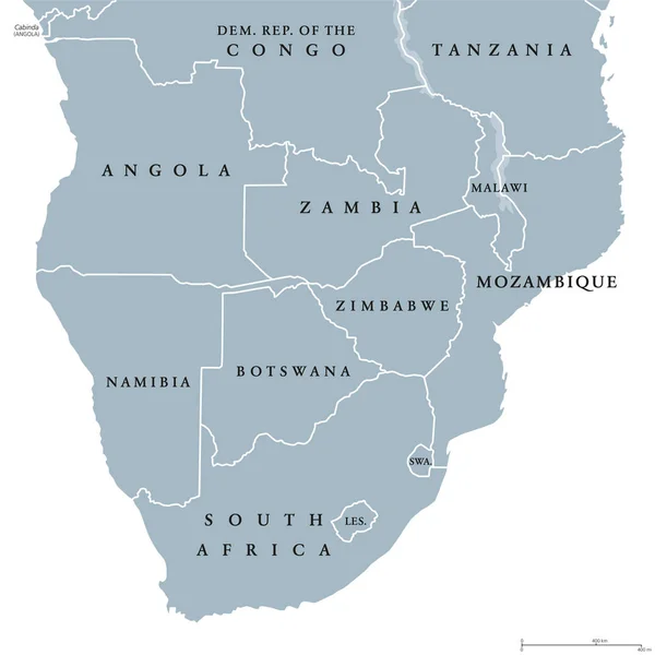
Southern Africa political map with borders of the countries and English labeling. The southernmost region of the African continent. Gray illustration on white background. Vector.
Southern Africa political map — Stock Vector
Zambia political map with capital Lusaka, international borders and neighbors. Republic and landlocked country in Southern Africa. Former Northern Rhodesia. Gray illustration. English labeling. Vector
Zambia political map — Stock Vector
Southern Africa region political map. Southernmost region of African continent. South Africa, Namibia, Botswana, Swaziland and Lesotho. English labeling. Gray illustration on white background. Vector.
Southern Africa region political map — Stock Vector
Political map of South-Central Africa with capitals, national borders, rivers and lakes. With english labeling and scale.
South-Central Africa Political Map — Stock Vector
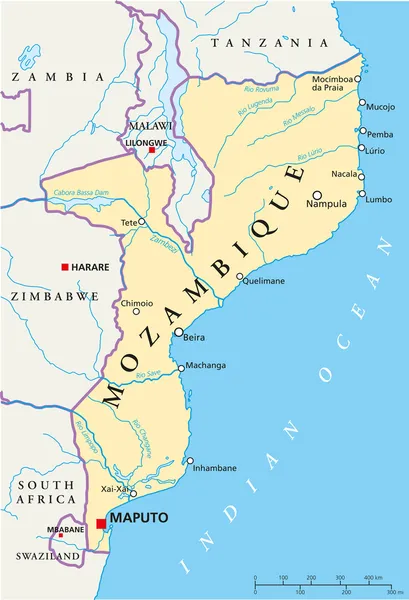
Political map of Mozambique with capital Maputo, with national borders, most important cities, rivers and lakes. Illustration with English labeling and scaling.
Mozambique Political Map — Stock Vector
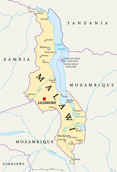
Malawi Political Map with capital Lilongwe, national borders, important cities, rivers and lakes. English labeling and scaling. Illustration.
Malawi Political Map — Stock Vector
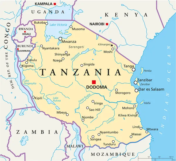
Political map of Tanzania with the capital Dodoma, national borders, most important cities, rivers and lakes. Vector illustration with english labeling and scale.
Tanzania Political Map — Stock Vector
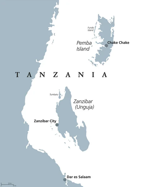
Zanzibar and Pemba Island political map. Semi-autonomous region of Tanzania in East Africa. Zanzibar Archipelago in the Indian Ocean. Gray illustration on white background. English labeling. Vector.
Zanzibar and Pemba Tanzania political map — Stock Vector
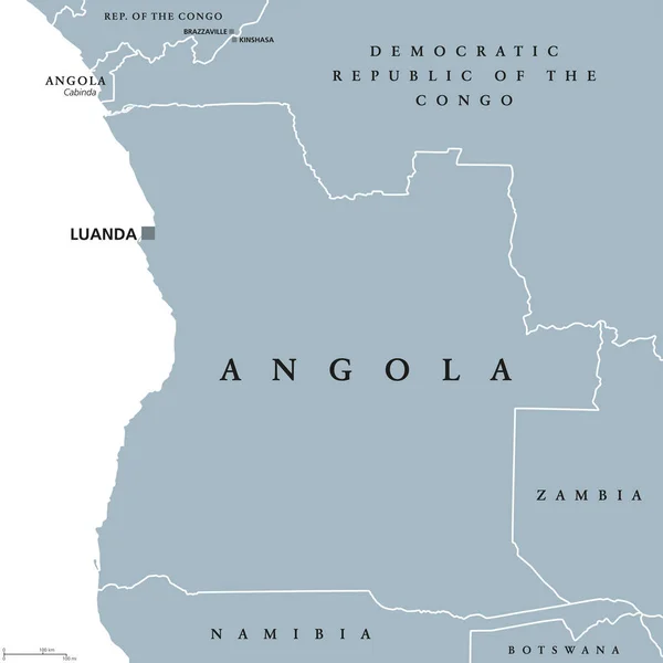
Angola political map with capital Luanda and exclave Cabinda. Republic and country in Southern Africa on the Atlantic Ocean. Gray illustration isolated on white background. English labeling. Vector.
Angola political map — Stock Vector
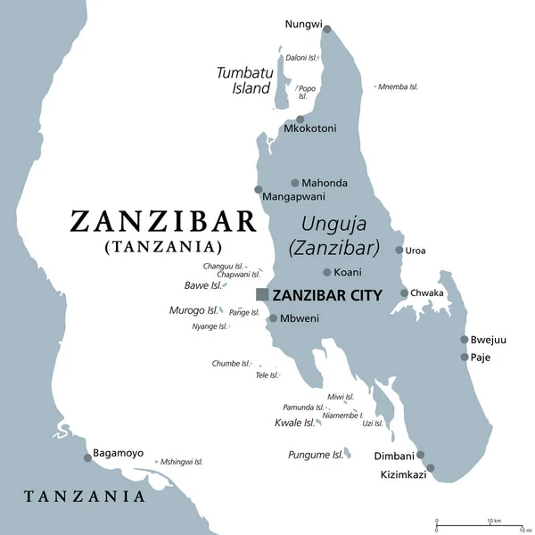
Zanzibar Island, Unguja, Tanzania, gray political map. Largest, most populated island of the Zanzibar Archipelago in the Indian Ocean separated from the African mainland. Isolated illustration. Vector
Zanzibar Island Unguja Tanzania Gray Political Map Largest Most Populated — Stock Vector
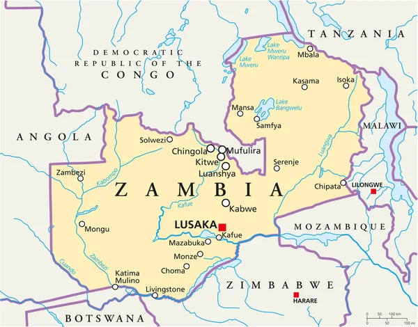
Zambia Political Map with capital Lusaka, national borders, most important cities, rivers and lakes. Illustration with English labeling and scaling.
Zambia Political Map — Stock Vector

Usage Information

You can use this royalty-free vector image "Eswatini, formerly named Swaziland, gray political map, with capitals Mbabane (executive) and Lobamba (legislative). Landlocked country in Southern Africa, bordered by Mozambique and and South Africa." for personal and commercial purposes according to the Standard or Extended License. The Standard License covers most use cases, including advertising, UI designs, and product packaging, and allows up to 500,000 print copies. The Extended License permits all use cases under the Standard License with unlimited print rights and allows you to use the downloaded vector files for merchandise, product resale, or free distribution.

This stock vector image is scalable to any size. You can buy and download it in high resolution up to 6000x6000. Upload Date: Jul 25, 2022