Maryland state detailed editable map — Stock Vector

Maryland state detailed editable map — Vector

Maryland state detailed editable map with cities and towns, geographic sites, roads, railways, interstates and U.S. highways. Vector EPS-10 file, trending color scheme

 — Vector by olinchuk

Same Series:

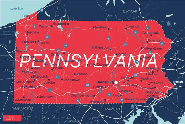
Pennsylvania state detailed editable map with cities and towns, geographic sites, roads, railways, interstates and U.S. highways. Vector EPS-10 file, trending color scheme
Pennsylvania state detailed editable map — Stock Vector
New Jersey state detailed editable map with cities and towns, geographic sites, roads, railways, interstates and U.S. highways. Vector EPS-10 file, trending color scheme
New Jersey state detailed editable map — Stock Vector
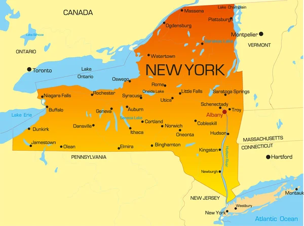
Vector color map of New York state. Usa
New York — Stock Vector
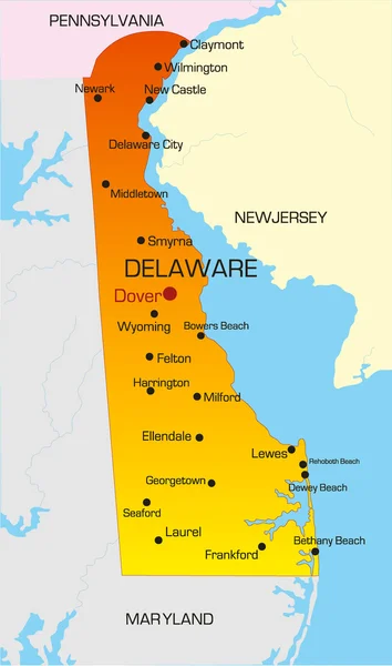
Vector color map of Delaware state. Usa
Delaware — Stock Vector
Massachusetts state detailed editable map with cities and towns, geographic sites, roads, railways, interstates and U.S. highways. Vector EPS-10 file, trending color scheme
Massachusetts state detailed editable map — Stock Vector
Connecticut state detailed editable map with with cities and towns, geographic sites, roads, railways, interstates and U.S. highways. Vector EPS-10 file, trending color scheme
Connecticut state detailed editable map — Stock Vector
Rhode Island state detailed editable map with cities and towns, geographic sites, roads, railways, interstates and U.S. highways. Vector EPS-10 file, trending color scheme
Rhode Island state detailed editable map — Stock Vector
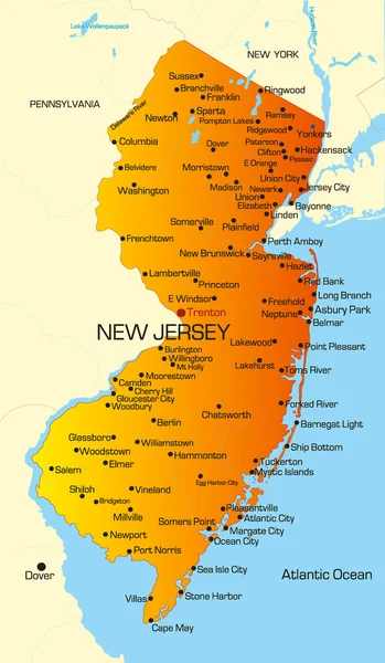
Vector color map of New Jersey state. Usa
New Jersey — Stock Vector
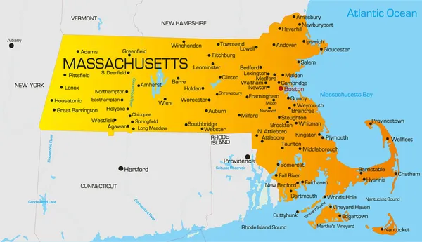
Vector color map of Massachusetts state. Usa
Massachusetts — Stock Vector
Newfoundland and Labrador province vector editable map of the Canada with capital, national borders, cities and towns, rivers and lakes. Vector EPS-10 file
Alberta province vector editable map of the Canada — Stock Vector
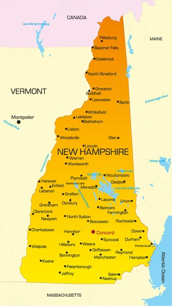
Vector color map of New Hampshire state. Usa
New Hampshire — Stock Vector
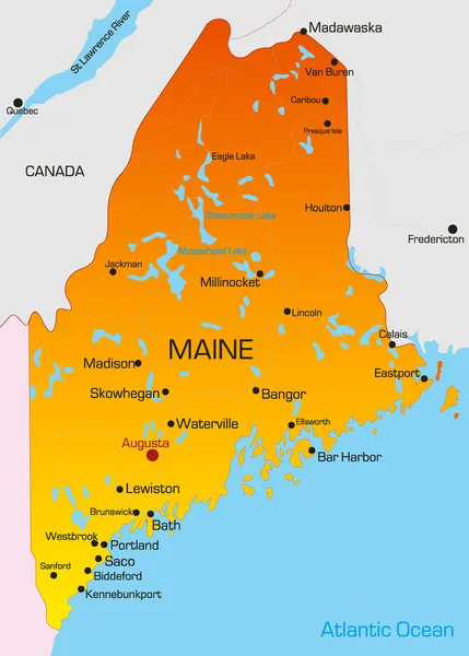
Vector color map of Maine state. Usa
Maine — Stock Vector
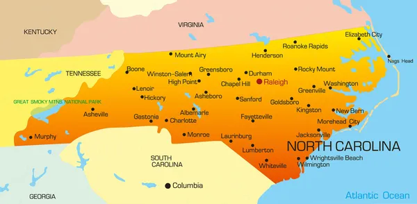
Vector color map of North Carolina state. Usa
North Carolina — Stock Vector
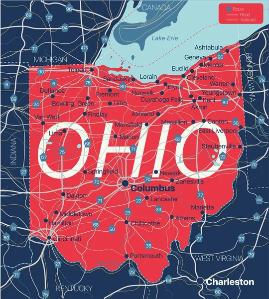
Ohio state detailed editable map with cities and towns, geographic sites, roads, railways, interstates and U.S. highways. Vector EPS-10 file, trending color scheme
Ohio state detailed editable map — Stock Vector
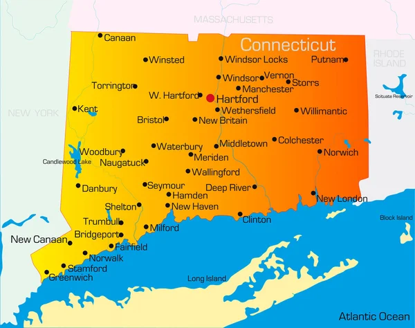
Vector color map of Connecticut state. Usa
Connecticut — Stock Vector
Maine state detailed editable map with cities and towns, geographic sites, roads, railways, interstates and U.S. highways. Vector EPS-10 file, trending color scheme
Maine state detailed editable map — Stock Vector

Similar Stock Videos:
Vintage American Map Animation With States Names/ 4k animation of a vintage textured american map background, with names of fifty states
Vintage American Map Animation States Names Animation Vintage Textured American — Stock Video
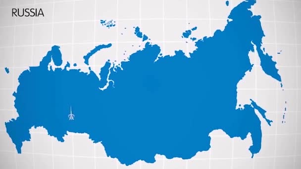
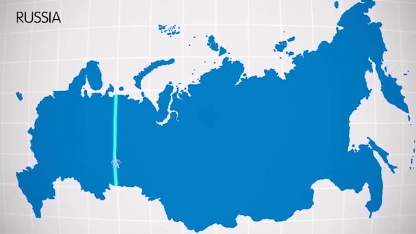
The division of Europe and Asia on the map. the city Ekaterinburg divides Europe and Asia. Eurasia on the map Animation. Eurasia. Yekaterinburg animation HD
The division of Europe and Asia on the map. the city Ekaterinburg divides Europe and Asia. Eurasia on the map Animation. Eurasia. Yekaterinburg animation — Stock Video
Canada map highlighted in Canada flag colors and pin of country capital Ottawa, map with neighboring American countries.
Canada Map Highlighted Canada Flag Colors Pin Country Capital Ottawa — Stock Video
United Kingdom map highlighted in UK flag colors and pin of country capital London, map with neighboring European countries.
United Kingdom Map Highlighted Flag Colors Pin Country Capital London — Stock Video
US State Montana map highlighted in Montana flag colors and pin of country capital Helena, map with neighboring States.
State Montana Map Highlighted Montana Flag Colors Pin Country Capital — Stock Video
Light blue map of USA with cities and car roads on a dark blue background. 4K Animation with alpha channel
Light blue map of USA with cities and car roads on a dark blue background. — Stock Video
Pencil sketch of the United States map (Animation)
Pencil sketch of the United States map (Animation) — Stock Video
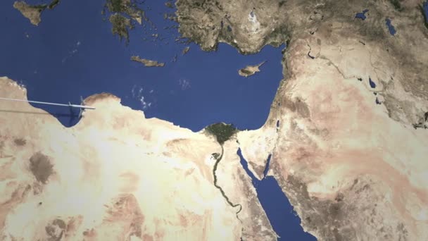
Airplane arrives to city. 3D
Airplane flying to Jerusalem, Israel from west. Intro 3D animation — Stock Video
Light blue map of China with cities, roads and railways on a dark blue background. 4K Animation with alpha channel
Light blue map of China with cities, roads and railways on a dark blue background. — Stock Video
Divisions of Bangladesh animation map
Divisions Bangladesh Animation Map — Stock Video
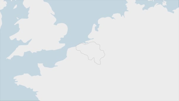
Belgium map highlighted in Belgium flag colors and pin of country capital Brussels, map with neighboring European countries.
Belgium Map Highlighted Belgium Flag Colors Pin Country Capital Brussels — Stock Video
The division of Europe and Asia on the map. the city Ekaterinburg divides Europe and Asia. Eurasia on the map Animation. Eurasia. Yekaterinburg animation HD
The division of Europe and Asia on the map. the city Ekaterinburg divides Europe and Asia. Eurasia on the map Animation. Eurasia. Yekaterinburg animation — Stock Video
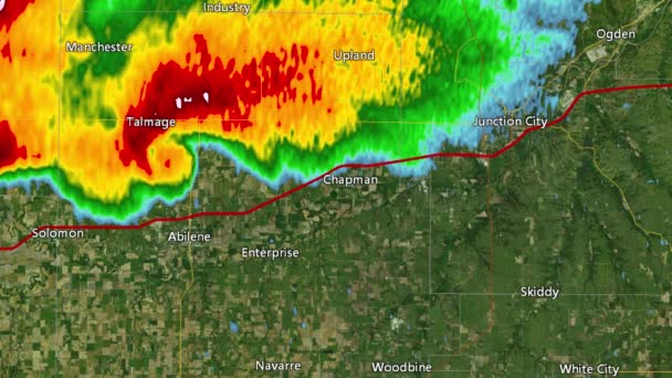
2016 Solomon/Abeline/Chapman, Kansas tornado event. Depicts radar imagery (reflectivity) taken by National Weather Service NEXRAD radar. There is an identical version WITH warning boxes available in our portfolio
2016 Solomon/Abilene/Chapman, KS Tornado Doppler Radar (Without Warn Boxes) — Stock Video
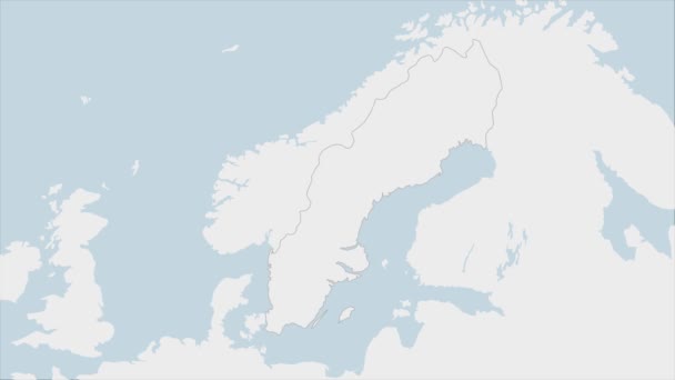
Sweden map highlighted in Sweden flag colors and pin of country capital Stockholm, map with neighboring European countries.
Sweden Map Highlighted Sweden Flag Colors Pin Country Capital Stockholm — Stock Video
Vintage American Map Animation With States Names/ 4k animation of a vintage textured american map background, with names of fifty states
Vintage American Map Animation States Names Animation Vintage Textured American — Stock Video
Governatorates of Kuwait- geography map
Governatorates Kuwait Geography Map — Stock Video
Municipalities of East Timor
Municipalities East Timor — Stock Video
Provinces of Iran animation map
Provinces Iran Animation Map — Stock Video

Usage Information

You can use this royalty-free vector image "Maryland state detailed editable map" for personal and commercial purposes according to the Standard or Extended License. The Standard License covers most use cases, including advertising, UI designs, and product packaging, and allows up to 500,000 print copies. The Extended License permits all use cases under the Standard License with unlimited print rights and allows you to use the downloaded vector files for merchandise, product resale, or free distribution.

This stock vector image is scalable to any size. You can buy and download it in high resolution up to 6876x4053. Upload Date: Dec 7, 2020