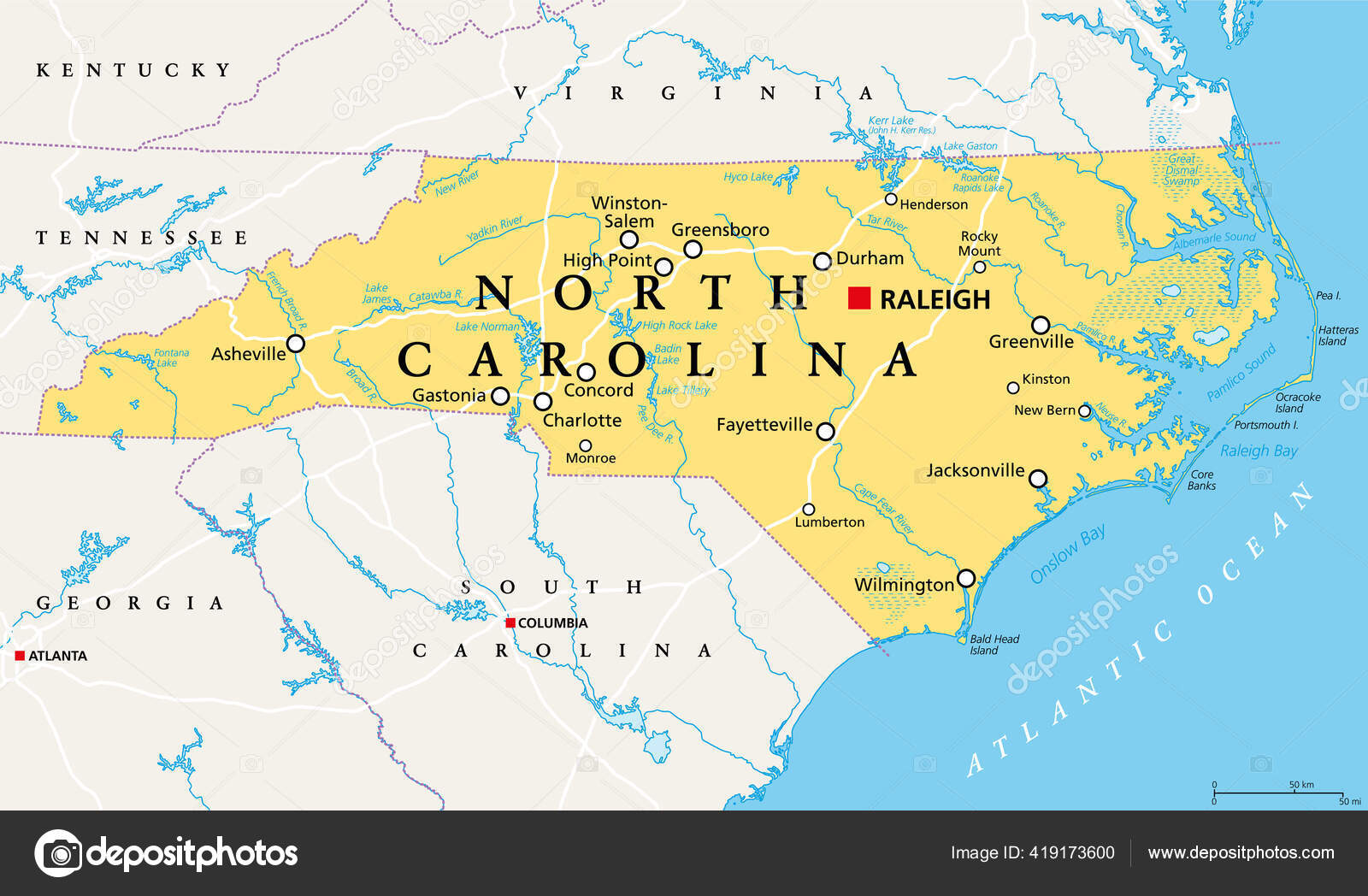
North Carolina Political Map Capital Raleigh Largest Cities State Southeastern — Stock Vector

North Carolina, NC, political map. With the capital Raleigh and largest cities. State in the southeastern region of the United States of America. Old North State. Tar Heel State. Illustration. Vector. — Vector

North Carolina, NC, political map. With the capital Raleigh and largest cities. State in the southeastern region of the United States of America. Old North State. Tar Heel State. Illustration. Vector.

 — Vector by Furian

Same Series:

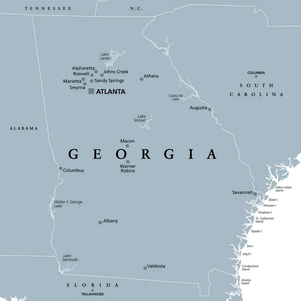
Georgia, GA, gray political map with capital Atlanta and largest cities. State in the southeastern region of the United States of America. Peach State. Empire State of the South. Illustration. Vector
Georgia Gray Political Map Capital Atlanta Largest Cities State Southeastern — Stock Vector
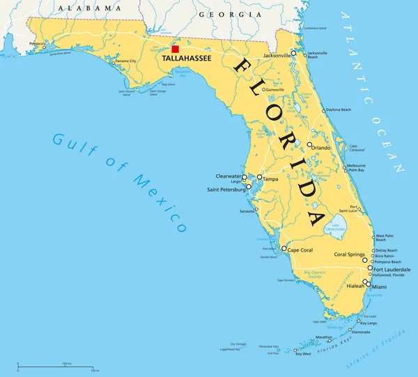
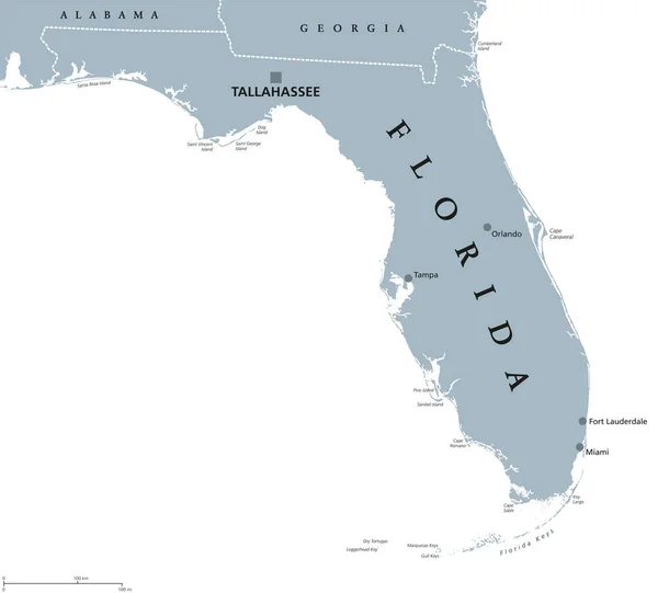
Florida political map with capital Tallahassee, borders, important places, rivers and lakes. State, located in the southeastern region of the United States. Illustration with English labeling. Vector.
Florida political map — Stock Vector
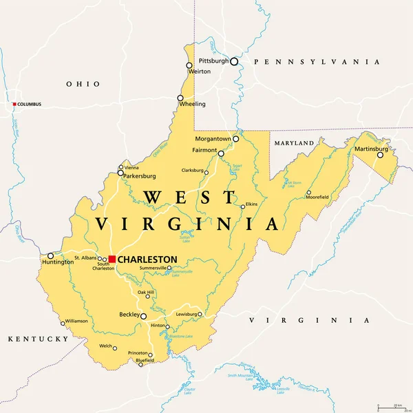
West Virginia, WV, political map. State in the Appalachian region of Southern United States of America. Part of Mid-Atlantic Southeast Region. Capital Charleston. Mountain State. Illustration. Vector.
West Virginia Political Map State Appalachian Region Southern United States — Stock Vector
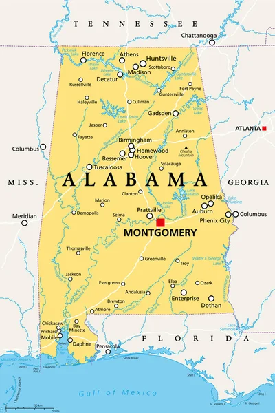
Alabama, AL, political map with the capital Montgomery, cities, rivers and lakes. State in the Southeastern region of the United States, nicknamed Yellowhammer State, Heart of Dixie, and Cotton State.
Alabama Political Map Capital Montgomery Cities Rivers Lakes State Southeastern — Stock Vector
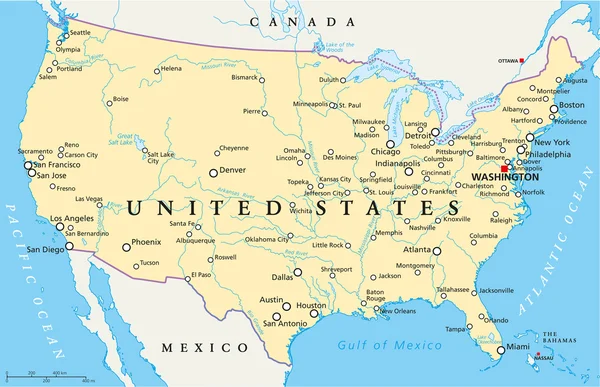
United States of America Political Map with capital Washington, national borders, most important cities, rivers and lakes, except Hawaii and Alaska. English labeling and scaling.
United States of America Political Map — Stock Vector
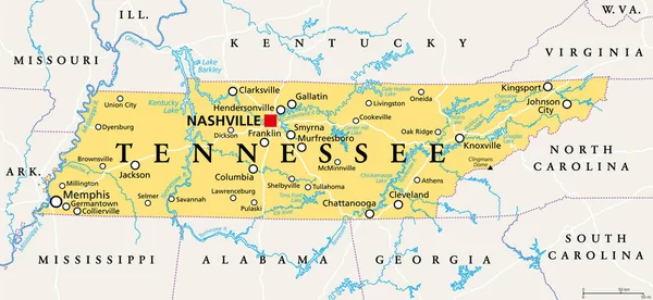
Tennessee, TN, political map, with capital Nashville, largest cities, lakes and rivers. State of Tennessee. Landlocked state in Southeastern region of the United States, nicknamed The Volunteer State.
Tennessee Political Map Capital Nashville Largest Cities Lakes Rivers State — Stock Vector
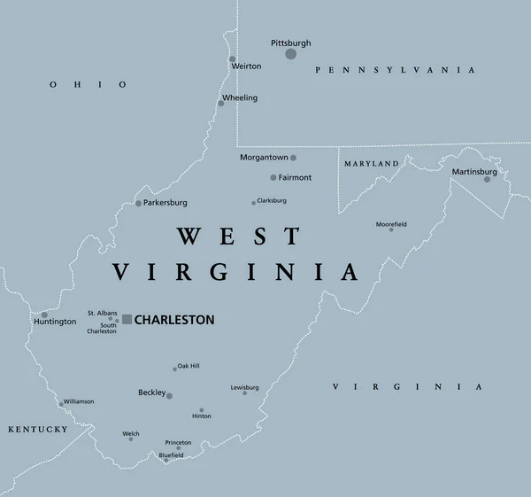
West Virginia, WV, gray political map. State in the Appalachian region of the Southern United States and in the Mid-Atlantic Southeast Region. Capital Charleston. Mountain State. Illustration. Vector.
West Virginia Gray Political Map State Appalachian Region Southern United — Stock Vector
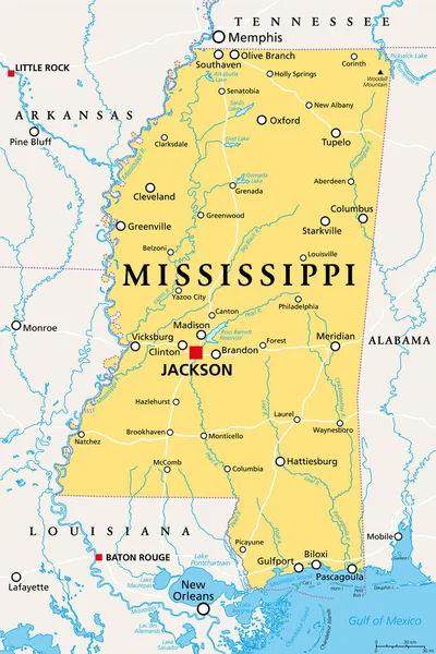
Mississippi, MS, political map, with capital Jackson, important cities, rivers and lakes. State in the Southeastern region of the United States, nicknamed The Magnolia State and The Hospitality State.
Mississippi Political Map Capital Jackson Important Cities Rivers Lakes State — Stock Vector
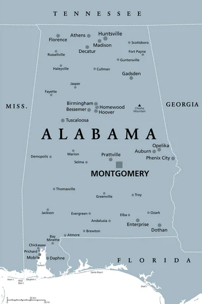
Alabama, AL, gray political map, with capital Montgomery, large and important cities. State in the Southeastern region of United States, nicknamed Yellowhammer State, Heart of Dixie, and Cotton State.
Alabama Gray Political Map Capital Montgomery Large Important Cities State — Stock Vector
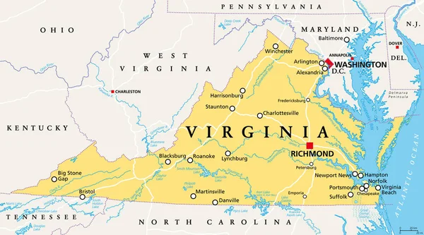
Virginia, VA, political map. Commonwealth of Virginia. State in Southeastern and Mid-Atlantic region of the United States. Capital Richmond. Old Dominion. Mother of Presidents. Illustration. Vector.
Virginia Political Map Commonwealth Virginia State Southeastern Mid Atlantic Region — Stock Vector
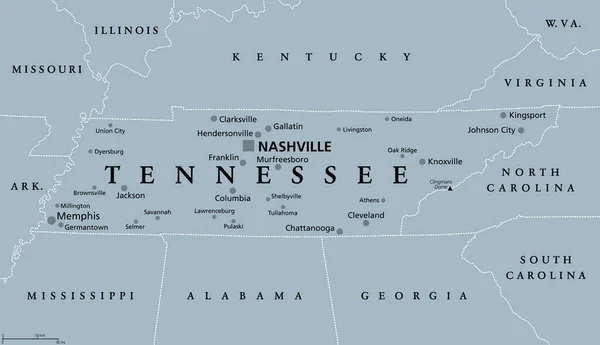
Tennessee, TN, gray political map, with capital Nashville, and with large, important cities. State of Tennessee, located in the Southeastern region of the United States. Nicknamed The Volunteer State.
Tennessee Gray Political Map Capital Nashville Large Important Cities State — Stock Vector
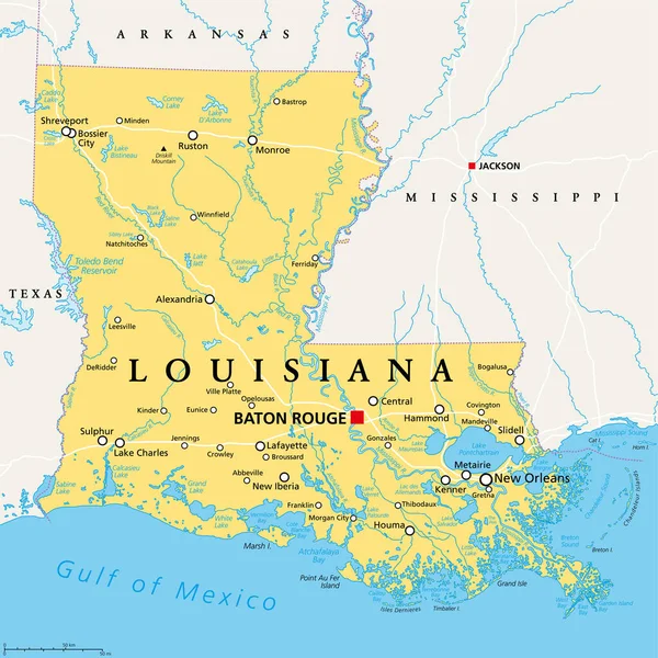
Louisiana, LA, political map, with capital Baton Rouge and metropolitan area New Orleans. State in Deep South and South Central regions of the United States, nicknamed Pelican, Bayou and Creole State.
Louisiana Political Map Capital Baton Rouge Metropolitan Area New Orleans — Stock Vector
Arkansas, AR, political map, with capital Little Rock, and largest cities, lakes and rivers. Landlocked state in the South Central United States, nicknamed The Natural State, and Land of Opportunity.
Arkansas Political Map Capital Little Rock Largest Cities Lakes Rivers — Stock Vector
United States of America Political Map with capital Washington, national borders, most important cities, rivers and lakes. With single states, their borders and capitals, except Hawaii and Alaska. English labeling and scaling.
United States of America Political Map — Stock Vector
Louisiana, LA, gray political map with capital Baton Rouge and metropolitan area New Orleans. State in Deep South and South Central regions of United States, nicknamed Pelican, Bayou and Creole State.
Louisiana Gray Political Map Capital Baton Rouge Metropolitan Area New — Stock Vector
Florida political map with capital Tallahassee. State in the southeastern region of the United States, bordered by the Gulf of Mexico. Gray illustration on white background. English labeling. Vector.
Florida United States political map — Stock Vector

Similar Stock Videos:
Animated detailed map of Germany country
Animated detailed map of Germany — Stock Video
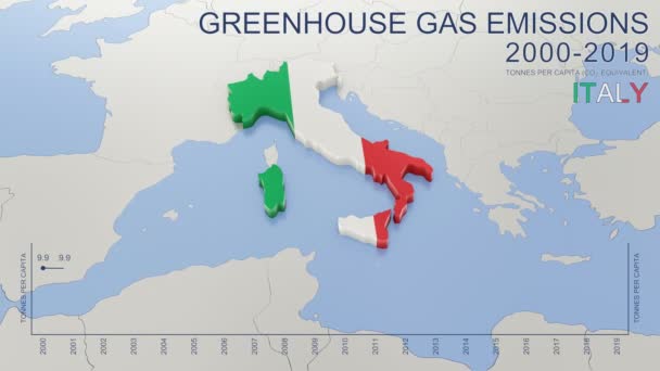
Greenhouse gas emissions in Italy from 2000 to 2019. Values in tonnes per capita (CO2 equivalent). Source data: Eurostat. 3D rendering loop able video with 4K resolution.
Greenhouse Gas Emissions Italy 2000 2019 Values Tonnes Capita Co2 — Stock Video
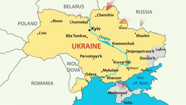
War in Ukraine. Russia attacked Ukraine February 24, 2022. Animated map of Russia invasion of Ukraine, the movement of troops. Ukrainians are fighting for their freedom and democracy
War in Ukraine — Stock Video
Brazil on a political map of the world. Video defocuses showing and hiding the map.
Brazil Political Map World Video Defocuses Showing Hiding Map — Stock Video
Blue and dark blue. Map of New York. Zoom from a world map to a map of New York. 4K FHD 60 fps animation.
Blue and dark blue. Map of New York. World map. Map of the USA. Zoom from a world map to a map of New York. Zoom from USA map to New York map. 4K FHD 60 fps animation. — Stock Video
War in Ukraine. Russia attacked Ukraine February 24, 2022. Animated map of Russia invasion of Ukraine, the movement of troops. Ukrainians are fighting for their freedom and democracy
War in Ukraine — Stock Video
World Map Flight Over Background/ 4k animation of a multicolored world map travel background flight over with ocean, countries and cities names
World Map Flight Background Animation Multicolored World Map Travel Background — Stock Video
4k quality footage of luxury travel scratch map of blogger with one dollar coin
One dollar coin spin on black scratch travel map of Saudi Arabia, Iraq and Iran — Stock Video
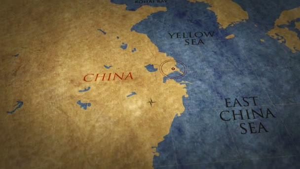
Shanghai on simple retro paper map. 3D flight over grunge atlas chart with city marked by pushpin.
Shanghai Simple Retro Paper Map Flight Grunge Atlas Chart City — Stock Video
4k quality footage of luxury travel scratch map of blogger with one dollar coin
Vintage one dollar coin on black scratch travel map of Europe, EU — Stock Video
Close-up view map of Ukraine.
Close View Map Ukraine — Stock Video
Map on digital tablet
Map on digital tablet — Stock Video
4k quality footage of luxury travel scratch map of blogger with one dollar coin
Person with one dollar coin erase black scratch travel map of Saudi Arabia — Stock Video
Al-Idrisi's Tabula Rogeriana Middle East Map created in 1154, the most advanced medieval world maps, shallow depth of field close-up slow tilt up CGI shot.
Idrisi Tabula Rogeriana Middle East Map Created 1154 Most Advanced — Stock Video
Close up of a detailed printed world atlas map
World Atlas Map — Stock Video
European union countries and Ukraine, Russia and Belarus.
European Union Countries Ukraine Russia Belarus — Stock Video
Sudan on a political map of the world. Video defocuses showing and hiding the map.
Sudan Political Map World Video Defocuses Showing Hiding Map — Stock Video
South Sudan on a political map of the world. Video defocuses showing and hiding the map.
South Sudan Political Map World Video Defocuses Showing Hiding Map — Stock Video

Usage Information

You can use this royalty-free vector image "North Carolina, NC, political map. With the capital Raleigh and largest cities. State in the southeastern region of the United States of America. Old North State. Tar Heel State. Illustration. Vector." for personal and commercial purposes according to the Standard or Extended License. The Standard License covers most use cases, including advertising, UI designs, and product packaging, and allows up to 500,000 print copies. The Extended License permits all use cases under the Standard License with unlimited print rights and allows you to use the downloaded vector files for merchandise, product resale, or free distribution.

This stock vector image is scalable to any size. You can buy and download it in high resolution up to 9000x5331. Upload Date: Oct 18, 2020