Cayman islands map Stock Vector Images

100,000 Cayman islands map vector art & graphics are available under a royalty-free license

  • Best Match
  • Fresh
  • Popular
1-100 of 100,000
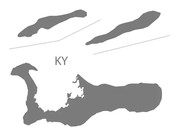
Cayman Islands Map grey
Cayman Islands Map grey — Stock Vector
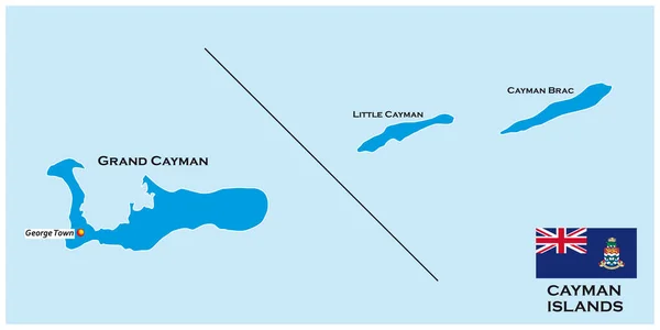
Outline map of the Cayman Islands with flag, United Kingdom
Outline Map Cayman Islands Flag United Kingdom — Stock Vector
Gray flat blank vector administrative map of the Australian external territory of COCOS (KEELING) ISLANDS, AUSTRALIA
Gray Flat Blank Vector Administrative Map Australian External Territory Cocos — Stock Vector
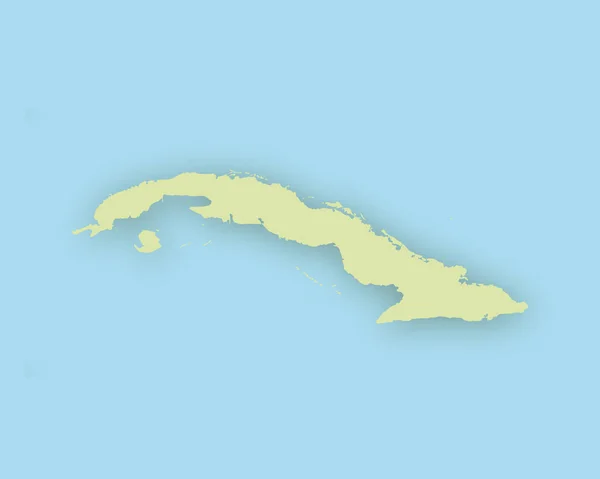
Map of Cuba with shadow
Map of Cuba with shadow — Stock Vector
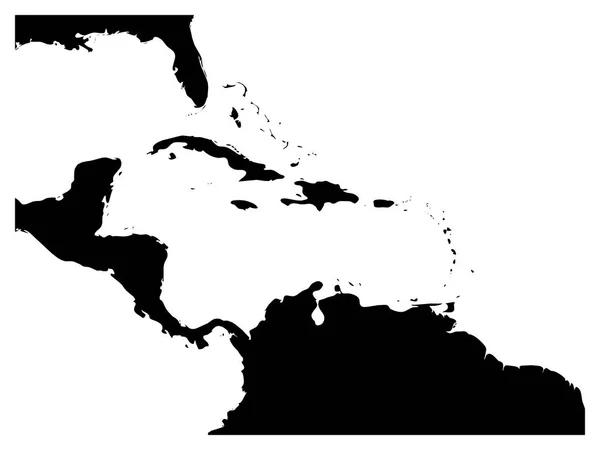
Map of Caribbean region and Central America. Black land silhouette and white water. Simple flat vector illustration
Map of Caribbean region and Central America. Black land silhouette and white water. Simple flat vector illustration — Stock Vector
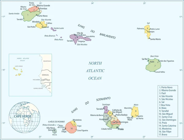
Map of Cape Verde - Highly Detailed Vector illustration
Map Cape Verde Highly Detailed Vector Illustration — Stock Vector
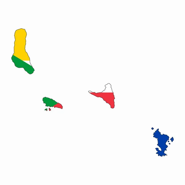
Comoros flag simple illustration for independence day or election
Comoros Flag Simple Illustration Independence Day Election — Stock Vector
3D map on blue water background of Tajikistan
3D map on blue water background of  Tajikistan — Stock Vector
Cape Verde Map - Vintage Detailed Vector Illustration
Cape Verde Map - Vintage Detailed Vector Illustration — Stock Vector
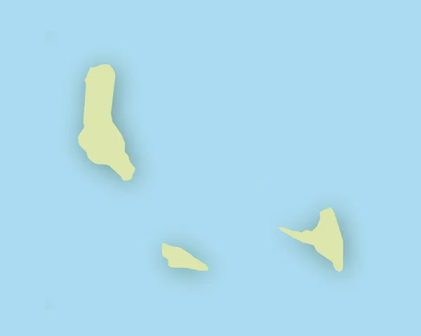
Map of the Comoros with shadow
Map of the Comoros with shadow — Stock Vector
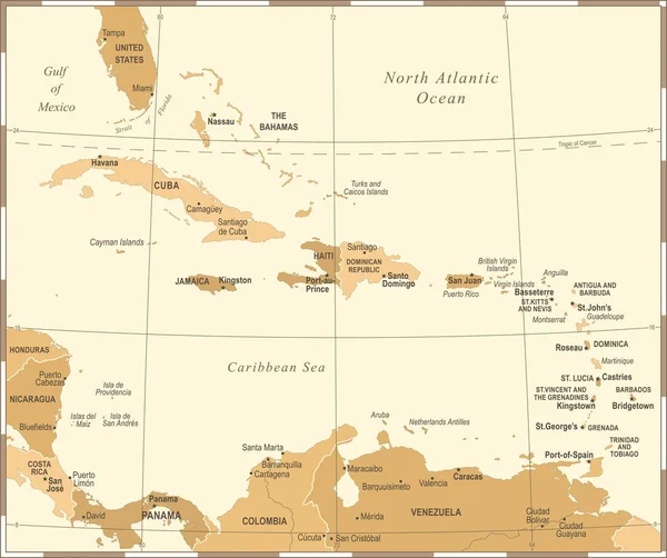
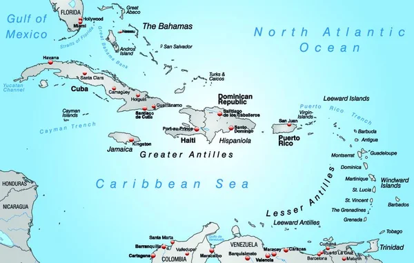
The Caribbean Map - Vintage Vector Illustration
The Caribbean Map - Vintage Vector Illustration — Stock Vector
Map of The Bahamas green highlighted with neighbor countries
Map of The Bahamas green highlighted with neighbor countries — Stock Vector
3D map on blue water background of DemRepublic
3D map on blue water background of  DemRepublic — Stock Vector
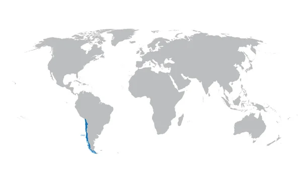
Grey map of the world with indication of Chile
Grey map of the world with indication of Chile — Stock Vector
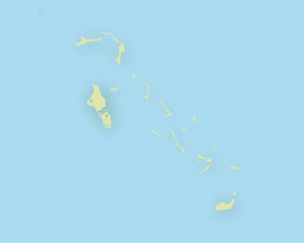
Map of Bahamas with shadow
Map of Bahamas with shadow — Stock Vector
Gray flat blank vector map of the Norwegian regional capital city of LESUND, NORWAY
Gray Flat Blank Vector Map Norwegian Regional Capital City Lesund — Stock Vector
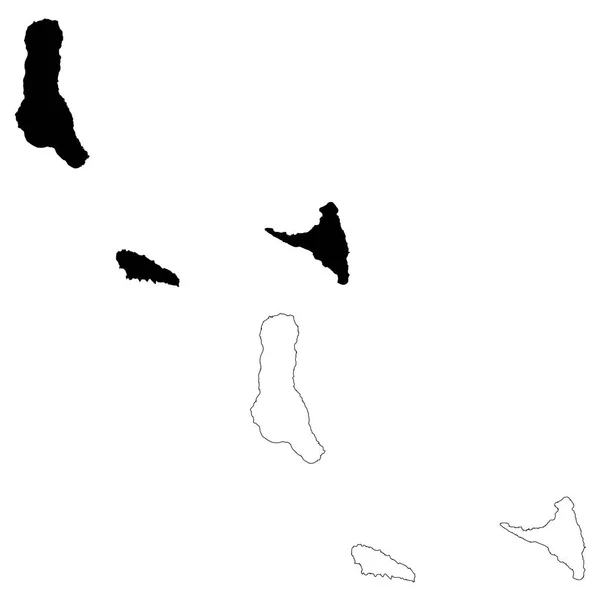
Vector map Comoros. Isolated vector Illustration. Black on White background. EPS 10 Illustration.
Vector Map Comoros Isolated Vector Illustration Black White Background Eps — Stock Vector
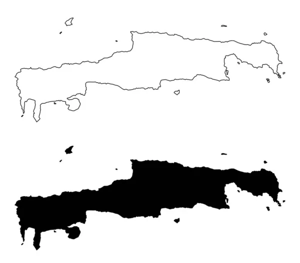
The black and white Crete Island silhouette maps, Greece
Black White Crete Island Silhouette Maps Greece — Stock Vector
3D map on blue water background of PapuaNewGuinea
3D map on blue water background of  PapuaNewGuinea — Stock Vector
Black highlighted location map of the US Hawaii county inside gray map of the Federal State of Hawaii, USA
Black Highlighted Location Map Hawaii County Gray Map Federal State — Stock Vector
Illustrated Country Shape of
Illustrated Country Shape — Stock Vector
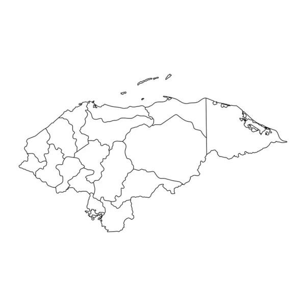
Vector illustration of black outline Honduras map. .
Vector illustration of black outline Honduras map. . — Stock Vector
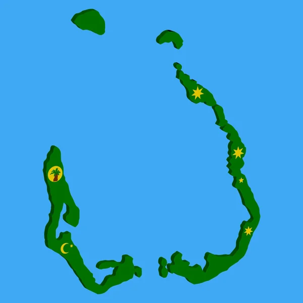
Cocos Islands map flag vector 3D illustration eps 10.
Cocos Islands Map Flag Vector Illustration Eps — Stock Vector
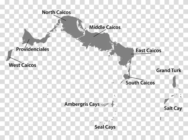
Blank map Turks and Caicos Islands in gray. Every Island map is with titles. High quality map of Turks and Caicos Islands with districts on transparent background for your design. EPS10.
Blank Map Turks Caicos Islands Gray Every Island Map Titles — Stock Vector
The Caribbean Map - Vintage Vector Illustration
The Caribbean Map - Vintage Vector Illustration — Stock Vector
Gray flat blank vector map of the Norwegian regional capital city of STAVANGER, NORWAY
Gray Flat Blank Vector Map Norwegian Regional Capital City Stavanger — Stock Vector
Bermuda map on png or transparent background.Symbol of Bermuda.Vector illustration
Bermuda Map Png Transparent Background Symbol Bermuda Vector Illustration — Stock Vector
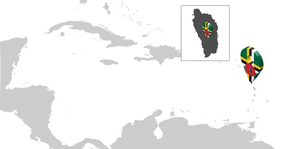
Location Map Dominica on map Central America. 3d Commonwealth of Dominica flag map marker location pin for your web site design, UI. Antilles. Central America. EPS10.
Location Map Dominica Map Central America Commonwealth Dominica Flag Map — Stock Vector
Brunei - detailed country outline and location on world map. Vector illustration
Brunei Detailed Country Outline Location World Map Vector Illustration — Stock Vector
Brunei - detailed country outline and location on world map. Vector illustration
Brunei Detailed Country Outline Location World Map Vector Illustration — Stock Vector
Brunei - detailed country outline and location on world map. Vector illustration
Brunei Detailed Country Outline Location World Map Vector Illustration — Stock Vector
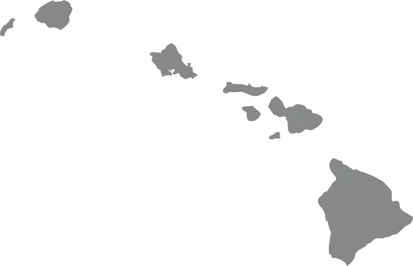
GRAY CMYK color detailed flat map of the federal state of HAWAII, UNITED STATES OF AMERICA on transparent background
Gray Cmyk Color Detailed Flat Map Federal State Hawaii United — Stock Vector
Vector map Dominica. Isolated vector Illustration. Black on White background. EPS 10 Illustration.
Vector Map Dominica Isolated Vector Illustration Black White Background Eps — Stock Vector
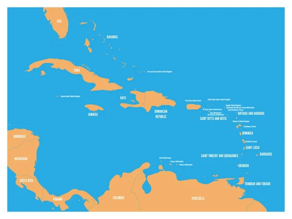
Central America and Carribean states political map. Yellow land with black country names labels on blue sea background. Simple flat vector illustration
Central America and Carribean states political map. Yellow land with black country names labels on blue sea background. Simple flat vector illustration — Stock Vector
Accurate map of Mauritius
Accurate map of Mauritius — Stock Vector
Maui County, Hawaii (U.S. county, United States of America, USA, U.S., US, archipelago) map vector illustration, scribble sketch Maui, Lanai, Molokai and Kahoolawe island map
Maui County Hawaii County United States America Usa Archipelago Map — Stock Vector
Map of Cape Verde with shadow
Map of Cape Verde with shadow — Stock Vector
Gray vector map of the Federal State of Hawaii, USA with white borders of its counties
Gray Vector Map Federal State Hawaii Usa White Borders Its — Stock Vector
Vector map of the Mascarene Islands, Mauritius, Reunion, Rodrigues
Vector Map Mascarene Islands Mauritius Reunion Rodrigues — Stock Vector
Barbados blue marked in the map of Caribbean. Vector illustration
Barbados blue marked in the map of Caribbean. Vector illustration — Stock Vector
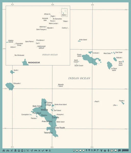
Seychelle Map - Vintage Detailed Vector Illustration
Seychelle Map - Vintage Detailed Vector Illustration — Stock Vector
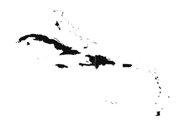
Abstract Caribbean Silhouette Detailed Map
Abstract Caribbean Silhouette Detailed Map — Stock Vector
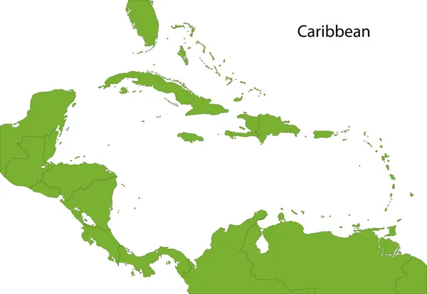
Caribbean map
Caribbean map — Stock Vector
Vietnam map icon, cartoon style
Vietnam map icon, cartoon style — Stock Vector
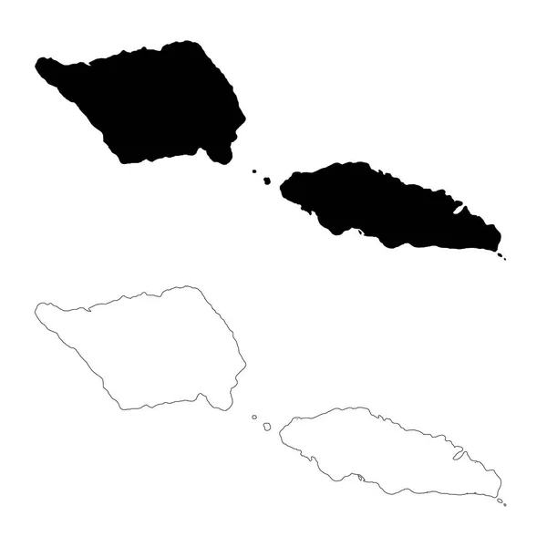
Vector map Samoa. Isolated vector Illustration. Black on White background. EPS 10 Illustration.
Vector Map Samoa Isolated Vector Illustration Black White Background Eps — Stock Vector
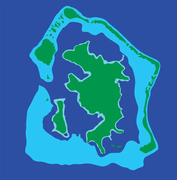
Bora Bora island, vector map isolated on blue background. High detailed silhouette illustration
Bora Bora Island Vector Map Isolated Blue Background High Detailed — Stock Vector
Map of Hawaii
Map of Hawaii — Stock Vector
Hawaii counties map
Hawaii counties map — Stock Vector
Isolated vector Illustration. Black on White background. EPS 10 Illustration
Isolated Vector Illustration Black White Background Eps Illustration — Stock Vector
Accurate map of Tahiti
Accurate map of Tahiti — Stock Vector
Seychelles Map - Vintage Detailed Vector Illustration
Seychelles Map - Vintage Detailed Vector Illustration — Stock Vector
Accurate map of Marche
Accurate map of Marche — Stock Vector
Comoros country thin black outline. High detailed map. Vector illustration isolated on white background.
Comoros Country Thin Black Outline High Detailed Map Vector Illustration — Stock Vector
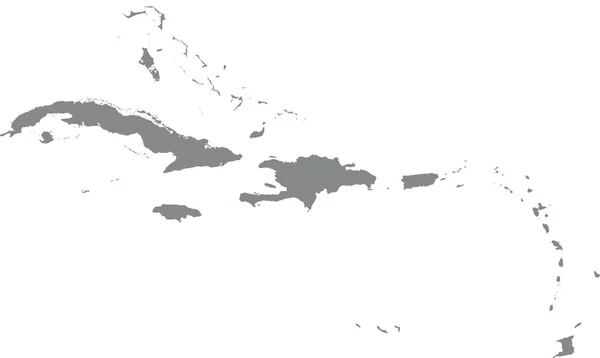
GRAY CMYK color map of CARIBBEAN ISLANDS
Gray Cmyk Color Map Caribbean Islands — Stock Vector
Map of Hawaii with shadow
Map of Hawaii with shadow — Stock Vector
Map of Hawaii state
Map Hawaii State — Stock Vector
Vector illustration on map on atlas
Vector Illustration Map Atlas — Stock Vector
Spain map vector illustration
Spain Map Vector Illustration — Stock Vector
Isolated vector Illustration. Black on White background. EPS 10 Illustration
Isolated Vector Illustration Black White Background Eps Illustration — Stock Vector
Exuma island (Commonwealth of The Bahamas, Cenrtal America, Caribbean islands) map vector illustration, scribble sketch Great Exuma map
Exuma Island Commonwealth Bahamas Cenrtal America Caribbean Islands Map Vector — Stock Vector
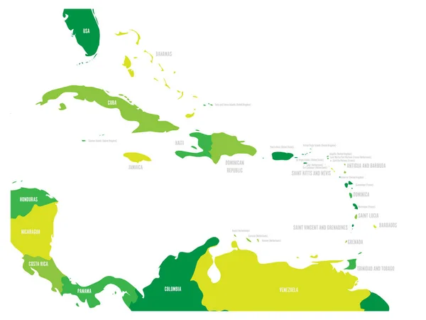
Central America and Caribbean states political map in four shades of green with black country names labels. Simple flat vector illustration
Central America and Caribbean states political map in four shades of green with black country names labels. Simple flat vector illustration — Stock Vector
Central America silhouette map
Central America silhouette map — Stock Vector
3D map on blue water background of Mongolia
3D map on blue water background of  Mongolia — Stock Vector
Isolated vector Illustration. Black on White background. EPS 10 Illustration
Isolated Vector Illustration Black White Background Eps Illustration — Stock Vector
Cape Verde country thin black outline. High detailed map. Vector illustration isolated on white background.
Cape Verde Country Thin Black Outline High Detailed Map Vector — Stock Vector
Map of Samoa with shadow
Map of Samoa with shadow — Stock Vector
Hawaii
Hawaii — Stock Vector
Map of America with highlighted Trinidad and Tobago map
Map of America with highlighted Trinidad and Tobago map — Stock Vector
Map of the Corsica with shadow
Map of the Corsica with shadow — Stock Vector
Map of Caribbean
Map of Caribbean — Stock Vector
Cape Verde Map - Vintage Detailed Vector Illustration
Cape Verde Map - Vintage Detailed Vector Illustration — Stock Vector
Aruba flag map on white background. Outline map of Aruba. Aruba vector map silhouette. flat style.
Aruba Flag Map White Background Outline Map Aruba Aruba Vector — Stock Vector
South America with highlighted Dominica map.
South America with highlighted Dominica map. — Stock Vector
Saint Kitts and Nevis Map. Black silhouette country map isolated on white background. Black outline on white background. Vector file
Saint Kitts Nevis Map Black Silhouette Country Map Isolated White — Stock Vector
Map of Kalawao in Hawaii
Map Kalawao Hawaii — Stock Vector
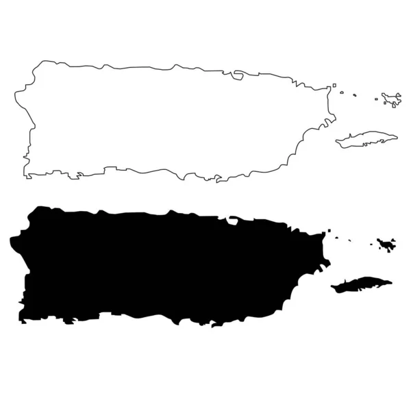
Puerto Rico map on white background. Puerto Rico state sign. Puerto Rico state of USA black outline map symbol. flat style.
Puerto Rico Map White Background Puerto Rico State Sign Puerto — Stock Vector
Black highlighted location map of the US Honolulu county inside gray map of the Federal State of Hawaii, USA
Black Highlighted Location Map Honolulu County Gray Map Federal State — Stock Vector
The Bahamas Map - Vintage Detailed Vector Illustration
The Bahamas Map - Vintage Detailed Vector Illustration — Stock Vector
Vector map Comoros. Isolated vector Illustration. Black on White background. EPS 10 Illustration.
Vector Map Comoros Isolated Vector Illustration Black White Background Eps — Stock Vector
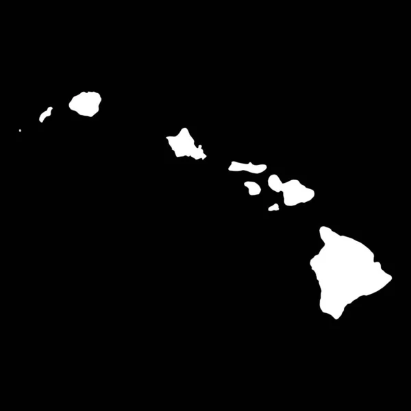
Hawaii map shape, united states of america. Flat concept icon symbol vector illustration .
Hawaii Map Shape United States America Flat Concept Icon Symbol — Stock Vector
Map of Sao Tome and Principe with shadow
Map of Sao Tome and Principe with shadow — Stock Vector
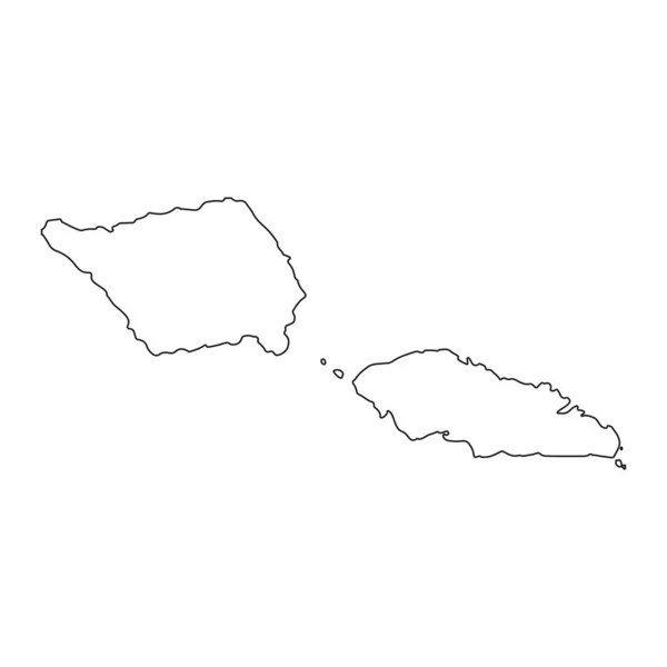
Highly detailed Samoa map with borders isolated on background
Highly Detailed Samoa Map Borders Isolated Background — Stock Vector
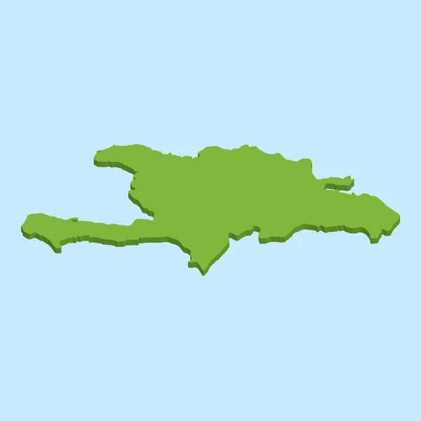
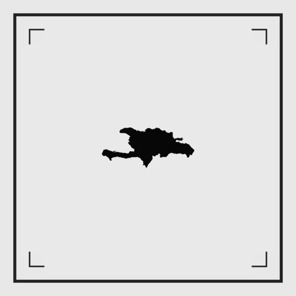
Illustrated Country Shape of Dominican Republic
Illustrated Country Shape of Dominican Republic — Stock Vector
Flat Blue Map of the Caribbean on White Background
Flat Blue Map Caribbean White Background — Stock Vector
High quality map of Brunei with borders of the regions on white backgroun
High Quality Map Brunei Borders Regions White Backgroun — Stock Vector
Vector map Saint Kitts and Nevis. Isolated vector Illustration. Black on White background. EPS 10 Illustration.
Vector Map Saint Kitts Nevis Isolated Vector Illustration Black White — Stock Vector
3D map on blue water background of Russia
3D map on blue water background of  Russia — Stock Vector
Bahamas silhouette map isolated on a pale blue background
Bahamas Silhouette Map Isolated Pale Blue Background — Stock Vector
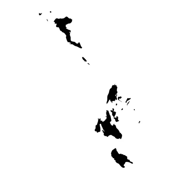
Ionian islands region map, administrative region of Greece. Vector illustration.
Ionian Islands Region Map Administrative Region Greece Vector Illustration — Stock Vector
Ionian islands region map, administrative region of Greece. Vector illustration.
Ionian Islands Region Map Administrative Region Greece Vector Illustration — Stock Vector
Vector map Singapore. Isolated vector Illustration. Black on White background. EPS 10 Illustration.
Vector Map Singapore Isolated Vector Illustration Black White Background Eps — Stock Vector
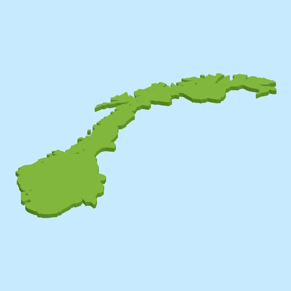
3D map on blue water background of Norway
3D map on blue water background of  Norway — Stock Vector
Cape Verde map
Cape Verde map — Stock Vector
Tonga Flag National Oceania Emblem Map Icon Vector Illustration Abstract Design Element
Tonga Flag National Oceania Emblem Map Icon Vector Illustration Abstract — Stock Vector
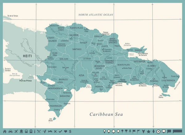
Dominican Republic Map - Vintage Detailed Vector Illustration
Dominican Republic Map - Vintage Detailed Vector Illustration — Stock Vector
Country Shape Illustration of Papua New Guinea
Country Shape Illustration of Papua New Guinea — Stock Vector
Black highlighted location map of the US Kalawao county inside gray map of the Federal State of Hawaii, USA
Black Highlighted Location Map Kalawao County Gray Map Federal State — Stock Vector
Accurate map of Hawaii
Accurate map of Hawaii — Stock Vector
Caribbean map
Caribbean map — Stock Vector

Cayman Islands Map Vector: Essential for Your Next Project

When it comes to designing a website or creating marketing material, the importance of high-quality visuals cannot be overstated. This is especially true when it comes to using a map as a visual aid. That's why we offer a Cayman Islands Map Vector, which is perfect for any type of project.

What is a Cayman Islands Map Vector?

A Cayman Islands Map Vector is a type of graphical representation of the Cayman Islands. It's available in formats such as JPG, AI, and EPS, and can be used in a variety of projects. It shows all the details of the Cayman Islands geography, including cities, towns, beaches, and other landmarks. Because it's in vector format, it can be resized without losing its quality, making it an excellent choice for any project.

Why Use a Cayman Islands Map Vector?

The Cayman Islands Map Vector is essential for any project that requires a map to showcase or provide context to the Cayman Islands. It's perfect for creating marketing materials such as brochures or websites that cater to tourists and visitors. It can also be used to create educational materials, like books or articles, that discuss the Cayman Islands geography in detail.

For any project that requires an accurate and concise representation of the Cayman Islands, the Cayman Islands Map Vector is an excellent choice.

Where to Use a Cayman Islands Map Vector?

With its high-quality resolution and detail, the Cayman Islands Map Vector can be used in a range of different contexts. It's perfect for website design, brochure design, poster design, book covers, and magazine articles. It also works well in presentations, as it can provide the perfect visual aid for those who are not familiar with the Cayman Islands' geography.
By using a Cayman Islands Map Vector, you can make your project more sophisticated and professional, providing a superior user experience and aiding in the overall success of your project.

How to Use a Cayman Islands Map Vector?

When using a Cayman Islands Map Vector, it's essential to take into consideration the project's overall goals and objectives. If you're using the map in a design for tourists, you'll want to highlight certain landmarks and tourist attractions. In contrast, those crafting educational materials may focus on the geography of the Cayman Islands.

It's important to use the Cayman Islands Map Vector in a way that's clear and easy to understand for all users. Therefore, attention to detail is crucial. Ensure that the vector is scaled appropriately to the project's size, and don't overcrowd the map with too much information or text.
Overall, by using a Cayman Islands Map Vector in your next project, you can ensure success and provide a professional finish to your design project.

Conclusion

Choosing the right visual for various online and offline projects can be a challenge, but by selecting the right visual aid, like the Cayman Islands Map Vector, you can guarantee project success. With its adaptability and detail, it's an excellent option for anyone creating designs, brochures, presentations, or other marketing materials showcasing the Cayman Islands. It's also perfect for teachers or writers creating educational materials.

In summary, with the Cayman Islands Map Vector, you don't just beautify your design project but also make it clearer and more informative, making it an ideal choice for any creator.