Gran canaria map Stock Vector Images

100,000 Gran canaria map vector art & graphics are available under a royalty-free license

  • Best Match
  • Fresh
  • Popular
1-100 of 100,000
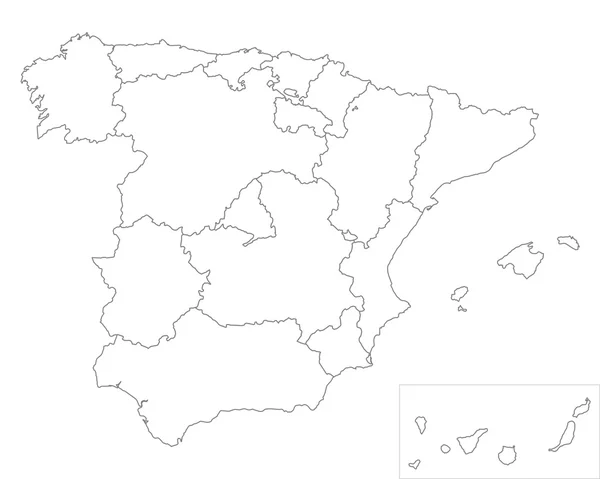
Spain and autonomies
Spain and autonomies — Stock Vector
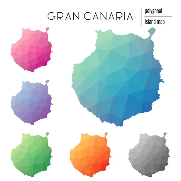
Set of vector polygonal Gran Canaria maps filled with bright gradient of low poly art.
Set of vector polygonal Gran Canaria maps filled with bright gradient of low poly art. — Stock Vector
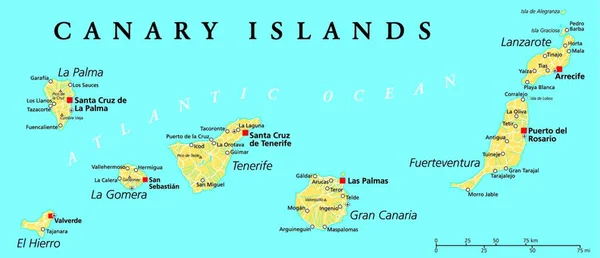
Canary Islands Political Map with Lanzarote, Fuerteventura, Gran Canaria, Tenerife, La Gomera, La Palma and El Hierro. English labeling and scaling. Illustration.
Canary Islands Political Map Lanzarote Fuerteventura Gran Canaria Tenerife Gomera — Stock Vector
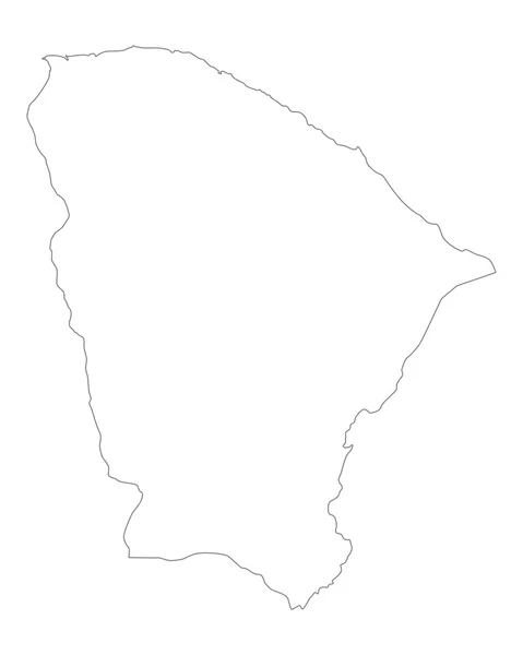
Accurate map of Ceara
Accurate map of Ceara — Stock Vector
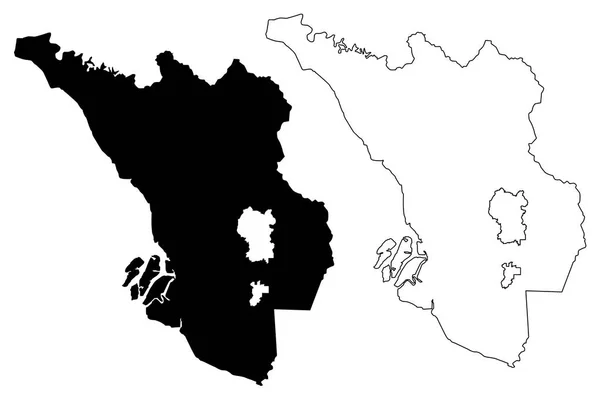
Selangor (States and federal territories of Malaysia, Federation of Malaysia) map vector illustration, scribble sketch Selangor Darul Ehsan map
Selangor States Federal Territories Malaysia Federation Malaysia Map Vector Illustration — Stock Vector
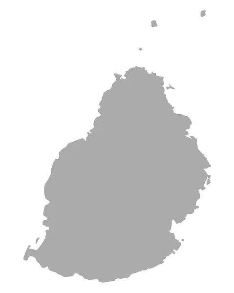
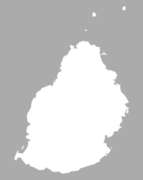
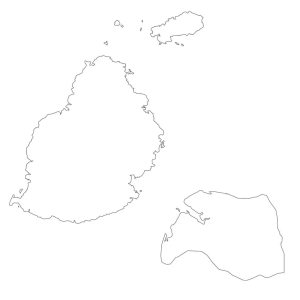
Accurate map of Mauritius
Accurate map of Mauritius — Stock Vector
Accurate map of Mauritius
Accurate map of Mauritius — Stock Vector
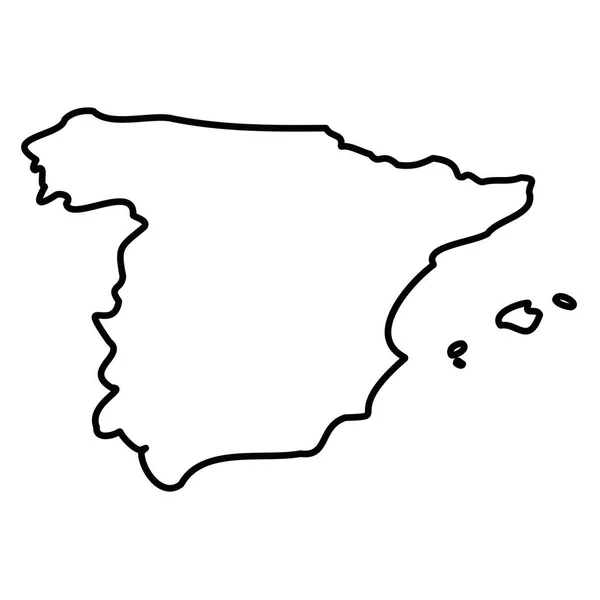
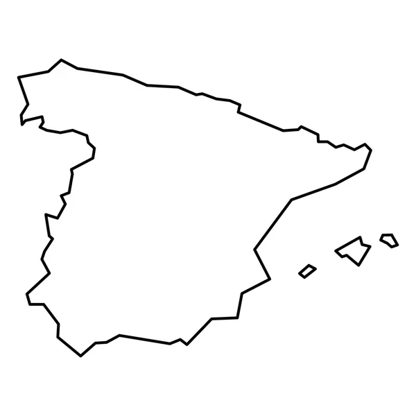
Spain - solid black outline border map of country area. Simple flat vector illustration
Spain - solid black outline border map of country area. Simple flat vector illustration — Stock Vector
Canarias Spain map black inverted silhouette illustration
Canarias Spain map black inverted silhouette illustration — Stock Vector
Saint Barthelemy map
Saint Barthelemy map — Stock Vector
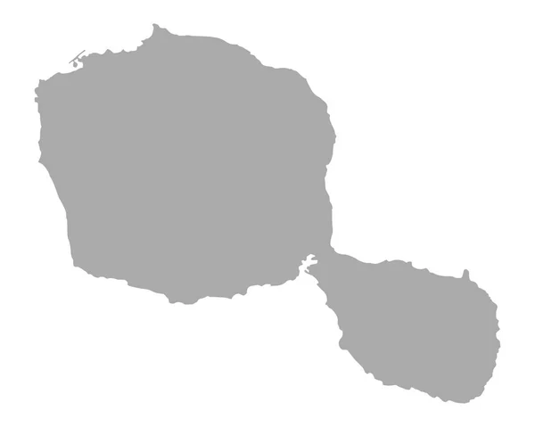
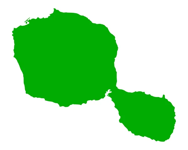
Accurate map of Tahiti
Accurate map of Tahiti — Stock Vector
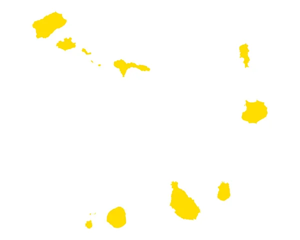
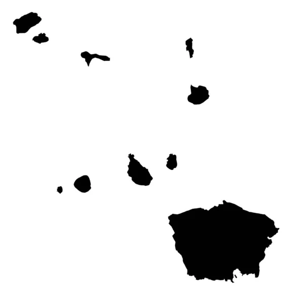
Map of Cape Verde
Map of Cape Verde — Stock Vector
Spildra island (Kingdom of Norway) map vector illustration, scribble sketch Spitta map
Spildra Island Kingdom Norway Map Vector Illustration Scribble Sketch Spitta — Stock Vector
Accurate map of Tahiti
Accurate map of Tahiti — Stock Vector
Sharqia Governorate map, administrative division of Egypt. Vector illustration.
Sharqia Governorate Map Administrative Division Egypt Vector Illustration — Stock Vector
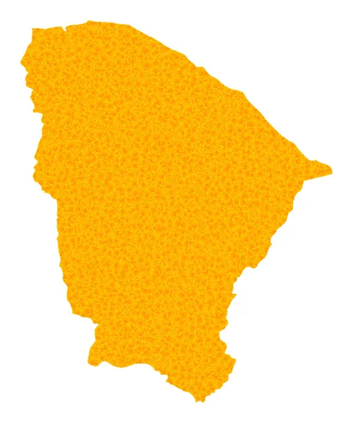
Gold Vector Map of Ceara State
Gold Vector Map of Ceara State — Stock Vector
Akita Japan map icon
Akita Japan map icon — Stock Vector
Gold Vector Map of Santorini Island
Gold Vector Map of Santorini Island — Stock Vector
Simple outline map of Ceara is a state of Brazil. Stylized minimal line design
Simple Outline Map Ceara State Brazil Stylized Minimal Line Design — Stock Vector
Map of Cape Verde with shadow
Map of Cape Verde with shadow — Stock Vector
Set Map of Spain icon isolated on black and white background. Vector.
Set Map Spain Icon Isolated Black White Background Vector — Stock Vector
Gold Vector Map of Isle of Wight
Gold Vector Map of Isle of Wight — Stock Vector
Fuzuli district map, administrative division of Azerbaijan.
Fuzuli District Map Administrative Division Azerbaijan — Stock Vector
Fatu Huku island (France, French Republic, Pacific Ocean, Marquesas Islands Archipelago, French Polynesia) map vector illustration, scribble sketch Fatu Uku map
Fatu Huku Island France French Republic Pacific Ocean Marquesas Islands — Stock Vector
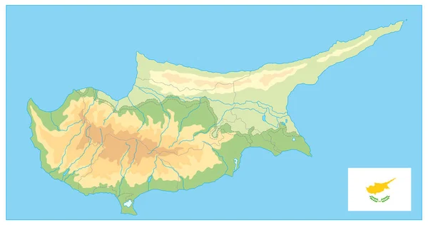
Cyprus Physical Map. No text. Detail relief vector blank map of Cyprus.
Cyprus Physical Map Text Detail Relief Vector Blank Map Cyprus — Stock Vector
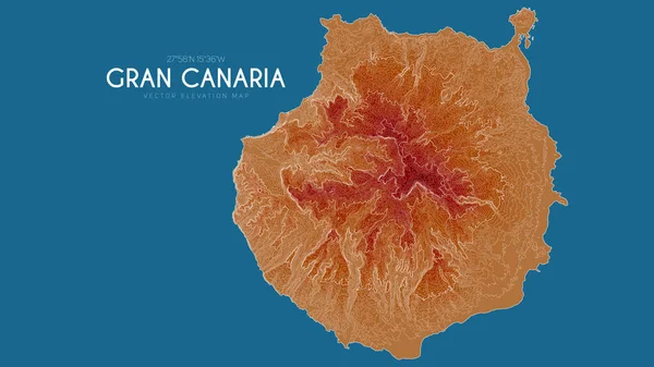
Topographic map of Gran Canaria, Canary Islands, Spain. Vector detailed elevation map of island. Geographic elegant landscape outline poster.
Topographic map of Gran Canaria, Canary Islands, Spain. Vector detailed elevation map of island. Geographic elegant landscape outline poster. — Stock Vector
Lautem Municipality (Municipalities of East Timor, Democratic Republic of Timor-Leste, island) map vector illustration, scribble sketch Lautem map
Lautem Municipality (Municipalities of East Timor, Democratic Republic of Timor-Leste, island) map vector illustration, scribble sketch Lautem map — Stock Vector
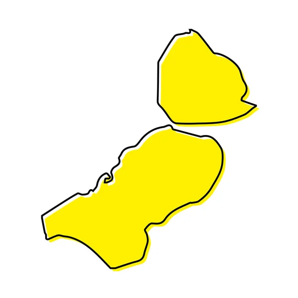
Simple outline map of Zeeland is a province of Netherlands. Stylized minimal line design
Simple Outline Map Zeeland Province Netherlands Stylized Minimal Line Design — Stock Vector
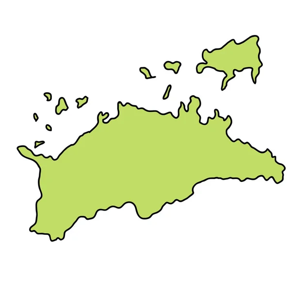
Kagawa Prefecture Map frame icon
Kagawa Prefecture Map frame icon — Stock Vector
Map of Spain
Map of Spain — Stock Vector
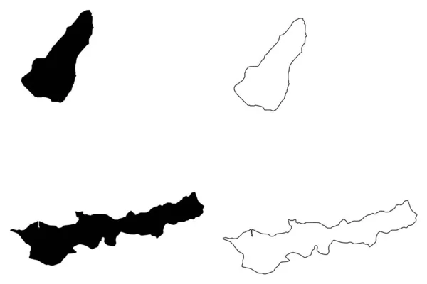
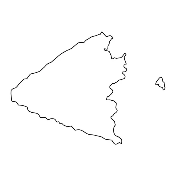
Dili Municipality (Municipalities of East Timor, Democratic Republic of Timor-Leste, island) map vector illustration, scribble sketch Atauro Island map
Dili Municipality (Municipalities of East Timor, Democratic Republic of Timor-Leste, island) map vector illustration, scribble sketch Atauro Island map — Stock Vector
Isolated vector Illustration. Black on White background. EPS 10 Illustration
Isolated Vector Illustration Black White Background Eps Illustration — Stock Vector
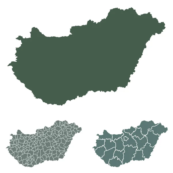
Hungary map outline vector with administrative borders, regions, municipalities, departments in black white colors. Infographic design template map
Hungary Map Outline Vector Administrative Borders Regions Municipalities Departments Black — Stock Vector
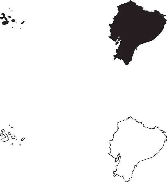
Ecuador Map. Black silhouette country map isolated on white background. Black outline on white background. Vector file
Ecuador Map Black Silhouette Country Map Isolated White Background Black — Stock Vector
Simple outline map of Flevoland is a province of Netherlands. Stylized minimal line design
Simple Outline Map Flevoland Province Netherlands Stylized Minimal Line Design — Stock Vector
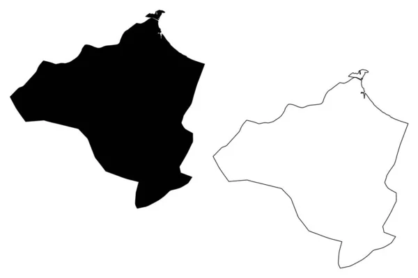
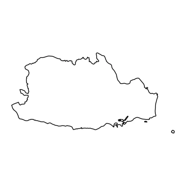
Ben Arous Governorate (Governorates of Tunisia, Republic of Tunisia) map vector illustration, scribble sketch Ben Arous map
Ben Arous Governorate (Governorates of Tunisia, Republic of Tunisia) map vector illustration, scribble sketch Ben Arous map — Stock Vector
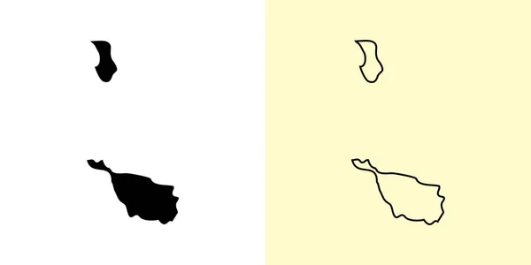
Bremen map, Germany, Europe. Filled and outline map designs. Vector illustration
Bremen Map Germany Europe Filled Outline Map Designs Vector Illustration — Stock Vector
White Map of Spanish Autonomous Communities
White Map Spanish Autonomous Communities — Stock Vector
High detailed Outline of the country of Spain
High detailed Outline of the country of  Spain — Stock Vector
Steung Treng Province (Kingdom of Cambodia, Kampuchea, Provinces of Cambodia) map vector illustration, scribble sketch Stung Treng map
Steung Treng Province (Kingdom of Cambodia, Kampuchea, Provinces of Cambodia) map vector illustration, scribble sketch Stung Treng map — Stock Vector
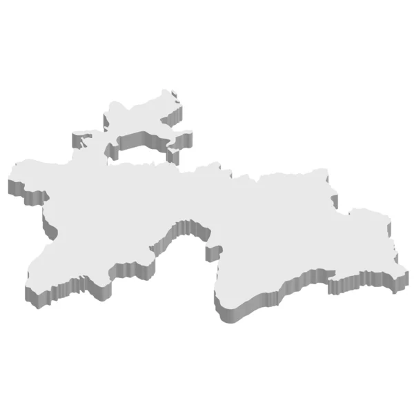
3D map on blue water background of Tajikistan
3D map on blue water background of  Tajikistan — Stock Vector
Spain map vector illustration
Spain Map Vector Illustration — Stock Vector
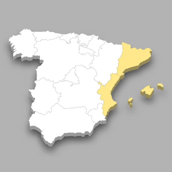
East region location within Spain 3d isometric map
East Region Location Spain Isometric Map — Stock Vector
Golden Vector Map of Sardinia Region
Golden Vector Map of Sardinia Region — Stock Vector
Black contour map of Spain
Black contour map of Spain — Stock Vector
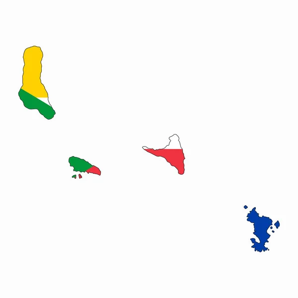
Comoros flag simple illustration for independence day or election
Comoros Flag Simple Illustration Independence Day Election — Stock Vector
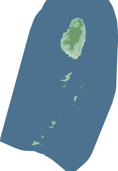
Saint Vincent and the Grenadines map, Caribbean island country. Detailed map with administrative border, buildings, sea and forests, cities and roads.
Saint Vincent Grenadines Map Caribbean Island Country Detailed Map Administrative — Stock Vector
Canakkale province map, administrative divisions of Turkey. Vector illustration.
Canakkale Province Map Administrative Divisions Turkey Vector Illustration — Stock Vector
Barbados Caribbean island silhouette map isolated on a white background
Barbados Caribbean Island Silhouette Map Isolated White Background — Stock Vector
Yalova (Provinces of the Republic of Turkey) map vector illustration, scribble sketch Yalova ili map
Yalova Provinces Republic Turkey Map Vector Illustration Scribble Sketch Yalova — Stock Vector
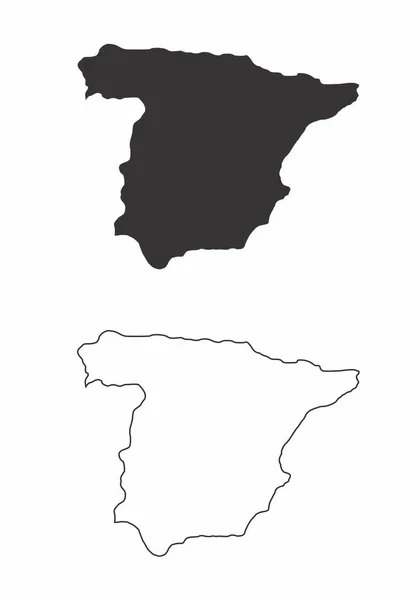
Simplified maps of Spain. Black and white outlines.
Simplified Maps Spain Black White Outlines — Stock Vector
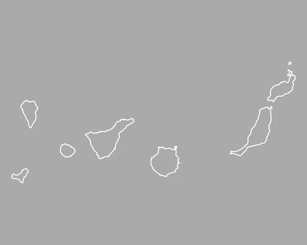
Map of Canary Islands
Map of Canary Islands — Stock Vector
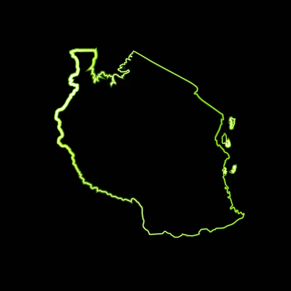
Vector outline map of Tanzania with neon effect.
Vector Outline Map Tanzania Neon Effect — Stock Vector
Alhucemas Islands (Kingdom of Spain, Mediterranean Sea) map vector illustration, scribble sketch Penon de Alhucemas, Isla de Tierra and de Mar map
Alhucemas Islands Kingdom Spain Mediterranean Sea Map Vector Illustration Scribble — Stock Vector
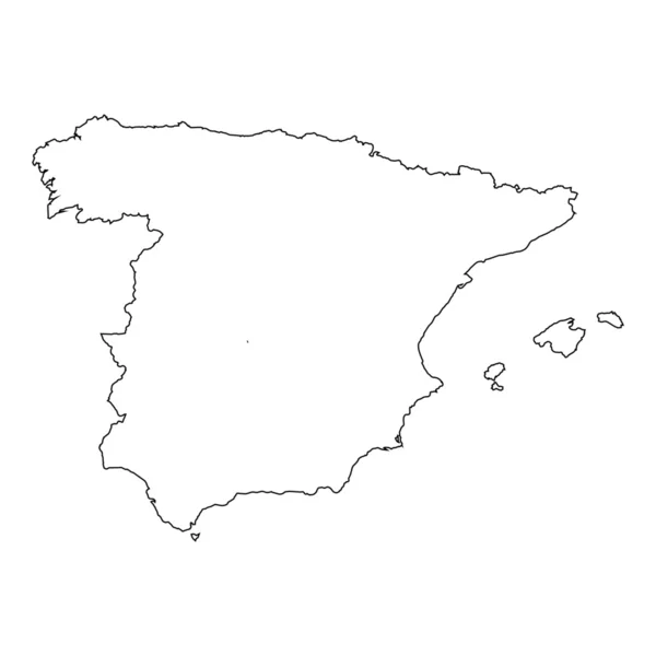
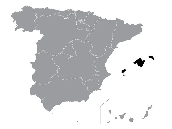
Black Location Map of Spanish Autonomous Community of Balearic Islands within Grey Map of Spain
Black Location Map Spanish Autonomous Community Balearic Islands Grey Map — Stock Vector
Gold Vector Map of Bora-Bora
Gold Vector Map of Bora-Bora — Stock Vector
Vale of Glamorgan map, district of Wales. Vector illustration.
Vale Glamorgan Map District Wales Vector Illustration — Stock Vector
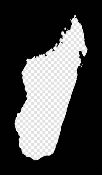
Stencil map of Madagascar Simple and minimal transparent map of Madagascar Black rectangle with
Stencil map of Madagascar Simple and minimal transparent map of Madagascar Black rectangle with — Stock Vector
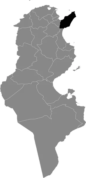
Black highlighted location map of the Tunisian Gafsa governorate inside gray map of the Tunisian Republic
Black Highlighted Location Map Tunisian Gafsa Governorate Gray Map Tunisian — Stock Vector
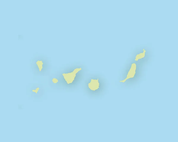
Map of the Canary Islands with shadow
Map of the Canary Islands with shadow — Stock Vector
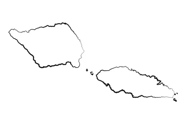
Hand Drawn Lined Samoa Simple Map Drawing
Hand Drawn Lined Samoa Simple Map Drawing — Stock Vector
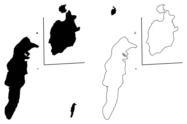
Archipelago of San Andres, Providencia and Santa Catalina (Colombia, Republic of Colombia, Departments of Colombia) map vector illustration, scribble sketch San Andres y Providencia map
Archipelago San Andres Providencia Santa Catalina Colombia Republic Colombia Departments — Stock Vector
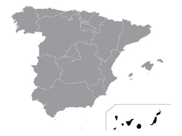
Black Location Map of Spanish Autonomous Community of Canary Islands within Grey Map of Spain
Black Location Map Spanish Autonomous Community Canary Islands Grey Map — Stock Vector
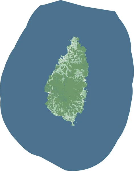
Saint Lucia map, Caribbean island country. Detailed map with administrative border, buildings, sea and forests, cities and roads.
Saint Lucia Map Caribbean Island Country Detailed Map Administrative Border — Stock Vector
Isolated vector Illustration. Black on White background. EPS 10 Illustration
Isolated Vector Illustration Black White Background Eps Illustration — Stock Vector
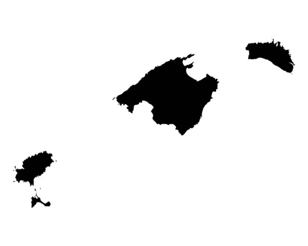
Map of Balearic Islands
Map of Balearic Islands — Stock Vector
Golden Vector Map of Madagascar Island
Golden Vector Map of Madagascar Island — Stock Vector
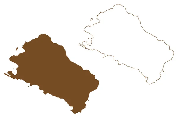
Sao Vicente municipality (Republic of Cabo Verde, concelhos, Cape Verde, island, archipelago) map vector illustration, scribble sketch Sao Vicente, Santa Luzia, Ilheu Raso and Branco map
Sao Vicente Municipality Republic Cabo Verde Concelhos Cape Verde Island — Stock Vector
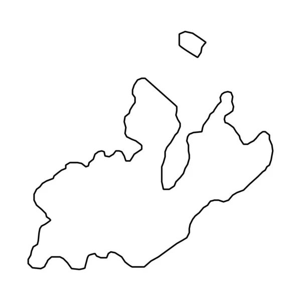
Geneva map, Cantons of Switzerland. Vector illustration.
Geneva Map Cantons Switzerland Vector Illustration — Stock Vector
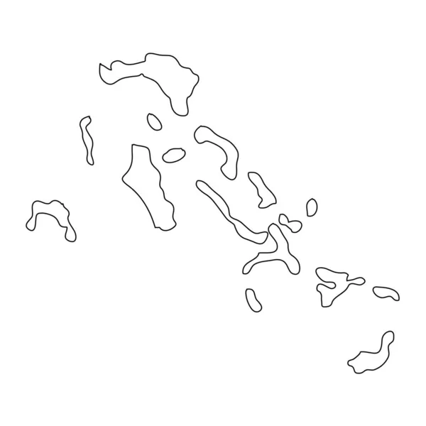
Highly detailed Bahamas map with borders isolated on background
Highly Detailed Bahamas Map Borders Isolated Background — Stock Vector
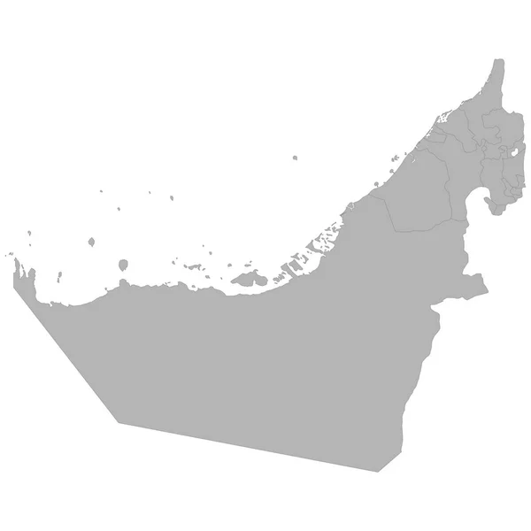
High quality map of United Arab Emirates with borders of the regions on white backgroun
High Quality Map United Arab Emirates Borders Regions White Backgroun — Stock Vector
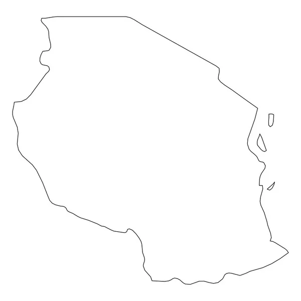
Tanzania - solid black outline border map of country area. Simple flat vector illustration
Tanzania - solid black outline border map of country area. Simple flat vector illustration — Stock Vector
Zonguldak (Provinces of the Republic of Turkey) map vector illustration, scribble sketch Zonguldak ili map
Zonguldak Provinces Republic Turkey Map Vector Illustration Scribble Sketch Zonguldak — Stock Vector
Map of Canary Islands
Map of Canary Islands — Stock Vector
Quba district map, administrative division of Azerbaijan.
Quba District Map Administrative Division Azerbaijan — Stock Vector
Tajikistan
Tajikistan — Stock Vector
Kagawa Map frame icon
Kagawa Map Frame Icon — Stock Vector
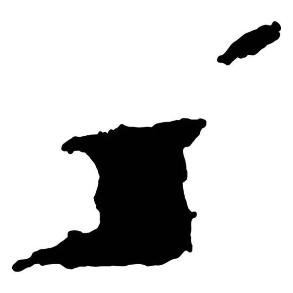
Trinidad and Tobago Map Black Silhouette, Vector
Trinidad and Tobago Map Black Silhouette, Vector — Stock Vector
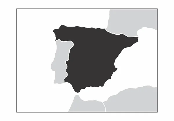
The dark silhouette of Spain map in the european continent
Dark Silhouette Spain Map European Continent — Stock Vector
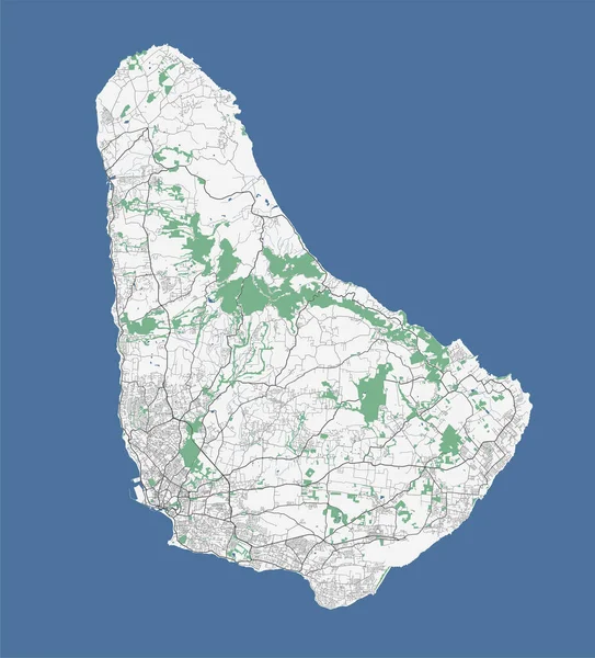
Barbados map, Caribbean island illustration
Barbados Map Caribbean Island Illustration — Stock Vector
Ecuador country thin black outline. High detailed map. Vector illustration isolated on white background.
Ecuador Country Thin Black Outline High Detailed Map Vector Illustration — Stock Vector
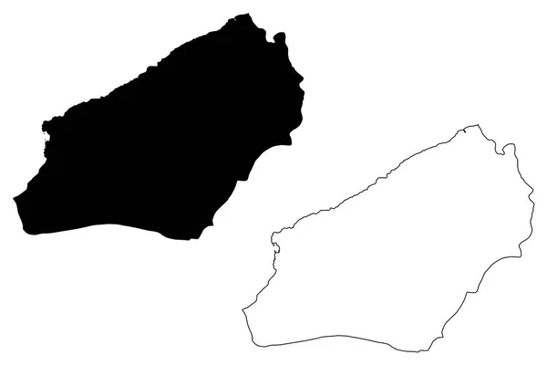
Alborz Province (Provinces of Iran, Islamic Republic of Iran, Persia) map vector illustration, scribble sketch Alborz map
Alborz Province Provinces Iran Islamic Republic Iran Persia Map Vector — Stock Vector
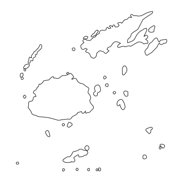
Highly detailed Fiji map with borders isolated on background
Highly Detailed Fiji Map Borders Isolated Background — Stock Vector
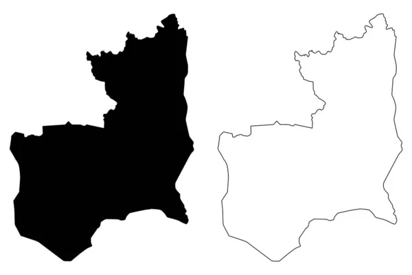
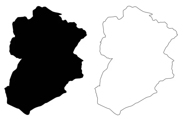
Kasserine Governorate (Governorates of Tunisia, Republic of Tunisia) map vector illustration, scribble sketch Kasserine map
Kasserine Governorate (Governorates of Tunisia, Republic of Tunisia) map vector illustration, scribble sketch Kasserine map — Stock Vector
Isolated vector Illustration. Black on White background. EPS 10 Illustration
Isolated Vector Illustration Black White Background Eps Illustration — Stock Vector
Map of Lake Chiemsee
Map of Lake Chiemsee — Stock Vector
Yemen - solid black outline border map of country area. Simple flat vector illustration
Yemen - solid black outline border map of country area. Simple flat vector illustration — Stock Vector
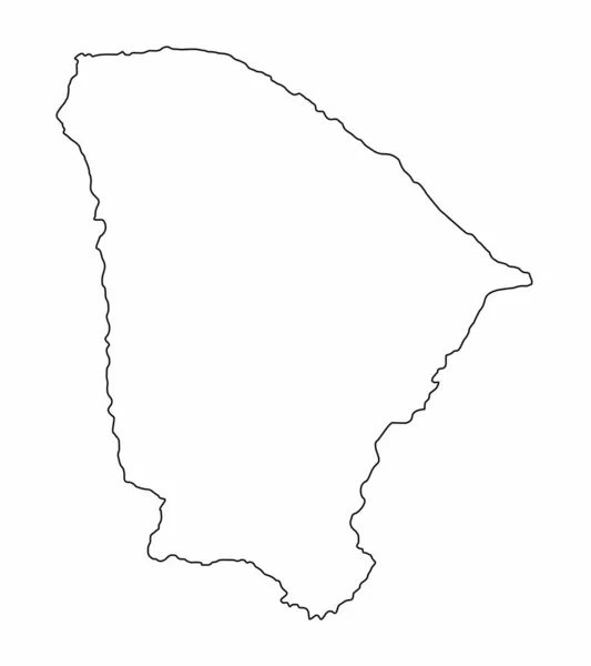
Ceara State outline map isolated on white background, Brazil
Ceara State Outline Map Isolated White Background Brazil — Stock Vector
Oman - solid black outline border map of country area. Simple flat vector illustration
Oman - solid black outline border map of country area. Simple flat vector illustration — Stock Vector
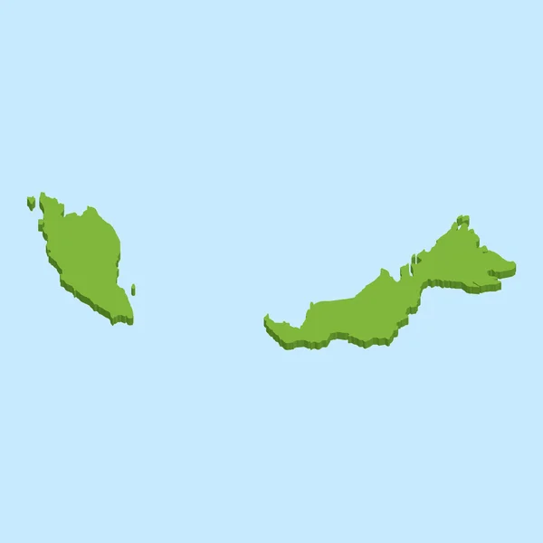
3D map on blue water background of Malaysia
3D map on blue water background of  Malaysia — Stock Vector
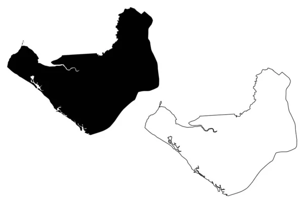
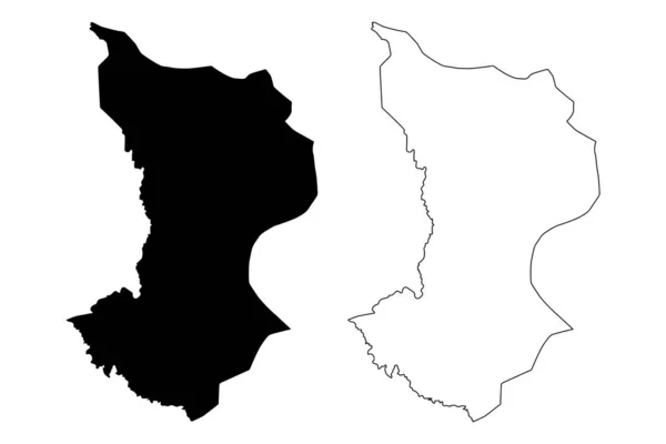
Chinandega Department (Republic of Nicaragua, Departments of Nicaragua) map vector illustration, scribble sketch Chinandega (NI-CI) ma
Chinandega Department (Republic of Nicaragua, Departments of Nicaragua) map vector illustration, scribble sketch Chinandega (NI-CI) ma — Stock Vector
Map of El Hierro
Map of El Hierro — Stock Vector
Map of Balearic Islands
Map Balearic Islands — Stock Vector
Dajabon Province (Dominican Republic, Hispaniola, Provinces of the Dominican Republic) map vector illustration, scribble sketch Dajabon ma
Dajabon Province (Dominican Republic, Hispaniola, Provinces of the Dominican Republic) map vector illustration, scribble sketch Dajabon ma — Stock Vector
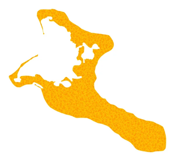
Gold Vector Map of Kiribati Island
Gold Vector Map of Kiribati Island — Stock Vector
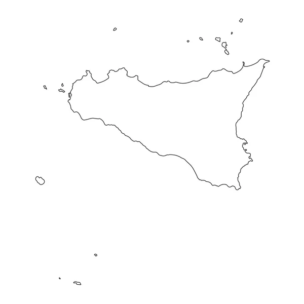
Black outline of Sicily Region in Italy
Black outline of Sicily Region in Italy — Stock Vector
Stencil map of Malapascua Island. Simple and minimal transparent map of Malapascua Island. Black rectangle with cut shape of the island. Creative vector illustration.
Stencil Map Malapascua Island Simple Minimal Transparent Map Malapascua Island — Stock Vector
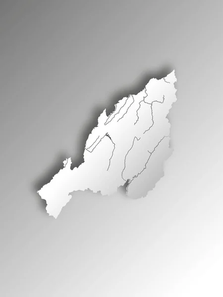
India states - map of Nagaland with paper cut effect. Rivers and lakes are shown. Please look at my other images of cartographic series - they are all very detailed and carefully drawn by hand WITH RIVERS AND LAKES.
India States Map Nagaland Paper Cut Effect Rivers Lakes Shown — Stock Vector
Watercolor black and white backgrounds. .Abstract isolated monochrome vector watercolor stain. Grunge element for paper designWatercolor splash.
Watercolor Black White Backgrounds Abstract Isolated Monochrome Vector Watercolor Stain — Stock Vector
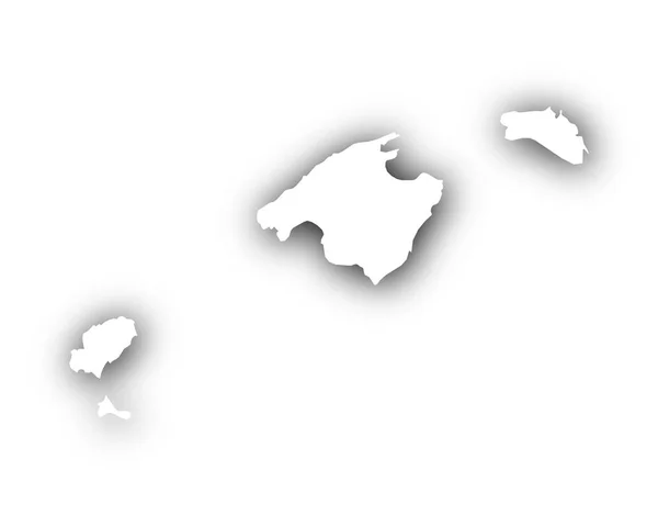
Map of the Balearic Islands with shadow
Map of the Balearic Islands with shadow — Stock Vector

Get Accurate Gran Canaria Map Vector Images

If you need a top-quality Gran Canaria map vector image, you're in the right place! Our collection of vector images offers various types of Gran Canaria maps that come in AI, EPS, and JPG file formats. This vector image collection is perfect for designers, marketers, and business owners looking to enhance their projects with accurate and visually appealing Gran Canaria map vector images.

The Benefits of Using Vector Images

Vector images are ideal for different projects because they can be scaled to any size without losing resolution. You can use them to create logos, brochures, t-shirts, and more. Compared to raster images, vector images are smaller in file size and easier to edit. With vector images, you can easily change colors, shapes, and sizes without affecting the quality of the image.

If you're looking for Gran Canaria map vector images, the vector format will allow you to customize your images without losing quality. You can use the Gran Canaria map vector images as they are or alter them to fit your specific needs.

Types of Gran Canaria Map Vector Images

Our Gran Canaria map vector images collection offers different types of maps to suit your needs. You can find maps that show the city of Las Palmas or the entire island of Gran Canaria. You can also find different color-coded region maps that show the different municipalities in Gran Canaria. The maps come in different styles, including 3D, flat, and topographic versions, making it easy to choose the right map for your project.

We also offer Gran Canaria map vector images that show specific tourist attractions and landmarks. These maps make it easy for you to create brochures, posters, and other marketing materials that highlight the island's main attractions.

How to Use Gran Canaria Map Vector Images

When using Gran Canaria map vector images in your projects, it's essential to choose the right image that aligns with your project's overall tone and theme. If you're creating marketing materials, consider choosing an image that prominently displays the map and its key features. If you're designing a brochure, consider using a 3D map to draw attention to your content.

Remember to use the right file format when using the image in your project. If you need to resize or edit the image, use the vector format in AI or EPS for flexibility. If you need to use the image on a website or in a presentation, consider using the JPG format for faster loading speeds.

Get Started with Gran Canaria Map Vector Images

If you're looking for Gran Canaria map vector images for your next project, browse our collection today. With different map styles, color schemes, and sizes, you're sure to find the perfect image that fits your needs. Additionally, our collection is affordable, making it easy for you to get a professional-quality Gran Canaria map vector image that will make your project stand out.