Pacific islands map Stock Vector Images

100,000 Pacific islands map vector art & graphics are available under a royalty-free license

  • Best Match
  • Fresh
  • Popular
1-100 of 100,000
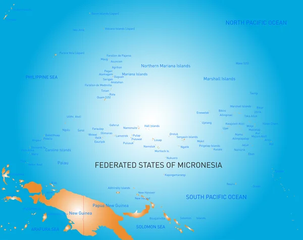
Micronesia
Micronesia — Stock Vector
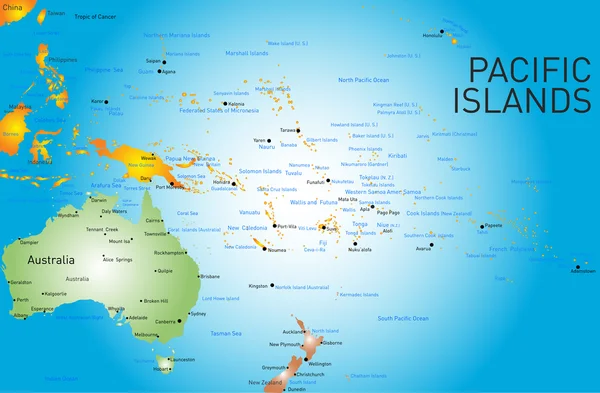
Pacific islands map
Pacific islands map — Stock Vector
Australia and New Zealand, South Pole, Antarctica, Global World
Australia and New Zealand, South Pole, Antarctica, Global World — Stock Vector
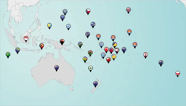
Pinned countries flags on map of Oceania
Pinned countries flags on map of Oceania — Stock Vector
Asia and Australia, Global World
Asia and Australia, Global World — Stock Vector
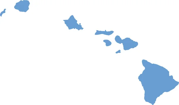
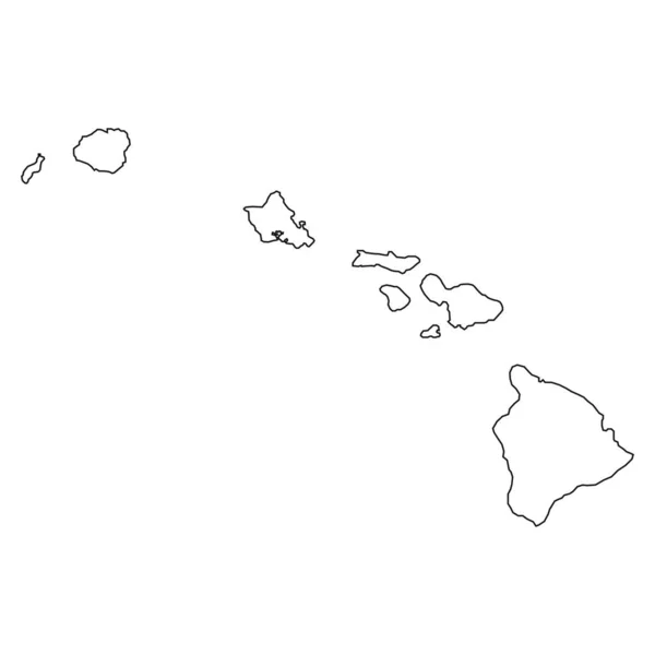
Hawaii counties map
Hawaii counties map — Stock Vector
Barbados blue marked in the map of Caribbean. Vector illustration
Barbados blue marked in the map of Caribbean. Vector illustration — Stock Vector
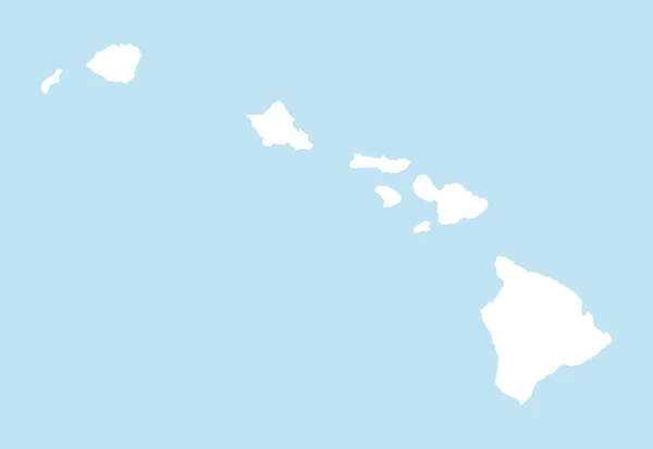
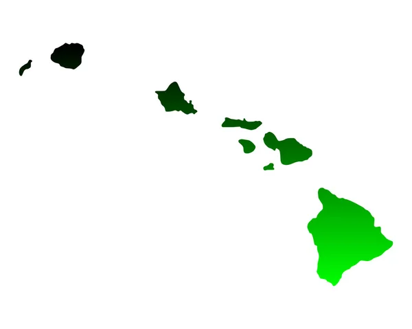
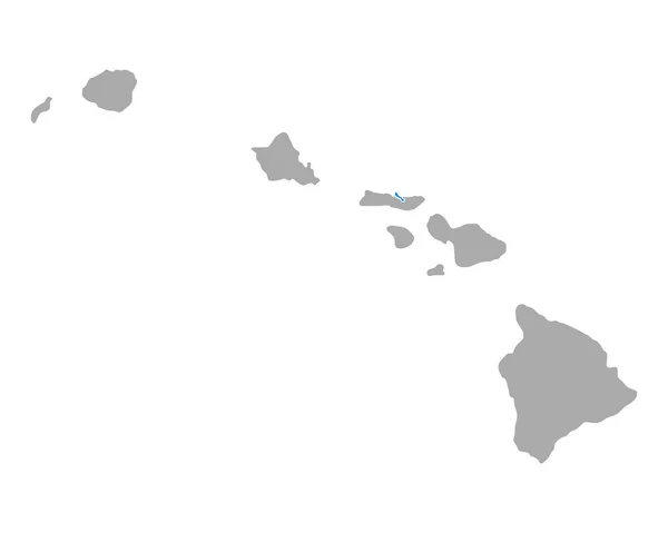
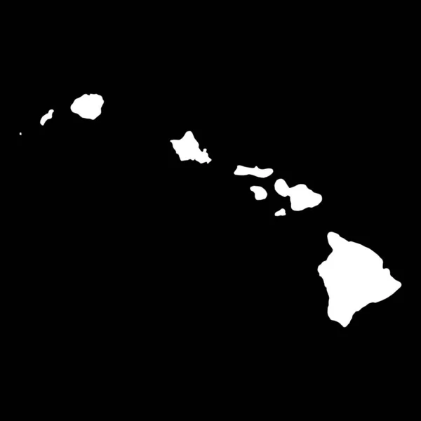
Map of Hawaii
Map of Hawaii — Stock Vector
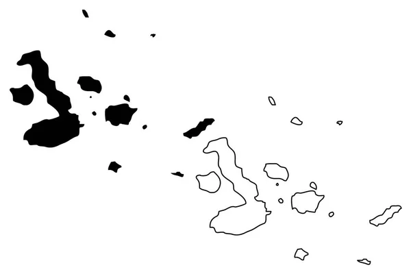
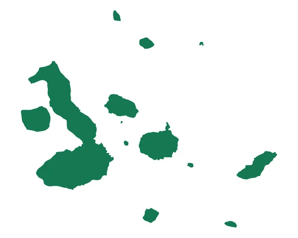
Galapagos islands map vector
Galapagos islands map vector — Stock Vector
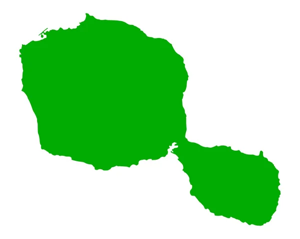
Accurate map of Tahiti
Accurate map of Tahiti — Stock Vector
Hawaii
Hawaii — Stock Vector
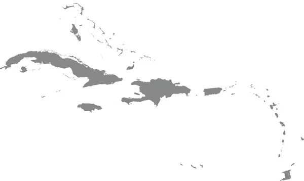
GRAY CMYK color map of CARIBBEAN ISLANDS
Gray Cmyk Color Map Caribbean Islands — Stock Vector
Vanuatu map detailed, islands and city with names, classic maps design vector
Vanuatu Map Detailed Islands City Names Classic Maps Design Vector — Stock Vector
3D map on blue water background of PapuaNewGuinea
3D map on blue water background of  PapuaNewGuinea — Stock Vector
Map of Hawaii state
Map Hawaii State — Stock Vector
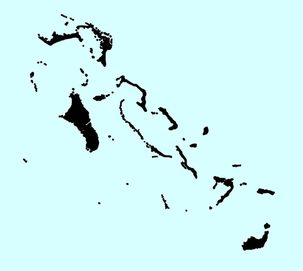
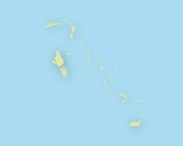
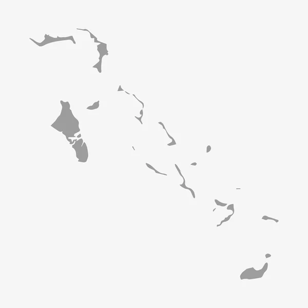
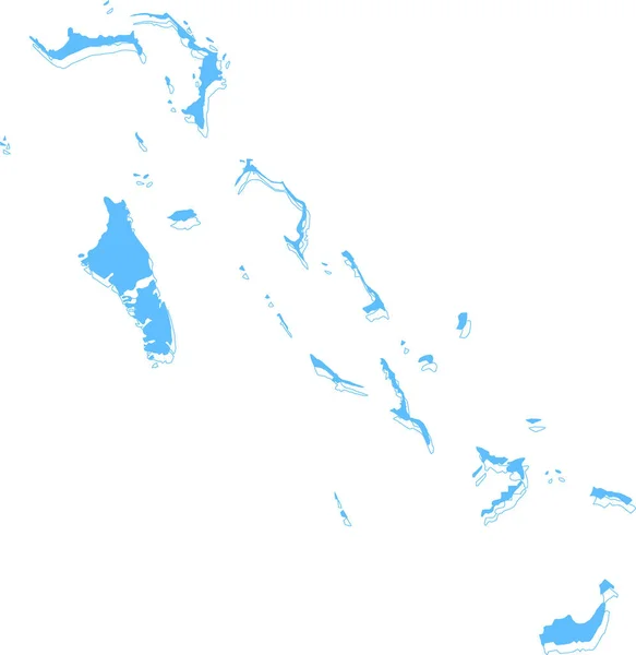
Bahamas silhouette map isolated on a pale blue background
Bahamas Silhouette Map Isolated Pale Blue Background — Stock Vector
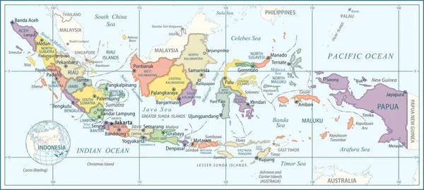
Map of Indonesia - Highly Detailed Vector illustration
Map Indonesia Highly Detailed Vector Illustration — Stock Vector
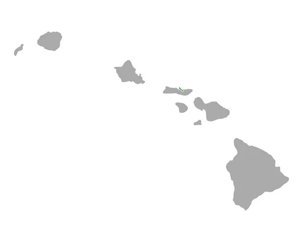
Map of Kalawao in Hawaii
Map Kalawao Hawaii — Stock Vector
Gray flat blank vector map of the Norwegian regional capital city of STAVANGER, NORWAY
Gray Flat Blank Vector Map Norwegian Regional Capital City Stavanger — Stock Vector
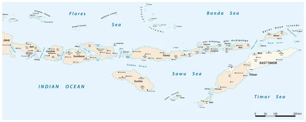
Vector map of Lesser Sunda Islands, Indonesia East Timor
Vector Map Lesser Sunda Islands Indonesia East Timor — Stock Vector
Map of Hawaii
Map of Hawaii — Stock Vector
Black highlighted location map of the US Hawaii county inside gray map of the Federal State of Hawaii, USA
Black Highlighted Location Map Hawaii County Gray Map Federal State — Stock Vector
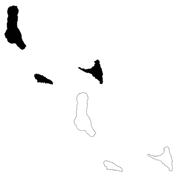
Vector map Comoros. Isolated vector Illustration. Black on White background. EPS 10 Illustration.
Vector Map Comoros Isolated Vector Illustration Black White Background Eps — Stock Vector
Map of Hawaii
Map of Hawaii — Stock Vector
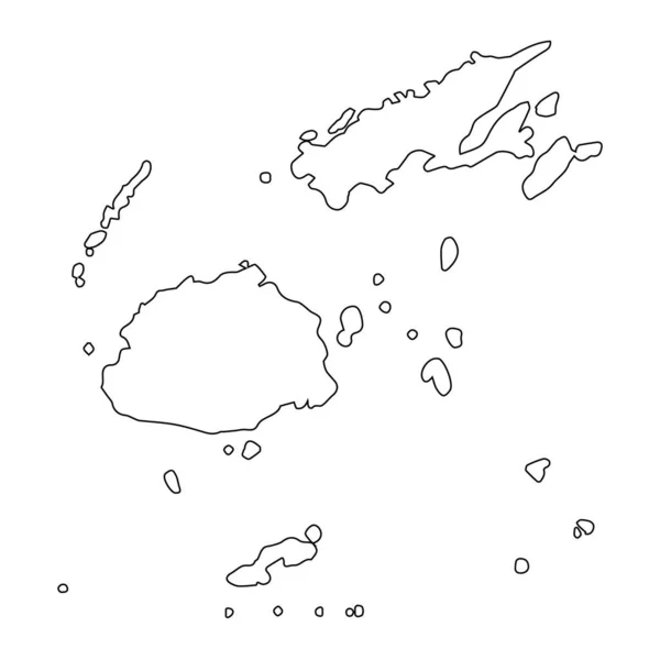
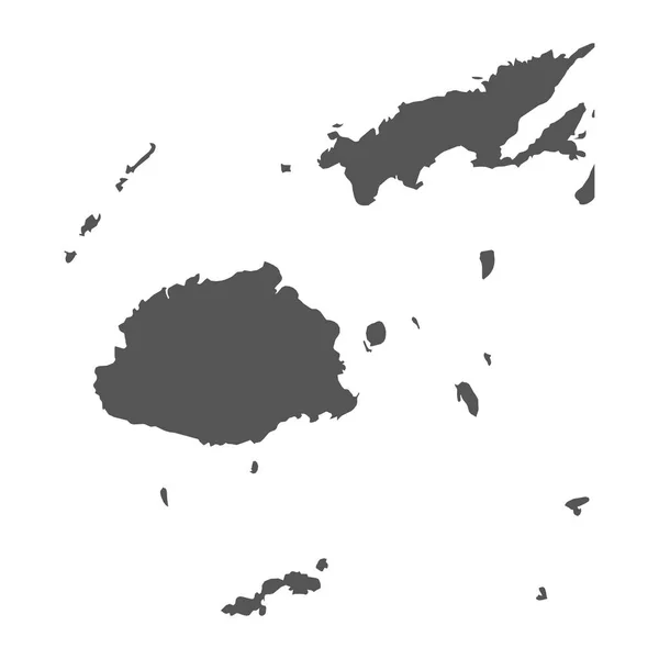
Highly detailed Fiji map with borders isolated on background
Highly Detailed Fiji Map Borders Isolated Background — Stock Vector
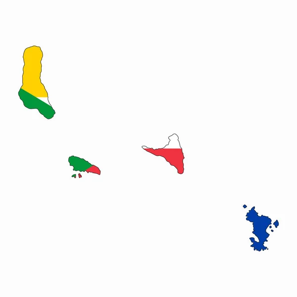
Comoros flag simple illustration for independence day or election
Comoros Flag Simple Illustration Independence Day Election — Stock Vector
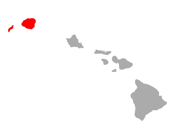
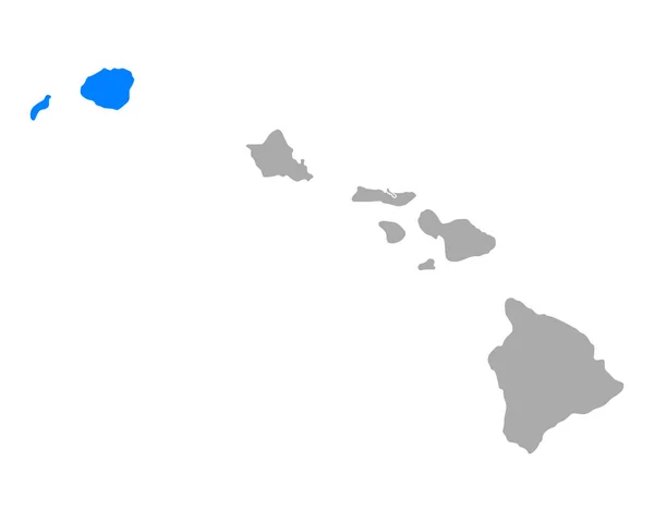
Map of Kauai in Hawaii
Map Kauai Hawaii — Stock Vector
Map of Galapagos Islands
Map Galapagos Islands — Stock Vector
Map of Cape Verde
Map of Cape Verde — Stock Vector
Saint Barthelemy map
Saint Barthelemy map — Stock Vector
Map of Hawaii
Map of Hawaii — Stock Vector
Hawaii map shape, united states of america. Flat concept icon symbol vector illustration .
Hawaii Map Shape United States America Flat Concept Icon Symbol — Stock Vector
Circle Dot Havaii Islands Map
Circle Dot Havaii Islands Map — Stock Vector
Fiji vector map. Black icon on white background.
Fiji vector map. Black icon on white background. — Stock Vector
Map of Kauai in Hawaii
Map Kauai Hawaii — Stock Vector
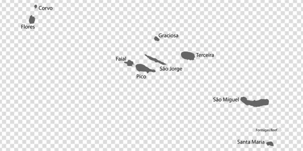
Blank map Azores in gray. Every Island map is with titles. High quality map of Azores with districts on transparent background for your design. Macaronesia. Portugal. EPS10.
Blank Map Azores Gray Every Island Map Titles High Quality — Stock Vector
Abstract Silhouette Caribbean Simple Map
Abstract Silhouette Caribbean Simple Map — Stock Vector
Map of Samoa with shadow
Map of Samoa with shadow — Stock Vector
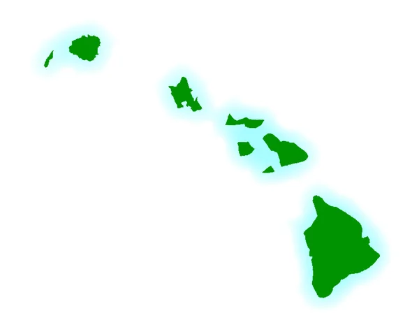
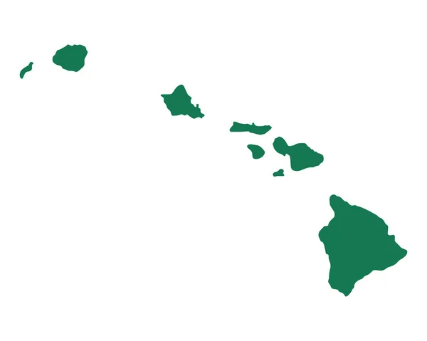
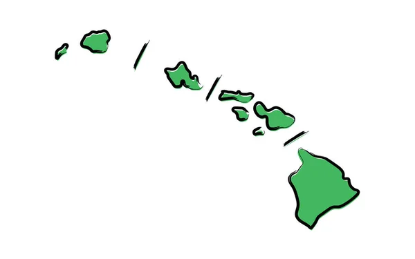
Stylized green sketch map of Hawaii
Stylized Green Sketch Map Hawaii — Stock Vector
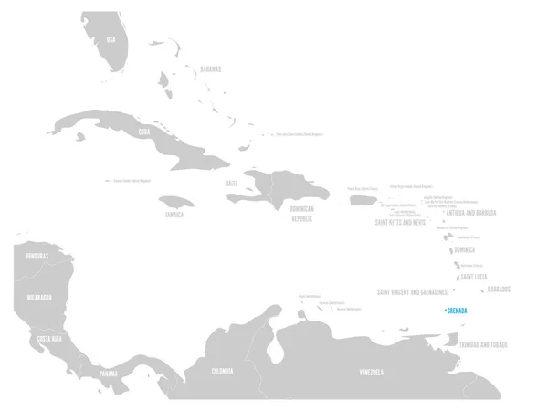
Grenada blue marked in the map of Caribbean. Vector illustration
Grenada blue marked in the map of Caribbean. Vector illustration — Stock Vector
Rosemary island (Western Australia, Commonwealth of Australia, Indian Ocean, Dampier Archipelago) map vector illustration, scribble sketch Rosemary map
Rosemary Island Western Australia Commonwealth Australia Indian Ocean Dampier Archipelago — Stock Vector
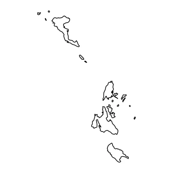
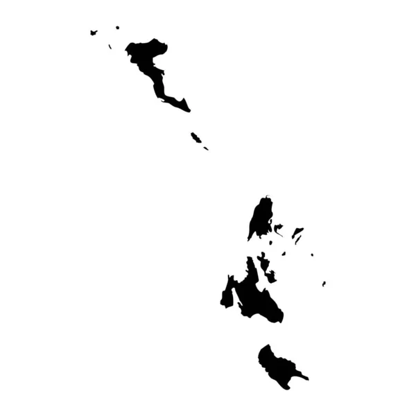
Ionian islands region map, administrative region of Greece. Vector illustration.
Ionian Islands Region Map Administrative Region Greece Vector Illustration — Stock Vector
Map of Kalawao in Hawaii
Map Kalawao Hawaii — Stock Vector
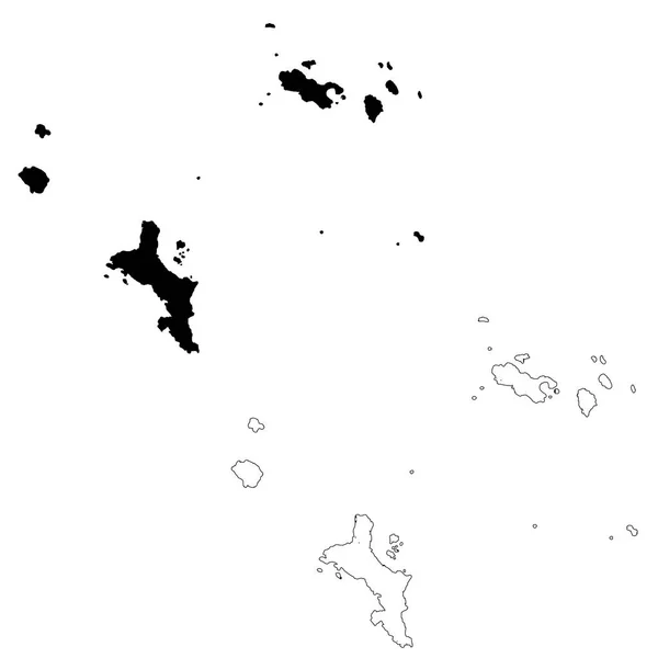
Vector map Seychelles and Victoria. Isolated vector Illustration. Black on White background. EPS 10 Illustration.
Vector Map Seychelles Victoria Isolated Vector Illustration Black White Background — Stock Vector
Map of Hawaii with shadow
Map of Hawaii with shadow — Stock Vector
Bahamas map country icon in solid style
Bahamas Map Country Icon Solid Style — Stock Vector
Gray Outline Counties Map of US State of Hawaii
Gray Outline Counties Map State Hawaii — Stock Vector
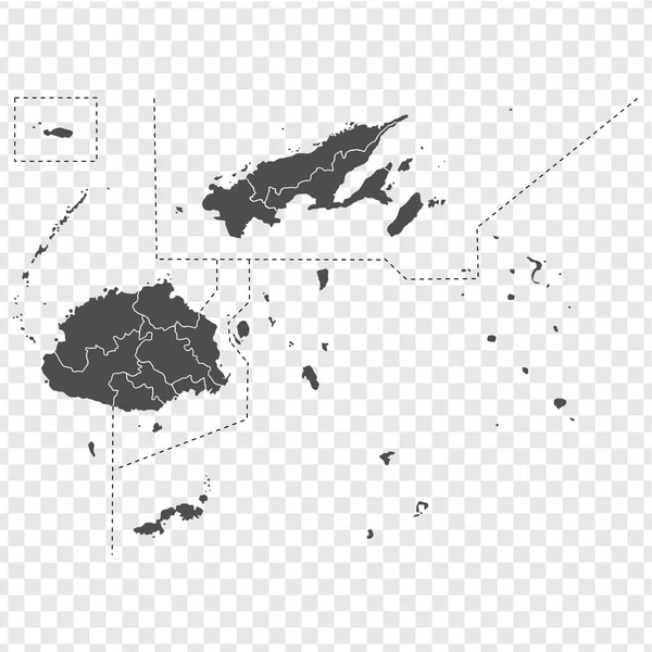
Blank map of Fiji. High quality map Republic of Fiji with provinces on transparent background for your web site design, app, UI. Oceania. EPS10.
Blank map of Fiji. High quality map Republic of Fiji  with provinces on transparent background for your web site design, app, UI. Oceania. EPS10. — Stock Vector
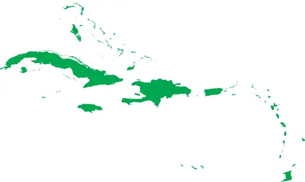
GREEN CMYK color detailed flat stencil map of the region of CARIBBEAN ISLANDS on transparent background
Green Cmyk Color Detailed Flat Stencil Map Region Caribbean Islands — Stock Vector
Hawaii state map icon vector illustration
Hawaii State Map Icon Vector Illustration — Stock Vector
Accurate map of Hawaii
Accurate map of Hawaii — Stock Vector
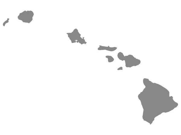
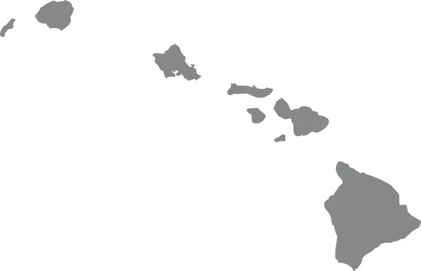
GRAY CMYK color detailed flat map of the federal state of HAWAII, UNITED STATES OF AMERICA on transparent background
Gray Cmyk Color Detailed Flat Map Federal State Hawaii United — Stock Vector
Blank map Leeward Islands in gray. Every Island map is with titles. High quality map of Leeward Islands with districts on transparent background for your design. Bora Bora. French Polynesia. EPS10.
Blank Map Leeward Islands Gray Every Island Map Titles High — Stock Vector
High quality map of Vanuatu with borders of the regions on white backgroun
High Quality Map Vanuatu Borders Regions White Backgroun — Stock Vector
Map of Guadeloupe with flag. Outline map Guadeloupe. Guadeloupe vector map silhouette. flat style
Map Guadeloupe Flag Outline Map Guadeloupe Guadeloupe Vector Map Silhouette — Stock Vector
Ionian islands region map, administrative region of Greece. Vector illustration.
Ionian Islands Region Map Administrative Region Greece Vector Illustration — Stock Vector
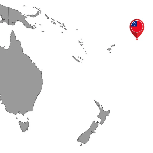
Pin map with Samoa flag on world map. Vector illustration.
Pin Map Samoa Flag World Map Vector Illustration — Stock Vector
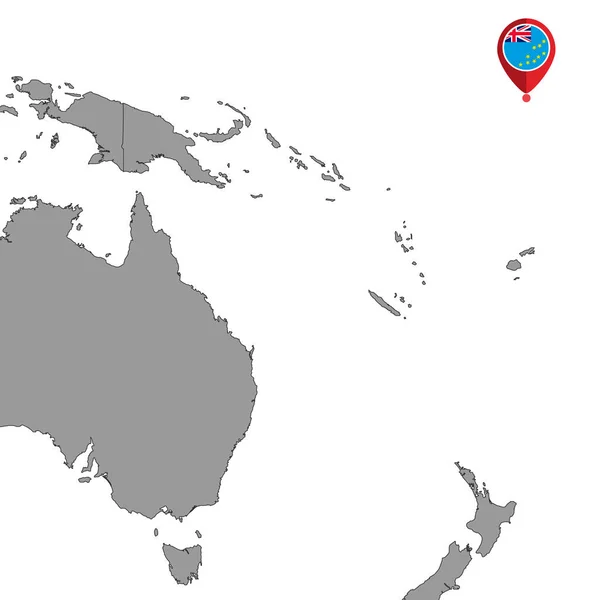
Pin map with Tuvalu flag on world map. Vector illustration.
Pin Map Tuvalu Flag World Map Vector Illustration — Stock Vector
Transparent silhouette of Malta map with shadow
Transparent Silhouette Malta Map Shadow — Stock Vector
Alhucemas Islands (Kingdom of Spain, Mediterranean Sea) map vector illustration, scribble sketch Penon de Alhucemas, Isla de Tierra and de Mar map
Alhucemas Islands Kingdom Spain Mediterranean Sea Map Vector Illustration Scribble — Stock Vector
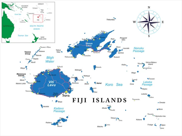
Highly detailed vector map of Fiji with main cities and roads.
Highly Detailed Vector Map Fiji Main Cities Roads — Stock Vector
Highly detailed Seychelles map with borders isolated on background
Highly Detailed Seychelles Map Borders Isolated Background — Stock Vector
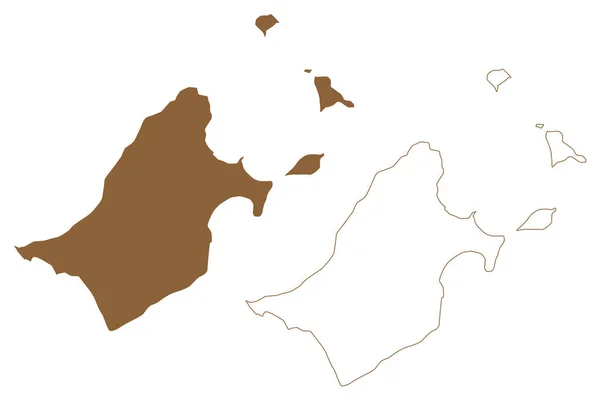
Saganthit or Sellore Island (Republic of the Union of Myanmar, Burma, Mergui, Myeik Archipelago, Indian Ocean) map vector illustration, scribble sketch Saganthit Kyun map
Saganthit Sellore Island Republic Union Myanmar Burma Mergui Myeik Archipelago — Stock Vector
Map of Bahamas with shadow
Map of Bahamas with shadow — Stock Vector
Solomon Islands Flag Map. Map of the Solomon Islands with country banner. Vector Illustration.
Solomon Islands Flag Map Map Solomon Islands Country Banner Vector — Stock Vector
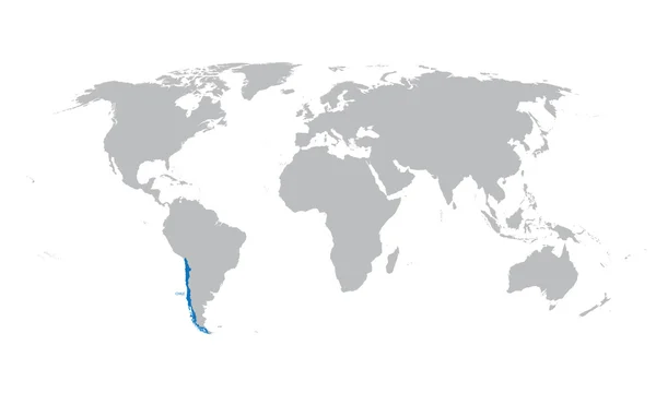
Grey map of the world with indication of Chile
Grey map of the world with indication of Chile — Stock Vector
Gray flat blank vector map of the Norwegian regional capital city of HAUGESUND, NORWAY
Gray Flat Blank Vector Map Norwegian Regional Capital City Haugesund — Stock Vector
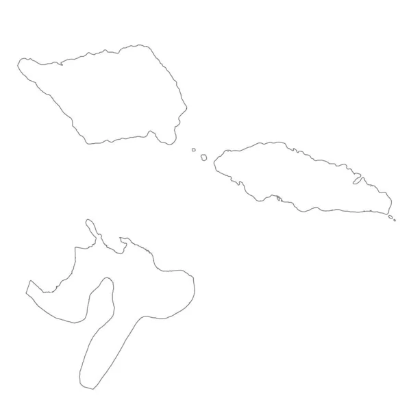
Samoa map outline vector with administrative borders, regions, municipalities, departments in black white colors. Infographic design template map.
Samoa Map Outline Vector Administrative Borders Regions Municipalities Departments Black — Stock Vector
Guadeloupe map vector
Guadeloupe map vector — Stock Vector
Map of sierra leone, vector simple design
Map Sierra Leone Vector Simple Design — Stock Vector
Central America silhouette map
Central America silhouette map — Stock Vector
Bahamas map in gray on a white background
Bahamas map in gray on a white background — Stock Vector
Cuba blue marked in the map of Caribbean. Vector illustration
Cuba blue marked in the map of Caribbean. Vector illustration — Stock Vector
Black flat blank vector map of the Norwegian regional capital city of STAVANGER, NORWAY
Black Flat Blank Vector Map Norwegian Regional Capital City Stavanger — Stock Vector
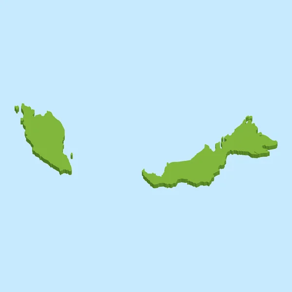
3D map on blue water background of Malaysia
3D map on blue water background of  Malaysia — Stock Vector
Isolated vector Illustration. Black on White background. EPS 10 Illustration
Isolated Vector Illustration Black White Background Eps Illustration — Stock Vector
Powerful island (Western Australia, Commonwealth of Australia, Buccaneer Archipelago, Indian Ocean) map vector illustration, scribble sketch Powerful map
Powerful Island Western Australia Commonwealth Australia Buccaneer Archipelago Indian Ocean — Stock Vector
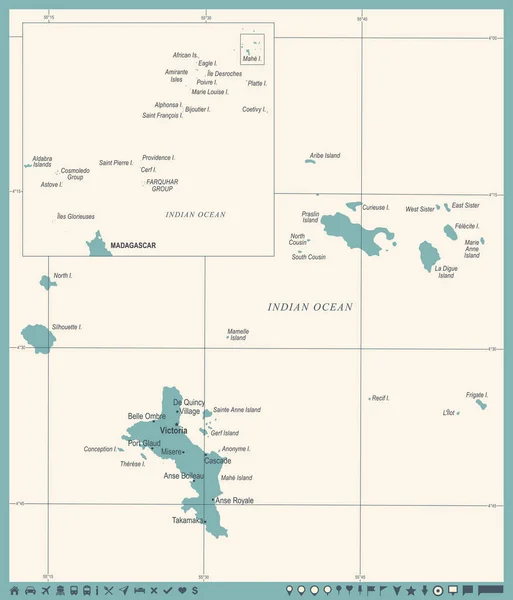
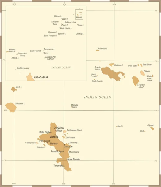
Seychelles Map - Vintage Detailed Vector Illustration
Seychelles Map - Vintage Detailed Vector Illustration — Stock Vector
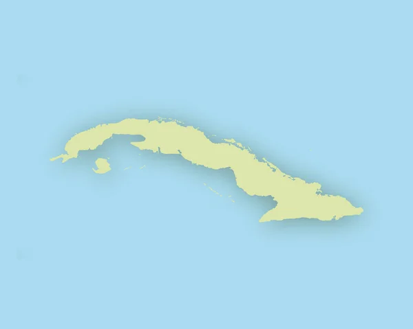
Map of Cuba with shadow
Map of Cuba with shadow — Stock Vector
Map of Hawaii
Map of Hawaii — Stock Vector
Isolated vector Illustration. Black on White background. EPS 10 Illustration
Isolated Vector Illustration Black White Background Eps Illustration — Stock Vector
Thessaly region map, administrative region of Greece. Vector illustration.
Thessaly Region Map Administrative Region Greece Vector Illustration — Stock Vector
Accurate map of Hawaii
Accurate map of Hawaii — Stock Vector
Papua New Guinea map
Papua New Guinea map — Stock Vector
Hawaii map on white background
Hawaii Map White Background — Stock Vector
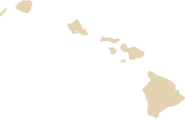
BEIGE CMYK color detailed flat map of the federal state of HAWAII, UNITED STATES OF AMERICA on transparent background
Beige Cmyk Color Detailed Flat Map Federal State Hawaii United — Stock Vector
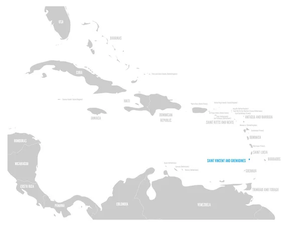
Saint Vincent and Grenadines blue marked in the map of Caribbean. Vector illustration
Saint Vincent and Grenadines blue marked in the map of Caribbean. Vector illustration — Stock Vector
Free municipal consortium of Trapani (Italy, Italian Republic, Sicily region) map vector illustration, scribble sketch Province of Trapani map
Free Municipal Consortium Trapani Italy Italian Republic Sicily Region Map — Stock Vector
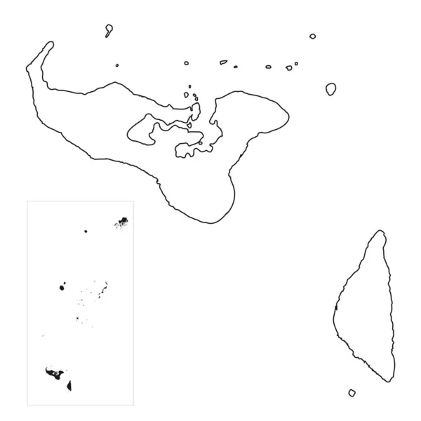
Highly detailed Tonga map with borders isolated on background
Highly Detailed Tonga Map Borders Isolated Background — Stock Vector
Accurate map of Cape Verde
Accurate map of Cape Verde — Stock Vector
Seychelle Map - Vintage Detailed Vector Illustration
Seychelle Map - Vintage Detailed Vector Illustration — Stock Vector
Map of papua new guinea with outline map
Map Papua New Guinea Outline Map — Stock Vector
Bermuda map on png or transparent background.Symbol of Bermuda.Vector illustration
Bermuda Map Png Transparent Background Symbol Bermuda Vector Illustration — Stock Vector
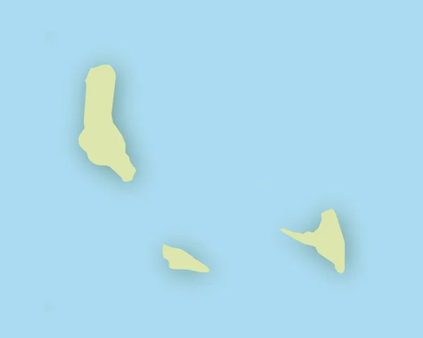
Map of the Comoros with shadow
Map of the Comoros with shadow — Stock Vector
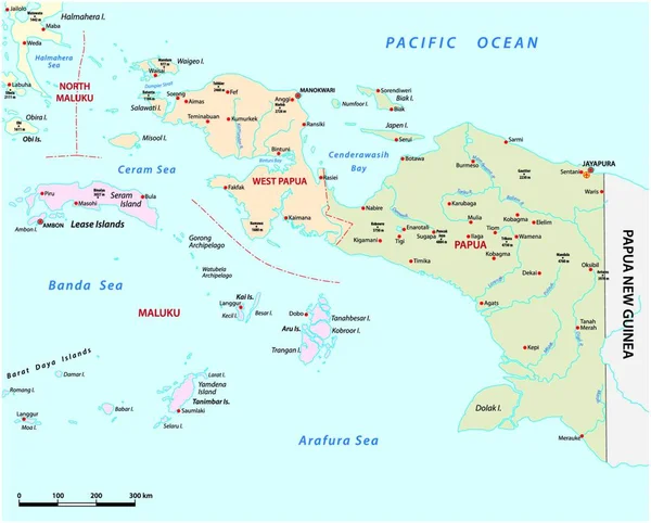
Vector map of the Indonesian provinces of Papua and West Papua
Vector Map Indonesian Provinces Papua West Papua — Stock Vector
Accurate map of Madagascar
Accurate map of Madagascar — Stock Vector
Map of Hawaii
Map of Hawaii — Stock Vector
The card can be used immediately and is optimized for printing and use in digital media. The color mode is RGB.
Card Can Used Immediately Optimized Printing Use Digital Media Color — Stock Vector
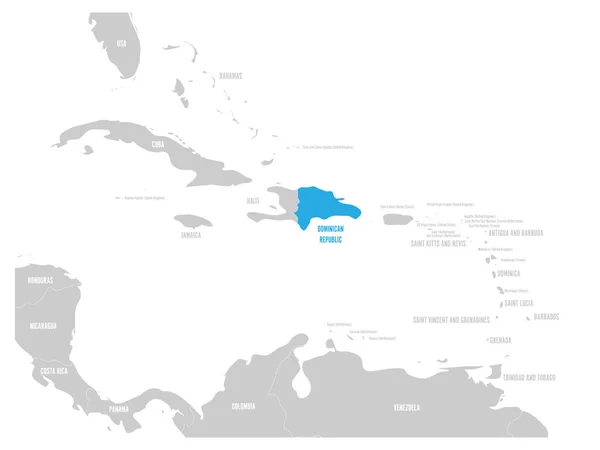
Dominican Republic blue marked in the map of Caribbean. Vector illustration
Dominican Republic blue marked in the map of Caribbean. Vector illustration — Stock Vector

Explore the Pacific Islands with Our Comprehensive Map Vector Collection

If you're planning a project that requires high-quality, detailed maps of the Pacific Islands, you've come to the right place. Our collection of Pacific Islands map vectors is the perfect tool for designers, developers, and marketers looking to add visual context and geographic detail to their work. Our maps are available in a range of file formats—including JPG, AI, and EPS—to suit your specific needs.

Discover the Benefits of Using Our Pacific Islands Map Vectors

The Pacific Islands are home to a diverse array of cultures, languages, and ecosystems, and our map vectors offer an accurate and comprehensive representation of this rich region. Our collection includes detailed maps of popular destinations such as Hawaii, Fiji, and Tahiti, as well as lesser-known islands such as Kiribati and Nauru. Whether you're creating a travel brochure, educational materials, or a website, our maps can help you communicate important information and engage your audience.
One of the key benefits of using vector images is that they are scalable, meaning they can be enlarged or reduced in size without loss of quality. This makes them an ideal choice for use in print materials such as brochures and posters, as well as on digital platforms such as websites and social media. Our maps are also customizable, so you can easily modify them to suit your needs—whether you need to highlight specific areas, add labels, or adjust colors and fonts to match your branding.

Choose the Right Image Format for Your Project

When choosing an image format for your project, it's important to consider your goals and the intended use of your maps. For print materials, such as brochures or flyers, we recommend using high-resolution JPG or EPS files, as these formats offer the best quality and color retention. For digital projects, such as websites or social media posts, we suggest using AI files as they are easily scalable and can be modified easily using Adobe Illustrator.

Whatever your needs, our collection of Pacific Islands map vectos has you covered. Our images are royalty-free, meaning you can use them without worrying about licensing fees or restrictions. Browse our collection today and discover the perfect map vectors for your project.

The Bottom Line

Using vector images is one of the most effective ways to enhance the visual impact of your projects. Our collection of Pacific Islands map vectors offers a range of high-quality images that can be used to add geographic context and detail to a wide variety of projects. Whether you're working on a travel brochure, educational materials, or a website, our maps are the perfect tool to help you engage your audience and communicate your message. So why wait? Browse our collection today and take your projects to the next level!