World map outline Stock Vector Images

100,000 World map outline vector art & graphics are available under a royalty-free license

  • Best Match
  • Fresh
  • Popular
1-100 of 100,000
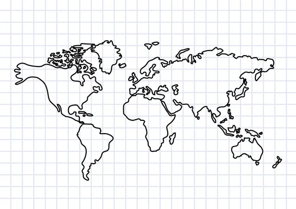
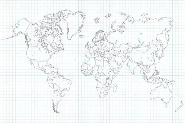
Drawing of map on squared paper
Drawing of map on squared paper — Stock Vector
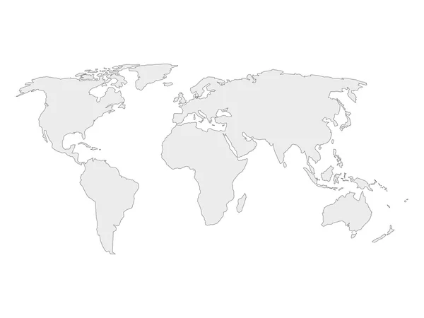
World map
World map — Stock Vector
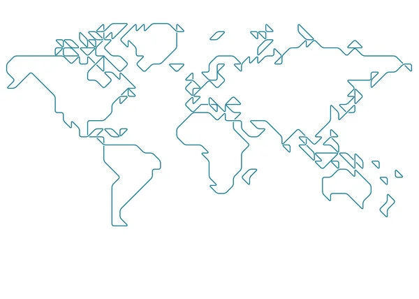
Abstract outline world map
Abstract outline world map — Stock Vector
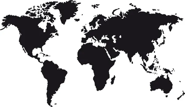
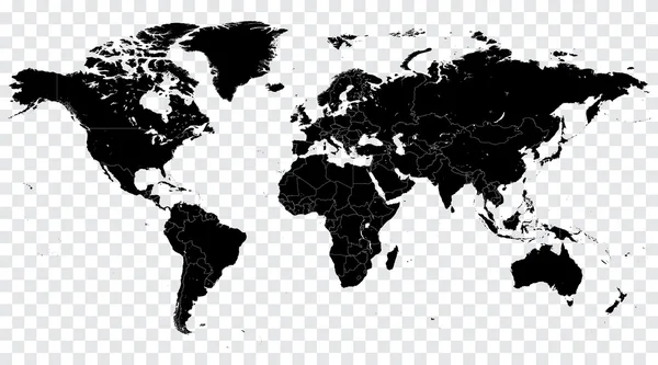
Black map of world
Black map of world — Stock Vector
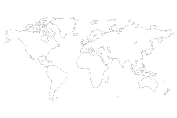
Outlined world map
Outlined world map — Stock Vector
Hi Detail Black Vector Political World Map illustration
Hi Detail Black Vector Political World Map illustration — Stock Vector
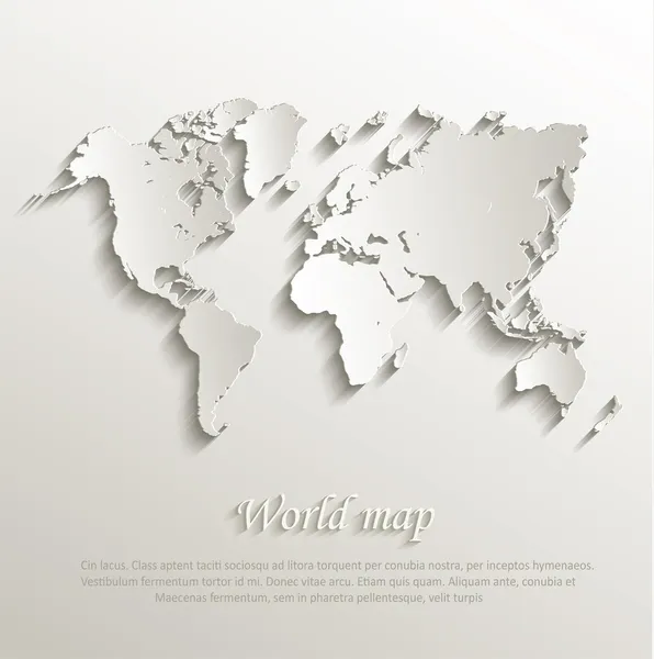
Vector World map card paper 3D nature
Vector World map card paper 3D nature — Stock Vector
World Map Outline Illustration
World Map Outline Illustration — Stock Vector
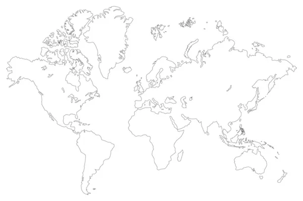
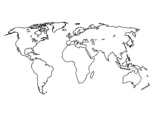
World map outline
World map outline — Stock Vector
World map
World map — Stock Vector
Black world map outlines on white
Black world map outlines on white — Stock Vector
World Continents
World Continents — Stock Vector
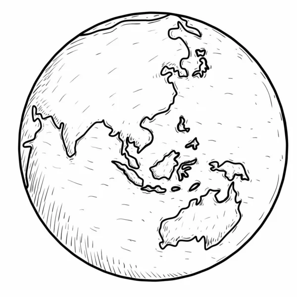
Earth Globe with World map Detail Vector Line Sketched Up Illustrator, EPS 10.
Earth Globe with World map Detail Vector Line Sketched Up Illustrator, EPS 10. — Stock Vector
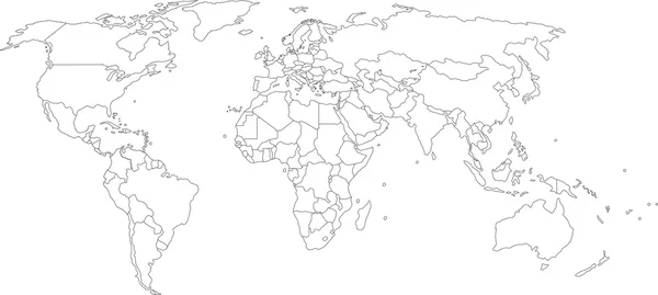
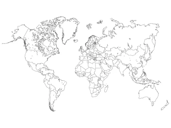
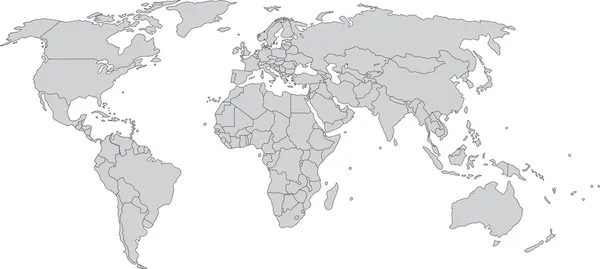
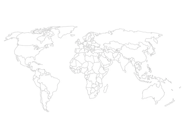
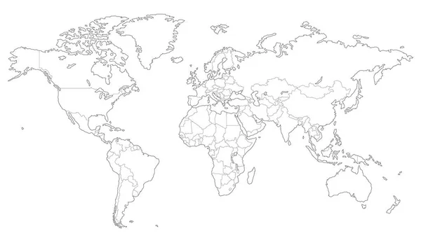
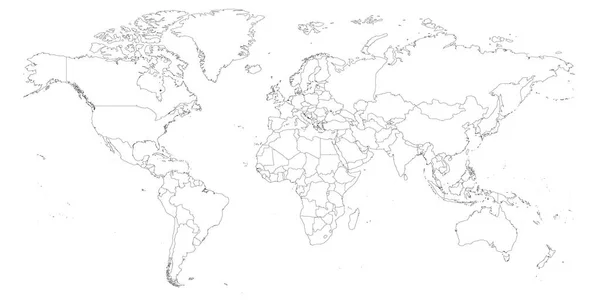
World map with country borders
World map with country borders — Stock Vector
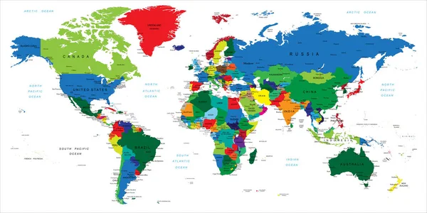
Hi Detail colored Vector Political World Map illustration
Hi Detail colored Vector Political World Map illustration — Stock Vector
World Map
World Map — Stock Vector
Doodle world map sketch. Planet Earth sketch
Doodle world map sketch. Planet Earth sketch — Stock Vector
World map with smoothed country borders
World map with smoothed country borders — Stock Vector
World map drawn
World map drawn — Stock Vector
World map
World map — Stock Vector
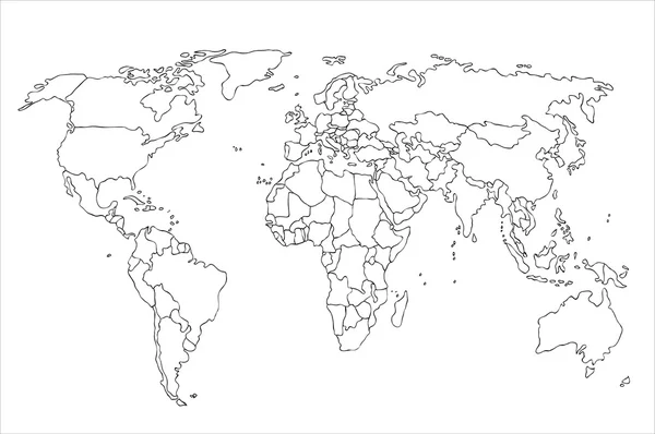
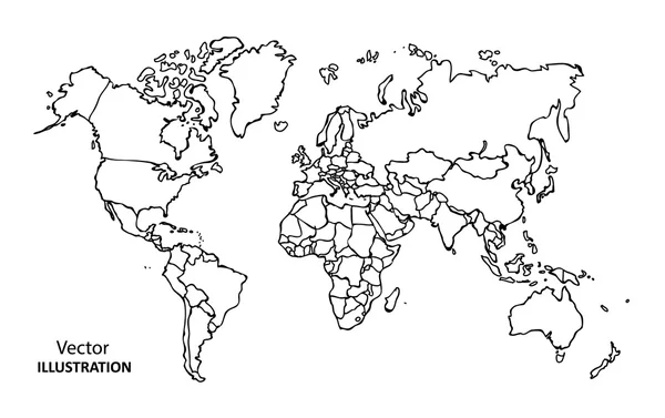
Hand drawing World Map with countries
Hand drawing World Map with countries — Stock Vector
Abstract background.
Abstract background. — Stock Vector
Infographic Education Outline concept.
Infographic Education Outline concept. — Stock Vector
Table Globe Vector Icon
Table Globe Vector Icon — Stock Vector
World map with smoothed country borders
World map with smoothed country borders — Stock Vector
Outlined vector map of the world
Outlined vector map of the world — Stock Vector
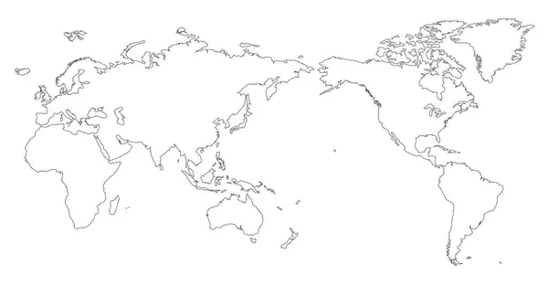
World Map Outline Contour Silhouette - Asia in Center
World Map Outline Contour Silhouette Asia Center — Stock Vector
World Map Vector Illustration Hand Drawn Cartoon Art
World Map Vector Illustration Hand Drawn Cartoon Art — Stock Vector
World map
World map — Stock Vector
World map paper. Political map of the world on a gray background. Countries. Vector illustration. White.
World Map Paper Political Map World Gray Background Countries Vector — Stock Vector
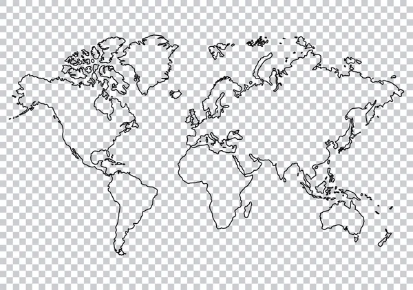
World Map Checker Background
World Map Checker Background — Stock Vector
Simplified Blue world map on white background
Simplified Blue World Map White Background — Stock Vector
Tour of the world banners concept. Tourism with fast travel on a flat design style. Vector illustration in retro style
Tour World Banners Concept Tourism Fast Travel Flat Design Style — Stock Vector
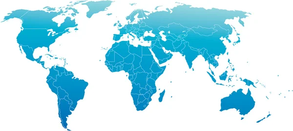
Hi Detail Blue Vector Political World Map illustration
Hi Detail Blue Vector Political World Map illustration — Stock Vector
Map of World dark grey vector silhouette. High detailed map on light background
Map of World dark grey vector silhouette. High detailed map on light background — Stock Vector
Highly detailed map of the world with countries, big cities and other labels,updated with South Sudan,Kosovo and North Macedonia
Highly Detailed Map World Countries Big Cities Other Labels Updated — Stock Vector
Outline map of World. Simple flat vector illustration
Outline map of World. Simple flat vector illustration — Stock Vector
Dotted World Map
Dotted World Map — Stock Vector
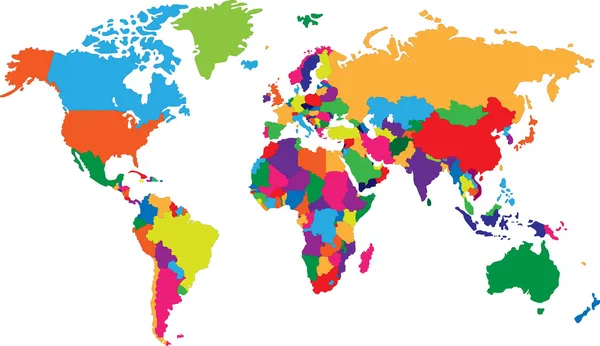
Colorful World map
Colorful World map — Stock Vector
World Map
World Map — Stock Vector
Black silhouette isolated World map EPS10 vector file.
Black silhouette isolated World map EPS10 vector file. — Stock Vector
World map and compass background
World map and compass background — Stock Vector
Highly detailed world map with labeling
Highly detailed world map with labeling — Stock Vector
Political Colored World Map Vector
Political Colored World Map Vector — Stock Vector
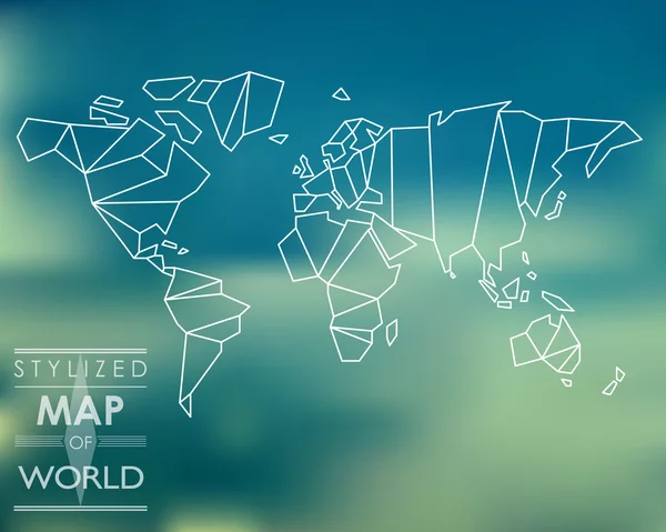
Stylized map of world
Stylized map of world — Stock Vector
Globe earth world map. Planet cartography. vector
Globe earth world map. Planet cartography. vector — Stock Vector
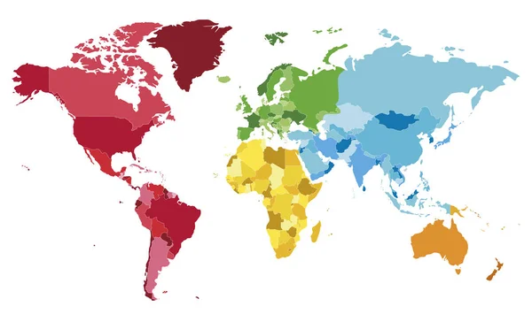
Political blank World Map vector illustration with different colors for each continent and different tones for each country. Editable and clearly labeled layers.
Political Blank World Map Vector Illustration Different Colors Each Continent — Stock Vector
Blank outline map of World. Worksheet for geography teachers usable as geographical test in school lessons
Blank outline map of World. Worksheet for geography teachers usable as geographical test in school lessons — Stock Vector
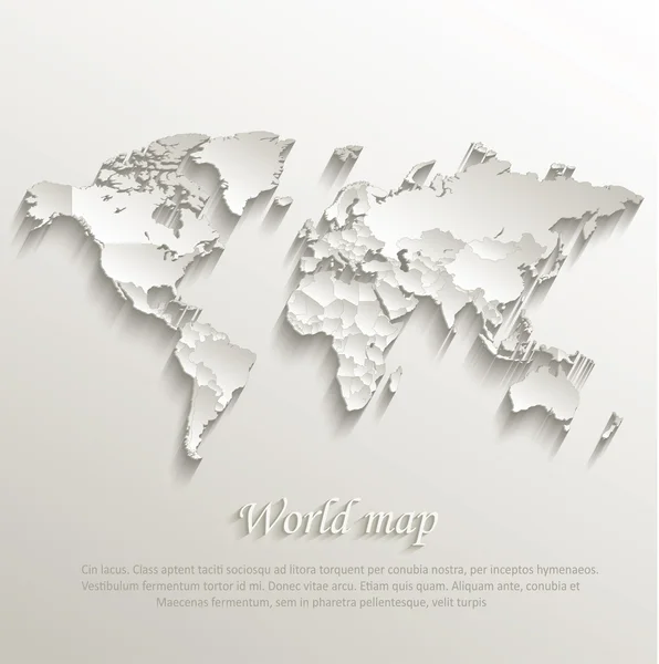
World political map card paper 3D natural vector individual states separate
World political map card paper 3D natural vector individual states separate — Stock Vector
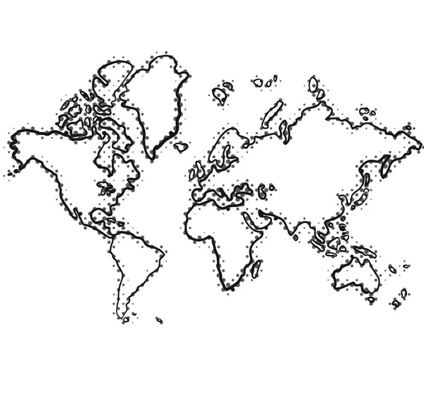
World map zentangle stylized, vector, illustration, freehand pencil.
World map zentangle stylized, vector, illustration, freehand pencil. — Stock Vector
Dotted world map
Dotted world map — Stock Vector
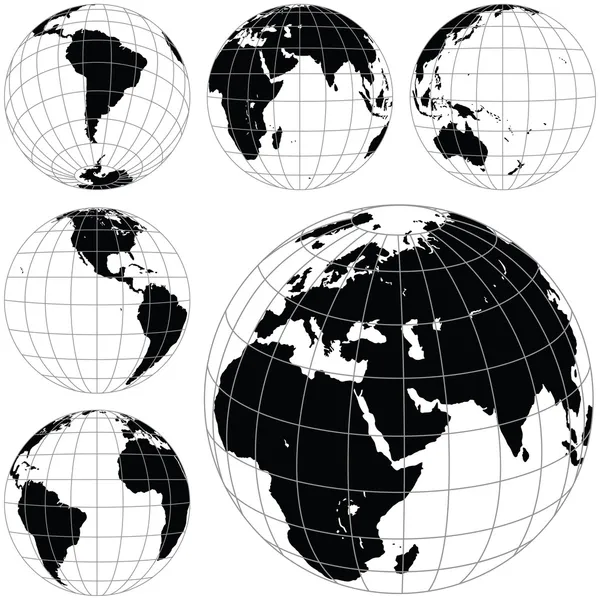
Black and white vector earth globes
Black and white vector earth globes — Stock Vector
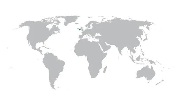
World map with indication of Ireland
World map with indication of Ireland — Stock Vector
World Map Vector Detailed Illustration with points
World Map Vector Detailed Illustration Points — Stock Vector
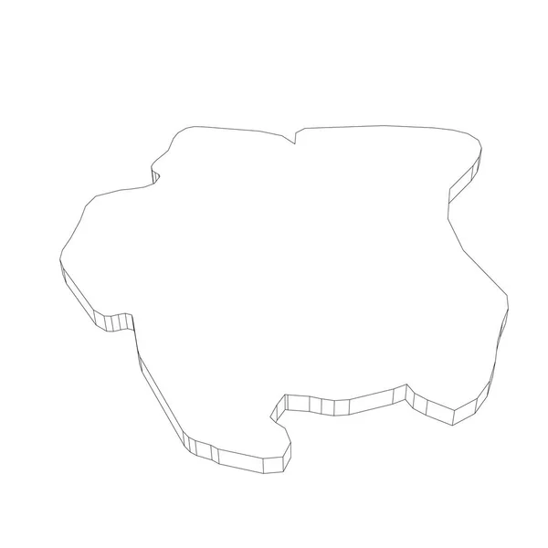
Surinam - 3D black thin outline silhouette map of country area. Simple flat vector illustration
Surinam - 3D black thin outline silhouette map of country area. Simple flat vector illustration — Stock Vector
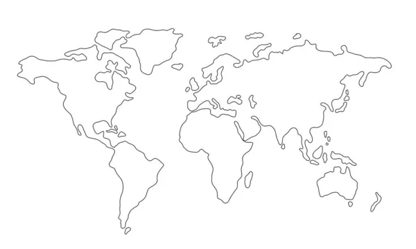
Line contour of the world map isolated on white background. Hand drawn simplified outline of continents. North America, Africa, Europe, Asia, Australia, South America mainlands vector illustration
Line Contour World Map Isolated White Background Hand Drawn Simplified — Stock Vector
World map with the moon
World Map Moon — Stock Vector
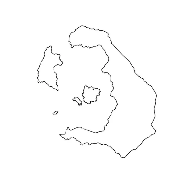
Greek Island of Santorini map line contour,vector isolated on white background. Ionian island of Cyclades archipelago symbol. Greece territory.
Greek Island Santorini Map Line Contour Vector Isolated White Background — Stock Vector
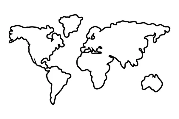
Worldwide map outline continents isolated black and white
Worldwide map outline continents isolated black and white — Stock Vector
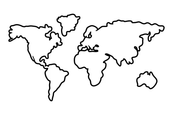
Worldwide map outline continents isolated black and white
Worldwide map outline continents isolated black and white — Stock Vector
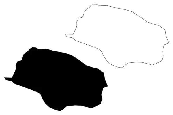
Vrapciste Municipality (Republic of North Macedonia, Polog Statistical Region) map vector illustration, scribble sketch Vrapciste map
Vrapciste Municipality (Republic of North Macedonia, Polog Statistical Region) map vector illustration, scribble sketch Vrapciste map — Stock Vector
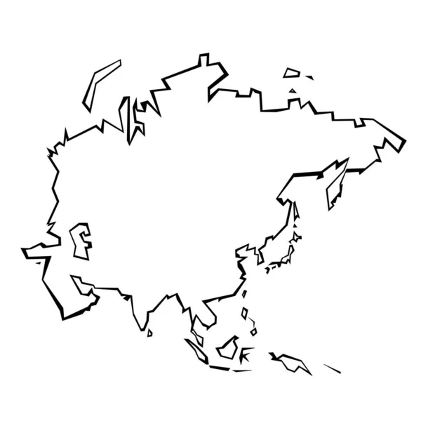
Asia map outline - continent shape sharp polygonal geometric style vector.
Asia Map Outline Continent Shape Sharp Polygonal Geometric Style Vector — Stock Vector
Senegal - 3D black thin outline silhouette map of country area. Simple flat vector illustration
Senegal - 3D black thin outline silhouette map of country area. Simple flat vector illustration — Stock Vector
Tehran Province (Provinces of Iran, Islamic Republic of Iran, Persia) map vector illustration, scribble sketch Tehran map
Tehran Province Provinces Iran Islamic Republic Iran Persia Map Vector — Stock Vector
Map world Outline icon in Outline style
Map World Outline Icon Outline Style — Stock Vector
Accurate map of Elba
Accurate map of Elba — Stock Vector
Dotted map of World. Vector illustration. eps10.
Dotted map of World. Vector illustration. eps10. — Stock Vector
Europe outline world map, vector illustration isolated on white. Map of Europe continent, line silhouette concept
Europe Outline World Map Vector Illustration Isolated White Map Europe — Stock Vector
North America thin black outline map. Contour map of continent. Simple flat vector illustration
North America thin black outline map. Contour map of continent. Simple flat vector illustration — Stock Vector
Squared Paper with the Shape of the Country of Zimbabwe
Squared Paper with the Shape of the Country of  Zimbabwe — Stock Vector
Plane map of the world on white background
Plane Map World White Background — Stock Vector
Simplified black outline of world map divided to six continents. Simple flat vector illustration on white background
Simplified black outline of world map divided to six continents. Simple flat vector illustration on white background — Stock Vector
Serbia - 3D black thin outline silhouette map of country area. Simple flat vector illustration
Serbia - 3D black thin outline silhouette map of country area. Simple flat vector illustration — Stock Vector
Angola - 3D black thin outline silhouette map of country area. Simple flat vector illustration
Angola - 3D black thin outline silhouette map of country area. Simple flat vector illustration — Stock Vector
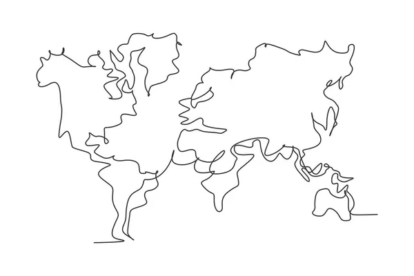
World atlas. Continuous one line drawing of world map minimalist vector illustration design on white background. Isolated simple line modern graphic style. Hand drawn graphic concept for education
World Atlas Continuous One Line Drawing World Map Minimalist Vector — Stock Vector
World map
World map — Stock Vector
Map of the world silhouette
Map World Silhouette — Stock Vector
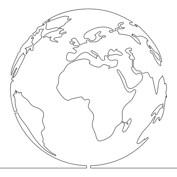
Earth globe continuous line art drawing. World map contour drawn symbol. Vector illustration isolated on white.
Earth Globe Continuous Line Art Drawing World Map Contour Drawn — Stock Vector
World Map on School Graph Paper
World Map on School Graph Paper — Stock Vector
Bolivia - 3D black thin outline silhouette map of country area. Simple flat vector illustration
Bolivia - 3D black thin outline silhouette map of country area. Simple flat vector illustration — Stock Vector
Kume island map. Vector illustration
Kume Island Map Vector Illustration — Stock Vector
Isolated map design
Isolated map design — Stock Vector
Isolated map design
Isolated map design — Stock Vector
Uruguay - 3D black thin outline silhouette map of country area. Simple flat vector illustration
Uruguay - 3D black thin outline silhouette map of country area. Simple flat vector illustration — Stock Vector
North and South America line continent. America linear map. Vector isolated on white.
North South America Line Continent America Linear Map Vector Isolated — Stock Vector
School Geographical Map
School Geographical Map — Stock Vector
Outline Earth globe with map of World focused on Antarctica. Vector illustration
Outline Earth globe with map of World focused on Antarctica. Vector illustration — Stock Vector
Abstract futuristic world map. Mechanical globe circuit. Technology space background.
Abstract Futuristic World Map Mechanical Globe Circuit Technology Space Background — Stock Vector
Map of the world painted on a piece of school notebook. National boundaries drawn with blue pen
Map of the world painted on a piece of school notebook. National boundaries drawn with blue pen — Stock Vector
Continuous one single line drawing Map of the Earth icon vector illustration concept
Continuous One Single Line Drawing Map Earth Icon Vector Illustration — Stock Vector
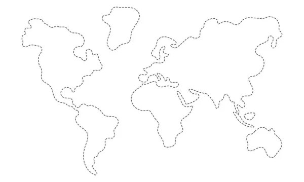
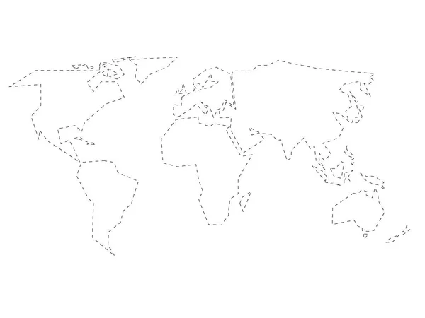
Simplified black dashed outline of world map divided to six continents. Simple flat vector illustration on white background
Simplified black dashed outline of world map divided to six continents. Simple flat vector illustration on white background — Stock Vector
Dot Stroke Mayotte Island Map
Dot Stroke Mayotte Island Map — Stock Vector
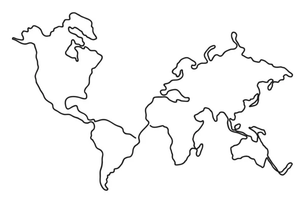
Continuous line drawing of world map. One line map of the Earth. Hand-drawn illustration. Vector.
Continuous Line Drawing World Map One Line Map Earth Hand — Stock Vector
Vector Blank Grey, linear similar World map isolated on white background. Monochrome Worldmap template website design cover, annual reports, infographics. Flat Earth Graph World map illustration.
Vector Blank Grey, linear similar World map isolated on white background. Monochrome Worldmap template website design cover, annual reports, infographics. Flat Earth Graph World map illustration. — Stock Vector
Continuous one single line style world concept
Continuous one single line style world concept — Stock Vector
Paraguay - solid black outline border map of country area. Simple flat vector illustration
Paraguay - solid black outline border map of country area. Simple flat vector illustration — Stock Vector
Lake Cueifong (Taiwan, Republic of China, ROC) map vector illustration, scribble sketch map
Lake Cueifong Taiwan Republic China Roc Map Vector Illustration Scribble — Stock Vector
Grunge global map continent world geography vector illustration
Grunge Global Map Continent World Geography Vector Illustration — Stock Vector
World map in pen line style drawing on white background
World Map Pen Line Style Drawing White Background — Stock Vector
New continent american isolated icon
New continent american isolated icon — Stock Vector

Related vector searches

Explore the world with our vector images

Looking for a high-quality world map outline vector for your next project? You've come to the right place. Our collection of vector graphics includes a range of world maps in various styles and formats, from simple outlines to detailed topographical maps.

Types of vector images available

In addition to world maps, we offer a variety of other vector images that can be used for a range of purposes. These include icons, logos, illustrations, and more. Our images are available in AI, EPS, and JPG formats, making them highly versatile and compatible with a wide range of design software.

Where to use vector images

Vector images are an excellent choice for a variety of design projects, including web and print graphics, logos, infographics, and more. Because they are highly scalable, they can be resized without losing quality, making them ideal for projects requiring multiple image sizes.

The benefits of using vector images

One major benefit of vector images is their flexibility. Unlike raster images, which are made up of pixels, vector images are composed of mathematically defined shapes and curves that can be scaled to any size without losing sharpness. This makes them ideal for use in large-format designs, such as billboards and banners.

Another benefit of vector images is their ability to be edited easily. Because vector images are made up of individual shapes and lines, they can be easily manipulated using design software to change colors, add text or other elements, or adjust the scale or perspective of the image. This makes vector images highly versatile and adaptable for a variety of design projects.

Conclusion

Whether you're looking for a world map outline vector or other vector images for your next design project, our collection has you covered. With high-quality graphics and a range of file formats available, our images are the perfect choice for designers who need flexibility, versatility, and top-quality graphics.

When selecting your vector images, be sure to consider the purpose and context of your project, as well as the style and tone you're trying to convey. With careful consideration and a bit of creativity, you can use vector images to create eye-catching, visually compelling designs that stand out from the crowd.