Highway map Stock Vector Images

100,000 Highway map vector art & graphics are available under a royalty-free license

  • Best Match
  • Fresh
  • Popular
1-100 of 100,000
Windrose 1
Windrose 1 — Stock Vector
Asia country geographic icon in Maps & navigation category
Asia Country Geographic Icon Maps Navigation Category — Stock Vector
Hungary - solid black outline border map of country area. Simple flat vector illustration
Hungary - solid black outline border map of country area. Simple flat vector illustration — Stock Vector
Rize province map, administrative divisions of Turkey. Vector illustration.
Rize Province Map Administrative Divisions Turkey Vector Illustration — Stock Vector
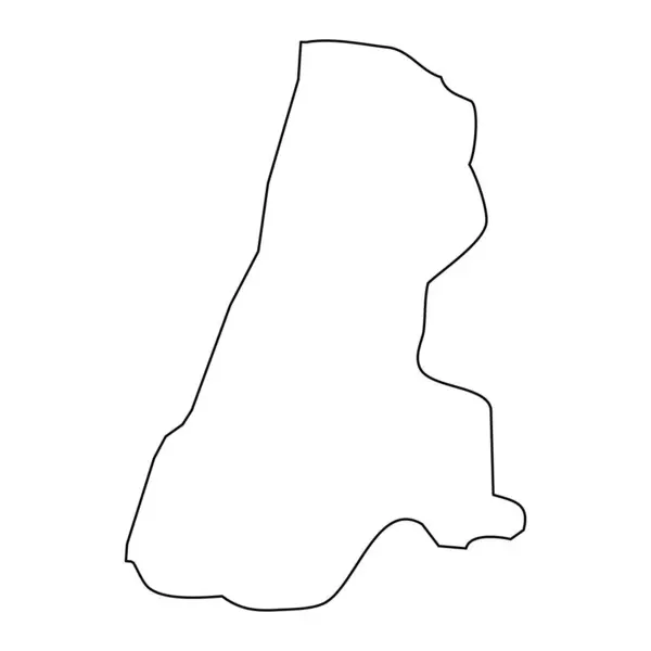
Tel Aviv District map, administrative division of Israel.
Tel Aviv District Map Administrative Division Israel — Stock Vector
El Progreso department map, administrative division of the country of Guatemala. Vector illustration.
Progreso Department Map Administrative Division Country Guatemala Vector Illustration — Stock Vector
Map
Map — Stock Vector
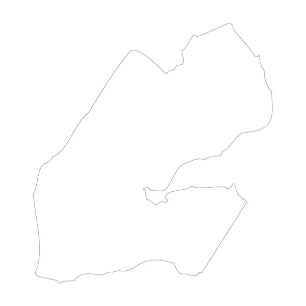
High detailed Outline of the country of Djibouti
High detailed Outline of the country of  Djibouti — Stock Vector
Accurate map of Baltrum
Accurate map of Baltrum — Stock Vector
Tourist map - for camping and hiking. Vector illustration in flat design
Tourist map - for camping and hiking. Vector illustration in flat design — Stock Vector
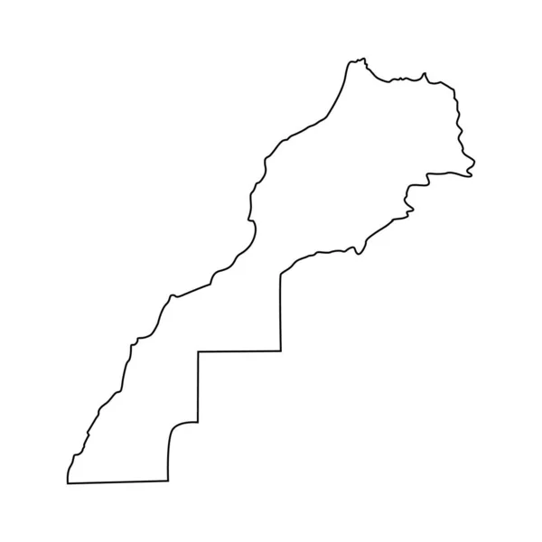
Morocco line map shape vector illustration isolated on white.
Morocco Line Map Shape Vector Illustration Isolated White — Stock Vector
Ajloun governorate map, administrative division of Jordan.
Ajloun Governorate Map Administrative Division Jordan — Stock Vector
Generic map
Generic map — Stock Vector
Nepal - solid black outline border map of country area. Simple flat vector illustration
Nepal - solid black outline border map of country area. Simple flat vector illustration — Stock Vector
Abstract topographic vector map of a coastal area with mountains
Abstract Topographic Vector Map Coastal Area Mountains — Stock Vector
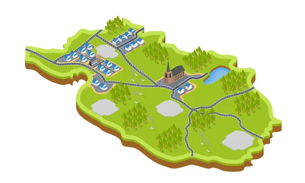
Vector illustration of Map of village
Vector Illustration Map Village — Stock Vector
Isparta province map, administrative divisions of Turkey. Vector illustration.
Isparta Province Map Administrative Divisions Turkey Vector Illustration — Stock Vector
Equatorial Guinea - solid black outline border map of country area. Simple flat vector illustration
Equatorial Guinea - solid black outline border map of country area. Simple flat vector illustration — Stock Vector
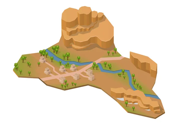
Isometric rock mountain with lake, river and house. Isolated on white
Isometric Rock Mountain Lake River House Isolated White — Stock Vector
Illustrated Country Shape of Guinea Bissau
Illustrated Country Shape of Guinea Bissau — Stock Vector
Slovakia - solid black outline border map of country area. Simple flat vector illustration
Slovakia - solid black outline border map of country area. Simple flat vector illustration — Stock Vector
Cankiri province map, administrative divisions of Turkey. Vector illustration.
Cankiri Province Map Administrative Divisions Turkey Vector Illustration — Stock Vector
Senegal - 3D black thin outline silhouette map of country area. Simple flat vector illustration
Senegal - 3D black thin outline silhouette map of country area. Simple flat vector illustration — Stock Vector
Illustrated Country Shape of Democratic Republic of Congo
Illustrated Country Shape of Democratic Republic of Congo — Stock Vector
Black flat blank highlighted location map of the SAINT-MERRI QUARTER inside gray administrative map of the 4th arrondissement (de l'Htel-de-Ville), Paris, France
Black Flat Blank Highlighted Location Map Saint Merri Quarter Gray — Stock Vector
Democratic Republic of the Congo - 3D black thin outline silhouette map of country area. Simple flat vector illustration
Democratic Republic of the Congo - 3D black thin outline silhouette map of country area. Simple flat vector illustration — Stock Vector
Qusar district map, administrative division of Azerbaijan.
Qusar District Map Administrative Division Azerbaijan — Stock Vector
Highly detailed Djibouti map with borders isolated on background
Highly Detailed Djibouti Map Borders Isolated Background — Stock Vector
Flat color illustration of arrow
Flat Color Illustration Arrow — Stock Vector
Flat color illustration of arrow
Flat Color Illustration Arrow — Stock Vector
Irabu island map. Vector illustration
Irabu Island Map Vector Illustration — Stock Vector
Astara district map, administrative division of Azerbaijan.
Astara District Map Administrative Division Azerbaijan — Stock Vector
Djibouti country thin black outline. High detailed map. Vector illustration isolated on white background.
Djibouti Country Thin Black Outline High Detailed Map Vector Illustration — Stock Vector
Burkina Faso - solid black outline border map of country area. Simple flat vector illustration
Burkina Faso - solid black outline border map of country area. Simple flat vector illustration — Stock Vector
Abstract landscape background. Mosaic.
Abstract landscape background. Mosaic. — Stock Vector
Illustrated Country Shape of Bulgaria
Illustrated Country Shape of Bulgaria — Stock Vector
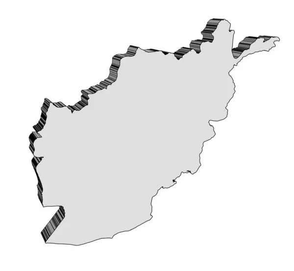
Outline map of Afghanistan in 3D render silhouette
Outline Map Afghanistan Render Silhouette — Stock Vector
Chalked map on a chalk board of Latvia
Chalked map on a chalk board of  Latvia — Stock Vector
Illustrated Country Shape of Central African Republic
Illustrated Country Shape of Central African Republic — Stock Vector
Torn piece of sheet gray paper from the bottom vector realistic template paper design.
Torn Piece Sheet Gray Paper Bottom Vector Realistic Template Paper — Stock Vector
Sabha District (Districts of Libya, State of Libya, Fezzan) map vector illustration, scribble sketch Sabha map
Sabha District (Districts of Libya, State of Libya, Fezzan) map vector illustration, scribble sketch Sabha map — Stock Vector
Chula Vista City map vector
Chula Vista City map vector — Stock Vector
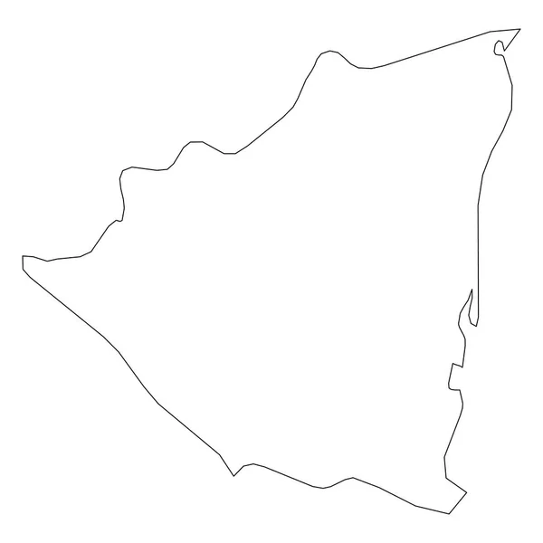
Nicaragua - solid black outline border map of country area. Simple flat vector illustration
Nicaragua - solid black outline border map of country area. Simple flat vector illustration — Stock Vector
Topographic military radar tactical map of Hanover, Germany with emerald green contour lines on dark green background
Topographic Military Radar Tactical Map Hanover Germany Emerald Green Contour — Stock Vector
Tumbes map, region in Peru. Vector Illustration.
Tumbes Map Region Peru Vector Illustration — Stock Vector
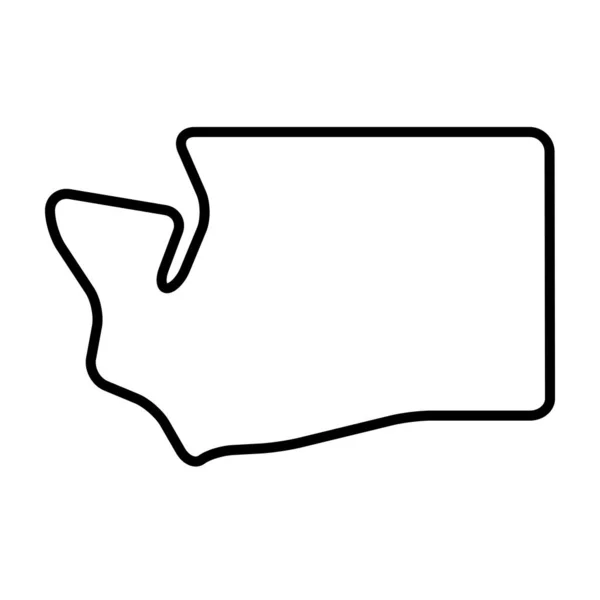
Washington state of United States of America, USA. Simplified thick black outline map with rounded corners. Simple flat vector illustration
Washington State United States America Usa Simplified Thick Black Outline — Stock Vector
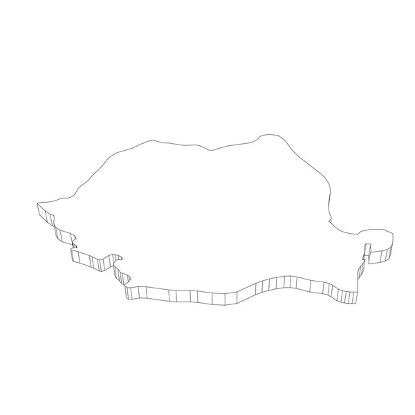
Romania - 3D black thin outline silhouette map of country area. Simple flat vector illustration
Romania - 3D black thin outline silhouette map of country area. Simple flat vector illustration — Stock Vector
Map of trip on the forests.
Map of trip on the forests. — Stock Vector
Illustrated Country Shape of Argentina
Illustrated Country Shape of Argentina — Stock Vector
Madaba governorate map, administrative division of Jordan.
Madaba Governorate Map Administrative Division Jordan — Stock Vector
Two versions of a folded map of Illinois with the flag of the country of Illinois and with the red color highlighted.
Two Versions Folded Map Illinois Flag Country Illinois Red Color — Stock Vector
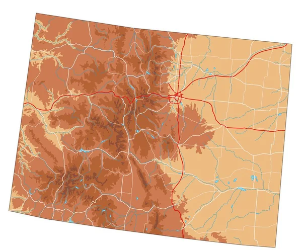
High detailed Colorado physical map.
High Detailed Colorado Physical Map — Stock Vector
Black flat blank highlighted location map of the SAINT-GERVAIS QUARTER inside gray administrative map of the 4th arrondissement (de l'Htel-de-Ville), Paris, France
Black Flat Blank Highlighted Location Map Saint Gervais Quarter Gray — Stock Vector
Generic map
Generic map — Stock Vector
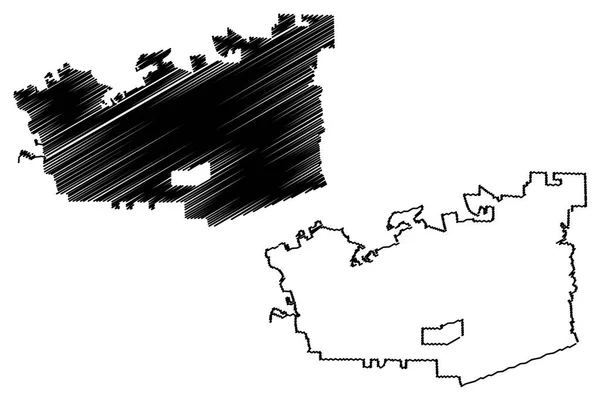
Chattanooga City (United States cities, United States of America, usa city) map vector illustration, scribble sketch City of Chattanooga map
Chattanooga City (United States cities, United States of America, usa city) map vector illustration, scribble sketch City of Chattanooga map — Stock Vector
Zabljak Municipality map, administrative subdivision of Montenegro. Vector illustration.
Zabljak Municipality Map Administrative Subdivision Montenegro Vector Illustration — Stock Vector
Map vector illustration isolated on white background
Map Vector Illustration Isolated White Background — Stock Vector
Sewing pattern icon
Sewing pattern icon — Stock Vector
Cooperation hands people icon in Outline style
Cooperation Hands People Icon Outline Style — Stock Vector
Roadmap
Roadmap — Stock Vector
West Dunbartonshire map, council area of Scotland. Vector illustration.
West Dunbartonshire Map Council Area Scotland Vector Illustration — Stock Vector
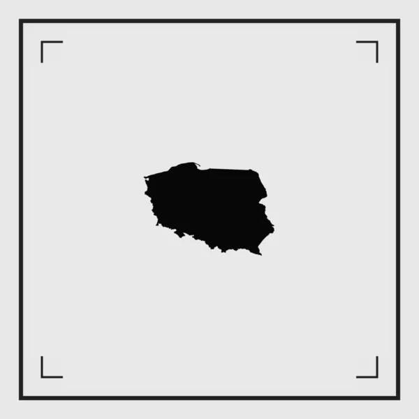
Illustrated Country Shape of Poland
Illustrated Country Shape of Poland — Stock Vector
Austria - solid black outline border map of country area. Simple flat vector illustration
Austria - solid black outline border map of country area. Simple flat vector illustration — Stock Vector
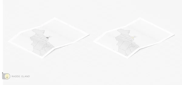
Set of two realistic map of Rhode Island with shadow. The flag and map of Rhode Island in isometric style.
Set Two Realistic Map Rhode Island Shadow Flag Map Rhode — Stock Vector
Karabuk province map, administrative divisions of Turkey. Vector illustration.
Karabuk Province Map Administrative Divisions Turkey Vector Illustration — Stock Vector
Geneva map, Cantons of Switzerland. Vector illustration.
Geneva Map Cantons Switzerland Vector Illustration — Stock Vector
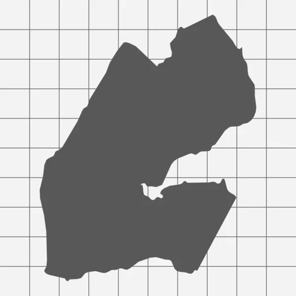
Squared Paper with the Shape of the Country of Djibouti
Squared Paper with the Shape of the Country of  Djibouti — Stock Vector
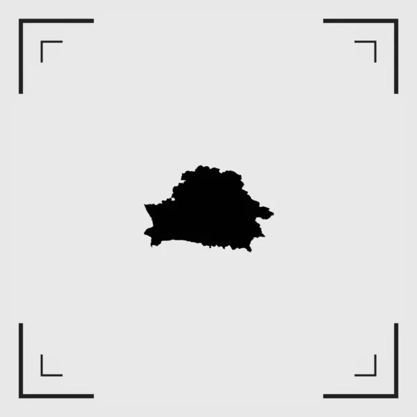
Illustrated Country Shape of Belarus
Illustrated Country Shape of Belarus — Stock Vector
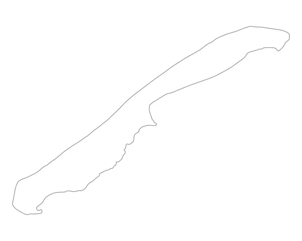
Accurate map of Vlieland
Accurate map of Vlieland — Stock Vector
Bangladesh country outline icon in outline style
Bangladesh Country Outline Icon Outline Style — Stock Vector
Vector Seamless background
Vector Seamless background — Stock Vector
Illustrated Country Shape of Norway
Illustrated Country Shape of Norway — Stock Vector
Pasco map, region in Peru. Vector Illustration.
Pasco Map Region Peru Vector Illustration — Stock Vector
Liberia - solid black outline border map of country area. Simple flat vector illustration
Liberia - solid black outline border map of country area. Simple flat vector illustration — Stock Vector
Gilan province map, administrative division of Iran. Vector illustration.
Gilan Province Map Administrative Division Iran Vector Illustration — Stock Vector
Topographic Relief Peaks and Valleys Map of US Federal State of Pennsylvania
Topographic Relief Peaks Valleys Map Federal State Pennsylvania — Stock Vector
Siirt province map, administrative divisions of Turkey. Vector illustration.
Siirt Province Map Administrative Divisions Turkey Vector Illustration — Stock Vector
Illustrated Country Shape of Ukraine
Illustrated Country Shape of Ukraine — Stock Vector
Ouargla Province map vecto
Ouargla Province map vecto — Stock Vector
Thin Line Pirate Treasure Map Background Card. Vector
Thin Line Pirate Treasure Map Background Card. Vector — Stock Vector
Lebanon - solid black outline border map of country area. Simple flat vector illustration
Lebanon - solid black outline border map of country area. Simple flat vector illustration — Stock Vector
Pixel map of Angola. Vector illustration.
Pixel Map Angola Vector Illustration — Stock Vector
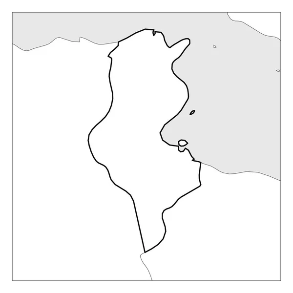
Map of Tunisia black thick outline highlighted with neighbor countries
Map of Tunisia black thick outline highlighted with neighbor countries — Stock Vector
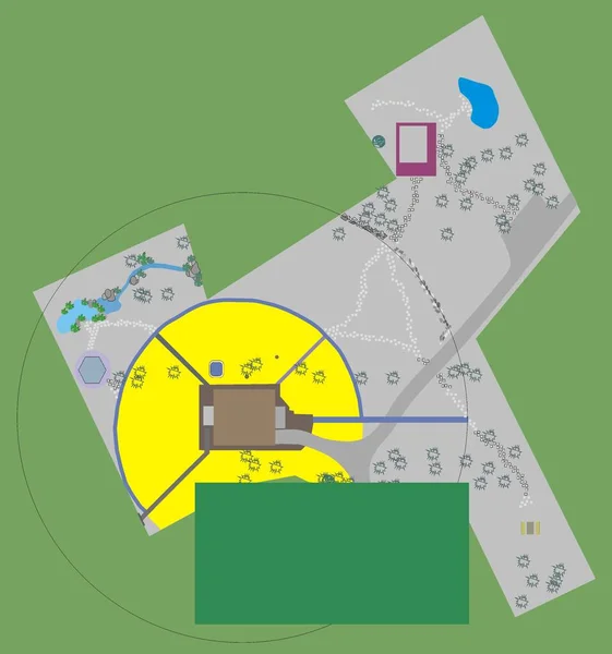
Plan of the site to the house landscaping design
Plan Site House Landscaping Design — Stock Vector
Illustrated Country Shape of Slovakia
Illustrated Country Shape of Slovakia — Stock Vector
Godomey City (Republic of Benin, Atlantique Department) map vector illustration, scribble sketch City of Godomey map
Godomey City Republic Benin Atlantique Department Map Vector Illustration Scribble — Stock Vector
Country Shape Illustration of Djibouti
Country Shape Illustration of Djibouti — Stock Vector
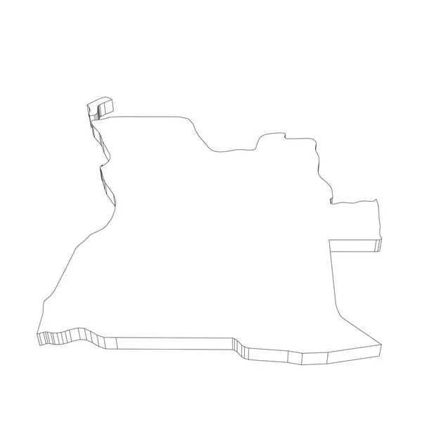
Angola - 3D black thin outline silhouette map of country area. Simple flat vector illustration
Angola - 3D black thin outline silhouette map of country area. Simple flat vector illustration — Stock Vector
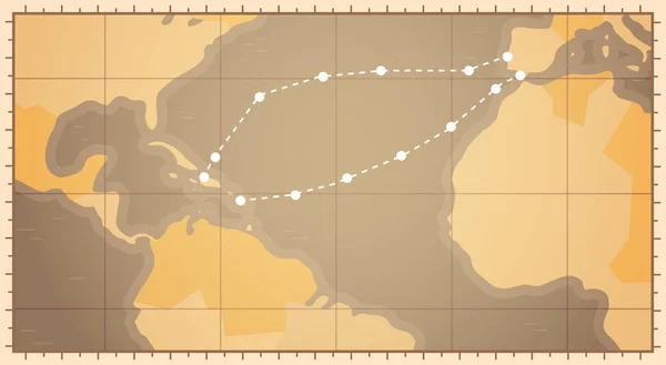
Retro World Map With Columbus Route Happy Colombo Day National Usa Holiday Concept
Retro World Map With Columbus Route Happy Colombo Day National Usa Holiday Concept — Stock Vector
Bosnian Podrinje canton map, administrative district of Federation of Bosnia and Herzegovina. Vector illustration.
Bosnian Podrinje Canton Map Administrative District Federation Bosnia Herzegovina Vector — Stock Vector
New Hampshire map. New Hampshire linear style. linear icon
New Hampshire Map New Hampshire Linear Style Linear Icon — Stock Vector
Vector Paper Scroll with Map
Vector Paper Scroll with Map — Stock Vector
Lithuania - solid black outline border map of country area. Simple flat vector illustration
Lithuania - solid black outline border map of country area. Simple flat vector illustration — Stock Vector
Treasure map
Treasure map — Stock Vector
Black flat blank highlighted location map of the BELLEVILLE QUARTER inside gray administrative map of the 20th arrondissement (de Mnilmontant), Paris, France
Black Flat Blank Highlighted Location Map Belleville Quarter Gray Administrative — Stock Vector
Map of Lake Starnberg
Map of Lake Starnberg — Stock Vector
Lake Huechulafquen, Paimun and Epulafquen (South America, Argentine Republic, Argentina) map vector illustration, scribble sketch Lago map
Lake Huechulafquen Paimun Epulafquen South America Argentine Republic Argentina Map — Stock Vector
Black flat blank highlighted location map of the SAINT-GERMAIN-L'AUXERROIS QUARTER inside gray administrative map of the 1st arrondissement (Du Louvre), Paris, France
Black Flat Blank Highlighted Location Map Saint Germain Auxerrois Quarter — Stock Vector
Brunei broneo island icon in Outline style
Brunei Broneo Island Icon Outline Style — Stock Vector
Accurate map of Togo
Accurate map of Togo — Stock Vector

A Highway Map Vector: Finding the Perfect Image for Your Project

If you're looking for a highway map vector, then you've come to the right place. We offer a variety of high-quality vector images in JPG, AI, and EPS formats that can be used for a range of projects. Whether you're designing a poster, creating a brochure, or building a website, our vector images can provide the visual appeal you need.

What is a Vector Image?

Vector images are unique in that they are not made up of pixels like other image files. Instead, they are created using mathematical equations that define lines, shapes, and colors. This means that they can be infinitely enlarged or reduced without losing quality or becoming pixilated. Vector images are the perfect type of image for projects like highway maps because you can zoom in as close as you need without losing clarity.

Choosing the Right Highway Map Vector for Your Project

When choosing a highway map vector for your project, it's important to consider your specific needs. Think about the size you require, the amount of detail you need, and the colors that will work best with your design. For example, if you need a detailed map that includes small towns and cities, then you'll want an image with high resolution and intricate details. On the other hand, if you're looking for a more straightforward highway map, then a simpler design may be more suitable.

The Benefits of Using Vector Images

There are several benefits to using vector images, including their scalability and resolution. When you enlarge a vector image, it maintains its quality, which is not possible with pixel-based images. Additionally, vector images offer greater flexibility in terms of editing and customization. You can easily adjust colors, shapes, and lines to suit your needs. Lastly, vector images are ideal for print materials like brochures and posters because they can be printed at any size without losing quality or becoming blurry.

Where to Use a Highway Map Vector

Highway map vectors can be used in a variety of projects and contexts. They are especially useful for websites that feature driving directions or maps of specific areas. Real estate and travel companies can incorporate highway map vectors into their advertising, while educational institutions can use them for lesson plans. Regardless of your project, our highway map vectors can add the visual appeal you need to engage your audience.

Now that you know the benefits of using highway map vectors and how to choose the right one for your project, it's time to start designing. Explore our selection of vector images today to find the perfect fit for your next creative endeavor.