North arrow Stock Vector Images

100,000 North arrow vector art & graphics are available under a royalty-free license

  • Best Match
  • Fresh
  • Popular
1-100 of 100,000
Wind direction
Wind direction — Stock Vector
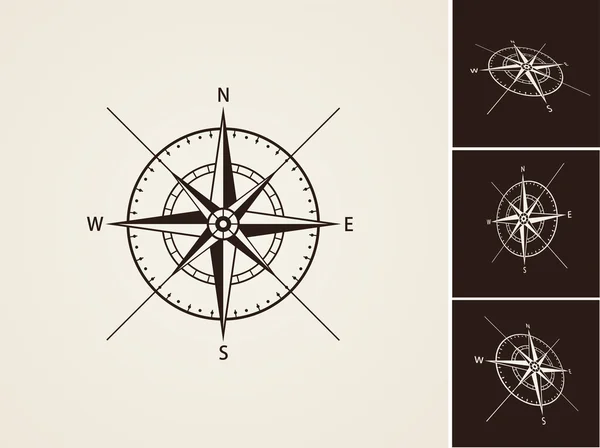
Compass Rose Vector Collection
Compass Rose Vector Collection — Stock Vector
Compass and map colored icons on white background.
Compass and map colored icons on white background. — Stock Vector
North direction compass icon on white background.
North direction compass icon on white background. — Stock Vector
Compass symbol isolated on white for design
Compass Symbol Isolated White Design — Stock Vector
North direction compass icons
North direction compass icons — Stock Vector
Compass icons on white background.
Compass icons on white background. — Stock Vector
Compass rose navigation cartography travel explore equipment icons set line design icon
Compass rose navigation cartography travel explore equipment icons set line design icon — Stock Vector
Up arrow icon
Up arrow icon — Stock Vector
Pictograph of compass icon
Pictograph of compass icon — Stock Vector
Compass icons.
Compass icons. — Stock Vector
Wind rose compass
Wind rose compass — Stock Vector
Compass wind rose in vintage style. flat icon. vector illustration isolated
Compass wind rose in vintage style. flat icon. vector illustration isolated — Stock Vector
Set of vintage woods camp badges and travel logo hand drawn emblems nature mountain camp outdoor vector illustration.
Set of vintage woods camp badges and travel logo hand drawn emblems nature mountain camp outdoor vector illustration. — Stock Vector
Magnetic compass with a smiley face
Magnetic compass with a smiley face — Stock Vector
Set of 3d wind roses
Set of 3d wind roses — Stock Vector
North direction compass icon.
North direction compass icon. — Stock Vector
Wind rose collection
Wind rose collection — Stock Vector
Vector Elegant Compass Logo
Vector Elegant Compass Logo — Stock Vector
Compass
Compass — Stock Vector
Wind rose sign. Cristmas design red icon on gold background.
Wind rose sign. Cristmas design red icon on gold background. — Stock Vector
Pictograph of compass navigation
Pictograph of compass navigation — Stock Vector
Black flat blank highlighted location map of the LA VALLE-DU-RICHELIEU Regional County Municipality inside gray administrative map of Montrgie, Quebec, Canada
Black Flat Blank Highlighted Location Map Valle Richelieu Regional County — Stock Vector
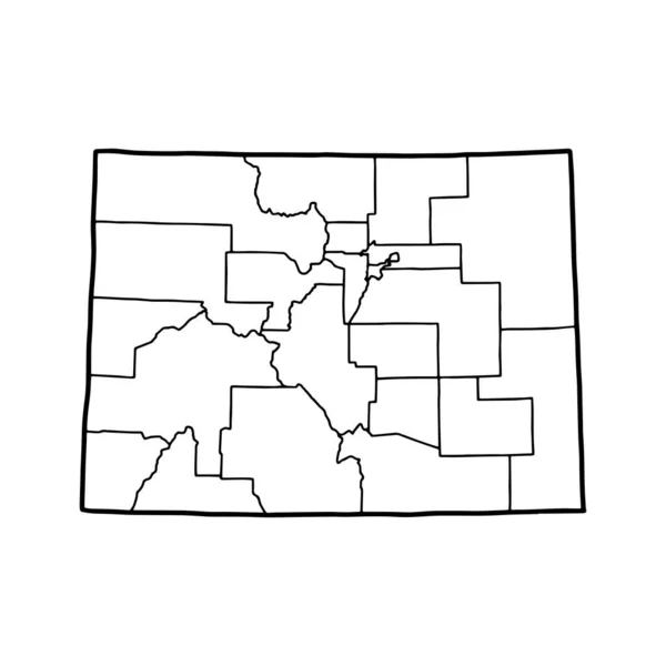
Outline map of Colorado white background. USA state, vector map with contour.
Outline Map Colorado White Background Usa State Vector Map Contour — Stock Vector
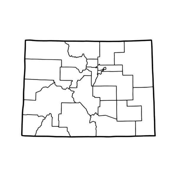
Outline map of Wyoming white background. USA state, vector map with contour.
Outline Map Wyoming White Background Usa State Vector Map Contour — Stock Vector
Map of Garfield in Washington
Map Garfield Washington — Stock Vector
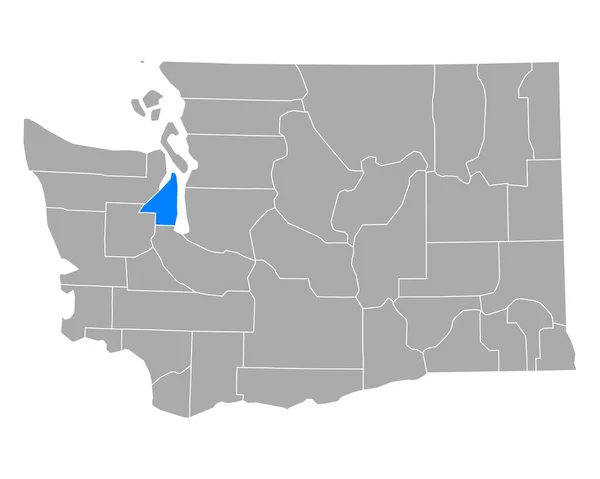
Map of Island in Washington
Map Island Washington — Stock Vector
Washington and Wayne County, Ohio State (U.S. county, United States of America, USA, U.S., US) map vector illustration, scribble sketch map
Washington Wayne County Ohio State County United States America Usa — Stock Vector
District Municipality of Muskoka (Canada, Ontario Province, North America) map vector illustration, scribble sketch Northumberland Muskoka map
District Municipality Muskoka Canada Ontario Province North America Map Vector — Stock Vector
Wayne County, Missouri (U.S. county, United States of America, USA, U.S., US) map vector illustration, scribble sketch Wayne map
Wayne County Missouri County United States America Usa Map Vector — Stock Vector
Map of Marshall in Minnesota
Map Marshall Minnesota — Stock Vector
Accurate map of Washington
Accurate map of Washington — Stock Vector
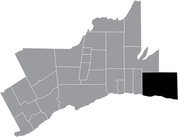
Black flat blank highlighted location map of the HALTON HILLS MUNICIPALITY inside gray administrative map of Greater Toronto Area
Black Flat Blank Highlighted Location Map Halton Hills Municipality Gray — Stock Vector
Accurate map of Wyoming
Accurate map of Wyoming — Stock Vector
Pulaski County, Arkansas (U.S. county, United States of America,USA, U.S., US) map vector illustration, scribble sketch Pulaski map
Pulaski County, Arkansas (U.S. county, United States of America,USA, U.S., US) map vector illustration, scribble sketch Pulaski map — Stock Vector
Black highlighted location map of the Macon County inside gray administrative map of the Federal State of Tennessee, USA
Black Highlighted Location Map Macon County Gray Administrative Map Federal — Stock Vector
Black flat blank highlighted location map of the PIERRE-DE SAUREL Regional County Municipality inside gray administrative map of Montrgie, Quebec, Canada
Black Flat Blank Highlighted Location Map Pierre Saurel Regional County — Stock Vector
Black highlighted location map of the Hickman County inside gray administrative map of the Federal State of Tennessee, USA
Black Highlighted Location Map Hickman County Gray Administrative Map Federal — Stock Vector
Black flat blank highlighted location map of the LES JARDINS-DE-NAPIERVILLE Regional County Municipality inside gray administrative map of Montrgie, Quebec, Canada
Black Flat Blank Highlighted Location Map Les Jardins Napierville Regional — Stock Vector
Black highlighted location map of the Greeley County inside gray map of the Federal State of Nebraska, USA
Black Highlighted Location Map Greeley County Gray Map Federal State — Stock Vector
Map of Garfield in Washington
Map Garfield Washington — Stock Vector
Nebraska map shape, united states of america. Flat concept icon symbol vector illustration .
Nebraska Map Shape United States America Flat Concept Icon Symbol — Stock Vector
Map of Island in Washington
Map Island Washington — Stock Vector
Map of Columbia in Washington
Map Columbia Washington — Stock Vector
Map of Beaver in Utah
Map Beaver Utah — Stock Vector
Clay County, Georgia (U.S. county, United States of America,USA, U.S., US) map vector illustration, scribble sketch Clay map
Clay County Georgia County United States America Usa Map Vector — Stock Vector
Hot Spring County, Arkansas (U.S. county, United States of America,USA, U.S., US) map vector illustration, scribble sketch Hot Spring map
Hot Spring County, Arkansas (U.S. county, United States of America,USA, U.S., US) map vector illustration, scribble sketch Hot Spring map — Stock Vector
Tompkins County, New York State (U.S. county, United States of America, USA, U.S., US) map vector illustration, scribble sketch Tompkins map
Tompkins County New York State County United States America Usa — Stock Vector
Black flat blank highlighted location map of the UXBRIDGE MUNICIPALITY inside gray administrative map of Greater Toronto Area
Black Flat Blank Highlighted Location Map Uxbridge Municipality Gray Administrative — Stock Vector
Washington map shape, united states of america. Flat concept icon symbol vector illustration .
Washington Map Shape United States America Flat Concept Icon Symbol — Stock Vector
A part of usa map with states on white background
Part Usa Map States White Background — Stock Vector
Grey Flat Election Counties Map of the USA Federal State of Idaho
Grey Flat Election Counties Map Usa Federal State Idaho — Stock Vector
Gray flat blank vector administrative map of the municipalities of MONTRGIE, QUEBEC, CANADA with white border lines of its municipalities
Gray Flat Blank Vector Administrative Map Municipalities Montrgie Quebec Canada — Stock Vector
Black highlighted location map of the Coffee County inside gray administrative map of the Federal State of Tennessee, USA
Black Highlighted Location Map Coffee County Gray Administrative Map Federal — Stock Vector
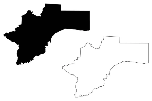
Otjozondjupa Region (Regions of Namibia, Republic of Namibia) map vector illustration, scribble sketch Otjozondjupa map
Otjozondjupa Region (Regions of Namibia, Republic of Namibia) map vector illustration, scribble sketch Otjozondjupa map — Stock Vector
Black highlighted location map of the Illinoisan Lawrence County inside gray map of the Federal State of Illinois, USA
Black Highlighted Location Map Illinoisan Lawrence County Gray Map Federal — Stock Vector
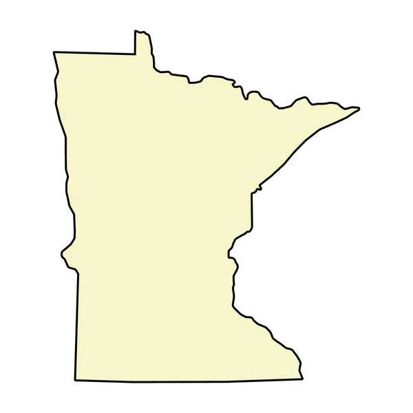
Minnesota map shape, united states of america. Flat concept icon symbol vector illustration .
Minnesota Map Shape United States America Flat Concept Icon Symbol — Stock Vector
Black flat blank highlighted location map of the CLARINGTON MUNICIPALITY inside gray administrative map of Greater Toronto Area
Black Flat Blank Highlighted Location Map Clarington Municipality Gray Administrative — Stock Vector
North Las Vegas City ( United States cities, United States of America, usa city) map vector illustration, scribble sketch City of North Las Vegas map
North Las Vegas City ( United States cities, United States of America, usa city) map vector illustration, scribble sketch City of North Las Vegas map — Stock Vector
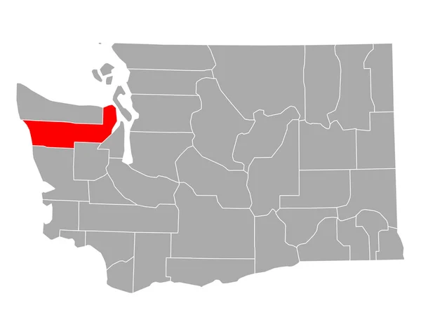
Map of Jefferson in Washington
Map Jefferson Washington — Stock Vector
Map of Okaloosa in Florida
Map Okaloosa Florida — Stock Vector
Accurate map of Wyoming
Accurate map of Wyoming — Stock Vector
Idaho map shape, united states of america. Flat concept icon symbol vector illustration .
Idaho Map Shape United States America Flat Concept Icon Symbol — Stock Vector
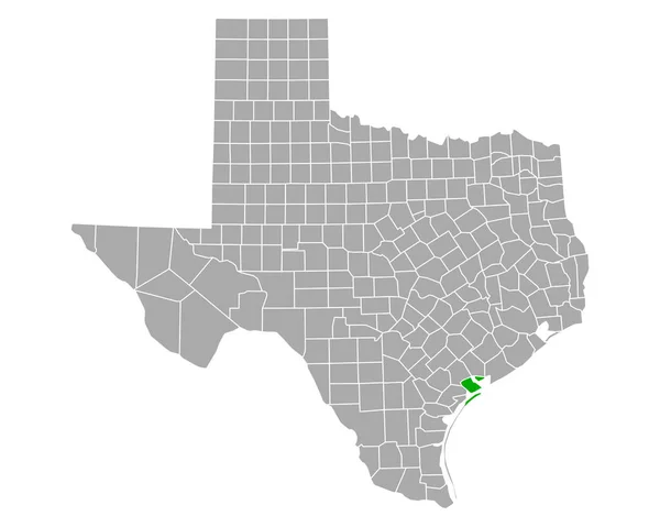
Map of Calhoun in Texas
Map Calhoun Texas — Stock Vector
Black highlighted location map of the Lewis County inside gray administrative map of the Federal State of Tennessee, USA
Black Highlighted Location Map Lewis County Gray Administrative Map Federal — Stock Vector
Black highlighted location map of the Wilson County inside gray administrative map of the Federal State of Tennessee, USA
Black Highlighted Location Map Wilson County Gray Administrative Map Federal — Stock Vector
Carson City, Nevada (U.S. county, United States of America, USA, U.S., US) map vector illustration, scribble sketch Consolidated Municipality of Carson City map
Carson City Nevada County United States America Usa Map Vector — Stock Vector
Teton County, Montana (U.S. county, United States of America, USA, U.S., US) map vector illustration, scribble sketch Teton map
Teton County Montana County United States America Usa Map Vector — Stock Vector
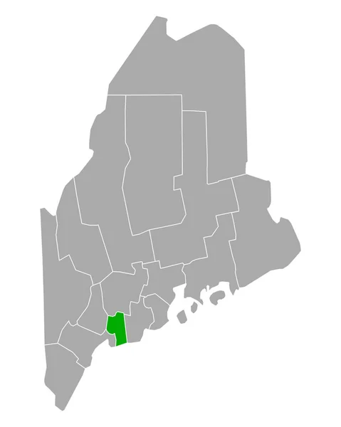
Map of Sagadahoc in Maine
Map Sagadahoc Maine — Stock Vector
Montana map shape, united states of america. Flat concept icon symbol vector illustration .
Montana Map Shape United States America Flat Concept Icon Symbol — Stock Vector
Wright County, Minnesota (U.S. county, United States of America, USA, U.S., US) map vector illustration, scribble sketch Wright map
Wright County Minnesota County United States America Usa Map Vector — Stock Vector
Black highlighted location map of the Grundy County inside gray administrative map of the Federal State of Tennessee, USA
Black Highlighted Location Map Grundy County Gray Administrative Map Federal — Stock Vector
Map of Kitsap in Washington
Map Kitsap Washington — Stock Vector
Map of Fremont in Wyoming
Map Fremont Wyoming — Stock Vector
Accurate map of Wyoming
Accurate map of Wyoming — Stock Vector
Black highlighted location map of the Colfax County inside gray map of the Federal State of Nebraska, USA
Black Highlighted Location Map Colfax County Gray Map Federal State — Stock Vector
Black highlighted location map of the Colfax County inside gray map of the Federal State of Nebraska, USA
Black Highlighted Location Map Colfax County Gray Map Federal State — Stock Vector
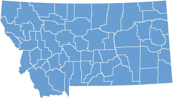
Montana state map with counties. Vector illustration.
Montana State Map Counties Vector Illustration — Stock Vector
Black flat blank highlighted location map of the BEAUHARNOIS-SALABERRY Regional County Municipality inside gray administrative map of Montrgie, Quebec, Canada
Black Flat Blank Highlighted Location Map Beauharnois Salaberry Regional County — Stock Vector
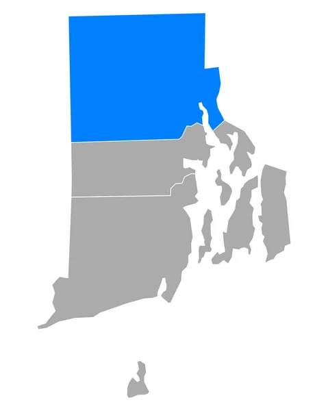
Map of Providence in Rhode Island
Map Providence Rhode Island — Stock Vector
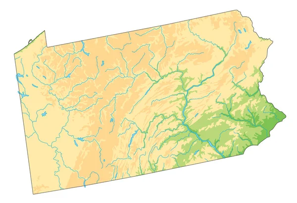
High detailed Pennsylvania physical map.
High Detailed Pennsylvania Physical Map — Stock Vector
Dougherty County, Georgia (U.S. county, United States of America,USA, U.S., US) map vector illustration, scribble sketch Dougherty map
Dougherty County Georgia County United States America Usa Map Vector — Stock Vector
Map of Hinsdale in Colorado
Map Hinsdale Colorado — Stock Vector
Black flat blank highlighted location map of the BROME-MISSISQUOI Regional County Municipality inside gray administrative map of Montrgie, Quebec, Canada
Black Flat Blank Highlighted Location Map Brome Missisquoi Regional County — Stock Vector
Map of Lewis in Washington
Map Lewis Washington — Stock Vector
Black highlighted location map of the Trousdale County inside gray administrative map of the Federal State of Tennessee, USA
Black Highlighted Location Map Trousdale County Gray Administrative Map Federal — Stock Vector
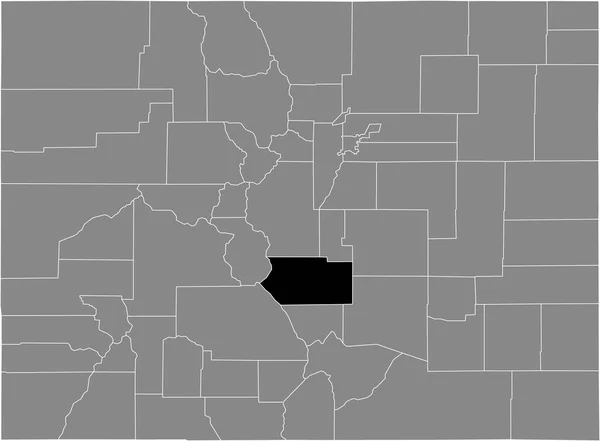
Black highlighted location map of the US Fremont county inside gray map of the Federal State of Colorado, USA
Black Highlighted Location Map Fremont County Gray Map Federal State — Stock Vector
Gray vector map of the Federal State of Nebraska, USA with white borders of its counties
Gray Vector Map Federal State Nebraska Usa White Borders Its — Stock Vector
Grey Flat Election Counties Map of the USA Federal State of Georgia
Grey Flat Election Counties Map Usa Federal State Georgia — Stock Vector
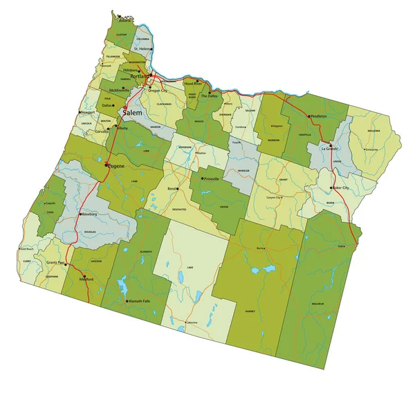
Highly detailed editable political map with separated layers. Oregon.
Highly Detailed Editable Political Map Separated Layers Oregon — Stock Vector
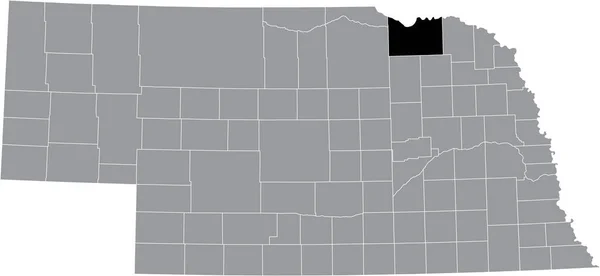
Black highlighted location map of the Knox County inside gray map of the Federal State of Nebraska, USA
Black Highlighted Location Map Knox County Gray Map Federal State — Stock Vector
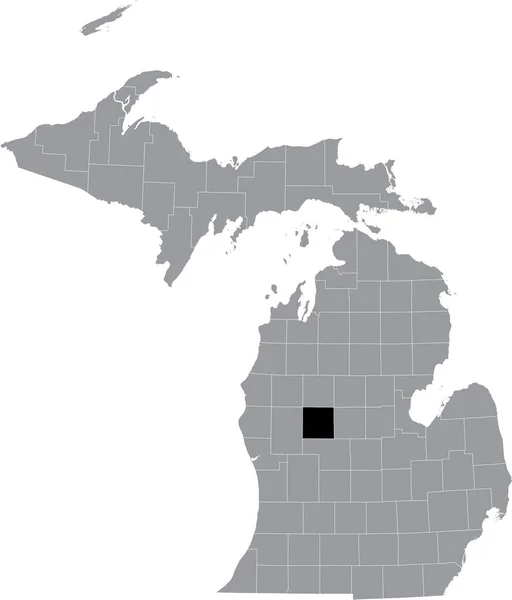
Black highlighted location map of the Mecosta County inside gray map of the Federal State of Michigan, USA
Black Highlighted Location Map Mecosta County Gray Map Federal State — Stock Vector
Black flat blank highlighted location map of the ROUSSILLON Regional County Municipality inside gray administrative map of Montrgie, Quebec, Canada
Black Flat Blank Highlighted Location Map Roussillon Regional County Municipality — Stock Vector
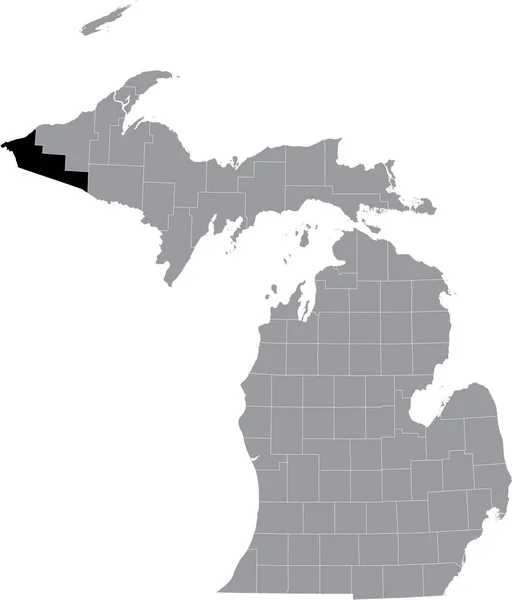
Black highlighted location map of the Gogebic County inside gray map of the Federal State of Michigan, USA
Black Highlighted Location Map Gogebic County Gray Map Federal State — Stock Vector
Map of Juab in Utah
Map Juab Utah — Stock Vector
Sumter County, Georgia (U.S. county, United States of America,USA, U.S., US) map vector illustration, scribble sketch Sumter map
Sumter County Georgia County United States America Usa Map Vector — Stock Vector
Map of San Miguel in Colorado
Map San Miguel Colorado — Stock Vector
Black highlighted location map of the Dakota County inside gray map of the Federal State of Nebraska, USA
Black Highlighted Location Map Dakota County Gray Map Federal State — Stock Vector
Highly Detailed Nevada Blind Map.
Highly Detailed Nevada Blind Map — Stock Vector
Black highlighted location map of the Humphreys County inside gray administrative map of the Federal State of Tennessee, USA
Black Highlighted Location Map Humphreys County Gray Administrative Map Federal — Stock Vector

North Arrow Vector Images: Professional and Accurate Designs

Vector images are an essential component of any design project, and North Arrow Vector images are no exception. They help to create a clear and concise representation of direction and orientation in various plans and designs. North Arrow Vector images are available in three file formats: JPG, AI, and EPS. These images are commonly used in architectural, engineering, and construction fields to help designers and constructors navigate their way through plans and create accurate and efficient designs.

Benefits of using North Arrow Vector Images in your Designs

Using a North Arrow Vector image in your design project offers numerous benefits. These images are customizable, scalable, and available in various file formats. They give you the freedom to change the size, color, and angle of the arrows, allowing you to perfectly fit them into your design. North Arrow Vector images also provide a clear and easy-to-understand visual representation of direction and orientation that can be easily interpreted by everyone involved in the project.

Another benefit of using North Arrow Vector images is their accuracy. The vectors are designed to match the exact location and direction of north, ensuring that your designs remain precise and accurate. This quality makes them especially useful in projects that require a high level of accuracy, such as engineering diagrams and site plans.
Where to Use North Arrow Vector Images

North Arrow Vector images are a perfect fit for all kinds of design projects, including but not limited to architectural plans, engineering diagrams, topographical maps, and site plans. They are also useful in outdoor activities such as hiking, camping and exploring, as they help to indicate directions and ensure that you remain on track.

It's important to note that North Arrow Vector images shouldn't be overused or used purely for visual purposes. They should be used in situations where accuracy and clear direction is crucial to the success of the project. When using North Arrow Vector images, it's best to ensure that they are correctly placed and positioned so that they don't create any doubt about the correct orientation of the plan or design.

Choosing the Right North Arrow Vector Image for Your Project

With a wide variety of North Arrow Vector images available, it's essential to choose the right one that fits your project's specific needs. When selecting a North Arrow Vector image, consider the size of the project, the scale of the design, and the purpose of the image. Ensure that the image matches the colors, style and overall visual elements of your project, so that it blends seamlessly with the design.

In summary, North Arrow Vector images are an essential visual element in design projects that require accurate and clear direction. They are customizable, scalable and accurate, and available in various file formats, making them easily usable in all kinds of design projects. When using North Arrow Vector images, it's important to select the right image that fits your project's specific needs and ensuring that it's correctly placed and positioned to avoid any confusion.