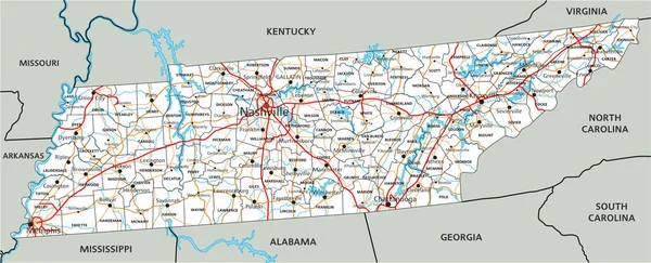
Tennessee road vector map
Tennessee Road Vector Map — Stock Vector
Map of Tennessee
Map of Tennessee — Stock Vector
Tennessee map
Tennessee map — Stock Vector
Tennessee
Tennessee — Stock Vector
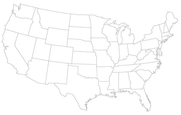
US map cover vector
US map cover vector — Stock Vector
Tennessee outline map set
Tennessee outline map set — Stock Vector
Tennessee state map polygonal with spot lights places
Tennessee state map polygonal with spot lights places — Stock Vector
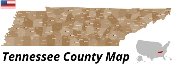
Tennessee County Map
Tennessee County Map — Stock Vector
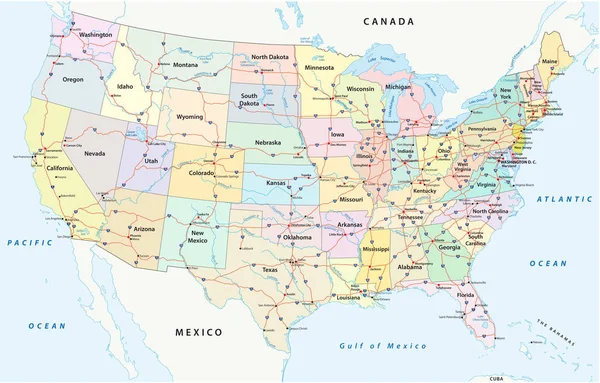
Us interstate highway, administrative and political vector map
Interstate Highway Administrative Political Vector Map — Stock Vector
Tennessee silhouette map
Tennessee silhouette map — Stock Vector
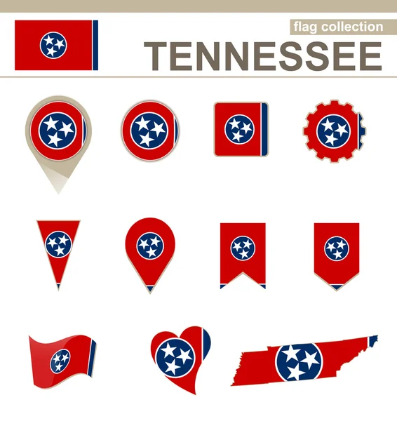
Tennessee Flag Collection
Tennessee Flag Collection — Stock Vector
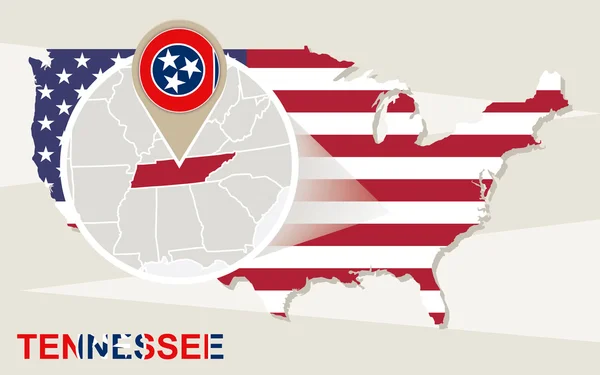
USA map with magnified Tennessee State. Tennessee flag and map.
USA map with magnified Tennessee State. Tennessee flag and map. — Stock Vector
Road map of the US American State of Tennessee
Road Map American State Tennessee — Stock Vector
Road map with flag of kentucky
Road map with flag of kentucky — Stock Vector
South Dakota, Tennessee travel stickers with scenic attractions and retro text on vintage suitcase background
South Dakota, Tennessee travel stickers with scenic attractions and retro text on vintage suitcase background — Stock Vector
Blue map of Tennessee with indication of Nashville
Blue map of Tennessee with indication of Nashville — Stock Vector
Tennessee USA state map tag cloud vector illustration
Tennessee USA state map tag cloud vector illustration — Stock Vector
Map of the U.S. state of Tennessee
Map of the U.S. state of Tennessee — Stock Vector
Georgia vector map silhouette. High detailed illustration. United state of America country
Georgia vector map silhouette. High detailed illustration. United state of America country — Stock Vector
Ismailia Governorate (Governorates of Egypt, Arab Republic of Egypt) map vector illustration, scribble sketch Ismailia map
Ismailia Governorate Governorates Egypt Arab Republic Egypt Map Vector Illustration — Stock Vector
Baker County, Georgia (U.S. county, United States of America,USA, U.S., US) map vector illustration, scribble sketch Baker map
Baker County Georgia County United States America Usa Map Vector — Stock Vector
Grey Flat Election Counties Map of the USA Federal State of Georgia
Grey Flat Election Counties Map Usa Federal State Georgia — Stock Vector
Cherokee County, North Carolina State (U.S. county, United States of America, USA, U.S., US) map vector illustration, scribble sketch Cherokee map
Cherokee County North Carolina State County United States America Usa — Stock Vector
White vector administrative map of the Federal State of West Virginia, USA with black borders and name tags of its counties
White Vector Administrative Map Federal State West Virginia Usa Black — Stock Vector
Sioux and Stutsman County, North Dakota State (U.S. county, United States of America, USA, U.S., US) map vector illustration, scribble sketch map
Sioux Stutsman County North Dakota State County United States America — Stock Vector
Madison County, Mississippi (U.S. county, United States of America, USA, U.S., US) map vector illustration, scribble sketch Madison map
Madison County Mississippi County United States America Usa Map Vector — Stock Vector
Accurate map of USA
Accurate map of USA — Stock Vector
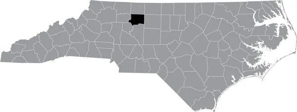
Black highlighted location map of the Forsyth County inside gray administrative map of the Federal State of North Carolina, USA
Black Highlighted Location Map Forsyth County Gray Administrative Map Federal — Stock Vector
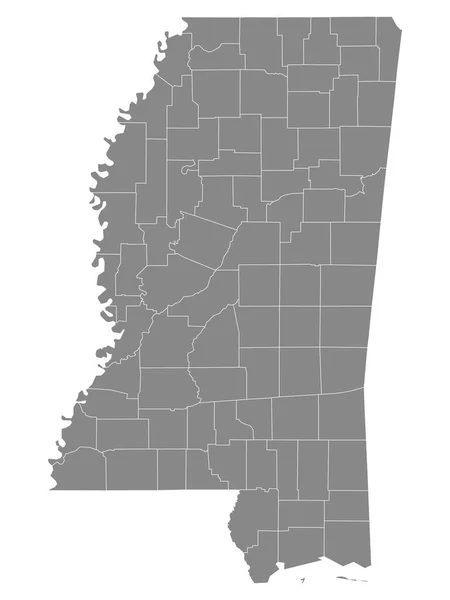
Gray Outline Counties Map of US State of Mississippi
Gray Outline Counties Map State Mississippi — Stock Vector
Map of Sequatchie in Tennessee
Map Sequatchie Tennessee — Stock Vector
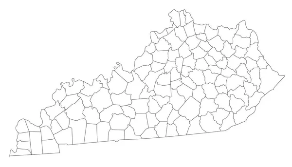
Highly Detailed Kentucky Blind Map.
Highly Detailed Kentucky Blind Map — Stock Vector
Map of tennessee state
Map Tennessee State — Stock Vector
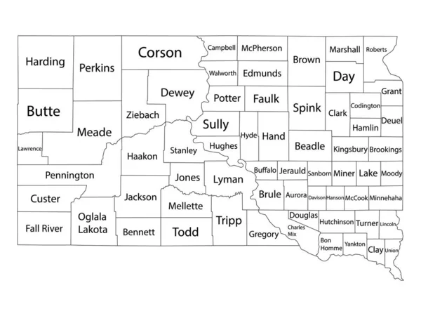
White Outline Counties Map With Counties Names of US State of South Dakota
White Outline Counties Map Counties Names State South Dakota — Stock Vector
High detailed Pennsylvania physical map.
High Detailed Pennsylvania Physical Map — Stock Vector
Tennessee TN state Map USA. Black silhouette and outline isolated maps on a white background. EPS Vector
Tennessee State Map Usa Black Silhouette Outline Isolated Maps White — Stock Vector
Simple stylized banner with map, vector illustration
Simple Stylized Banner Map Vector Illustration — Stock Vector
Tennessee - Highly detailed editable political map with labeling.
Tennessee Highly Detailed Editable Political Map Labeling — Stock Vector
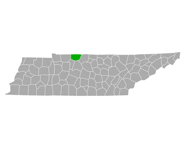
Black highlighted location map of the Hickman County inside gray administrative map of the Federal State of Tennessee, USA
Black Highlighted Location Map Hickman County Gray Administrative Map Federal — Stock Vector
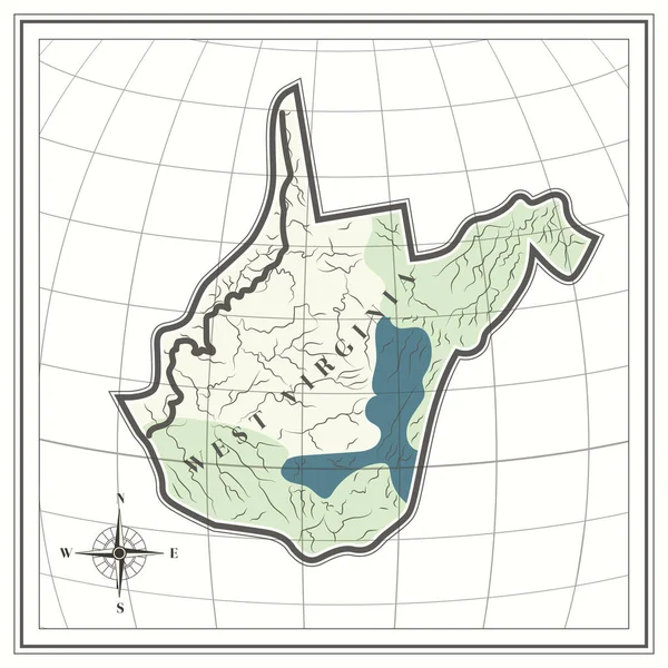
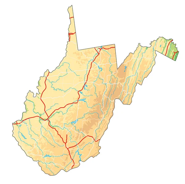
High detailed West Virginia physical map.
High Detailed West Virginia Physical Map — Stock Vector
Panjshir Province map vecto
Panjshir Province map vecto — Stock Vector
Black highlighted location map of the Loudon County inside gray administrative map of the Federal State of Tennessee, USA
Black Highlighted Location Map Loudon County Gray Administrative Map Federal — Stock Vector
Map of Mississippi in USA
Map of Mississippi in USA — Stock Vector
Map of Robertson in Tennessee
Map Robertson Tennessee — Stock Vector
Tennessee US state stencil map. Laser cutting template on transparent background. Die cut vector shape. Silhouette mockup for any purposes.
Tennessee State Stencil Map Laser Cutting Template Transparent Background Die — Stock Vector
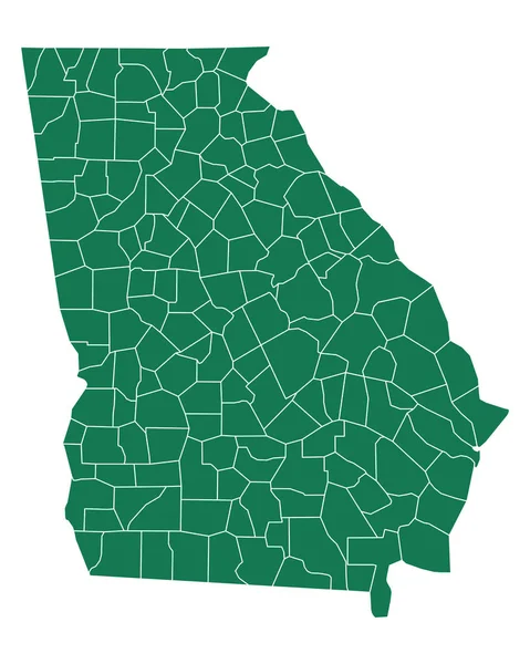
Accurate map of Georgia
Accurate map of Georgia — Stock Vector
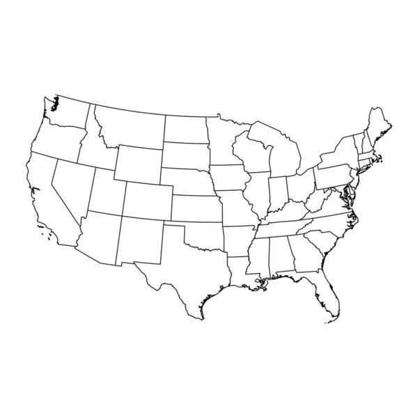
USA map with state borders. Vector illustration.
Usa Map State Borders Vector Illustration — Stock Vector
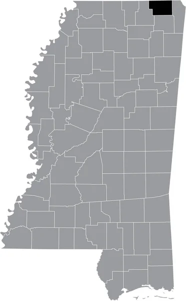
Black highlighted location map of the Alcorn County inside gray map of the Federal State of Mississippi, USA
Black Highlighted Location Map Alcorn County Gray Map Federal State — Stock Vector
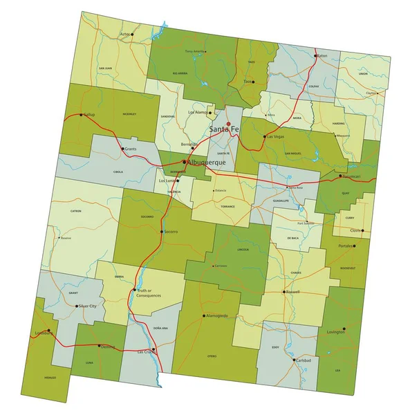
Highly detailed editable political map with separated layers. New Mexico.
Highly Detailed Editable Political Map Separated Layers New Mexico — Stock Vector
Black highlighted location map of the McDowell County inside gray administrative map of the Federal State of North Carolina, USA
Black Highlighted Location Map Mcdowell County Gray Administrative Map Federal — Stock Vector
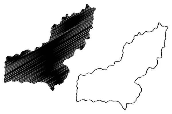
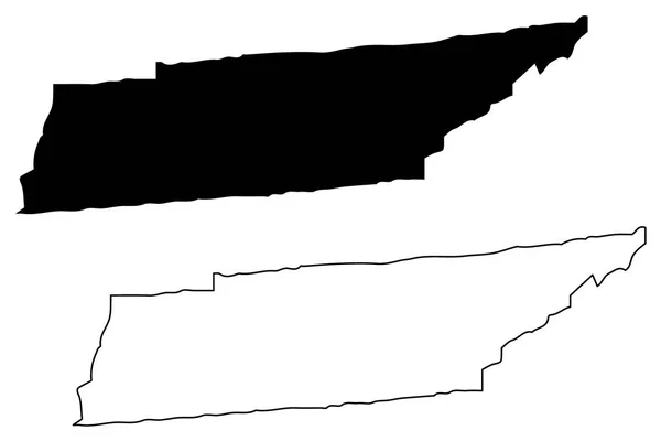
Tennessee map vector illustration, scribble sketch Tennessee map
Tennessee Map Vector Illustration Scribble Sketch Tennessee Map — Stock Vector
De Ronde Venen municipality (Kingdom of the Netherlands, Holland, Utrecht province) map vector illustration, scribble sketch map
Ronde Venen Municipality Kingdom Netherlands Holland Utrecht Province Map Vector — Stock Vector
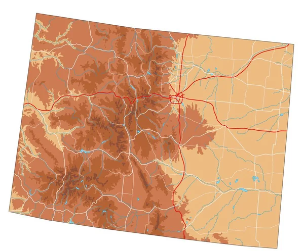
High detailed Colorado physical map.
High Detailed Colorado Physical Map — Stock Vector
Black highlighted location map of the Davie Countyinside gray administrative map of the Federal State of North Carolina, USA
Black Highlighted Location Map Davie Countyinside Gray Administrative Map Federal — Stock Vector
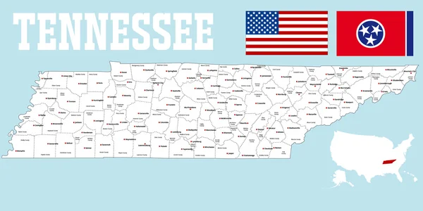
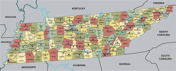
High detailed Tennessee road map with labeling.
High Detailed Tennessee Road Map Labeling — Stock Vector
Accurate map of Georgia
Accurate map of Georgia — Stock Vector
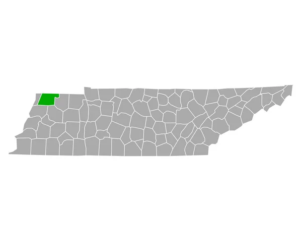
Map of Obion in Tennessee
Map Obion Tennessee — Stock Vector
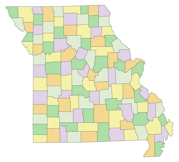
Missouri - Highly detailed editable political map.
Missouri Highly Detailed Editable Political Map — Stock Vector
Black highlighted location map of the Illinoisan Mason County inside gray map of the Federal State of Illinois, USA
Black Highlighted Location Map Illinoisan Mason County Gray Map Federal — Stock Vector
Russell County, Commonwealth of Virginia (U.S. county, United States of America, USA, U.S., US) map vector illustration, scribble sketch Russell map
Russell County Commonwealth Virginia County United States America Usa Map — Stock Vector
Washington County, Illinois (U.S. county, United States of America, USA, U.S., US) map vector illustration, scribble sketch Washington map
Washington County Illinois County United States America Usa Map Vector — Stock Vector
Map of Georgia in USA
Map of Georgia in USA — Stock Vector
Accurate map of Mississippi
Accurate map of Mississippi — Stock Vector
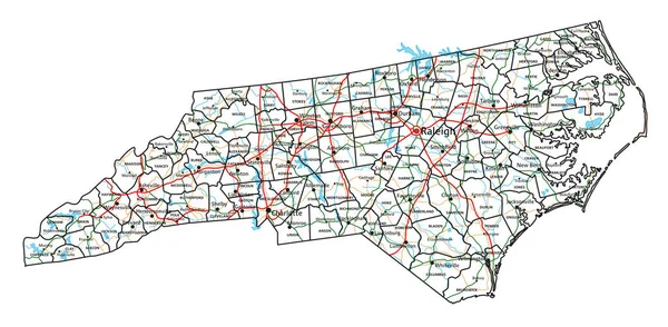
North Carolina road and highway map. Vector illustration.
North Carolina Road Highway Map Vector Illustration — Stock Vector
Accurate map of Georgia
Accurate map of Georgia — Stock Vector
Black highlighted location map of the Chatham County inside gray administrative map of the Federal State of North Carolina, USA
Black Highlighted Location Map Chatham County Gray Administrative Map Federal — Stock Vector
Accurate map of Missouri
Accurate map of Missouri — Stock Vector
Whiteside County, Illinois (U.S. county, United States of America, USA, U.S., US) map vector illustration, scribble sketch Whiteside map
Whiteside County Illinois County United States America Usa Map Vector — Stock Vector
Map of Chester in Tennessee
Map Chester Tennessee — Stock Vector
Accurate map of Georgia
Accurate map of Georgia — Stock Vector
Map of west virginia state
Map West Virginia State — Stock Vector
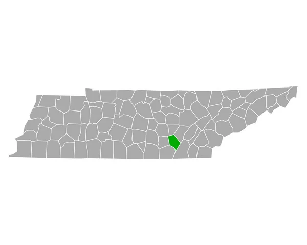
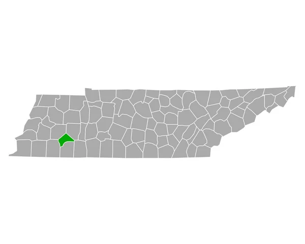
Black highlighted location map of the McMinn County inside gray administrative map of the Federal State of Tennessee, USA
Black Highlighted Location Map Mcminn County Gray Administrative Map Federal — Stock Vector
Southeast Fairbanks Census Area, Alaska (Boroughs and census areas in Alaska, United States of America,USA, U.S., US) map vector illustration, scribble sketch Southeast Fairbanks map
Southeast Fairbanks Census Area, Alaska (Boroughs and census areas in Alaska, United States of America,USA, U.S., US) map vector illustration, scribble sketch Southeast Fairbanks map — Stock Vector
Black highlighted location map of the Perry County inside gray administrative map of the Federal State of Tennessee, USA
Black Highlighted Location Map Perry County Gray Administrative Map Federal — Stock Vector
Holmes County, Florida (U.S. county, United States of America,USA, U.S., US) map vector illustration, scribble sketch Holmes map
Holmes County Florida County United States America Usa Map Vector — Stock Vector
Accurate map of Georgia
Accurate map of Georgia — Stock Vector
USA map. Very high accurate drawing. USA vector eps10
USA map. Very high accurate drawing. USA vector eps10 — Stock Vector
Venango County, Commonwealth of Pennsylvania (U.S. county, United States of America, USA, U.S., US) map vector illustration, scribble sketch Venango map
Venango County Commonwealth Pennsylvania County United States America Usa Map — Stock Vector
Black highlighted location map of the Coffee County inside gray administrative map of the Federal State of Tennessee, USA
Black Highlighted Location Map Coffee County Gray Administrative Map Federal — Stock Vector
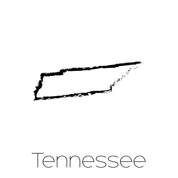
Scribbled shape of the State of Tennessee
Scribbled shape of the State of Tennessee — Stock Vector
Black highlighted location map of the Warren County inside gray administrative map of the Federal State of Tennessee, USA
Black Highlighted Location Map Warren County Gray Administrative Map Federal — Stock Vector
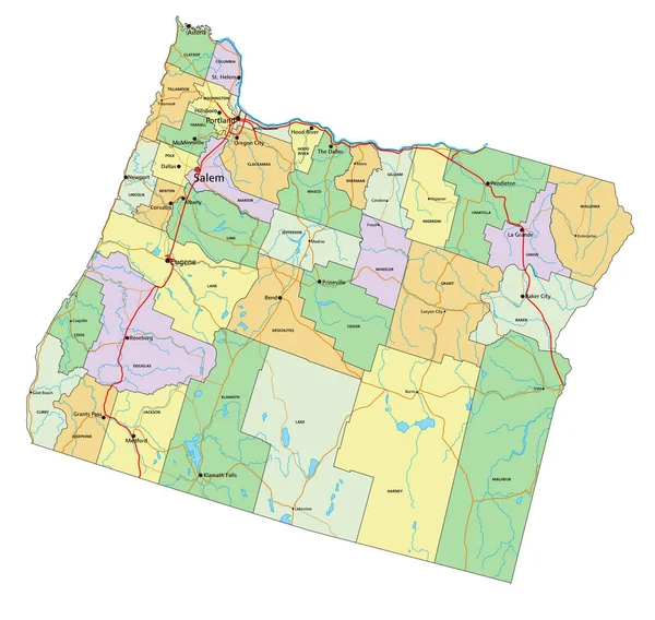
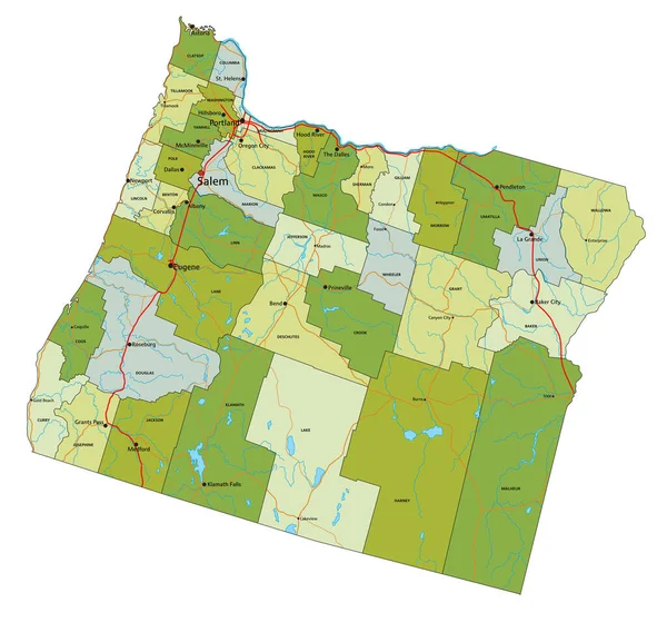
Oregon - Highly detailed editable political map with labeling.
Oregon Highly Detailed Editable Political Map Labeling — Stock Vector
Map of indiana state
Map Indiana State — Stock Vector
Accurate map of Georgia
Accurate map of Georgia — Stock Vector
Map of Tennessee in USA
Map of Tennessee in USA — Stock Vector
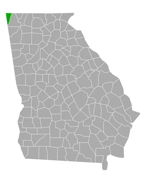
Map of Dade in Georgia
Map Dade Georgia — Stock Vector
Black highlighted location map of the Tunica County inside gray map of the Federal State of Mississippi, USA
Black Highlighted Location Map Tunica County Gray Map Federal State — Stock Vector
Delta County, Colorado (U.S. county, United States of America,USA, U.S., US) map vector illustration, scribble sketch Delta map
Delta County, Colorado (U.S. county, United States of America,USA, U.S., US) map vector illustration, scribble sketch Delta map — Stock Vector
Madison County, Mississippi (U.S. county, United States of America, USA, U.S., US) map vector illustration, scribble sketch Madison map
Madison County Mississippi County United States America Usa Map Vector — Stock Vector
Highly detailed editable political map with separated layers. Oregon.
Highly Detailed Editable Political Map Separated Layers Oregon — Stock Vector
Stencil map of Equatorial Guinea. Simple and minimal transparent map of Equatorial Guinea. Black rectangle with cut shape of the country. Artistic vector illustration.
Stencil Map Equatorial Guinea Simple Minimal Transparent Map Equatorial Guinea — Stock Vector
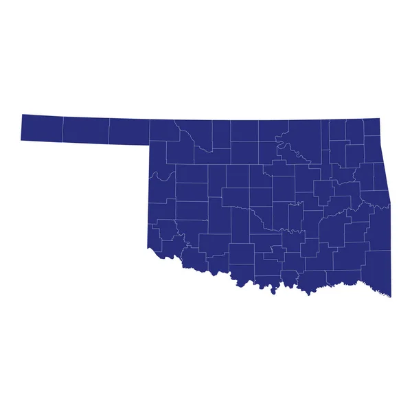
High Quality map of Oklahoma is a state of United States of America with borders of the counties
High Quality Map Oklahoma State United States America Borders Counties — Stock Vector
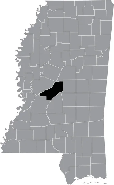
Black highlighted location map of the Madison County inside gray map of the Federal State of Mississippi, USA
Black Highlighted Location Map Madison County Gray Map Federal State — Stock Vector
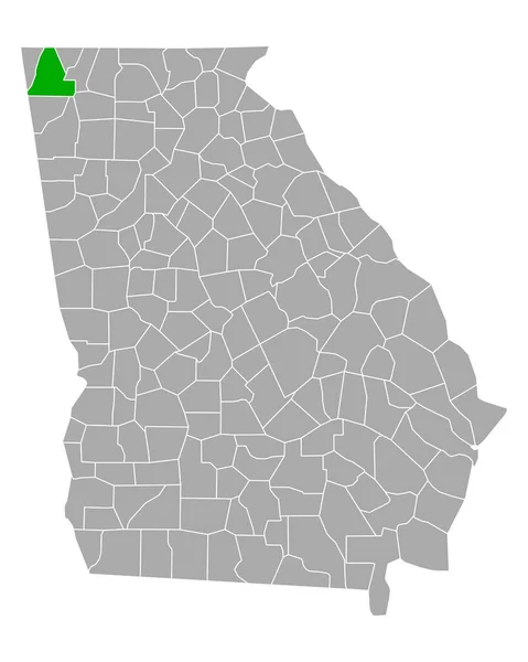
Map of Walker in Georgia
Map Walker Georgia — Stock Vector
White vector administrative map of the Federal State of Vermont, USA with black borders and name tags of its counties
White Vector Administrative Map Federal State Vermont Usa Black Borders — Stock Vector
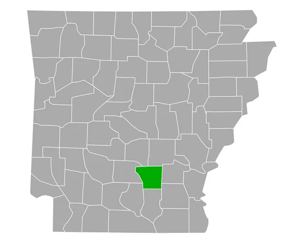
Map of Cleveland in Arkansas
Map Cleveland Arkansas — Stock Vector
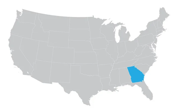
USA map with the indication of the State of Georgia
USA map with the indication of the State of Georgia — Stock Vector
Accurate map of Mississippi
Accurate map of Mississippi — Stock Vector

Tennessee Map Vector: Perfect for Your Next Design Project

Are you looking for a high-quality Tennessee map vector to use in your next design project? Look no further! We have a range of vector images available in JPG, AI, and EPS format that will make your designs stand out. Whether you need a map for a website, brochure, poster, or any other type of project, our vector images are the perfect choice.

The Benefits of Using Vector Images

Vector images are ideal for any design project as they maintain their quality no matter how large or small you make them. This is because vector images are created using mathematical equations rather than pixels. Not only do they maintain their quality, but they are also scalable, editable, and adaptable. This means you can easily adjust colors, shapes, and sizes without losing any quality.

Moreover, vector images are essential for any design project that requires print because they ensure that your images come out crisp and clear. This makes them perfect for brochures, flyers, business cards, and other printed marketing materials. Additionally, our vector images are compatible with various design software, including Adobe Illustrator, Photoshop, and CorelDRAW, which makes them easy to use.

What Types of Tennessee Map Vectors Are Available?

We offer a range of Tennessee maps, including black and white maps, colored maps, hand-drawn maps, and more. Our maps come in different styles, sizes, and resolutions to meet your design needs. Additionally, we offer maps of different regions of Tennessee, including Knoxville, Memphis, Nashville, Chattanooga, and more. This means you can choose a map that best suits your project and audience.

Additionally, our maps come with different features, including highways, rivers, cities, county lines, and more. This ensures that our maps are informative and visually appealing. Whether you are designing a travel brochure or a history book, our maps will make your designs come to life.

How to Use Tennessee Map Vector Images Correctly

To use Tennessee map vector images correctly, you need to ensure that you have the proper license to use them. When you purchase our vector images, you get a license that allows you to use them for personal and commercial purposes. However, you need to ensure that you read and understand the license agreement before using the images.

Additionally, you need to ensure that you use the images appropriately. For instance, you should not use images that are trademarked or copyrighted without permission. You should also ensure that you do not alter the images in a way that can change their meaning or make them offensive. Lastly, you need to ensure that you use images that are appropriate for your audience and project.

Conclusion

In conclusion, if you are looking for high-quality Tennessee map vectors, look no further. Our range of vector images offers a variety of maps that are perfect for any design project. From black and white maps to hand-drawn maps, our images will make your designs stand out. Moreover, our vector images are scalable, editable, and adaptable, making them perfect for any project. So why wait? Purchase our Tennessee map vector images today and take your designs to the next level!