Georgia map Stock Vector Images

100,000 Georgia map vector art & graphics are available under a royalty-free license

  • Best Match
  • Fresh
  • Popular
1-100 of 100,000
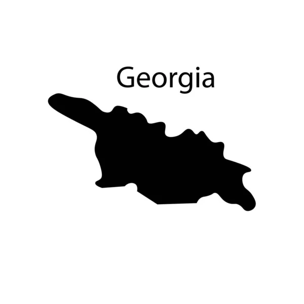
Georgia map
Georgia map — Stock Vector
Map of Georgia
Map of Georgia — Stock Vector
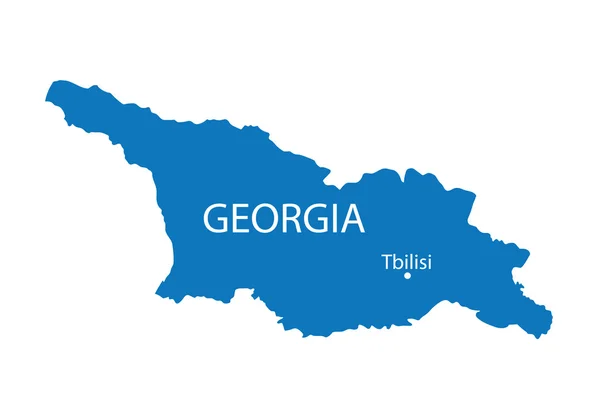
Blue map of Georgia
Blue map of Georgia — Stock Vector
Georgia map
Georgia map — Stock Vector
Georgia on Europe map
Georgia on Europe map — Stock Vector
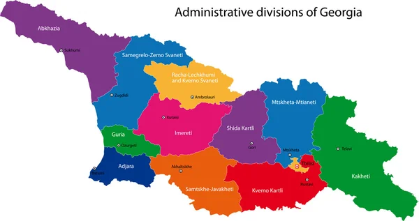
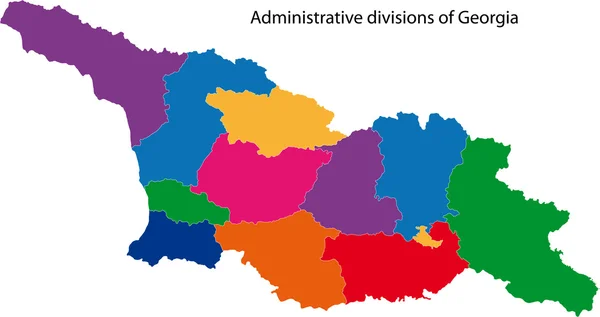
Colorful Georgia map
Colorful Georgia map — Stock Vector
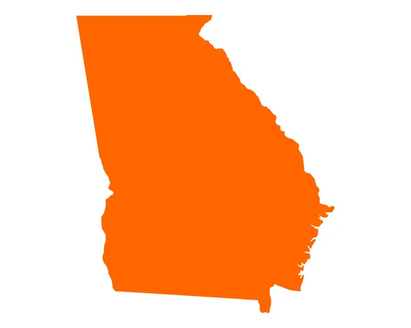
Map of the U.S. state of Georgia
Map of the U.S. state of Georgia — Stock Vector
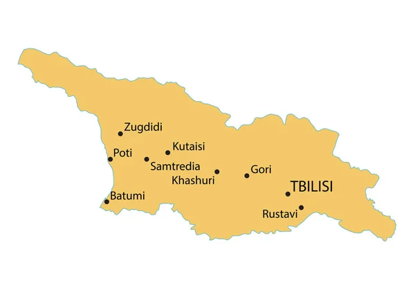
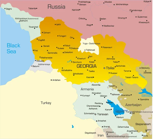
Yellow map of Georgia with indication of largest cities
Yellow map of Georgia with indication of largest cities — Stock Vector
Georgia
Georgia — Stock Vector
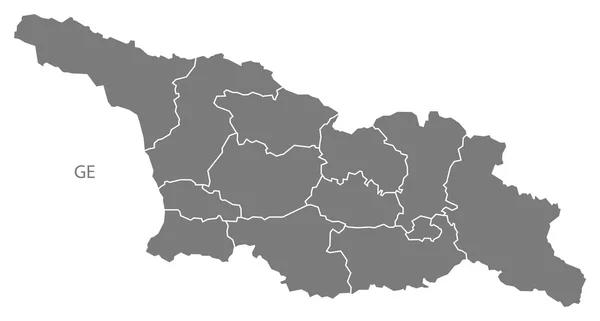
Georgia provinces Map grey
Georgia provinces Map grey — Stock Vector
Georgia world map with a pixel diamond texture.
Georgia world map with a pixel diamond texture. — Stock Vector
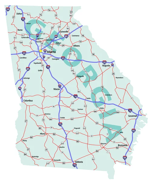
Georgia State Interstate Map
Georgia State Interstate Map — Stock Vector
Grey map of Georgia
Grey map of Georgia — Stock Vector
Georgia stamp
Georgia stamp — Stock Vector
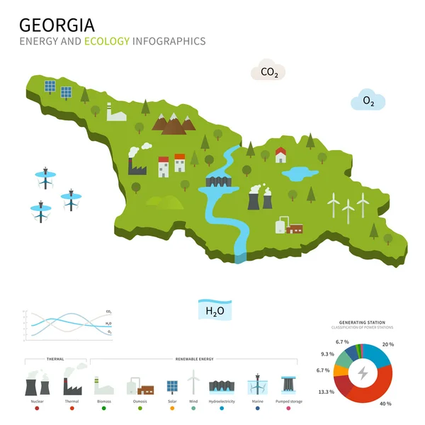
Energy industry and ecology of Georgia
Energy industry and ecology of Georgia — Stock Vector
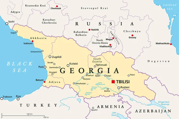
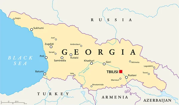
Georgia, political map, with capital Tbilisi, and international borders. Republic and transcontinental country in Eurasia, located south of the North Caucasus Federal District of Russia. Illustration.
Georgia Political Map Capital Tbilisi International Borders Republic Transcontinental Country — Stock Vector
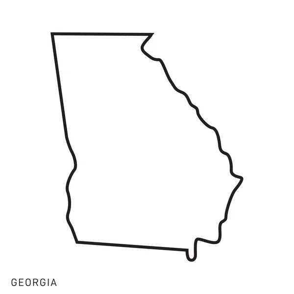
Georgia Map Vector Outline Design Template. Editable Stroke.
Georgia Map Vector Outline Design Template Editable Stroke — Stock Vector
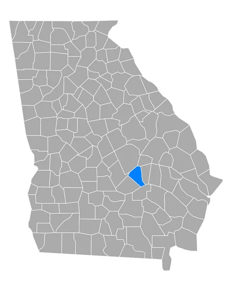
Map of Wheeler in Georgia
Map Wheeler Georgia — Stock Vector
Georgia Political Map
Georgia Political Map — Stock Vector
Georgia 3D
Georgia 3D — Stock Vector
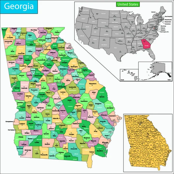
Map of Georgia state designed in illustration with the counties and the county seats.?
Map Georgia State Designed Illustration Counties County Seats — Stock Vector
Georgia map
Georgia map — Stock Vector
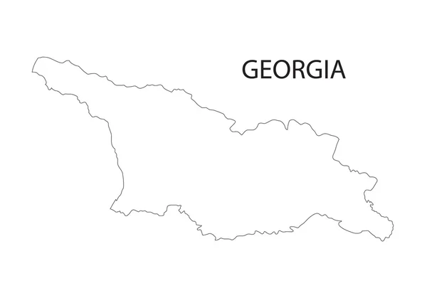
Outline of Georgia map
Outline of Georgia map — Stock Vector
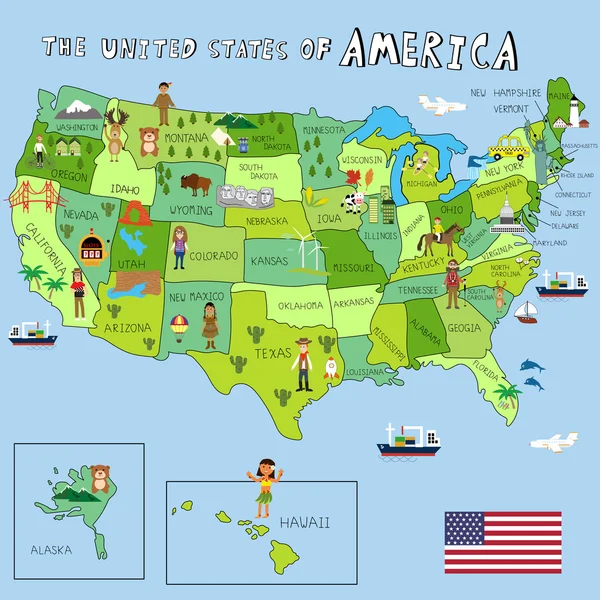
USA Pictures with federal states map vector illustration EPS10.
USA Pictures with federal states map vector illustration EPS10. — Stock Vector
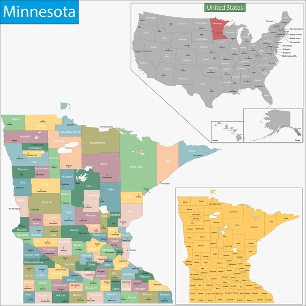
Minnesota map
Minnesota map — Stock Vector
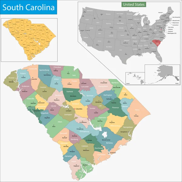
South Carolina map
South Carolina map — Stock Vector
Washington map
Washington map — Stock Vector
Michigan map
Michigan map — Stock Vector
Louisiana map
Louisiana map — Stock Vector
Tennessee map
Tennessee map — Stock Vector
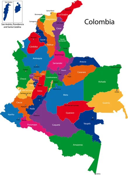
Colombia map
Colombia map — Stock Vector
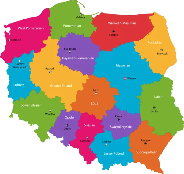
Color Poland map
Color Poland map — Stock Vector
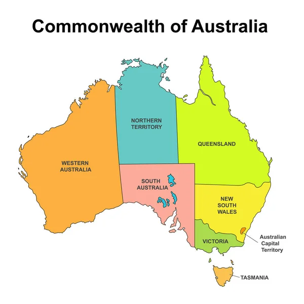
Map of Australia with internal regional boundaries, vector illustration
Map of Australia with internal regional boundaries, vector illustration — Stock Vector
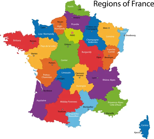
Colorful France map
Colorful France map — Stock Vector
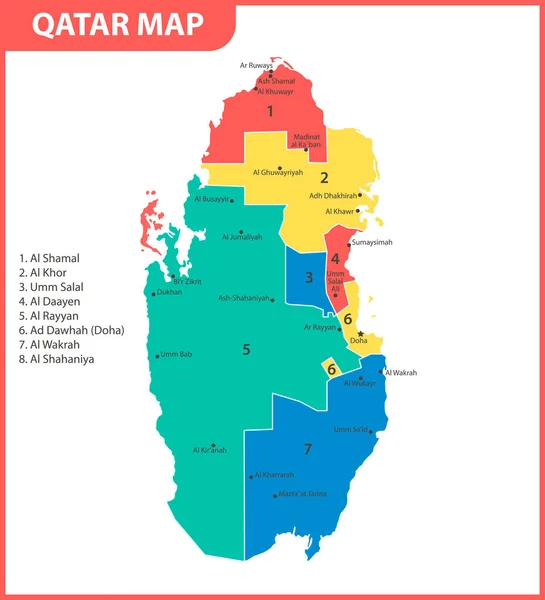
The detailed map of Qatar with regions or states and cities, capital. Administrative division
Detailed Map Qatar Regions States Cities Capital Administrative Division — Stock Vector
Kazakhstan - map and flag Detailed Vector Illustration
Kazakhstan - map and flag Detailed Vector Illustration — Stock Vector
Contour Georgia map
Contour Georgia map — Stock Vector
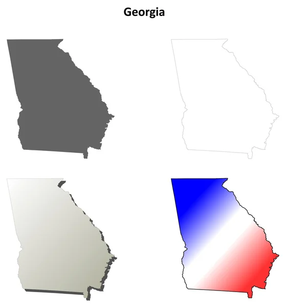
Georgia outline map set
Georgia outline map set — Stock Vector
Georgia map on white background
Georgia map on white background — Stock Vector
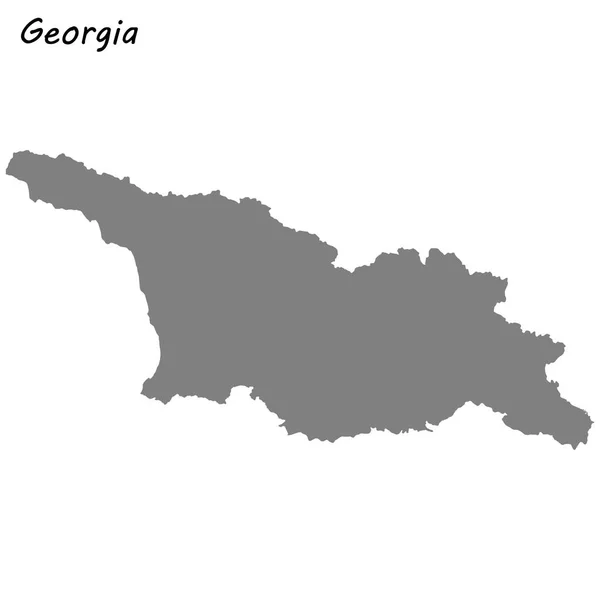
High quality map of Georgia
High Quality Map Georgia — Stock Vector
Ismailia Governorate (Governorates of Egypt, Arab Republic of Egypt) map vector illustration, scribble sketch Ismailia map
Ismailia Governorate Governorates Egypt Arab Republic Egypt Map Vector Illustration — Stock Vector
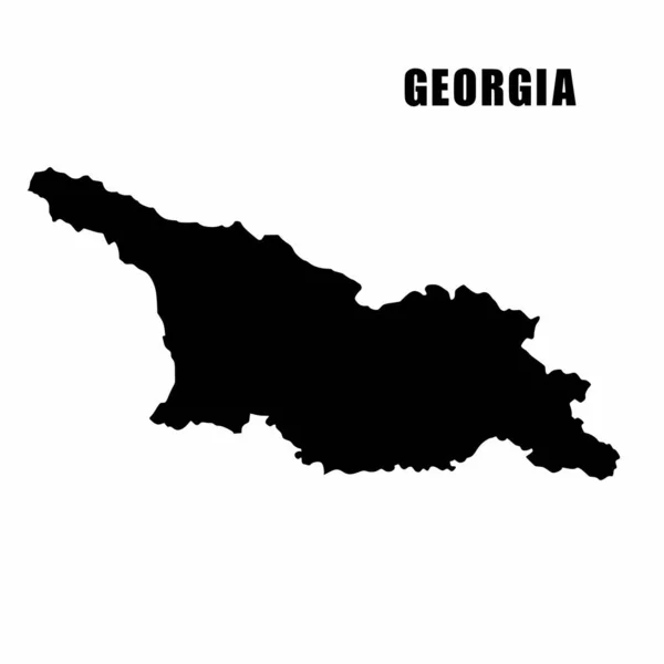
Vector illustration of outline map of Georgia. High-detail border map. Silhouette of a country map isolated on a white background. Map for infographic and geographic information.
Vector Illustration Outline Map Georgia High Detail Border Map Silhouette — Stock Vector
High quality map of Georgia . Vector illustration
High Quality Map Georgia Vector Illustration — Stock Vector
Ashley County, Arkansas (U.S. county, United States of America,USA, U.S., US) map vector illustration, scribble sketch Ashley map
Ashley County, Arkansas (U.S. county, United States of America,USA, U.S., US) map vector illustration, scribble sketch Ashley map — Stock Vector
Map of Walker in Georgia
Map Walker Georgia — Stock Vector
Georgia vector map silhouette. High detailed illustration. United state of America country
Georgia vector map silhouette. High detailed illustration. United state of America country — Stock Vector
Accurate map of Georgia
Accurate map of Georgia — Stock Vector
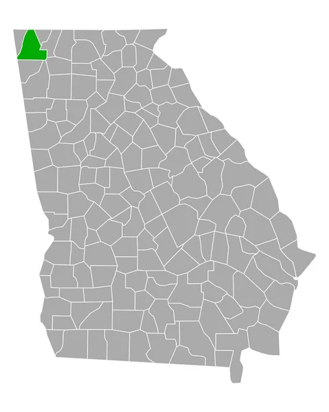
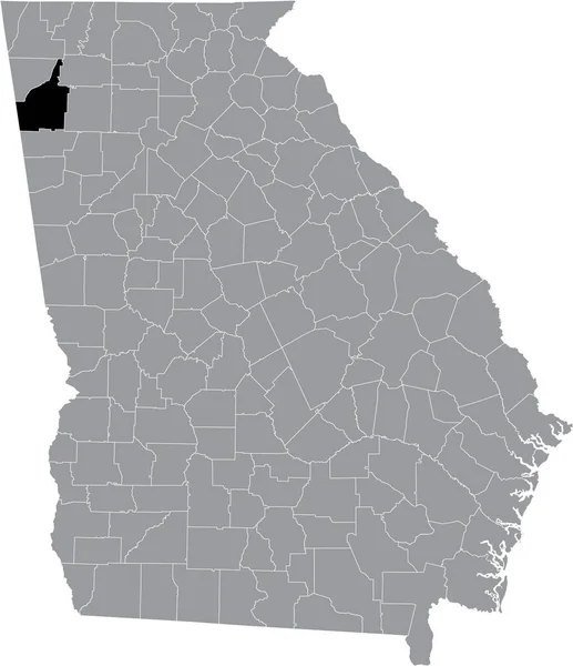
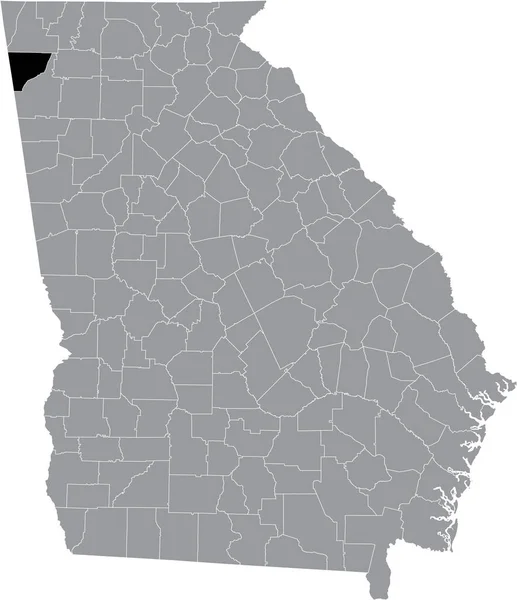
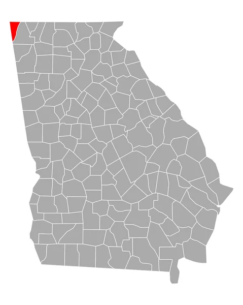
Black highlighted location map of the US Dade county inside gray map of the Federal State of Georgia, USA
Black Highlighted Location Map Dade County Gray Map Federal State — Stock Vector
Scribbled Shape of the Country of Georgia
Scribbled Shape of the Country of Georgia — Stock Vector
Green Map of Georgia With Outline Vector Design Template. Editable Stroke
Green Map Georgia Outline Vector Design Template Editable Stroke — Stock Vector
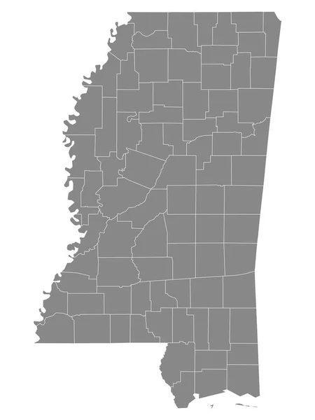
Gray Outline Counties Map of US State of Mississippi
Gray Outline Counties Map State Mississippi — Stock Vector
Accurate map of Georgia
Accurate map of Georgia — Stock Vector
Sioux and Stutsman County, North Dakota State (U.S. county, United States of America, USA, U.S., US) map vector illustration, scribble sketch map
Sioux Stutsman County North Dakota State County United States America — Stock Vector
Black highlighted location map of the US Rabun county inside gray map of the Federal State of Georgia, USA
Black Highlighted Location Map Rabun County Gray Map Federal State — Stock Vector
Accurate map of Georgia
Accurate map of Georgia — Stock Vector
Grey Flat Election Counties Map of the USA Federal State of Georgia
Grey Flat Election Counties Map Usa Federal State Georgia — Stock Vector
Squared Background with the country shape of Georgia
Squared Background with the country shape of Georgia — Stock Vector
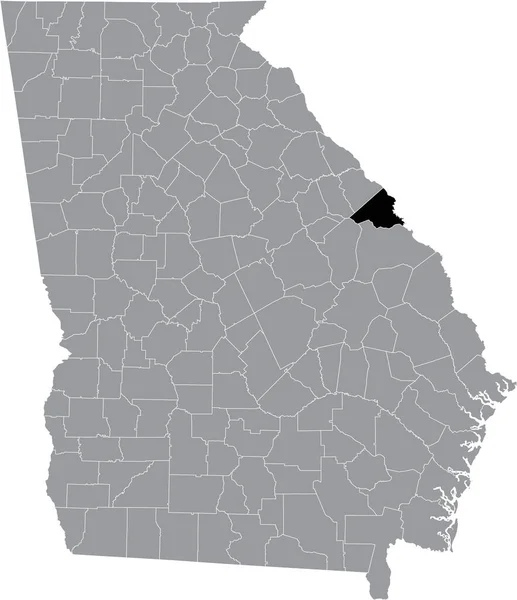
Black highlighted location map of the US Richmond county inside gray map of the Federal State of Georgia, USA
Black Highlighted Location Map Richmond County Gray Map Federal State — Stock Vector
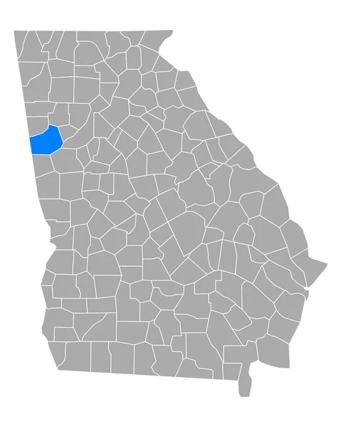
Map of Carroll in Georgia
Map Carroll Georgia — Stock Vector
High Quality map state of United States
High Quality map state of United States — Stock Vector
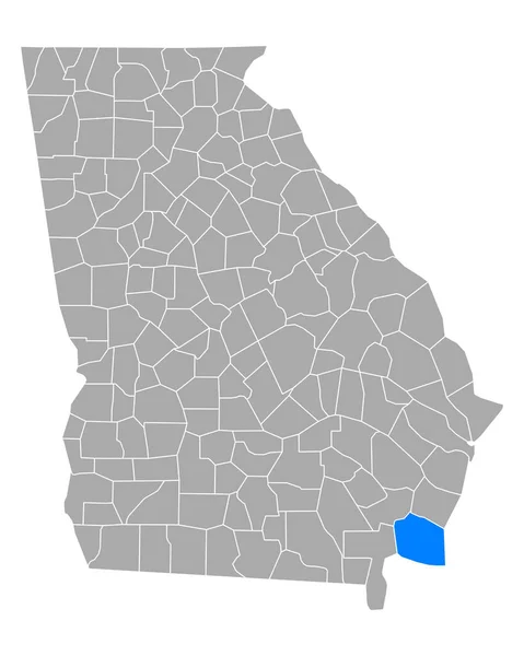
Map of Camden in Georgia
Map Camden Georgia — Stock Vector
Georgia map icon vector isolated on white background, logo concept of Georgia map sign on transparent background, filled black symbol
Georgia Map Icon Vector Isolated White Background Logo Concept Georgia — Stock Vector
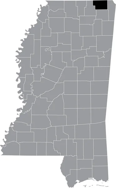
Black highlighted location map of the Alcorn County inside gray map of the Federal State of Mississippi, USA
Black Highlighted Location Map Alcorn County Gray Map Federal State — Stock Vector
Map of Quitman in Georgia
Map Quitman Georgia — Stock Vector
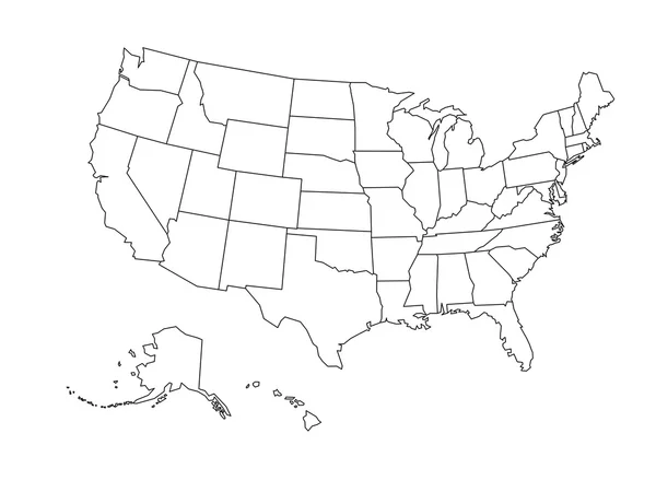
Blank outline map of USA
Blank outline map of USA — Stock Vector
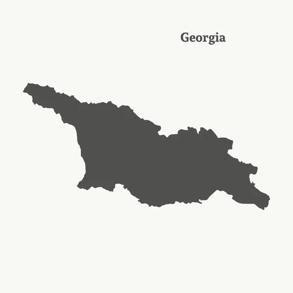
Outline map of Georgia. vector illustration.
Outline map of Georgia.  vector illustration. — Stock Vector
Country Shape isolated on background of the country of Georgia
Country Shape isolated on background of the country of Georgia — Stock Vector
Black highlighted location map of the US Floyd county inside gray map of the Federal State of Georgia, USA
Black Highlighted Location Map Floyd County Gray Map Federal State — Stock Vector
Accurate map of Georgia
Accurate map of Georgia — Stock Vector
White blank vector map of the Republic of Zambia with black borders of its provinces
White Blank Vector Map Republic Zambia Black Borders Its Provinces — Stock Vector
Shelby County, Texas (Counties in Texas, United States of America,USA, U.S., US) map vector illustration, scribble sketch Shelby map
Shelby County, Texas (Counties in Texas, United States of America,USA, U.S., US) map vector illustration, scribble sketch Shelby map — Stock Vector
Black highlighted location map of the US Chatham county inside gray map of the Federal State of Georgia, USA
Black Highlighted Location Map Chatham County Gray Map Federal State — Stock Vector
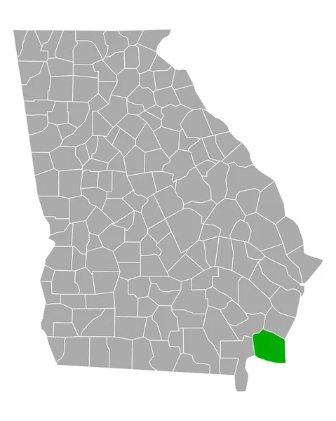
Black highlighted location map of the US Irwin county inside gray map of the Federal State of Georgia, USA
Black Highlighted Location Map Irwin County Gray Map Federal State — Stock Vector
Black highlighted location map of the US Union county inside gray map of the Federal State of Georgia, USA
Black Highlighted Location Map Union County Gray Map Federal State — Stock Vector
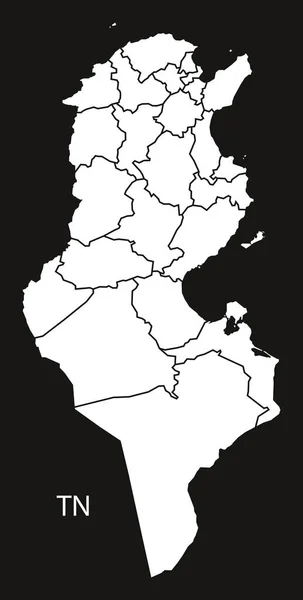
Tunisia governorates Map black and white
Tunisia governorates Map black and white — Stock Vector
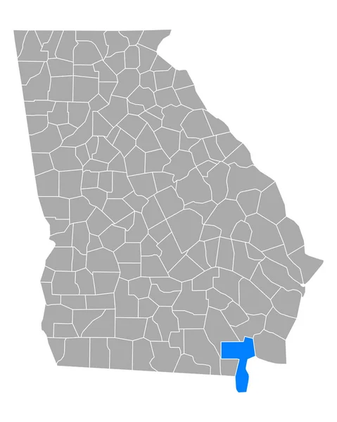
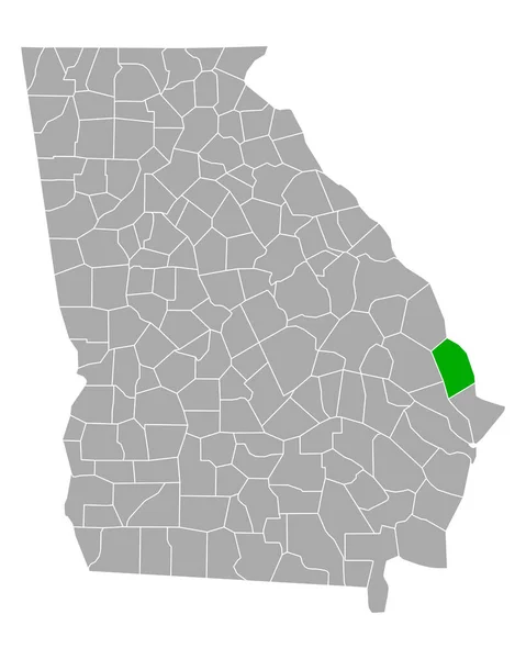
Map of Charlton in Georgia
Map Charlton Georgia — Stock Vector
Zambezi Region (Regions of Namibia, Republic of Namibia) map vector illustration, scribble sketch Caprivi Region map
Zambezi Region (Regions of Namibia, Republic of Namibia) map vector illustration, scribble sketch Caprivi Region map — Stock Vector
Map of Effingham in Georgia
Map Effingham Georgia — Stock Vector
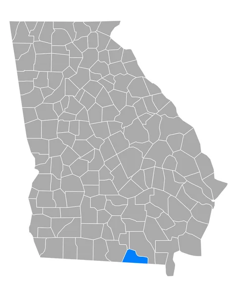
Map of Echols in Georgia
Map Echols Georgia — Stock Vector
USA map with state borders. Vector illustration.
Usa Map State Borders Vector Illustration — Stock Vector
Black highlighted location map of the US Chattooga county inside gray map of the Federal State of Georgia, USA
Black Highlighted Location Map Chattooga County Gray Map Federal State — Stock Vector
Map of Miller in Georgia
Map Miller Georgia — Stock Vector
Map of Thomas in Georgia
Map Thomas Georgia — Stock Vector
Black highlighted location map of the US Towns county inside gray map of the Federal State of Georgia, USA
Black Highlighted Location Map Towns County Gray Map Federal State — Stock Vector
Map of Walker in Georgia
Map Walker Georgia — Stock Vector
Gray Outline Counties Map of US State of Georgia
Gray Outline Counties Map State Georgia — Stock Vector
Accurate map of Georgia
Accurate map of Georgia — Stock Vector
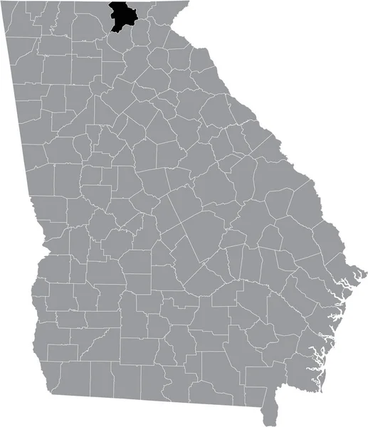
Black highlighted location map of the US Habersham county inside gray map of the Federal State of Georgia, USA
Black Highlighted Location Map Habersham County Gray Map Federal State — Stock Vector
Cruzeiro do Sul municipality (Acre state, Municipalities of Brazil, Federative Republic of Brazil) map vector illustration, scribble sketch Cruzeiro do Sul map
Cruzeiro Sul Municipality Acre State Municipalities Brazil Federative Republic Brazil — Stock Vector
Map of Floyd in Georgia
Map Floyd Georgia — Stock Vector
Map of Dade in Georgia
Map Dade Georgia — Stock Vector
Black highlighted location map of the US Walker county inside gray map of the Federal State of Georgia, USA
Black Highlighted Location Map Walker County Gray Map Federal State — Stock Vector
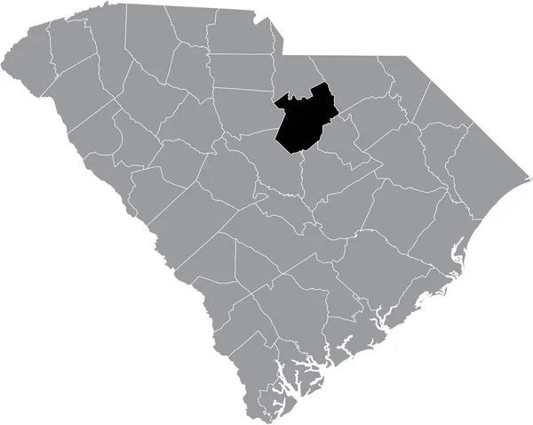
Black highlighted location map of the Kershaw County inside gray administrative map of the Federal State of South Carolina, USA
Black Highlighted Location Map Kershaw County Gray Administrative Map Federal — Stock Vector
Black highlighted location map of the Kemper County inside gray map of the Federal State of Mississippi, USA
Black Highlighted Location Map Kemper County Gray Map Federal State — Stock Vector
Map of Charlton in Georgia
Map Charlton Georgia — Stock Vector
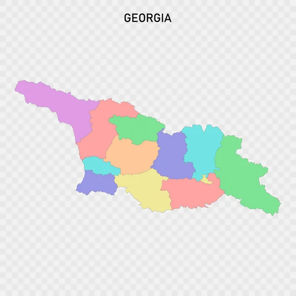
Isolated colored map of Georgia with borders of the regions
Isolated Colored Map Georgia Borders Regions — Stock Vector
Stencil map of Gabon Simple and minimal transparent map of Gabon Black rectangle with cut shape of
Stencil map of Gabon Simple and minimal transparent map of Gabon Black rectangle with cut shape of — Stock Vector
Map of Camden in Georgia
Map Camden Georgia — Stock Vector
Map of Brooks in Georgia
Map Brooks Georgia — Stock Vector

Explore Georgia with High-Quality Map Vector Images

If you are looking for quality vector images of Georgia maps, you are in the right place! Here you will find an extensive collection of vector images of different Georgia territories. These images are available in different file formats, such as JPG, AI, and EPS. You can use them for various purposes, including printed materials, presentations, websites, and more.

Why Choose Georgia Map Vector Images?

Georgia map vector images are created with a mathematical formula, making them scalable to any size without losing quality. They are incredibly versatile and can be used in various applications. Vector images load quickly and help improve your website's load speed, which is essential to enhance the user experience. Furthermore, vector images are editable and customizable. You can change the size, color, shape, and other elements to fit your specific needs. These features make them ideal for designers, marketers, and content creators who want to communicate their message effectively.

Choosing the Right Georgia Map Vector Image

When selecting a Georgia map vector image, consider the purpose of your project and the audience you are targeting. For instance, if you are creating a tourism brochure, choose images that will appeal to tourists. You can use images of top tourist attractions, popular hotels, and other places that tourists would want to visit. If you are creating a presentation for a business audience, use images that will resonate with your target audience. You can use maps that showcase your business's location, the industry you operate in, and other relevant details.
Using Georgia Map Vector Images Correctly

When using Georgia map vector images, check the terms of use to ensure that you can legally use them. Some images have restrictions such as attribution requirements, commercial use limitations, or exclusive licenses. Read the terms carefully, and if you are unsure, seek the advice of a legal professional. When using images on your website or social media, optimize them for web use to improve load times. Use appropriate image sizes and compress them to reduce file size without compromising quality. Finally, use images to enhance your content, not distract from it. Choose images that complement your message and fit seamlessly into your design.

Conclusion

Georgia map vector images are a must-have for designers, marketers, and content creators. By using them, you can create high-quality, professional projects that grab your audience's attention and communicate your message effectively. Use the tips mentioned here to choose the right image for your project, and ensure that you use them correctly. With the right image, you can elevate your content and make a lasting impression on your target audience. So why wait? Start exploring our collection of Georgia map vector images today!