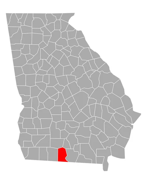
Georgia state map Stock Vector Images

100,000 Georgia state map vector art & graphics are available under a royalty-free license

  • Best Match
  • Fresh
  • Popular
1-100 of 100,000
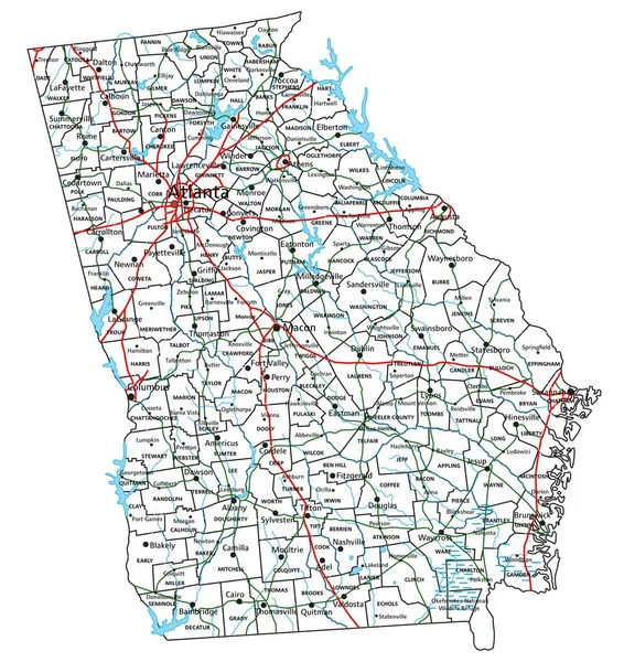
Georgia road and highway map. Vector illustration.
Georgia Road Highway Map Vector Illustration — Stock Vector
United States of America isolated map and Georgia state territory. vector USA political map. geographic banner design
United States of America isolated map and Georgia state territory. vector USA political map. geographic banner design — Stock Vector
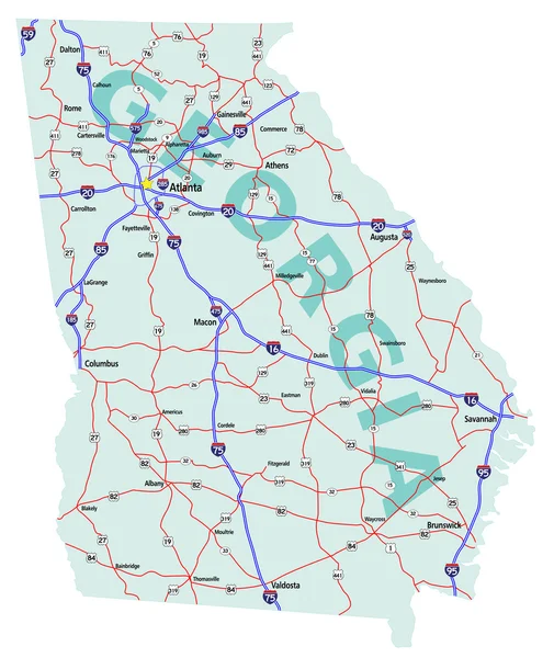
Georgia State Interstate Map
Georgia State Interstate Map — Stock Vector
Map of Georgia
Map of Georgia — Stock Vector
Georgia map on white background
Georgia map on white background — Stock Vector
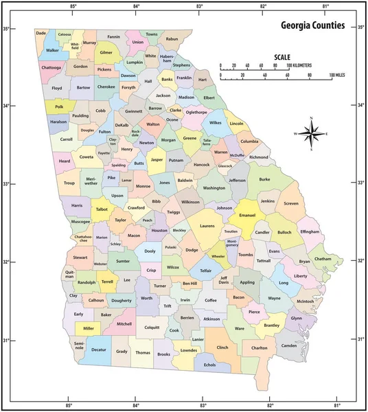
Georgia state outline administrative and political vector map in color
Georgia State Outline Administrative Political Vector Map Color — Stock Vector
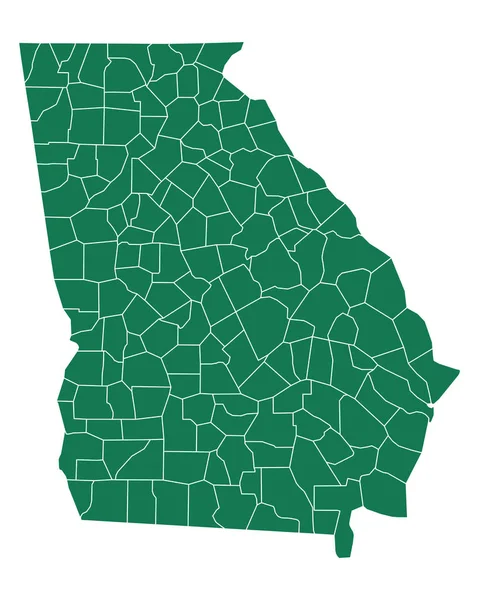
Georgia counties map
Georgia counties map — Stock Vector
Dotted Georgia map isolated on white background. Vector abstract map of the state.
Dotted Georgia Map Isolated White Background Vector Abstract Map State — Stock Vector
Georgia map shape, united states of america. Flat concept icon symbol vector illustration .
Georgia Map Shape United States America Flat Concept Icon Symbol — Stock Vector
Accurate map of Georgia
Accurate map of Georgia — Stock Vector
Accurate map of Georgia
Accurate map of Georgia — Stock Vector
Grey Flat Election Counties Map of the USA Federal State of Georgia
Grey Flat Election Counties Map Usa Federal State Georgia — Stock Vector
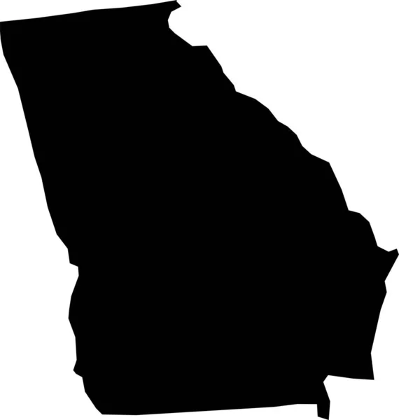
Georgia vector map silhouette. High detailed illustration. United state of America country
Georgia vector map silhouette. High detailed illustration. United state of America country — Stock Vector
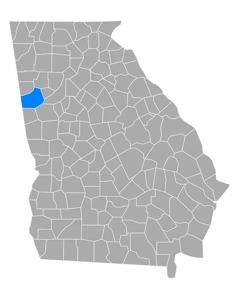
Map of Carroll in Georgia
Map Carroll Georgia — Stock Vector
Georgia map shape, united states of america. Flat concept icon symbol vector illustration .
Georgia Map Shape United States America Flat Concept Icon Symbol — Stock Vector
Sioux and Stutsman County, North Dakota State (U.S. county, United States of America, USA, U.S., US) map vector illustration, scribble sketch map
Sioux Stutsman County North Dakota State County United States America — Stock Vector
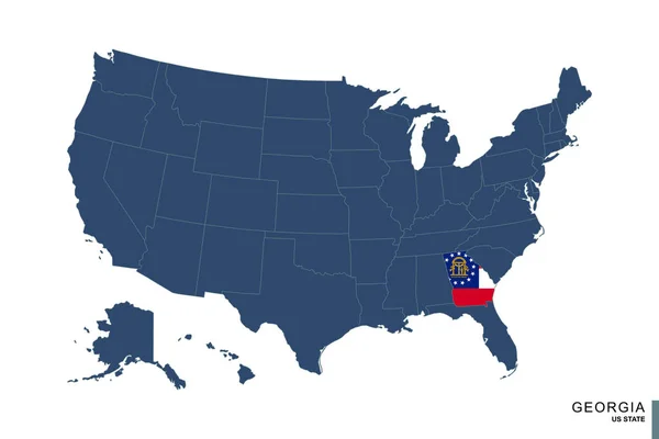
State of Georgia on blue map of United States of America. Flag and map of Georgia.
State Georgia Blue Map United States America Flag Map Georgia — Stock Vector
Ismailia Governorate (Governorates of Egypt, Arab Republic of Egypt) map vector illustration, scribble sketch Ismailia map
Ismailia Governorate Governorates Egypt Arab Republic Egypt Map Vector Illustration — Stock Vector
Map of the U.S. state Georgia
Map of the U.S. state  Georgia — Stock Vector
Map of the U.S. state of Georgia on a white background
Map of the U.S. state of Georgia on a white background — Stock Vector
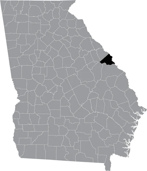
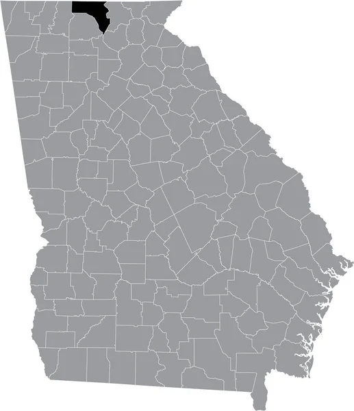
Black highlighted location map of the US Rabun county inside gray map of the Federal State of Georgia, USA
Black Highlighted Location Map Rabun County Gray Map Federal State — Stock Vector
Iowa state map
Iowa state map — Stock Vector
Black highlighted location map of the US Richmond county inside gray map of the Federal State of Georgia, USA
Black Highlighted Location Map Richmond County Gray Map Federal State — Stock Vector
Accurate map of Georgia
Accurate map of Georgia — Stock Vector
Fluvanna County, Commonwealth of Virginia (U.S. county, United States of America, USA, U.S., US) map vector illustration, scribble sketch Fluvanna map
Fluvanna County Commonwealth Virginia County United States America Usa Map — Stock Vector
Map of McIntosh in Georgia
Map Mcintosh Georgia — Stock Vector
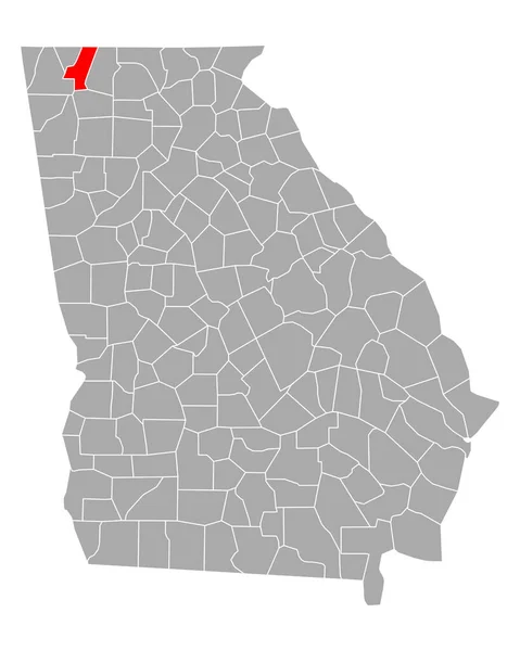
Black highlighted location map of the US Dade county inside gray map of the Federal State of Georgia, USA
Black Highlighted Location Map Dade County Gray Map Federal State — Stock Vector
Map of Floyd in Georgia
Map Floyd Georgia — Stock Vector
Map of Camden in Georgia
Map Camden Georgia — Stock Vector
Map of Camden in Georgia
Map Camden Georgia — Stock Vector
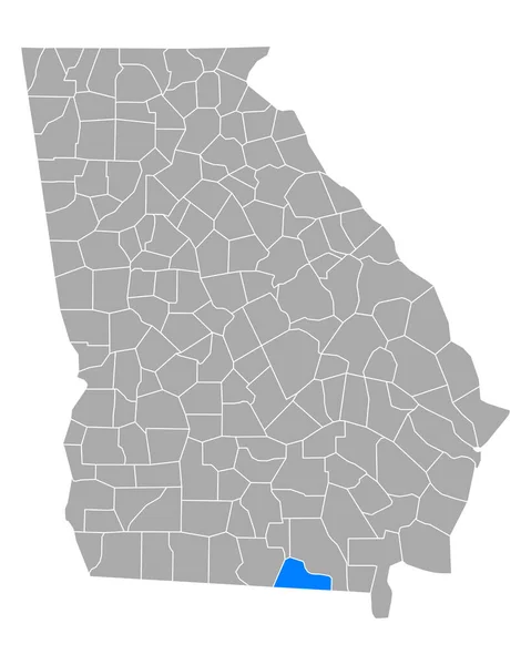
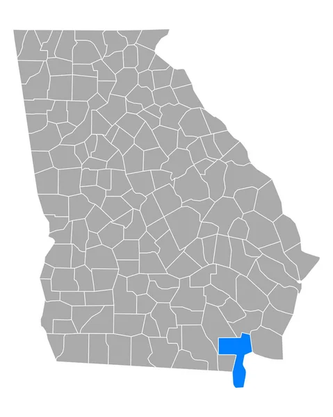
Map of Echols in Georgia
Map Echols Georgia — Stock Vector
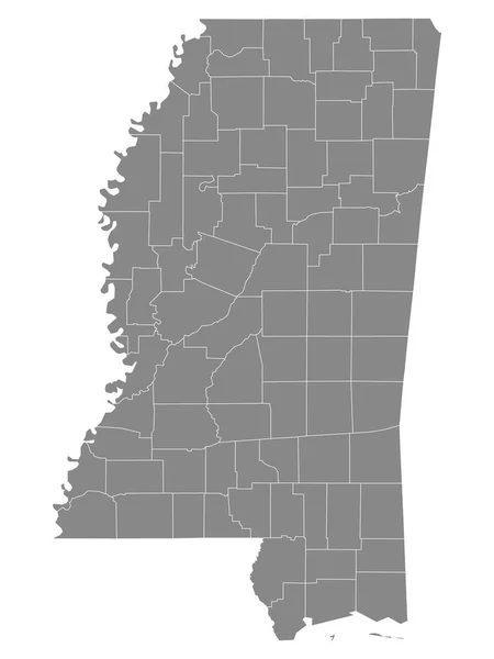
Gray Outline Counties Map of US State of Mississippi
Gray Outline Counties Map State Mississippi — Stock Vector
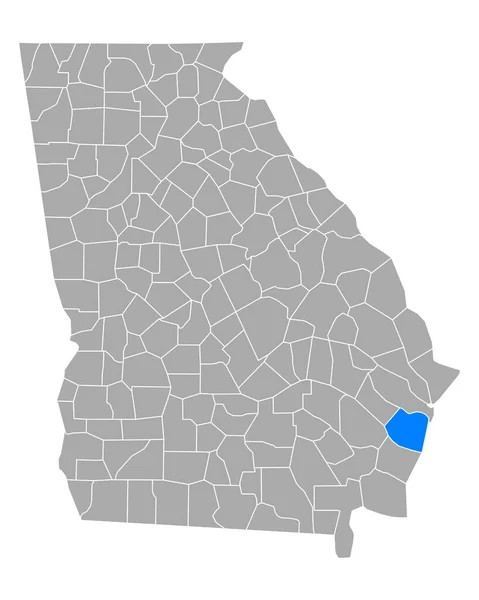
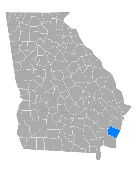
Map of Glynn in Georgia
Map Glynn Georgia — Stock Vector
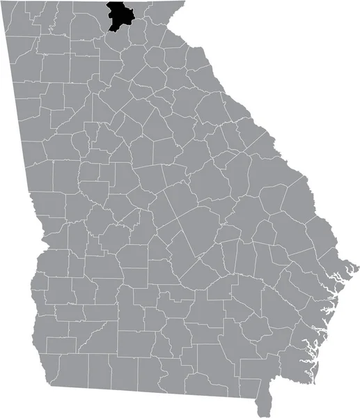
Black highlighted location map of the US Habersham county inside gray map of the Federal State of Georgia, USA
Black Highlighted Location Map Habersham County Gray Map Federal State — Stock Vector
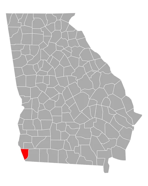
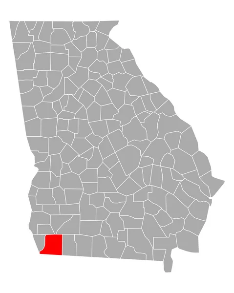
Black highlighted location map of the US Baker county inside gray map of the Federal State of Georgia, USA
Black Highlighted Location Map Baker County Gray Map Federal State — Stock Vector
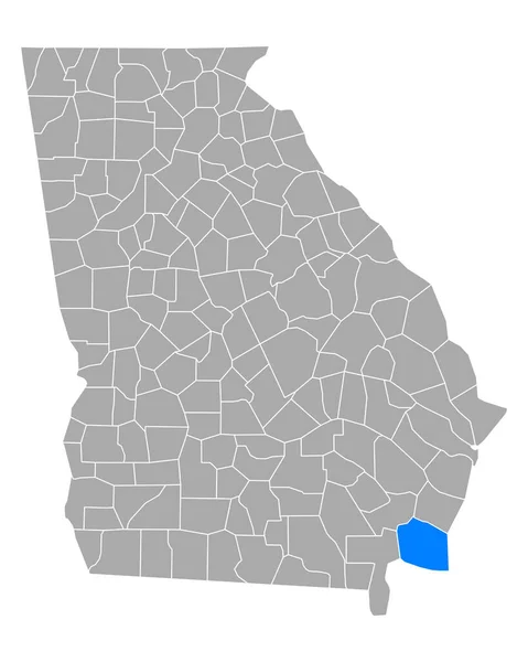
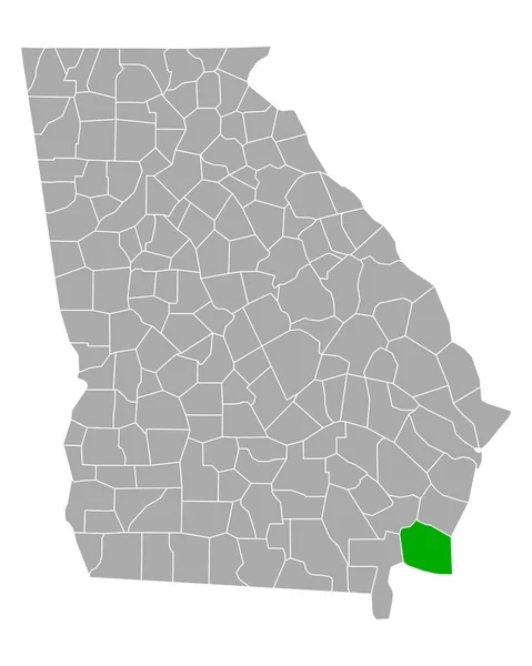
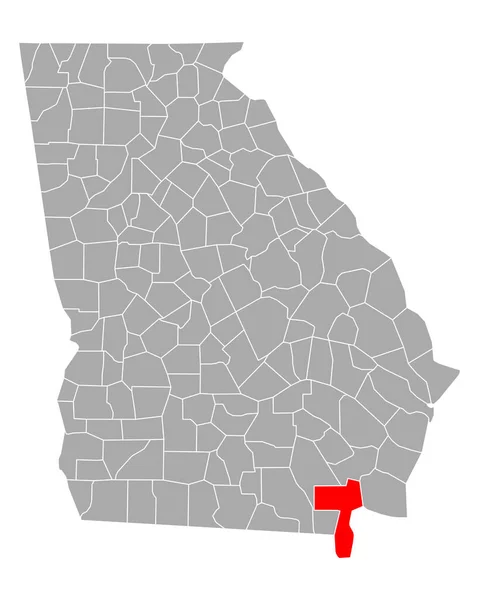
Map of Charlton in Georgia
Map Charlton Georgia — Stock Vector
Black highlighted location map of the US Floyd county inside gray map of the Federal State of Georgia, USA
Black Highlighted Location Map Floyd County Gray Map Federal State — Stock Vector
Clark County, Indiana (U.S. county, United States of America, USA, U.S., US) map vector illustration, scribble sketch Clark map
Clark County Indiana County United States America Usa Map Vector — Stock Vector
Map of Charlton in Georgia
Map Charlton Georgia — Stock Vector
Zambezi Region (Regions of Namibia, Republic of Namibia) map vector illustration, scribble sketch Caprivi Region map
Zambezi Region (Regions of Namibia, Republic of Namibia) map vector illustration, scribble sketch Caprivi Region map — Stock Vector
USA State counties emblem map
Usa State Counties Emblem Map — Stock Vector
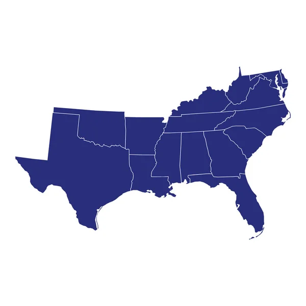
High Quality map of South region of United States of America with borders of the states
High Quality Map South Region United States America Borders States — Stock Vector
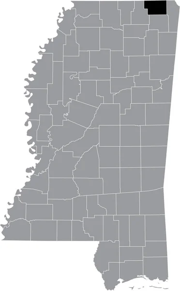
Black highlighted location map of the Alcorn County inside gray map of the Federal State of Mississippi, USA
Black Highlighted Location Map Alcorn County Gray Map Federal State — Stock Vector
Georgia state map icon vector illustration
Georgia State Map Icon Vector Illustration — Stock Vector
Russell County, Commonwealth of Virginia (U.S. county, United States of America, USA, U.S., US) map vector illustration, scribble sketch Russell map
Russell County Commonwealth Virginia County United States America Usa Map — Stock Vector
Map of Charlton in Georgia
Map Charlton Georgia — Stock Vector
Accurate map of Georgia
Accurate map of Georgia — Stock Vector
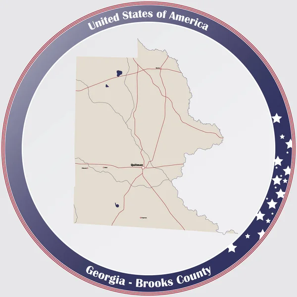
Large and detailed map of Brooks county in Georgia, USA.
Large Detailed Map Brooks County Georgia Usa — Stock Vector
Spalding County, Georgia (U.S. county, United States of America,USA, U.S., US) map vector illustration, scribble sketch Spalding map
Spalding County Georgia County United States America Usa Map Vector — Stock Vector
U.S. state of Georgia
U.S. state of Georgia — Stock Vector
Map of Seminole in Georgia
Map Seminole Georgia — Stock Vector
Georgia state outline administrative and political vector map in color
Georgia State Outline Administrative Political Vector Map Color — Stock Vector
Black highlighted location map of the US Union county inside gray map of the Federal State of Georgia, USA
Black Highlighted Location Map Union County Gray Map Federal State — Stock Vector
Black highlighted location map of the Tunica County inside gray map of the Federal State of Mississippi, USA
Black Highlighted Location Map Tunica County Gray Map Federal State — Stock Vector
Black highlighted location map of the US Irwin county inside gray map of the Federal State of Georgia, USA
Black Highlighted Location Map Irwin County Gray Map Federal State — Stock Vector
Guadalupe County, Texas (Counties in Texas, United States of America,USA, U.S., US) map vector illustration, scribble sketch Guadalupe map
Guadalupe County, Texas (Counties in Texas, United States of America,USA, U.S., US) map vector illustration, scribble sketch Guadalupe map — Stock Vector
Map of Decatur in Georgia
Map Decatur Georgia — Stock Vector
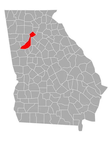
Map of Fulton in Georgia
Map Fulton Georgia — Stock Vector
Georgia state day with blue background
Georgia State Day Blue Background — Stock Vector
Circuit board Georgia
Circuit board Georgia — Stock Vector
Ashley County, Arkansas (U.S. county, United States of America,USA, U.S., US) map vector illustration, scribble sketch Ashley map
Ashley County, Arkansas (U.S. county, United States of America,USA, U.S., US) map vector illustration, scribble sketch Ashley map — Stock Vector
Grunge GEORGIA, USA Scratched Stamp Seals
Grunge GEORGIA, USA Scratched Stamp Seals — Stock Vector
Map of Echols in Georgia
Map Echols Georgia — Stock Vector
Georgia map shape, united states of america. Flat concept icon symbol vector illustration .
Georgia Map Shape United States America Flat Concept Icon Symbol — Stock Vector
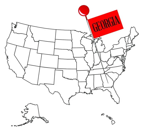
An outline map of USA with a knob pin in the state of Georgia
Outline Map Usa Knob Pin State Georgia — Stock Vector
Map of Quitman in Georgia
Map Quitman Georgia — Stock Vector
Black highlighted location map of the US Hale county inside gray map of the Federal State of Alabama, USA
Black Highlighted Location Map Hale County Gray Map Federal State — Stock Vector
Map of Dade in Georgia
Map Dade Georgia — Stock Vector
High Quality map of Georgia is a state of United States of America with borders of the counties
High Quality Map Georgia State United States America Borders Counties — Stock Vector
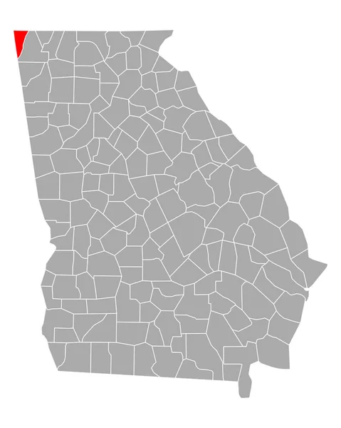
Black highlighted location map of the US Chattooga county inside gray map of the Federal State of Georgia, USA
Black Highlighted Location Map Chattooga County Gray Map Federal State — Stock Vector
Accurate map of Georgia
Accurate map of Georgia — Stock Vector
Map of angola. High detailed vector map - angola.
Map Angola High Detailed Vector Map Angola — Stock Vector
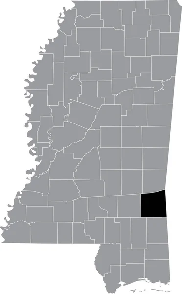
Black highlighted location map of the Wayne County inside gray map of the Federal State of Mississippi, USA
Black Highlighted Location Map Wayne County Gray Map Federal State — Stock Vector
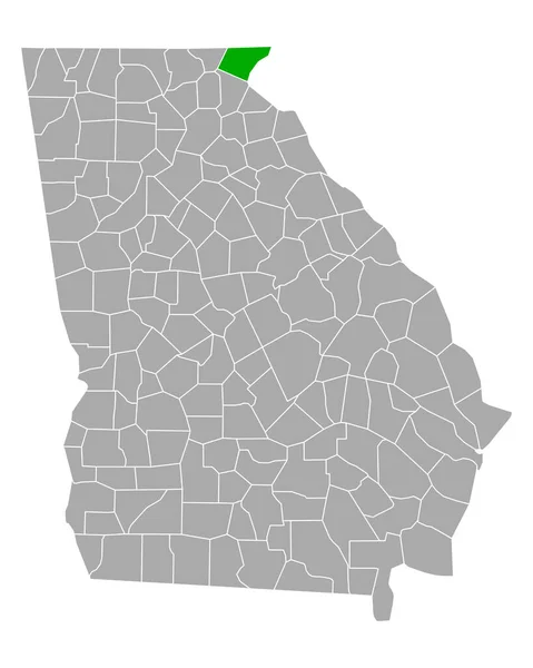
Black highlighted location map of the US Towns county inside gray map of the Federal State of Georgia, USA
Black Highlighted Location Map Towns County Gray Map Federal State — Stock Vector
Elgin County (Canada, Ontario Province, North America) map vector illustration, scribble sketch Elgin map
Elgin County Canada Ontario Province North America Map Vector Illustration — Stock Vector
Accurate map of Georgia
Accurate map of Georgia — Stock Vector
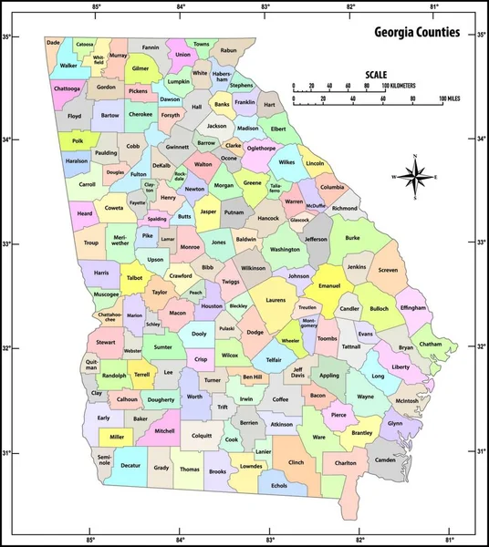
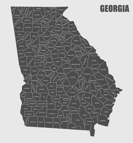
The Georgia State County Map with labels
Georgia State County Map Labels — Stock Vector
Detailed map of Georgia state,in .vector format,with county borders and major .cities
Detailed Map Georgia State Vector Format County Borders Major Cities — Stock Vector
High Quality map state of United States. Georgia
High Quality Map State United States Georgia — Stock Vector
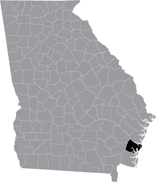
Black highlighted location map of the US Glynn county inside gray map of the Federal State of Georgia, USA
Black Highlighted Location Map Glynn County Gray Map Federal State — Stock Vector
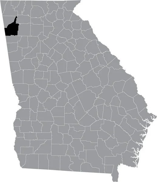
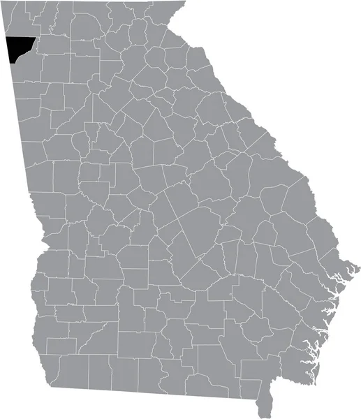
Black highlighted location map of the US Walker county inside gray map of the Federal State of Georgia, USA
Black Highlighted Location Map Walker County Gray Map Federal State — Stock Vector
Stencil map of Equatorial Guinea. Simple and minimal transparent map of Equatorial Guinea. Black rectangle with cut shape of the country. Artistic vector illustration.
Stencil Map Equatorial Guinea Simple Minimal Transparent Map Equatorial Guinea — Stock Vector
Map of Johnson in Georgia
Map Johnson Georgia — Stock Vector
Black highlighted location map of the Jefferson County inside gray map of the Federal State of Mississippi, USA
Black Highlighted Location Map Jefferson County Gray Map Federal State — Stock Vector
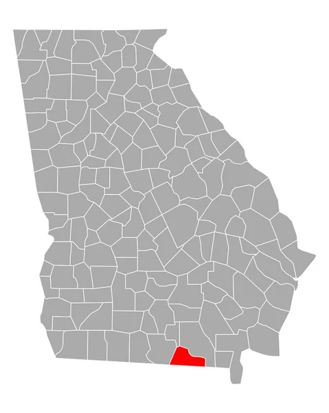
Mitchell County, Georgia (U.S. county, United States of America,USA, U.S., US) map vector illustration, scribble sketch Mitchell map
Mitchell County Georgia County United States America Usa Map Vector — Stock Vector
Georgia map icon. Georgia icon vector
Georgia Map Icon Georgia Icon Vector — Stock Vector
Map of Baldwin in Georgia
Map Baldwin Georgia — Stock Vector
Map of Glascock in Georgia
Map Glascock Georgia — Stock Vector
Map of Thomas in Georgia
Map Thomas Georgia — Stock Vector
Cherokee County, North Carolina State (U.S. county, United States of America, USA, U.S., US) map vector illustration, scribble sketch Cherokee map
Cherokee County North Carolina State County United States America Usa — Stock Vector
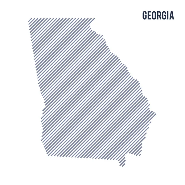
Vector abstract hatched map of State of Georgia with oblique lines isolated on a white background. Travel vector illustration.
Vector Abstract Hatched Map State Georgia Oblique Lines Isolated White — Stock Vector
Circuit board Georgia
Circuit board Georgia — Stock Vector
Black highlighted location map of the Grenada County inside gray map of the Federal State of Mississippi, USA
Black Highlighted Location Map Grenada County Gray Map Federal State — Stock Vector
Map of Whitfield in Georgia
Map Whitfield Georgia — Stock Vector
Map of Rabun in Georgia
Map Rabun Georgia — Stock Vector
Georgia state map polygonal illustration made of lines and dots, isolated on white background. US state low poly design
Georgia State Map Polygonal Illustration Made Lines Dots Isolated White — Stock Vector
Map of Brooks in Georgia
Map Brooks Georgia — Stock Vector
Shiny Grunge map of the Georgia - Illustration, Three Dimensional Map of Georgia
Shiny Grunge Map Georgia Illustration Three Dimensional Map Georgia — Stock Vector
Southeast Fairbanks Census Area, Alaska (Boroughs and census areas in Alaska, United States of America,USA, U.S., US) map vector illustration, scribble sketch Southeast Fairbanks map
Southeast Fairbanks Census Area, Alaska (Boroughs and census areas in Alaska, United States of America,USA, U.S., US) map vector illustration, scribble sketch Southeast Fairbanks map — Stock Vector
Black highlighted location map of the US Fannin county inside gray map of the Federal State of Georgia, USA
Black Highlighted Location Map Fannin County Gray Map Federal State — Stock Vector

Georgia State Map Vector Images: The Perfect Visual for Your Projects

Introduction

The Georgia State Map Vector is an ideal visual representation of the state's geographical boundaries and its various districts. These vector images can be used for multiple purposes, including educational material, presentations, websites, and marketing collaterals. If you're looking for a clear and concise depiction of the state's geography, then a Georgia State Map Vector is your go-to option.
The Types of Georgia State Map Vector Images

There are multiple types of Georgia State Map Vector images available, such as AI, EPS, and JPG formats, each with its own set of advantages. An AI file is a vector format that can be easily edited without losing resolution. Meanwhile, an EPS file is a scalable vector format that can be resized to any size without losing quality. A JPG file is a raster format that produces high-quality images but cannot be edited.

Where Can You Use Georgia State Map Vector Images?

Georgia State Map Vector Images are ideal for various projects, including creating brochures, websites, presentations, and educational material. You can use these vector graphics to showcase the state's regions, cities, and landmarks. It's an ideal visual aid for businesses, government organizations, or educators who want to depict the geographical and political boundaries of the state.

Practical Advice on Using Georgia State Map Vector Images

It's essential to use Georgia State Map Vector Images appropriately to ensure that you're using the right visual for your project. If you're creating a brochure, try incorporating the map into the design to give the brochure more context. If you're creating a website, use the map as a background or as part of an infographic to break up the text. Finally, if you're creating a presentation, use the map as a slide that supports your message or use it as an opening or closing slide.

In conclusion, Georgia State Map Vector Images are an essential visual aid for anyone creating content that requires an accurate representation of Georgia's geography. With multiple file formats available, you can select the right type for your project. By using Georgia State Map Vector Images correctly, you can elevate your project by providing context and visual interest to your audience.